The best hikes from bus stations around Baesweiler
4.4
(10076)
42,032
hikers
62
hikes
Bus station hiking trails around Baesweiler offer diverse outdoor experiences within Germany's StädteRegion Aachen. The region is characterized by its blend of reclaimed industrial landscapes, such as the Carl-AlexanderPark with its elevated spoil heap, and natural features like the Wurm Valley. Hikers can explore picturesque forests, river valleys, and the expansive Bördelandschaft. These areas provide a variety of terrain, from gentle paths along waterways to ascents offering panoramic views.
Best bus station hiking trails around Baesweiler
- The most popular bus station hiking route is Halden Circular Hiking Trail – Bergfoyer CarlAlexanderPark loop from Baesweiler, a 3.8 miles (6.2 km) trail that takes 1 hour 40 minutes to complete. This easy route ascends to an 80-meter-high plateau, offering views over the Meuse-Rhine Euregion.
- Another top favourite among local hikers is Halden Circular Hiking Trail – Bergfoyer CarlAlexanderPark loop from Beggendorf, a moderate 5.2 miles (8.3 km) path. This trail includes an elevated path through trees, providing unique perspectives of the park's transformed landscape.
- Local hikers also love the Siersdorfer Woods – Disused Railway Terminus loop from Setterich, a 5.3 miles (8.6 km) trail leading through forested areas, often completed in about 2 hours 12 minutes.
- Hiking around Baesweiler is defined by reclaimed industrial landscapes, river valleys, and surrounding forests. The network offers options for various ability levels, from easy strolls to moderate ascents.
- The routes in Baesweiler are highly rated by the komoot community with an average score of 4.5 stars from more than 9,900 reviews. More than 40,000 hikers have used komoot to explore Baesweiler's varied terrain.
Last updated: June 27, 2026
4.6
(37)
182
hikers
Easy hike. Great for any fitness level. Easily-accessible paths. Suitable for all skill levels.
4.4
(12)
64
hikers
Moderate hike. Good fitness required. Easily-accessible paths. Suitable for all skill levels.

Sign up for free
3.9
(7)
35
hikers
8.58km
02:12
30m
30m
Moderate hike. Good fitness required. Easily-accessible paths. Suitable for all skill levels.
4.3
(3)
17
hikers
6.41km
01:38
20m
20m
Easy hike. Great for any fitness level. Easily-accessible paths. Suitable for all skill levels.
4.9
(8)
24
hikers
Easy hike. Great for any fitness level. Easily-accessible paths. Suitable for all skill levels.
Get access to more routes and recommendations from other explorers.
Sign up for free
Already have an account?
Our route recommendations are based on thousands of hikes, rides, and runs completed by other people on komoot.
Start today with a free account
Your next adventure awaits.
Login or Signup

Tips from the Community

🌉 Schwebesteg – the Suspension Bridge in Carl-Alexander Park The Schwebesteg is one of the most characteristic features of the hiking trail in Carl-Alexander Park near Baesweiler, Germany. The name Schwebesteg means "suspended" or "floating" pedestrian bridge, and that's precisely what you'll find here: a bridge that forms a path above ground level through the trees and forms part of the ascent to the viewing platform on the Bergehalde Carl-Alexander. The Schwebesteg is a suspension bridge, approximately 25 meters long, that begins shortly after leaving the Bergfoyer and then transitions into the Himmelsstiege and the stairs leading to the summit plateau of the large slag heap. The bridge allows you to walk above the forest and the slope halfway up the ascent, creating an experience that is visually and physically different from a regular hiking trail.
0
0
🏞️ Carl-AlexanderPark – landscape history and transformation. Carl-AlexanderPark is located on the site of the former Grube Carl Alexander coal mine in Baesweiler, North Rhine-Westphalia, Germany. The mine began extracting coal in 1921 and ceased operations in 1975, with the last mine in the area closing in 1992. The remaining structures, particularly the high bergehalde (mine stone deposits), still dominate the landscape. Between 2002 and 2008, the area was redeveloped as a public park with a landscape architectural design that combines nature, recreation, heritage, and viewpoints. This project was part of the EuRegionale 2008 and has also won regional architecture awards. The park is open and free to enter, combining nature experiences with reminders of the region's industrial history. The route to the top is a hike suitable for most hikers in terms of length and difficulty, yet still offers a sense of adventure. You begin at the striking Bergfoyer (the park's central information and starting point) and walk across a suspension bridge between the treetops, then enter the Himmelsstiege, which takes you over 80 meters of elevation to the viewing platform. The path runs partially above ground through the trees, providing a rewarding climb over the surrounding landscape. The steps are steep but manageable, and there are places along the way to rest and take in the scenery. Once you reach the top, a spectacular panorama of the surrounding Meuse-Rhine Euregio unfolds. On clear days, the view extends across fields, forests, and villages to the horizon. This view emphasizes the contrast between the region's industrial past and its reclaimed natural value as a recreational and natural environment. The plateau is a popular spot for photography, tranquility, and experiencing the spatial scale of the landscape. The climb and the view make the Himmelsstiege one of the biggest attractions of CarlAlexanderPark for hikers and nature lovers.
0
0
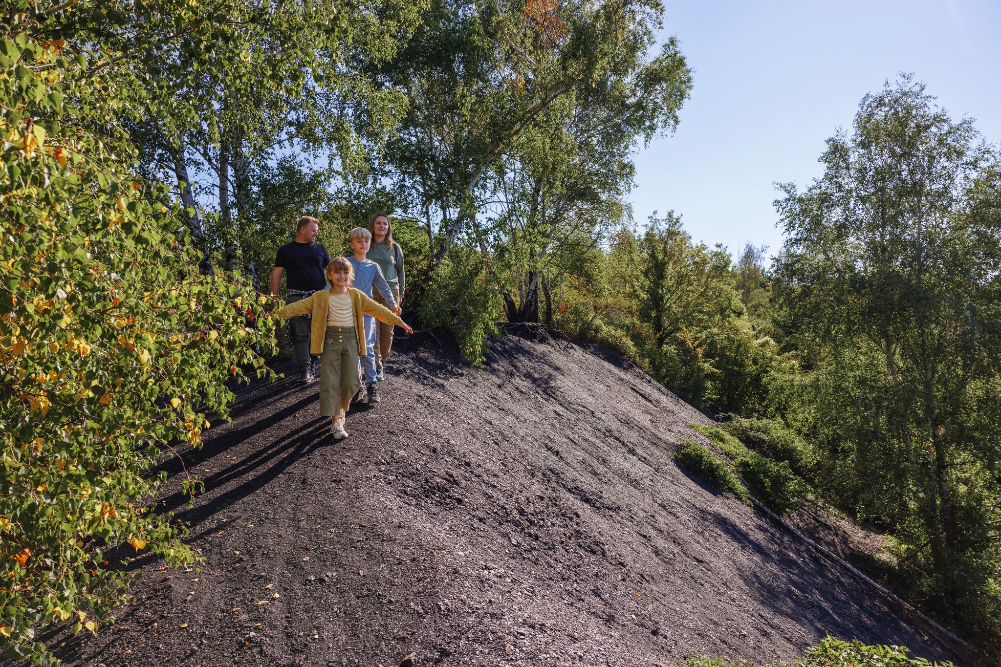
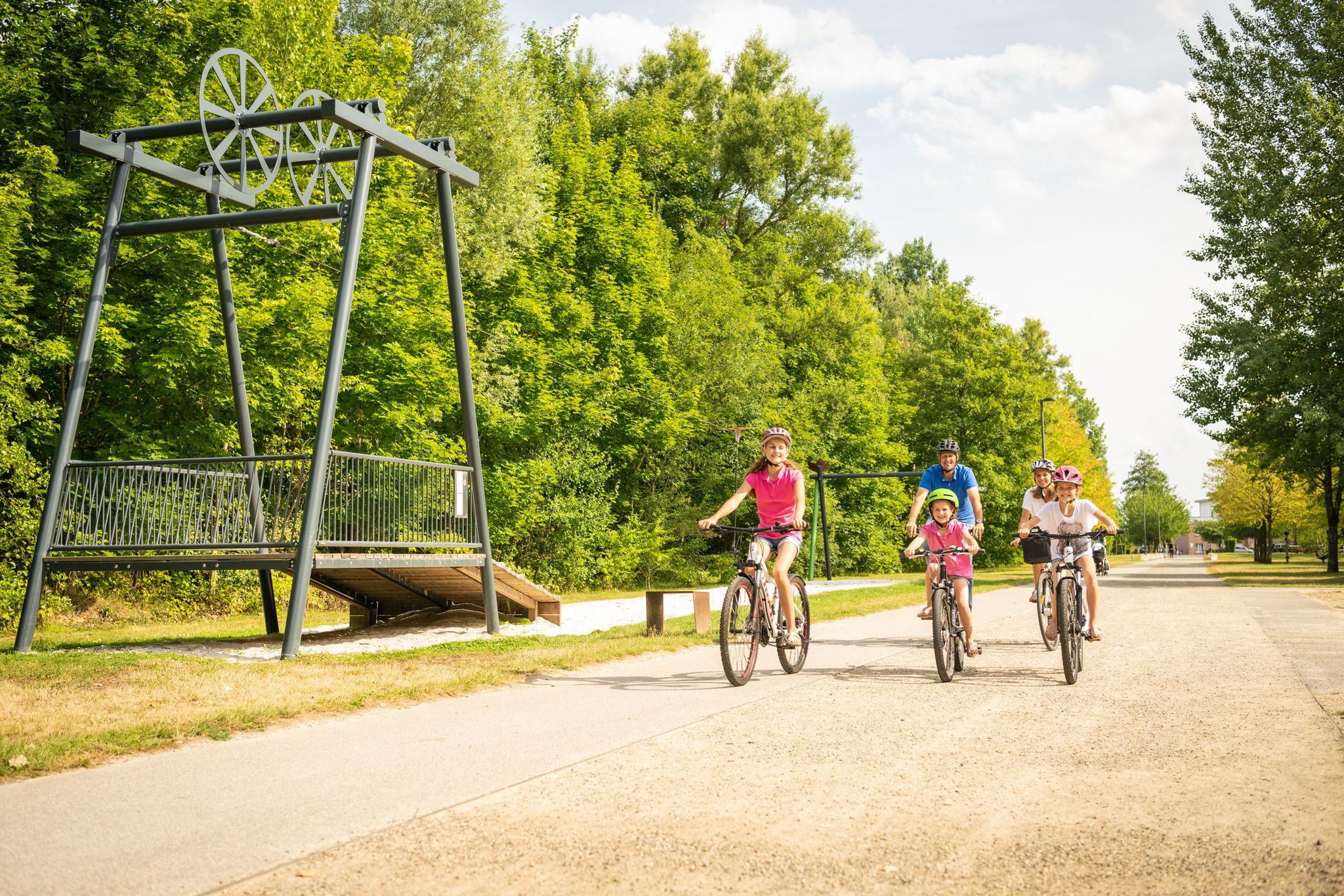
CarlAlexanderPark is a large recreation and out-of-the-way area in the German town of Baesweiler (North Rhine-Westphalia), near the border with the Netherlands. It is best known for its landscape park, which was created on the site of a former coal mine, and its Bergfoyer (Bergfoyer) as a central starting point for visitors. CarlAlexanderPark is a redeveloped former mining site (Grube Carl Alexander) that now serves as a large-scale nature walking and recreation area. The old coal deposits (heaps/halde) have been transformed into a park with hiking trails, viewpoints, and recreational facilities. The park has several paths and a steep route to an 80-meter-high mountain plateau with views over the Meuse-Rhine Euregion. The halde and surrounding areas have been restored as a nature reserve with unique flora and fauna, and information signs along the path. There are also playgrounds, open spaces, and a youth campsite in the Bergpark at the foot of the halde.
0
0

The old railway line where the coal was once loaded.
2
0
Baesweiler is a very beautiful town
0
1

Great starting point
0
1

The Baesweiler Chapel, also known as the Sebastianus Chapel, is a charming little chapel in Baesweiler, North Rhine-Westphalia, Germany. It was built between 1880 and 1890 on the site of an older medieval chapel that gave the area its name (Bastwilre/Sebastianusweiler). The chapel is owned by the EBV (Eschweiler Bergwerks-Verein) and is a beautiful place for quiet reflection and historical research.
1
0

A wonderful panoramic view! And unlike other slag heaps in the area, there is a path here that you can actually ride all the way up on a touring bike (even if it is strenuous). On the last upper section of the ascent path, slabs have even been laid instead of gravel to give the bike tires a better grip.
2
0
Frequently Asked Questions
How many bus station accessible hiking trails are there around Baesweiler?
There are over 60 hiking trails around Baesweiler that are easily accessible by bus, offering a wide range of options for exploring the region without a car. Most of these, about 48, are rated as easy, with 14 moderate routes available for those seeking a bit more challenge.
What kind of landscapes can I expect on bus-accessible hikes in Baesweiler?
You'll discover a diverse mix of landscapes. Many routes lead through the transformed industrial landscape of the Carl-Alexander Park, featuring the impressive spoil heap and panoramic views. Other trails explore the picturesque Wurm Valley, with its renatured river sections, and the expansive Bördelandschaft, characterized by open fields and forests surrounding Baesweiler.
Are there any circular hiking routes accessible from bus stations?
Yes, many of the bus-accessible routes are circular, allowing you to start and end your hike at the same bus stop. For example, the Halden Circular Hiking Trail – Bergfoyer CarlAlexanderPark loop from Baesweiler is an easy 6.2 km option, or for a slightly longer moderate challenge, consider the Halden Circular Hiking Trail – Bergfoyer CarlAlexanderPark loop from Beggendorf.
What are some interesting landmarks or attractions to see along these trails?
Many trails offer points of interest. The Carl-Alexander Park itself is a major attraction, with its unique 'Schwebesteg' (suspended pedestrian bridge) and the 'Himmelsstiege' leading to panoramic views. You might also encounter sections of the Wurm Cycle Path, which follows the renatured Wurm river, or pass by historic sites like Trips Castle on some routes.
Are the bus-accessible hiking trails in Baesweiler suitable for families?
Absolutely. With a large number of easy routes, many trails are well-suited for families. The Halden Circular Hiking Trail in Carl-Alexander Park is a great choice, offering interesting features like the spoil heap and views that can engage children. The varied terrain, from park paths to forest trails, provides an enjoyable experience for all ages.
Can I bring my dog on these bus-accessible hikes?
Yes, dogs are generally welcome on the hiking trails around Baesweiler. The region's forests and open landscapes provide plenty of space for your canine companion. Always remember to keep your dog on a leash where required, especially in nature reserves or near wildlife, and to clean up after them.
What is the best time of year to hike around Baesweiler using public transport?
Baesweiler offers enjoyable hiking experiences year-round. Spring brings blooming nature, while summer provides lush green forests. Autumn is particularly scenic with vibrant foliage, and even winter offers peaceful, crisp walks, especially in the Carl-Alexander Park with its unique landscape. Public transport operates consistently, making any season viable.
What do other hikers enjoy most about the trails around Baesweiler?
The area is highly rated by the komoot community, with an average score of 4.5 stars from nearly 10,000 ratings. Reviewers often praise the unique blend of reclaimed industrial landscapes, like the Carl-Alexander Park, with natural river valleys and forests. The well-maintained paths and panoramic views from the spoil heaps are frequently highlighted as favorites.
Are there any easy, shorter routes from a bus station for beginners?
Yes, there are many easy options perfect for beginners. The Historic Orchard Eifel – Station Flowerich loop from Floverich is an easy 6.4 km route, and the Kapellchen Chapel, Baesweiler – Heggeströfer Railway Memorial loop from Baesweiler is another accessible 7.6 km easy trail, both easily reachable by bus.
Are there any routes that explore the local forests?
Certainly. Many trails delve into the surrounding forests of Baesweiler. For example, the Siersdorfer Woods – Disused Railway Terminus loop from Setterich offers a moderate 8.6 km hike through wooded areas, providing a tranquil experience amidst nature.
Most popular routes around Baesweiler
Most popular attractions around Baesweiler

Get inspired with the komoot mobile app


Explore more
Browse the best Hikes in other regions.
