The best hikes from bus stations around Oberderdingen
4.6
(10238)
41,849
hikers
49
hikes
Bus station hiking trails around Oberderdingen traverse a varied landscape characterized by the wooded hills of the Kraichgau and Stromberg regions. The area features rolling hills, expansive vineyards, fruit orchards, and dense forests, creating diverse scenery for hikers. Notable natural features include the Kraichsee and Bernhardsweihersee lakes, which are protected areas supporting rich biodiversity. The region also encompasses the springs of the Kraich river and forms part of a watershed.
Best bus station hiking trails around Oberderdingen
- The most popular bus station hiking route is Bernhard's Pond – View from Derdinger Horn loop from Großvillars, a 5.4 miles (8.7 km) moderate trail that takes 2 hours 23 minutes to complete. This route offers views of Bernhardsweiher lake and the Derdinger Horn.
- Another top favourite among local hikers is Stairs to Panorama Trail – View from Derdinger Horn loop from Großvillars, a moderate 6.4 miles (10.3 km) path. This trail includes panoramic viewpoints and diverse terrain.
- Local hikers also love the Kraichsee hiking car park – Lake Kraich loop from Oberderdingen, an 8.1 miles (13.0 km) trail leading through varied landscapes around Lake Kraich, often completed in about 3 hours 33 minutes.
- Hiking around Oberderdingen is defined by wooded hills, vineyards, and lakes, with well-maintained paths suitable for various fitness levels. The network offers options for both leisurely walks and more challenging expeditions.
- The routes in Oberderdingen are highly rated by the komoot community with an average score of 4.6 stars from more than 9,900 reviews. More than 42,000 hikers have used komoot to explore Oberderdingen's varied terrain.
Last updated: May 15, 2026
4.9
(60)
272
hikers
8.71km
02:23
140m
140m
Moderate hike. Good fitness required. Easily-accessible paths. Suitable for all skill levels.
4.4
(31)
113
hikers
10.3km
02:49
170m
170m
Moderate hike. Good fitness required. Easily-accessible paths. Suitable for all skill levels.

Sign up for free
5.0
(7)
44
hikers
13.0km
03:33
200m
200m
Moderate hike. Good fitness required. Easily-accessible paths. Suitable for all skill levels.
5.0
(7)
43
hikers
Easy hike. Great for any fitness level. Easily-accessible paths. Suitable for all skill levels.
4.2
(5)
15
hikers
Easy hike. Great for any fitness level. Easily-accessible paths. Suitable for all skill levels.
Get access to more routes and recommendations from other explorers.
Sign up for free
Already have an account?
Our route recommendations are based on thousands of hikes, rides, and runs completed by other people on komoot.
Start today with a free account
Your next adventure awaits.
Login or Signup
Popular around Oberderdingen
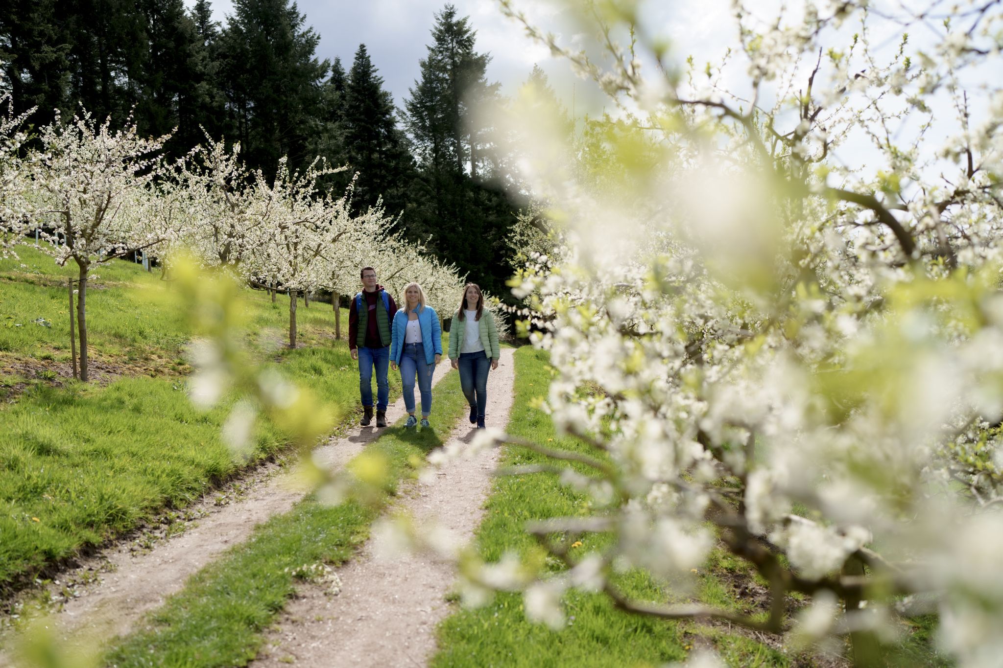
Hiking between Baden's vineyards, wildflowers & green lizards
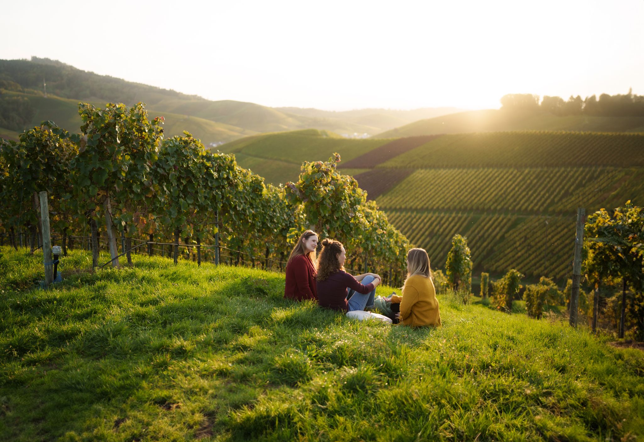
Picnics, wine and wide views – along the Baden Wine Route

Oases of calm – hill sofas in the land of 1,000 hills

Spring in the land of 1,000 hills – Kraichgau-Stromberg in Germany
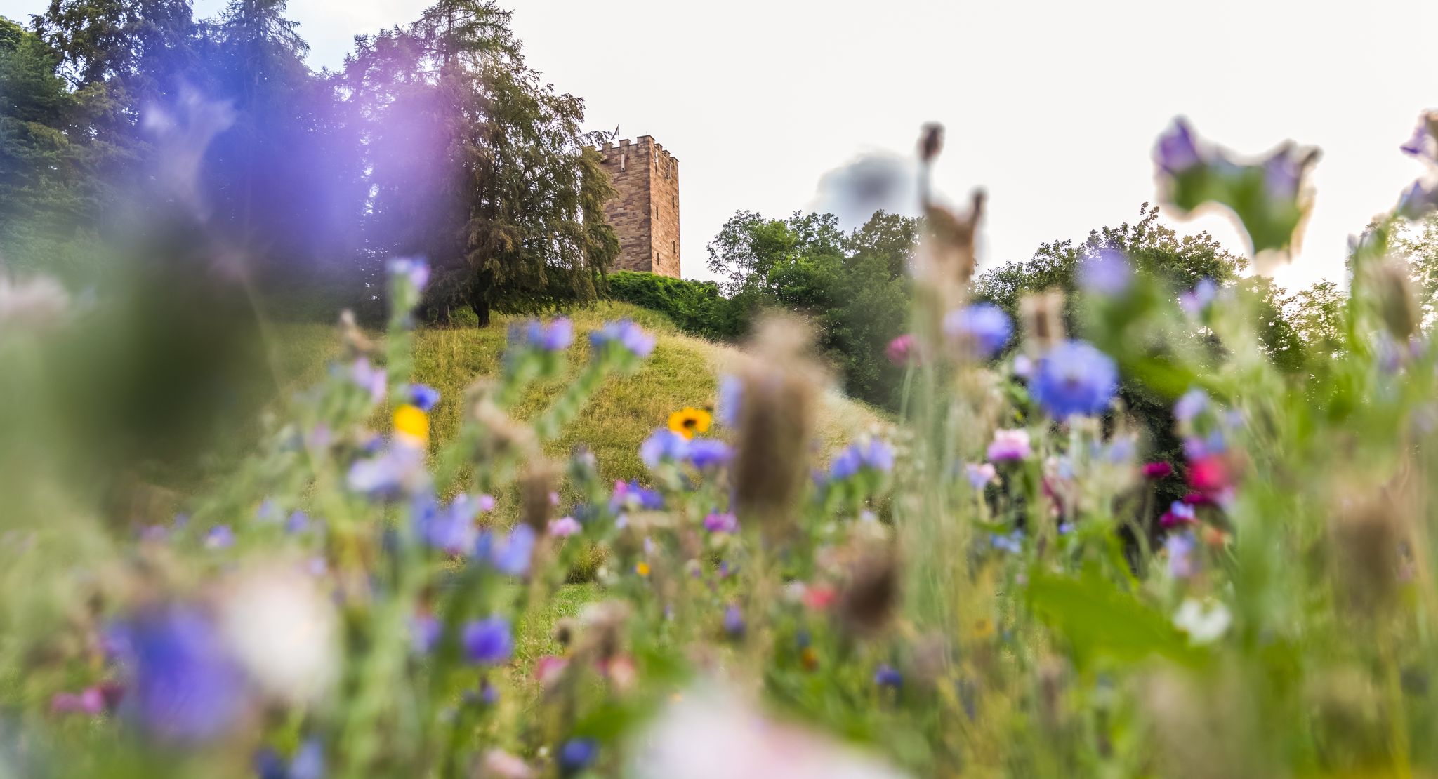
On foot in the nature park Stromberg-Heuchelberg
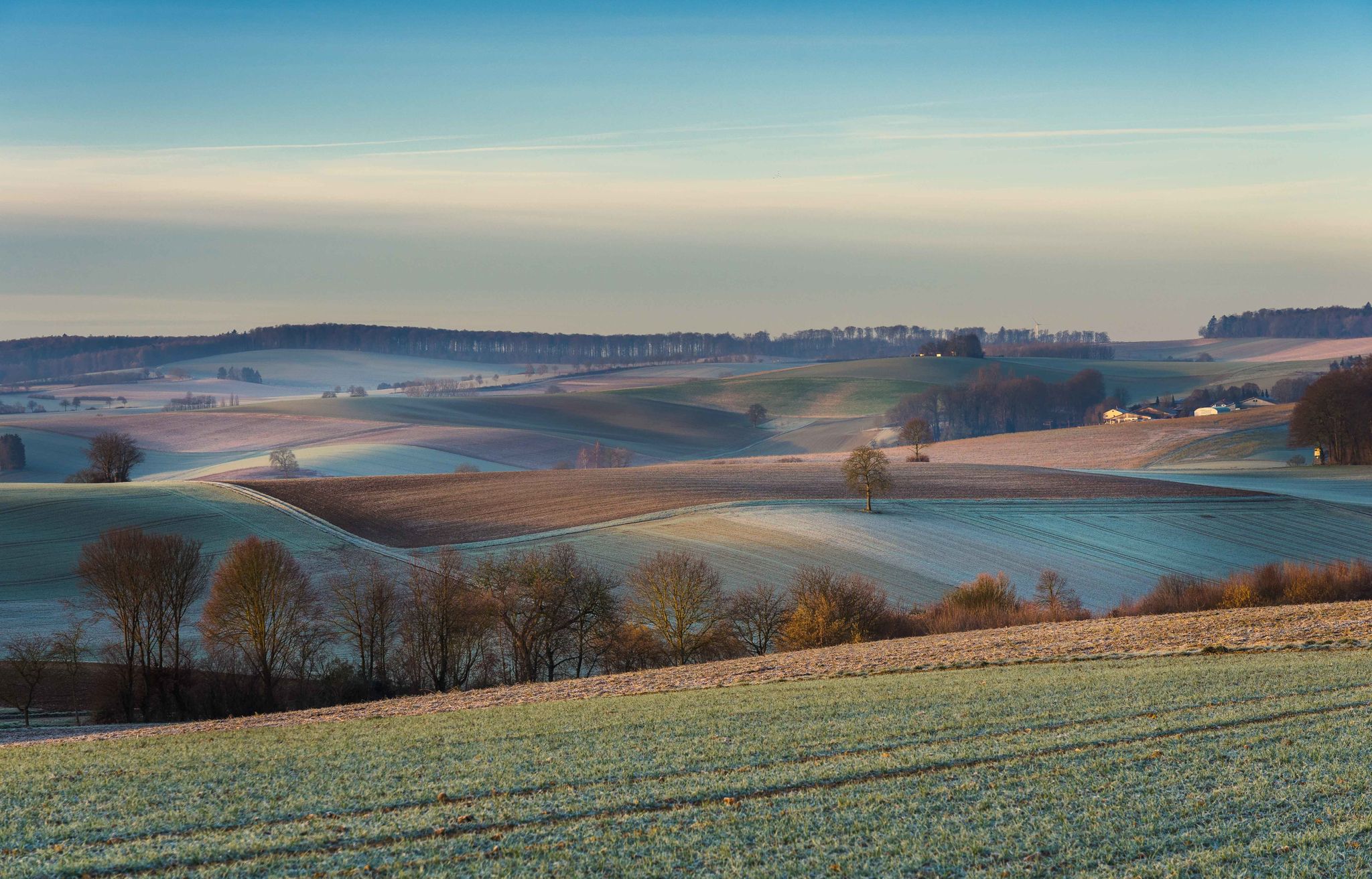
From hill to hill – hikes in Kraichgau-Stromberg
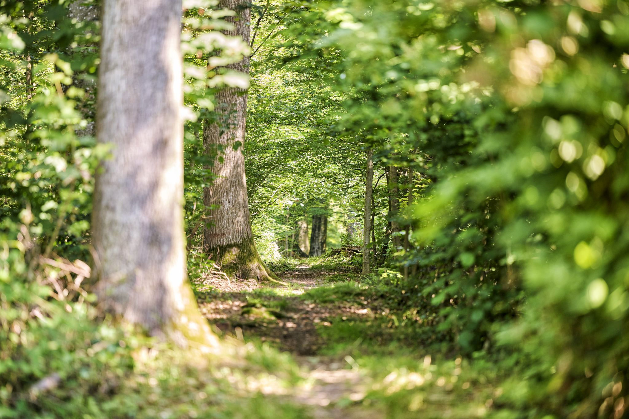
Trail running between woodlands & wine in the Land of 1000 Hills
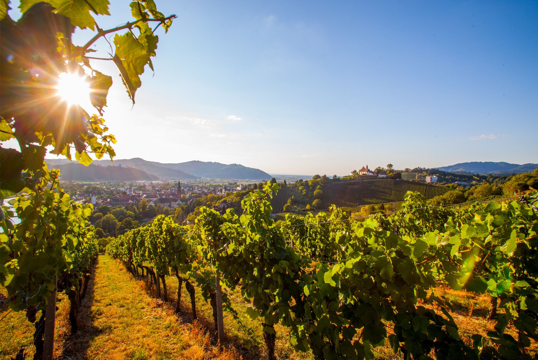
Right the Black Forest, left the Rhine – the Baden Wine Cycle Route
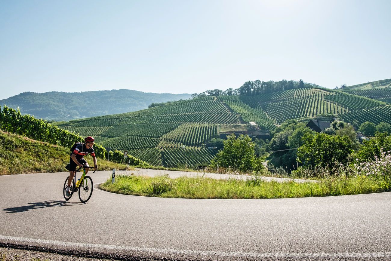
Von Heidelberg nach Basel: Vier Tage mit TOUR auf dem Badischen Weinradweg
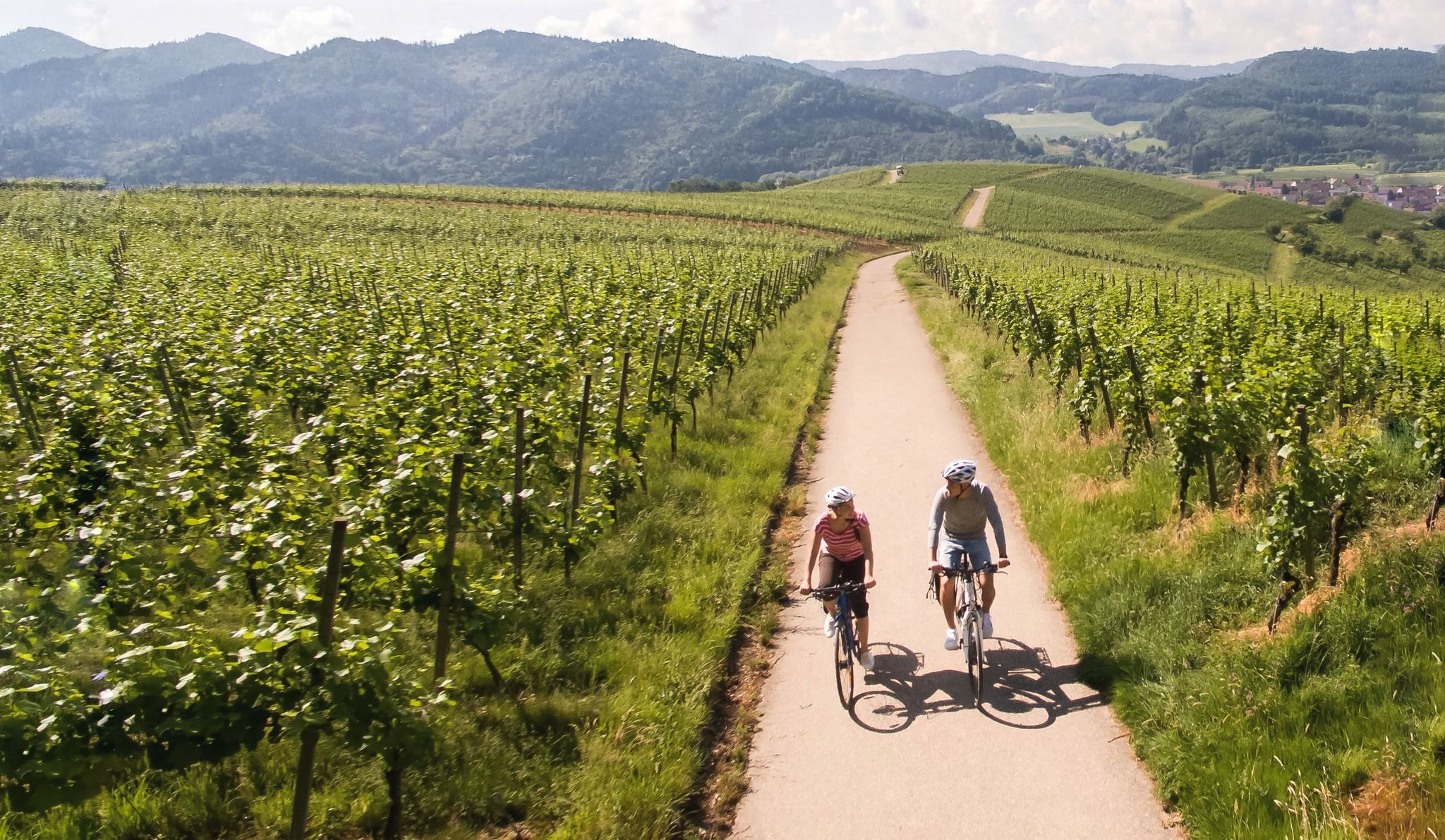
Vineyards and the Rhine Valley – the Baden Wine Cycle Route
Other adventures around Oberderdingen


Tips from the Community

Unfortunately, there is no "hiking shoe specialty store" or "proper shoemaker" here 🤷♂️!
1
0

In the Waldensermuseum, much information about the history of the Waldensians and the founding of the town of Großvillars (approx. 300 years ago by the Waldensians from the Chisone Valley in present-day Piedmont/Turin) is conveyed through many pictures. Some exhibits are displayed in display cases.
5
0
A bakehouse built according to a historical model, which was realized through a lot of volunteer work by members of the citizens' association. In addition, there is an information board on the side about the former master baker Jakob Friedrick Vincon (1845-1941), who practiced his trade in the historical bakehouse of Großvillars.
5
0
Approx. 80-year-old Wengerhäusle, which was built together with the vineyard and partly built into the wall. It first served as a shelter for animals that helped with cultivation, and later also as a storage place for frequently used equipment in viticulture. An information board provided further background knowledge about the significance of this little house.
3
0
Seating area above the vineyards with a good view of the Bernhardsweiher below, created in the 13th century by monks, as well as the surrounding landscape.
3
0
Practical connection via diverse steps to reach the panoramic path above the vineyards, as part of the Oberderdinger Weinwanderweg.
4
0
The gatekeeper's house with a gate arch represents the original access to the Amthof, which was only possible via a drawbridge until 200 years ago. In the middle of the gate arch is the Herrenalb coat of arms. In the 16th century, Abbot Lukas Götz v. Merstetten had his motto inserted. "Ama Me Te Semper Amavi" means "Love me as I have always loved you". Through the conquest of Duke Ulrich (1504), the Württemberg coat of arms can be seen to its right. The coat of arms shows 3 deer antlers, the lozenges of the Duchy of Teck, the imperial banner, and the bars of Mömpelgard (France), which belonged to Württemberg for 400 years. To the right of the gate arch stands the gatekeeper's house, which houses the Schneckenhaus daycare center.
4
0

Free parking for hikers at Kraichsee
0
0
Frequently Asked Questions
How many bus station hiking trails are available around Oberderdingen?
There are over 45 bus-accessible hiking trails around Oberderdingen, offering a wide variety of options for different skill levels and interests. You'll find a good mix of easy and moderate routes.
What kind of landscapes can I expect on bus-accessible trails in Oberderdingen?
Oberderdingen is nestled between the wooded hills of the Kraichgau and Stromberg regions. Expect diverse landscapes including rolling hills, expansive vineyards, thriving fruit orchards, and dense forests. You'll also encounter picturesque lakes like the Kraichsee and Bernhardsweihersee, and unique cultural elements like historic dry stone walls.
Are there easy bus-accessible hikes suitable for beginners in Oberderdingen?
Yes, nearly 30 of the bus-accessible routes in Oberderdingen are rated as easy, making them perfect for beginners or those looking for a more relaxed walk. An example is the Waldenser Museum Großvillars – View from Derdinger Horn loop from Großvillars, which is an easy 7 km hike.
Are there family-friendly bus station hikes in Oberderdingen?
Yes, the region offers trails suitable for families. The Oberderdingen Adventure Trail, for instance, is designed with interactive stations for children. Many of the easier, shorter routes are also great for families. Look for trails around the lakes or through orchards for pleasant, less strenuous options.
Can I bring my dog on these bus-accessible trails?
Generally, dogs are welcome on hiking trails in the Oberderdingen region, provided they are kept on a leash, especially in nature protection areas or near wildlife. Always be mindful of local regulations and other hikers. Many of the paths through forests and vineyards are ideal for walks with your canine companion.
Are there circular bus-accessible routes available?
Yes, many of the bus-accessible hikes in Oberderdingen are circular routes, allowing you to start and end at the same bus stop without retracing your steps. Examples include the Bernhard's Pond – View from Derdinger Horn loop from Großvillars and the Kraichsee hiking car park – Lake Kraich loop from Oberderdingen.
What natural attractions can I see along bus-accessible hiking routes in Oberderdingen?
Many routes pass by beautiful natural features. You can explore the Kraichsee and Bernhardsweihersee lakes, which are protected areas rich in biodiversity. Other nearby attractions include the Ehmetsklinge Reservoir, West shore of Aalkistensee, and Katzenbachsee. The Derdinger Horn viewpoint also offers a unique "Geological Window".
Are there any historical or cultural landmarks accessible by bus and foot?
Yes, the region is rich in history. While hiking, you might encounter historic dry stone walls. The nearby Maulbronn Monastery, a UNESCO World Heritage Site, is a significant cultural landmark. You can also find various castles in the vicinity, such as Gondelsheim Castle or Ravensburg Castle, which might be accessible via connecting bus routes and short walks.
Are there bus-accessible trails that offer panoramic views?
Absolutely. The Derdinger Horn is a prominent viewpoint offering extensive panoramic views over the Kraichgau and Stromberg regions. Routes like the Stairs to Panorama Trail – View from Derdinger Horn loop from Großvillars specifically highlight these scenic vistas. The WEINPLATEAU Oberderdingen also provides an excellent viewing platform.
What do other hikers say about the bus-accessible trails in Oberderdingen?
The komoot community highly rates the trails in Oberderdingen, with an average score of 4.6 stars from nearly 10,000 ratings. Reviewers often praise the varied scenery, well-maintained paths, and stunning views, highlighting the gentle ascents and descents as ideal for a wide range of outdoor activities.
Are there bus-accessible routes that pass through vineyards or offer wine-related experiences?
Yes, Oberderdingen is known for its viticulture. The WeinErlebnisWeg (Wine Experience Trail) is a circular path that delves into local wine production. Many routes, such as the Bernhard's Pond – View of Kraichgau Vineyards loop, wind through picturesque vineyards, offering opportunities to learn about and potentially sample regional wines at local establishments.
Most popular routes around Oberderdingen
Most popular attractions around Oberderdingen

Get inspired with the komoot mobile app


Explore more
Browse the best Hikes in other regions.
