Easy hikes and walks around Oberderdingen
4.6
(10673)
41,248
hikers
119
hikes
Easy hiking trails around Oberderdingen are set within a landscape characterized by rolling hills, expansive vineyards, and dense forests, situated at the confluence of the Kraichgau and Stromberg regions. The area features key natural elements like the Kraichsee and Bernhardsweihersee lakes, which are often integrated into routes. Oberderdingen is also nestled within the Stromberg-Heuchelberg Nature Park, offering a network of well-maintained trails.
Best easy hiking trails around Oberderdingen
- The most popular easy hiking route is OD3 - Bernhardsweiher Tour,…
Last updated: July 8, 2026
4.8
(101)
380
hikers
4.09km
01:06
50m
60m
Easy hike. Great for any fitness level. Easily-accessible paths. Suitable for all skill levels.
4.6
(111)
352
hikers
6.35km
01:43
90m
90m
Easy hike. Great for any fitness level. Easily-accessible paths. Suitable for all skill levels.

Sign up for free
4.8
(24)
69
hikers
Easy hike. Great for any fitness level. Easily-accessible paths. Suitable for all skill levels.
4.9
(29)
148
hikers
6.60km
01:48
110m
100m
Easy hike. Great for any fitness level. Easily-accessible paths. Suitable for all skill levels.
4.8
(6)
36
hikers
4.62km
01:14
60m
60m
Easy hike. Great for any fitness level. Easily-accessible paths. Suitable for all skill levels.
Get access to more routes and recommendations from other explorers.
Sign up for free
Already have an account?
Our route recommendations are based on thousands of hikes, rides, and runs completed by other people on komoot.
Start today with a free account
Your next adventure awaits.
Login or Signup
Popular around Oberderdingen
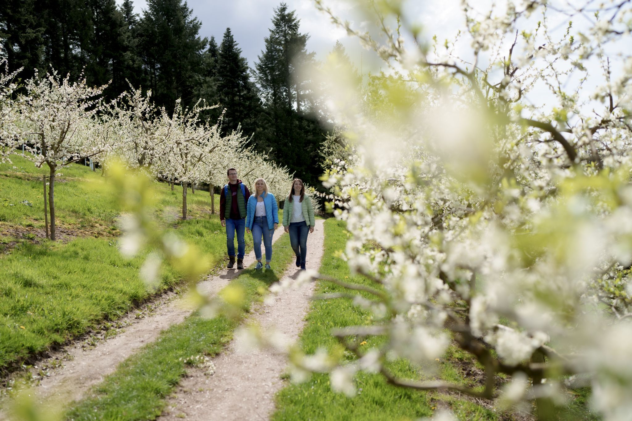
Hiking between Baden's vineyards, wildflowers & green lizards
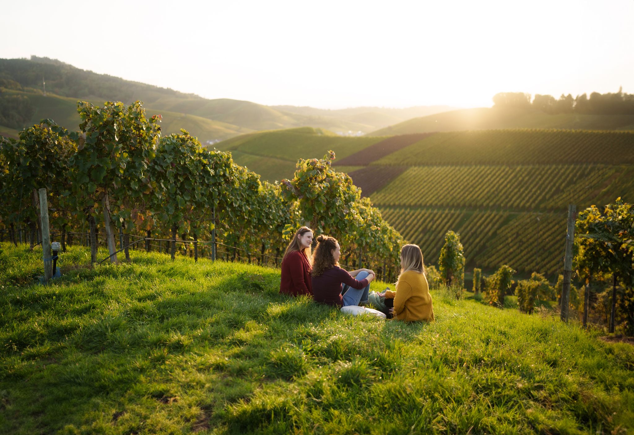
Picnics, wine and wide views – along the Baden Wine Route

Oases of calm – hill sofas in the land of 1,000 hills

Spring in the land of 1,000 hills – Kraichgau-Stromberg in Germany
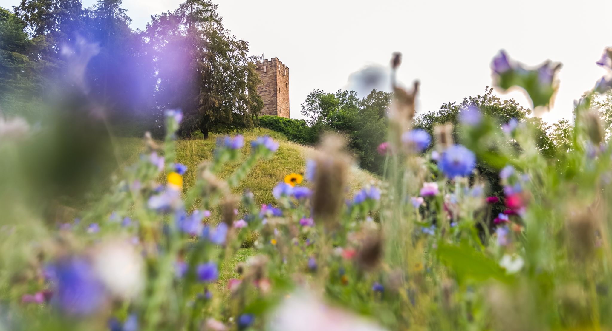
On foot in the nature park Stromberg-Heuchelberg
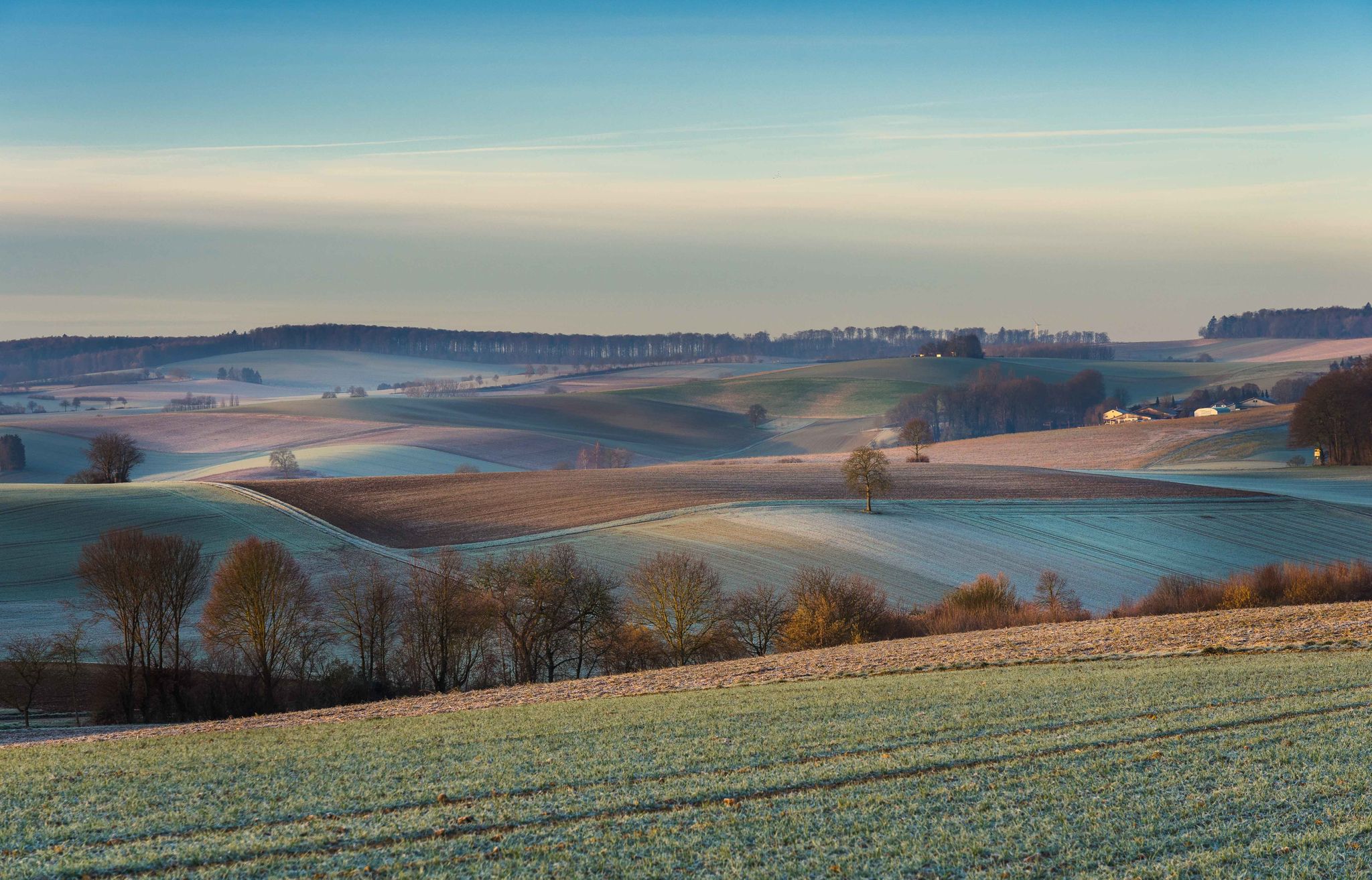
From hill to hill – hikes in Kraichgau-Stromberg
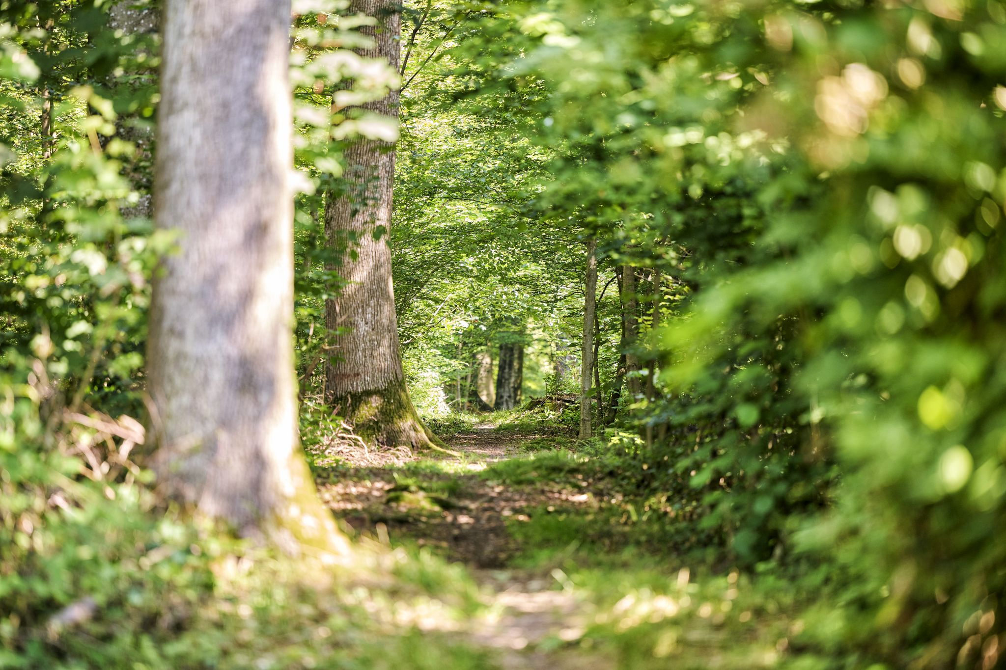
Trail running between woodlands & wine in the Land of 1000 Hills
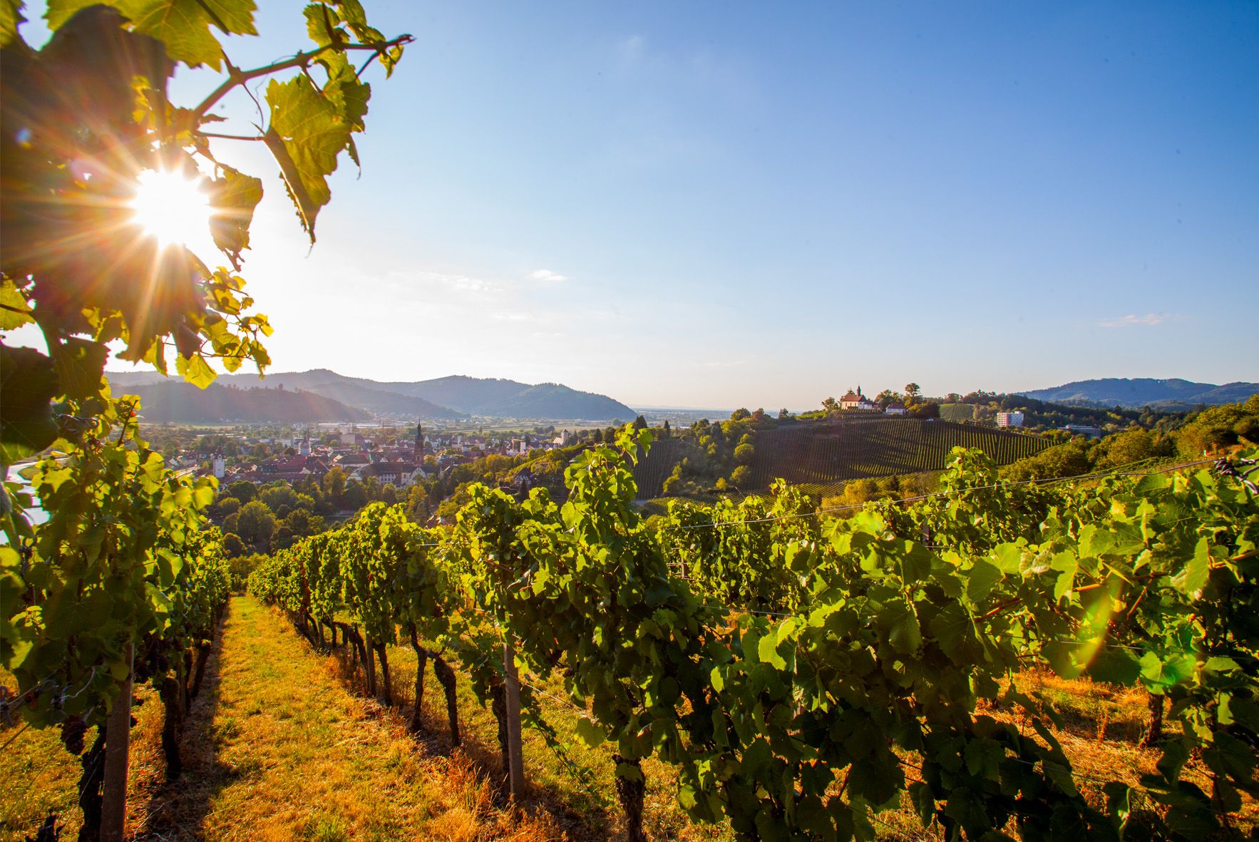
Right the Black Forest, left the Rhine – the Baden Wine Cycle Route
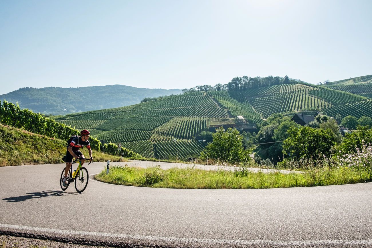
Von Heidelberg nach Basel: Vier Tage mit TOUR auf dem Badischen Weinradweg
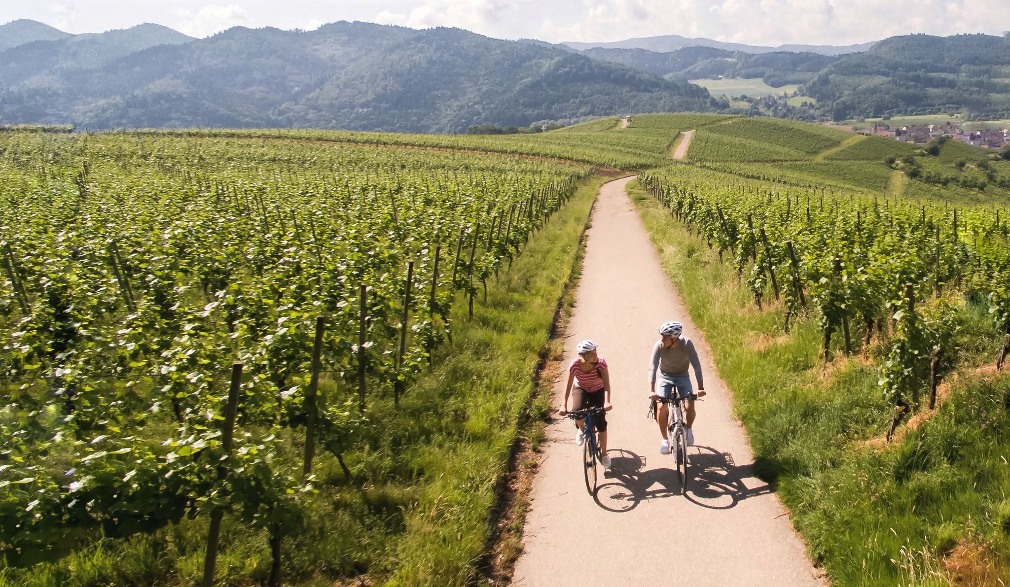
Vineyards and the Rhine Valley – the Baden Wine Cycle Route
Other adventures around Oberderdingen


Tips from the Community

Beautiful view over the vineyards from a small paved viewpoint.
2
0
Seating area above the vineyards with a good view of the Bernhardsweiher below, created in the 13th century by monks, as well as the surrounding landscape.
3
0
Practical connection via diverse steps to reach the panoramic path above the vineyards, as part of the Oberderdinger Weinwanderweg.
4
0
With the help of historical events, the age of an oak tree is illustrated here with its growth rings.
4
0

Rest benches along the Derdinger Horn panoramic trail
0
0
Staircase ascent to the Derdinger Horn panoramic trail
0
0

A very beautiful lake with plenty of shade. There's also a bench with a trash can. There should be more of these along the route.
0
0

Beautiful path above the vineyards with wonderful views of the Kraichgau.
1
1
Frequently Asked Questions
How many easy hiking trails are there around Oberderdingen?
There are over 75 easy hiking trails around Oberderdingen, offering a wide variety of landscapes from rolling hills and vineyards to dense forests and serene lakes. In total, the region boasts more than 110 hiking routes for various skill levels.
What are some short and easy hikes suitable for a quick outing?
For a quick and pleasant walk, consider the OD3 - Bernhardsweiher Tour, which is about 4.1 km long and takes just over an hour. Another great option is the Stairs to Panorama Trail – View of Kraichgau Vineyards loop from Oberderdingen, a 3.6 km route that also offers scenic views.
Are there family-friendly easy hikes in Oberderdingen?
Yes, Oberderdingen offers several family-friendly easy hikes. The region's diverse trail network includes routes suitable for various ability levels, and the OD3 - Bernhardsweiher Tour around Bernhardsweiher lake is a gentle option. The 'Oberderdingen Adventure Trail' is specifically designed for families, featuring stations for climbing, balancing, and exploring, though a specific komoot route for it isn't listed here.
What kind of views can I expect on easy trails around Oberderdingen?
Easy trails in Oberderdingen often provide expansive views over the surrounding region. The View from Derdinger Horn is a notable highlight, offering panoramic vistas. Many routes also lead through vineyards, providing picturesque views of the Kraichgau region, such as the Bernhard's Pond – View of Kraichgau Vineyards loop from Oberderdingen.
What do other hikers enjoy most about hiking in Oberderdingen?
The area is highly rated by the komoot community, with an average score of 4.7 stars from over 600 reviews. Hikers frequently praise the diverse and picturesque landscapes, including rolling hills, vineyards, and dense forests, as well as the well-maintained and clearly signposted trails.
Are there circular easy walks available in Oberderdingen?
Yes, the region is known for its numerous well-signposted circular routes. Many trails, like the Lake Trinkwald – Lake Kraich loop from Sternenfels, are designed as loops, allowing you to start and end at the same point without retracing your steps.
When is the best time of year for easy hikes in Oberderdingen?
Spring and autumn are considered the best seasons for hiking in Oberderdingen. During these times, the landscape is particularly vibrant, with colorful flower meadows in spring and glowing vines and golden leaves in autumn, offering a beautiful backdrop for your walks.
What natural features or landmarks can I see along easy hiking trails?
Easy trails often incorporate key natural features like the Kraichsee and Bernhardsweihersee lakes. You might also encounter historic dry stone walls, vineyards, and forests. Notable landmarks include the View from Derdinger Horn and the St. Ottilien Chapel on the Ottilienberg.
Are there any easy trails that pass by lakes?
Absolutely. The region is home to the Kraichsee and Bernhardsweihersee lakes, which are often integrated into hiking routes. The OD3 - Bernhardsweiher Tour circles the Bernhardsweiher lake, and the Lake Trinkwald – Lake Kraich loop from Sternenfels passes by the Kraichsee, known for birdwatching.
Can I find easy hikes that are accessible by public transport in Oberderdingen?
While many trails are easily accessible by car, some routes around Oberderdingen may be reachable via local public transport options. It's advisable to check local bus schedules and connections to trailheads for specific routes, especially those starting directly from the town center, like the Old Town Hall, Oberderdingen – View from Derdinger Horn loop from Oberderdingen.
Are there any cultural or historical sights along the easy trails?
Many trails in Oberderdingen integrate cultural highlights. For example, the 'Kraichgau Panorama Trail' can lead to the UNESCO World Heritage Site of Maulbronn Monastery (though not a specific easy route listed here). The Amthof in Oberderdingen, a well-preserved medieval monastic farm, is also a point of interest on some routes. You might also encounter historical markers like the Historical Stone Marker on the Stromberg Swabian Forest Trail.
Are there easy hiking trails suitable for winter walks?
While spring and autumn are ideal, many easy trails in Oberderdingen remain accessible for winter walks, especially those on lower elevations or well-maintained paths. The serene landscapes, particularly around the lakes and through the forests, can offer a unique beauty in winter. Always check local conditions for snow or ice before heading out.
Most popular routes around Oberderdingen
Most popular attractions around Oberderdingen

Get inspired with the komoot mobile app


Explore more
Browse the best Hikes in other regions.
