The best hikes from bus stations around Hüttschlag
4.5
(4555)
27,309
hikers
16
hikes
Bus station hiking trails around Hüttschlag are set within the Grossarl Valley, a region known as the "Valley of Mountain Huts" and recognized as a "Mountaineering Village." The area is characterized by its alpine setting, with a significant portion lying within the Hohe Tauern National Park, featuring pristine natural landscapes, pronounced valleys, and numerous peaks. Hikers can explore diverse terrain, including paths along the Grossarler Ache river, serene mountain lakes like the Schödersee, and trails leading to mountain huts.
Best bus station hiking trails around Hüttschlag
- The most popular bus station hiking route is To Schödersee in Grossarltal, a 7.1 miles (11.4 km) trail that takes 3 hours 33 minutes to complete. This moderate route features an ascent of 1,375 feet (419 meters) through the valley to the periodic mountain lake.
- Another top favourite among local hikers is Hüttschlag to the Kreealmen, a moderate 3.5 miles (5.7 km) path. This trail leads to the Kreealmen mountain huts, offering views of the surrounding alpine landscape and the Kreealm Waterfall.
- Local hikers also love the Hüttschlag: hike to the Hubalm, a 5.8 miles (9.3 km) trail leading through alpine meadows and forests, often completed in about 2 hours 55 minutes.
- Hiking around Hüttschlag is defined by alpine valleys, mountain lakes, and numerous mountain huts. The extensive network of trails offers options for various ability levels, from easy valley walks to more challenging ascents.
- The routes in Hüttschlag are highly rated by the komoot community with an average score of 4.5 stars from more than 4,300 reviews. More than 26,000 hikers have used komoot to explore Hüttschlag's varied terrain.
Last updated: July 4, 2026
4.7
(103)
484
hikers
11.4km
03:33
420m
420m
Moderate hike. Good fitness required. Easily-accessible paths. Suitable for all skill levels.
4.8
(73)
307
hikers
5.71km
02:54
470m
470m
Moderate hike. Good fitness required. Mostly accessible paths. Sure-footedness required.

Sign up for free
4.8
(51)
246
hikers
9.31km
02:55
360m
360m
Moderate hike. Good fitness required. Easily-accessible paths. Suitable for all skill levels.
4.8
(12)
65
hikers
6.92km
03:02
640m
640m
Moderate hike. Good fitness required. Mostly accessible paths. Sure-footedness required.
4.7
(162)
977
hikers
Moderate hike. Great for any fitness level. Mostly accessible paths. Sure-footedness required.
Get access to more routes and recommendations from other explorers.
Sign up for free
Already have an account?
Our route recommendations are based on thousands of hikes, rides, and runs completed by other people on komoot.
Start today with a free account
Your next adventure awaits.
Login or Signup
Popular around Hüttschlag
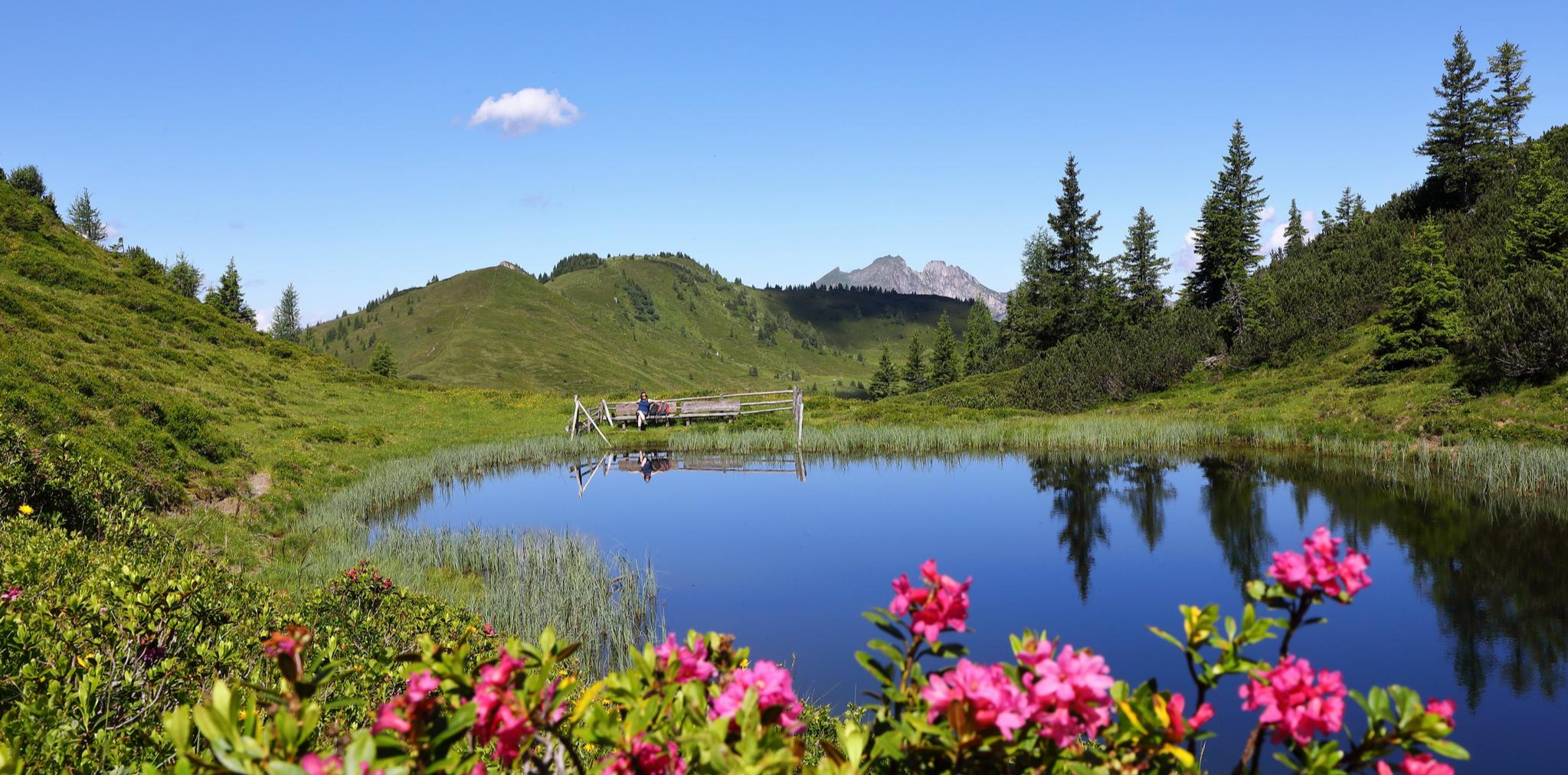
Mountain lakes and natural gems – on a treasure hunt in the Grossarltal
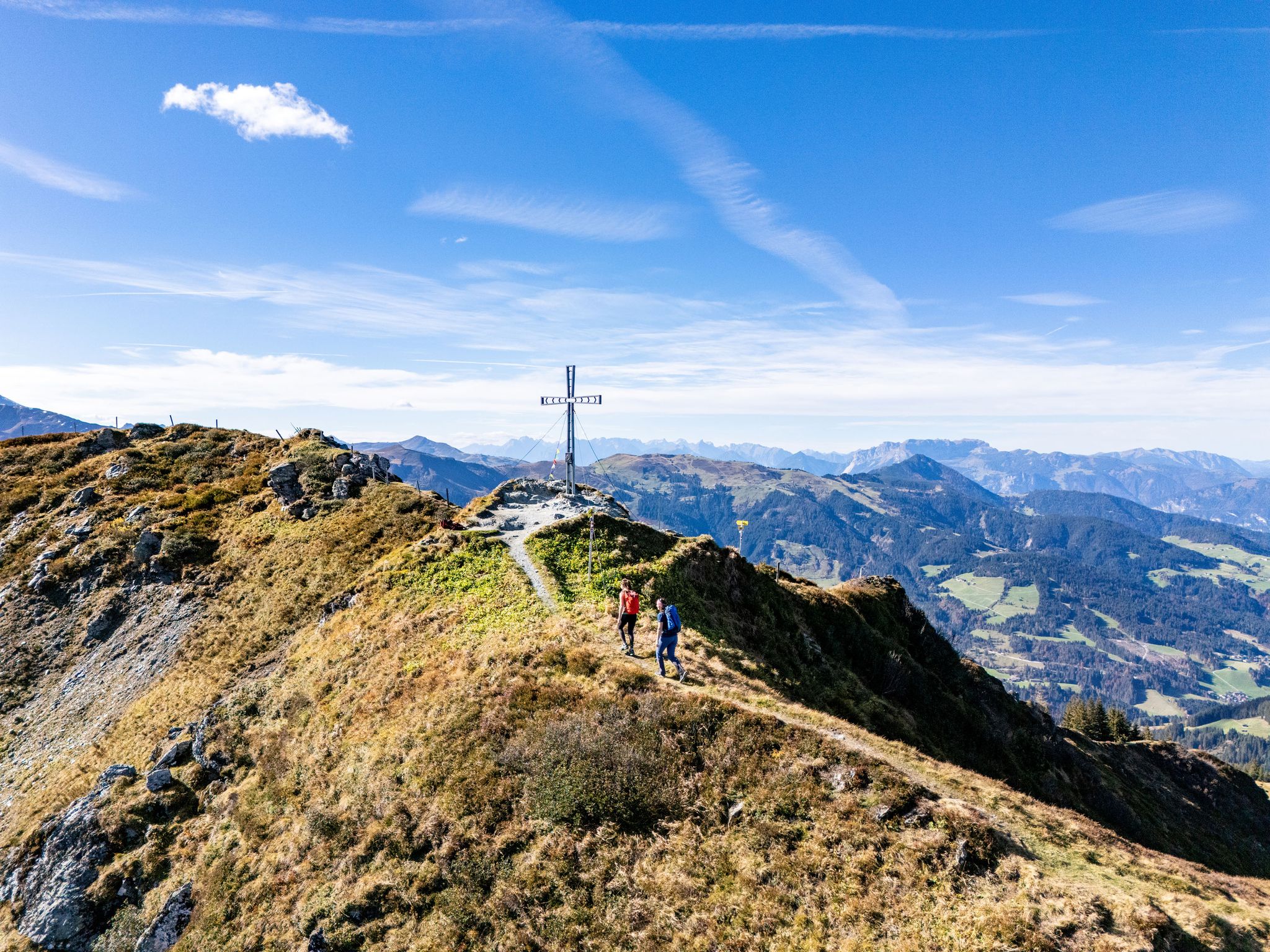
Find your summit happiness in Austria's Hiking Villages
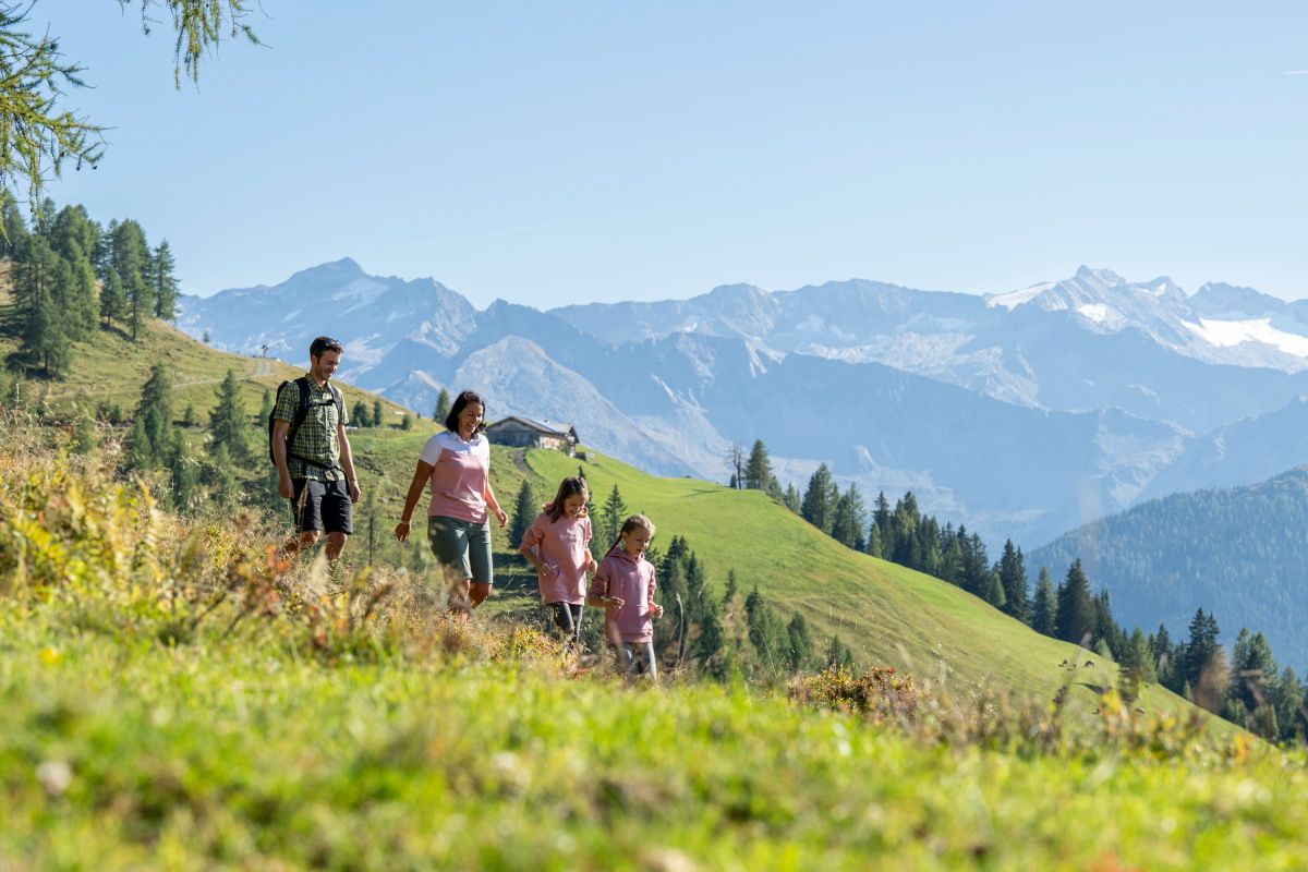
Adventures on the Alm – family hikes in the Grossarltal
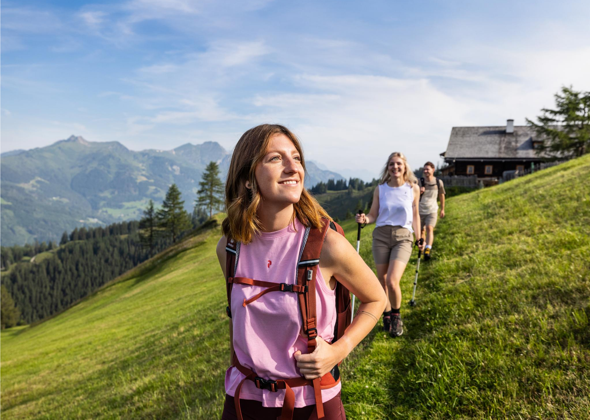
Salzburg’s most beautiful sides – 25 stages on the Salzburger Almenweg
How to go on a sustainable adventure – hiking without a car in Grossarltal
Reflections and proud peaks – 6 Mountain Lake hikes in Großarltal

On a voyage of discovery in Austria’s High Tauern National Park
Hikes for young and old – family Tours in the Grossarl Valley
Hiking in the Grossarl Valley in Austria – the Valley of the Mountain Pastures
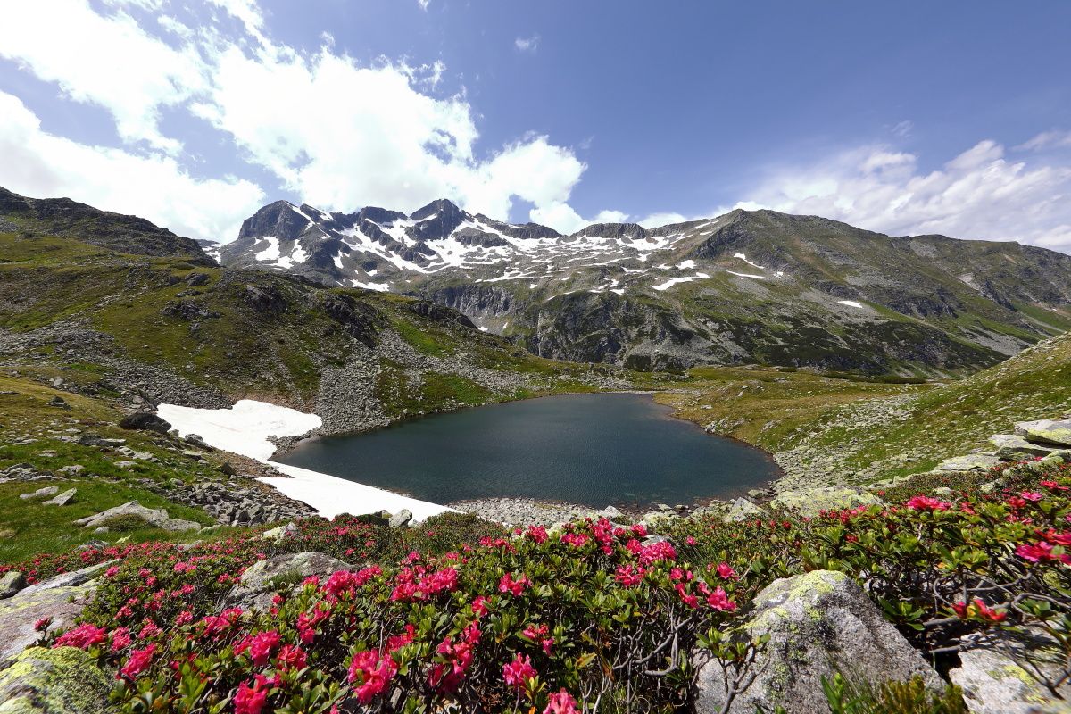
Colorful nature in the „valley of alpine pastures” – hiking in the Grossarltal
Other adventures around Hüttschlag


Tips from the Community

Double Kneipp therapy in winter 😆❄️😂
2
0
Like a picture that used to hang above the sofa, a beautiful landscape, unfortunately our day ended here ❄️🏔️🔨
5
0
The valley is a dream, the lost place old mountain farm has a mysterious air.
6
0
In winter, we don't take the chance to cool down, but we can guess what it's like here in summer. A beautiful area.
3
0
If there's a waterfall nearby, it attracts us, and this time it was a highlight too, absolutely beautiful.
2
0
Parking is free here too, which makes it uncomplicated.
6
0

Like an opal, the clear water of the Ache shimmers here in all possible shades of color. A truly sensual natural spectacle.
1
0
Frequently Asked Questions
How many bus station hiking trails are available around Hüttschlag?
There are 16 dedicated hiking routes accessible directly from bus stations in and around Hüttschlag. These trails cater to various fitness levels, with 1 easy, 12 moderate, and 3 difficult options.
What kind of natural features can I expect to see on these bus-accessible hikes?
Hüttschlag, nestled in the Grossarl Valley and part of the Hohe Tauern National Park, offers stunning alpine scenery. Many bus-accessible routes lead to serene mountain lakes, such as the unique periodic Schödersee, or past impressive waterfalls like the Kreealm Waterfall. You'll also encounter idyllic valley landscapes and towering peaks.
Are there any family-friendly hiking options from Hüttschlag's bus stops?
Yes, Hüttschlag offers several routes suitable for families. While specific 'easy' routes are limited, many moderate trails can be adapted for families, especially those leading to mountain huts where children can enjoy local specialties. The region also features themed trails like the Elemental Nature Trail in Schödertal, which can be accessed via public transport.
Can I bring my dog on hikes starting from bus stations in Hüttschlag?
Generally, dogs are welcome on hiking trails in the Hüttschlag region. However, always keep your dog on a leash, especially in areas with grazing livestock or within the Hohe Tauern National Park boundaries to protect wildlife. Ensure you carry enough water for your dog, as not all routes have frequent water sources.
Are there any circular routes accessible by bus in Hüttschlag?
Many of the routes designed for bus access in Hüttschlag are structured as out-and-back trails or point-to-point hikes that utilize different bus stops for return. For example, the hike Hüttschlag to the Kreealmen offers a clear destination, and you can plan your return journey using the bus schedule. Always check the bus timetable for convenient return options.
What is the best time of year to hike from bus stations in Hüttschlag?
The best time for hiking in Hüttschlag is typically from late spring (May/June) through early autumn (September/October). During these months, trails are generally clear of snow, mountain huts are open, and the weather is most favorable. Early summer brings vibrant alpine flora, while autumn offers stunning fall colors.
Are there any mountain huts or places to eat along the bus-accessible trails?
Yes, the Grossarltal is renowned as the 'Valley of Mountain Huts,' with roughly 40 managed huts. Many bus-accessible routes, such as the hike to the Hubalm or to the Modereggalm, lead directly to these huts, offering opportunities to enjoy traditional local food and refreshments.
What kind of views or viewpoints can I expect on these hikes?
Hikes from Hüttschlag's bus stations often provide panoramic views of the Grossarl Valley and the surrounding Hohe Tauern National Park. You can expect vistas of impressive peaks, lush alpine meadows, and serene mountain lakes. The Fulseck Summit, though potentially requiring a longer hike or cable car access from a nearby point, is known for its magnificent panoramic views.
What makes Hüttschlag a special place for bus-accessible hiking?
Hüttschlag is recognized as a 'Mountaineering Village' and is part of the Hohe Tauern National Park, emphasizing its commitment to sustainable alpinism and pristine nature. Its extensive network of well-signposted trails, combined with reliable public transport, makes it exceptionally easy to explore diverse alpine landscapes, from gentle valley walks to challenging summit tours, all without needing a car.
What do other hikers enjoy most about the bus station hikes in Hüttschlag?
The hiking experiences in Hüttschlag are highly rated by the komoot community, with an average score of 4.49 stars. Hikers frequently praise the stunning natural beauty, the well-maintained trails, and the convenience of accessing diverse routes directly from bus stops. The hospitality of the mountain huts and the peaceful alpine atmosphere are also often highlighted.
Are there any specific landmarks or points of interest along these bus-accessible routes?
Yes, several points of interest can be found near bus-accessible trails. You might encounter historical sites like the Arltörl Chapel or natural formations such as the Draugsteintörl mountain pass. Some routes also lead to picturesque lakes like Tappenkar Lake or Mirror Lake, often with associated huts like Tappenkarsee Hut.
Most popular routes around Hüttschlag
Most popular attractions around Hüttschlag

Get inspired with the komoot mobile app


Explore more
Browse the best Hikes in other regions.
