The best walks and hikes around Hüttschlag
4.5
(4455)
26,864
hikers
61
hikes
Hiking around Hüttschlag offers diverse trails within Austria's Salzburger Land, a region known as "The Valley of Mountain Huts" and part of the Hohe Tauern National Park. The landscape is characterized by a unique valley head, riparian areas, and towering peaks, including the 2,884-meter Keeskogel. Hikers can explore pristine alpine environments, mountain lakes such as Schödersee and Ötzlsee, and paths along the Grossarler Ache river. Approximately 40 traditionally managed alpine huts provide resting points throughout the valley.
Best hiking trails around Hüttschlag
- The most popular hiking route is Hüttschlag: hike to the Schödersee lake, a 7.1 miles (11.4 km) trail that takes 3 hours 35 minutes to complete. This moderate route leads to the unique periodic Schödersee lake.
- Another top favourite among local hikers is To Schödersee in Grossarltal, a moderate 7.1 miles (11.4 km) path. This trail also explores the Grossarl Valley on its way to the Schödersee lake.
- Local hikers also love the Karteistörl - Tappenkarsee - Draugsteintörl - Draugsteinalmen, a 8.3 miles (13.3 km) trail leading through alpine terrain and past mountain lakes, often completed in about 6 hours 44 minutes.
- Hiking around Hüttschlag is defined by alpine valleys, mountain lakes, and numerous traditional mountain huts. The network offers options for various ability levels, from leisurely valley strolls to challenging alpine expeditions.
- The routes in Hüttschlag are highly rated by the komoot community with an average score of 4.5 stars from over 4,300 reviews. More than 26,000 hikers have used komoot to explore Hüttschlag's varied terrain.
Last updated: May 24, 2026
4.8
(85)
460
hikers
11.4km
03:36
430m
430m
Moderate hike. Good fitness required. Easily-accessible paths. Suitable for all skill levels.
4.8
(86)
460
hikers
11.4km
03:33
420m
420m
Moderate hike. Good fitness required. Easily-accessible paths. Suitable for all skill levels.

Sign up for free
4.9
(67)
316
hikers
13.3km
06:44
1,120m
1,120m
Hard hike. Very good fitness required. Mostly accessible paths. Sure-footedness required.
4.8
(70)
293
hikers
5.71km
02:54
470m
470m
Moderate hike. Good fitness required. Mostly accessible paths. Sure-footedness required.
4.8
(50)
239
hikers
9.31km
02:55
360m
360m
Moderate hike. Good fitness required. Easily-accessible paths. Suitable for all skill levels.
Get access to more routes and recommendations from other explorers.
Sign up for free
Already have an account?
Our route recommendations are based on thousands of hikes, rides, and runs completed by other people on komoot.
Start today with a free account
Your next adventure awaits.
Login or Signup
Popular around Hüttschlag
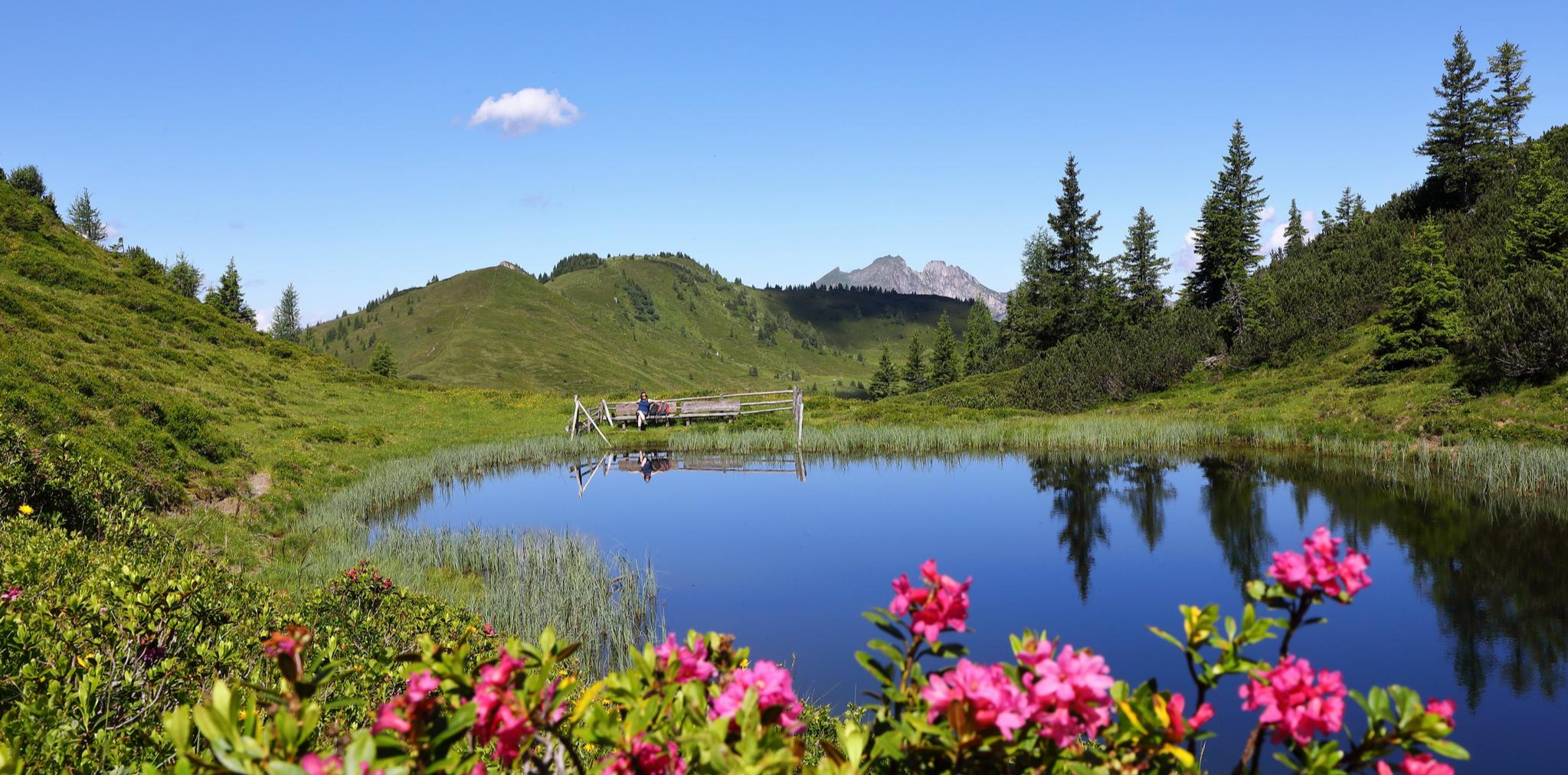
Mountain lakes and natural gems – on a treasure hunt in the Grossarltal
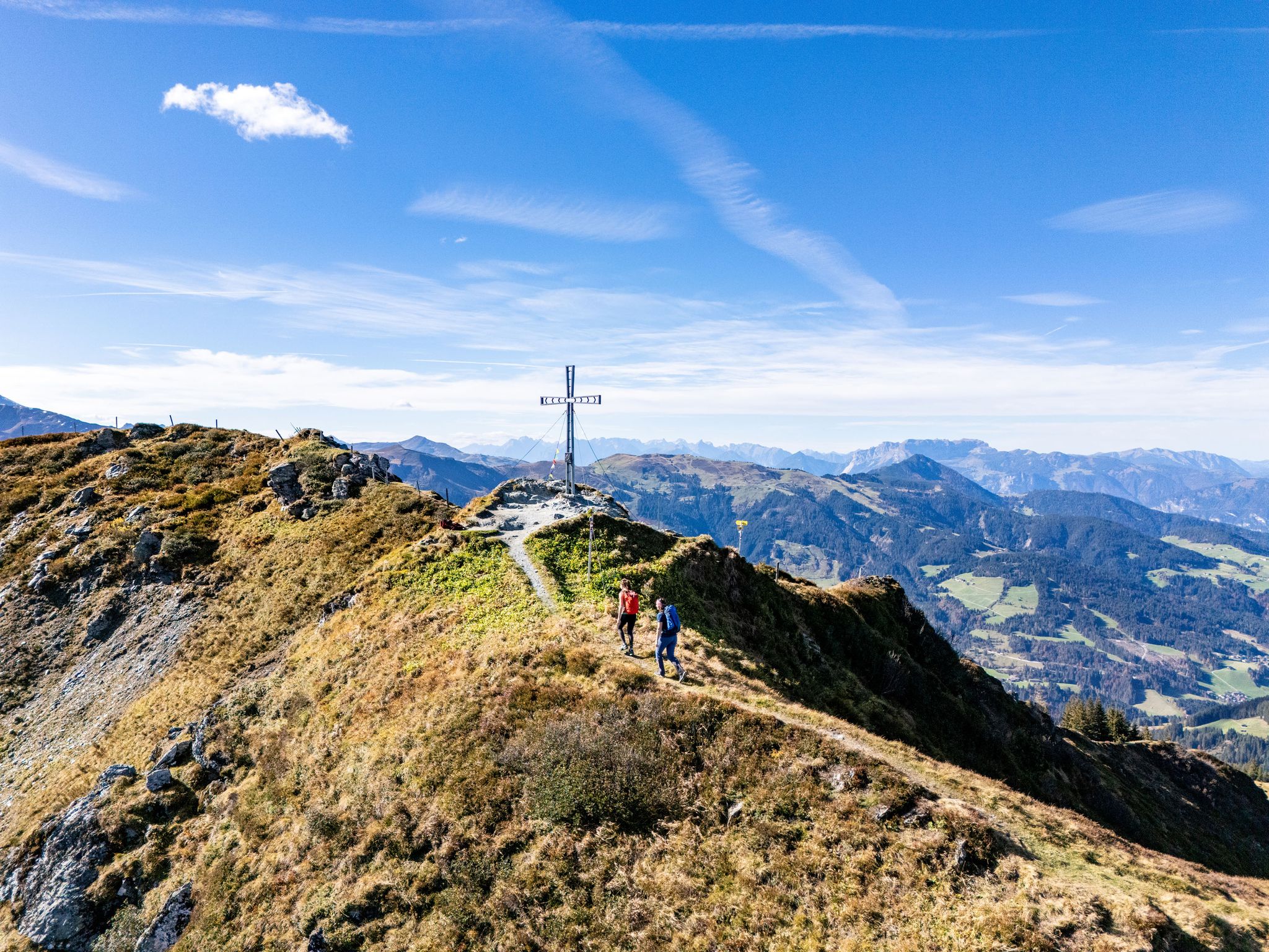
Find your summit happiness in Austria's Hiking Villages
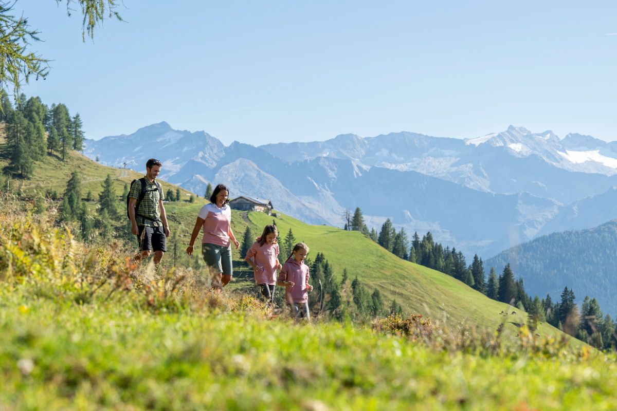
Adventures on the Alm – family hikes in the Grossarltal
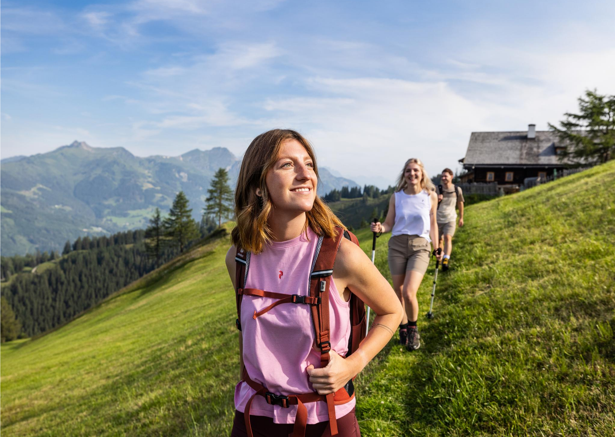
Salzburg’s most beautiful sides – 25 stages on the Salzburger Almenweg
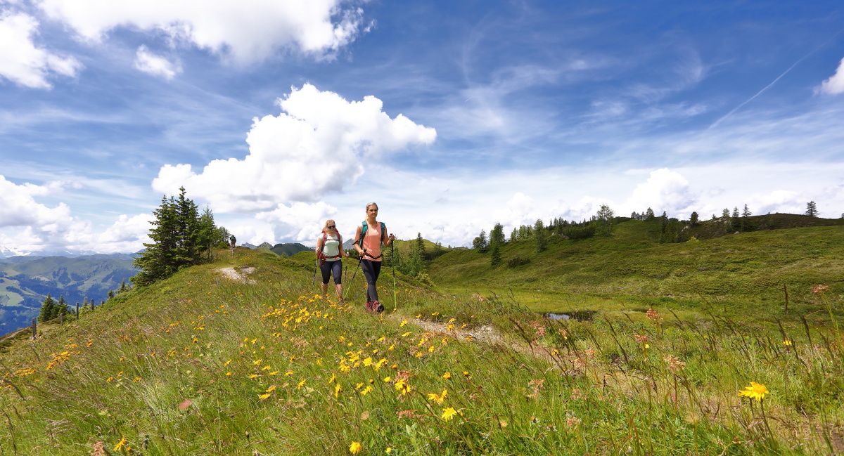
How to go on a sustainable adventure – hiking without a car in Grossarltal
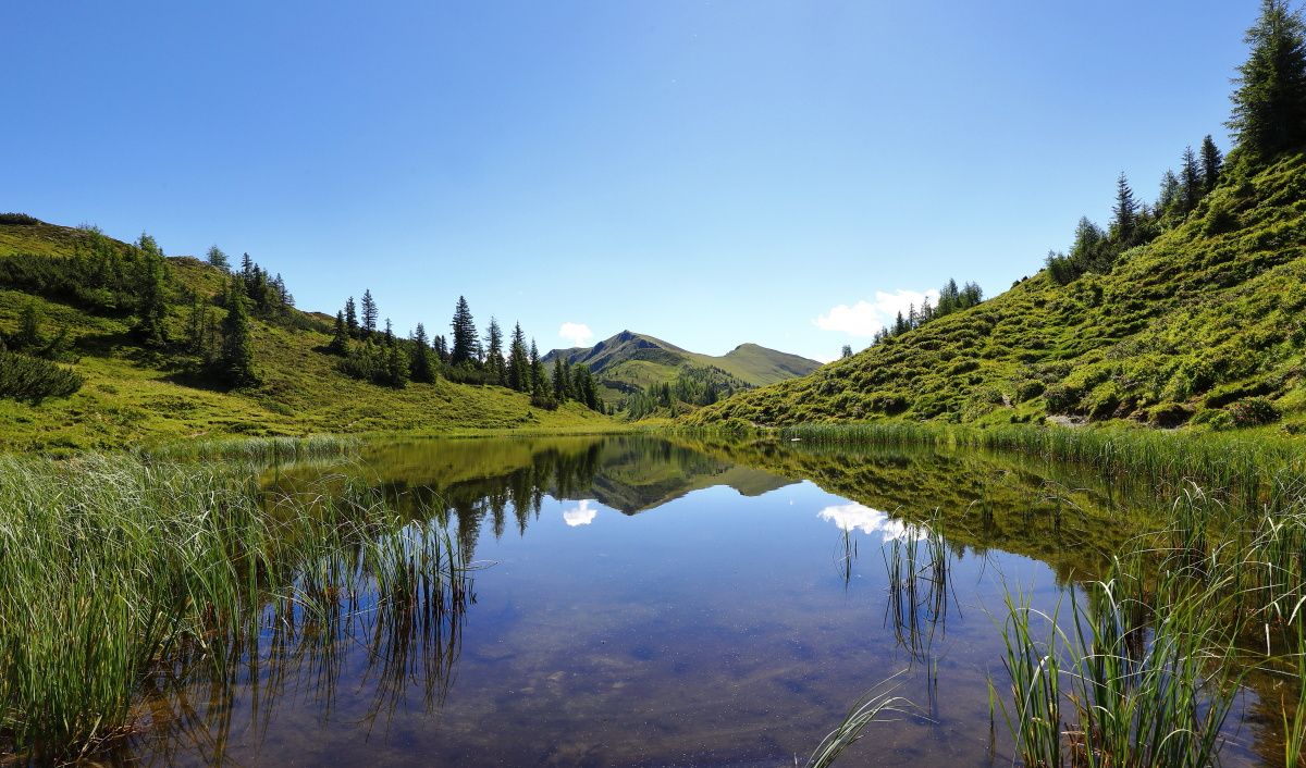
Reflections and proud peaks – 6 Mountain Lake hikes in Großarltal

On a voyage of discovery in Austria’s High Tauern National Park
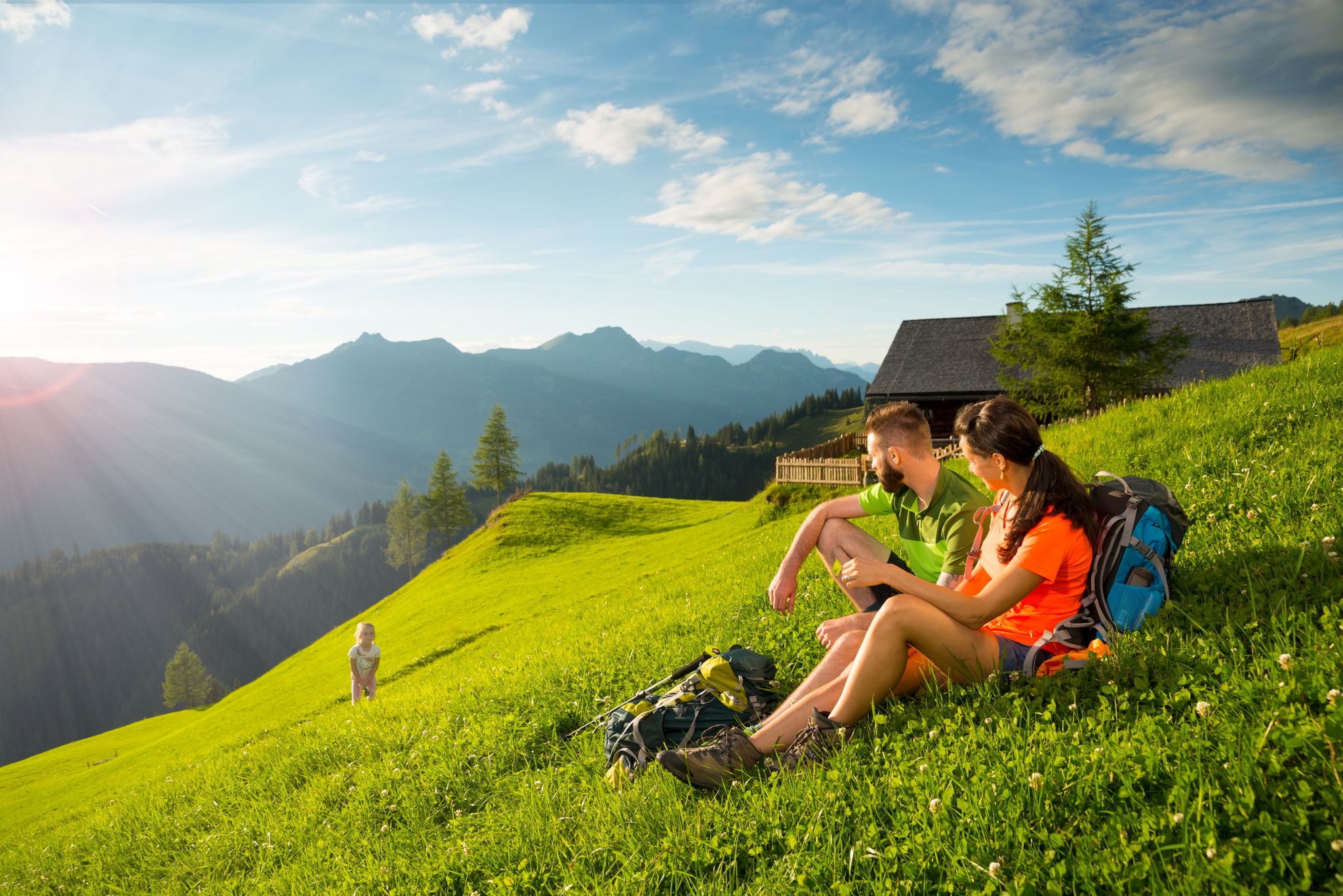
Hikes for young and old – family Tours in the Grossarl Valley
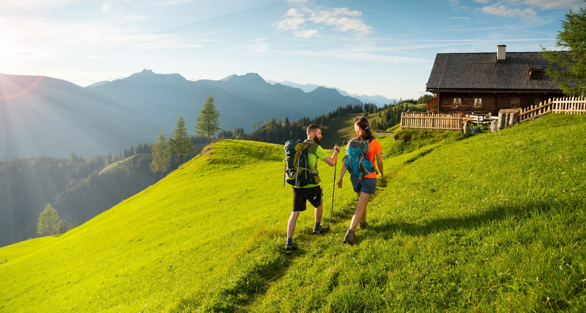
Hiking in the Grossarl Valley in Austria – the Valley of the Mountain Pastures
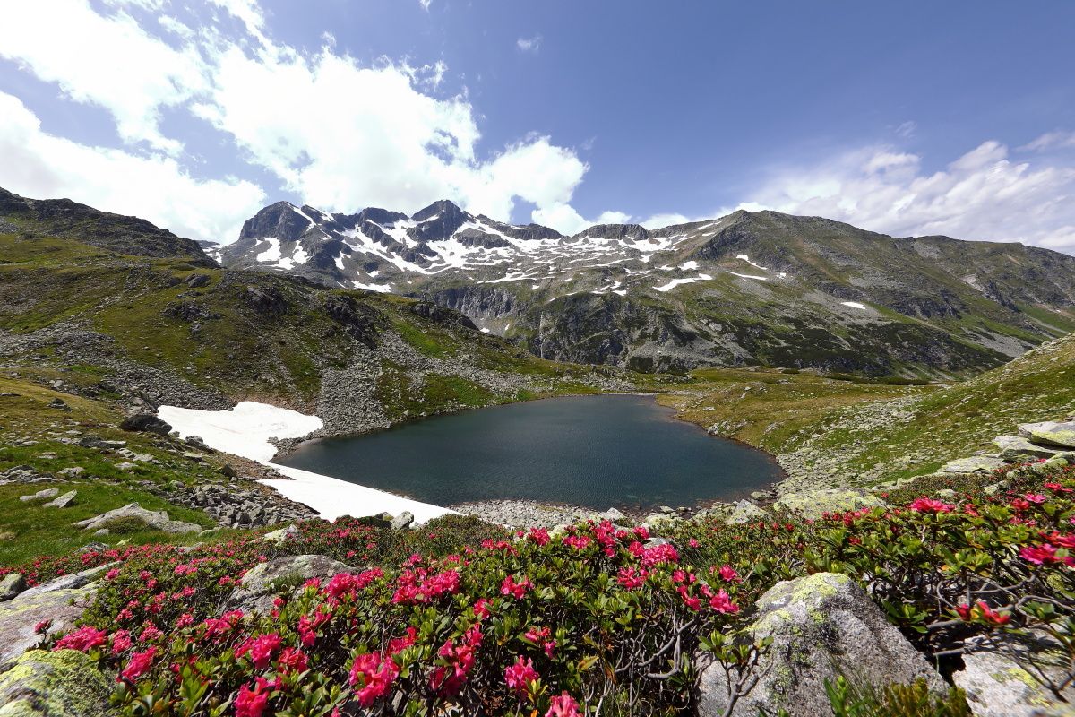
Colorful nature in the „valley of alpine pastures” – hiking in the Grossarltal
Other adventures around Hüttschlag


Tips from the Community

Double Kneipp therapy in winter 😆❄️😂
2
0
Like a picture that used to hang above the sofa, a beautiful landscape, unfortunately our day ended here ❄️🏔️🔨
5
0
We don't take advantage of the opportunity to cool off in winter, but we can imagine what it's like here in summer. A beautiful area.
3
0
If there's a waterfall nearby, it attracts us, and this time it was a highlight too, absolutely beautiful.
2
0

Like an opal, the clear water of the Ache shimmers here in all possible shades of color. A truly sensual natural spectacle.
1
0

Lake Schödersee is a seasonal lake: It dries up in the summer. This year there is very little water there—in 2-3 weeks it will be gone. It will only reappear after heavy rain.
0
0

Idyllic lake, which can be reached on a leisurely walk from Hüttschlag... wonderfully clear water
1
0
Frequently Asked Questions
How many hiking trails are there in Hüttschlag?
Hüttschlag offers a wide variety of hiking opportunities, with over 60 routes available. These range from leisurely valley strolls to challenging alpine expeditions, catering to different fitness levels.
What are the different difficulty levels for hiking in Hüttschlag?
The trails in Hüttschlag cater to various abilities. You'll find a few easy routes, over 30 moderate trails, and more than 25 difficult hikes, ensuring options for beginners and experienced mountaineers alike.
What is the best time of year to hike in Hüttschlag?
The summer and early autumn months are generally ideal for hiking in Hüttschlag, offering pleasant temperatures and full access to the alpine trails and mountain huts. However, the region also transforms into a paradise for winter activities like snowshoeing and ski touring.
Are there any unique natural features or landmarks to see while hiking in Hüttschlag?
Absolutely. Hüttschlag is part of the Hohe Tauern National Park, offering stunning natural beauty. Highlights include the unique periodic Schödersee, which fills with water during snowmelt, and the tranquil Ötzlsee. The valley is also framed by impressive peaks like the 2,884-meter Keeskogel, and you can explore paths along the Grossarler Ache river.
What kind of mountain huts can I expect to find along the trails?
Hüttschlag is nestled in the 'Valley of Mountain Huts' (Tal der Almen). You'll find approximately 40 traditionally managed alpine huts scattered throughout the valley. These huts are perfect for a rest stop, offering warm hospitality and homemade specialties. For example, the route Hüttschlag to the Kreealmen leads to some of these inviting spots.
Are there family-friendly hiking options in Hüttschlag?
Yes, Hüttschlag offers several family-friendly walks, particularly along the valley floor and on some of the easier routes. The Elemental Nature Trail in Schödertal and the Chapel Hiking Path are good options for families, providing engaging experiences for all ages.
Can I bring my dog on the hiking trails in Hüttschlag?
Many trails in Hüttschlag are dog-friendly, but it's always recommended to keep your dog on a leash, especially in areas with livestock or within the Hohe Tauern National Park to protect wildlife. Please check specific trail regulations before you go.
Are there any circular hiking routes in Hüttschlag?
Yes, many of the hiking routes in Hüttschlag are designed as circular walks, allowing you to start and end at the same point. This makes planning easier and offers diverse scenery throughout your journey.
What are some easy hiking routes for beginners in Hüttschlag?
For beginners, there are several easy routes, often found along the valley floor or leading to lower-lying huts. These trails typically have less elevation gain and are well-maintained, providing a gentle introduction to hiking in the region.
Is public transport available to access trailheads in Hüttschlag?
Public transport options are available within the Grossarl Valley, which can help you reach various starting points for hikes. It's advisable to check local bus schedules for the most up-to-date information on routes and timings to plan your access to trailheads.
Where can I park when hiking in Hüttschlag?
Designated parking areas are typically available near popular trailheads and in the village center of Hüttschlag. Some mountain huts also offer parking for their guests. Look for signs indicating hiker parking at the start of your chosen route.
What kind of amenities or refreshments are available along the hiking trails?
The numerous mountain huts (Almen) are the primary source of refreshments along the trails, offering traditional food and drinks. In the village of Hüttschlag, you'll find additional amenities like restaurants and accommodation options.
What do other hikers enjoy most about hiking in Hüttschlag?
The hiking routes in Hüttschlag are highly rated by the komoot community, with an average score of 4.5 stars from over 4,300 reviews. Hikers frequently praise the stunning alpine scenery, the well-maintained trails, and the welcoming atmosphere of the traditional mountain huts. The unique natural features like the Schödersee also receive high acclaim.
Most popular routes around Hüttschlag
Most popular attractions around Hüttschlag

Get inspired with the komoot mobile app


Explore more
Browse the best Hikes in other regions.
