Easy hikes and walks around Hüttschlag
4.5
(4811)
28,267
hikers
702
hikes
Easy hiking trails around Hüttschlag are found within the picturesque Grossarl Valley, a designated "mountaineering village" in Salzburger Land. The region is characterized by stunning alpine landscapes, with a significant portion integrated into the Hohe Tauern National Park. Hikers can explore diverse terrain, including paths along the Grossarler Ache river, unique riparian landscapes, and trails leading to mountain lakes like Ötzlsee. This area offers a preserved natural environment with a network of well-signposted routes.
Best easy hiking trails around Hüttschlag
…Last updated: October 6, 2026
4.7
(162)
1,065
hikers
4.12km
01:05
40m
40m
Easy hike. Great for any fitness level. Easily-accessible paths. Suitable for all skill levels.
4.7
(78)
407
hikers
5.54km
01:31
80m
80m
Easy hike. Great for any fitness level. Easily-accessible paths. Suitable for all skill levels.

4.6
(16)
153
hikers
4.32km
01:14
100m
100m
Easy hike. Great for any fitness level. Easily-accessible paths. Suitable for all skill levels.
2.0
(1)
8
hikers
3.49km
01:06
140m
140m
Easy hike. Great for any fitness level. Easily-accessible paths. Suitable for all skill levels.
4.5
(2)
10
hikers
6.17km
01:44
130m
130m
Easy hike. Great for any fitness level. Easily-accessible paths. Suitable for all skill levels.
Get access to more routes and recommendations from other explorers.
Already have an account?
Our route recommendations are based on thousands of hikes, rides, and runs completed by other people on komoot.
Start today with a free account
Your next adventure awaits.
Popular around Hüttschlag
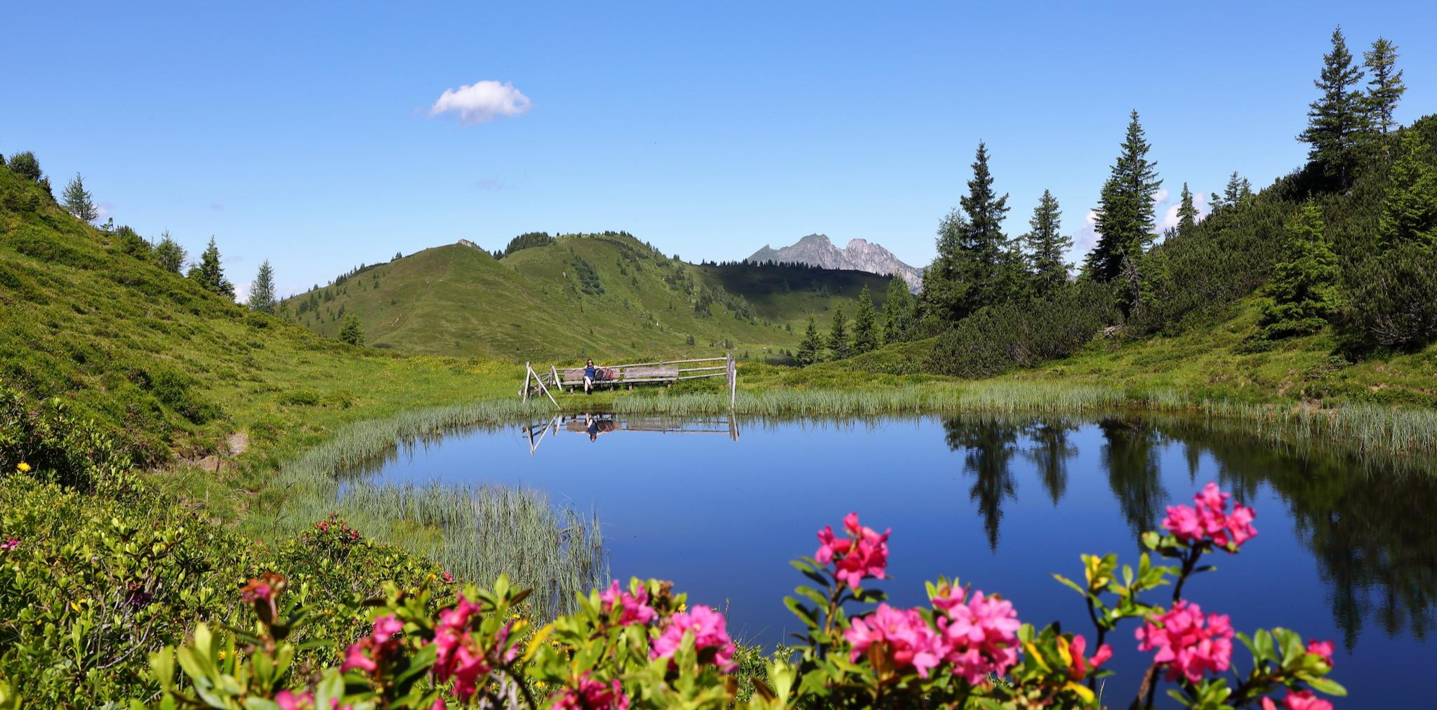
Mountain lakes and natural gems – on a treasure hunt in the Grossarltal
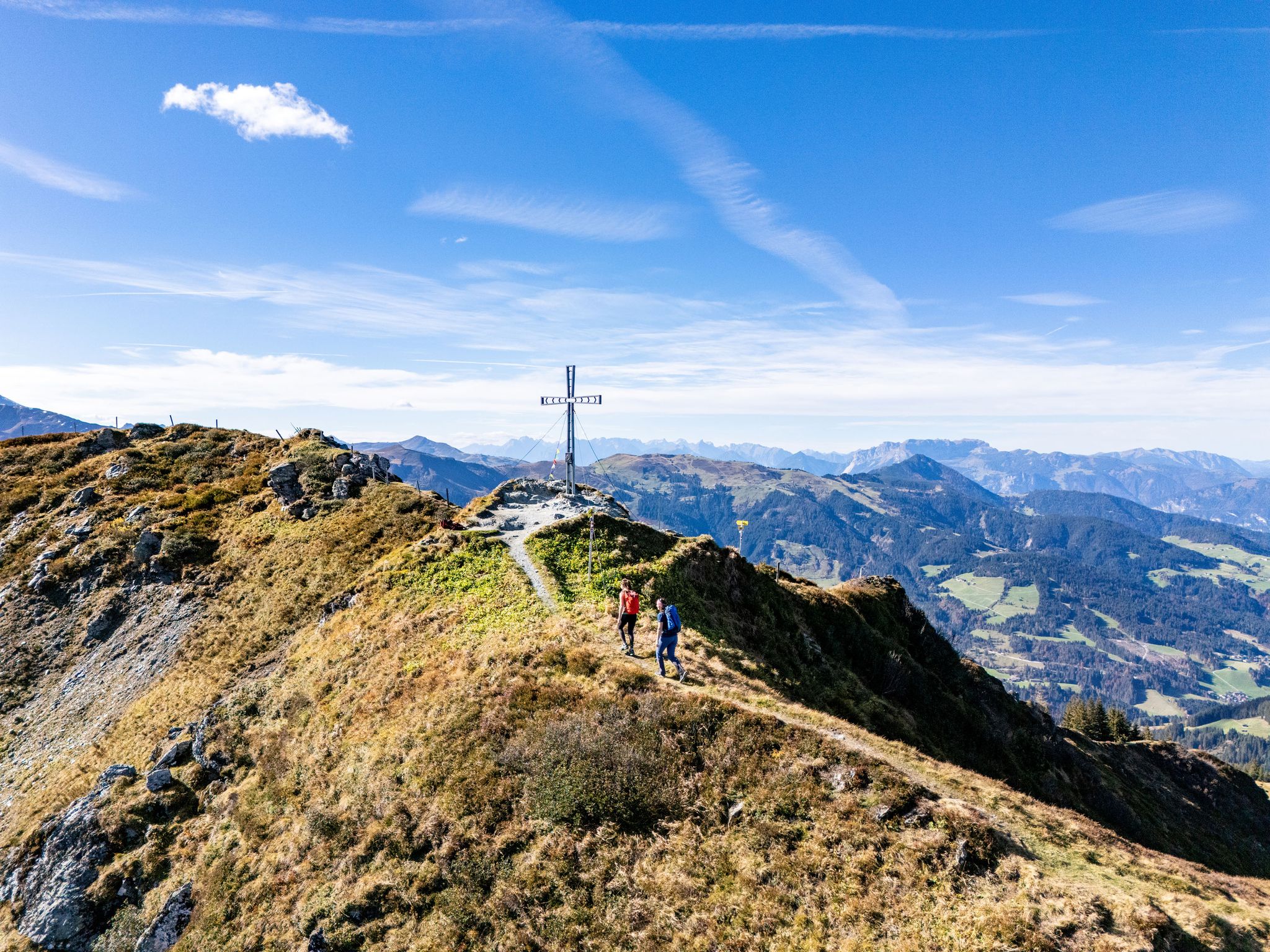
Find your summit happiness in Austria's Hiking Villages
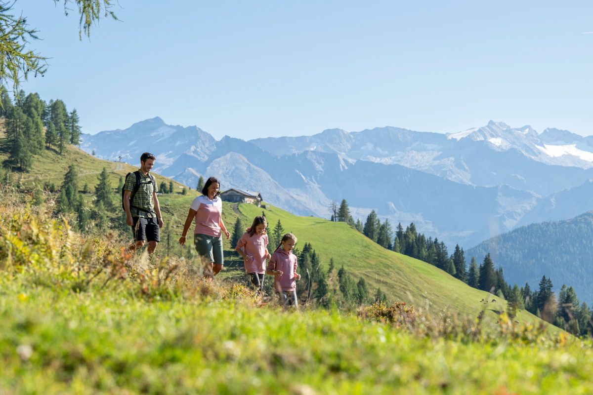
Adventures on the Alm – family hikes in the Grossarltal
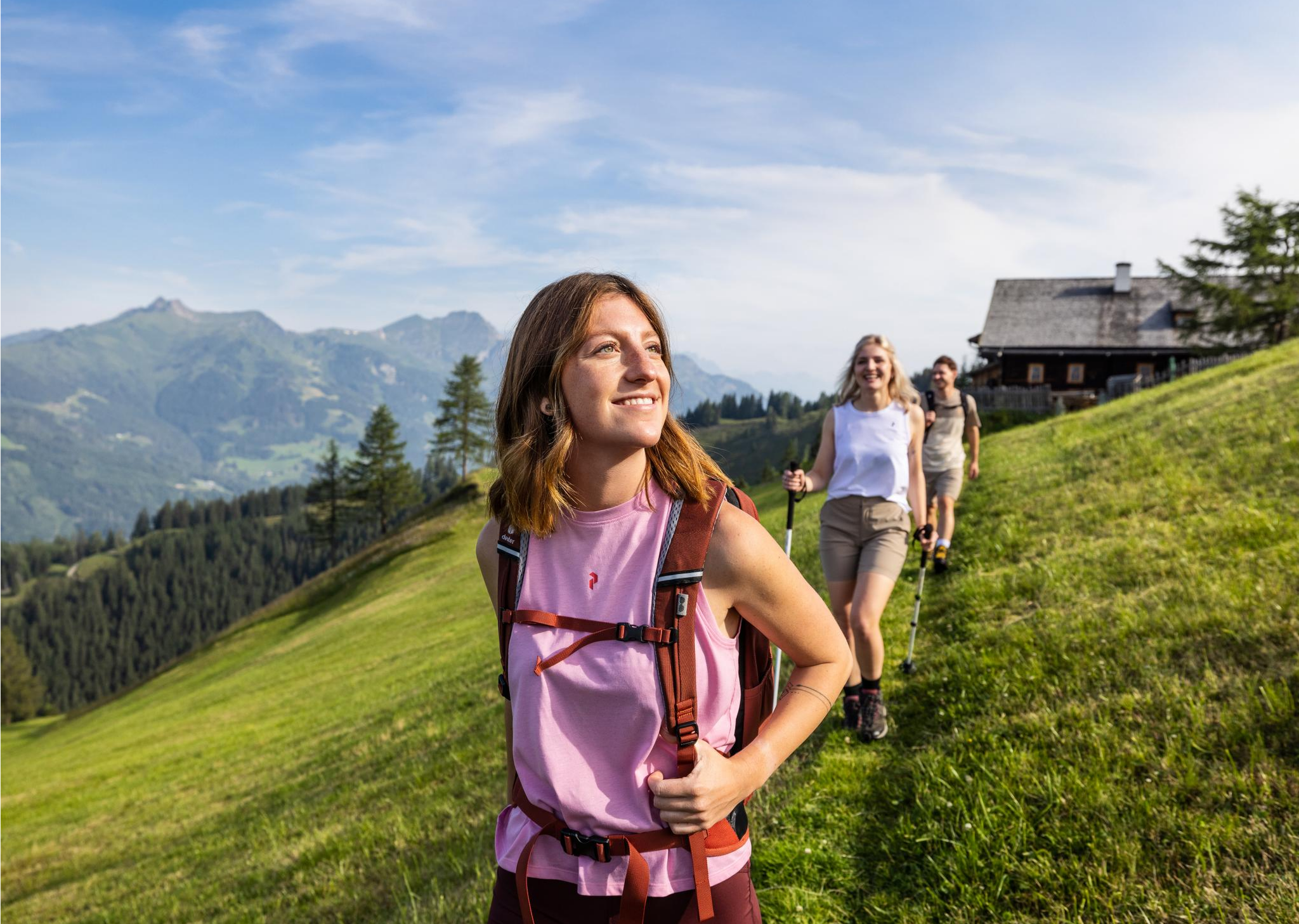
Salzburg’s most beautiful sides – 25 stages on the Salzburger Almenweg
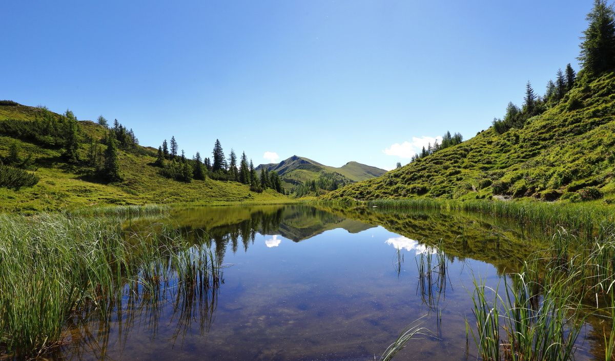
Reflections and proud peaks – 6 Mountain Lake hikes in Großarltal

On a voyage of discovery in Austria’s High Tauern National Park
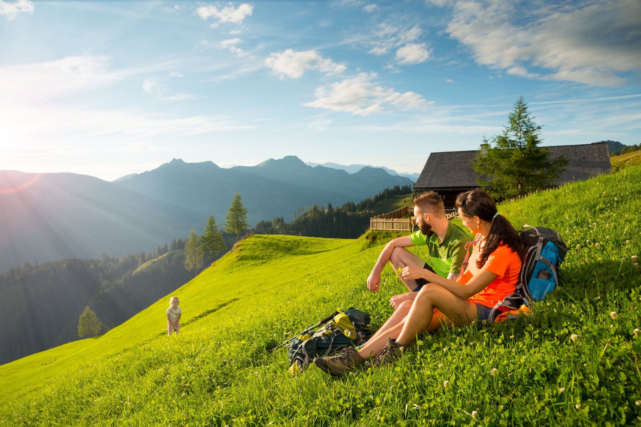
Hikes for young and old – family Tours in the Grossarl Valley
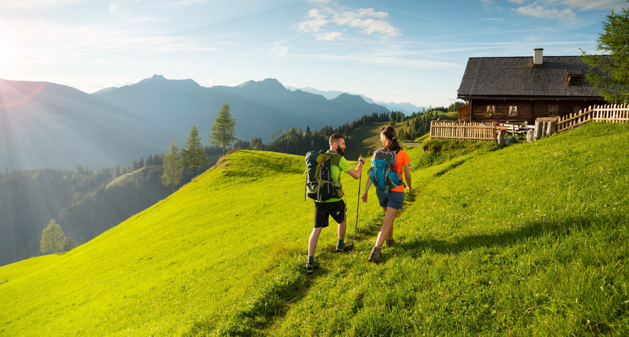
Hiking in the Grossarl Valley in Austria – the Valley of the Mountain Pastures
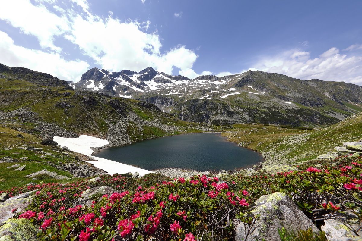
Colorful nature in the „valley of alpine pastures” – hiking in the Grossarltal
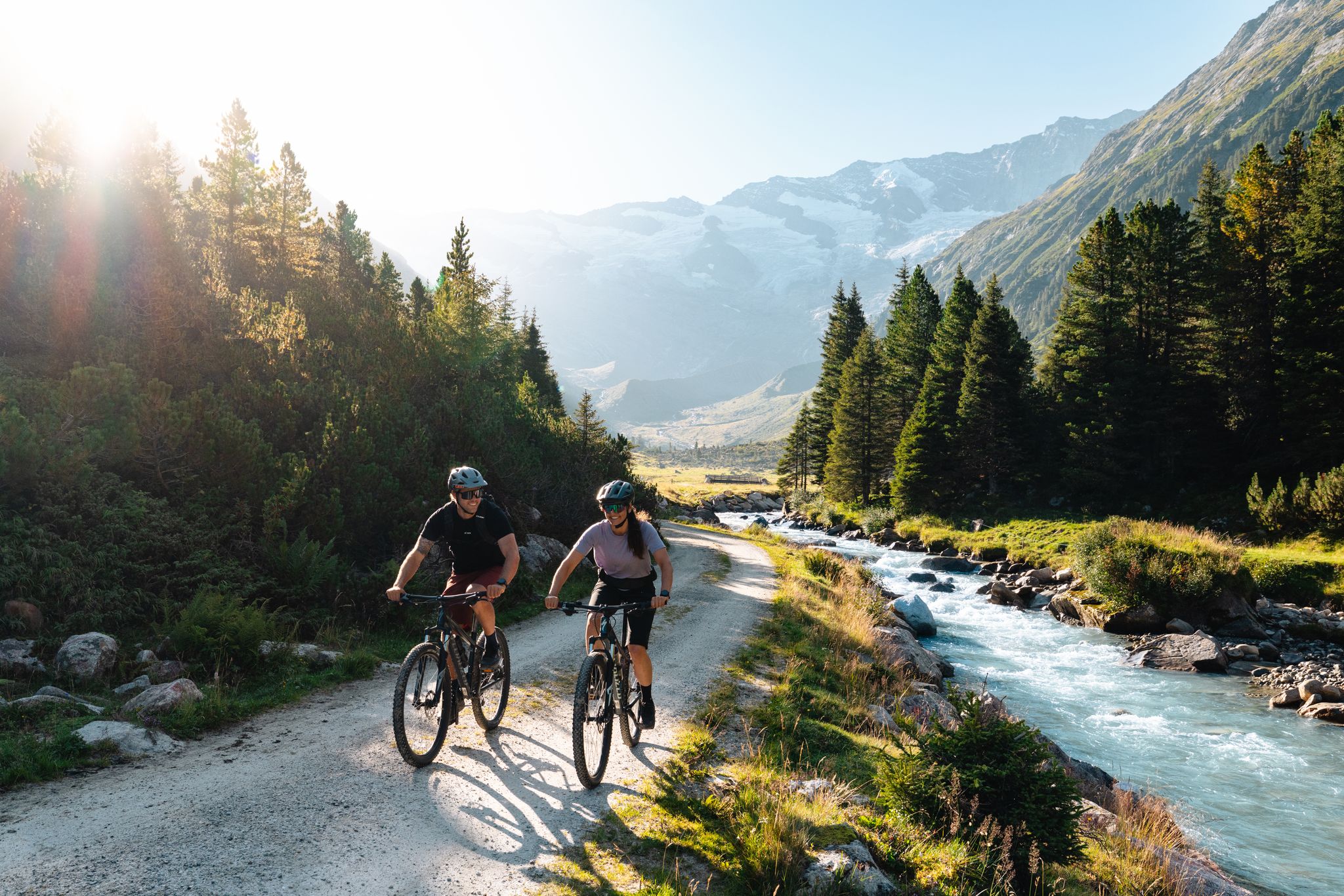
14 stages through the national park valleys – Hohe Tauern Bike Trail
Other adventures around Hüttschlag


Tips from the Community

Austria's highest dam (625 m long, 200 m high) is located at an altitude of 1900m.
0
0
Certainly a worthwhile matter to point out the dangers of such millennium projects.
0
0
An absolute highlight on the edge of the route are the different formations of the rock face.
0
0

Double Kneipp therapy in winter 😆❄️😂
2
0
Like a picture that used to hang above the sofa, a beautiful landscape, unfortunately our day ended here ❄️🏔️🔨
5
0
We were there in winter and there was almost nothing to see of the lake, a small disappointment on our tour. But the landscape ❤️🇦🇹👍. There is also a stamp here.
5
0
In winter, we don't take the chance to cool down, but we can guess what it's like here in summer. A beautiful area.
3
0
Frequently Asked Questions
How many easy hiking trails are available around Hüttschlag?
Hüttschlag offers a wide selection of easy hiking trails, with over 180 routes specifically categorized as easy. In total, the region features more than 700 hiking tours, catering to various skill levels within its stunning alpine landscapes.
What kind of terrain can I expect on easy hikes in Hüttschlag?
Easy hikes in Hüttschlag typically feature well-maintained paths, often winding along the Grossarler Ache river or through gentle alpine pastures. While the region is mountainous, these trails are designed with minimal elevation gain, making them accessible. You'll encounter diverse riparian landscapes and paths leading to beautiful mountain lakes.
Are there any easy circular hiking routes in Hüttschlag?
Yes, Hüttschlag has several easy circular routes. One popular option is the Bridge over the Grossarler Ache – Ötzlsee loop from Haseckkopf, which is 3.3 miles (5.3 km) long and offers views of the river and leads towards Ötzlsee. Another is the Kölnbreinsperre Dam – View of the Ankogel Group loop from Kölnbrein Dam, providing scenic views of the dam and distant mountains.
What natural features or attractions can I see on an easy hike in Hüttschlag?
Many easy hikes in Hüttschlag lead to beautiful natural features. You can explore trails along the Grossarler Ache river, discover unique riparian landscapes, and visit mountain lakes like Ötzlsee. The Himmelwand Hut – Tischler Waterfall loop from Katastralgemeinde Remsach, for example, takes you past the scenic Tischler Waterfall.
Are there any family-friendly easy hikes in Hüttschlag?
Hüttschlag is very family-friendly, offering many easy trails suitable for all ages. The paths along the Grossarler Ache river are generally gentle, and routes leading to mountain lakes like Ötzlsee are often manageable for families. The region's designation as a 'mountaineering village' emphasizes its commitment to accessible outdoor experiences.
Can I bring my dog on easy hiking trails in Hüttschlag?
Yes, many easy hiking trails in Hüttschlag are dog-friendly. The region's natural environment and wide paths make it suitable for walking with pets. However, always keep your dog on a leash, especially in protected areas like the Hohe Tauern National Park, and be mindful of grazing livestock on alpine pastures.
What is the best time of year for easy hiking in Hüttschlag?
The best time for easy hiking in Hüttschlag is typically from late spring to early autumn (May to October). During these months, the weather is generally pleasant, trails are clear of snow, and the alpine flora is vibrant. The unique periodic mountain lake Schödersee fills with water during snowmelt and heavy rainfall, offering a special sight.
Are there places to eat or rest along the easy hiking routes?
Yes, the Grossarl Valley, known as 'The Valley of Mountain Huts,' boasts approximately 40 managed alpine huts (Almen). Many easy hiking routes will lead you past or near these huts, where you can stop for homemade specialties and warm hospitality, providing authentic resting places with regional products.
What do other hikers enjoy most about easy hiking in Hüttschlag?
The easy hiking trails in Hüttschlag are highly rated by the komoot community, with an average score of 4.5 stars from over 4,300 reviews. Hikers often praise the stunning alpine landscapes, the well-signposted routes, and the preserved natural environment within the Hohe Tauern National Park. The accessibility of trails leading to beautiful lakes and waterfalls is also frequently highlighted.
Are there any easy trails that offer views of the Kölnbreinsperre Dam?
Yes, an easy trail that provides scenic views of the impressive Kölnbreinsperre Dam is the Kölnbreinsperre Dam – Old Quarry loop from Kölnbrein Dam. This 2.7-mile (4.4 km) route also offers glimpses of the distant Ankogel Group, making it a rewarding experience for those seeking panoramic vistas.
Are there any short, easy hikes suitable for beginners in Hüttschlag?
For beginners or those looking for a shorter walk, the Kölnbrein Dam – View of the Ankogel Group loop from Kölnbrein Dam is an excellent choice. This route is only 1.5 miles (2.4 km) long, with minimal elevation gain, making it very accessible while still offering beautiful views.
Most popular routes around Hüttschlag
Most popular attractions around Hüttschlag

Get inspired with the komoot mobile app


Explore more
Browse the best Hikes in other regions.
