The best hikes from bus stations around Taunusstein
4.5
(2762)
14,339
hikers
252
hikes
Bus station hiking trails around Taunusstein offer access to the diverse landscapes of the Taunus Mountains and the Rheingau region. The area is characterized by extensive forests, deeply carved valleys like the Wiesbachtal and Aarbach, and varied elevations. Hikers can explore a network of paths that traverse wooded hills and open terrain, providing a range of experiences from gentle valley walks to more challenging ascents. The region's natural features include numerous streams and scenic viewpoints over the surrounding countryside.
Best…
Last updated: September 30, 2026
4.8
(66)
195
hikers
Moderate hike. Good fitness required. Easily-accessible paths. Suitable for all skill levels.
4.5
(42)
131
hikers
10.2km
02:55
240m
240m
Moderate hike. Good fitness required. Easily-accessible paths. Suitable for all skill levels.

3.9
(21)
74
hikers
10.5km
02:59
240m
240m
Moderate hike. Good fitness required. Easily-accessible paths. Suitable for all skill levels.
4.3
(23)
68
hikers
3.97km
01:05
60m
60m
Easy hike. Great for any fitness level. Easily-accessible paths. Suitable for all skill levels.
4.5
(20)
67
hikers
9.98km
02:42
130m
130m
Moderate hike. Good fitness required. Easily-accessible paths. Suitable for all skill levels.
Get access to more routes and recommendations from other explorers.
Already have an account?
Our route recommendations are based on thousands of hikes, rides, and runs completed by other people on komoot.
Start today with a free account
Your next adventure awaits.
Other adventures around Taunusstein


Tips from the Community


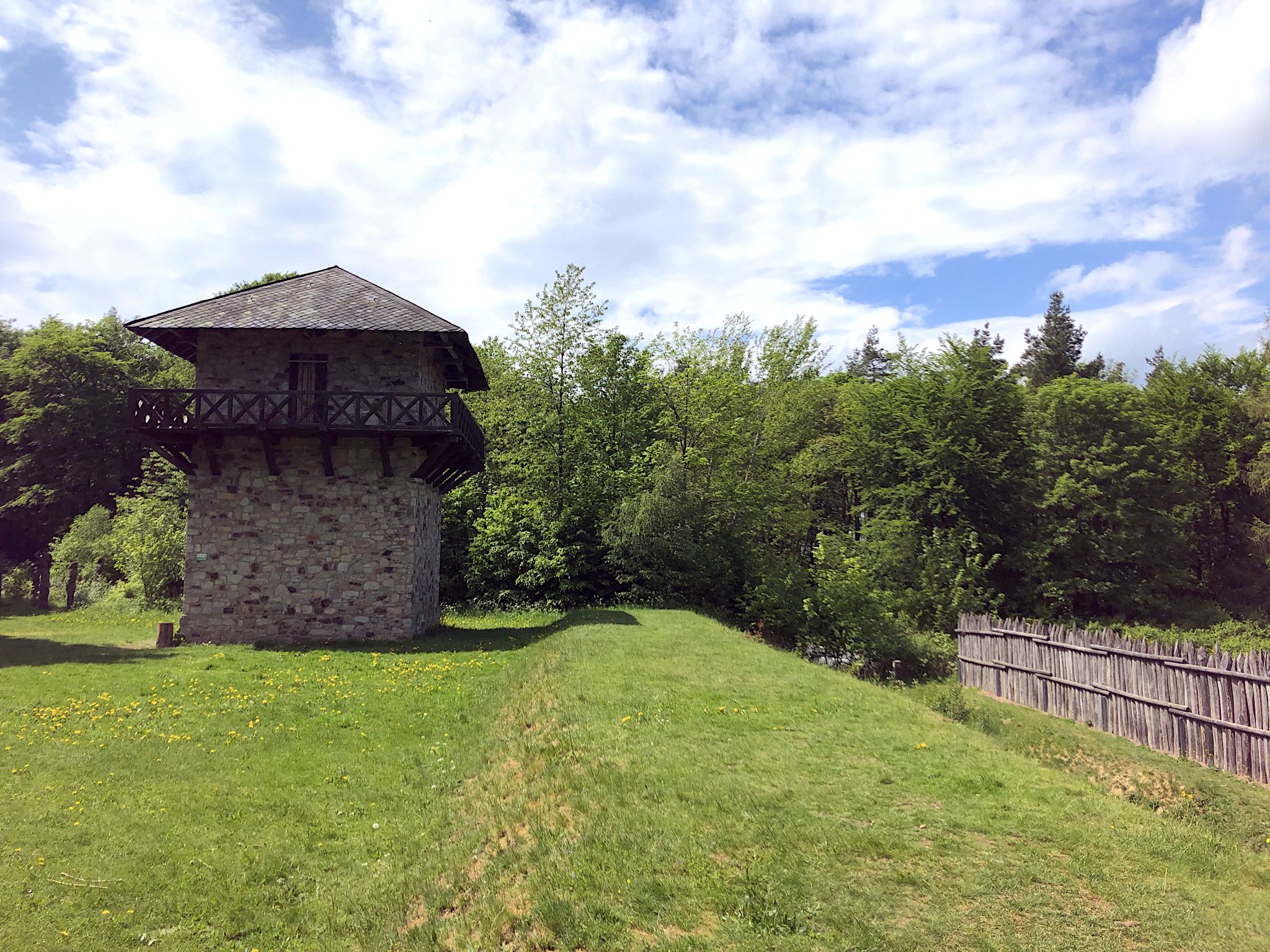
History is always exciting!
0
0

Status 2026: apart from occasional windthrow, it is again reasonably passable and rideable, if you love windthrow (in summer) nettles and blackberries. Within the trail, the connection is not always obvious. Bloody passages are to be expected in part.
0
0

Beautiful, idyllic pond. A peaceful place to observe the fish. ...
0
0

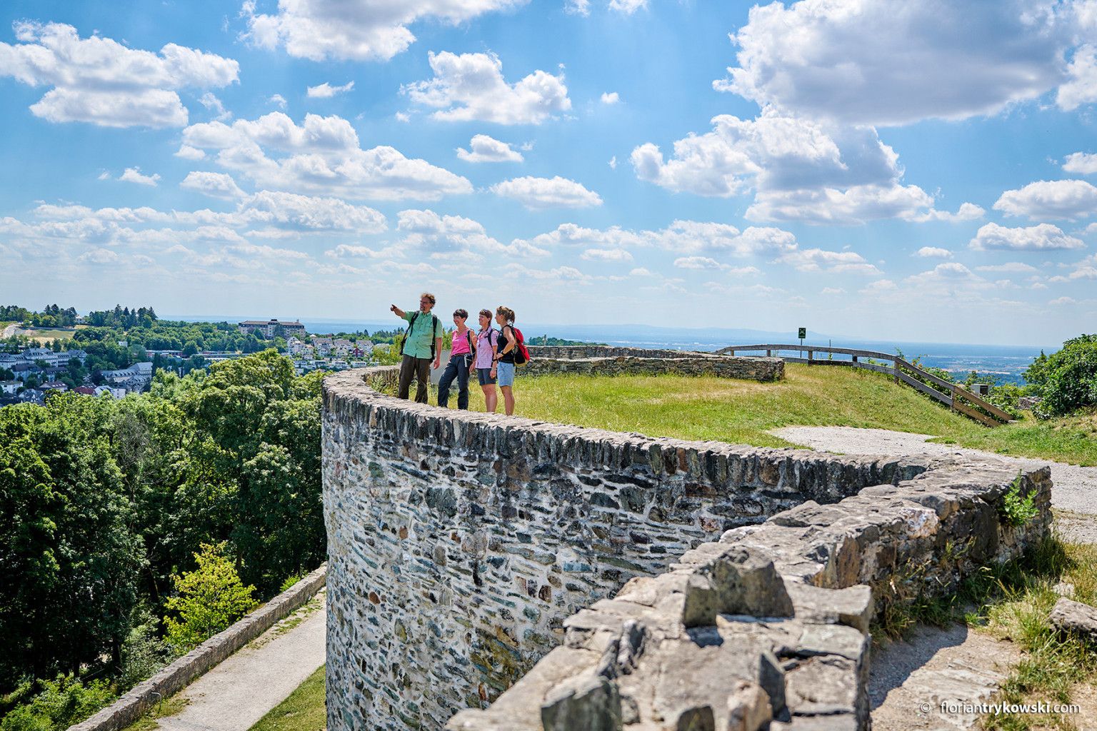
High above Niederlibbach, you can see the village and the Aubach valley below. There's also a small glimpse of the nearby Taunus Mountains to the west (toward Strinz-Margarethä).
0
0

Not far from the Platte hunting lodge, the Herzogshütte is an inviting picnic spot. It is located at an altitude of 500 meters.
3
1

History. Unfortunately, nothing runs there anymore.
0
1

With wonderfully soft ground in a small pine forest
0
0
Frequently Asked Questions
How many bus station hiking trails are available in Taunusstein?
There are over 230 hiking routes around Taunusstein that are easily accessible from bus stations. These trails offer a wide range of experiences, from leisurely walks to more challenging excursions through the Taunus Mountains.
What do other hikers say about the bus station trails in Taunusstein?
The komoot community highly rates the hiking experiences around Taunusstein, with an average score of 4.5 out of 5 stars from over 2,100 ratings. Hikers often praise the diverse landscapes, well-maintained paths, and the convenience of public transport access to these beautiful routes.
Are there easy bus-accessible hikes for beginners in Taunusstein?
Yes, Taunusstein offers many easy routes perfect for beginners, with over 130 trails classified as easy. A great option is the Eiserne Hand station – Waldgeist Zur Eisernen Hand loop from Taunusstein, which is a relatively flat and short walk, ideal for a relaxed introduction to the area's natural beauty.
What is the best time of year to hike near Taunusstein's bus stations?
Taunusstein is beautiful year-round, but spring and autumn are particularly recommended. In spring, you'll witness wildflowers blooming, while autumn transforms the landscape with stunning golden-red foliage. The extensive Taunus forests also provide plenty of shade, making them enjoyable on sunny summer days.
Are there family-friendly hiking routes accessible by bus in Taunusstein?
Absolutely! Many trails are suitable for families. The region research highlights the circular trail around the Weilburger Bach as particularly recommended for families due to its flat terrain, small playgrounds, and picnic spots. For a specific route, consider the easy Bettelmannsbaum – Eschbach Bridge in the Taunus loop from Taunusstein.
Can I bring my dog on these bus-accessible hiking trails?
Yes, most hiking trails in the Taunus region are dog-friendly. It's always a good idea to keep your dog on a leash, especially in forested areas or near wildlife. Remember to bring water for your pet and dispose of waste properly.
What kind of natural features and viewpoints can I expect on these trails?
The bus-accessible trails around Taunusstein offer a variety of natural features. You can explore wild forests, deeply carved valleys like the Wiesbachtal and Aarbach, and high mountain ridges. Many routes provide breathtaking views over the Rhine Valley, and areas like the Hohe Wurzel offer wide vistas towards both the Taunus and Rheinhessen.
Are there any historical landmarks or attractions along the bus station hiking routes?
Yes, the region is rich in history. Hiking routes often pass by historic sites such as the Old School or the Hohenbuchau moated castle. The Via Mattiacorum, a 28-kilometer route, connects Idstein, Taunusstein, and Wiesbaden, exploring Roman history. You might also encounter highlights like the Platte Hunting Lodge.
Are there any circular hiking routes that start and end at a bus station?
Yes, many of the bus-accessible trails are designed as circular routes, allowing you to return to your starting point without needing additional transport. An example of a moderate circular route is the Platte Hunting Lodge – Platte Hunting Lodge loop from Jagdschloss Platte.
Are there any lakes or castles near the bus-accessible hiking trails in Taunusstein?
Yes, the region features both beautiful lakes and historic castles. You can find highlights such as Theißtal Lake or Wisper Lake. For castles, explore sites like Eltville Castle or Frauenstein Castle, which are often accessible or visible from various hiking paths.
What is the typical duration and difficulty of these bus-accessible hikes?
The duration and difficulty vary greatly. You can find short, easy walks lasting under an hour, or more challenging, moderate hikes that can take several hours. For instance, the Kesselbachtal Pond – Anna Brünnchen Spring loop from Jagdschloss Platte is a moderate hike taking around 2 hours 50 minutes, while the Platte Hunting Lodge – Eiserne Hand station loop from Taunusstein is a moderate route taking about 2 hours 37 minutes.
Most popular routes around Taunusstein
Most popular attractions around Taunusstein

Get inspired with the komoot mobile app


Explore more
Browse the best Hikes in other regions.
