The best hikes from bus stations around Hornberg
4.5
(26698)
95,068
hikers
48
hikes
Bus station hiking trails around Hornberg offer access to the diverse landscapes of the Black Forest. The region is characterized by rugged granite formations, dense fir forests, and deep valleys like the Gutach and Elz. Elevations range from approximately 360 to 1000 meters above sea level, providing varied terrain. Hikers can expect shaded forest paths, open meadowlands, and routes that follow rivers and streams.
Best bus station hiking trails around Hornberg
- The most popular bus station hiking route is Igelloch…
Last updated: August 20, 2026
4.4
(23)
93
hikers
14.6km
04:36
540m
540m
Moderate hike. Good fitness required. Mostly accessible paths. Sure-footedness required.
4.6
(38)
127
hikers
Moderate hike. Great for any fitness level. Mostly accessible paths. Sure-footedness required.

Sign up for free
5.0
(10)
30
hikers
18.1km
05:03
330m
330m
Hard hike. Very good fitness required. Easily-accessible paths. Suitable for all skill levels.
5.0
(5)
24
hikers
Moderate hike. Good fitness required. Mostly accessible paths. Sure-footedness required.
4.3
(13)
39
hikers
10.4km
03:08
340m
340m
Moderate hike. Good fitness required. Easily-accessible paths. Suitable for all skill levels.
Get access to more routes and recommendations from other explorers.
Sign up for free
Already have an account?
Our route recommendations are based on thousands of hikes, rides, and runs completed by other people on komoot.
Start today with a free account
Your next adventure awaits.
Login or Signup
Popular around Hornberg
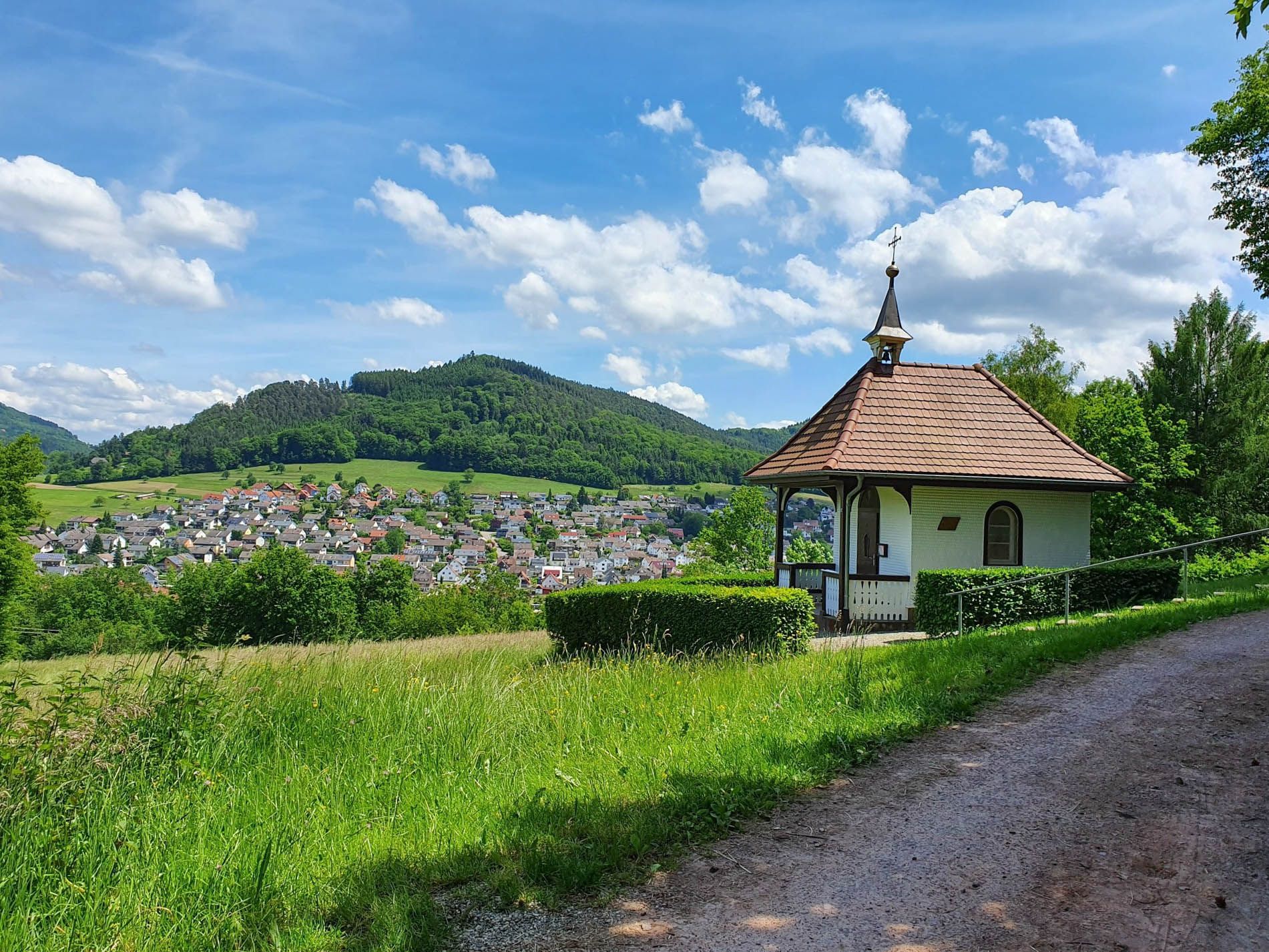
Rottweil–Lahr Black Forest Trail – Hike between forests and meadows
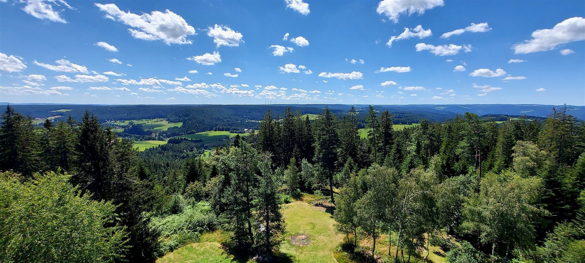
Lauterbacher Wandersteig – Two days in the idyllic Black Forest
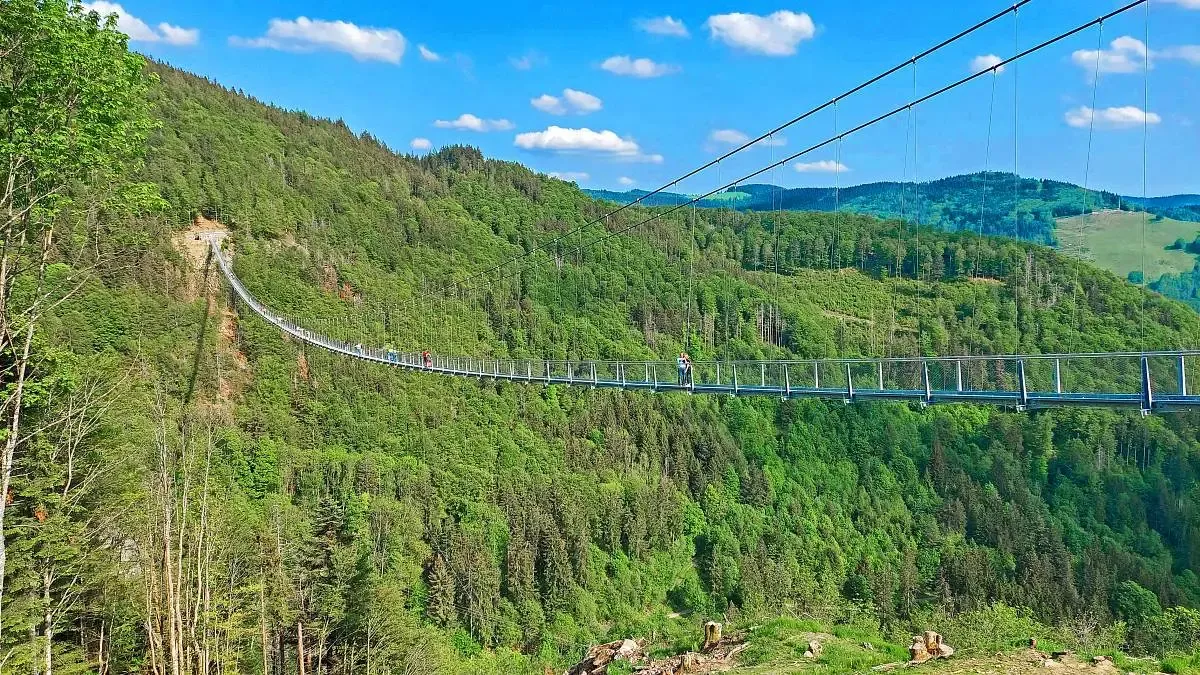
Nature and thrills – adventurous hiking in the Black Forest
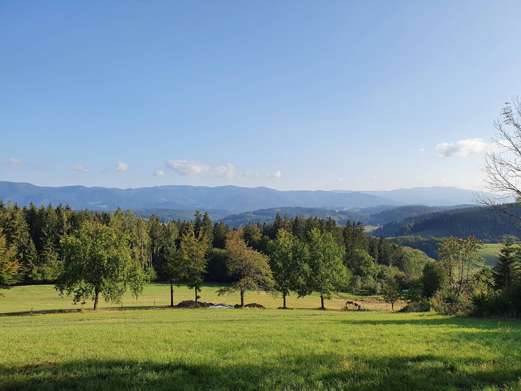
Four days on the Querweg Lahr-Rottweil
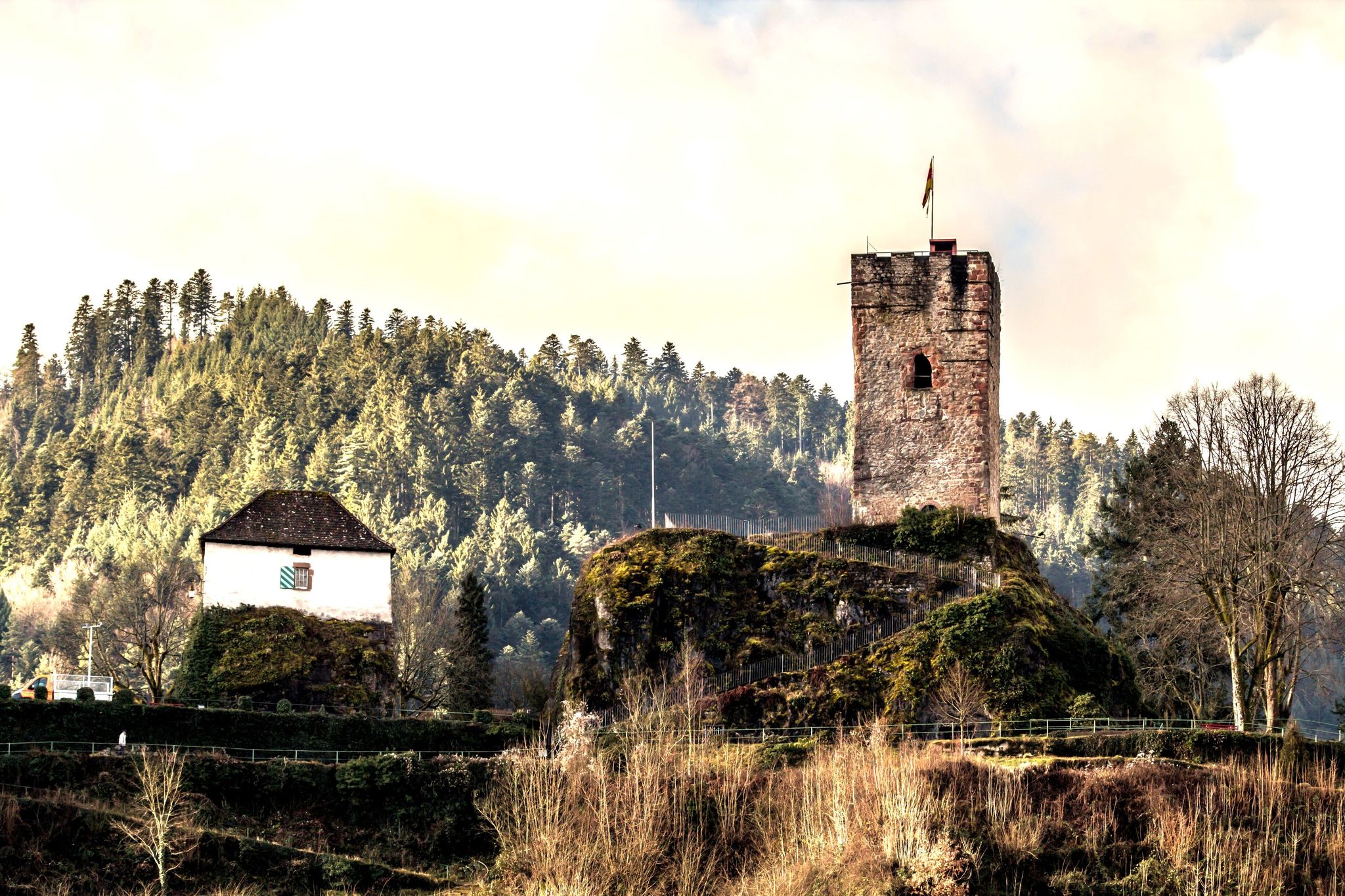
Mountains, castles and Bollenhüte hats — the central Black Forest
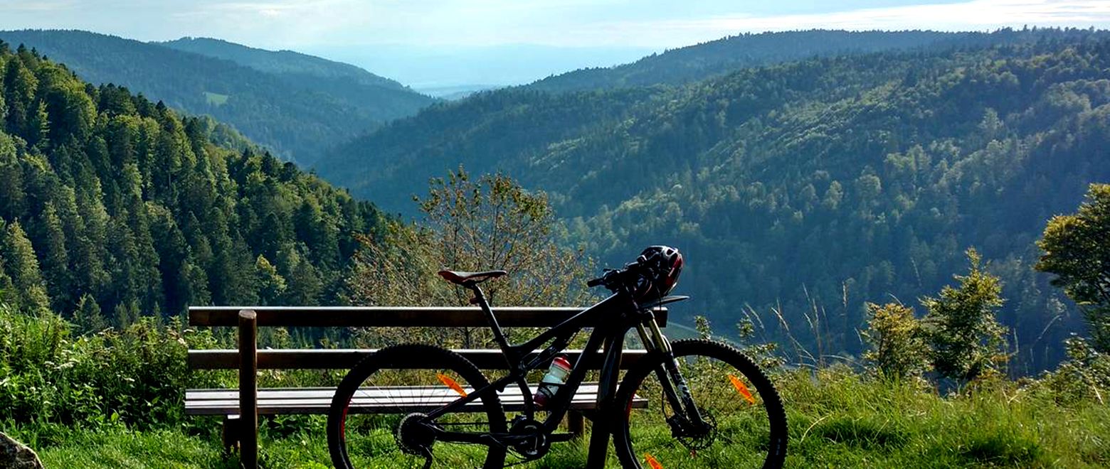
The Black Forest Crossing – From north to south in eight days

Gentle cycling & fine dining – the Black Forest for connoisseurs
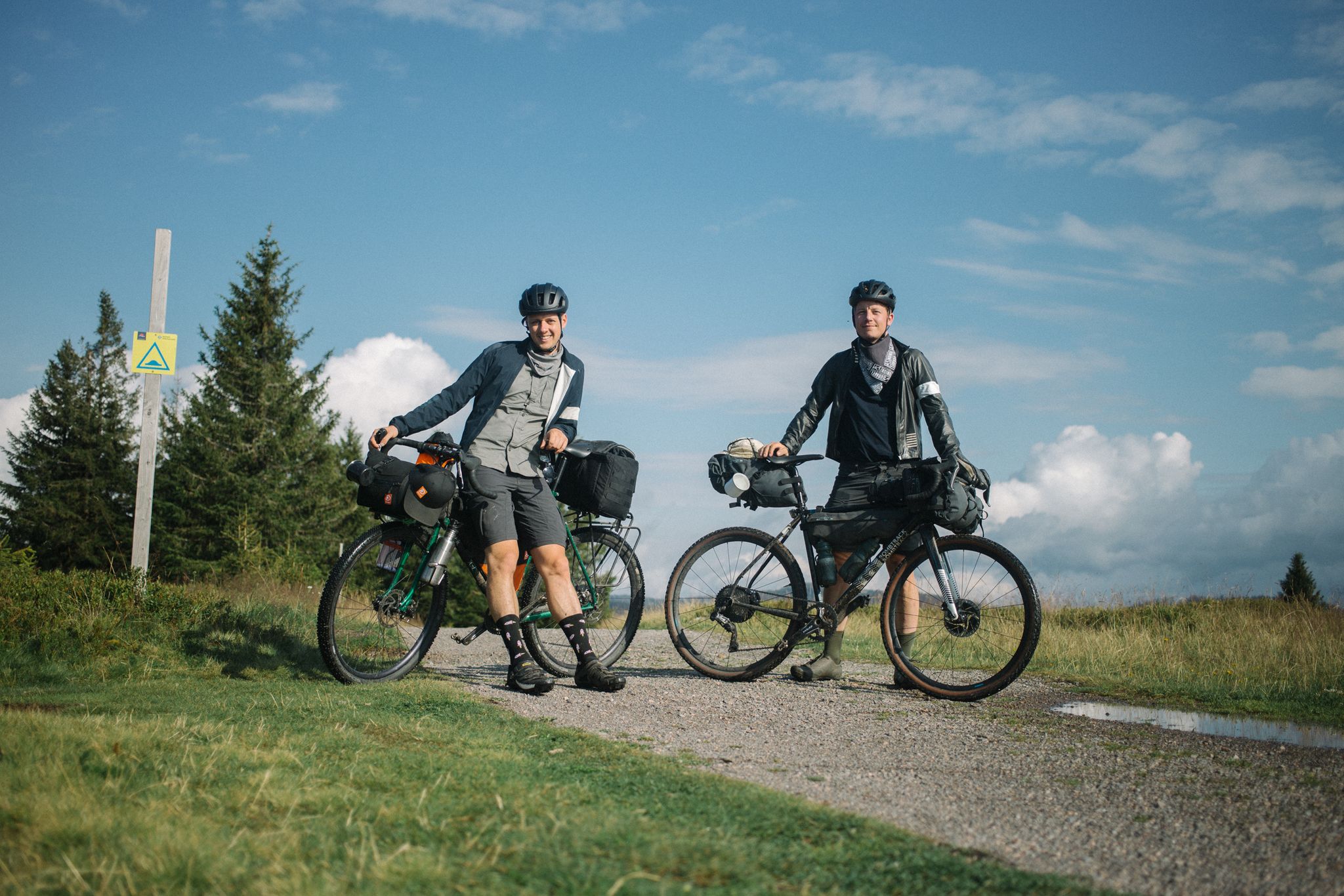
Bikepacking the Black Forest and Alsace

Familien-Erlebnispfade – Mit den Kleinsten unterwegs im Kinzigtal
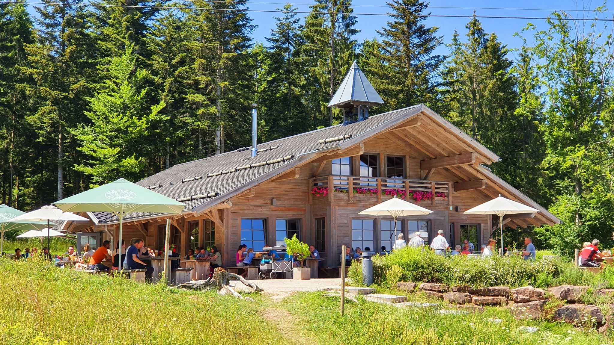
Schwarzwälder Hütteneinkehr – Genussmomente zwischen Wald und Weite
Other adventures around Hornberg


Tips from the Community

The mill at the Hasenbauer farm is no longer functional. However, the undershot mill wheel can still be seen. Today, the mill mainly serves as a shelter for domesticated bee colonies.
1
0

Loop around the castle, an experience for children
0
0

A lovely little chapel
7
0
The capercaillie lekking ground invites you to take a break.
6
0

Easily accessible by bike from above, then descend for two or three minutes on foot to the Igelfelsen (Hedgehog Rock) via a small path.
1
0

Beautiful path to the Feierabendfelsen and past rock formations
0
0

From the Apple Rock, you'll enjoy a beautiful view of the Reichenbach Valley and the Black Forest. A bench is available for a rest. The rock is uncrowded, guaranteeing peace and quiet!
0
0
Frequently Asked Questions
How many hiking trails are accessible directly from bus stations around Hornberg?
There are over 50 hiking routes around Hornberg that are easily accessible from local bus stations. These trails cater to various fitness levels, with 19 easy, 30 moderate, and 5 more challenging options available.
What kind of terrain can I expect on these bus station hikes in Hornberg?
The terrain around Hornberg is diverse, ranging from gentle paths along the Gutach river to more rugged trails ascending through dense fir forests and over granite formations. Many routes offer shaded forest paths and lead to panoramic viewpoints overlooking the Gutach Valley and the Black Forest hills.
Are there any easy, family-friendly hikes accessible by bus in Hornberg?
Yes, Hornberg offers several easy, family-friendly routes. A great option is the Hornberger Brunnen Fountain – Hornberg Castle and its Tower loop from Hornberg. This moderate 3.4 km hike is relatively short and takes you past the historic Hornberg Castle, offering lovely views without being overly strenuous.
Can I bring my dog on the hiking trails around Hornberg's bus stations?
Most hiking trails in the Black Forest, including those around Hornberg, are dog-friendly. Always keep your dog on a leash, especially near wildlife, livestock, or in populated areas. Remember to carry water for your pet and clean up after them.
What are some notable viewpoints or landmarks I can see on these trails?
Many routes offer stunning views. The historic Hornberg Castle, perched dramatically above the town, is a prominent landmark. Trails like the Hornberger Brunnen Fountain – Hornberg Castle and its Tower loop provide excellent vistas. You might also encounter natural features like the rugged granite rocks and dense fir forests characteristic of the Black Forest. For broader attractions, consider visiting the Triberg Waterfalls or the serene Blindensee, both accessible from the wider region.
Are there circular hiking routes available from Hornberg's bus stations?
Yes, many of the trails accessible from Hornberg's bus stations are circular routes, allowing you to start and end at the same point without needing to retrace your steps. The Igelloch Rocks – Landgasthof Lamm loop from Hornberg is a moderate 14.6 km circular hike that offers a varied experience.
What is the best time of year to hike around Hornberg?
The best time to hike in Hornberg is generally from spring to autumn (April to October) when the weather is mild and the landscapes are vibrant. Spring brings blooming gorse, while autumn offers spectacular fall foliage. Summer is also popular, but be prepared for warmer temperatures. Some trails are suitable for winter hiking, but conditions can be challenging with snow and ice.
Are there any cafes or restaurants near the bus station trailheads in Hornberg?
Hornberg, being a charming Black Forest town, has various cafes and restaurants where you can refuel before or after your hike. Many routes also pass by traditional guesthouses (Landgasthöfe) in surrounding hamlets, offering local cuisine and refreshments.
What do other hikers enjoy most about the trails around Hornberg?
The area is highly rated by the komoot community, with an average score of 4.56 stars from over 22,000 ratings. Reviewers often praise the diverse topography, the stunning panoramic views of the Gutach Valley, the well-marked paths through dense forests, and the historical insights offered by trails exploring old fortifications and castles.
Are there any longer, more challenging bus station hikes in the Hornberg area?
For those seeking a greater challenge, there are several longer and more demanding routes. The View of Sulzbach – Apfelfelsen loop from Fohrenbühl is a difficult 18.1 km hike that offers significant elevation changes and rewarding views. Another option is the Kapfhäusle Thatched House – Colorful Wooden Totem Poles loop from Sulzbach, a moderate 16 km route with varied terrain.
Can I find any historical sites or unique natural features along these bus station trails?
Absolutely. Hornberg's region is rich in history and natural beauty. You can explore trails that lead to former baroque defensive installations, such as the Hornberg Rock Paths which traverse historic fortifications. The landscape itself features rugged granite rocks and deep valleys. Keep an eye out for traditional Black Forest farm mills along routes like the 'Great Hornberg Mill Trail' (not a specific route in this guide, but a regional feature).
Most popular routes around Hornberg
Most popular attractions around Hornberg

Get inspired with the komoot mobile app


Explore more
Browse the best Hikes in other regions.
