Easy hikes and walks around Hornberg
4.5
(27083)
95,000
hikers
159
hikes
Easy hiking trails around Hornberg are set within the picturesque Black Forest, characterized by rolling hills, dense woodlands, and deep valleys. The region features varied terrain, including the Gutach Valley, offering a mix of shaded paths and open vistas. Hikers can explore natural rock formations and historic defensive installations, providing diverse points of interest. The landscape is defined by its forested slopes and the scenic beauty of the Black Forest.
Best easy hiking trails around Hornberg
- The most popular easy hiking route is Hotel Schöne Aussicht – Karlstein loop from Bäracker Schöne Aussicht, a 2.6 miles (4.1 km) trail that takes 1 hour 11 minutes to complete, offering views from Hotel Schöne Aussicht.
- Another top favourite among local hikers is View of Wilhelminshöhe – Hotel Schöne Aussicht loop from Bäracker Schöne Aussicht, an easy 3.2 miles (5.1 km) path. This route leads through varied Black Forest scenery.
- Local hikers also love the Kahlhieb Fountain loop from Hornberg, a 2.3 miles (3.7 km) trail leading through forested paths and rolling hills, often completed in about 1 hour 5 minutes.
- Hiking around Hornberg is defined by Black Forest hills, dense forests, and scenic valleys. The network offers options for different ability levels, with a focus on easy hiking trails.
- The routes in Hornberg are highly rated by the komoot community with an average score of 4.6 stars from over 22,000 reviews. More than 86,000 hikers have used komoot to explore Hornberg's varied terrain.
Last updated: October 4, 2026
4.7
(84)
235
hikers
4.23km
01:13
110m
110m
Easy hike. Great for any fitness level. Easily-accessible paths. Suitable for all skill levels.
4.5
(17)
61
hikers
Easy hike. Great for any fitness level. Easily-accessible paths. Suitable for all skill levels.

4.7
(7)
28
hikers
3.69km
01:05
100m
100m
Easy hike. Great for any fitness level. Easily-accessible paths. Suitable for all skill levels.
4.7
(6)
19
hikers
Easy hike. Great for any fitness level. Easily-accessible paths. Suitable for all skill levels.
4.7
(9)
32
hikers
Easy hike. Great for any fitness level. Easily-accessible paths. Suitable for all skill levels.
Get access to more routes and recommendations from other explorers.
Already have an account?
Our route recommendations are based on thousands of hikes, rides, and runs completed by other people on komoot.
Start today with a free account
Your next adventure awaits.
Popular around Hornberg
Rottweil–Lahr Black Forest Trail – Hike between forests and meadows
Lauterbacher Wandersteig – Two days in the idyllic Black Forest
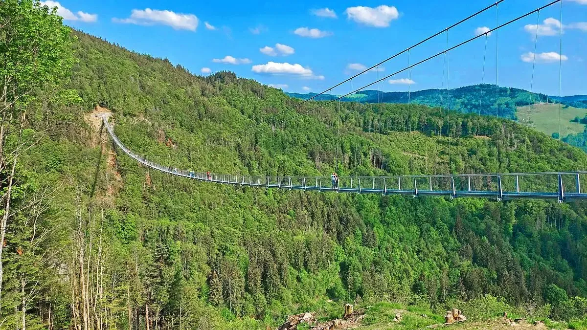
Nature and thrills – adventurous hiking in the Black Forest
Four days on the Querweg Lahr-Rottweil
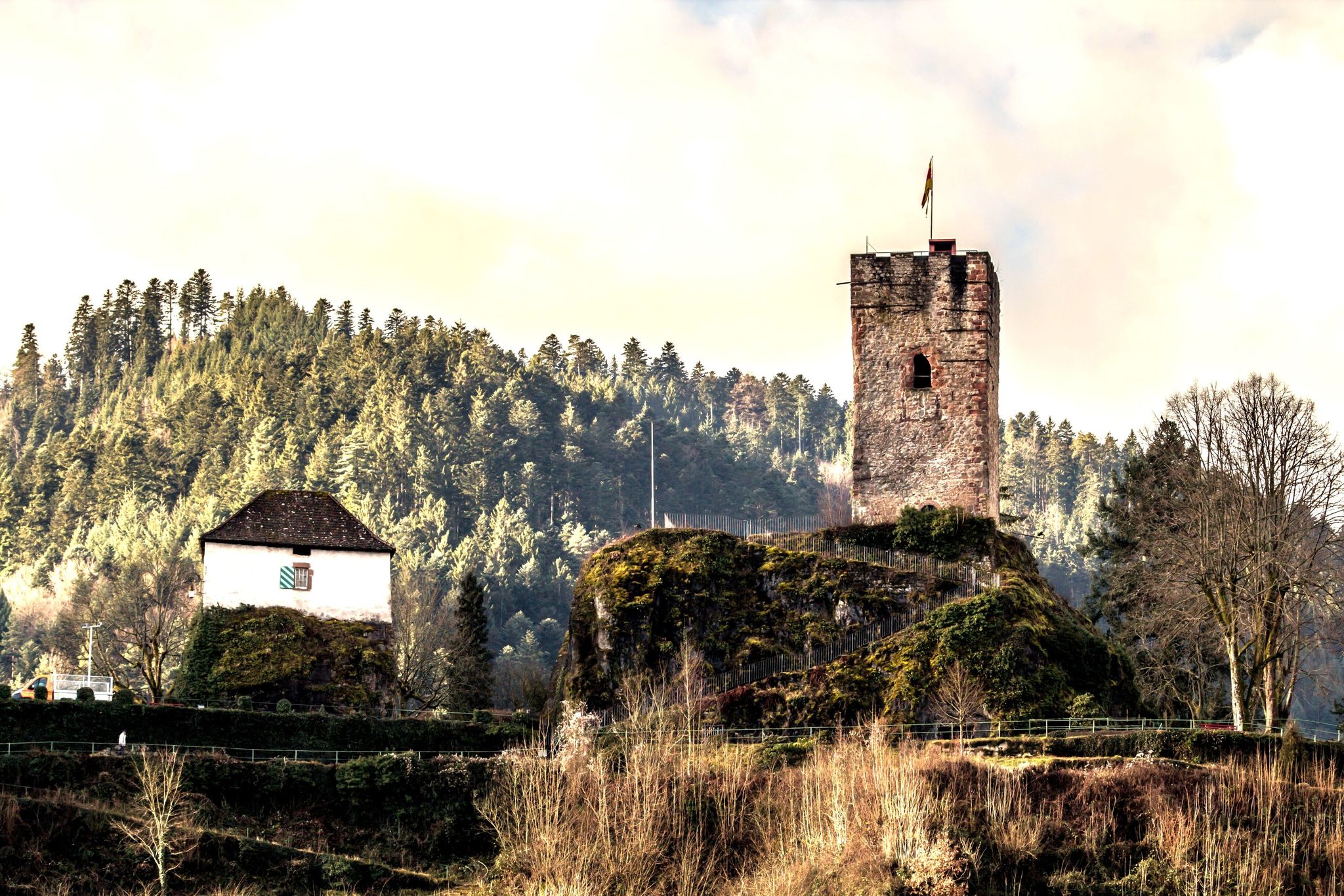
Mountains, castles and Bollenhüte hats — the central Black Forest
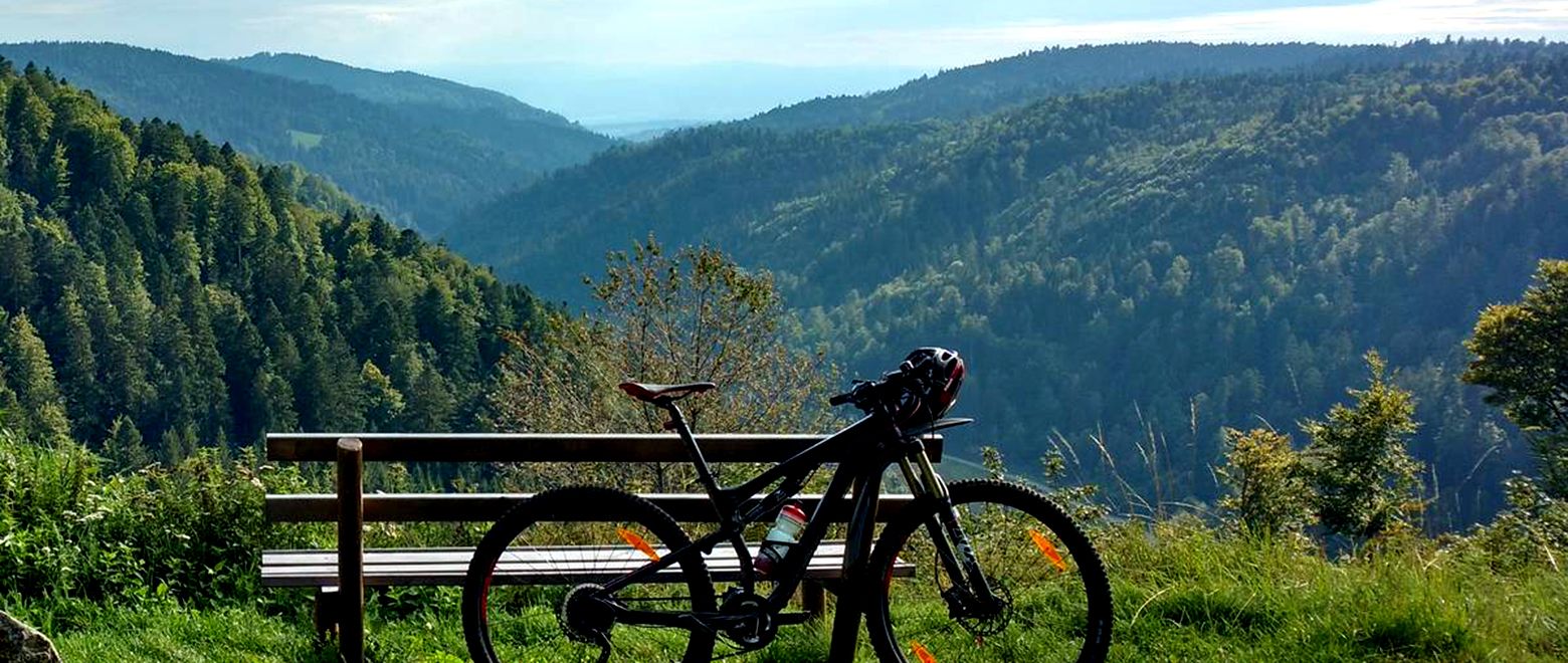
The Black Forest Crossing – From north to south in eight days

Gentle cycling & fine dining – the Black Forest for connoisseurs
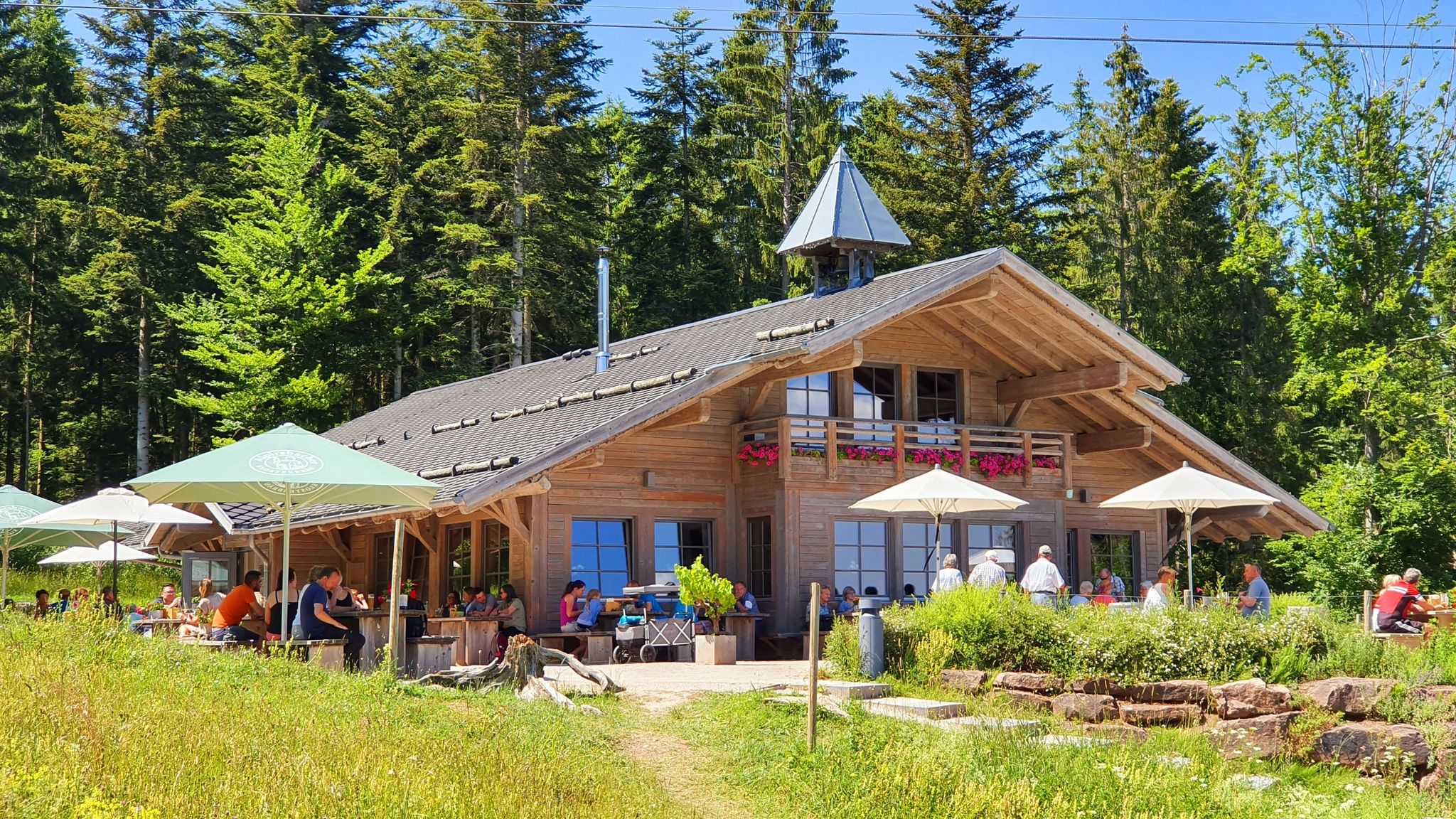
The Black Forest’s huts – moments of enjoyment & relaxation in the forest
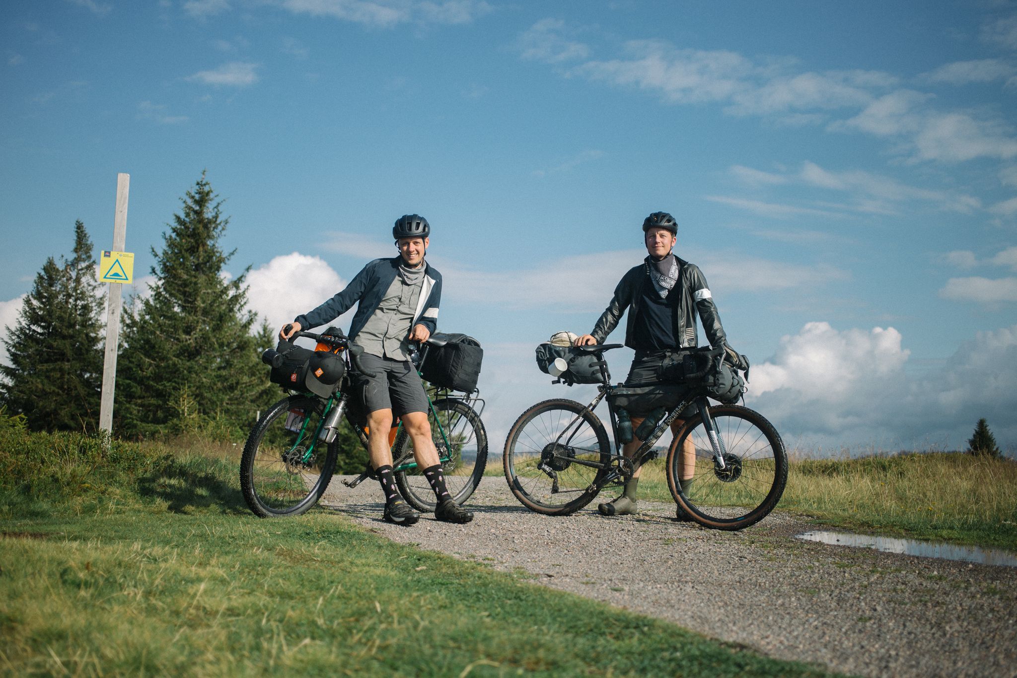
Bikepacking the Black Forest and Alsace
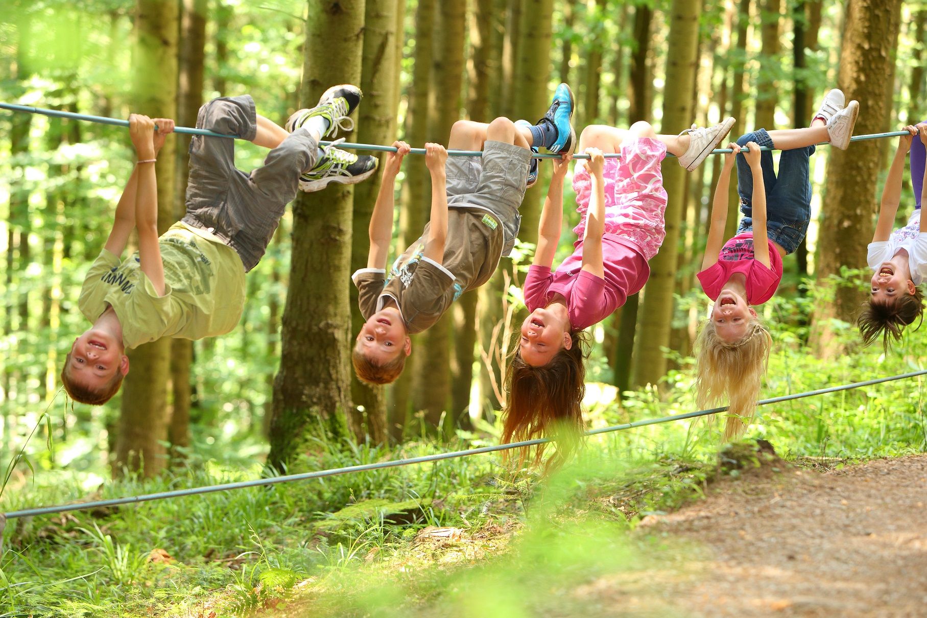
Familien-Erlebnispfade – Mit den Kleinsten unterwegs im Kinzigtal
Other adventures around Hornberg


Tips from the Community

is located at the Gedächtnishaus (tower/restaurant)
0
0

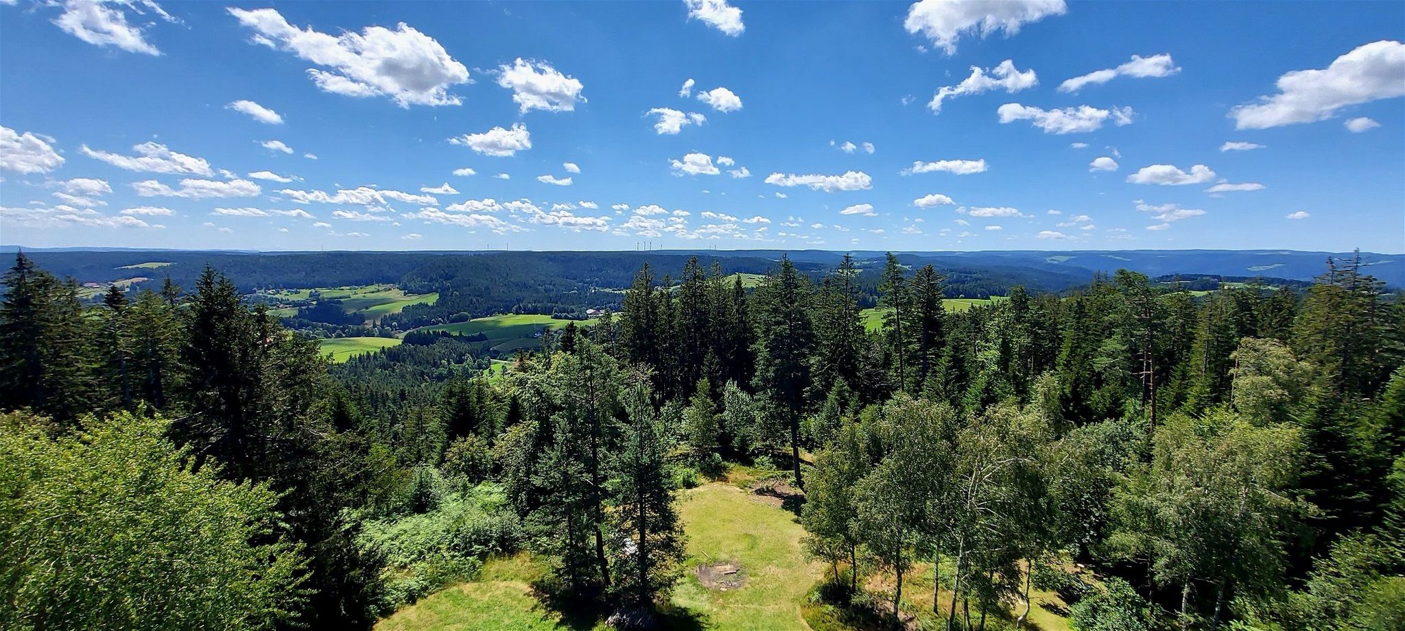
The Turmhütte on the Mooswaldkopf, built in 1904, was converted in 1923/24 into the "Memorial House of the Fallen of the World War 1914-18 from the Württemberg Black Forest Association". Today's Gedächtnishaus Fohrenbühl is a popular destination with a large terrace. From the platform of the 24-meter-high observation tower, you can enjoy a fantastic panoramic view over the Central Black Forest. You can also stay overnight in the Turmhütte. Handmade souvenirs are available in the small on-site ceramic shop. All information can be found at https://www.turmhuette.de/.
2
0

Parking lot of the Hotel Schöne Aussicht.
0
0

Planetenweg Interesting facts about the Planetenweg The Planetenweg aims to bring the hiker and nature lover, young or old, a little closer to some characteristics, astronomical and physical conditions, and especially the colossal size ratios of our solar system and thus also of the universe. The distance of the planets on the hiking trail also corresponds to the real distance from the sun on a scale of 1:1 billion. The model of the sun, a hollow sphere made of 4mm thick sheet steel, weighs approx. 140 kg and therefore has a diameter of 1.3 meters on this scale. At the planet locations, there are display boards with the relevant data of the respective planet (diameter, orbital period around and distance from the sun, etc.) and a brief explanation of the history/origin of the name. Unfortunately, during the planning and construction phase of the Planetenweg, the planet Pluto was "demoted" to a dwarf planet, but it still forms the endpoint of our hike through the solar system. .... Source: https://schwarzwaldverein-lauterbach.de/wege/unsere-wanderwege-in-lauterbach/planetenweg/
0
0
On the Fohrenbühl runs the former border between Baden and Württemberg, a border that has always been a boundary of districts, states, and religions since time immemorial. Lauterbach, as part of the former County of Hohenberg, belonged to Further Austria, but fell to Württemberg in the Peace of Pressburg in 1805. Due to the former Austrian rule, Lauterbach was Catholic. Hornberg was Württemberg, thus Protestant, and in 1810 fell by exchange to the Grand Duchy of Baden. Thus, the curiosity arose with two inns, only 25 m apart, that the "Schwanen" inn, belonging to Hornberg, was Württemberg until 1810 and then became Baden, and the "Adler" inn, previously Further Austrian because it belonged to Lauterbach, fell to Württemberg from 1805 onwards. Source: https://de.wikipedia.org/wiki/Fohrenb%C3%BChl
1
0

Nice place to rest at a crossroads, but the view is slowly becoming obscured.
0
0

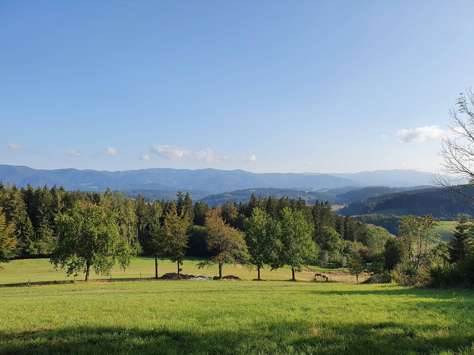
A great view in good weather
2
0
No water today. Nice benches with a table next to it.
0
0
Frequently Asked Questions
How many easy hiking trails are available around Hornberg?
Hornberg offers a wide selection of easy hiking trails, with over 60 routes specifically categorized as easy. These trails are designed to be accessible and enjoyable for various fitness levels, allowing you to explore the beautiful Black Forest scenery at a comfortable pace.
What kind of scenery can I expect on easy hikes in Hornberg?
Easy hikes around Hornberg immerse you in the quintessential Black Forest landscape. You'll encounter picturesque hills, dense forests, and deep valleys like the Gutach, Kinzig, and Elz. Many routes offer a mix of shaded paths and open vistas, with opportunities to see natural rock formations and historic defensive installations.
Are there any easy circular walks in Hornberg?
Yes, Hornberg features several easy circular walks. For example, the Hotel Schöne Aussicht – Karlstein loop from Bäracker Schöne Aussicht is a popular 2.6-mile route. Another option is the Kahlhieb Fountain loop from Hornberg, which offers a pleasant 2.3-mile circuit.
What do other hikers enjoy most about the easy trails in Hornberg?
The easy trails in Hornberg are highly rated by the komoot community, with an average score of 4.6 stars from over 5,700 reviews. Hikers frequently praise the well-maintained paths, the stunning views of the Black Forest hills, and the diverse natural settings that make these routes so enjoyable.
Are there any family-friendly easy hikes in Hornberg?
Many of Hornberg's easy trails are suitable for families. Routes like the Hotel Schöne Aussicht – Karlstein loop from Bäracker Schöne Aussicht are relatively short and have minimal elevation gain, making them ideal for walks with children. The varied scenery and points of interest keep younger hikers engaged.
Can I bring my dog on the easy hiking trails?
Generally, dogs are welcome on the hiking trails in the Black Forest region, including the easy routes around Hornberg. It's always advisable to keep your dog on a leash, especially in forested areas or near wildlife, and to carry waste bags. Always respect local signage regarding pet regulations.
Are there any specific viewpoints or landmarks to look out for on easy hikes?
Yes, several easy routes offer access to notable viewpoints and landmarks. The Hornberg Castle and its tower are central to many loops, providing historical interest. The Upper Schlossfelsen Viewpoint offers expansive vistas of the Black Forest hills. Additionally, natural rock features like Karlsfelsen are often incorporated into scenic trails.
What are some interesting natural features I might encounter on an easy hike?
Beyond the dense forests and rolling hills, easy hikes in Hornberg can lead you to fascinating natural rock formations such as Karlsfelsen, Huberfelsen, and Uhufelsen. The deeply incised Gutach valley itself is a prominent natural feature, offering dramatic views from various points along the trails.
Are there any trails that pass by historical sites?
Yes, Hornberg's history is woven into its landscape. The area features former baroque defensive installations, known as redoubts, which offer magnificent views over the town and the Gutach valley. The historic 'Schanzen Trail' is a themed path that specifically explores these defensive works, combining history with scenic beauty.
Are there any easy routes that offer views of the Gutach valley?
Absolutely. The Hornberg town forest itself provides shaded paths and rocky trails with excellent views into the deeply incised Gutach valley. Many of the easy routes are designed to showcase these panoramic vistas, allowing you to appreciate the region's unique topography.
What is the typical duration for an easy hike in Hornberg?
The easy hikes around Hornberg vary in length and duration. Many popular routes, such as the Hotel Schöne Aussicht – Karlstein loop (2.6 miles), can be completed in just over an hour. Longer easy trails, like the Föhrenbühl Trailhead Parking – Ascent to Mooswaldkopf loop (3.6 miles), might take around 1 hour 37 minutes, offering a slightly longer but still manageable experience.
Are there any easy trails that lead to interesting gorges?
While the immediate easy hiking guide focuses on general trails, the Hornberg region is known for its gorges. You can explore nearby natural attractions like the Kuhbachtal or the Kostgfäll Gorge, which offer dramatic landscapes. These might require a short drive or a slightly more challenging walk to reach, but they are worth exploring.
Most popular routes around Hornberg
Most popular attractions around Hornberg

Get inspired with the komoot mobile app


Explore more
Browse the best Hikes in other regions.
