The best mountain hikes around Hornberg
4.0
(2)
10
hikers
7
hikes
Mountaineering around Hornberg is characterized by its location within the central Black Forest, featuring dense forests, picturesque valleys, and rolling mountains. The region offers significant elevations, with routes traversing varied terrain including rocky paths and deeply incised valleys like the Gutach Valley. These conditions provide opportunities for challenging ascents and descents, appealing to mountaineers seeking strenuous routes.
Best mountaineering routes around Hornberg
- The most popular mountaineering route is Kapfhäusle Thatched House – Boardwalk at the Rotwasserbach loop from Fohrenbühl,…
Last updated: July 1, 2026
2
hikers
Moderate mountaineering route. Good fitness required. Easily-accessible paths. Suitable for all skill levels.
2
hikers
7.79km
02:09
130m
130m
Moderate mountaineering route. Good fitness required. Easily-accessible paths. Suitable for all skill levels.

Sign up for free
3.0
(1)
2
hikers
6.42km
01:47
120m
120m
Easy mountaineering route. Great for any fitness level. Easily-accessible paths. Suitable for all skill levels.
5.0
(1)
2
hikers
14.4km
04:42
630m
630m
Moderate mountaineering route. Good fitness required. Mostly accessible paths. Sure-footedness required.
1
hikers
Moderate mountaineering route. Good fitness required. Easily-accessible paths. Suitable for all skill levels.
Get access to more routes and recommendations from other explorers.
Sign up for free
Already have an account?
Our route recommendations are based on thousands of hikes, rides, and runs completed by other people on komoot.
Start today with a free account
Your next adventure awaits.
Login or Signup
Popular around Hornberg
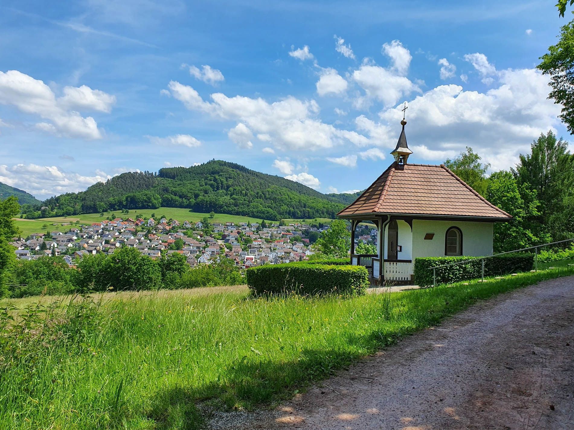
Rottweil–Lahr Black Forest Trail – Hike between forests and meadows
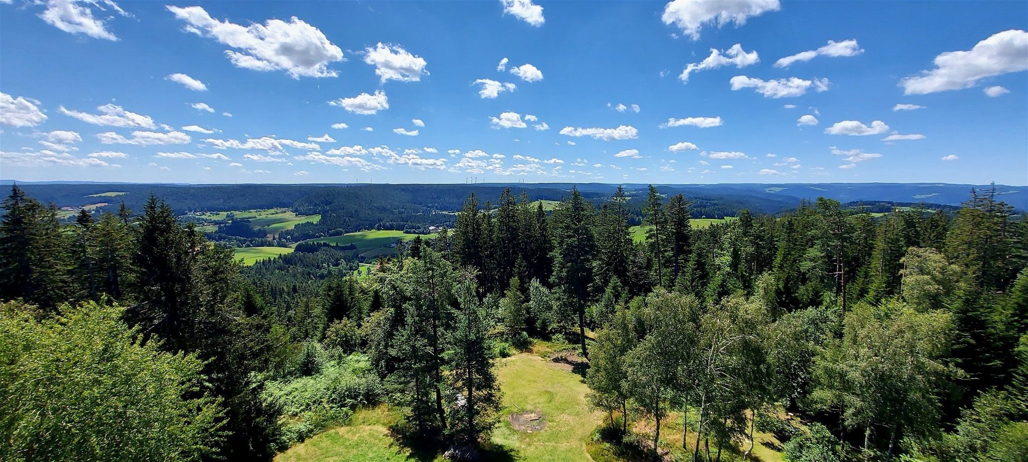
Lauterbacher Wandersteig – Two days in the idyllic Black Forest
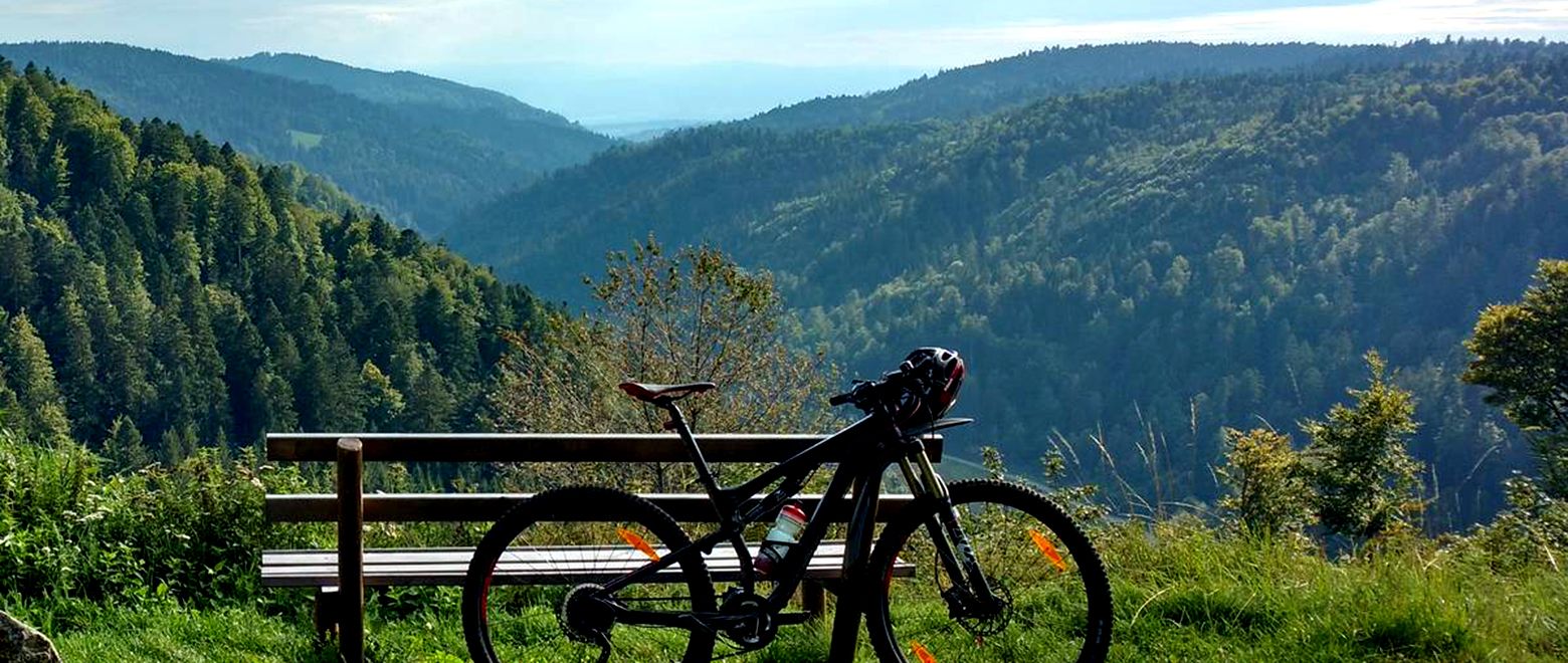
The Black Forest Crossing – From north to south in eight days

Gentle cycling & fine dining – the Black Forest for connoisseurs
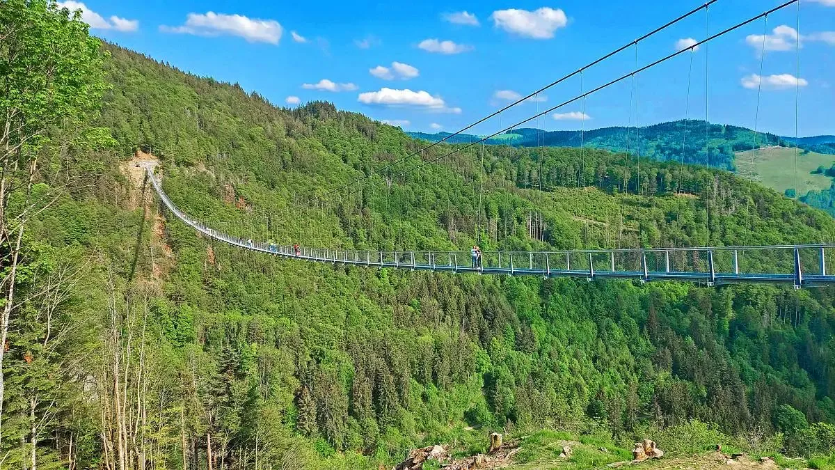
Nature and thrills – adventurous hiking in the Black Forest
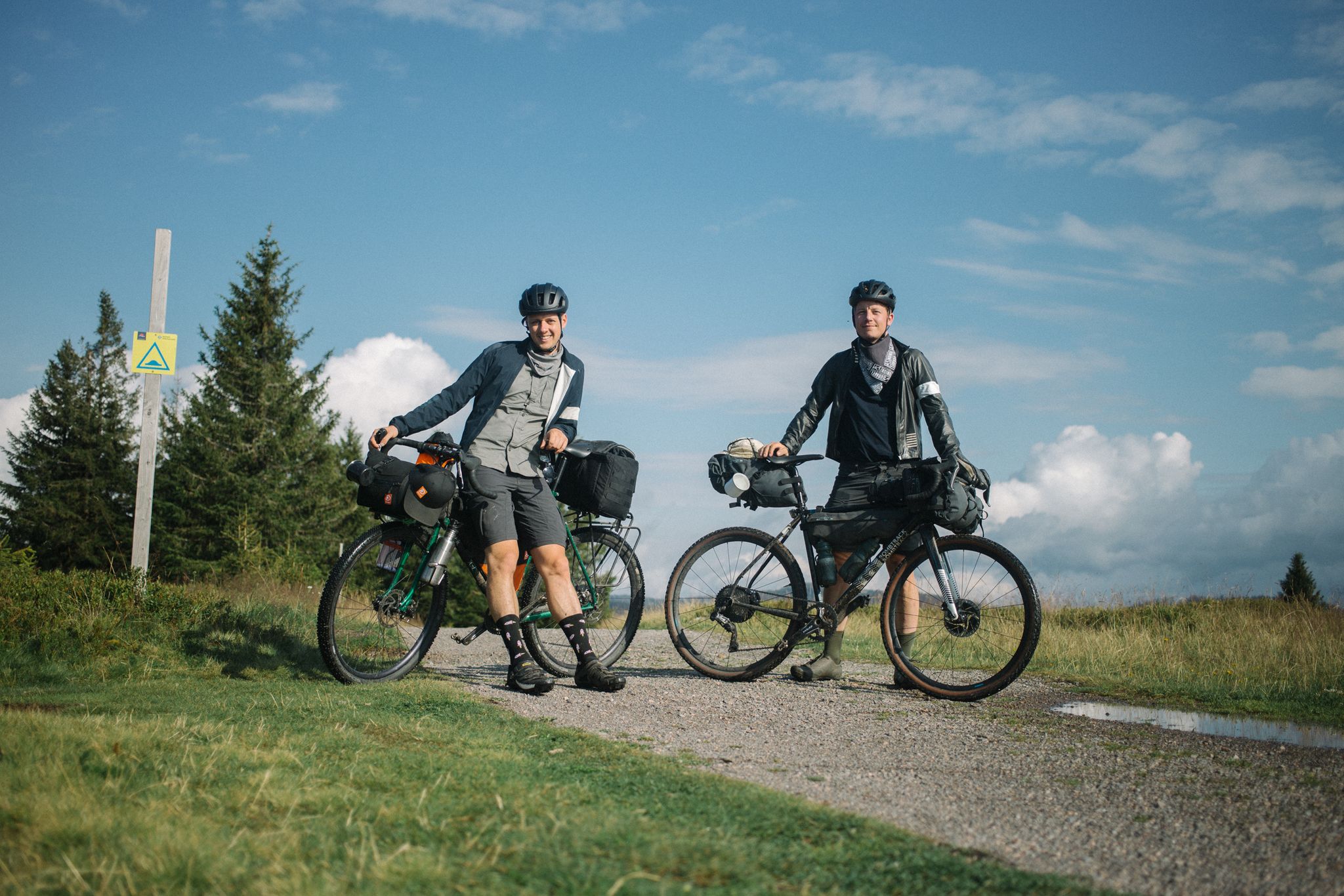
Bikepacking the Black Forest and Alsace
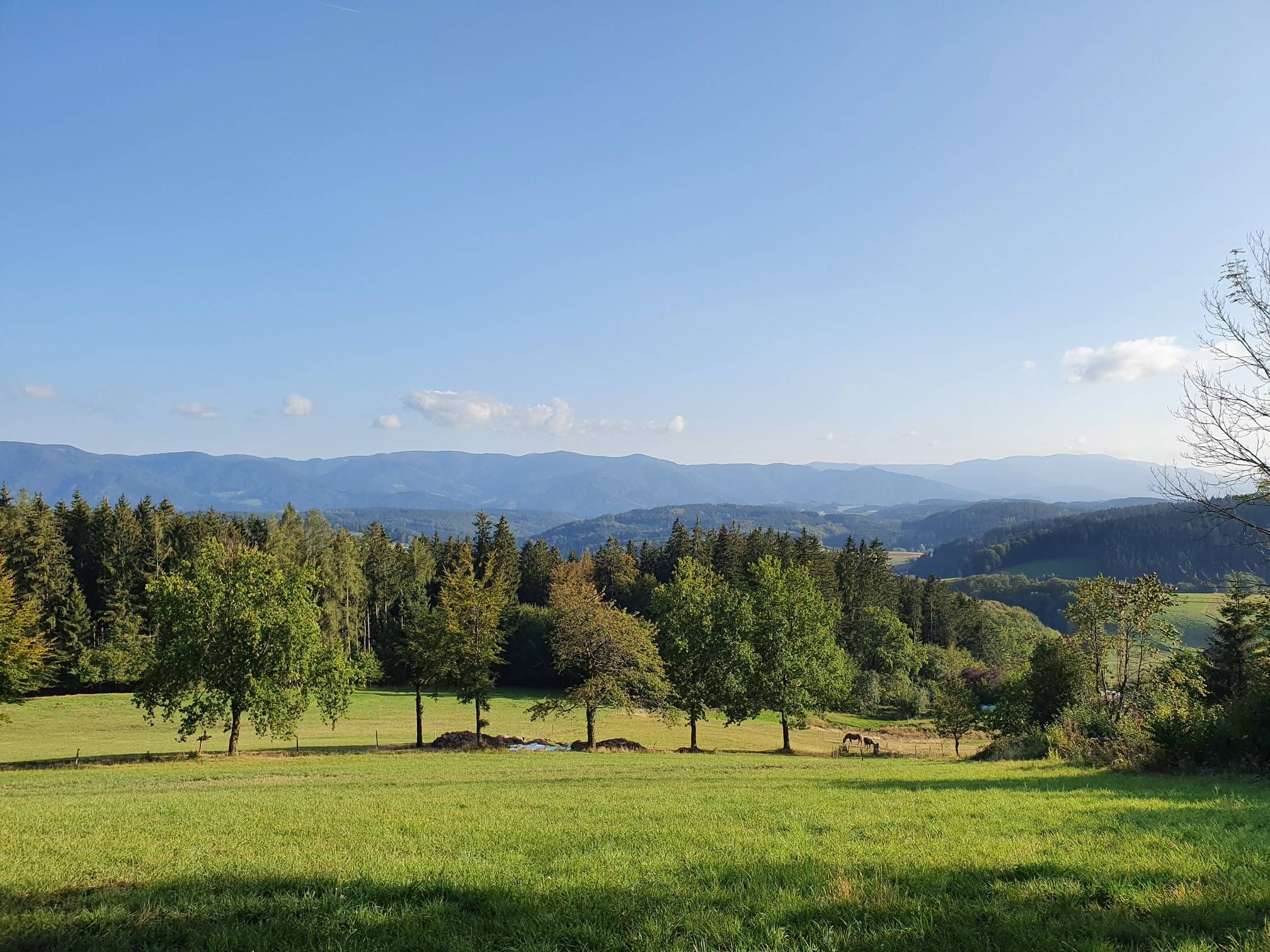
Four days on the Querweg Lahr-Rottweil
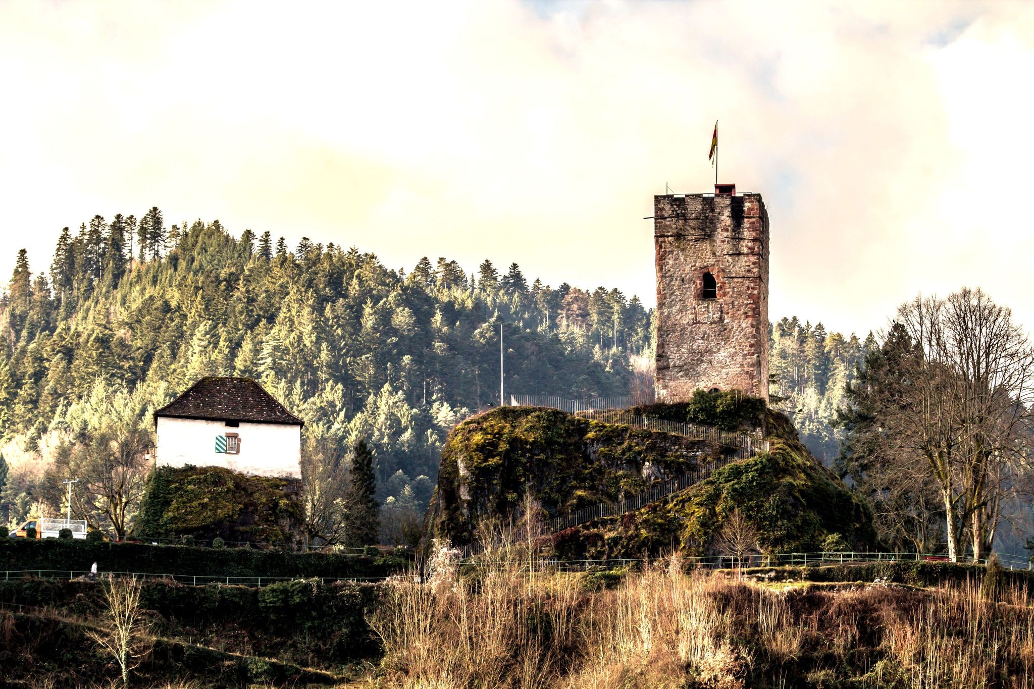
Mountains, castles and Bollenhüte hats — the central Black Forest
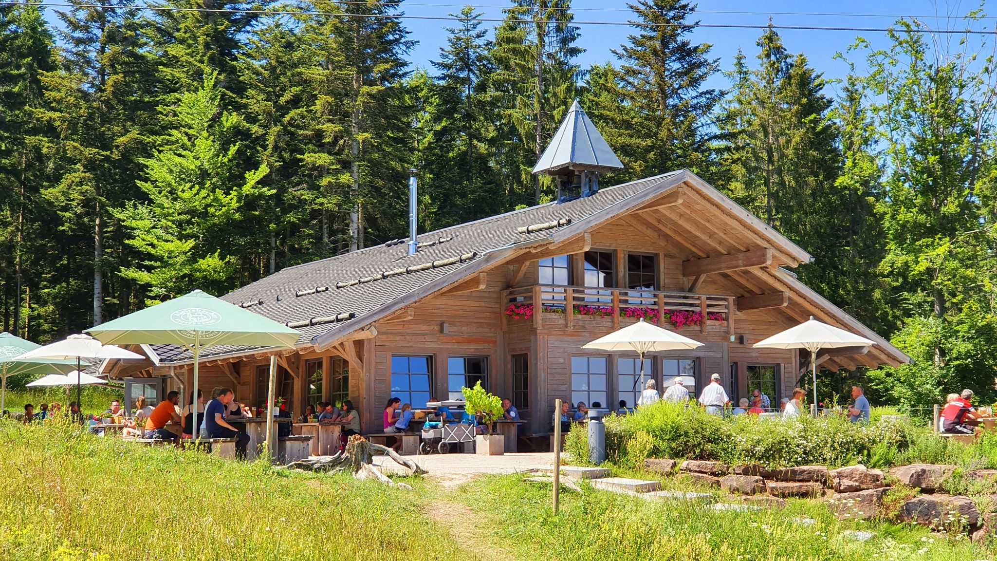
Schwarzwälder Hütteneinkehr – Genussmomente zwischen Wald und Weite
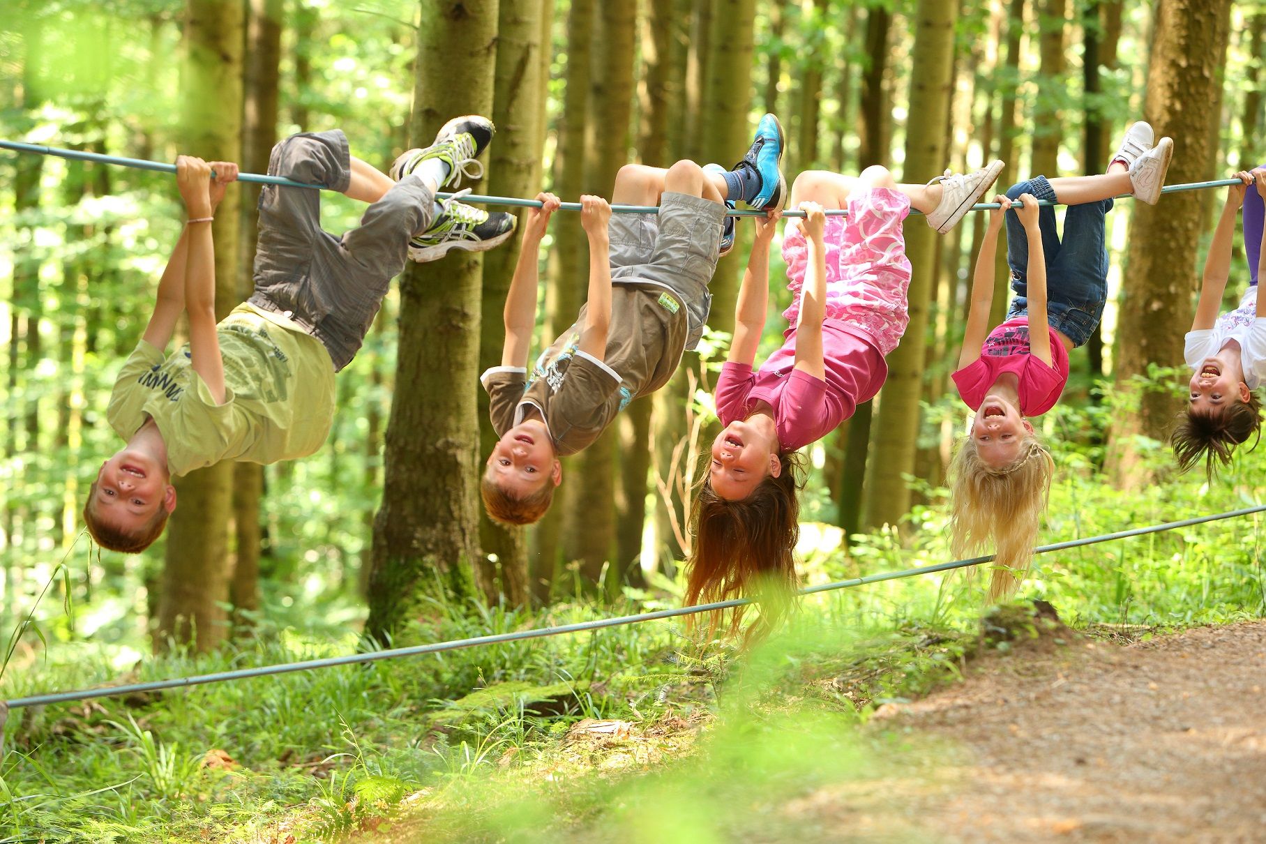
Familien-Erlebnispfade – Mit den Kleinsten unterwegs im Kinzigtal
Other adventures around Hornberg


Tips from the Community

Access to platform 2 and 3 is at ground level via the yellow marked crossing. Approx. 10 minutes before a train arrives or passes, the crossing is closed with a barrier. So you have to be on the platform in good time beforehand.
0
0
Tracks 2 (RS to Hausach) and 3 (RE2 to Karlsruhe) can be reached at ground level via a yellow-marked path that goes over the tracks. Approximately 5-10 minutes before the train arrives, this passage is closed by a barrier. Then there is no longer a connection. So you have to be at the platform in good time.
0
0

Small shelter here, solid wooden floor.
0
0

Planetenweg Interesting facts about the Planetenweg The Planetenweg aims to bring the hiker and nature lover, young or old, a little closer to some characteristics, astronomical and physical conditions, and especially the colossal size ratios of our solar system and thus also of the universe. The distance of the planets on the hiking trail also corresponds to the real distance from the sun on a scale of 1:1 billion. The model of the sun, a hollow sphere made of 4mm thick sheet steel, weighs approx. 140 kg and therefore has a diameter of 1.3 meters on this scale. At the planet locations, there are display boards with the relevant data of the respective planet (diameter, orbital period around and distance from the sun, etc.) and a brief explanation of the history/origin of the name. Unfortunately, during the planning and construction phase of the Planetenweg, the planet Pluto was "demoted" to a dwarf planet, but it still forms the endpoint of our hike through the solar system. .... Source: https://schwarzwaldverein-lauterbach.de/wege/unsere-wanderwege-in-lauterbach/planetenweg/
0
0

A cozy place that invites you to linger on the bench.
0
0

Great rest area in front of the boardwalk
0
0

Nice place to rest at a crossroads, but the view is slowly becoming obscured.
0
0

information board at the Blindensee, various hiking trails accessible.
1
0
Frequently Asked Questions
What kind of terrain can I expect on mountaineering routes around Hornberg?
Mountaineering routes in Hornberg traverse a diverse landscape within the central Black Forest. You can expect dense forests, picturesque valleys, and rolling mountains. Many trails feature rocky terrain and deeply incised valleys, offering varied conditions from gentle slopes to challenging ascents and descents. Some routes are specifically noted for requiring sturdy shoes due to their rocky and forested paths.
Are there routes suitable for beginners or those new to mountaineering in Hornberg?
Yes, the Hornberg area offers a network of trails suitable for various ability levels. For a more accessible experience, consider the Ramstein Chapel loop from Tennenbronn, which is rated as easy and leads through rolling hills and forested paths.
What are some more challenging mountaineering routes in the Hornberg area?
For those seeking a more strenuous experience, the Hornberg Castle and its Tower – Karlstein loop from Hornberg is a moderate route with significant elevation gain, offering panoramic views. The region also features high-altitude hikes with several hundred meters of ascent and descent, requiring good fitness and sure-footedness.
Are there any mountaineering routes that feature waterfalls or other notable natural attractions?
While not directly on all mountaineering routes, the famous Triberg Waterfalls, Germany's highest, are a short distance from Hornberg and are a spectacular natural attraction worth visiting. Additionally, the Blindensee, a picturesque lake, can be found near some routes, such as the Schönwälder Urhüttle – Blindensee loop from Schönwald im Schwarzwald.
Can I find circular mountaineering routes in Hornberg?
Yes, many of the mountaineering routes around Hornberg are designed as loops, allowing you to start and end at the same point. Examples include the Kapfhäusle Thatched House – Boardwalk at the Rotwasserbach loop from Fohrenbühl, which takes you through dense forests and along the Rotwasserbach, and the Brend Tower – Brend Mountain Inn loop from Schönwald im Schwarzwald.
What are some historical landmarks or viewpoints I can discover while mountaineering?
The region is rich in historical and scenic points. The Hornberg Castle and its Tower – Karlstein loop from Hornberg offers views of the historic Hornberg Castle ruins, which provide panoramic vistas of the town and surrounding landscape. The Karlstein rock formation is also a notable feature on several hiking loops, offering scenic viewpoints.
What do other mountaineers enjoy the most about mountaineering in Hornberg?
The area is highly rated by the komoot community, with an average score of 4.0 stars. Mountaineers often praise the diverse terrain, the challenging ascents, and the breathtaking scenery of the Black Forest, including views of the Rhine Valley and even the Vosges Mountains from higher vantage points.
Are there any long-distance trails that connect through Hornberg?
Yes, Hornberg is connected to several well-known long-distance hiking trails, including the Westweg, Mittelweg, and Querweg. These connections expand the possibilities for multi-day excursions for those looking for extended mountaineering adventures.
What is the best time of year for mountaineering in Hornberg?
The Black Forest region around Hornberg is appealing for outdoor activities throughout much of the year. While specific 'best times' depend on personal preference, the diverse landscape with dense forests and valleys offers beautiful scenery in spring, summer, and autumn. In winter, nearby areas also offer skiing, but mountaineering conditions would depend on snow and ice.
Are there any places to eat or stay near the mountaineering routes?
The region around Hornberg, being a popular tourist destination, offers various options for refreshment and accommodation. Many trails lead through or near villages where you can find cafes, pubs, and guesthouses. The 'Brend Mountain Inn' is specifically mentioned as part of the Brend Tower – Brend Mountain Inn loop from Schönwald im Schwarzwald, indicating opportunities for stops along the way.
How many mountaineering routes are available in the Hornberg area?
There are over 7 mountaineering routes available around Hornberg, offering a range of distances and difficulties to explore the diverse Black Forest landscape.
Most popular routes around Hornberg
Most popular attractions around Hornberg

Get inspired with the komoot mobile app


Explore more
Browse the best Mountain Hikes & Routes in other regions.
