The best hikes from bus stations around Johanngeorgenstadt
4.6
(2698)
9,397
hikers
95
hikes
Bus station hiking trails around Johanngeorgenstadt are situated in the Erzgebirge (Ore Mountains) at elevations between 700 and 1,000 meters. The region features dense forests, rolling hills, and river valleys, including the Schwarzwasser river leading to the Sosa dam. Natural monuments like the Kleiner Kranichsee nature reserve and canyons formed by sunken mining shafts also characterize the landscape. The area offers a network of trails through varied terrain, including moorlands and historical mining sites.
Best bus station hiking trails around…
Last updated: May 14, 2026
4.6
(44)
137
hikers
11.5km
03:15
250m
250m
Moderate hike. Good fitness required. Mostly accessible paths. Sure-footedness required.
4.7
(94)
259
hikers
Moderate hike. Good fitness required. Easily-accessible paths. Suitable for all skill levels.

Sign up for free
4.6
(88)
233
hikers
Moderate hike. Good fitness required. Easily-accessible paths. Suitable for all skill levels.
4.6
(62)
161
hikers
11.2km
03:15
280m
280m
Moderate hike. Good fitness required. Easily-accessible paths. Suitable for all skill levels.
4.8
(47)
144
hikers
Hard hike. Very good fitness required. Easily-accessible paths. Suitable for all skill levels.
Get access to more routes and recommendations from other explorers.
Sign up for free
Already have an account?
Our route recommendations are based on thousands of hikes, rides, and runs completed by other people on komoot.
Start today with a free account
Your next adventure awaits.
Login or Signup
Popular around Johanngeorgenstadt

History meets nature – Erzgebirge-Vogtland Ridge Trail
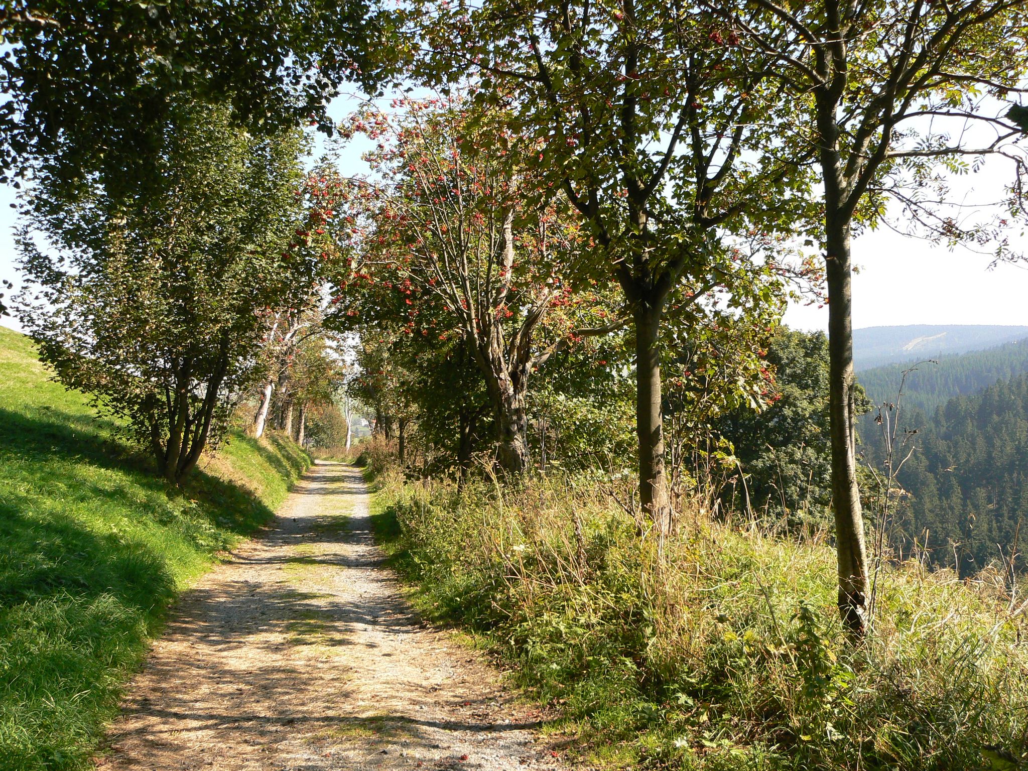
The Anton-Günther-Trail — a long weekend in the Ore Mountains
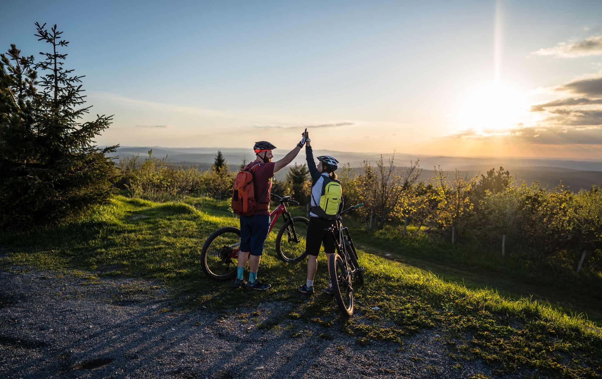
Flying high on two wheels – bike holidays in the Ore Mountains
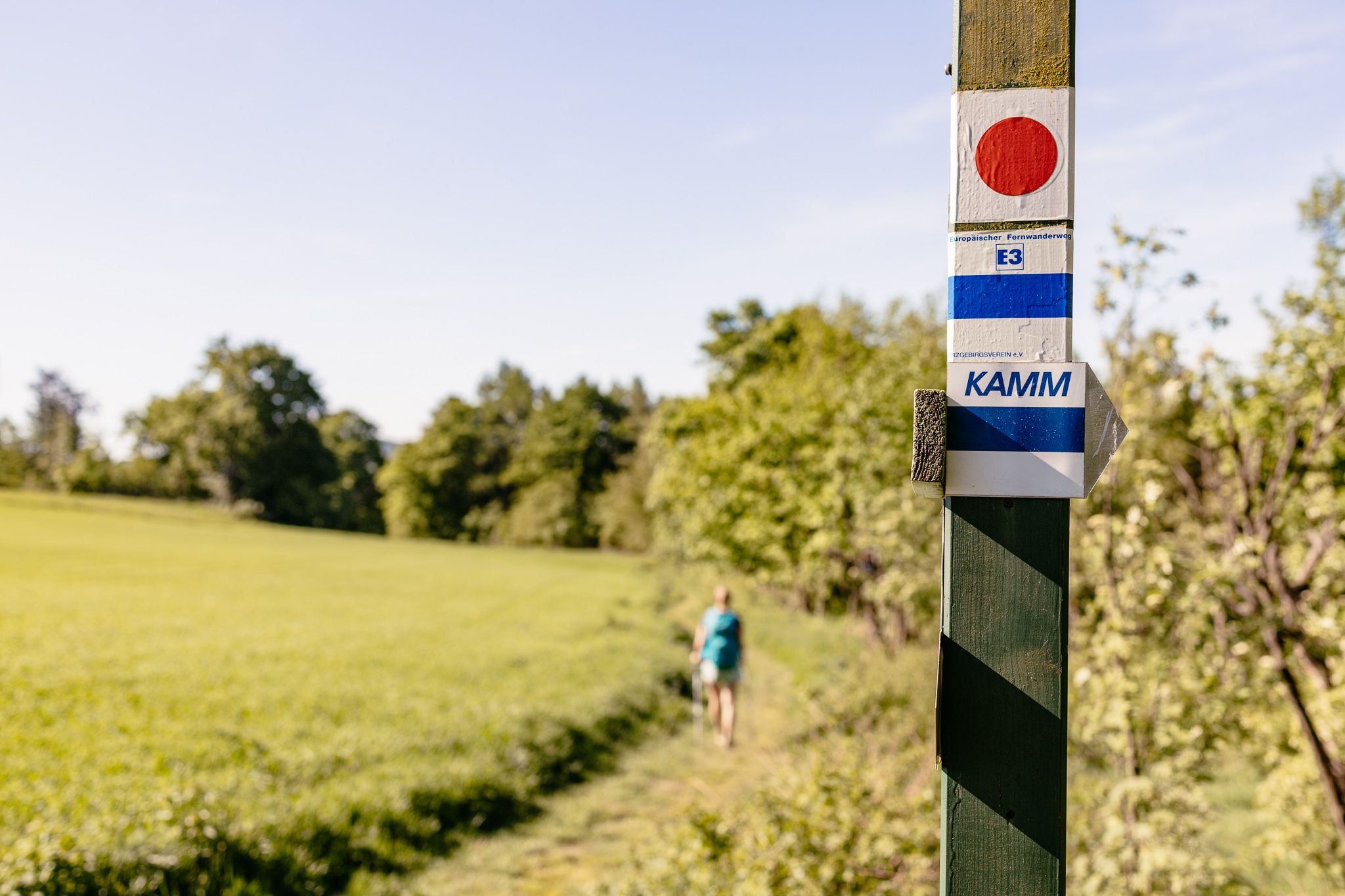
Der Kammweg Erzgebirge-Vogtland aus Sicht einer Bloggerin
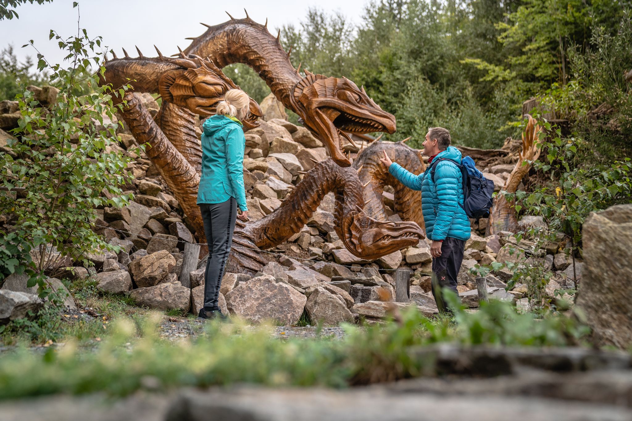
Wandertouren - Handwerk & Heimatgenuss
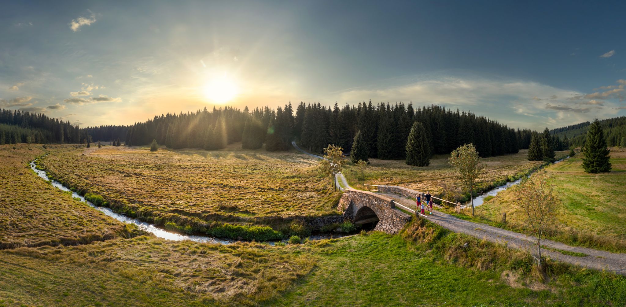
Wandertouren - Flusstäler & Talsperren
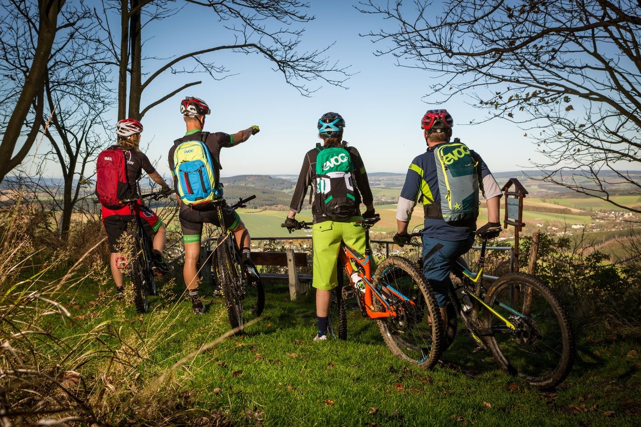
Stoneman Miriquidi MTB Gesamtstrecke (3 Tage - Bronze)
Other adventures around Johanngeorgenstadt


Tips from the Community

There are two ways - the small road to the right and a path to the left of the stream.
0
0


The Kleiner Kranichsee (Czech: Malé jeřábí jezero) is one of the most important raised bogs in the Ore Mountains. In Saxony, the moor has been under nature protection since 1939. Today it is the main component of the more extensive NSG Kleiner Kranichsee, Butterwegmoor and Henneberger Hang nature reserve. The Czech part of the moor was placed under state protection in 1962 on 6.02 hectares as a nature reserve. The raised bog is located at an altitude of 930 meters above sea level on a clearing in the high forest southwest of Johanngeorgenstadt. The border between Germany and the Czech Republic runs through the raised bog. (https://de.wikipedia.org/wiki/Kleiner_Kranichsee )
1
0
The 27th Original Johanngeorgenstadt Schwibbogen Festival featured a very special highlight. Entrepreneur Siegfried Ott presented the town of Johanngeorgenstadt with 14 carved oak figures, which together depict the exile procession. In November 1653, 100 families fled from the Bohemian Plateau (now Horní Blatná) to Saxony because of their Protestant faith. They were taken in by the village of Jugel, which is now part of Johanngeorgenstadt. After a written petition to Elector Johann Georg I, they were granted permission on February 23, 1654, to establish a town on the Fastenberg hill.
1
0
A circular hike with many attractive viewpoints through the idyllic, rocky Steinbach Valley in Johanngeorgenstadt, the town of the Schwibbogen (a candle arch). The Steinbach Valley lies north of the Johanngeorgenstadt districts of Steinbach and Neustadt. In terms of natural habitat, they lie in the eastern part of the Western Ore Mountains, whose eastern border is formed by the Schwarzwasser River. The Devil's Stones are located within the "Steinbach Valley Nature Trail." They can be reached via the "Steinbachweg" and "Schimmelgut" trails from Steinbach, the "Kanzelstein Circular Trail," or the "Graupnerweg" trail from Erlabrunn.
0
0
Beautifully situated right next to the Teufelssteine, a great resting place.
0
0
Always worth a visit. Impressive landscape.
1
1
Frequently Asked Questions
How many bus-accessible hiking trails are there around Johanngeorgenstadt?
There are over 95 bus-accessible hiking trails around Johanngeorgenstadt. These routes offer a diverse range of experiences, from easy strolls to more challenging mountain ascents, all conveniently reachable by public transport.
What is the general difficulty level of bus-accessible hikes in Johanngeorgenstadt?
The majority of bus-accessible hikes in Johanngeorgenstadt are rated as moderate, with 56 routes falling into this category. There are also 28 easy trails, perfect for a relaxed outing, and 11 more difficult routes for experienced hikers seeking a challenge.
What do other hikers say about the trails around Johanngeorgenstadt?
The hiking trails around Johanngeorgenstadt are highly rated by the komoot community, with an average score of 4.6 stars from over 2,600 reviews. Hikers often praise the well-marked paths, the serene forest landscapes, and the rich mining history visible along many routes.
Are there any circular hikes starting from Johanngeorgenstadt bus stations?
Yes, many routes are designed as circular hikes, allowing you to start and end at the same bus stop. A popular option is the Circular hiking trail "Steinbachtal", which takes you through an idyllic rocky valley with attractive viewpoints.
Are there family-friendly hiking options accessible by bus in Johanngeorgenstadt?
Absolutely. The region offers several family-friendly trails. The "Wilde Gasse" Nature Adventure Trail, for instance, is a popular destination where children can playfully explore nature. Look for routes marked as 'easy' for the most suitable options for families.
Can I bring my dog on the bus-accessible hiking trails?
Many trails in the Johanngeorgenstadt area are dog-friendly, allowing you to enjoy the beautiful Erzgebirge landscapes with your canine companion. Always ensure your dog is on a leash, especially in nature reserves or near wildlife, and check local regulations for specific areas.
What natural features or landmarks can I see along these bus-accessible routes?
The bus-accessible routes offer a wealth of natural beauty and historical landmarks. You can explore dense forests, rolling hills, and river valleys. Notable natural features include the "Kleiner Kranichsee" nature reserve and the impressive "Wolfspinge" canyons. For panoramic views, consider routes that pass by the Auersberg Summit and Observation Tower or the Blatenský Vrch Observation Tower.
Are there any routes that highlight the mining history of Johanngeorgenstadt?
Yes, Johanngeorgenstadt has a rich mining history, and several trails showcase this heritage. The "Bergbaulehrpfad" (Mining History Trail) is an excellent example, leading past historical mining sites, adit entrances, and the reconstructed "Pferdegöpel." You can explore routes like the Butterwegmoor Nature Reserve – Johanngeorgenstadt Horse Whim loop to experience this unique aspect of the region. For more detailed information, you can also consult resources like Erzgebirge Tourismus.
Are there any waterfalls accessible from bus stops?
While the region is known for its rivers and dams, a notable waterfall you might encounter is the Blauenthal Waterfall. Check specific route details to see if it's included in a bus-accessible trail, as some routes may pass nearby.
What is the best time of year for hiking near Johanngeorgenstadt bus stations?
Johanngeorgenstadt offers hiking opportunities throughout the year. Spring brings blossoming nature, summer provides lush green forests, and autumn transforms the landscape with vibrant colors. Even in winter, the region is suitable for snow hiking, offering a tranquil experience in a snowy wonderland.
Are there any longer, more challenging bus-accessible hikes?
For experienced hikers seeking a longer challenge, the region offers routes like the Rolavská Vrchoviště Meadows – View of Sauersack loop. This difficult trail covers over 24 kilometers and provides extensive exploration of the varied terrain. Sections of the 285-kilometer Erzgebirge-Vogtland Ridge Trail are also accessible and offer beautiful views.
Most popular routes around Johanngeorgenstadt
Most popular attractions around Johanngeorgenstadt

Get inspired with the komoot mobile app


Explore more
Browse the best Hikes in other regions.
