The best MTB trails around Johanngeorgenstadt
4.7
(544)
3,400
riders
38
rides
Mountain biking around Johanngeorgenstadt offers diverse terrain in the Western Ore Mountains, situated at elevations ranging from 700 to 1,000 meters. The region is characterized by extensive forested areas, rolling hills, and a network of trails that cater to various skill levels. Its geographical position on the border with the Czech Republic also allows for cross-border exploration.
Best mountain bike trails around Johanngeorgenstadt
- The most popular mountain bike trail is Klinovec Summit Buildings – God's Trail loop from Johanngeorgenstadt,…
Last updated: June 27, 2026
4.8
(303)
1,995
riders
73.3km
06:22
1,680m
1,680m
Hard mountain bike ride. Very good fitness required. Advanced riding skills necessary.
4.5
(2)
3
riders
20.5km
01:41
340m
340m
Moderate mountain bike ride. Good fitness required. Advanced riding skills necessary.

Sign up for free
4.8
(24)
69
riders
39.8km
02:49
540m
540m
Moderate mountain bike ride. Good fitness required. Advanced riding skills necessary.
4.9
(17)
35
riders
Easy mountain bike ride. Great for any fitness level. Suitable for all skill levels.
4.8
(4)
28
riders
31.7km
01:53
360m
360m
Moderate mountain bike ride. Good fitness required. Suitable for all skill levels.
Get access to more routes and recommendations from other explorers.
Sign up for free
Already have an account?
Our route recommendations are based on thousands of hikes, rides, and runs completed by other people on komoot.
Start today with a free account
Your next adventure awaits.
Login or Signup
Popular around Johanngeorgenstadt
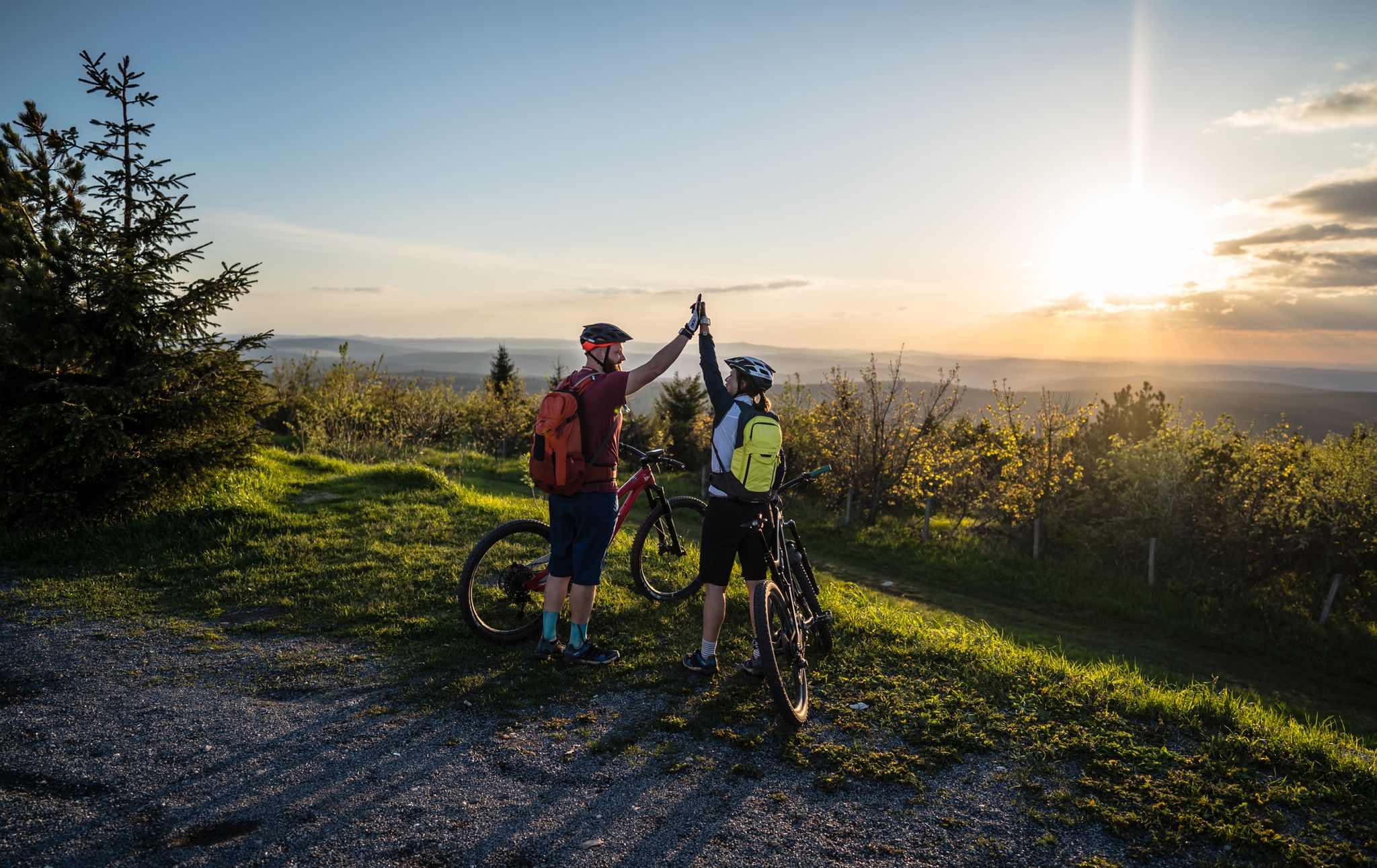
Flying high on two wheels – bike holidays in the Ore Mountains

History meets nature – Erzgebirge-Vogtland Ridge Trail
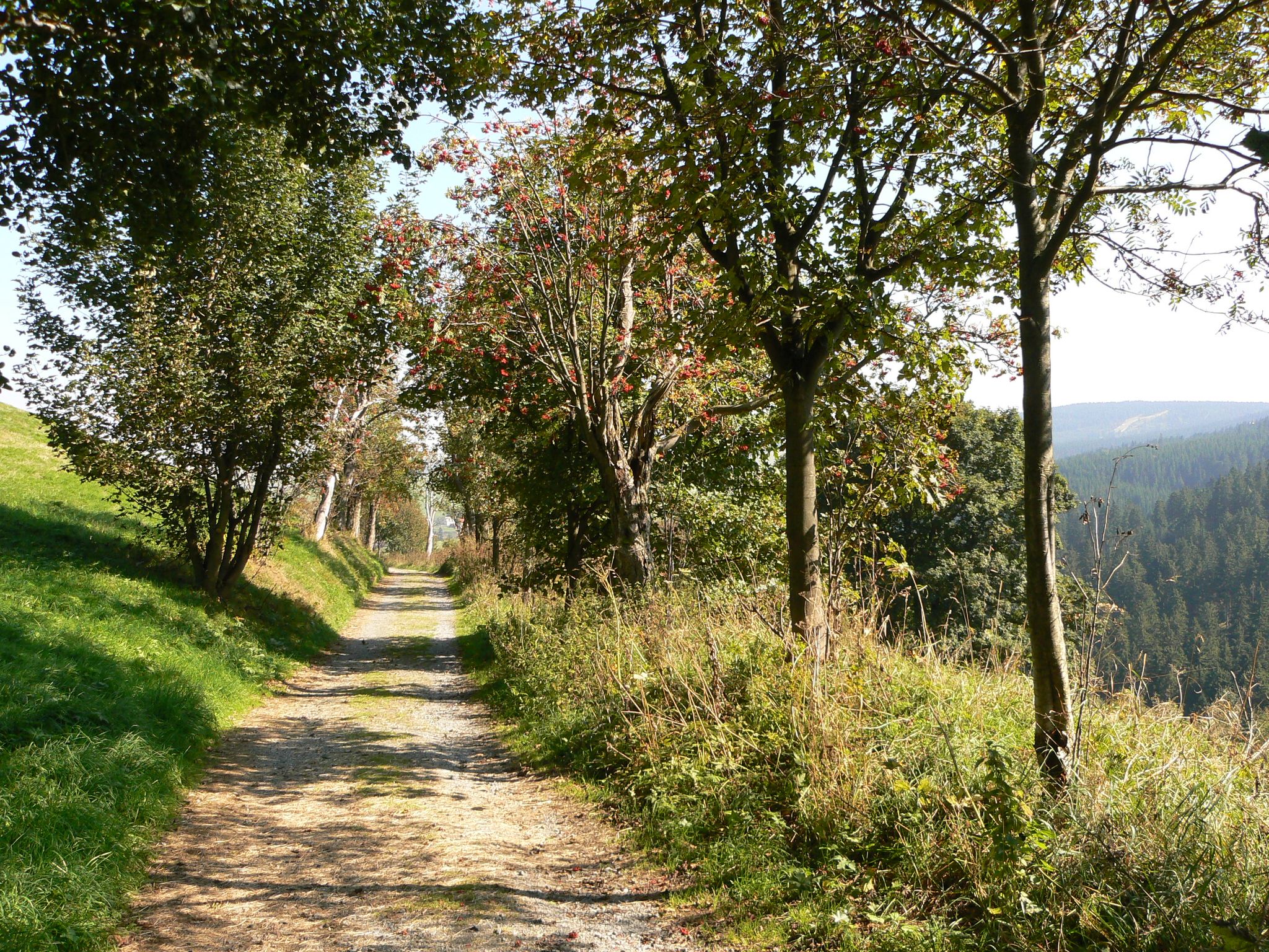
The Anton-Günther-Trail — a long weekend in the Ore Mountains
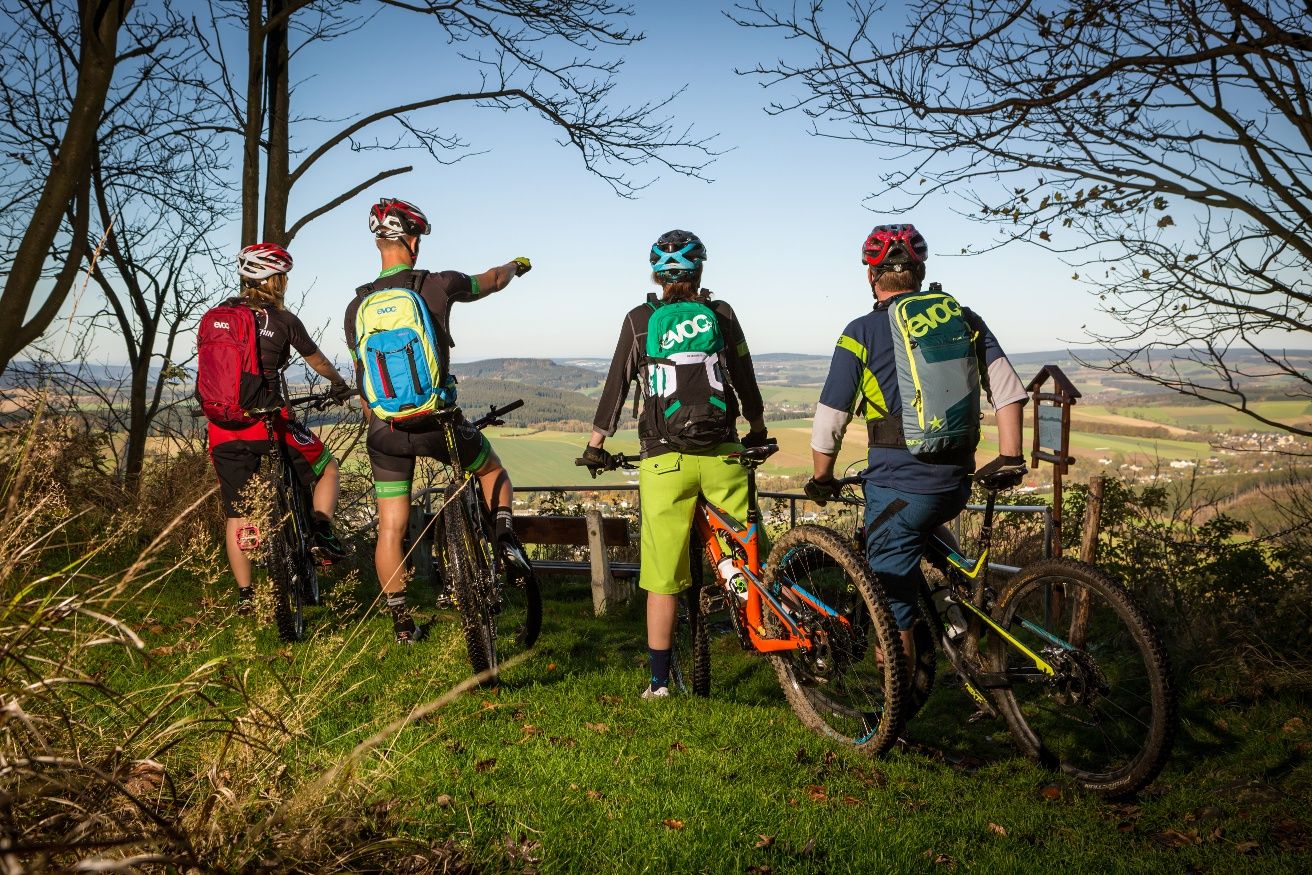
Stoneman Miriquidi MTB Gesamtstrecke (3 Tage - Bronze)
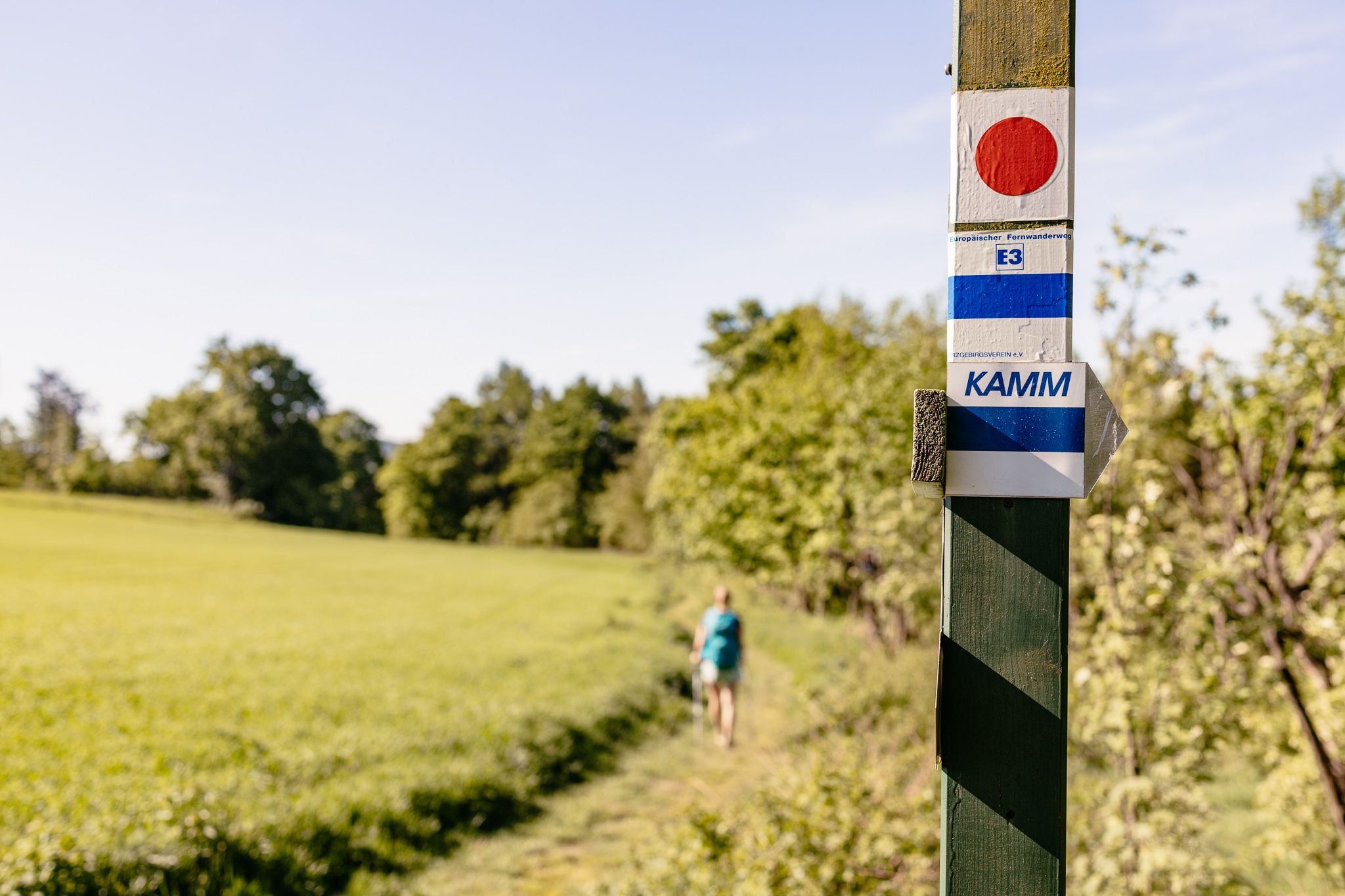
Der Kammweg Erzgebirge-Vogtland aus Sicht einer Bloggerin
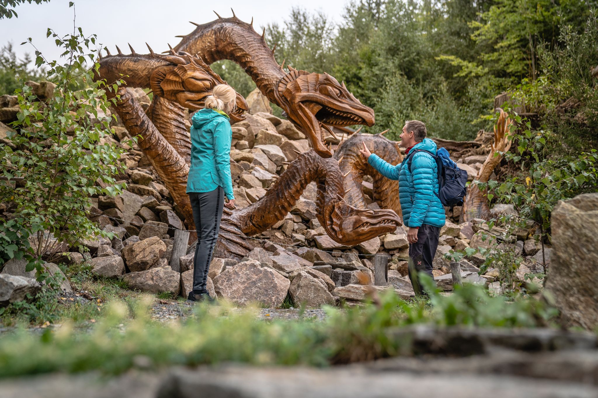
Wandertouren - Handwerk & Heimatgenuss
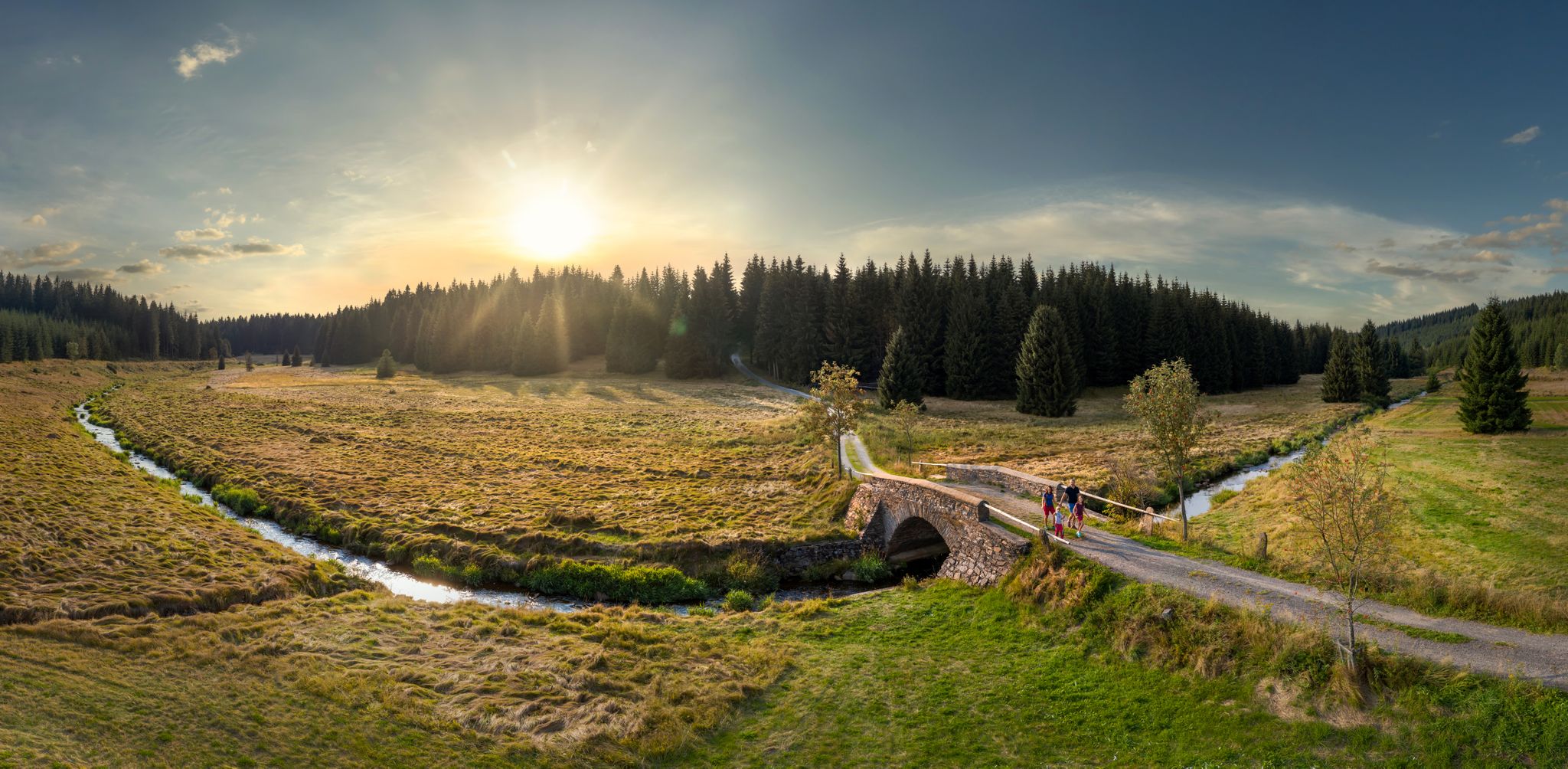
Wandertouren - Flusstäler & Talsperren
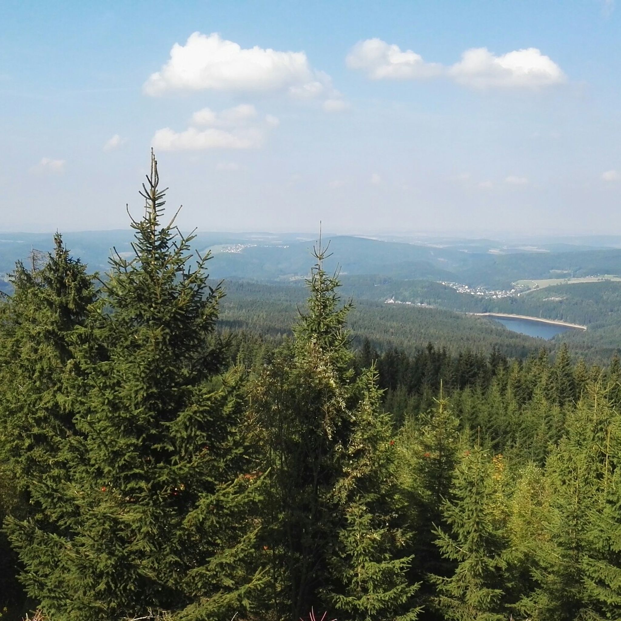
Hiking around Johanngeorgenstadt
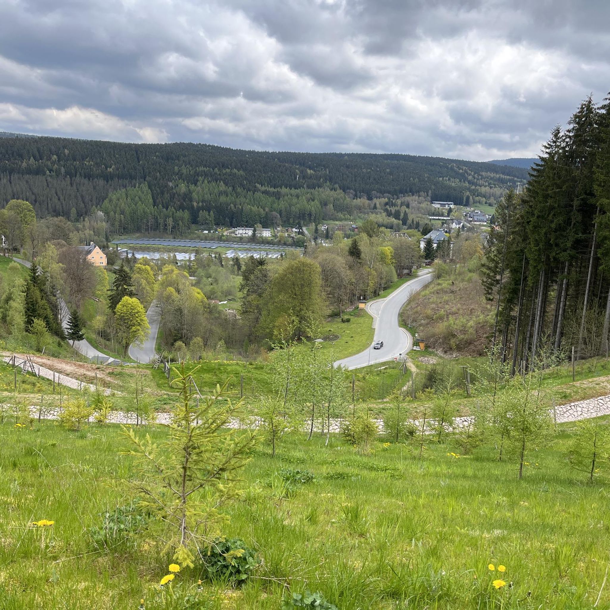
Cycling around Johanngeorgenstadt
Running Trails around Johanngeorgenstadt
Other adventures around Johanngeorgenstadt


Tips from the Community

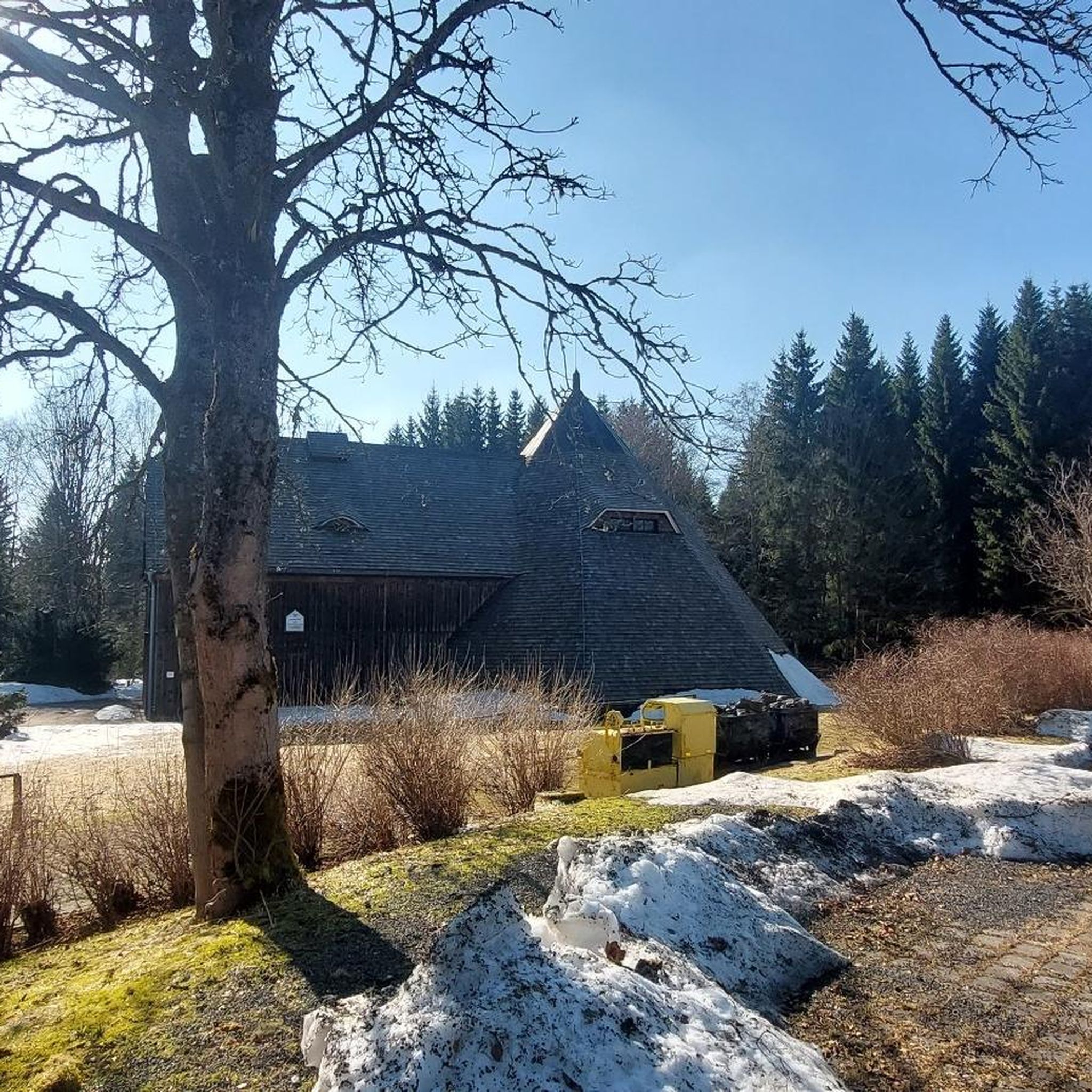
Idyllically located on a larger clearing in the forest. This was formerly the small village of Brettmühl, where there was also a swimming pool.
0
0

It is fantastically beautiful here 😃.
0
1
It is fantastically beautiful here 😃.
0
1

World's Largest Freestanding Candle Arch On December 15, 2012, the world's largest freestanding candle arch was inaugurated in Johanngeorgenstadt at the 20th Original Johanngeorgenstadt Candle Arch Festival. This giant is 25 meters wide and, including the candles, 14.5 meters high, and consists of 700 tons of reinforced concrete and 15 tons of stainless steel. The new attraction, as well as the giant pyramid, was donated by Johanngeorgenstadt entrepreneur Siegfried Ott. - Symbols in the candle arch: ° Wonder flower represents the legends of the Ore Mountains. ° Lacemaker represents one aspect of Ore Mountain folk art. ° Miners represent mining in Saxony. ° Upward-reaching flower signifies that folk art found fertile ground in the Ore Mountains. ° Crossed swords symbolize the Free State of Saxony. The horseshoe is a reminder that a mountain blacksmith invented the Schwibbogen (candle arch). The hammer and chisel are further symbols of mining. The light angel, woodcarver, and incense smoker represent the folk art of the Ore Mountains.
0
0

The "Dangerous Descent" isn't for bikers, but for those using the Kammloipe trail. I think there's probably a lot of cross-country skiers here 😅. It's a cool descent on a bike.
1
0


The dam dams the Schwarzwasser. It was built to supply water to mines and was put into operation in 1959. The Plattner Graben runs to the south.
4
0
Frequently Asked Questions
What kind of mountain bike trails can I expect around Johanngeorgenstadt?
The region offers a diverse network of mountain bike trails, ranging from challenging single tracks to more relaxed forest paths. You'll find rolling hills and dense forests, with elevations between 700 and 1,000 meters. The trails cater to various skill levels, from easy to difficult.
How many mountain bike trails are available in Johanngeorgenstadt?
There are over 35 mountain bike trails around Johanngeorgenstadt listed on komoot, offering a wide variety of options for different skill levels and preferences.
Are there easy mountain bike trails suitable for beginners or families?
Yes, Johanngeorgenstadt has several easy mountain bike trails. For instance, the Butterweg/middle wing rest area (950 m) – Kranichsee Pond loop from Johanngeorgenstadt is an easy 22.3 km route that takes about 1 hour 35 minutes to complete, perfect for a more relaxed ride.
What are some challenging mountain bike routes for experienced riders?
For experienced riders seeking a challenge, the Klinovec Summit Buildings – God's Trail loop from Johanngeorgenstadt is a difficult 73.3 km trail with significant climbs, taking over 6 hours to complete. This route offers expansive views and cross-border exploration.
What natural features or landmarks can I see while mountain biking in the area?
You can encounter several natural features and landmarks. The Auersberg Summit and Observation Tower offers expansive views, and the Steinbachtal features the bizarre rock formations known as 'Teufelssteine'. You might also pass by scenic reservoirs like Sosa Reservoir or the impressive Blauenthal Waterfall.
When is the best time of year for mountain biking in Johanngeorgenstadt?
Spring and autumn are generally considered the best times for mountain biking in Johanngeorgenstadt due to pleasantly mild temperatures. While the region is known for winter sports, the warmer months offer ideal conditions for cycling.
Are there any mountain bike trails that form a loop?
Yes, many of the mountain bike trails around Johanngeorgenstadt are designed as loops. For example, the View of Rammelsberg – Aschberg Alm loop from Johanngeorgenstadt is a popular 39.8 km loop that takes you through scenic parts of the Ore Mountains.
Can I bring my dog on the mountain bike trails around Johanngeorgenstadt?
Generally, dogs are welcome on mountain bike trails in the region. However, it's always recommended to keep your dog on a leash, especially in forested areas or near wildlife, and to respect local regulations or signage.
What do other mountain bikers enjoy most about the trails in Johanngeorgenstadt?
The trails are highly rated by the komoot community, with an average score of 4.6 stars. Riders often praise the diverse terrain, the extensive forested areas, and the well-marked network of trails that cater to all skill levels.
Are there any trails that cross the border into the Czech Republic?
Yes, Johanngeorgenstadt's location directly on the border with the Czech Republic allows for cross-border exploration. The Klinovec Summit Buildings – God's Trail loop from Johanngeorgenstadt is one such route that takes you into the neighboring country, offering unique views and experiences.
Are there mountain bike trails that pass by cafes or places to eat?
While specific cafes directly on every trail are not guaranteed, many routes, such as the Butterweg/middle wing rest area (950 m) – Henneberg Inn loop from Johanngeorgenstadt, pass by or near inns and rest areas where you can find refreshments. It's advisable to check the route details for specific points of interest.
Where can I find parking for mountain biking in Johanngeorgenstadt?
Johanngeorgenstadt is well-equipped for outdoor enthusiasts. You'll typically find designated parking areas near trailheads or within the town center, providing convenient access to the mountain biking network. Specific parking information can often be found on local tourism websites or within individual komoot tour descriptions.
Most popular routes around Johanngeorgenstadt
Most popular attractions around Johanngeorgenstadt

Get inspired with the komoot mobile app


Explore more
Browse the best MTB trails in other regions.
