The best road cycling routes around Johanngeorgenstadt
4.8
(54)
1,082
riders
12
rides
Road cycling routes around Johanngeorgenstadt are set within the Ore Mountains (Erzgebirge), offering diverse terrain at elevations between 700 and 1,000 meters. The region features rolling hills and dense forests, providing both challenging climbs and enjoyable descents on mostly paved surfaces. Its location bordering the Czech Republic allows for cross-border cycling experiences, with routes often including high moors and water bodies like the Carlsfeld Dam.
Best road cycling routes around Johanngeorgenstadt
- The most popular road cycling route is Fichtelberg Weather…
Last updated: September 29, 2026
4.8
(12)
130
riders
71.8km
03:33
1,090m
1,090m
Hard road ride. Very good fitness required. Mostly well-paved surfaces and easy to ride.
5.0
(1)
43
riders
57.1km
02:52
910m
910m
Hard road ride. Very good fitness required. Mostly well-paved surfaces and easy to ride.

5.0
(1)
21
riders
33.4km
01:44
590m
590m
Moderate road ride. Good fitness required. Some segments of this route may be unpaved and difficult to ride.
21
riders
38.8km
02:01
720m
720m
Moderate road ride. Good fitness required. Mostly well-paved surfaces and easy to ride.
5.0
(1)
7
riders
Moderate road ride. Good fitness required. Mostly well-paved surfaces and easy to ride.
Get access to more routes and recommendations from other explorers.
Already have an account?
Our route recommendations are based on thousands of hikes, rides, and runs completed by other people on komoot.
Start today with a free account
Your next adventure awaits.
Popular around Johanngeorgenstadt
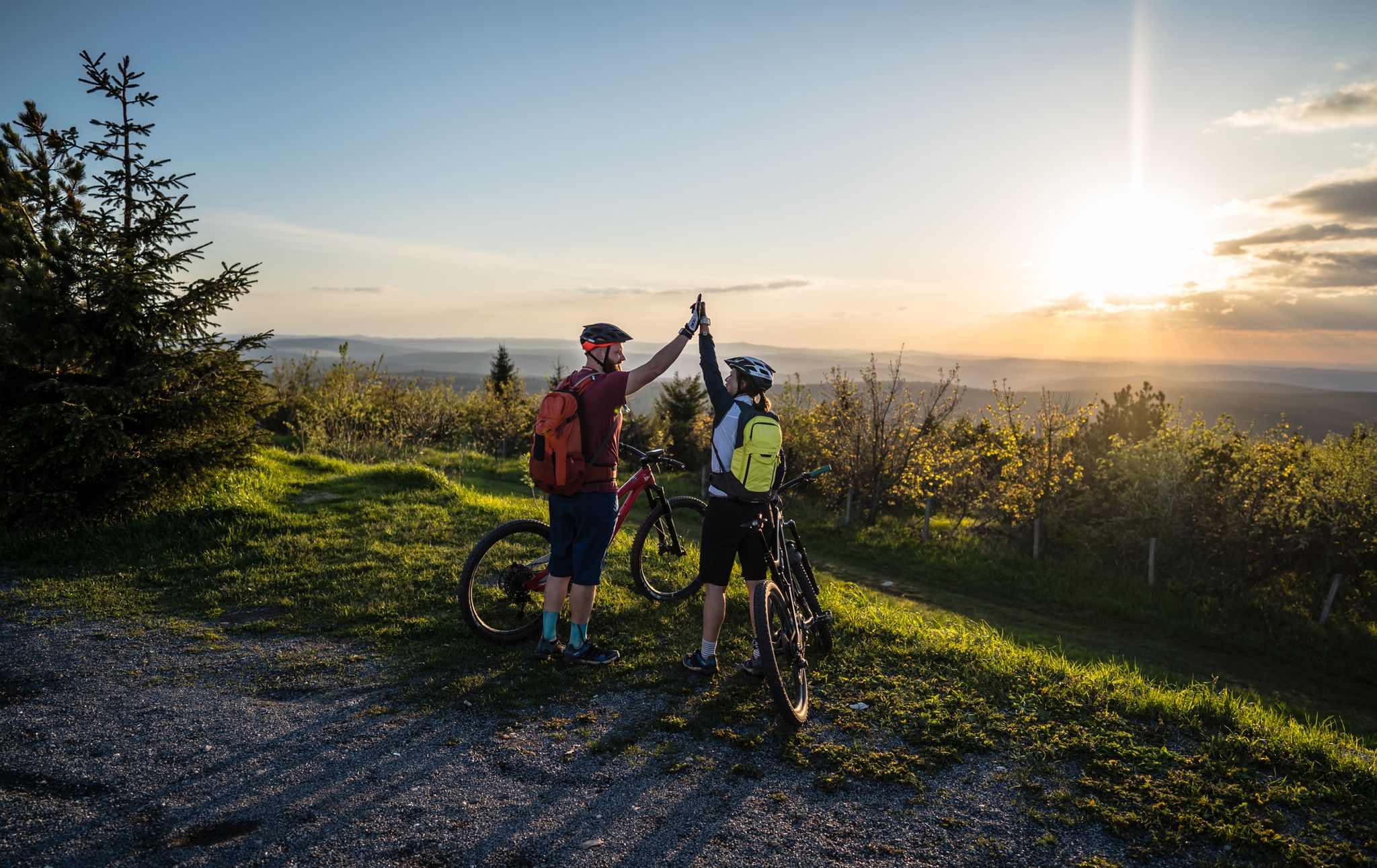
Flying high on two wheels – bike holidays in the Ore Mountains

History meets nature – Erzgebirge-Vogtland Ridge Trail
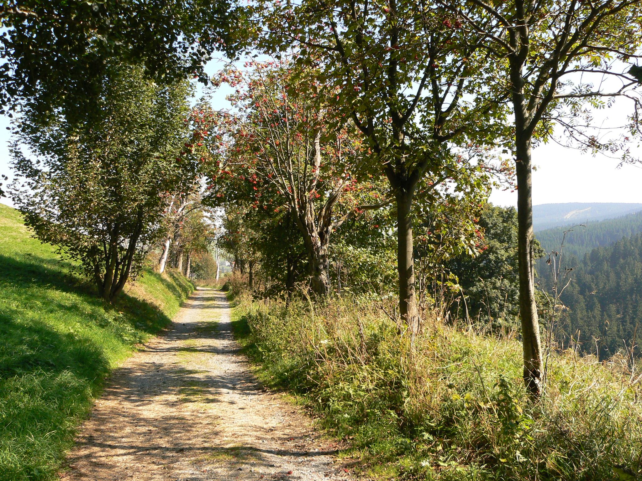
The Anton-Günther-Trail — a long weekend in the Ore Mountains
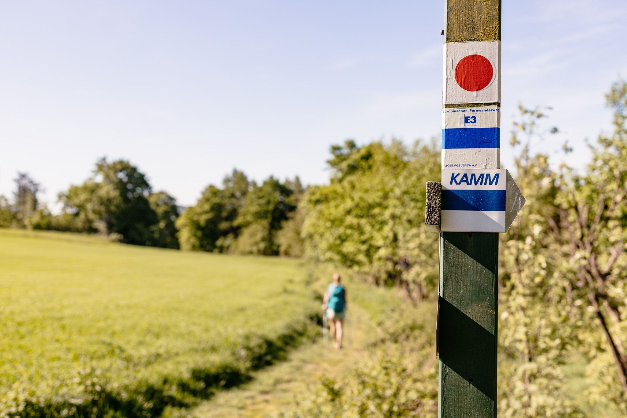
Der Kammweg Erzgebirge-Vogtland aus Sicht einer Bloggerin
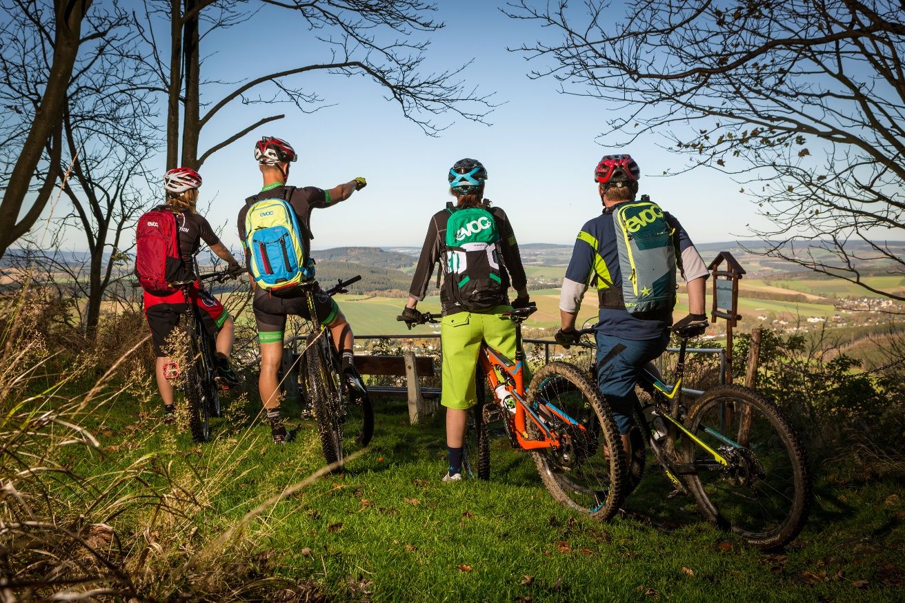
Stoneman Miriquidi MTB Gesamtstrecke (3 Tage - Bronze)
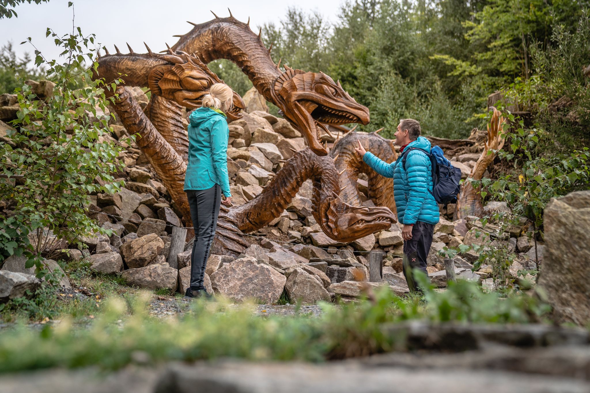
Wandertouren - Handwerk & Heimatgenuss
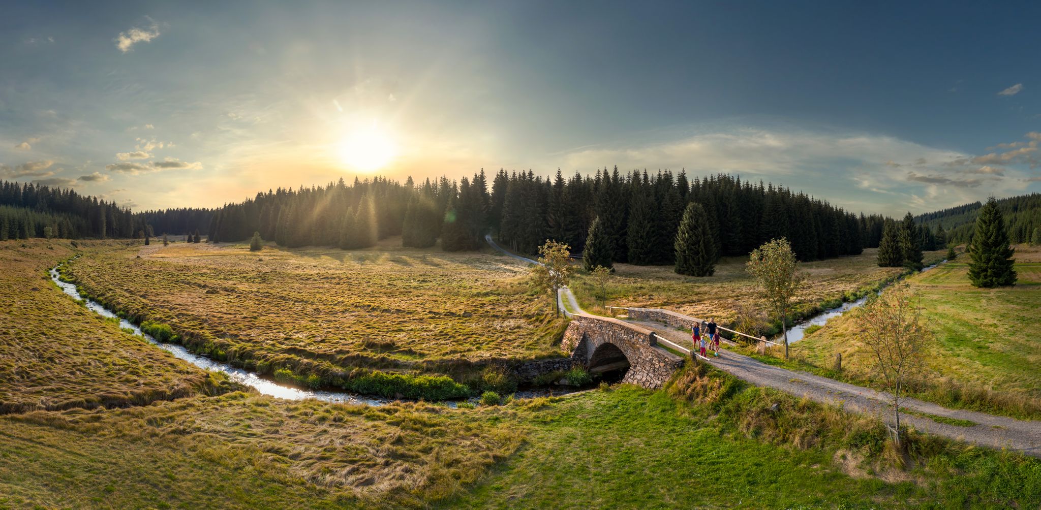
Wandertouren - Flusstäler & Talsperren
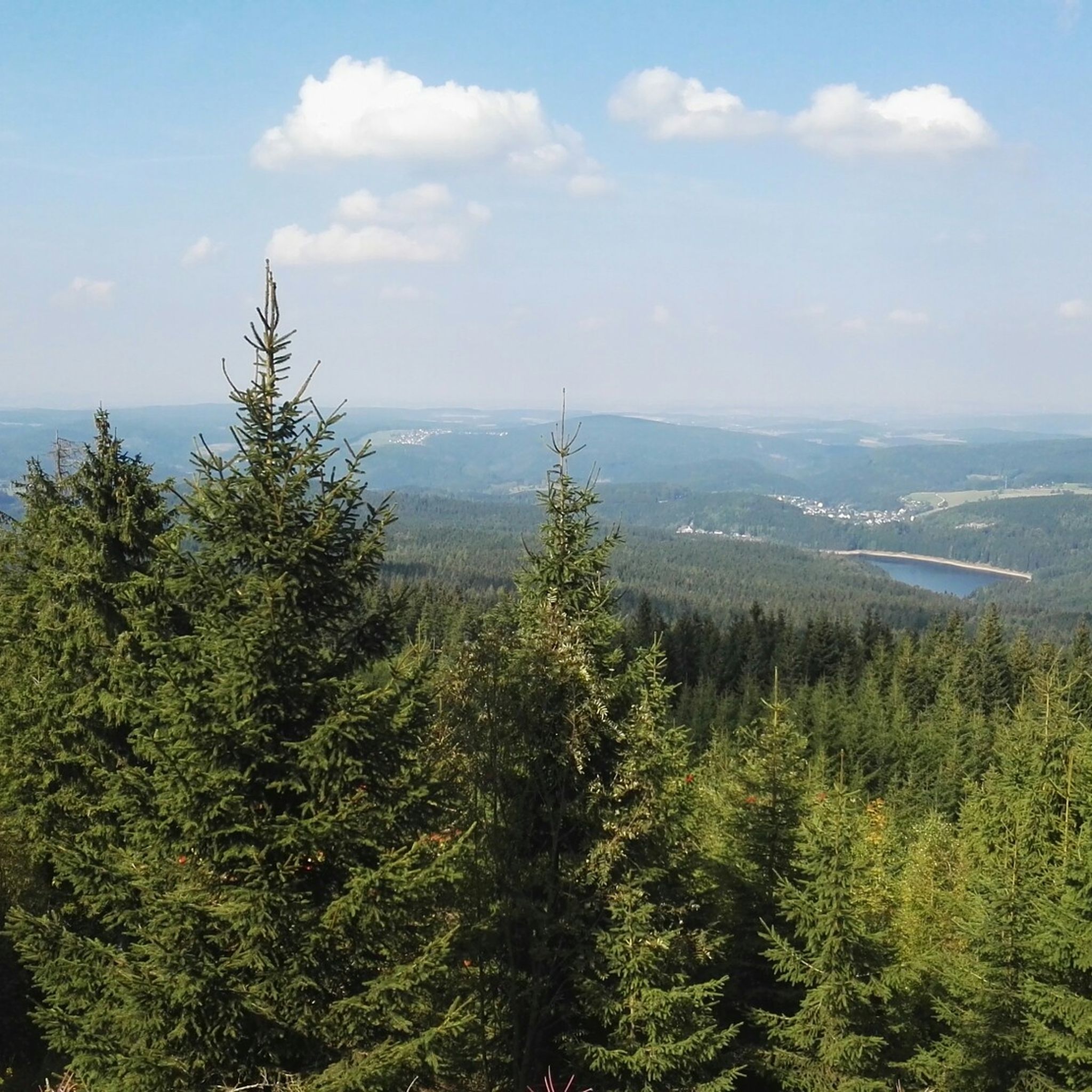
Hiking around Johanngeorgenstadt
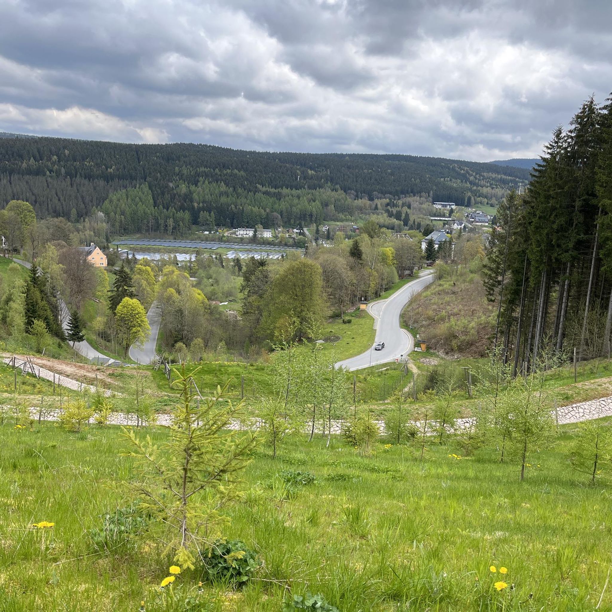
Cycling around Johanngeorgenstadt
MTB Trails around Johanngeorgenstadt
Other adventures around Johanngeorgenstadt


Tips from the Community

Here you can find something for astro fans.
0
0

A magnificent section that leads you past the striking rock formations of the Hefekloßfelsen on the Brandberg and along the Schwarzwasser through dense forests.
1
0


World's Largest Freestanding Candle Arch On December 15, 2012, the world's largest freestanding candle arch was inaugurated in Johanngeorgenstadt at the 20th Original Johanngeorgenstadt Candle Arch Festival. This giant is 25 meters wide and, including the candles, 14.5 meters high, and consists of 700 tons of reinforced concrete and 15 tons of stainless steel. The new attraction, as well as the giant pyramid, was donated by Johanngeorgenstadt entrepreneur Siegfried Ott. - Symbols in the candle arch: ° Wonder flower represents the legends of the Ore Mountains. ° Lacemaker represents one aspect of Ore Mountain folk art. ° Miners represent mining in Saxony. ° Upward-reaching flower signifies that folk art found fertile ground in the Ore Mountains. ° Crossed swords symbolize the Free State of Saxony. The horseshoe is a reminder that a mountain blacksmith invented the Schwibbogen (candle arch). The hammer and chisel are further symbols of mining. The light angel, woodcarver, and incense smoker represent the folk art of the Ore Mountains.
0
0


Commemoration The suffering of the people of Johanngeorgenstadt at that time, against the backdrop of the mining town's renewed threat of losing its identity. When land subsidence and uranium ore mining occurred, the GDR government, at the urging of the Soviet Union, decided in 1951 to demolish the historic town center.
0
0
the town of Elterlein. Beautifully decorated with fountains and flowers
1
0

With every step, closer to the summit – the Fichtelberg climb on the Stoneman Miriquidi Road. From the intersection, it's not far anymore, and motivation gets a final boost.
1
0
Frequently Asked Questions
How many road cycling routes are available in Johanngeorgenstadt?
There are over 70 road cycling routes around Johanngeorgenstadt, offering a wide range of options for different skill levels. The komoot community has explored these routes over 1,000 times, highlighting the region's popularity among cyclists.
Are there road cycling routes suitable for beginners or those looking for an easier ride?
Yes, Johanngeorgenstadt offers several easier road cycling routes. While the region is known for its rolling hills, there are 5 routes classified as easy, and 28 moderate routes that can be enjoyed by those with good basic fitness. These routes often feature mostly paved surfaces through scenic landscapes.
What kind of terrain can I expect on road cycling routes in Johanngeorgenstadt?
Road cycling in Johanngeorgenstadt is characterized by rolling hills and dense forests, with routes typically at elevations between 700 and 1,000 meters. You can expect a mix of challenging climbs and enjoyable descents, predominantly on paved surfaces. The region also features high moor areas and water bodies like the Carlsfeld Dam, adding to the varied scenery.
Are there any challenging road cycling routes for experienced riders?
Absolutely. For experienced road cyclists seeking a challenge, there are 39 difficult routes around Johanngeorgenstadt. A notable option is the Fichtelberg Weather Station – Fichtelberg Ascent loop from Johanngeorgenstadt, a 71.7 km route with significant elevation gain towards Fichtelberg.
Can I find scenic road cycling routes with viewpoints in the region?
Many routes in Johanngeorgenstadt offer panoramic views of the Ore Mountains. For example, the View of Eibenstock Reservoir – Schönheide South Station loop from Johanngeorgenstadt provides beautiful reservoir vistas. You can also find routes with views of places like Jelení Meadow and the Fichtelberg area from the Czech side, such as the Fichtelberg Weather Station – Fichtelberg Ascent loop from Potůčky.
Are there any loop road cycling routes around Johanngeorgenstadt?
Yes, many road cycling routes in Johanngeorgenstadt are designed as loops, allowing you to start and end at the same point. Examples include the Fichtelberg Weather Station – Fichtelberg Ascent loop from Johanngeorgenstadt and the View of Eibenstock Reservoir – Schönheide South Station loop from Johanngeorgenstadt.
What is the best time of year for road cycling in Johanngeorgenstadt?
The region is particularly appealing for road cycling in spring and autumn due to mild temperatures and vibrant natural scenery. While routes are accessible in summer, these seasons offer optimal conditions for enjoying the rolling hills and dense forests.
Are there cross-border road cycling opportunities from Johanngeorgenstadt?
Yes, Johanngeorgenstadt's location bordering the Czech Republic provides unique cross-border cycling experiences. Routes like the Fichtelberg Weather Station – Fichtelberg Ascent loop from Potůčky allow you to explore the Fichtelberg area from the Czech side, and longer tours can extend towards the Bohemian spa center of Karlsbad (Karlovy Vary).
What interesting sights or landmarks can I see while road cycling in Johanngeorgenstadt?
Beyond the natural beauty, you can explore the historic town center of Johanngeorgenstadt with its charming half-timbered houses. Cultural landmarks include the world's largest open-air "Schwibbogen" and hand-carved Christmas Pyramid. The region's mining history is also evident at sites like the "Frisch Glück Glöckl" mine. For specific points of interest, consider visiting the Auersberg Summit and Observation Tower or the Henneberg Inn.
Are there places to stop for refreshments or cafes along the road cycling routes?
Yes, you can find places to stop for refreshments. The historic town center of Johanngeorgenstadt offers options, and some routes pass by establishments like the Henneberg Inn or the Auersberghaus, which also serves as a Stoneman Miriquidi checkpoint.
What do other road cyclists enjoy most about the routes in Johanngeorgenstadt?
The road cycling routes in Johanngeorgenstadt are highly rated by the komoot community, with an average score of 4.4 stars from over 40 reviews. Cyclists often praise the diverse terrain, the mix of challenging climbs and scenic descents, and the opportunity for cross-border rides through the beautiful Ore Mountains.
Most popular routes around Johanngeorgenstadt
Most popular attractions around Johanngeorgenstadt

Get inspired with the komoot mobile app


Explore more
Browse the best Road cycling routes in other regions.
