The best hikes from bus stations around Hattingen
4.5
(15197)
51,460
hikers
206
hikes
Bus station hiking trails around Hattingen offer access to a diverse landscape characterized by the Ruhr and Ennepe rivers, verdant hills, and extensive forests. The region features varied terrain, including the hilly Elfringhauser Schweiz with elevations up to 300 meters, deep stream valleys, and open meadows. Hattingen's geographical location provides a mix of riverside paths and more challenging ascents through its numerous green spaces.
Best bus station hiking trails around Hattingen
- The most popular bus station hiking route is View…
Last updated: August 20, 2026
4.5
(329)
1,012
hikers
13.3km
03:45
280m
280m
Moderate hike. Good fitness required. Easily-accessible paths. Suitable for all skill levels.
4.8
(58)
259
hikers
8.35km
02:19
150m
150m
Moderate hike. Good fitness required. Easily-accessible paths. Suitable for all skill levels.

Sign up for free
4.6
(82)
248
hikers
Moderate hike. Good fitness required. Mostly accessible paths. Sure-footedness required.
4.6
(45)
139
hikers
12.5km
03:32
270m
270m
Moderate hike. Good fitness required. Easily-accessible paths. Suitable for all skill levels.
4.5
(29)
160
hikers
Easy hike. Great for any fitness level. Easily-accessible paths. Suitable for all skill levels.
Get access to more routes and recommendations from other explorers.
Sign up for free
Already have an account?
Our route recommendations are based on thousands of hikes, rides, and runs completed by other people on komoot.
Start today with a free account
Your next adventure awaits.
Login or Signup
Popular around Hattingen
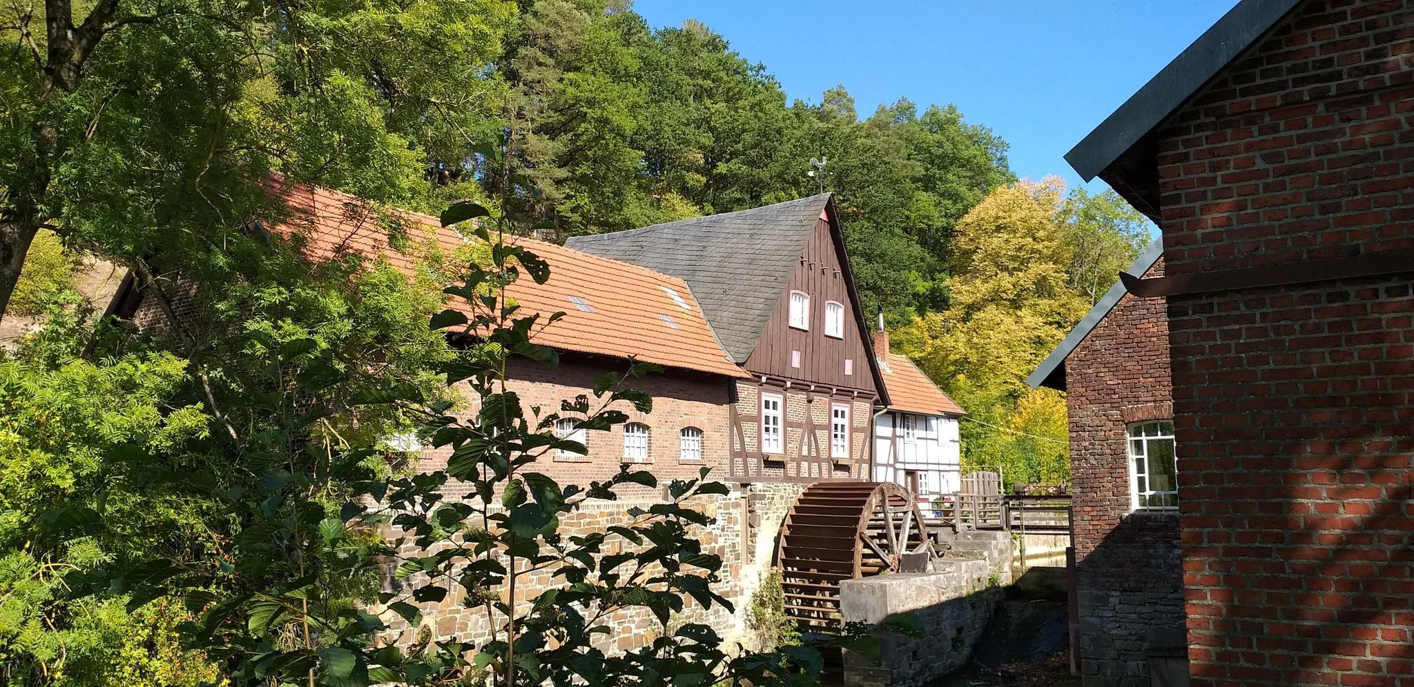
Hike through history in Germany’s Ruhr area – WestfalenWanderWeg
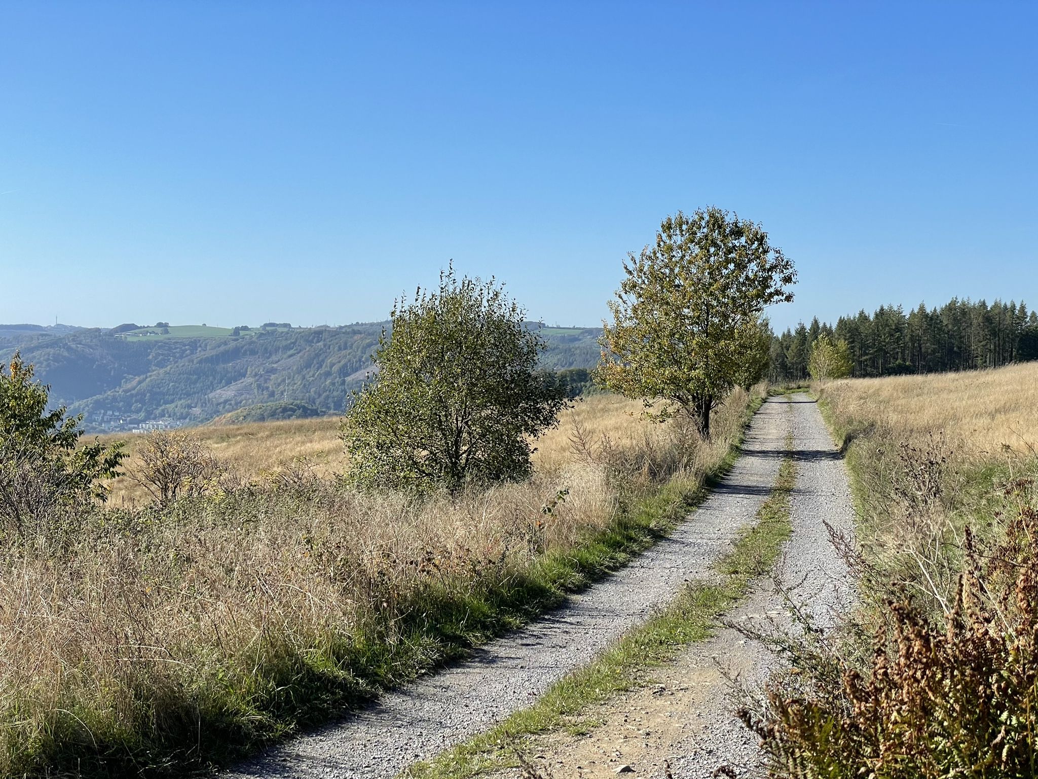
Harkortweg (X 17)
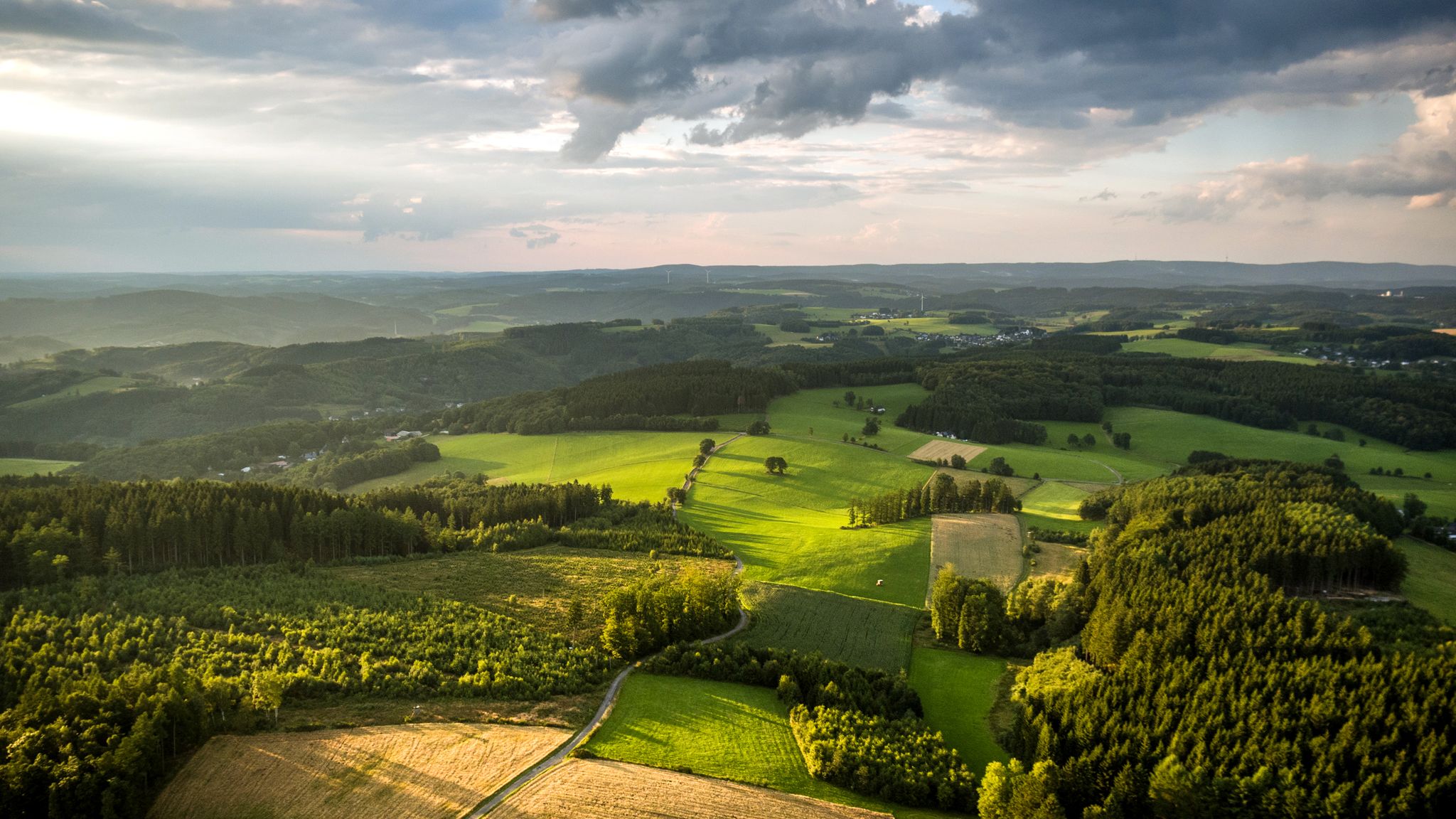
Panoramic adventures — explore Germany’s Bergisches Land
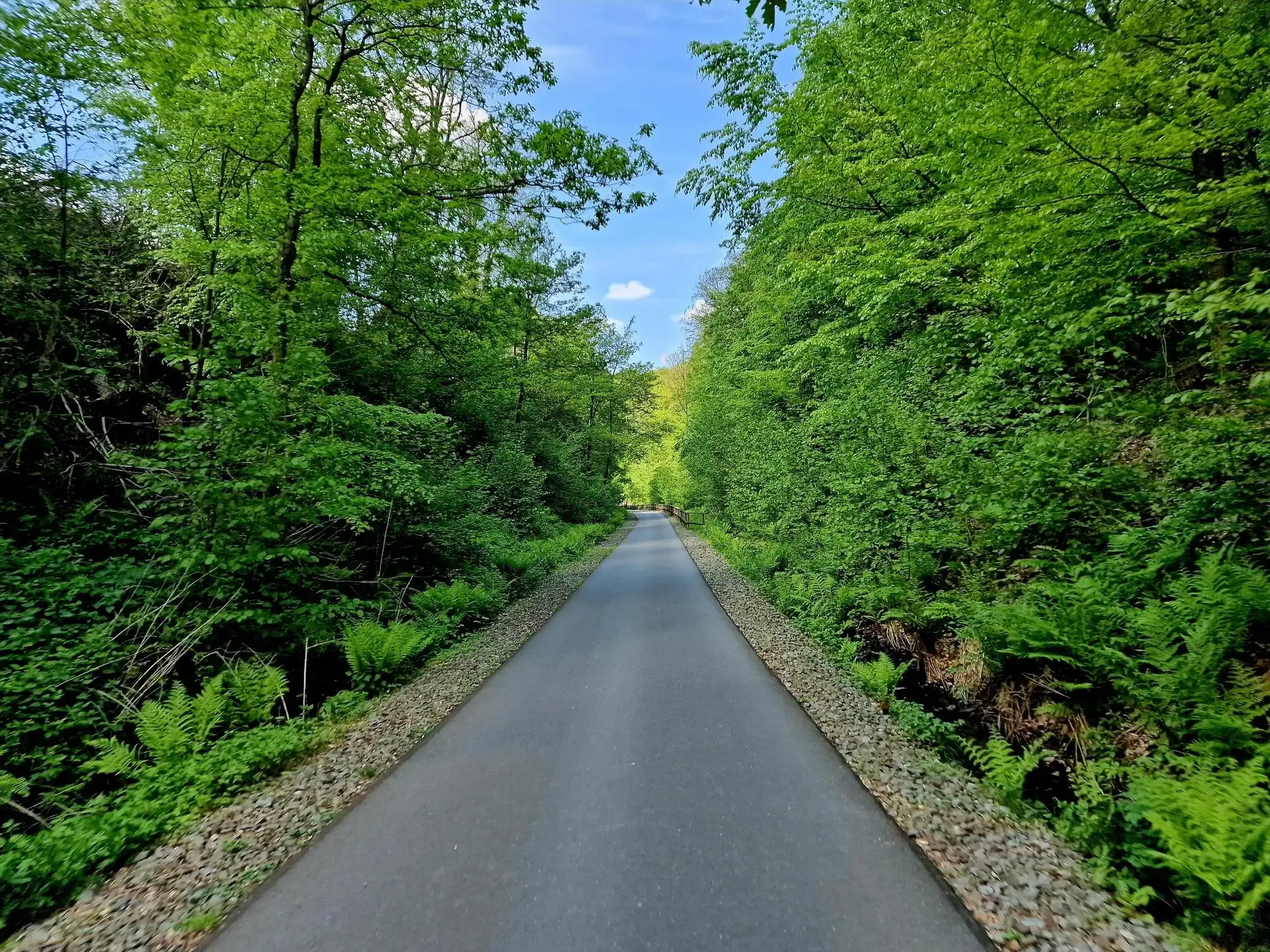
WHEW 100 – An Ultramarathon in three days in the middle of NRW
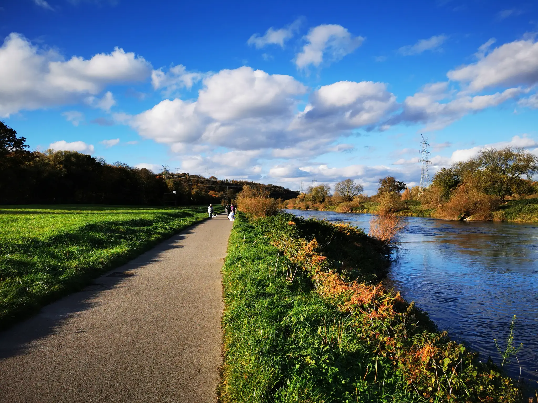
Ruhr Valley cycle path — 6 stages from Winterberg to the Rhine
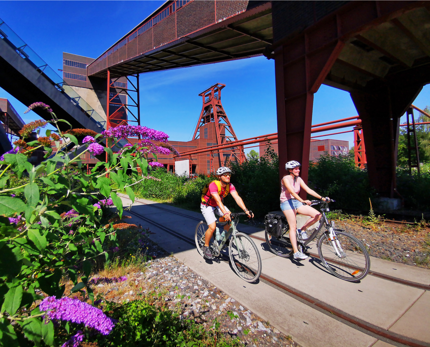
Railway cycling and industrial heritage in the Ruhr area – RevierRouten
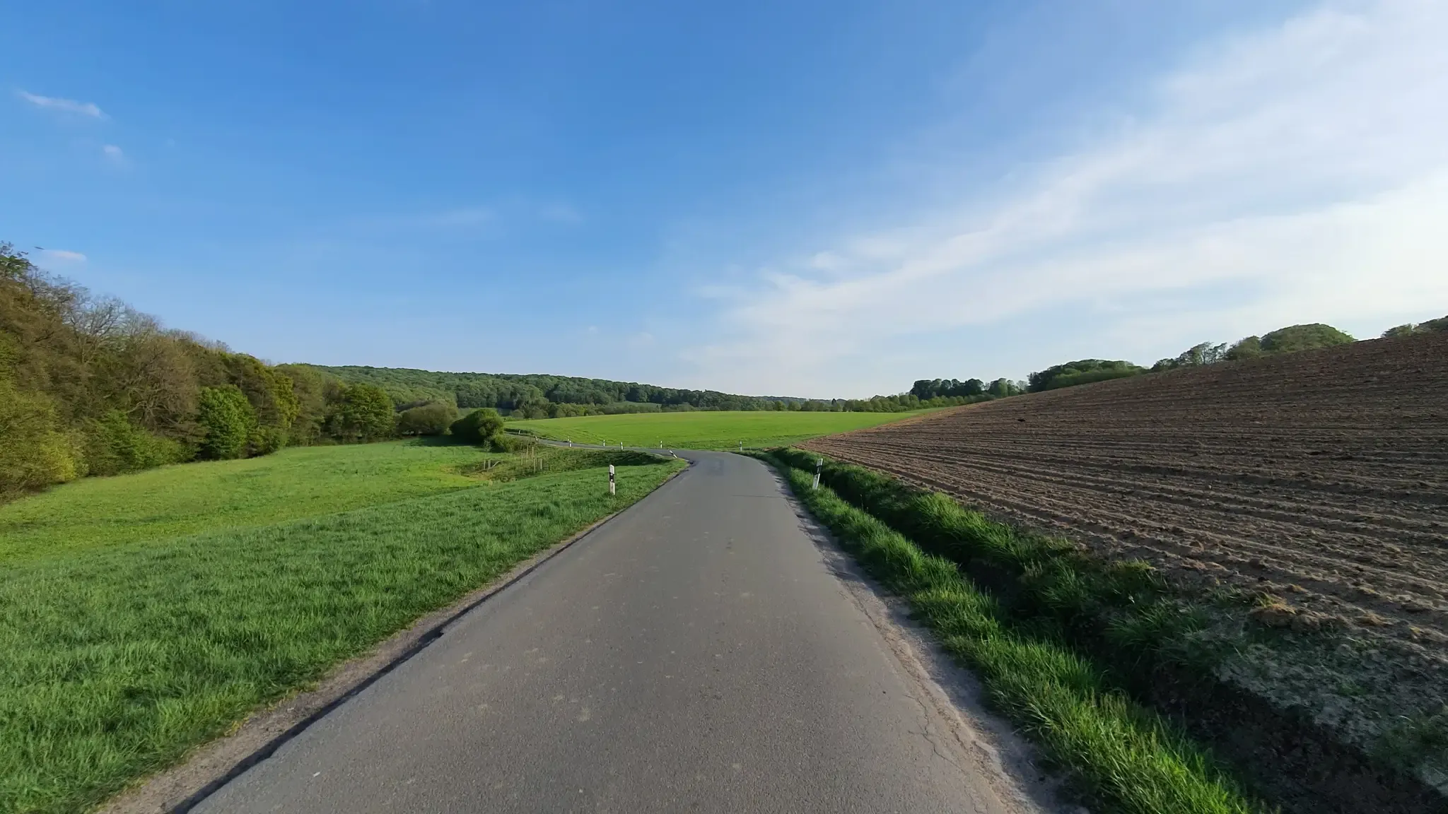
Hills, valleys and tracks – cycling in Elfringhauser Schweiz
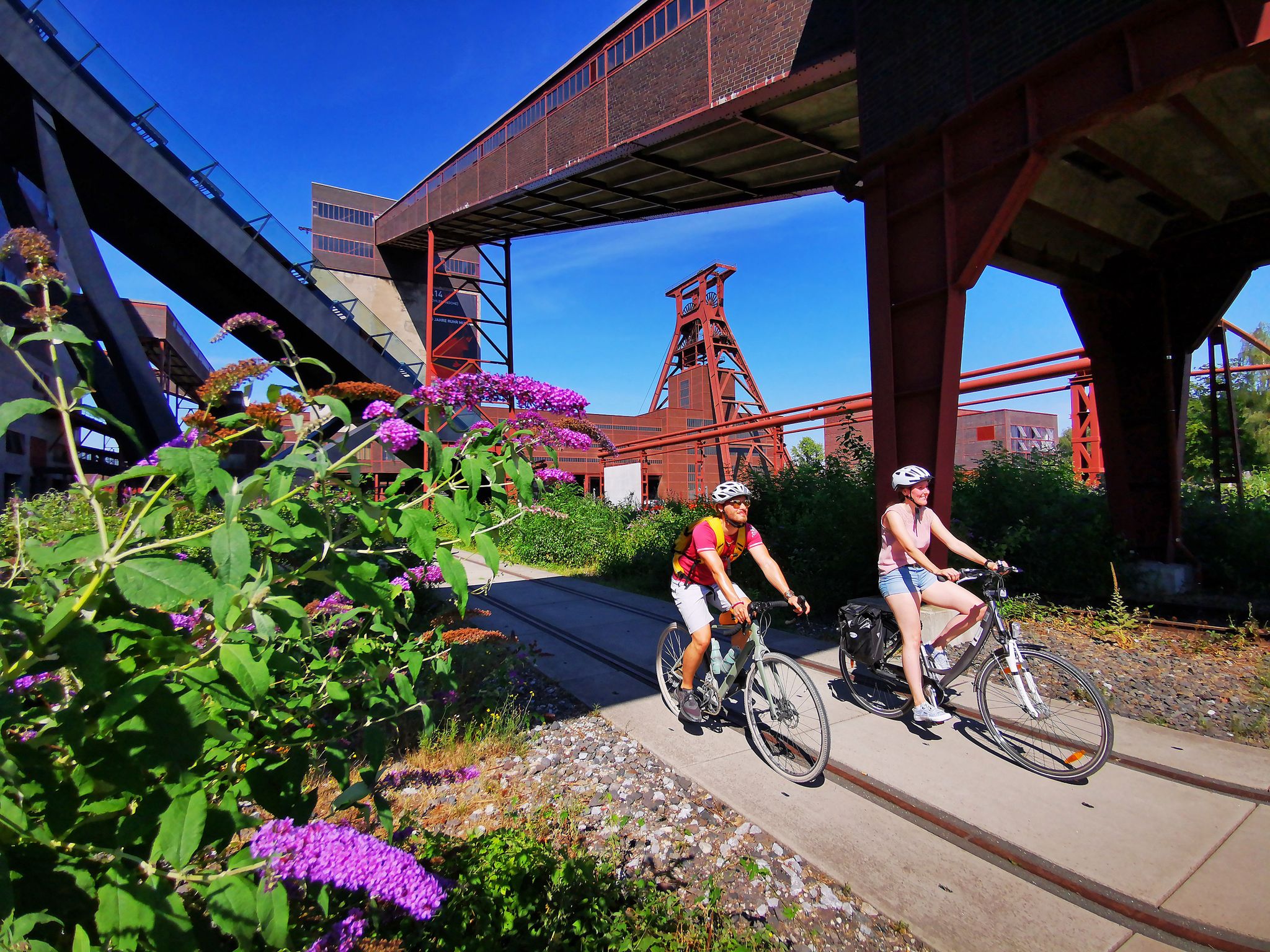
The RevierRouten in the radrevier.ruhr
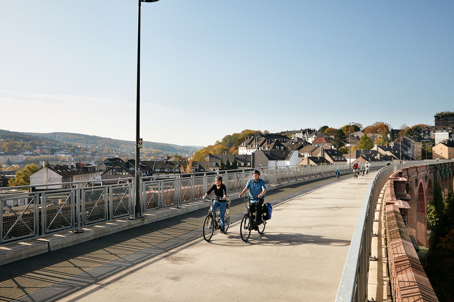
Railway lines & industrial heritage – Cycling through the Bergisches Land
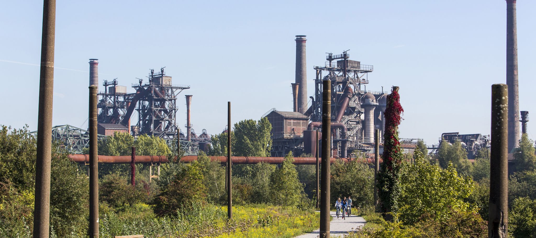
Industry, history, nature — a colorful journey through the radrevier.ruhr
Other adventures around Hattingen


Tips from the Community

When people still walked, the forest in Katzenstein was a popular local recreation area and also attracted many people from Bochum to the other side of the Ruhr.
4
0

The Hansberg in Hattingen is a popular destination for hikers and mountain bikers in the Ruhr area, located near the Elfringhauser Schweiz region. There are various routes and trails available.
0
0

a beautiful hiking trail with a view
0
0

A changing picture in every season 🍃 🍂 🍁. Wonderful peace and great views/panoramas ⛰️ to enjoy🍃 🎨📸. Every stressed soul can find peace here 💚.
5
0
A changing picture in every season 🍃 🍂 🍁. Wonderful peace and great views/panoramas ⛰️ to enjoy, a bit overgrown in summer 🍃 🎨📸. Every stressed soul can find peace here 💚.
3
0
A changing picture in every season 🍃 🍂 🍁. Wonderful peace and great views/panoramas ⛰️ to enjoy 🎨📸. Every stressed soul can find peace here 💚.
3
1
A changing picture in every season 🍃 🍂 🍁. Wonderful peace and great views/panoramas ⛰️ to enjoy 🎨📸. Every stressed soul can find peace here 💚.
3
0

The view of the Wodantal is beautiful and it is a great place to walk even when the temperatures are warm.
0
0
Frequently Asked Questions
How many bus-accessible hiking trails are available around Hattingen?
There are over 200 hiking routes around Hattingen that are easily accessible by bus. These trails cater to various fitness levels, from easy strolls to more challenging ascents, allowing you to explore the diverse landscapes of the Ruhr and Ennepe rivers, as well as the hilly Elfringhauser Schweiz.
Are there easy or family-friendly hiking options accessible by bus in Hattingen?
Yes, Hattingen offers many easy and family-friendly routes. For a gentle walk with scenic views, consider the View of the Ruhr Valley – View of Kemnader See loop from Alte Ruhr-Katzenstein. This easy 4.4 km route is perfect for families looking for a shorter outing. Many trails along the Ruhr Valley are also relatively flat and suitable for leisurely walks.
What kind of scenery can I expect on bus-accessible hikes in Hattingen?
Hattingen's bus-accessible hikes offer a rich variety of scenery. You'll find trails winding through deep stream valleys, dense forests, open meadows, and along the banks of the Ruhr River. The region is characterized by its hilly terrain, especially in the Elfringhauser Schweiz, providing panoramic views. Expect a blend of natural beauty and historical charm, with opportunities to see half-timbered houses and historic sites.
Are there any circular hiking routes that start and end near a bus station?
Many of the routes in this guide are circular, designed to start and end conveniently near public transport stops. For example, the View of the Ruhr Valley – Forest Pond Trail loop from Hattingen is a moderate 8.3 km circular route that offers beautiful forest and pond views, easily accessible from Hattingen's bus network.
What are some notable landmarks or attractions I can see along these bus-accessible trails?
Hattingen's trails often lead past interesting sights. You can explore the historic Blankenstein Castle, dating back to the 13th century, or discover the well-preserved medieval architecture in Hattingen's Old Town. Some routes might offer views of the Ruhr Valley from elevated points like the Bismarckturm. While hiking, you might also encounter highlights such as the Rheinelbe spoil heap or the Sky Staircase on Halde Rheinelbe, offering unique perspectives of the landscape.
Are there any challenging bus-accessible hikes in Hattingen for experienced hikers?
Yes, for those seeking a more challenging experience, Hattingen's hilly terrain provides options. The View of Am Schnüber – View of Felderbachtal loop from Hattingen is a moderate 13.2 km route with over 300 meters of elevation gain, offering a good workout and rewarding views of the Felderbachtal. The Elfringhauser Schweiz region, in particular, is known for its more demanding trails with significant elevation changes.
Can I bring my dog on these bus-accessible hiking trails?
Most hiking trails in and around Hattingen are dog-friendly, provided your dog is kept on a leash, especially in nature reserves or near livestock. Public transport rules for dogs vary, so it's advisable to check with the local bus operator regarding their pet policy before your trip. The extensive green spaces and forests offer plenty of opportunities for you and your canine companion to enjoy the outdoors.
What do other hikers say about the bus-accessible trails in Hattingen?
The komoot community highly rates the hiking experience in Hattingen, with an average score of 4.5 out of 5 stars from over 14,000 ratings. Hikers frequently praise the diverse landscapes, the well-maintained paths, and the convenience of accessing trails directly from bus stops. Many appreciate the blend of natural beauty with historical sights, making for a varied and enjoyable outdoor adventure.
Are there long-distance hiking trails in Hattingen that connect to bus routes?
Hattingen is integrated into several significant long-distance hiking routes, such as the Neanderlandsteig, the Westphalia Hiking Trail, and the Ruhrhöhenweg. While these are extensive trails, sections of them are often accessible via local bus connections, allowing you to tackle parts of these longer routes as day hikes. This provides an excellent opportunity to experience a segment of a larger adventure using public transport.
What is the best time of year to go hiking from bus stations in Hattingen?
Hattingen offers enjoyable hiking experiences throughout the year. Spring brings blooming flora and mild temperatures, while autumn showcases vibrant fall foliage, making both seasons particularly scenic. Summer is great for longer days, though some trails might be busier. Even in winter, with appropriate gear, the snow-dusted landscapes can be beautiful, and many paths remain accessible. Always check local weather conditions before heading out.
Are there any routes that offer views of the Ruhr Valley?
Absolutely. Given Hattingen's location along the Ruhr River, many trails provide stunning views of the Ruhr Valley. The View over the Woda Valley – Pingenweg (Diamond 9) Forest Trail loop from Hattingen, for instance, offers elevated perspectives of the surrounding landscape, including glimpses of the valley. The Bismarckturm also provides impressive panoramic views over the town and the Ruhr valley.
Most popular routes around Hattingen
Most popular attractions around Hattingen

Get inspired with the komoot mobile app


Explore more
Browse the best Hikes in other regions.
