The best hikes from bus stations in Landkreis Kulmbach
4.6
(12658)
45,156
hikers
968
hikes
Bus station hiking trails in Landkreis Kulmbach navigate a diverse landscape at the foot of the Franconian Forest, characterized by dense woodlands, river valleys, and elevated plateaus. The region features the confluence of the White Main and Red Main rivers, offering routes along their banks. Hikers can explore areas with varied topography, including the Juniper Valley and the Franconian Forest's quiet clearings.
Best bus station hiking trails in Landkreis Kulmbach
- The most popular bus station hiking route is Juniper Valley…
Last updated: August 20, 2026
4.7
(564)
1,647
hikers
7.09km
01:57
120m
120m
Easy hike. Great for any fitness level. Easily-accessible paths. Suitable for all skill levels.
4.7
(170)
607
hikers
11.1km
03:11
270m
270m
Moderate hike. Good fitness required. Easily-accessible paths. Suitable for all skill levels.

Sign up for free
4.7
(145)
531
hikers
7.64km
01:59
50m
50m
Easy hike. Great for any fitness level. Easily-accessible paths. Suitable for all skill levels.
4.7
(127)
484
hikers
Easy hike. Great for any fitness level. Easily-accessible paths. Suitable for all skill levels.
4.7
(108)
353
hikers
19.3km
05:35
490m
490m
Hard hike. Very good fitness required. Easily-accessible paths. Suitable for all skill levels.
Get access to more routes and recommendations from other explorers.
Sign up for free
Already have an account?
Our route recommendations are based on thousands of hikes, rides, and runs completed by other people on komoot.
Start today with a free account
Your next adventure awaits.
Login or Signup
Popular around Landkreis Kulmbach

Hikes from bus stations in Laitscher Wald
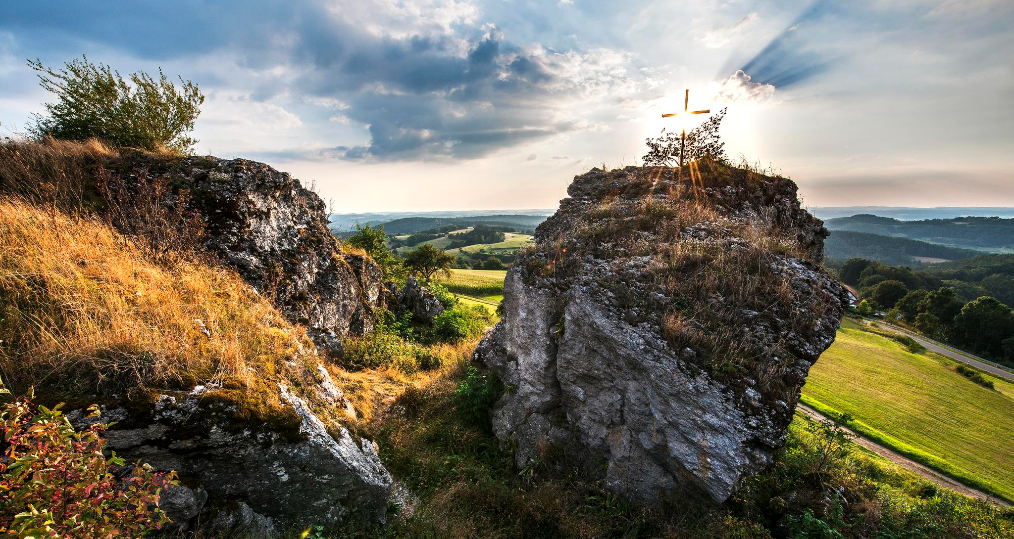
Fun hiking and wonderful views in Franconian Switzerland
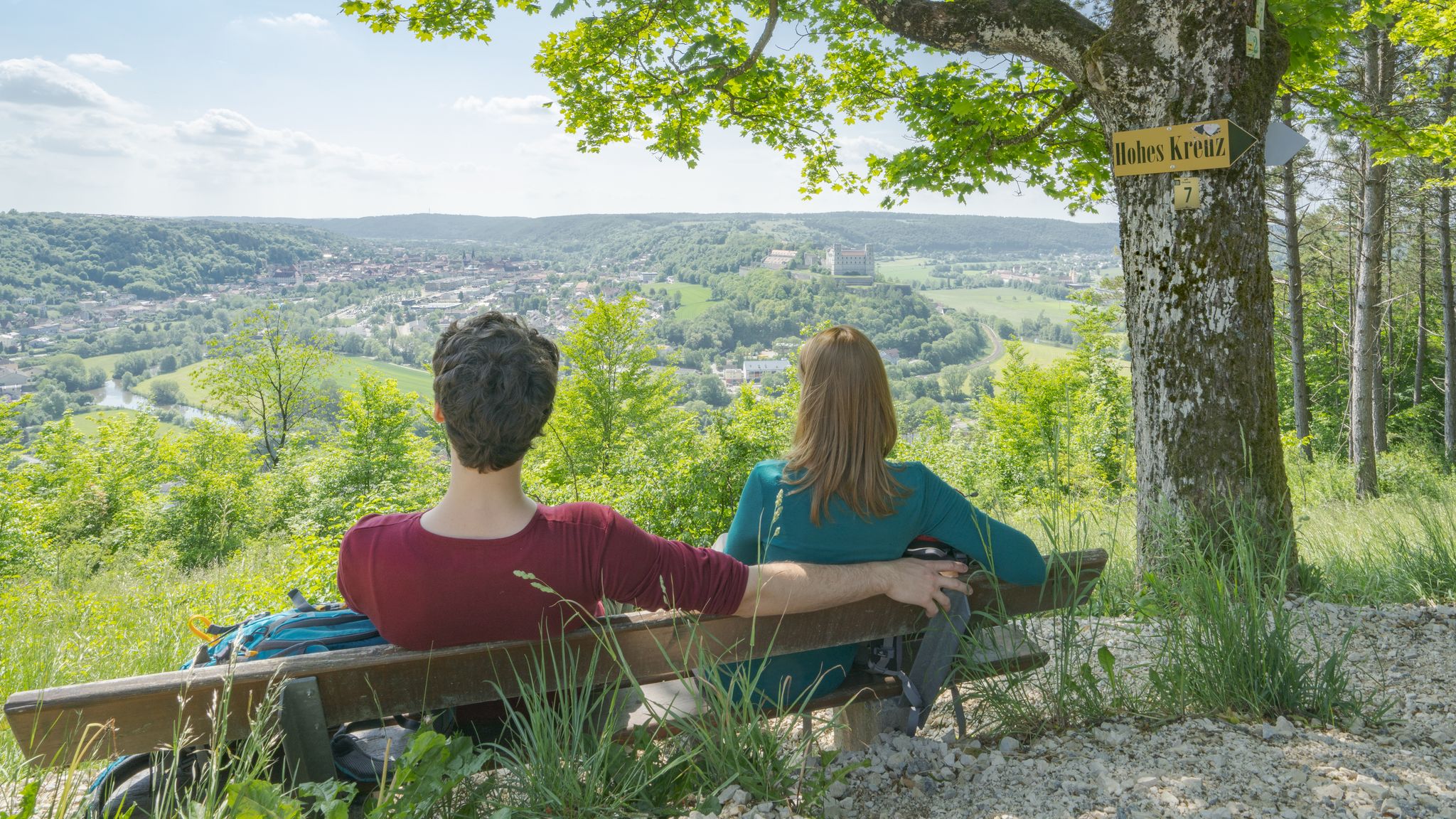
Pleasure, nature and culture – hiking around the Franconian towns

The Franconian Trail – A Diverse Hiking Dream Across 24 Stages
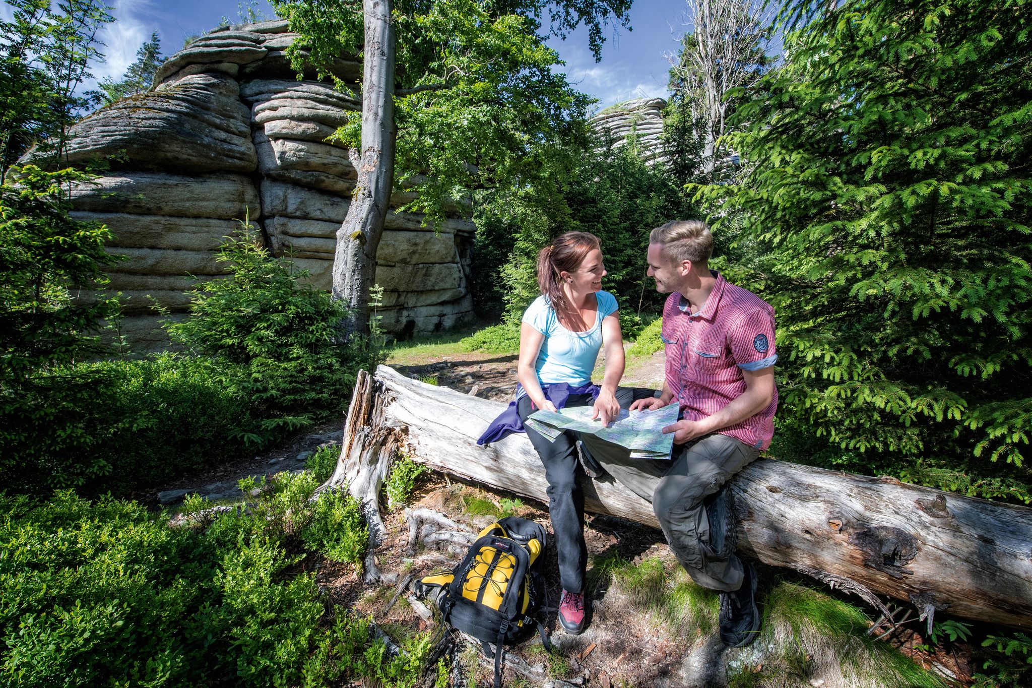
The Franconian Mountain Trail – 21 Stages of Magical Summit Bliss
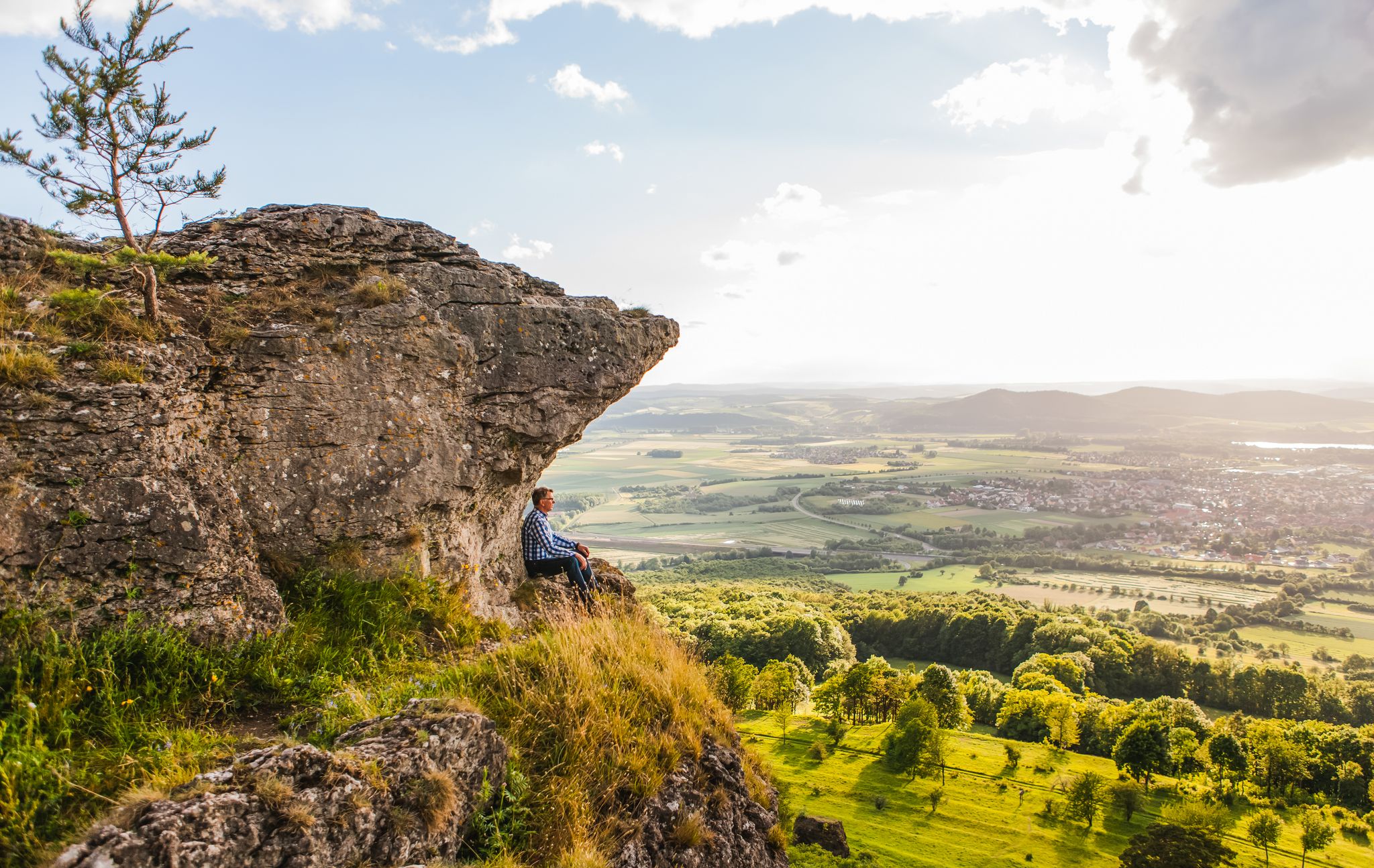
Our 10 favourite Tours through Upper Main’s Garden of Eden
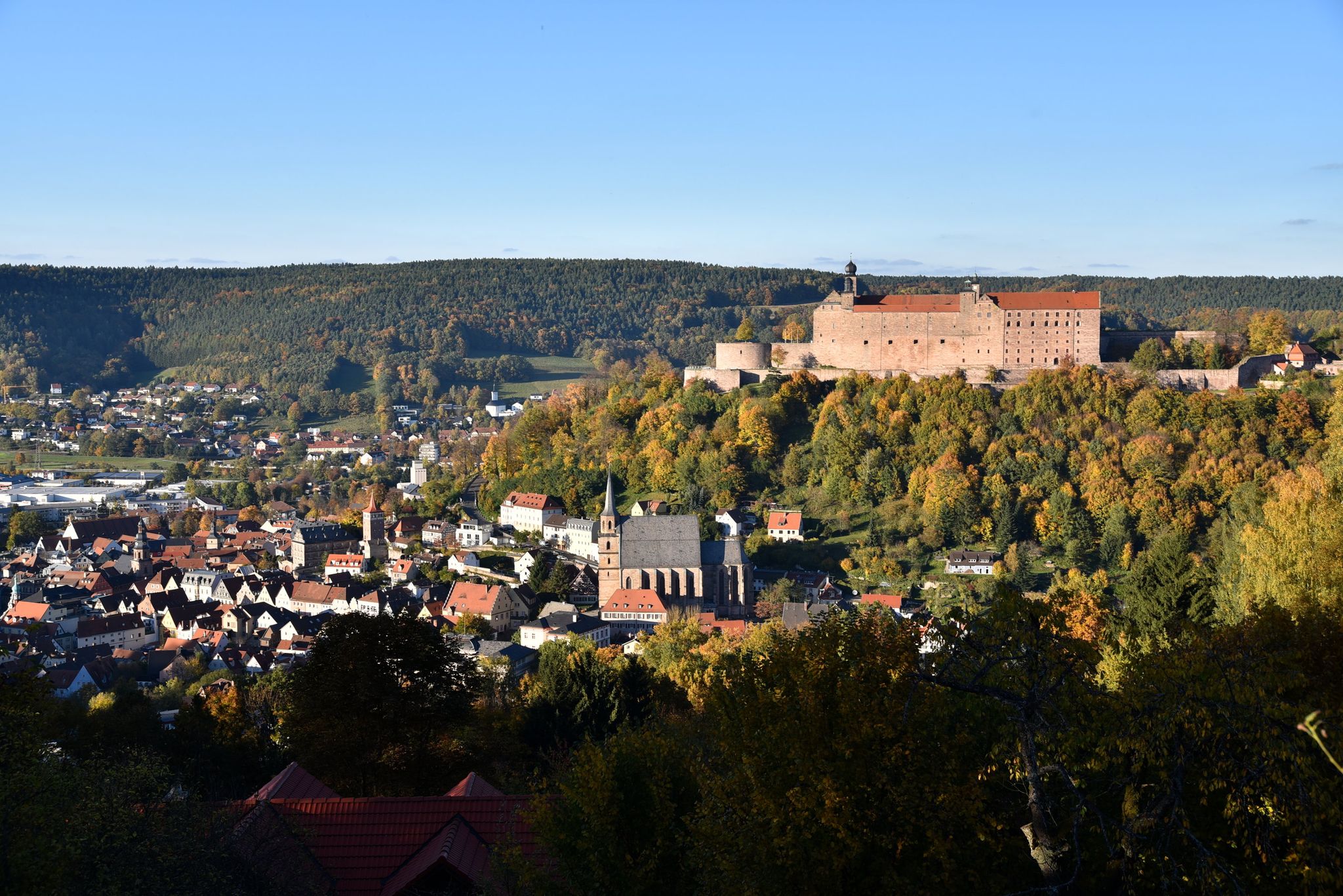
Stop by at the Margraves – hiking around Kulmbach in Bavaria
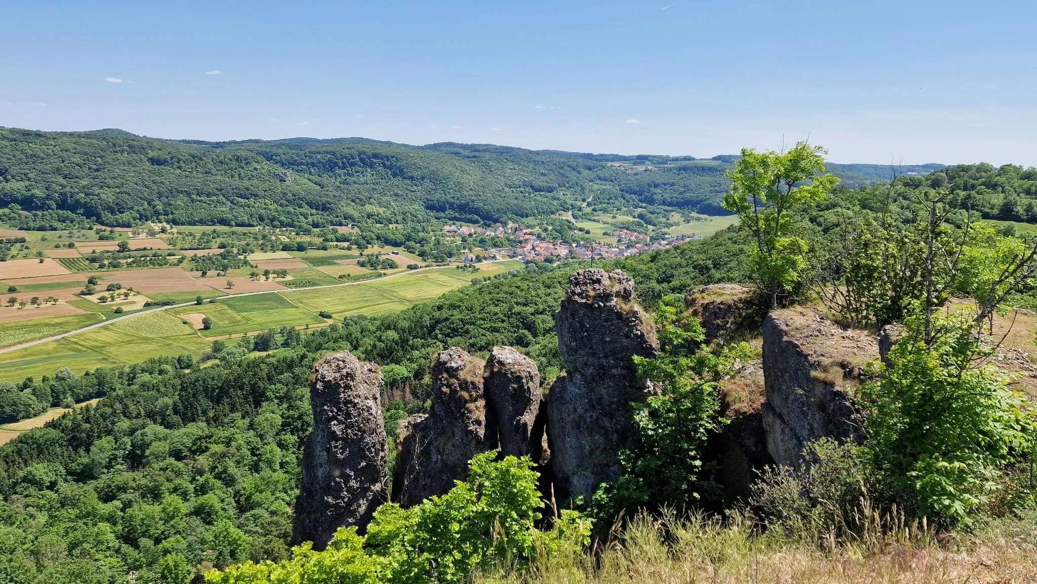
Delightful hiking in Franconian Switzerland

Cool down in Bavaria's lakes
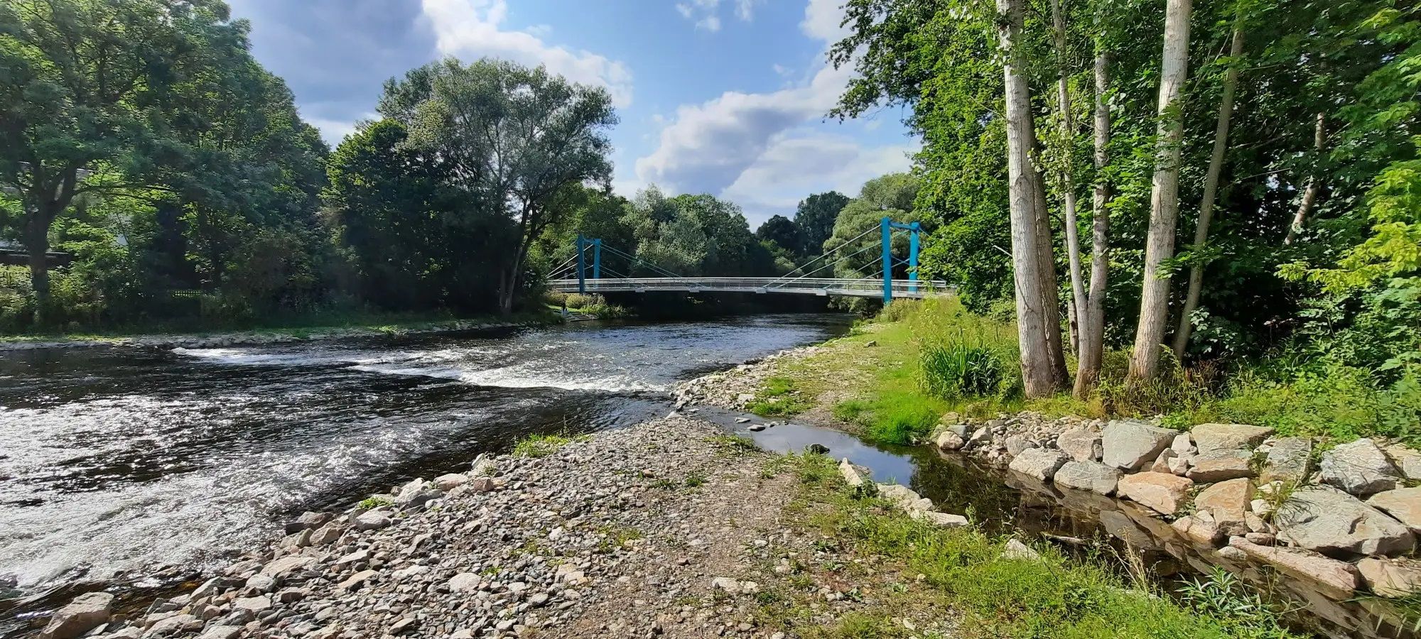
D-Route 11 – Baltic Sea - Upper Bavaria
Other adventures in Landkreis Kulmbach


Tips from the Community

A very beautiful bridge has been created here.
0
0

The ruin theater is built from fragments. It is a masterpiece of baroque staging that is still actively used today. Macbeth is still performed in the open-air theater nowadays.
9
0
Many lovers have taken it literally and carved their names or just their initials into the adjacent trees.
9
0

Imposing new construction of steel and wood. Height 40 m to the upper platform. For the kids, there is a great adventure course at the bottom.
2
0

Kieswäsch Lake is the ideal destination for those seeking relaxation just outside Kulmbach. Surrounded by meadows, the lake offers something for everyone: a level circular path invites you to stroll and hike. Those looking for more exercise will find excellent fitness equipment on a modern course. Large sunbathing lawns and a sandy beach at the lake create a true holiday atmosphere. For refreshments, there's a cozy beer garden right by the water.
13
0
This path is a tip for hikers looking for natural trails away from wide forest roads.
14
0
The Baroque Steinenhausen Castle was once owned by the von Guttenberg family, who sold it in 1935. In 1987, the castle became the property of the Free State of Bavaria. Today, the Kulmbach branch of the Bavarian State Office for the Environment is located in the building. An avenue of fruit trees has been planted along the driveway to the castle. The gardens are used for measuring equipment and small-scale nature conservation projects.
13
0
The narrow bridge over the Red Main leads to Steinenhausen Castle.
14
0
Frequently Asked Questions
How many bus station hiking trails are available in Landkreis Kulmbach?
There are nearly 1000 hiking routes in Landkreis Kulmbach that are accessible by bus, offering a wide range of options for all skill levels.
What kind of landscapes can I expect on bus-accessible hikes in Landkreis Kulmbach?
Landkreis Kulmbach, situated at the foot of the Franconian Forest and near the Fichtelgebirge Mountains and Franconian Switzerland, offers diverse landscapes. You'll find dense, quiet forests, serene clearings, elevated plateaus with expansive views, and trails along the Main River. The region is known for its picturesque natural features like the Steinach Gorge and unique rock formations.
Are there any easy, circular bus station hikes suitable for beginners?
Yes, there are many easy, circular routes accessible by bus. For instance, the Juniper Valley near Wonsees – 🏛️ Sanspareil Rock Garden loop from Wonsees is an easy 7.1 km hike. Another gentle option is the 🏛️ Steinenhausen Castle – ⚓ Main Confluence loop from Seidenhof, which is 7.7 km and offers scenic views along the Main River.
What are some notable attractions or points of interest I can see on bus-accessible hikes?
Many bus-accessible hikes pass by significant landmarks. You can explore the unique 🏛️ Sanspareil Rock Garden, witness the historic ⚔️ Plassenburg Fortress perched above Kulmbach, or visit the dramatic Steinach Gorge. The confluence of the White and Red Main rivers, known as the ⚓ Main Confluence, is also a popular spot.
Are there any moderate or challenging bus station hikes for more experienced hikers?
Absolutely. For a moderate challenge, consider the Triplet Beech – View of Heinersreuth Castle loop from Presseck, an 11.1 km route with over 260 meters of elevation gain. Another moderate option is the Herrenteich Neuensorg – ⛪ Hinterrehberg Chapel loop from Marktleugast, which is 7.7 km long and features varied terrain.
What is the best season for hiking from bus stations in Landkreis Kulmbach?
The best seasons for hiking in Landkreis Kulmbach are spring and autumn. Spring brings vibrant nature and returning birds, while autumn transforms the landscape into a breathtaking display of red and gold foliage, making for particularly scenic bus-accessible walks.
Are there any long-distance hiking trails in Landkreis Kulmbach that can be accessed by bus?
Yes, Landkreis Kulmbach is part of significant long-distance routes such as the Frankenweg (Franconian Trail) and the Franconian Mountain Route. The Burgenweg quality hiking trail also passes through the region. Many sections of these extensive trails can be accessed from various villages and bus stops, allowing for multi-day adventures or shorter segments.
What do other hikers enjoy most about bus-accessible trails in Landkreis Kulmbach?
The komoot community highly rates the bus-accessible trails in Landkreis Kulmbach, with an average score of 4.6 stars. Reviewers often praise the region's diverse and picturesque landscapes, the well-marked paths, and the convenience of reaching trailheads via public transport.
Are there family-friendly bus station hikes in the region?
Yes, many routes are suitable for families. The region offers leisurely strolls through fields and forests. Areas like the Röhrensee Lake/Zoo, though not directly listed as a bus-accessible route in the provided data, are generally ideal for families with opportunities for walks and playgrounds, and can often be reached by local transport.
Can I find bus station hikes that offer panoramic views?
Absolutely. The region features elevated plateaus and specific viewpoints that offer expansive vistas. The Rehberg Tower, for example, provides grandiose panoramic views and is part of a nature trail. Many routes in the Franconian Forest and Fichtelgebirge also lead to scenic overlooks.
Are there any bus-accessible hikes that include historical sites or castles?
Yes, several routes combine natural beauty with historical interest. The majestic ⚔️ Plassenburg Fortress is a frequent starting point for trails, and you can find routes that pass by other castles like 🏛️ Nordeck Castle Ruins or Thurnau Castle, offering a blend of hiking and cultural exploration.
Most popular routes in Landkreis Kulmbach
Most popular attractions in Landkreis Kulmbach

Get inspired with the komoot mobile app


Didn’t find what you were looking for?
Check out more Hikes throughout Landkreis Kulmbach below and find the perfect route in your destination.
Explore more
Browse the best Hikes in other regions.
