The best walks and hikes in Landkreis Kulmbach
4.6
(12596)
45,203
hikers
1,832
hikes
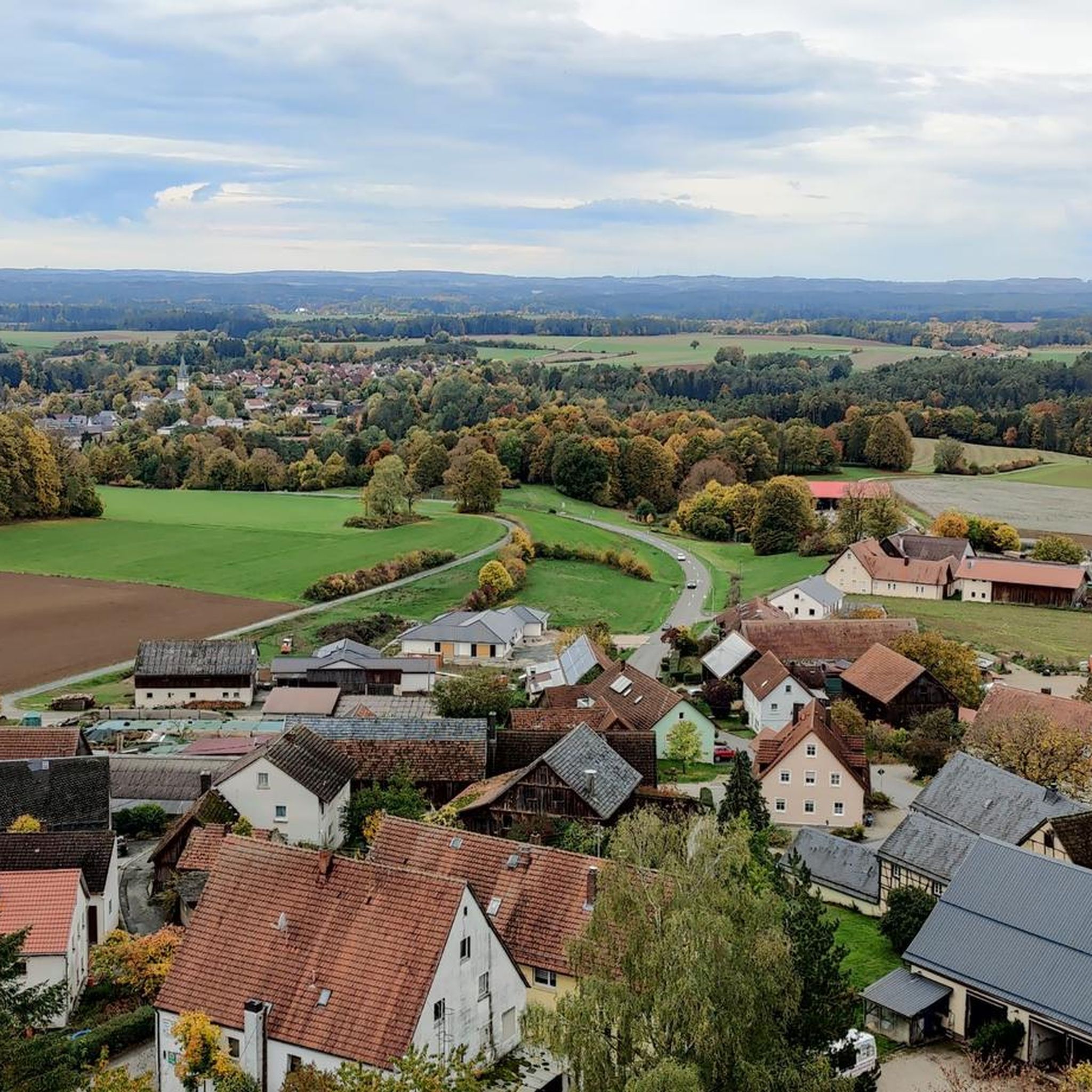
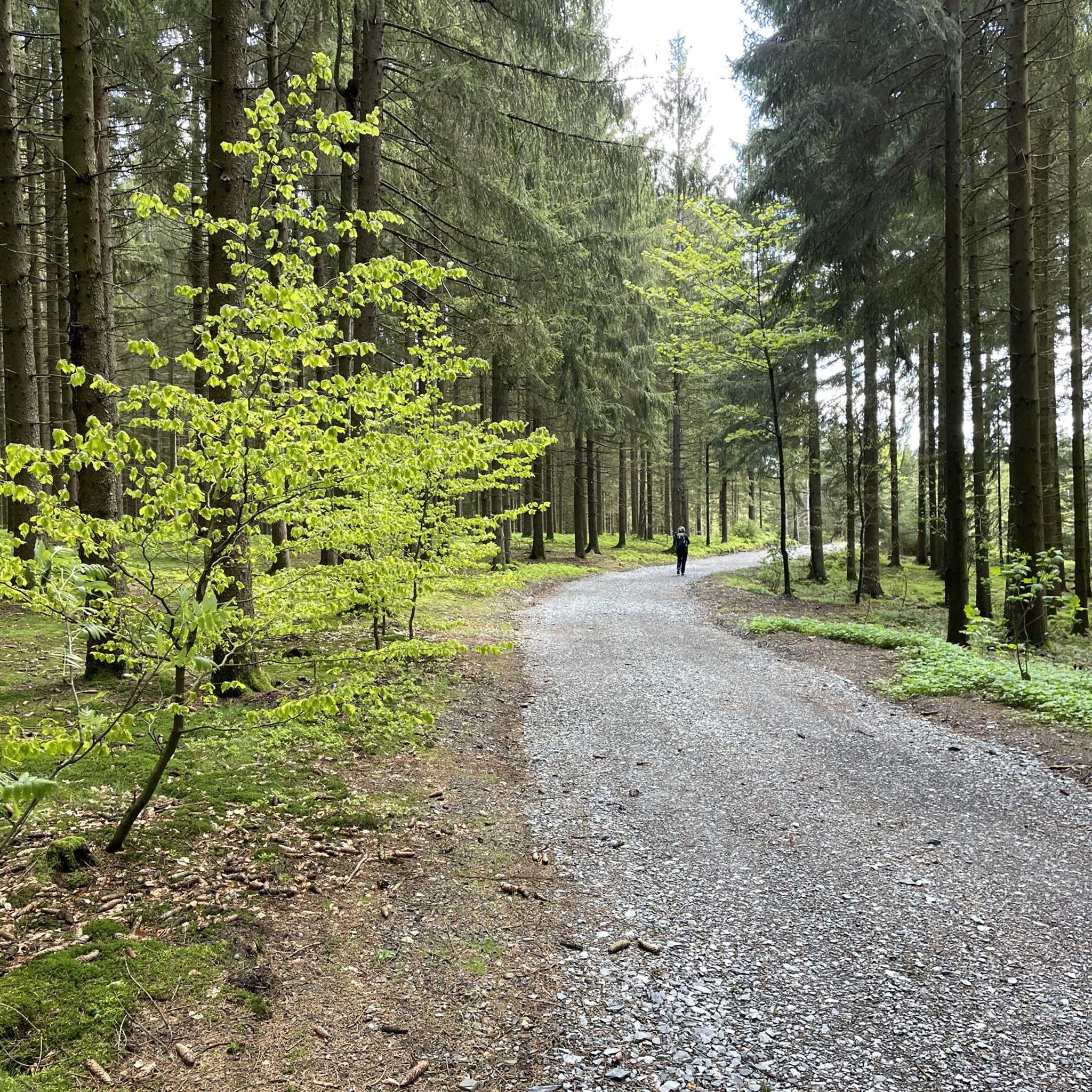
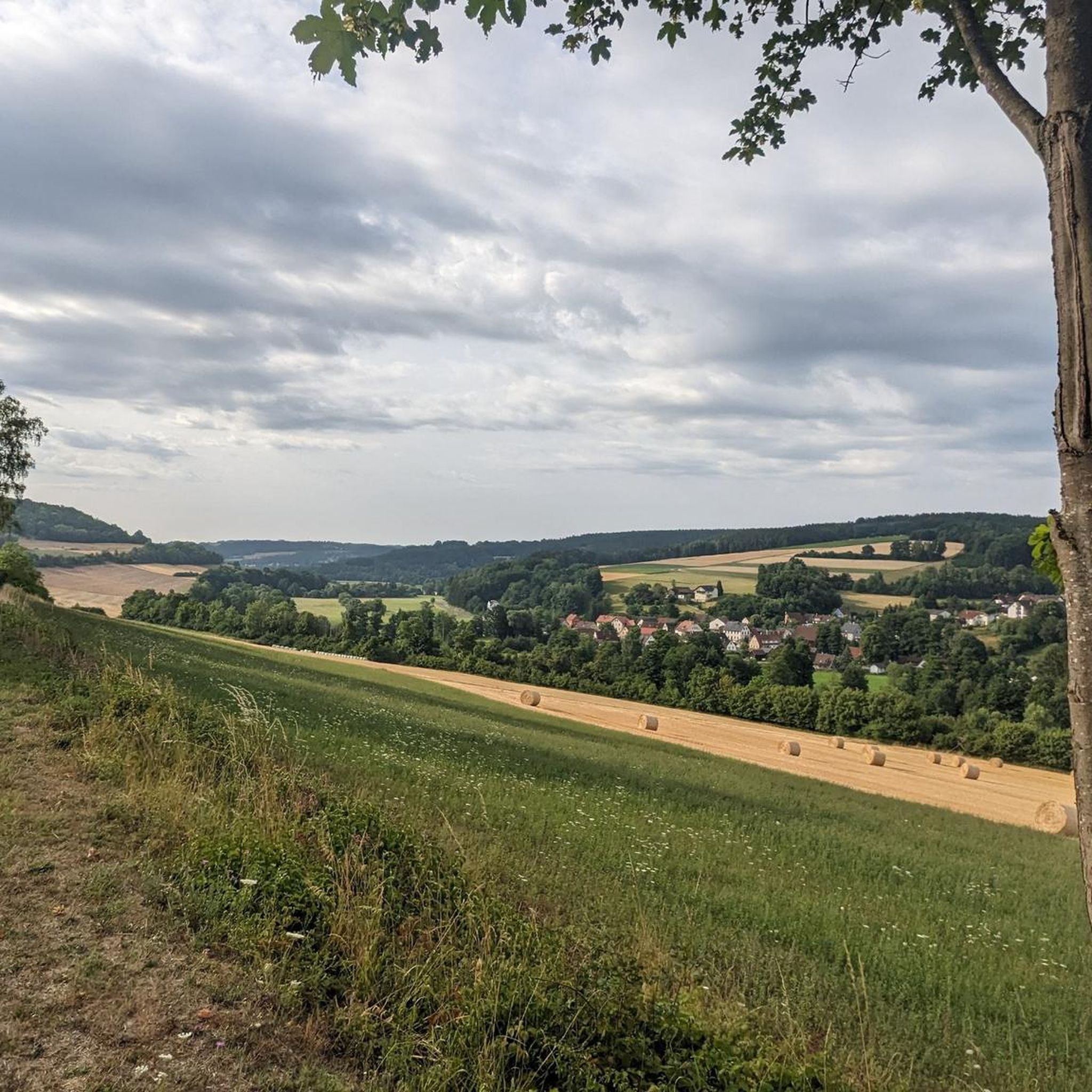
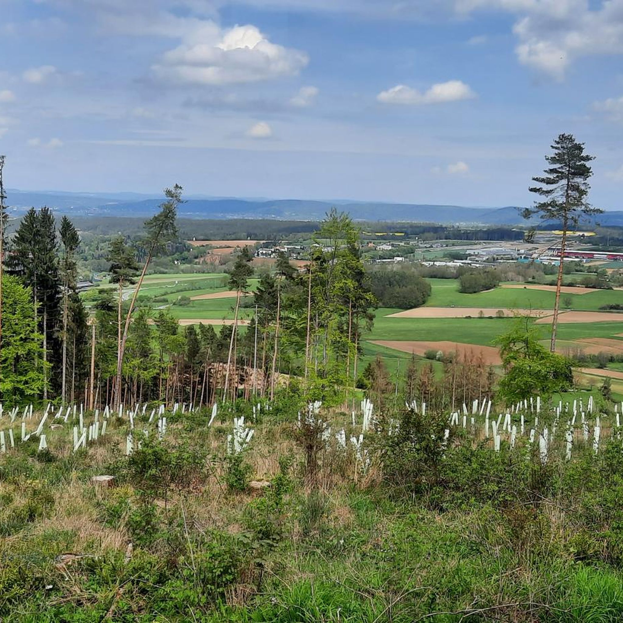
Hiking in Landkreis Kulmbach offers diverse landscapes at the foot of the Franconian Forest, with proximity to the Fichtel Mountains and Franconian Switzerland. The region features dense woodlands, river valleys along the Main, and unique geological formations. Hikers can explore trails through forests, past hills, and along the confluence of the White and Red Main rivers. The terrain includes varied elevations and natural monuments like the Steinach Gorge.
Best hiking trails in Landkreis Kulmbach
- The most popular hiking route is Dr. Fritz Hornschuh Nature Trail, a 5.5 miles (8.9 km) moderate trail that takes 2 hours 35 minutes to complete. This path features a rock arch and panoramic viewpoints within Franconian Switzerland.
- Another top favourite among local hikers is Juniper Valley near Wonsees – 🏛️ Sanspareil Rock Garden loop from Wonsees, an easy 4.4 miles (7.1 km) path. This route explores the unique Sanspareil Rock Garden with its bizarre rock formations.
- Local hikers also love the Rehberg Tower – View of Plassenburg Castle loop from Kulmbach, an 8.0 miles (12.9 km) trail leading through forested areas with views of the historic Plassenburg Castle, often completed in about 3 hours 42 minutes.
- Hiking in Landkreis Kulmbach is defined by dense forests of the Franconian Forest, scenic river valleys of the Main, and the unique rock formations of Franconian Switzerland. The network offers options for easy walks, moderate excursions, and more challenging routes.
- The routes in Landkreis Kulmbach are highly rated by the komoot community with an average score of 4.6 stars from over 11,000 reviews. More than 46,000 hikers have used komoot to explore Landkreis Kulmbach's varied terrain.
Last updated: August 17, 2026
4.7
(120)
427
hikers
8.92km
02:35
230m
230m
Moderate hike. Good fitness required. Easily-accessible paths. Suitable for all skill levels.
4.7
(118)
421
hikers
8.60km
02:31
240m
240m
Moderate hike. Good fitness required. Easily-accessible paths. Suitable for all skill levels.

Sign up for free
4.3
(93)
244
hikers
6.18km
01:49
170m
170m
Easy hike. Great for any fitness level. Easily-accessible paths. Suitable for all skill levels.
4.7
(564)
1,647
hikers
7.09km
01:57
120m
120m
Easy hike. Great for any fitness level. Easily-accessible paths. Suitable for all skill levels.
4.6
(40)
153
hikers
7.60km
02:01
80m
80m
Moderate hike. Good fitness required. Easily-accessible paths. Suitable for all skill levels.
4.7
(583)
1,716
hikers
7.25km
02:00
120m
120m
Easy hike. Great for any fitness level. Easily-accessible paths. Suitable for all skill levels.
4.9
(153)
531
hikers
Moderate hike. Good fitness required. Easily-accessible paths. Suitable for all skill levels.
4.8
(183)
557
hikers
12.8km
03:42
290m
290m
Moderate hike. Good fitness required. Easily-accessible paths. Suitable for all skill levels.
4.7
(170)
607
hikers
11.1km
03:11
270m
270m
Moderate hike. Good fitness required. Easily-accessible paths. Suitable for all skill levels.
4.7
(145)
531
hikers
Easy hike. Great for any fitness level. Easily-accessible paths. Suitable for all skill levels.
Get access to more routes and recommendations from other explorers.
Sign up for free
Already have an account?
Our route recommendations are based on thousands of hikes, rides, and runs completed by other people on komoot.
Start today with a free account
Your next adventure awaits.
Login or Signup
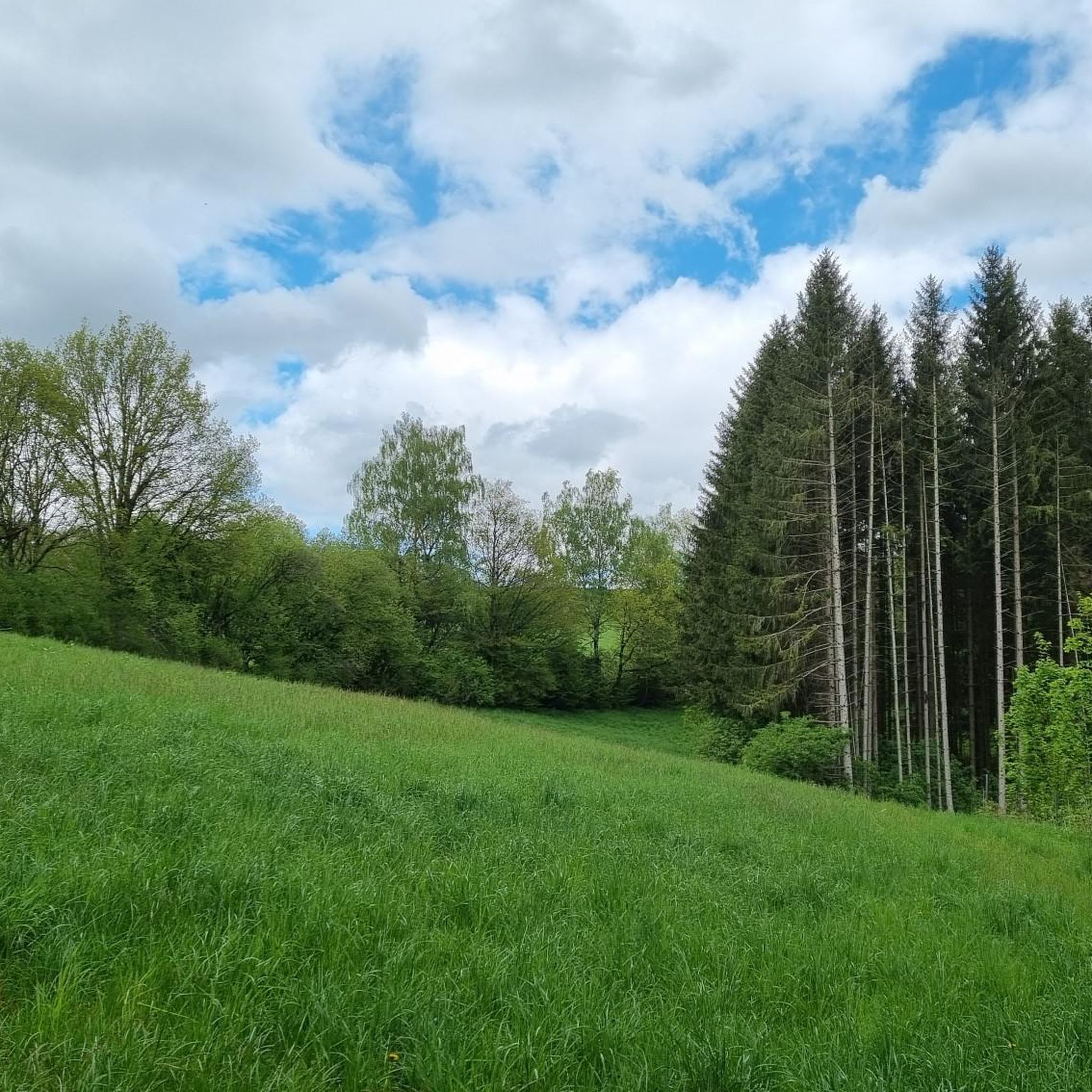
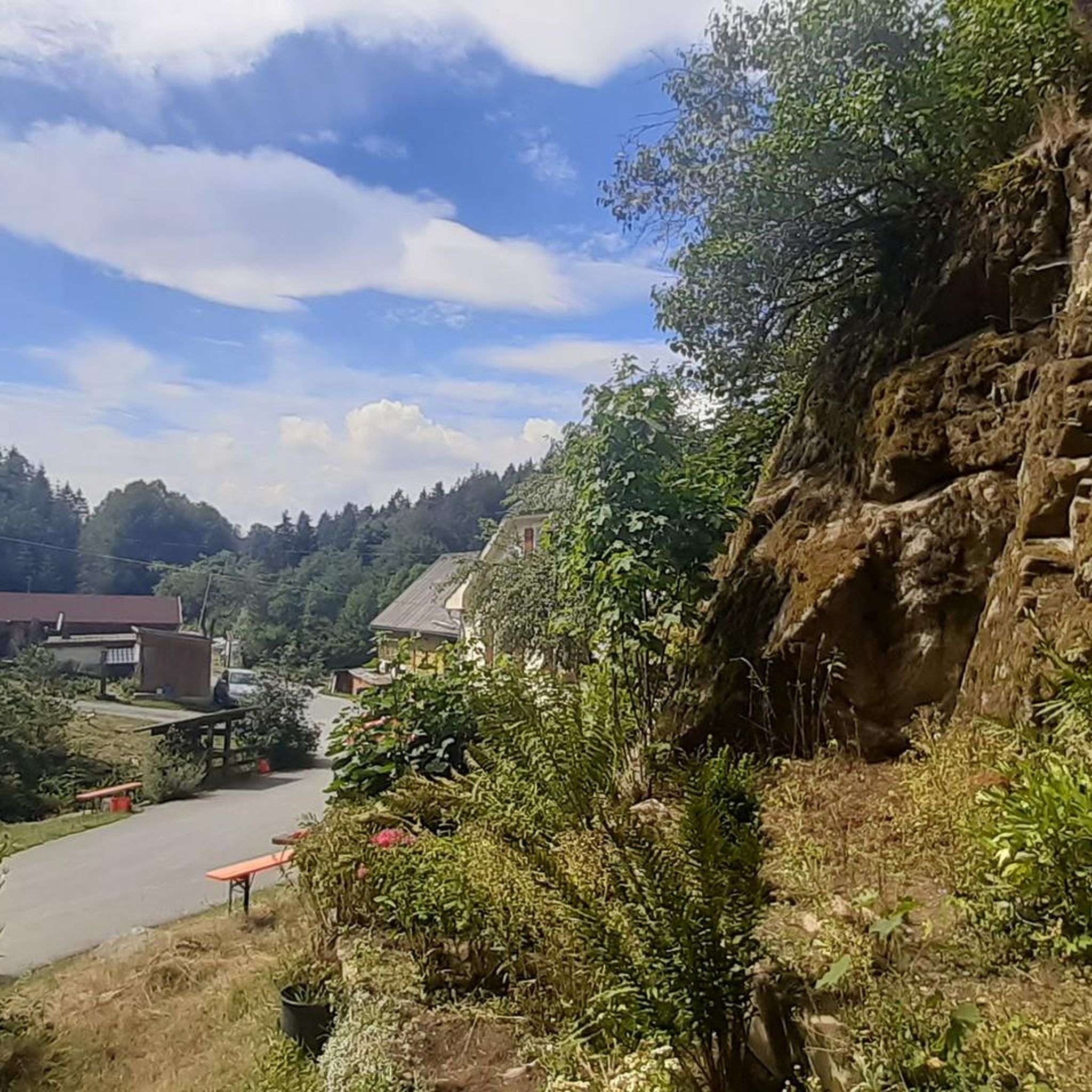
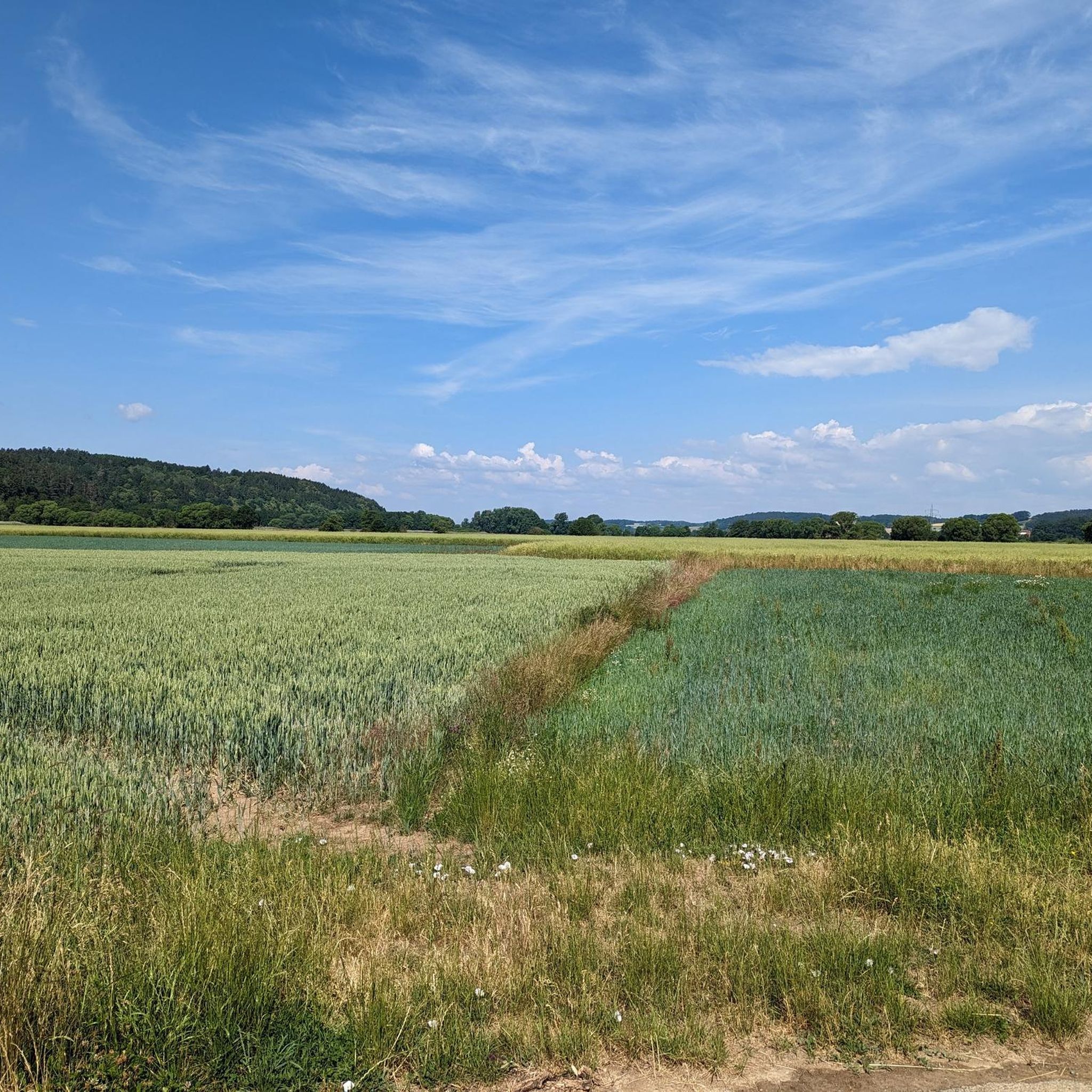
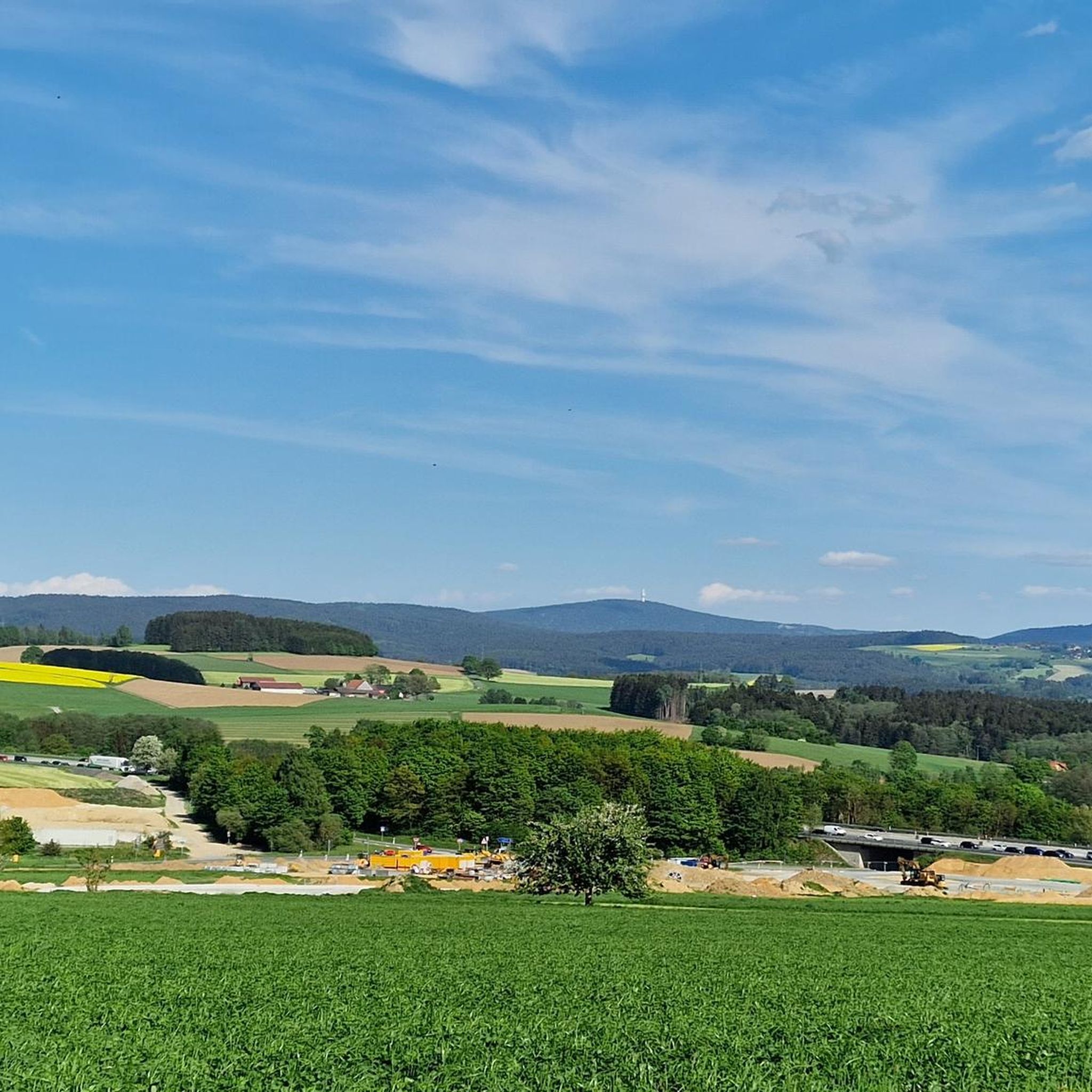
Other adventures in Landkreis Kulmbach


Tips from the Community

beautiful spot to rest and enjoy the great view
0
0

The ruin theater is built from fragments. It is a masterpiece of baroque staging that is still actively used today. Macbeth is still performed in the open-air theater nowadays.
9
0
Many lovers have taken it literally and carved their names or just their initials into the adjacent trees.
9
0

Imposing new construction of steel and wood. Height 40 m to the upper platform. For the kids, there is a great adventure course at the bottom.
2
0

The Görauer Anger is a popular area for kite and paragliding. It offers a distinct terrain edge with a wide view. There is a natural launch ramp above the former ski slope near Zultenberg.
15
0
Here at the summit cross, you'll find one of the most beautiful resting places in the region. The massive wooden bench with a table invites you to enjoy a cozy snack right at the edge of the cliff. From there, you have a magnificent panoramic view over the Maintal valley, all the way to the Kulmbach region and the Fichtelgebirge mountains.
15
0
Kieswäsch Lake is the ideal destination for those seeking relaxation just outside Kulmbach. Surrounded by meadows, the lake offers something for everyone: a level circular path invites you to stroll and hike. Those looking for more exercise will find excellent fitness equipment on a modern course. Large sunbathing lawns and a sandy beach at the lake create a true holiday atmosphere. For refreshments, there's a cozy beer garden right by the water.
13
0
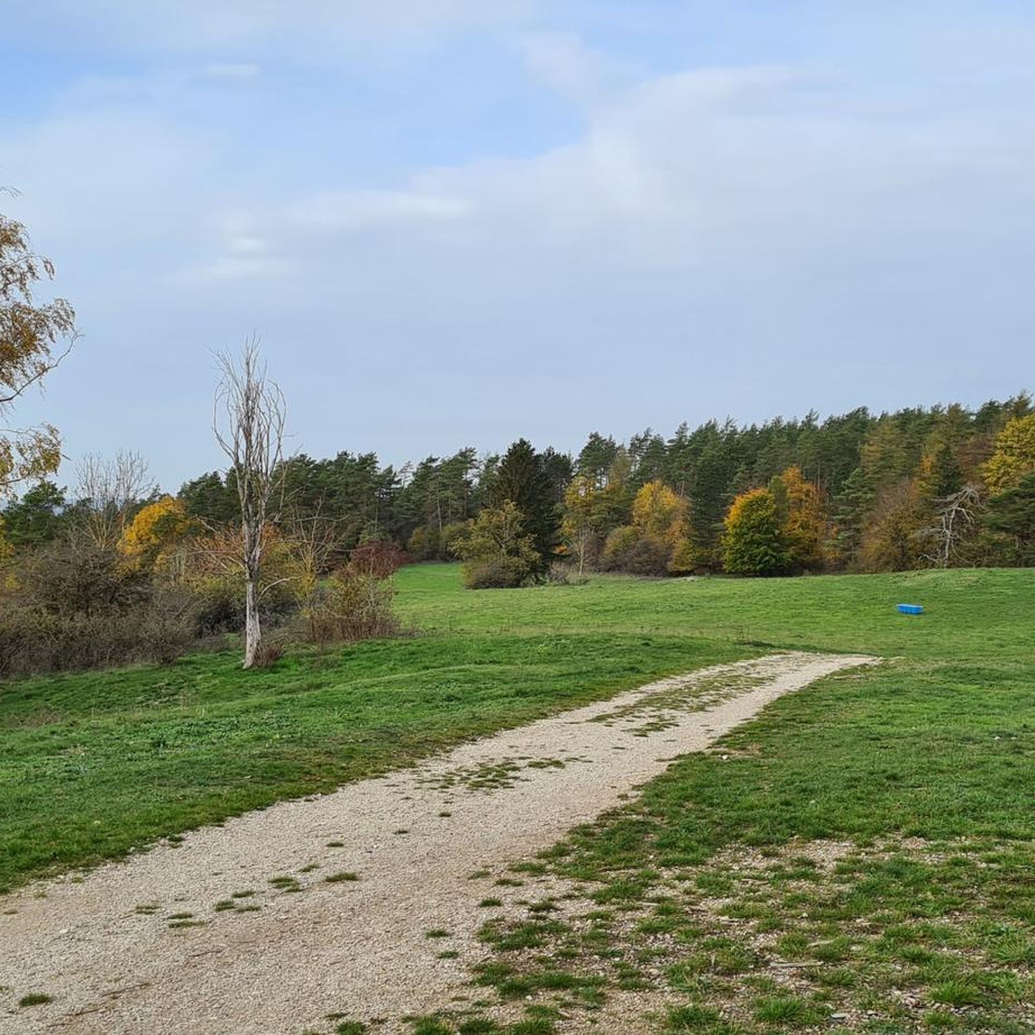
This path is a tip for hikers looking for natural trails away from wide forest roads.
14
0
Frequently Asked Questions
What types of landscapes can I expect to see while hiking in Landkreis Kulmbach?
Landkreis Kulmbach offers a diverse range of landscapes, situated at the foot of the Franconian Forest and near the Fichtel Mountains and Franconian Switzerland. You'll find dense woodlands, scenic river valleys along the White and Red Main rivers, and unique geological formations like the Steinach Gorge. The region also features varied elevations, from gentle hills to the highest point at Pressecker Knock.
Are there any easy hiking trails suitable for families in Landkreis Kulmbach?
Yes, there are over 1000 easy hiking routes in Landkreis Kulmbach. A great option for families is the Juniper Valley near Wonsees – 🏛️ Sanspareil Rock Garden loop from Wonsees, an easy 4.4-mile path that explores the unique Sanspareil Rock Garden with its bizarre rock formations. Another easy route is the Eulenspiegel Trail, which is just over 6 km long.
Can I bring my dog on the hiking trails in Landkreis Kulmbach?
Most hiking trails in Landkreis Kulmbach are dog-friendly, allowing you to enjoy the natural beauty with your canine companion. However, it's always recommended to keep your dog on a leash, especially in nature reserves, near livestock, or in crowded areas, to ensure the safety and comfort of all hikers and local wildlife.
Are there any circular hiking routes in the region?
Yes, many of the hiking routes in Landkreis Kulmbach are designed as circular trails, offering varied scenery without retracing your steps. For example, the Rehberg Tower – View of Plassenburg Castle loop from Kulmbach is an 8-mile circular trail with views of the historic Plassenburg Castle. Another option is the 🏛️ Steinenhausen Castle – ⚓ Main Confluence loop from Seidenhof, which is an easy 7.7 km loop.
What historical landmarks or natural attractions can I see along the trails?
Landkreis Kulmbach is rich in both historical and natural attractions. You can hike past the impressive Plassenburg Fortress, one of Germany's most imposing Renaissance buildings. The Dr. Fritz Hornschuh Nature Trail features a rock arch and panoramic viewpoints. Don't miss the unique Zwernitz Castle and the bizarre rock formations of the Sanspareil Rock Garden.
Are there any challenging hikes for experienced trekkers?
While the region offers many easy and moderate trails, there are also more challenging options. Out of nearly 1900 routes, 61 are rated as difficult. These routes often involve greater elevation changes and longer distances, particularly in areas bordering the Fichtel Mountains or deeper into the Franconian Forest. You can filter for 'difficult' trails on komoot to find these routes.
What is the best time of year to go hiking in Landkreis Kulmbach?
Landkreis Kulmbach offers beautiful hiking experiences throughout the year. Spring brings nature to life with vibrant colors, while autumn transforms the landscape into a sea of bright reds and golds, making it particularly scenic. Summer is ideal for enjoying the river valleys, and even winter offers opportunities for snowy walks, especially in the higher elevations near the Fichtel Mountains.
Are there good viewpoints along the hiking trails?
Yes, the region boasts several excellent viewpoints. The View from Galgenberg near Kupferberg offers expansive vistas. The Rehbergturm (Rehberg Tower) provides magnificent views, and the Pressecker Knock, the highest elevation in Landkreis Kulmbach, features a 20-meter observation tower with panoramic views of the Franconian and Thuringian landscapes.
How can I get to the hiking trails using public transport?
Many of the smaller villages around Kulmbach serve as excellent starting points for hiking routes and are often connected by local bus services. While specific routes vary, checking local public transport schedules for connections to towns like Wonsees or Presseck, which are near popular trailheads, is recommended. Kulmbach itself is well-connected by train.
Where can I find parking for hiking trails in Landkreis Kulmbach?
Parking is generally available at or near the starting points of many popular hiking trails and in the villages that serve as trailheads. Look for designated hiking parking areas (Wanderparkplätze) or public parking lots in towns like Kulmbach, Wonsees, or Presseck. Specific parking information is often detailed on individual route pages on komoot.
What do other hikers enjoy most about hiking in Landkreis Kulmbach?
The area is highly rated by the komoot community, with an average score of 4.6 stars from over 11,000 reviews. Reviewers often praise the diverse landscapes, from the dense forests of the Franconian Forest to the scenic river valleys of the Main, and the unique rock formations of Franconian Switzerland. The well-marked paths and the integration of historical sites like Plassenburg Castle also receive high acclaim.
Are there any long-distance hiking trails that pass through Landkreis Kulmbach?
Yes, Landkreis Kulmbach is situated at the foot of the Franconian Forest, which is traversed by several long-distance hiking trails. Notable routes include sections of the Frankenweg and the Franconian Mountain Route. These trails offer opportunities for multi-day hikes through dense woods and scenic plateaus, connecting various regions of Franconia.
Most popular routes in Landkreis Kulmbach
Most popular attractions in Landkreis Kulmbach

Get inspired with the komoot mobile app


Didn’t find what you were looking for?
Check out more Hikes throughout Landkreis Kulmbach below and find the perfect route in your destination.
Explore more
Browse the best Hikes in other regions.
