The best family-friendly hikes and walks in Kreis Siegen-Wittgenstein
4.6
(29732)
108,611
hikers
4,521
hikes
Family friendly hiking trails in Kreis Siegen-Wittgenstein traverse a diverse landscape characterized by the Rothaar Mountains and Westerwald. The region features extensive, densely wooded forests, river valleys formed by the Sieg and Lahn, and scenic reservoirs like the Obernautalsperre. This varied topography offers a range of elevations and natural features suitable for family exploration.
Best family friendly hiking trails in Kreis Siegen-Wittgenstein
- The most popular family friendly hiking route is Wisentpfad (Wittgensteiner Land) - Sauerland quality hiking trail, an…
Last updated: June 29, 2026
4.8
(528)
1,768
hikers
13.3km
03:46
260m
270m
Moderate hike. Good fitness required. Mostly accessible paths. Sure-footedness required.
4.6
(130)
465
hikers
13.3km
03:43
260m
260m
Moderate hike. Good fitness required. Easily-accessible paths. Suitable for all skill levels.

Sign up for free
4.7
(104)
377
hikers
20.2km
05:58
590m
590m
Hard hike. Very good fitness required. Mostly accessible paths. Sure-footedness required.
4.8
(821)
2,512
hikers
8.46km
02:17
110m
110m
Moderate hike. Good fitness required. Easily-accessible paths. Suitable for all skill levels.
4.8
(509)
1,498
hikers
14.9km
04:24
370m
370m
Moderate hike. Good fitness required. Mostly accessible paths. Sure-footedness required.
Get access to more routes and recommendations from other explorers.
Sign up for free
Already have an account?
Our route recommendations are based on thousands of hikes, rides, and runs completed by other people on komoot.
Start today with a free account
Your next adventure awaits.
Login or Signup
Popular around Kreis Siegen-Wittgenstein
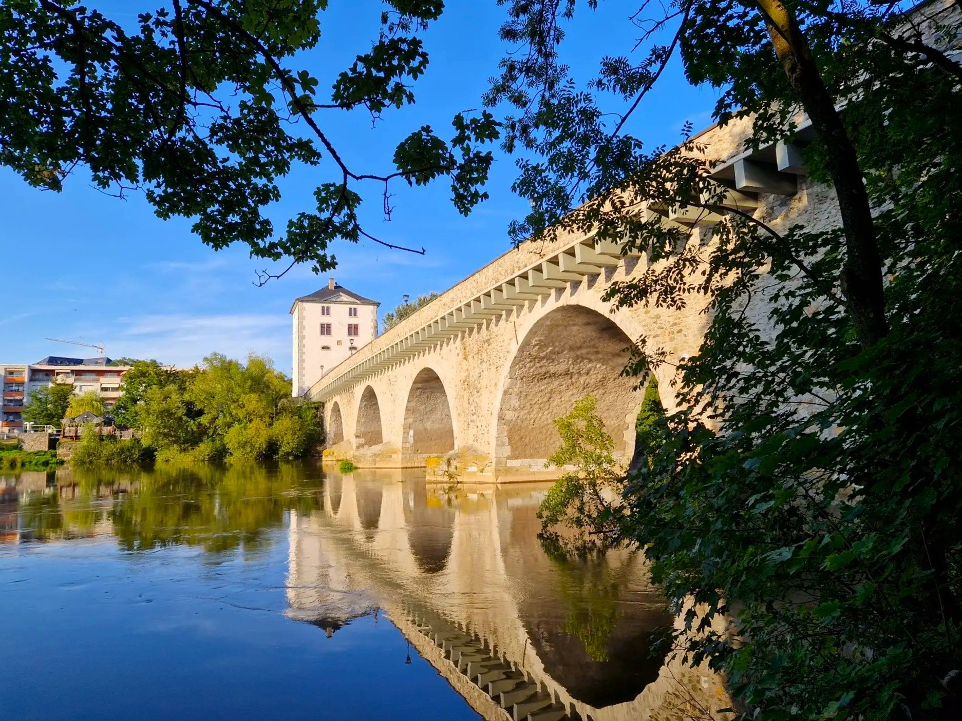
Lahnwanderweg Trail – The Lahn from its source to the estuary
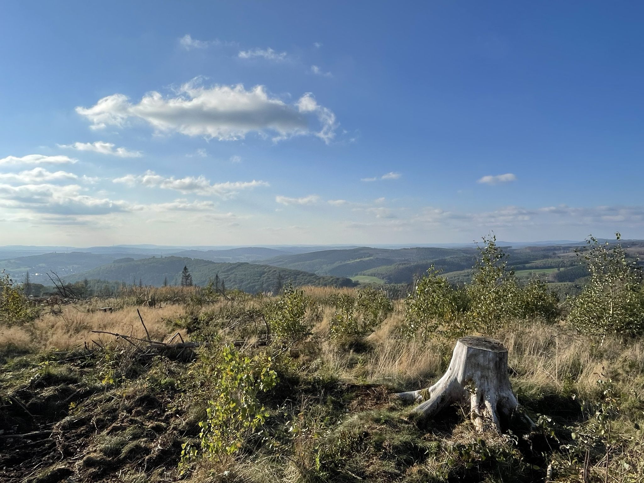
Siegerland-Höhenring – A classic in six stages
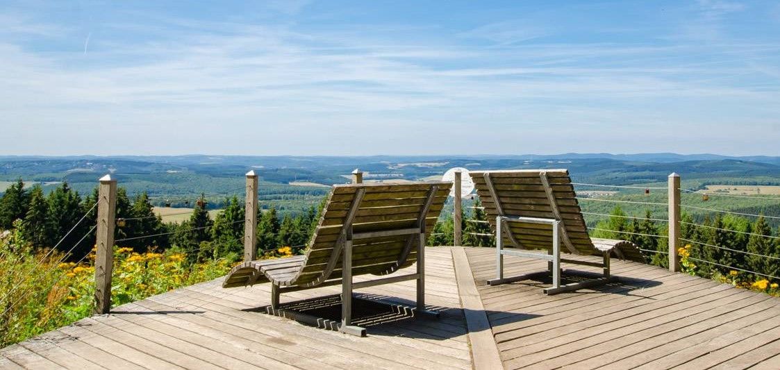
Siegerland-Höhenring – Discover a classic in 6 days

#GoFurther – discover the views of Germany!
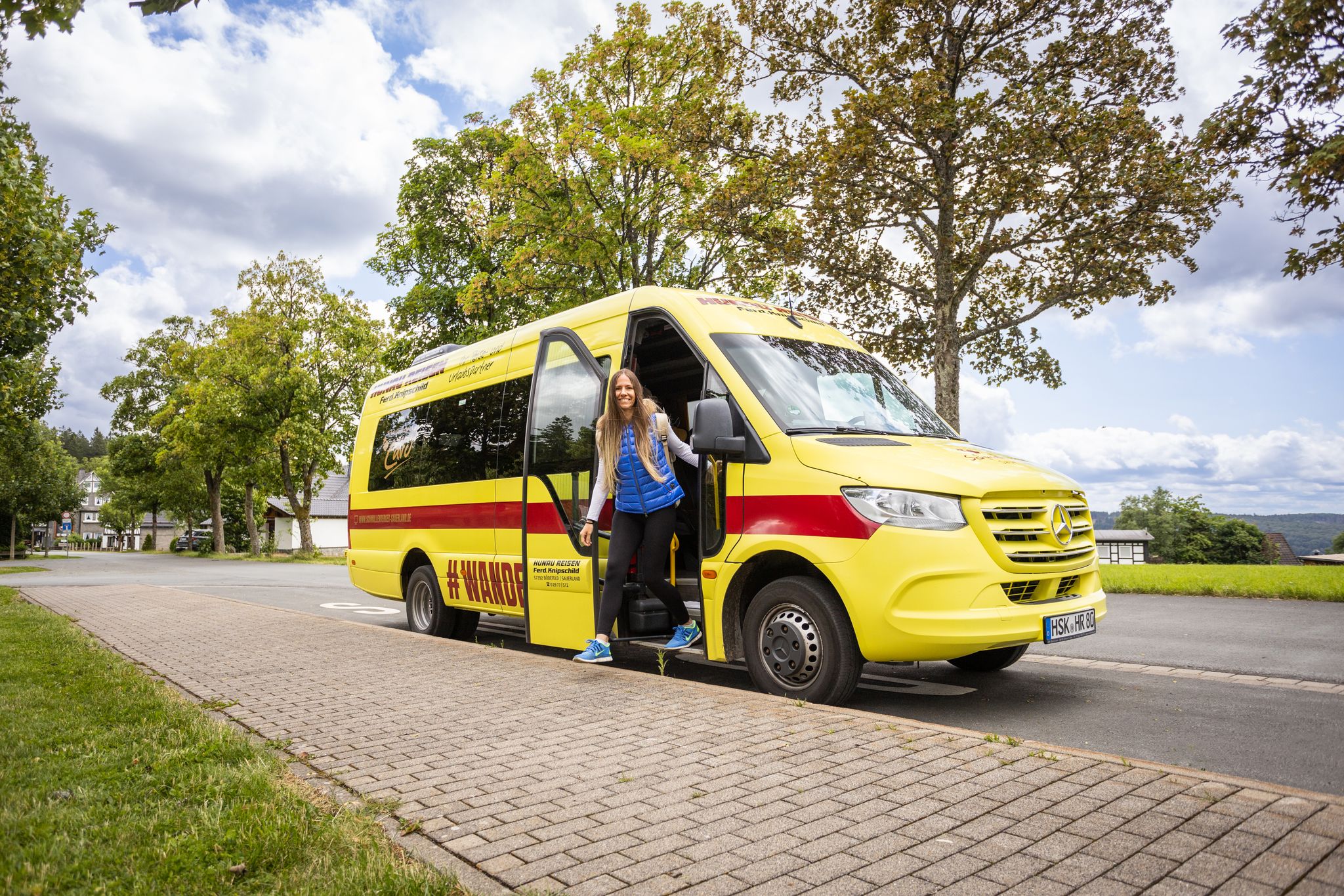
Sustainable hikes – accessible by public transport and hiking bus
Rothaarsteig trail – long-distance hiking in the heart of Germany
Dreamlike hiking in Germany – #EmbraceGermanNature
Discover the wintry Rhine-Main region
Exploring Schmallenberg Sauerland — stunning hikes in Germany
Forest, meadows, wonderland – hiking the Rothaarsteig Trails
Other adventures in Kreis Siegen-Wittgenstein


Tips from the Community

Great overview of the village on the Eder.
0
0


Beautiful nature trail on the slope
0
0

Beautiful observation point at the fallow deer enclosure.
0
0
You can really knock on wood here!!! Beautifully done and one of many stations in the zoo.
4
0

The dam is fed by two small streams. One of them is the Breitenbach, which also gives the dam its name.
2
0

Just follow the bat… the signs show the complete 13.5 km circular route of the Wittgenstein Slate Trail!
1
0
Frequently Asked Questions
How many family-friendly hiking trails are available in Kreis Siegen-Wittgenstein?
Kreis Siegen-Wittgenstein offers a wide variety of hiking experiences, with over 2600 easy trails and more than 1700 moderate routes that are suitable for families. The region's diverse landscape, from dense forests to scenic valleys, provides numerous options for all ages.
What makes Kreis Siegen-Wittgenstein a good destination for family hikes?
The region is known for its extensive network of trails through untouched forests, mountains, and valleys, including parts of the Rothaargebirge nature park. Many paths are well-maintained and offer varied terrain suitable for different family fitness levels, often leading to scenic viewpoints or unique natural features.
What do other hikers enjoy most about the family-friendly trails here?
The komoot community highly rates the trails in Kreis Siegen-Wittgenstein, with an average score of 4.6 stars from over 28,000 ratings. Hikers frequently praise the beautiful natural scenery, the well-marked paths, and the peaceful atmosphere, making it ideal for family outings.
Are there any trails suitable for strollers or very young children?
While many trails are family-friendly, routes specifically designed for strollers can be found around the region's reservoirs. For example, the area around the Obernau Reservoir often features flatter, wider paths that are more accessible for strollers and toddlers.
Can we see any unique natural landmarks on these hikes?
Yes, Kreis Siegen-Wittgenstein boasts several unique natural landmarks. You can explore the distinctive basalt formations known as the "Trödelsteine" or enjoy panoramic views from the Tiefenrother Höhe viewpoint. The region's dense forests and river valleys also offer beautiful natural scenery.
Are there any trails that feature water, like lakes or reservoirs?
Absolutely. The region is home to several scenic reservoirs. The View of the Obernau Dam – View of the Obernau Reservoir loop is a great option for families, offering beautiful waterside views. Another popular spot is the Breitenbach dam, which also provides pleasant walking opportunities.
Are there opportunities to see wildlife on family hikes?
Yes, especially on trails like the Wisentpfad (Wittgensteiner Land). This Sauerland quality hiking trail offers a unique chance to encounter majestic European bison in the Wisent-Wilderness, providing an exciting experience for children and adults alike.
Are there circular routes suitable for families?
Many family-friendly trails in Kreis Siegen-Wittgenstein are designed as circular routes, making them convenient for day trips. These loops often start and end at the same point, simplifying logistics for families. The View of the Obernau Dam – View of the Obernau Reservoir loop is a good example of a moderate circular route.
How accessible are the family-friendly trails by public transport?
Many trails in Kreis Siegen-Wittgenstein are accessible by public transport, particularly those around larger towns and popular natural attractions. It's advisable to check local bus and train schedules in advance to plan your journey to the trailhead.
What is the best time of year to go hiking with family in Kreis Siegen-Wittgenstein?
Kreis Siegen-Wittgenstein offers great hiking opportunities year-round. Spring brings blooming wildflowers, summer provides lush green forests, and autumn showcases vibrant fall foliage. Even in winter, some trails are suitable for family walks, especially those that are well-maintained and less exposed.
Are dogs allowed on family-friendly hiking trails?
Generally, dogs are welcome on most hiking trails in Kreis Siegen-Wittgenstein. However, it's important to keep them on a leash, especially in nature reserves, near wildlife, or in areas with livestock. Always carry waste bags and ensure your dog is well-behaved around other hikers and children.
Where can we find parking for family hikes?
Parking is typically available at the start of popular trailheads and near major attractions like the Obernautalsperre and Breitenbachtalsperre. Many smaller routes also have designated parking areas. It's always a good idea to check specific route details for parking information before you go.
Are there any easy, shorter routes perfect for families?
Yes, there are numerous easy and shorter routes ideal for families. While the Erlebnisweg Sieg Trupbacher Heide is a moderate route, its varied landscape and points of interest make it engaging for families. For shorter, easier options, look for trails specifically marked as 'easy' in the komoot app, often found around reservoirs or in local parks.
Most popular routes in Kreis Siegen-Wittgenstein
Most popular attractions in Kreis Siegen-Wittgenstein

Get inspired with the komoot mobile app


Explore more
Browse the best Hikes in other regions.
