The best hikes from bus stations in Eastern Switzerland
4.6
(47655)
285,508
hikers
4,279
hikes
Bus station hiking trails in Eastern Switzerland traverse a diverse landscape, ranging from the rolling hills of the Appenzell Alps to the dramatic peaks of the Churfirsten range and the shores of Lake Walen. The region is characterized by significant elevation changes, featuring deep valleys, alpine lakes, and prominent mountain formations. Hikers can explore areas with lush pastures, dense forests, and impressive geological sites like the Sardona Tectonic Arena.
Best bus station hiking trails in Eastern Switzerland
- The most popular bus station hiking route is Circular lake hike in Klöntal, a 7.9 miles (12.7 km) trail that takes 3 hours 36 minutes to complete. This moderate route offers scenic views around the Klöntalersee.
- Another top favourite among local hikers is Riviera Walensee Weesen - Quinten, a moderate 6.6 miles (10.7 km) path. This trail follows the northern shore of Lake Walen, passing the impressive Seerenbach Falls.
- Local hikers also love the Batöni waterfall arena in the Weisstannental valley, a 5.2 miles (8.4 km) trail leading through a valley known for its multiple waterfalls, often completed in about 3 hours 13 minutes.
- Hiking in Eastern Switzerland is defined by its varied alpine terrain, including the dramatic peaks of the Alpstein Massif, the serene waters of Walensee, and the geological formations of the Rhine Valley. The network offers options for different ability levels, from easy lakeside strolls to challenging mountain ascents.
- The routes in Eastern Switzerland are highly rated by the komoot community with an average score of 4.6 stars from more than 40,000 reviews. More than 265,000 hikers have used komoot to explore Eastern Switzerland's varied terrain.
Last updated: August 20, 2026
4.7
(384)
2,082
hikers
12.6km
03:36
270m
270m
Moderate hike. Good fitness required. Mostly accessible paths. Sure-footedness required.
4.7
(399)
2,562
hikers
10.7km
03:14
290m
280m
Moderate hike. Good fitness required. Mostly accessible paths. Sure-footedness required.

Sign up for free
4.6
(301)
1,852
hikers
8.41km
03:13
520m
520m
Moderate hike. Good fitness required. Mostly accessible paths. Sure-footedness required.
4.7
(144)
893
hikers
14.4km
07:32
1,170m
1,170m
Hard hike. Very good fitness required. Sure-footedness, sturdy shoes and alpine experience required.
4.7
(68)
511
hikers
9.47km
04:58
1,170m
100m
Hard hike. Very good fitness required. Sure-footedness, sturdy shoes and alpine experience required.
Get access to more routes and recommendations from other explorers.
Sign up for free
Already have an account?
Our route recommendations are based on thousands of hikes, rides, and runs completed by other people on komoot.
Start today with a free account
Your next adventure awaits.
Login or Signup
Popular around Eastern Switzerland
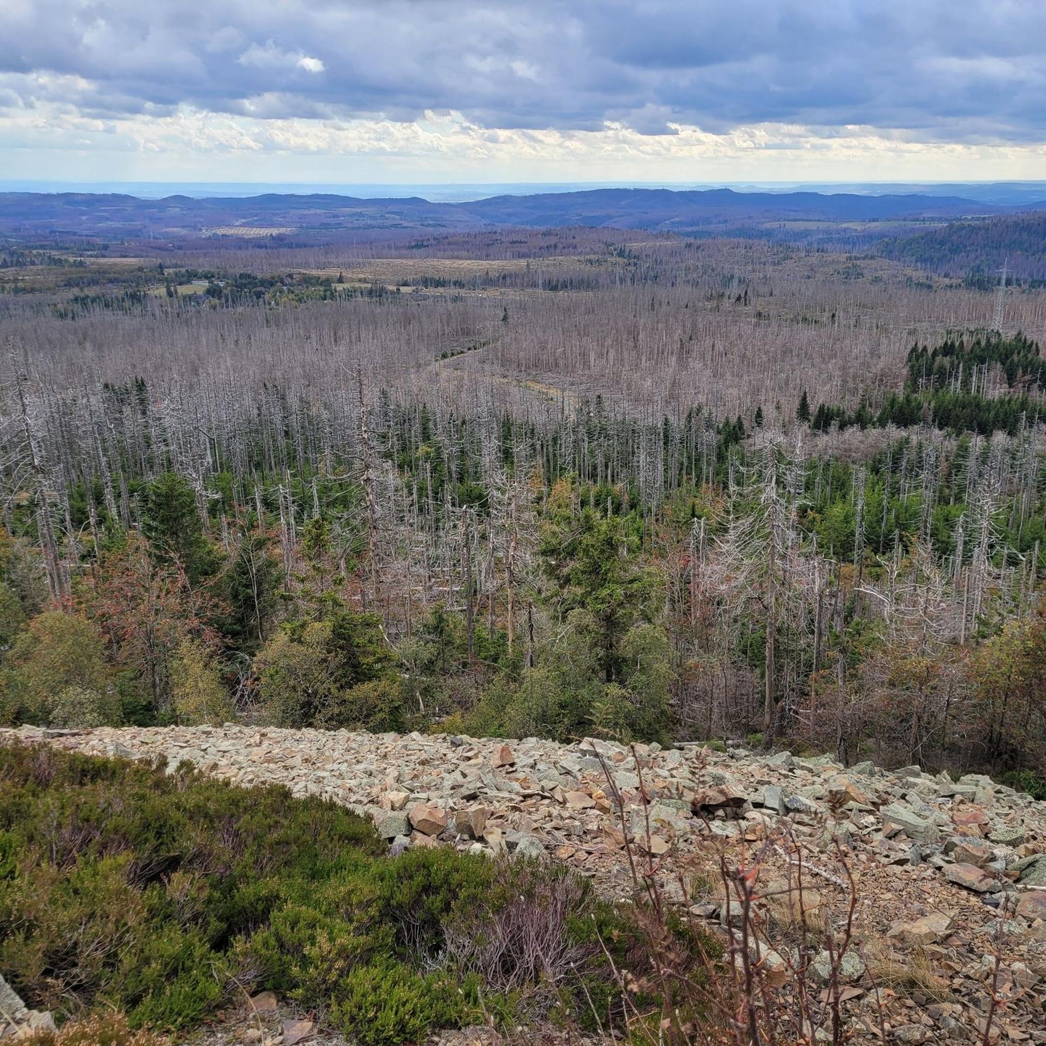
Hikes from bus stations around Lake Constance
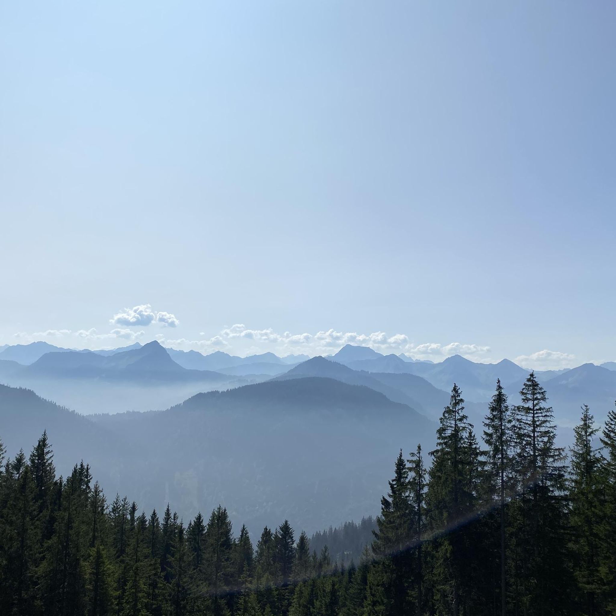
Hikes from bus stations in St. Gallen

Hikes from bus stations in Appenzell Ausserrhoden
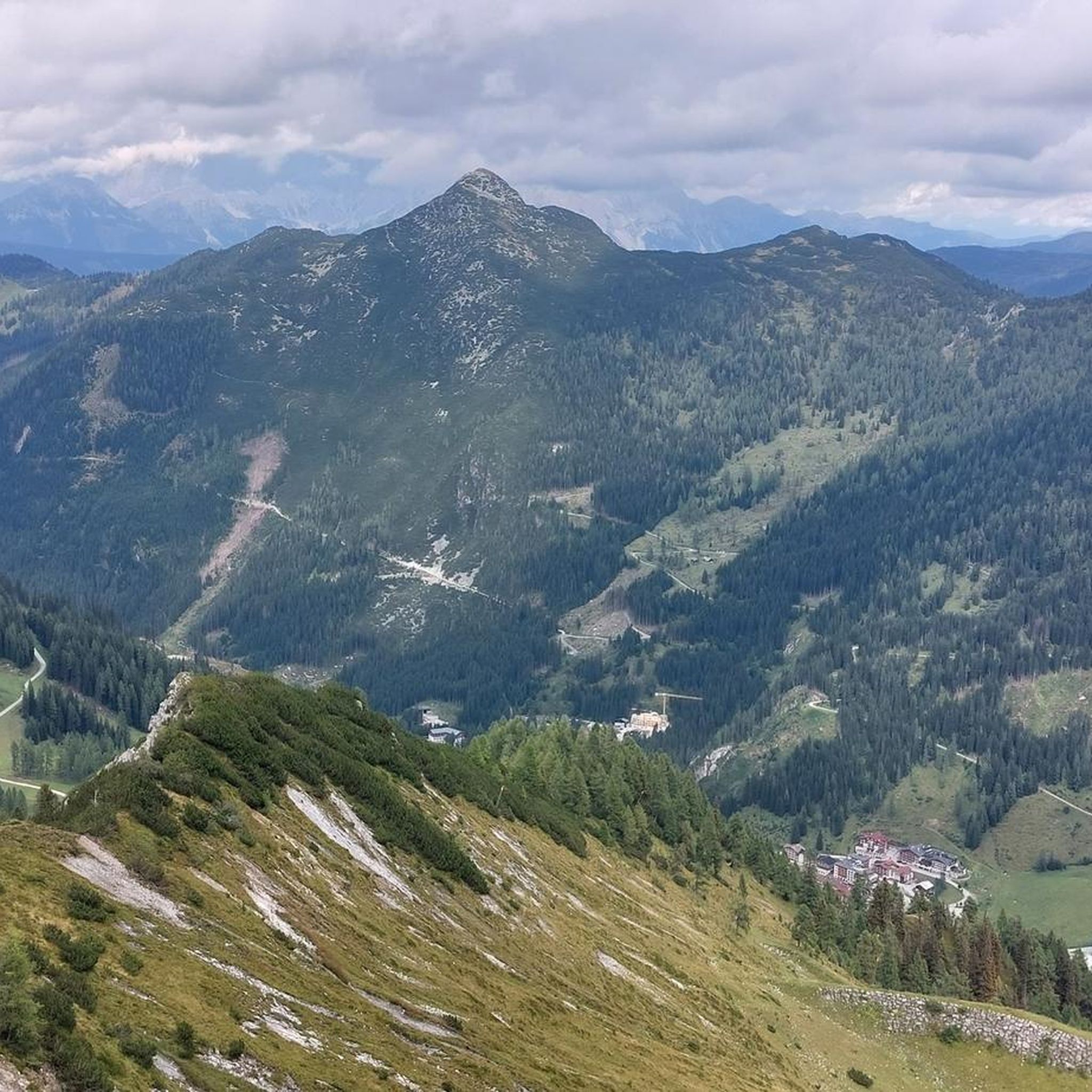
Hikes from bus stations in Glarus
Hikes from bus stations in Schaffhausen

Hikes from bus stations in Appenzell Innerrhoden
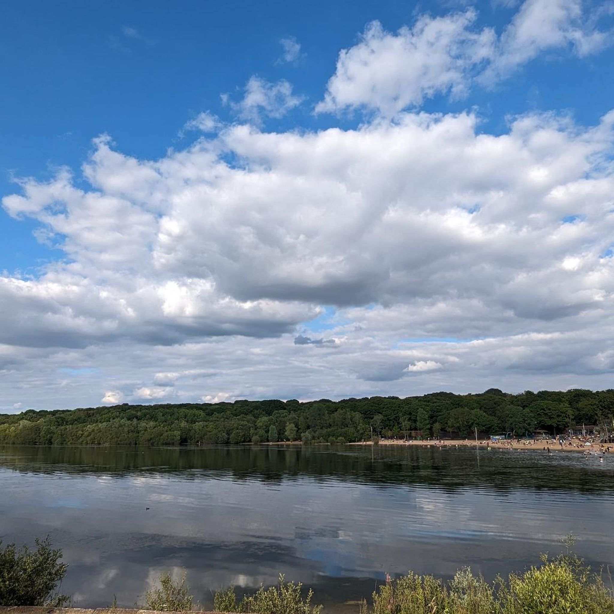
Hikes from bus stations in the Thurgau
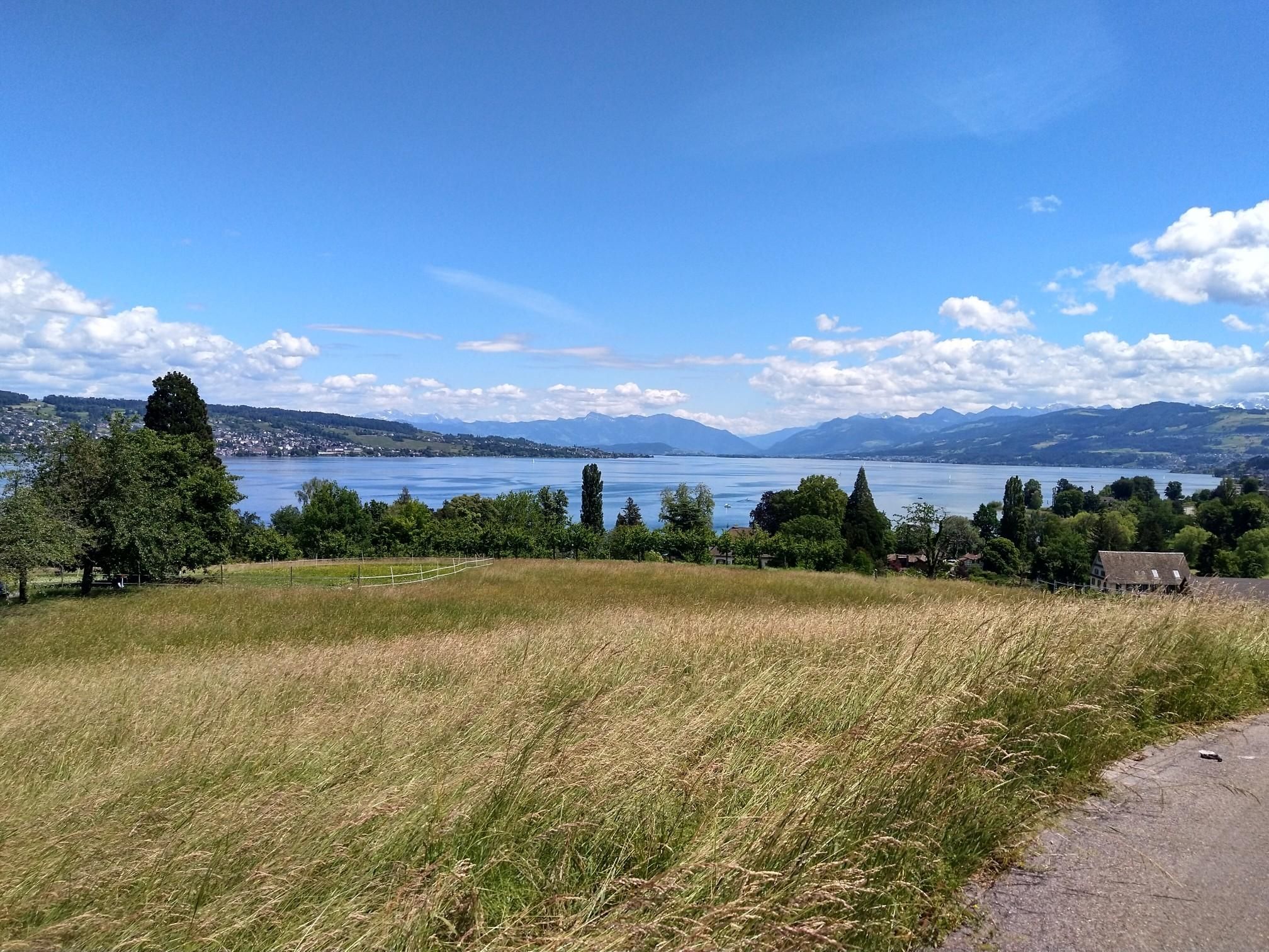
Lake Zurich loop – A land of contrasts
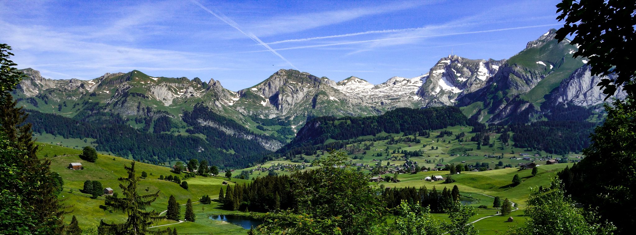
Toggenburger Höhenweg – Demanding hiking near St. Gallen

Sardona World Heritage Trail – Where the Alps once formed
Other adventures in Eastern Switzerland


Tips from the Community

Adventurous descent, where your hands are definitely used. Still secured at the top, but the further down you go, the more unsecured sections there are, where a certain climbing ability is required and good sure-footedness is assumed. I enjoyed the descent :)
0
0


Challenging with a good view.
1
0

Beautiful view and trail in very good condition
1
0

Would take good shoes
1
0

Great view of the valley!! Really beautiful! (Not a very technical path but on the mountainside, so be careful if you have vertigo)
2
0
Breathtaking view! Superb trail. If you are not comfortable with chains, it is better to take it uphill than downhill.
2
2

Unfortunately as soon as the sun comes out it is completely overcrowded
1
0
Frequently Asked Questions
How many bus station hiking trails are available in Eastern Switzerland?
Eastern Switzerland offers a vast network of bus-accessible hiking trails. You can explore over 4,300 routes that start conveniently from bus stations, making it easy to discover the region's diverse landscapes without a car.
Are there easy bus-accessible hikes suitable for beginners or families?
Yes, Eastern Switzerland has many easy bus-accessible trails perfect for beginners or families. Over 2,100 routes are rated as easy. For a gentle experience, consider the scenic Circular lake hike in Klöntal, which offers beautiful lakeside views in the Glarus Canton.
Can I find challenging bus-accessible hikes in Eastern Switzerland?
Absolutely. For experienced hikers seeking a challenge, Eastern Switzerland provides over 300 difficult bus-accessible routes. A prime example is the demanding spectacular Säntis Tour, which takes you to the highest peak of the Alpstein massif, offering incredible elevation gains and panoramic rewards.
Which bus-accessible trails feature waterfalls?
Eastern Switzerland is home to several stunning waterfalls accessible by bus. The Batöni waterfall arena in the Weisstannental valley is a fantastic option, showcasing multiple cascades. You can also find the impressive Thur Waterfalls and the Giessenfall Waterfall along various routes.
What kind of natural features or landmarks can I expect to see on these bus-accessible routes?
The bus-accessible routes in Eastern Switzerland traverse incredibly varied landscapes. You can encounter dramatic gorges like the Tamina Gorge, serene mountain passes such as Saxer Lücke, and the striking peaks of the Alpstein Massif. The region also features picturesque lakes like Walensee and Klöntalersee, and the unique geological formations of the Sardona Tectonic Arena.
Are the bus station hiking trails in Eastern Switzerland dog-friendly?
Many trails in Eastern Switzerland are dog-friendly, but it's always recommended to check specific route details for any restrictions, especially in nature reserves or on routes involving cable cars. Generally, the region's diverse terrain offers plenty of opportunities for you and your canine companion to explore.
What is the best season for bus-accessible hiking in Eastern Switzerland?
The best season largely depends on the elevation and your preferred activity. Spring and autumn offer pleasant temperatures for lower-altitude trails, with vibrant wildflowers or colorful foliage. Summer is ideal for higher alpine routes, though some can be enjoyed into late autumn. Winter offers snowshoeing and winter hiking options, often still accessible by bus to lower mountain stations.
Are there bus-accessible hikes with cafes or places to eat along the way?
Yes, many bus-accessible routes in Eastern Switzerland pass by traditional mountain guesthouses (Berggasthäuser), alpine huts, or charming village cafes. These offer opportunities for refreshments and local cuisine. For example, the Alpstein region has famous spots like Berggasthaus Äscher, which can be incorporated into your hike.
How do other hikers rate the bus station trails in Eastern Switzerland?
The bus station trails in Eastern Switzerland are highly regarded by the komoot community, boasting an average rating of 4.6 out of 5 stars from over 40,000 reviews. Hikers frequently praise the well-maintained paths, the stunning panoramic views, and the convenience of public transport access to diverse and beautiful landscapes.
Are there any bus-accessible circular routes?
Yes, Eastern Switzerland offers several excellent circular routes that start and end at bus stations, providing a convenient way to explore without retracing your steps. The Circular lake hike in Klöntal is a popular moderate option, allowing you to experience the beauty of the Klöntalersee.
What are some unique or less-known bus-accessible trails?
Beyond the popular spots, Eastern Switzerland holds many hidden gems. The Glarus Canton, for instance, is often considered underrated, offering a more local vibe with stunning hikes and affordable cable cars. Exploring areas like the Rheinschlucht, often called the 'Swiss Grand Canyon,' also provides unique landscapes and experiences accessible by public transport.
Are there any bus-accessible routes that offer stunning panoramic views?
Absolutely. Many bus-accessible routes in Eastern Switzerland are renowned for their breathtaking panoramic views. The Churfirsten Range, accessible from various bus stops in the Toggenburg region, offers expansive vistas, especially from peaks like Chäserrugg. The route from Schwägalp to Säntis also provides unparalleled views across the Alps.
Most popular routes in Eastern Switzerland
Most popular attractions in Eastern Switzerland

Get inspired with the komoot mobile app


Didn’t find what you were looking for?
Check out more Hikes throughout Eastern Switzerland below and find the perfect route in your destination.
Explore more
Browse the best Hikes in other regions.
