The best city hikes and walks around Oberhausen
4.5
(2727)
14,127
hikers
48
hikes
Urban hiking trails around Oberhausen are characterized by the transformation of industrial heritage into green recreational spaces. The region features revitalized former mining spoil tips, extensive urban parks like Kaisergarten, and linear green corridors along the Rhein-Herne Canal. These paths offer a blend of natural areas and industrial history, particularly within the Emscher Landscape Park. The terrain is generally flat, making it accessible for various activity levels.
Best urban hiking trails around Oberhausen
- The most popular urban hiking route is View of Slinky Springs to Fame – View of Gasometer Oberhausen loop from Gasometer Oberhausen, a 3.8 miles (6.2 km) trail that takes 1 hour 35 minutes to complete. This route offers views of the Slinky Springs to Fame sculpture and the iconic Gasometer Oberhausen.
- Another top favourite among local hikers is Lake in Kaisergarten – Crown sculpture, Kaisergarten loop from Gasometer Oberhausen, an easy 4.3 miles (7.0 km) path. This trail explores the Kaisergarten, featuring an idyllic lake and a crown sculpture.
- Local hikers also love the Sterkrade City Center – Old Town Hall Sterkrade loop from Sterkrade, a 2.8 miles (4.4 km) trail leading through the city center, often completed in about 1 hour 8 minutes.
- Hiking around Oberhausen is defined by revitalized industrial landscapes, extensive urban parks, and canal-side paths. The network offers options for different ability levels, from easy strolls to moderate routes.
- The routes in Oberhausen are highly rated by the komoot community with an average score of 4.6 stars from over 2,400 reviews. More than 12,000 hikers have used komoot to explore Oberhausen's varied terrain.
Last updated: May 14, 2026
4.6
(69)
301
hikers
Easy hike. Great for any fitness level. Easily-accessible paths. Suitable for all skill levels.
4.4
(20)
130
hikers
Easy hike. Great for any fitness level. Easily-accessible paths. Suitable for all skill levels.

Sign up for free
4.3
(6)
102
hikers
4.25km
01:05
10m
10m
Easy hike. Great for any fitness level. Easily-accessible paths. Suitable for all skill levels.
4.4
(8)
45
hikers
Easy hike. Great for any fitness level. Easily-accessible paths. Suitable for all skill levels.
4.2
(6)
23
hikers
Moderate hike. Good fitness required. Easily-accessible paths. Suitable for all skill levels.
Get access to more routes and recommendations from other explorers.
Sign up for free
Already have an account?
Our route recommendations are based on thousands of hikes, rides, and runs completed by other people on komoot.
Start today with a free account
Your next adventure awaits.
Login or Signup
Popular around Oberhausen

City hikes in Nsg Hiesfelder Wald
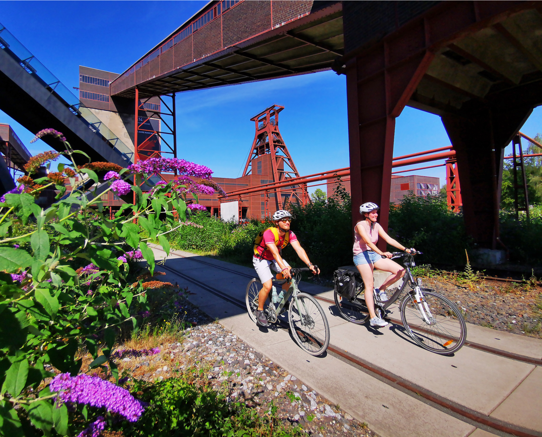
Railway cycling and industrial heritage in the Ruhr area – RevierRouten
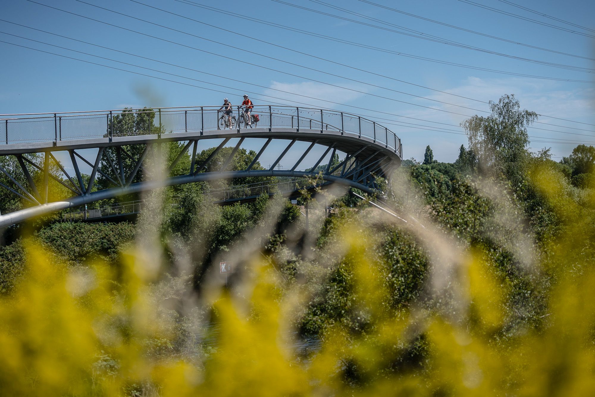
Visiting the neighbour – cycling Tours in the Ruhr area and Düsseldorf
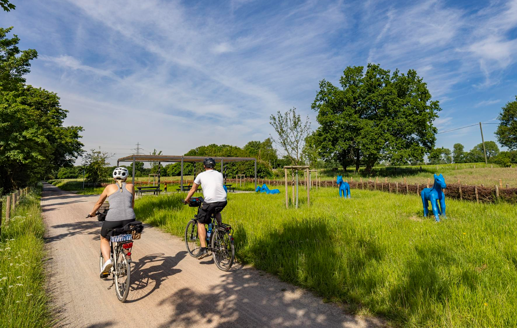
Healthy cycling on Germany’s Emscher River
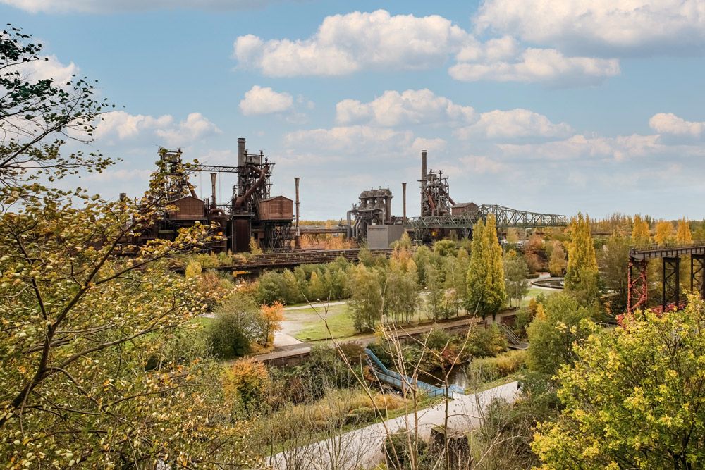
Nature, industrial heritage and the Ruhr – Emscher Park Cycle Route
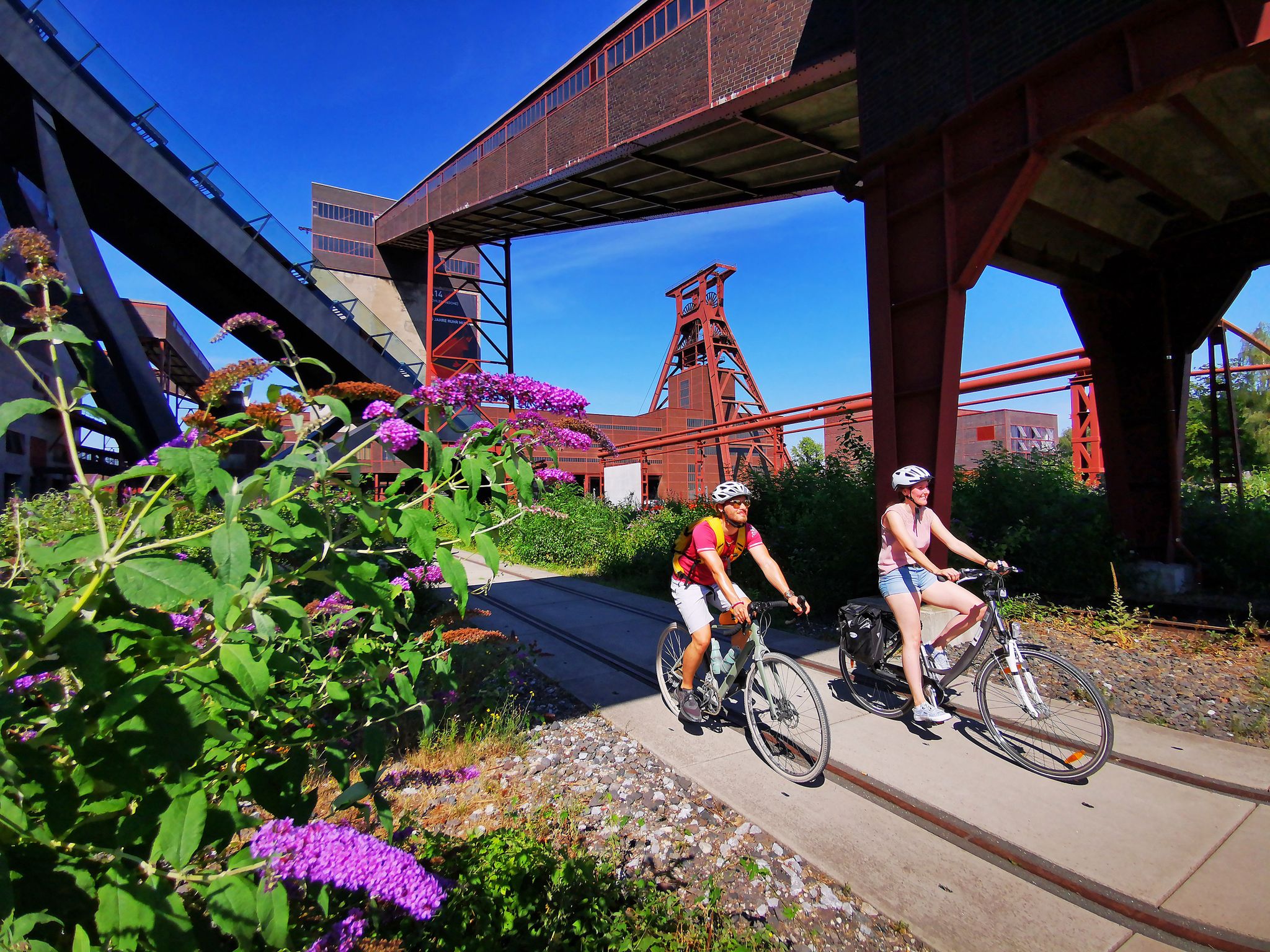
The RevierRouten in the radrevier.ruhr
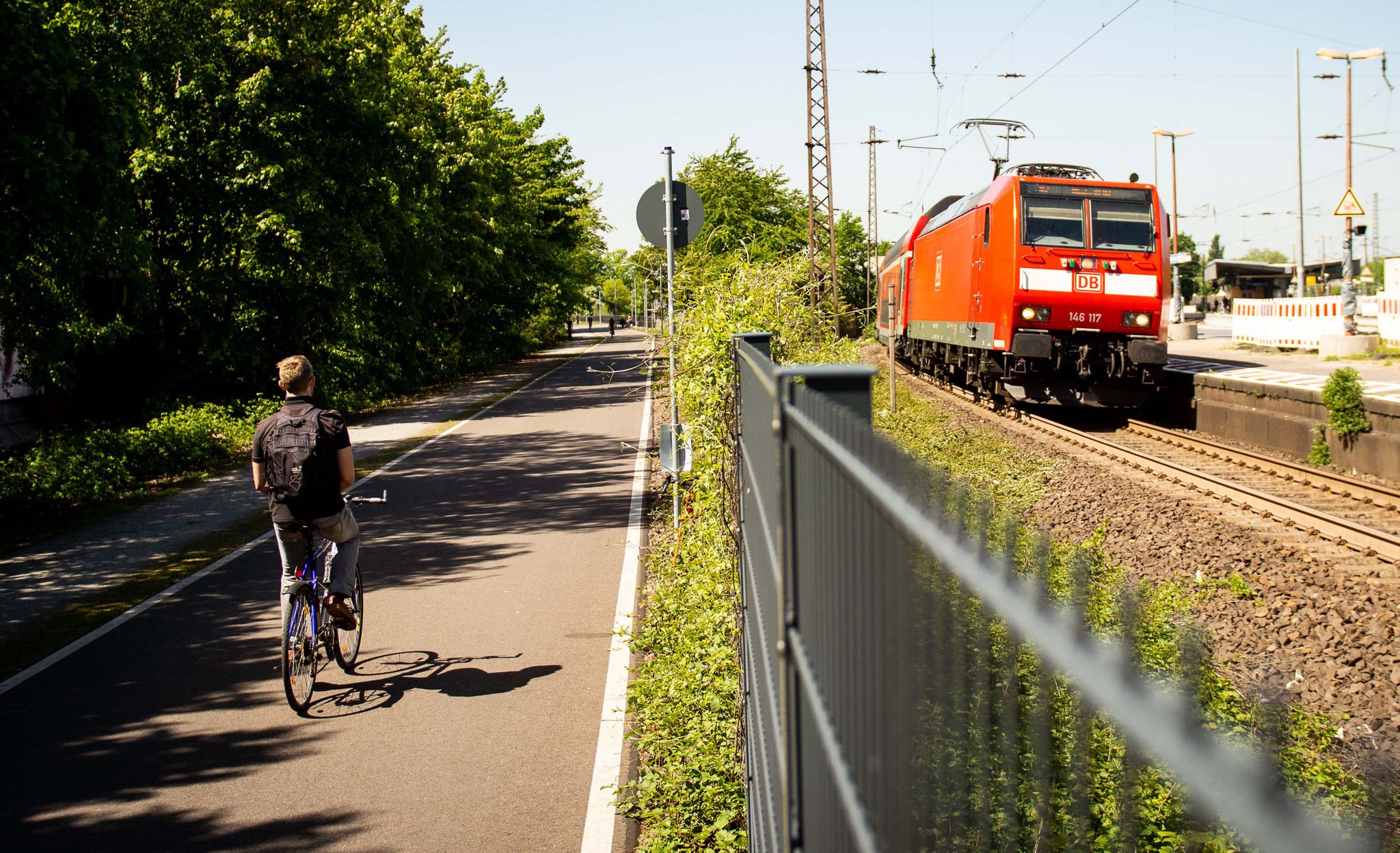
Cycle the most beautiful railway tracks – Germany’s Ruhr area (west and south)
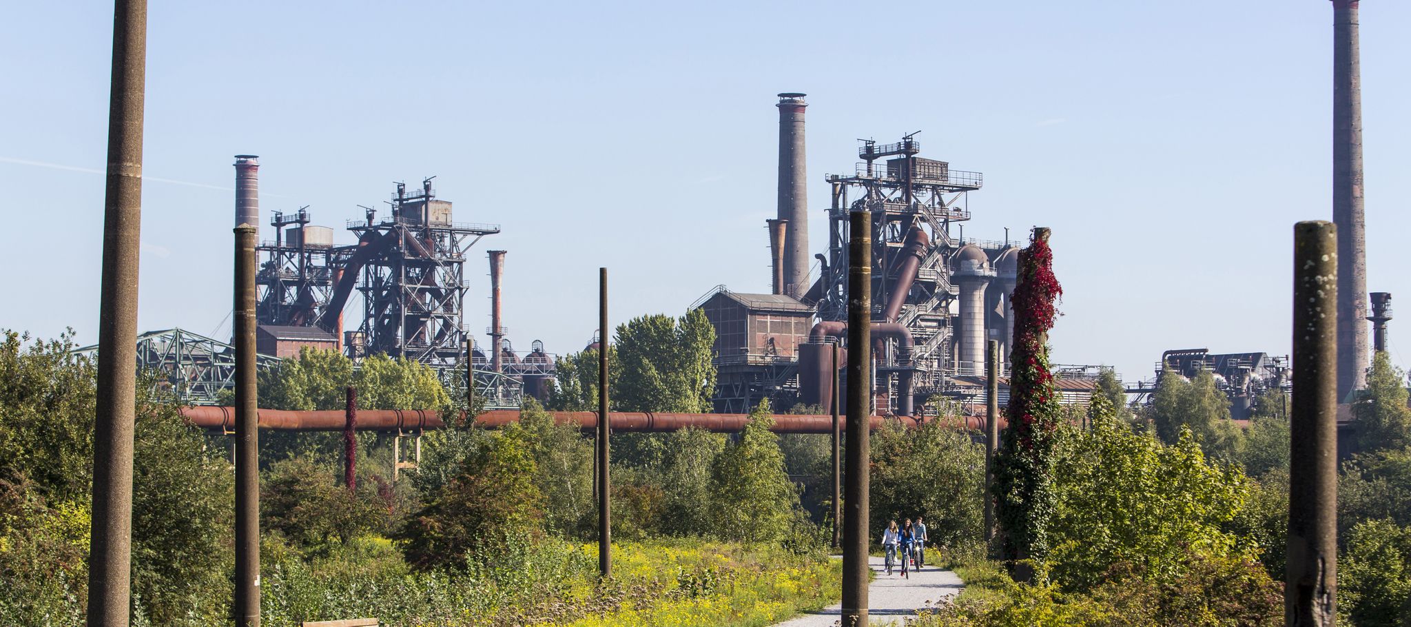
Industry, history, nature — a colorful journey through the radrevier.ruhr
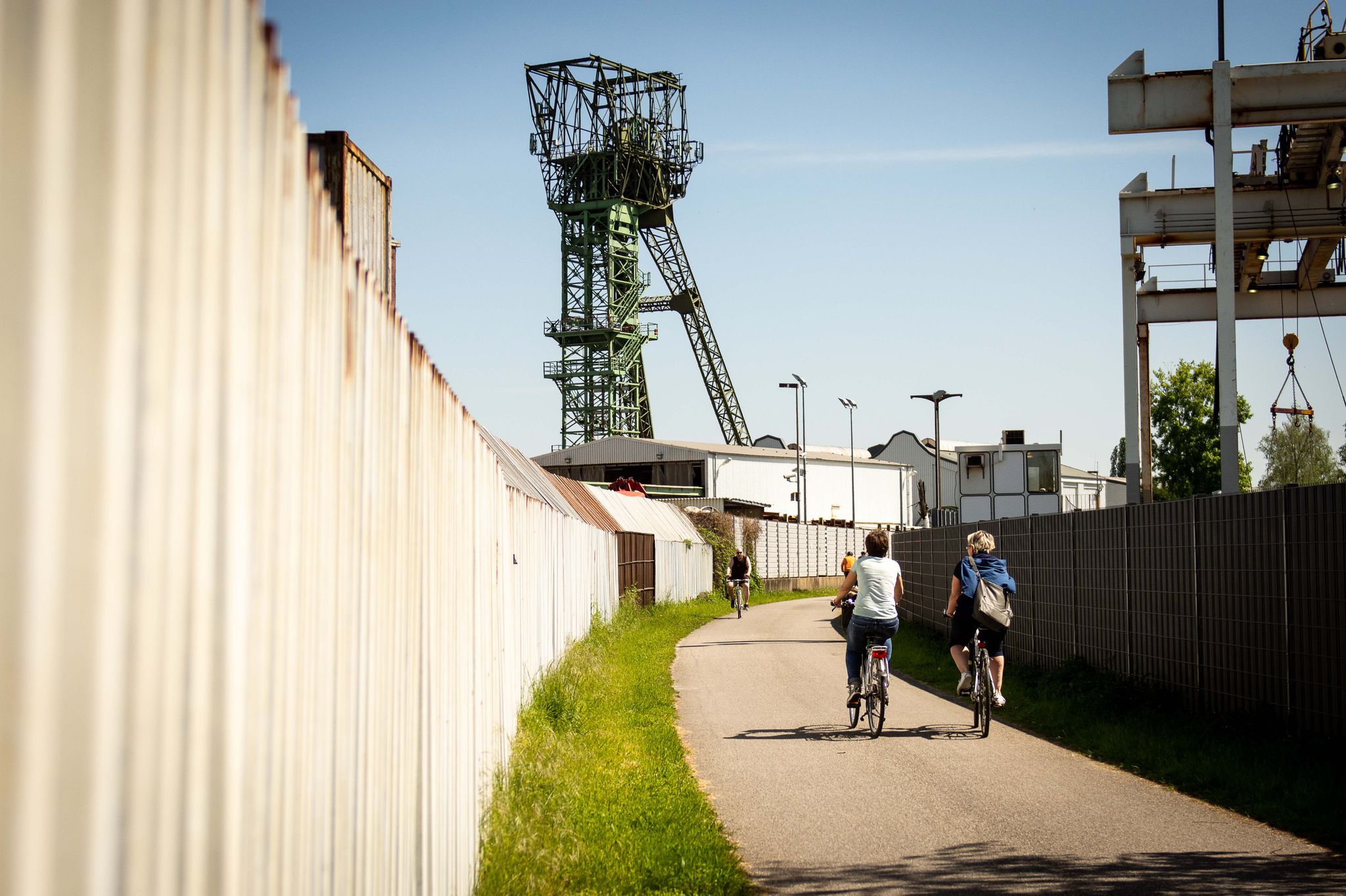
Experience cycling between coal and nature: the radrevier.ruhr
Ruhr area's best after-work rides
Other adventures around Oberhausen


Tips from the Community

Lost Places and industrial culture up close
0
0

Compared to other city centers, still a colorful mix of shops. The downside: cleanliness in the immediate vicinity of the Technical Town Hall is maintained, but a few hundred meters further, around the old Finke furniture store, the street is littered with fast food remnants and drift garbage.
0
0

A small footbridge by the beautiful pond in the Kaisergarten.
0
0
Here you can observe deer and some other animals up close.
0
0

One of the bunkers that were built for the population during the Second World War.
0
0

The headframe is the landmark of OLGA Park.
1
0


It crosses the Emscher and connects industrial culture with nature.
11
0
Frequently Asked Questions
How many urban hiking trails are available in Oberhausen?
There are over 45 urban hiking trails around Oberhausen, ranging from easy strolls to more moderate walks. Most of these routes are considered easy, making them accessible for a wide range of hikers.
What is the best time of year for urban hiking in Oberhausen?
The best season for urban hiking in Oberhausen is typically summer, when the weather is pleasant for outdoor activities. However, autumn also offers beautiful landscapes with colorful foliage, making it another excellent time to explore the city's green spaces and industrial heritage.
What do other hikers say about urban trails in Oberhausen?
The urban hiking trails in Oberhausen are highly rated by the komoot community, with an average score of 4.56 stars. Reviewers often praise the unique blend of revitalized industrial landscapes, extensive urban parks, and canal-side paths that offer diverse and interesting walking experiences.
Are there any iconic landmarks or viewpoints to see on urban hikes in Oberhausen?
Yes, several urban hikes offer views of iconic landmarks. For instance, the View of Slinky Springs to Fame – View of Gasometer Oberhausen loop provides excellent perspectives of the striking Slinky Springs to Fame Bridge and the impressive Gasometer Oberhausen, an iconic symbol of the region's industrial past.
Can I find trails that showcase Oberhausen's industrial heritage?
Absolutely. Oberhausen is known for its successful transformation of industrial heritage into recreational spaces. Many urban hikes integrate views of former mining spoil tips, such as Halde Haniel, and iconic structures like the Gasometer. The House Ripshorst – Osterfeld Colliery loop is a moderate route that allows you to experience this unique blend of nature and industrial history.
Are there urban trails that pass through green parks or along canals?
Yes, Oberhausen offers numerous urban trails that wind through beautiful green parks and along picturesque canals. The Lake in Kaisergarten – Crown sculpture, Kaisergarten loop takes you through the popular Kaisergarten, featuring an idyllic lake and diverse plant species. You can also find routes along the Rhein-Herne Canal, which provides linear green corridors perfect for relaxing walks.
Are the urban hiking trails in Oberhausen accessible by public transport?
Many urban hiking trails in Oberhausen are well-connected to public transport networks, making them easily accessible without a car. Routes often start near city centers or train stations, allowing you to reach the starting points conveniently. It's always a good idea to check local transport schedules for specific trailheads.
Are there urban hikes suitable for beginners or those looking for an easy walk?
Yes, the majority of urban hikes in Oberhausen are classified as easy, making them ideal for beginners, families, or anyone seeking a leisurely stroll. For example, the Sterkrade City Center – Old Town Hall Sterkrade loop is a short and easy route perfect for a relaxed walk through the city.
Are there urban hiking routes that are circular?
Many of the urban hiking routes in Oberhausen are designed as circular loops, allowing you to start and end your walk at the same point without needing to retrace your steps. This is convenient for exploring different areas and ensures a varied experience. The Emscher Bridge Grüner Pfad – Emschertalbahn Cycle Path loop is a great example of a circular route.
Are urban hiking trails in Oberhausen suitable for families with children?
Yes, Oberhausen's urban hiking trails are generally very family-friendly. Many routes pass through parks like the Kaisergarten, which offers amenities such as a free animal enclosure and adventure playgrounds. The easy difficulty of most trails also makes them suitable for children of various ages.
Can I bring my dog on urban hikes in Oberhausen?
Most urban hiking trails in Oberhausen are dog-friendly, allowing you to enjoy a walk with your canine companion. It's always recommended to keep your dog on a leash, especially in urban parks and along canals, and to be mindful of local regulations regarding pets in specific areas. Please ensure you clean up after your dog to keep the trails enjoyable for everyone.
Where can I find more information about nature and recreation in Oberhausen?
For additional information about nature and recreation opportunities in Oberhausen, you can visit the official tourism website: oberhausen-tourismus.de. This resource provides further details on green spaces, parks, and outdoor activities in the region.
Most popular routes around Oberhausen
Most popular attractions around Oberhausen

Get inspired with the komoot mobile app


Didn’t find what you were looking for?
Check out more Hikes throughout Oberhausen below and find the perfect route in your destination.
Explore more
Browse the best Hikes in other regions.
