The best walks and hikes around Oberhausen
4.5
(2724)
14,128
hikers
513
hikes
Hiking trails around Oberhausen offer a diverse landscape, blending former industrial sites with reclaimed green spaces and river valleys. The region is characterized by its network of paths through urban parks, along waterways like the Emscher, and over elevated slag heaps, known as Halden, which provide panoramic views. These trails navigate through a mix of wooded areas and open recreational zones.
Best hiking trails around Oberhausen
- The most popular hiking route is View of Gasometer Oberhausen – Ripshorst Arboretum loop from Gasometer Oberhausen, a 6.3 miles (10.1 km) trail that takes 2 hours 35 minutes to complete. This moderate route combines views of a prominent industrial landmark with natural arboretum paths.
- Another top favourite among local hikers is Halde Haniel Mountain Arena – Start of Kreuzweg loop from Halde Haniel, a difficult 2.2 miles (3.6 km) path. This route ascends a prominent slag heap, offering expansive views of the surrounding area.
- Local hikers also love the Rotbach Nature Reserve – Heath lake loop from NSG Im Fort westlich der Vellenfurth, a 13.8 miles (22.2 km) trail leading through natural reserve landscapes, often completed in about 5 hours 42 minutes.
- Hiking around Oberhausen is defined by its blend of urban green spaces, river paths, and elevated industrial heritage sites like the Halden. The network offers options for various ability levels, from easy strolls to more challenging climbs.
- The routes in Oberhausen are highly rated by the komoot community with an average score of 4.6 stars from over 2400 reviews. More than 12,800 hikers have used komoot to explore Oberhausen's varied terrain.
Last updated: May 12, 2026
4.5
(103)
414
hikers
Moderate hike. Good fitness required. Easily-accessible paths. Suitable for all skill levels.
4.7
(67)
213
hikers
Hard hike. Very good fitness required. Easily-accessible paths. Suitable for all skill levels.

Sign up for free
4.7
(65)
177
hikers
Moderate hike. Good fitness required. Easily-accessible paths. Suitable for all skill levels.
4.6
(42)
195
hikers
8.15km
02:29
160m
160m
Hard hike. Good fitness required. Sure-footedness, sturdy shoes and alpine experience required.
4.9
(43)
284
hikers
3.25km
01:03
110m
110m
Hard hike. Great for any fitness level. Sure-footedness, sturdy shoes and alpine experience required.
4.6
(104)
390
hikers
Moderate hike. Good fitness required. Easily-accessible paths. Suitable for all skill levels.
4.4
(36)
144
hikers
4.76km
01:13
20m
20m
Easy hike. Great for any fitness level. Easily-accessible paths. Suitable for all skill levels.
4.5
(105)
464
hikers
14.3km
04:00
180m
180m
Hard hike. Good fitness required. Sure-footedness, sturdy shoes and alpine experience required.
4.6
(69)
301
hikers
Easy hike. Great for any fitness level. Easily-accessible paths. Suitable for all skill levels.
4.4
(20)
130
hikers
Easy hike. Great for any fitness level. Easily-accessible paths. Suitable for all skill levels.
Get access to more routes and recommendations from other explorers.
Sign up for free
Already have an account?
Our route recommendations are based on thousands of hikes, rides, and runs completed by other people on komoot.
Start today with a free account
Your next adventure awaits.
Login or Signup
Popular around Oberhausen
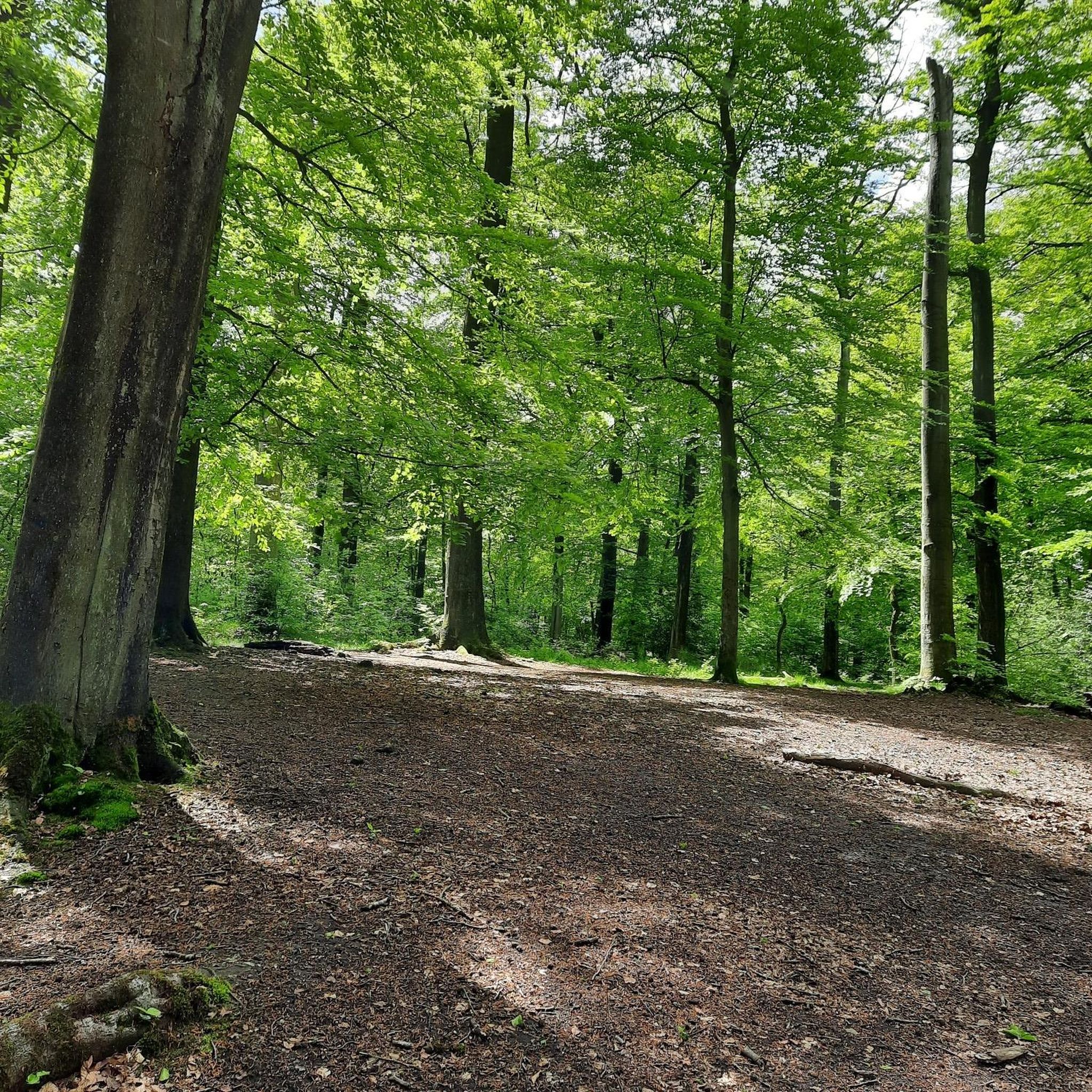
Hiking in Nsg Hiesfelder Wald
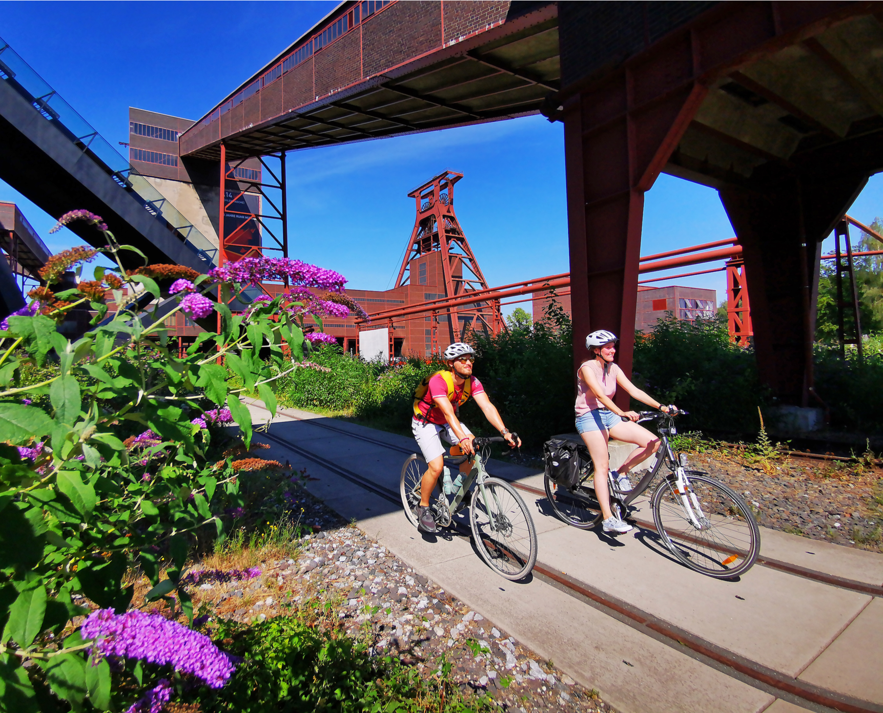
Railway cycling and industrial heritage in the Ruhr area – RevierRouten
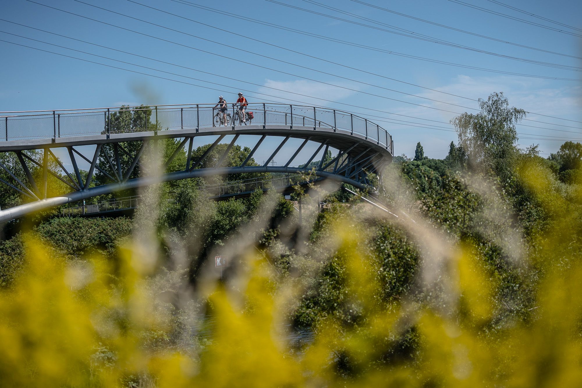
Visiting the neighbour – cycling Tours in the Ruhr area and Düsseldorf
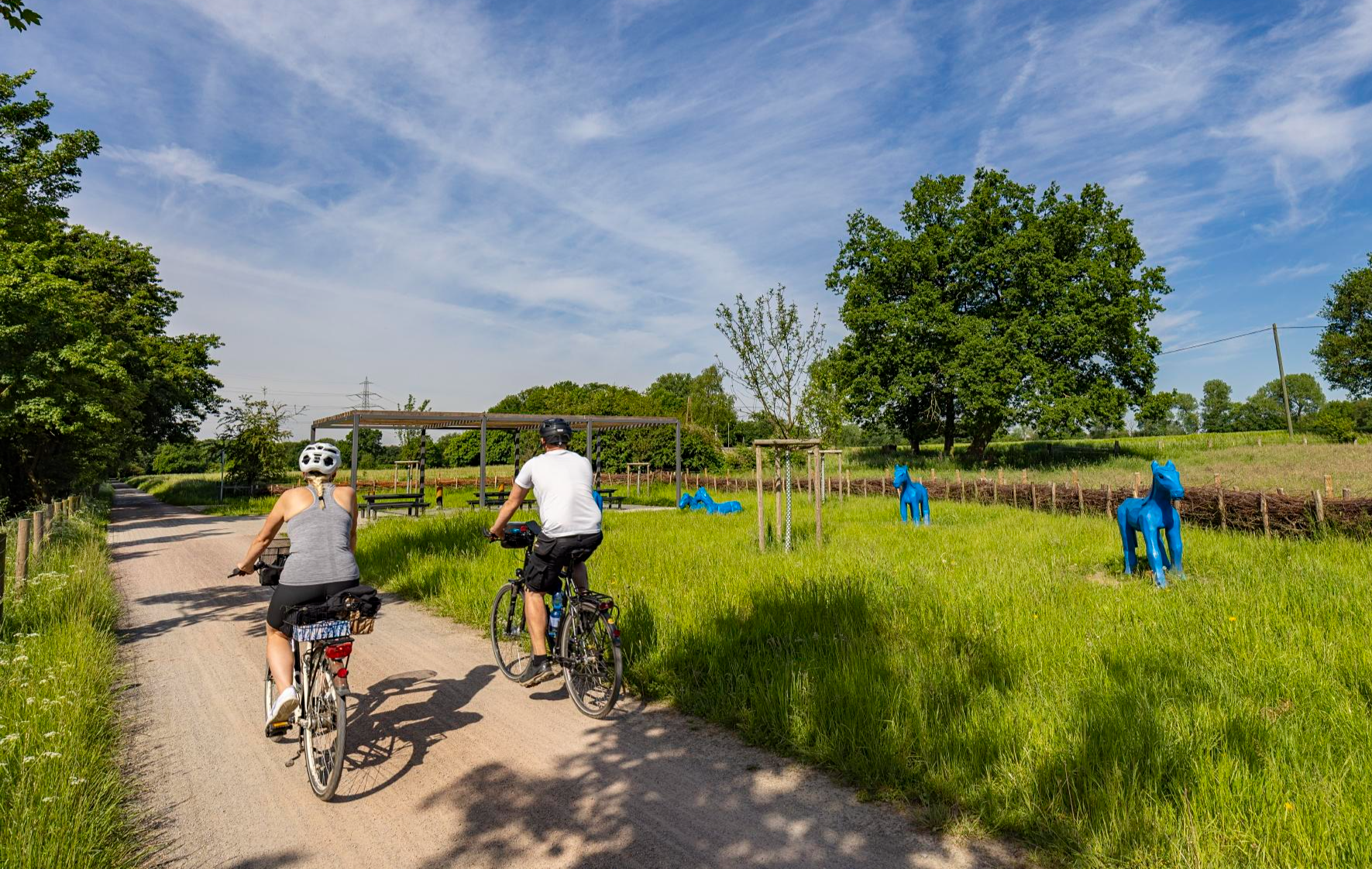
Healthy cycling on Germany’s Emscher River
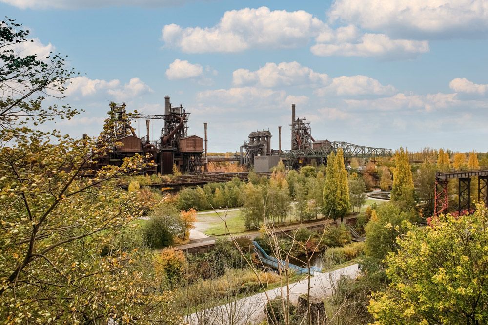
Nature, industrial heritage and the Ruhr – Emscher Park Cycle Route
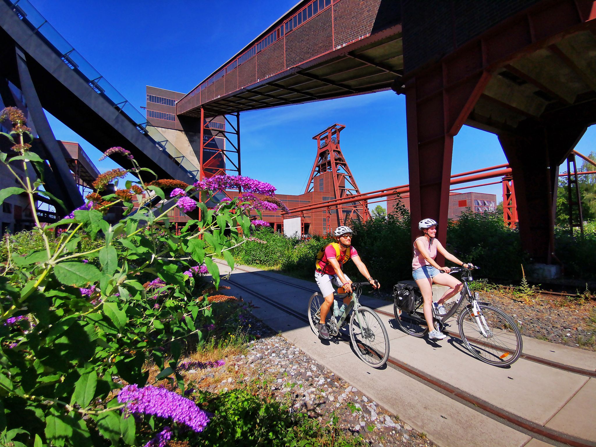
The RevierRouten in the radrevier.ruhr
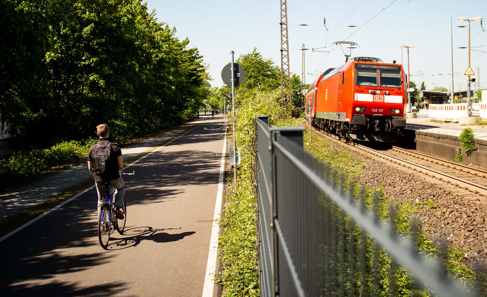
Cycle the most beautiful railway tracks – Germany’s Ruhr area (west and south)
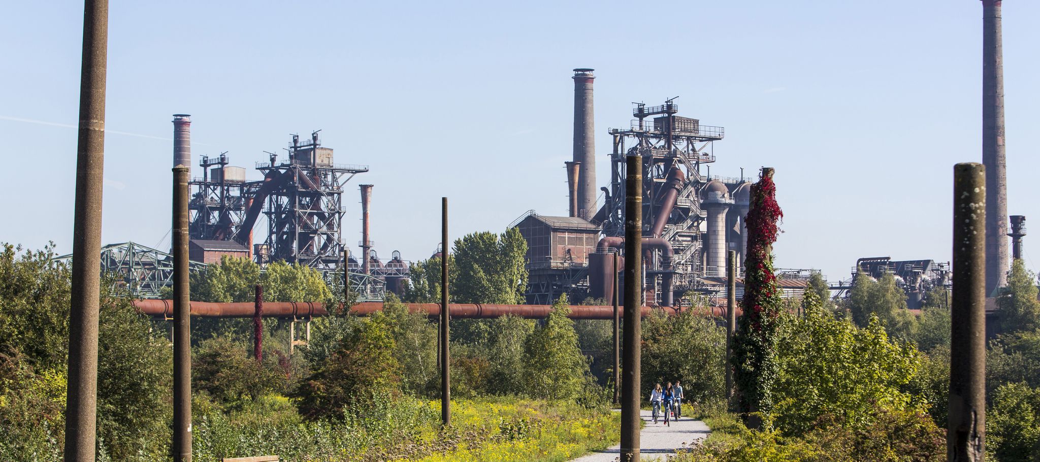
Industry, history, nature — a colorful journey through the radrevier.ruhr
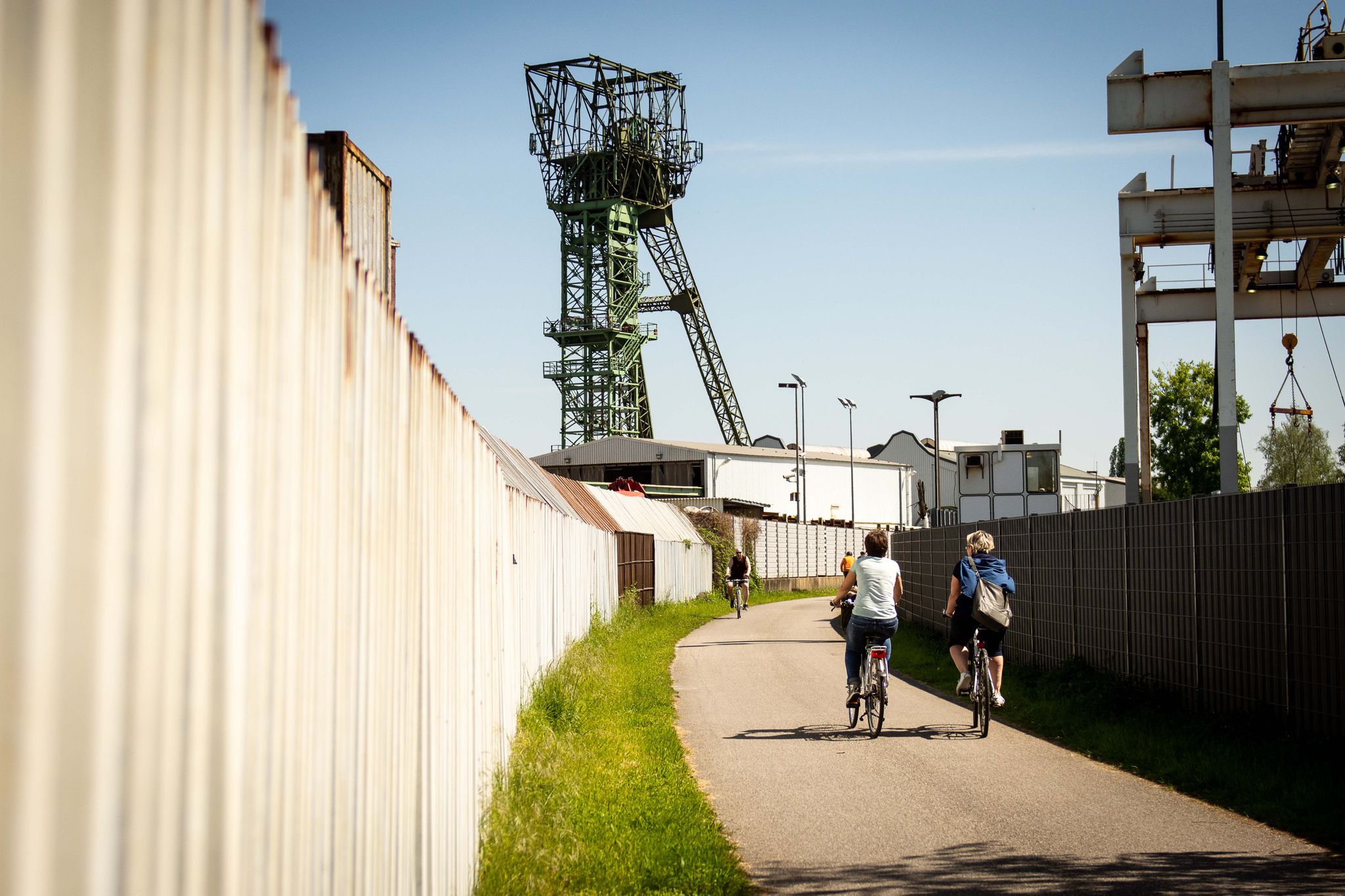
Experience cycling between coal and nature: the radrevier.ruhr
Ruhr area's best after-work rides
Other adventures around Oberhausen


Tips from the Community

A small footbridge by the beautiful pond in the Kaisergarten.
0
0
Here you can observe deer and some other animals up close.
0
0

The headframe symbolizes the "old Ruhr region" today and has, in my opinion, an interesting shape. Due to the fact that this mine was the last in the Ruhr region to cease operations, it even has a unique selling point.
0
0


If you know what to look for, you can spot the tetrahedron.
0
0

Very nice path for a hike
0
0

Crown in front of meadow, OK...
1
1
Always a highlight, but it all depends on when you're there. It tends to get crowded on weekends...
3
0
Frequently Asked Questions
How many hiking trails are available around Oberhausen?
There are over 520 hiking routes documented around Oberhausen on komoot, catering to a wide range of preferences and skill levels. This includes 385 easy, 103 moderate, and 32 difficult trails.
Are there easy hiking trails suitable for beginners in Oberhausen?
Yes, Oberhausen offers many easy trails perfect for beginners. For example, the Emscher River – Brachenthron (Brache Vondern) loop from Osterfeld is an easy 4.7 km route that takes about 1 hour 10 minutes. Another accessible option is the View of Slinky Springs to Fame – View of Gasometer Oberhausen loop from Gasometer Oberhausen, which is 6.2 km and takes around 1 hour 35 minutes.
What kind of landscapes can I expect on hikes in Oberhausen?
Hiking around Oberhausen offers a unique blend of urban green spaces, river paths along waterways like the Emscher, and elevated industrial heritage sites known as Halden. You'll find trails through wooded areas, reclaimed industrial landscapes, and parks, often providing panoramic views from the Halden.
Are there any family-friendly hiking routes in Oberhausen?
Many of the easy and moderate trails in Oberhausen are suitable for families. The region's parks and less strenuous routes, such as those along the Emscher River, provide pleasant environments for walks with children. Look for routes with minimal elevation gain and shorter distances for a comfortable family outing.
Can I bring my dog on the hiking trails in Oberhausen?
Most hiking trails in Oberhausen are dog-friendly, especially those through parks and natural areas. It's always recommended to keep dogs on a leash, particularly in nature reserves or areas with wildlife, and to check local regulations for specific trails.
What are some interesting landmarks or attractions to see along the hiking trails?
Oberhausen's trails often lead past fascinating landmarks. You can explore natural monuments like OLGA Park or the Hexbachtal and Läppkesmühlenbach Nature Reserve. For historical interest, trails might pass by castles such as Vondern Castle or the Holten Fort. The iconic Gasometer Oberhausen is also a prominent feature on several routes.
Are there any circular hiking routes in Oberhausen?
Yes, many routes in Oberhausen are designed as circular walks, allowing you to start and end at the same point. An example is the View of Gasometer Oberhausen – Ripshorst Arboretum loop from Gasometer Oberhausen, a moderate 10.1 km trail. Another option is the challenging Rotbach Nature Reserve – Heath lake loop from NSG Im Fort westlich der Vellenfurth, which is 22.2 km.
What do other hikers enjoy most about hiking in Oberhausen?
The hiking trails in Oberhausen are highly rated by the komoot community, with an average score of 4.6 stars from over 2,400 reviews. Reviewers often praise the unique blend of industrial heritage and green spaces, the well-maintained paths, and the surprising variety of landscapes, especially the panoramic views from the Halden.
Are there any challenging hikes with significant elevation in Oberhausen?
While Oberhausen is generally flat, the elevated slag heaps (Halden) provide opportunities for more challenging climbs. The Halde Haniel Mountain Arena – Start of Kreuzweg loop from Halde Haniel is a difficult 3.6 km route with notable elevation gain, offering expansive views. Another difficult option is the View of the Tetrahedron – Start of Kreuzweg loop from Halde Haniel, which is 14.6 km.
Are there hiking trails accessible by public transport in Oberhausen?
Many starting points for hiking trails in Oberhausen are well-connected by public transport, especially those closer to urban centers or popular attractions like the Gasometer. It's advisable to check local bus and tram schedules to plan your access to specific trailheads.
Where can I find parking for hiking trails in Oberhausen?
Parking is generally available near popular trailheads and recreational areas in Oberhausen. For routes starting near attractions like the Gasometer or larger parks, dedicated parking lots are often provided. For trails in more natural or residential areas, street parking might be an option, but always check local signage.
What is the best time of year for hiking in Oberhausen?
Hiking in Oberhausen is enjoyable year-round. Spring brings blooming greenery, while autumn offers beautiful foliage, especially in wooded areas. Summer is great for longer days, and even winter can be pleasant for a crisp walk, particularly on the well-maintained paths. Always check weather conditions before heading out.
Most popular routes around Oberhausen
Most popular attractions around Oberhausen

Get inspired with the komoot mobile app


Didn’t find what you were looking for?
Check out more Hikes throughout Oberhausen below and find the perfect route in your destination.
Explore more
Browse the best Hikes in other regions.
