The best hikes from bus stations around Bezirk Zell am See
4.5
(64511)
335,121
hikers
1,317
hikes
Bus station hiking trails around Bezirk Zell am See offer access to a diverse alpine landscape in the Austrian Alps. The region is characterized by majestic mountains, glacial valleys, and pristine lakes such as Lake Zell. Hikers can explore high-altitude areas within Hohe Tauern National Park, as well as gentler terrain in the Pinzgau Grass Mountains. Water features like the Sigmund Thun Gorge and Krimml Waterfalls are also prominent natural attractions.
Best bus station hiking trails around Bezirk Zell am See
- The most popular bus station hiking route is Salzburg: Krimmler Waterfall Way - National Park Hohe Tauern, a 4.4 miles (7.1 km) trail that takes 2 hours 47 minutes to complete. This moderate route features the tiered Krimml Waterfalls within Hohe Tauern National Park.
- Another top favourite among local hikers is Valley Closure High Path, a moderate 7.0 miles (11.3 km) path. This trail offers views of the high alpine landscape and takes approximately 3 hours 34 minutes to complete.
- Local hikers also love the The Triftsteig – over the wild waters of the Saalach, a 3.6 miles (5.8 km) trail leading through a gorge carved by the Saalach river, often completed in about 1 hour 32 minutes.
- Hiking around Bezirk Zell am See is defined by high alpine peaks, glacial features, and clear mountain lakes. The extensive network of bus routes for hikers provides options for various ability levels, from easy lakeside strolls to challenging mountain ascents.
- The routes in Bezirk Zell am See are highly rated by the komoot community with an average score of 4.5 stars from more than 57,000 reviews. More than 300,000 hikers have used komoot to explore Bezirk Zell am See's varied terrain.
Last updated: August 25, 2026
4.7
(950)
3,479
hikers
7.07km
02:48
450m
450m
Moderate hike. Good fitness required. Mostly accessible paths. Sure-footedness required.
4.7
(352)
1,404
hikers
11.3km
03:34
440m
440m
Moderate hike. Good fitness required. Mostly accessible paths. Sure-footedness required.

Sign up for free
4.8
(270)
912
hikers
5.77km
01:32
60m
60m
Easy hike. Great for any fitness level. Easily-accessible paths. Suitable for all skill levels.
4.8
(161)
828
hikers
7.20km
02:21
540m
Moderate hike. Good fitness required. Easily-accessible paths. Suitable for all skill levels.
4.7
(124)
554
hikers
8.01km
02:44
360m
360m
Moderate hike. Good fitness required. Mostly accessible paths. Sure-footedness required.
Get access to more routes and recommendations from other explorers.
Sign up for free
Already have an account?
Our route recommendations are based on thousands of hikes, rides, and runs completed by other people on komoot.
Start today with a free account
Your next adventure awaits.
Login or Signup
Popular around Bezirk Zell am See
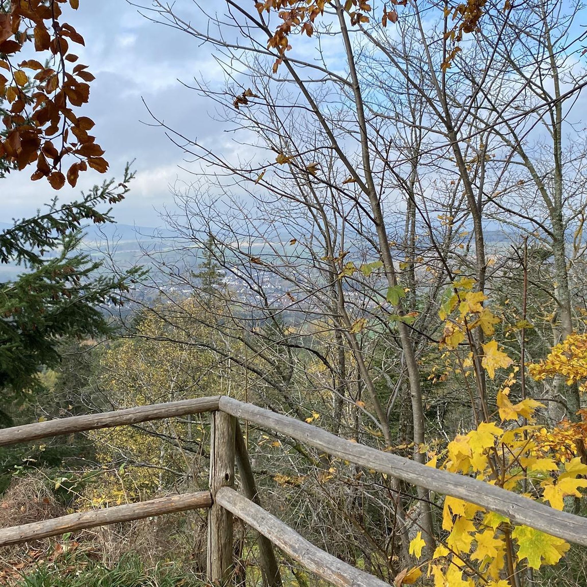
Hikes from bus stations around Mooserboden

Hikes from bus stations around Sankt Martin bei Lofer
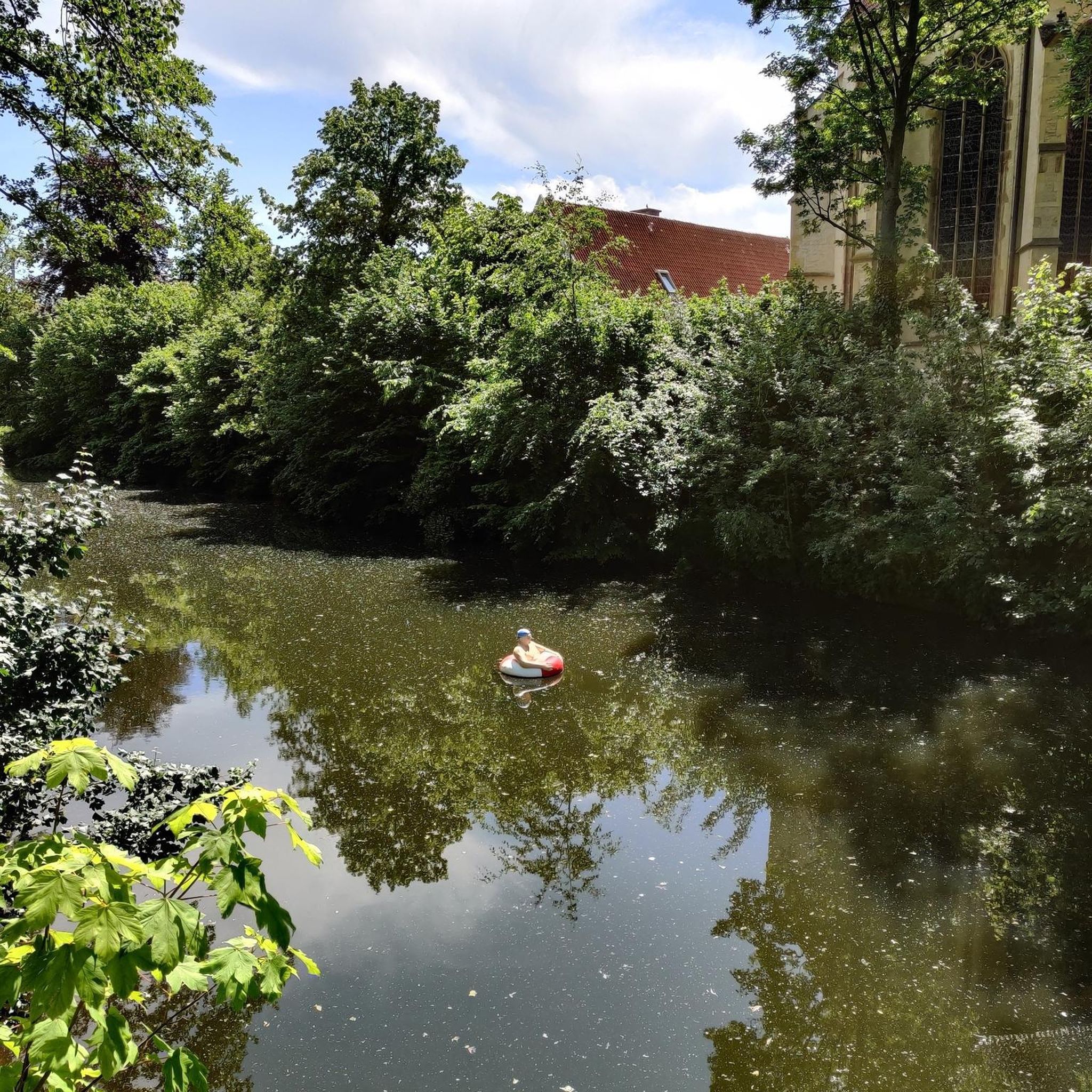
Hikes from bus stations around Dießbachstausee

Hikes from bus stations around Saalfelden am Steinernen Meer
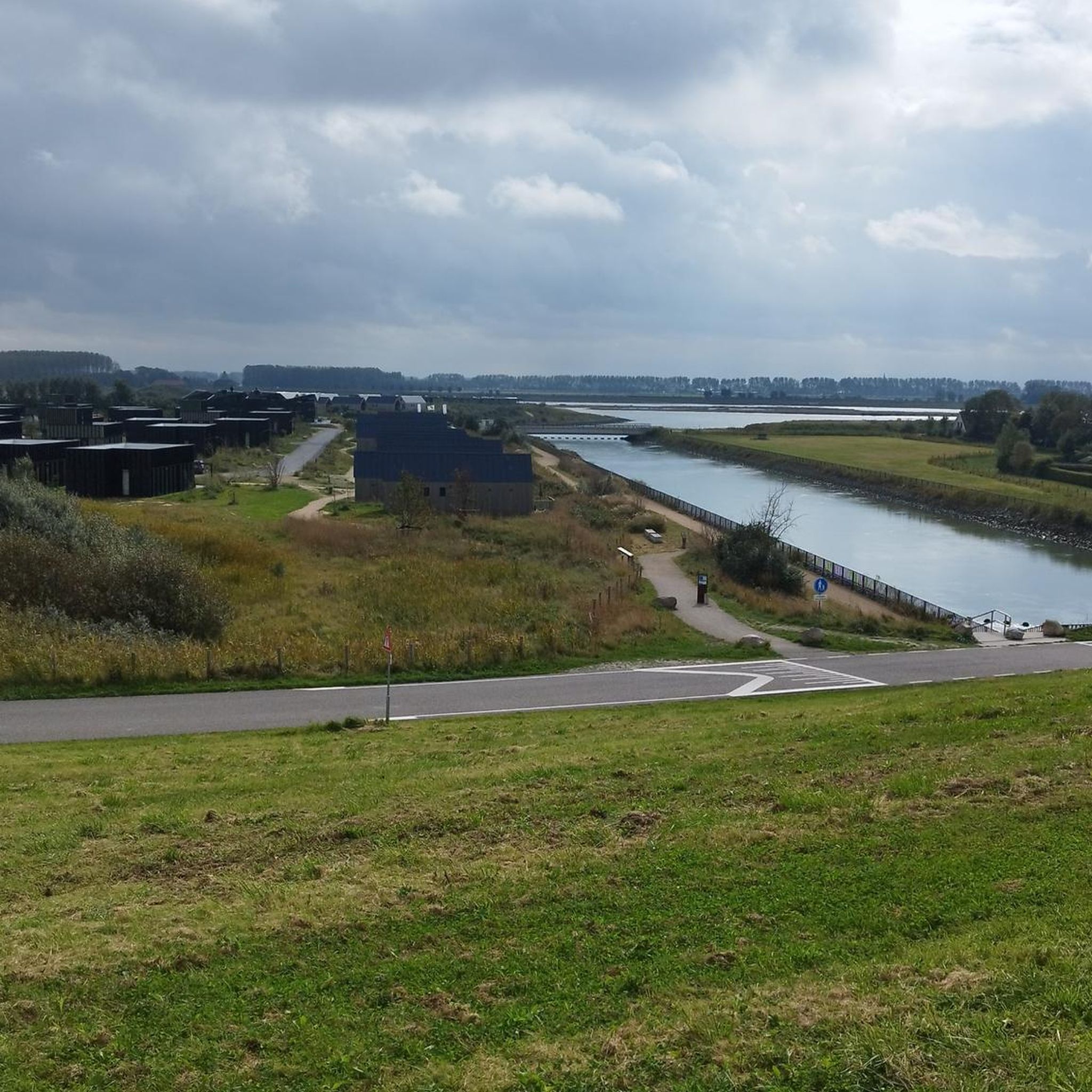
Hikes from bus stations around Wasserfallboden
Hikes from bus stations around Weißbach bei Lofer
Hikes from bus stations around Tauernmoossee
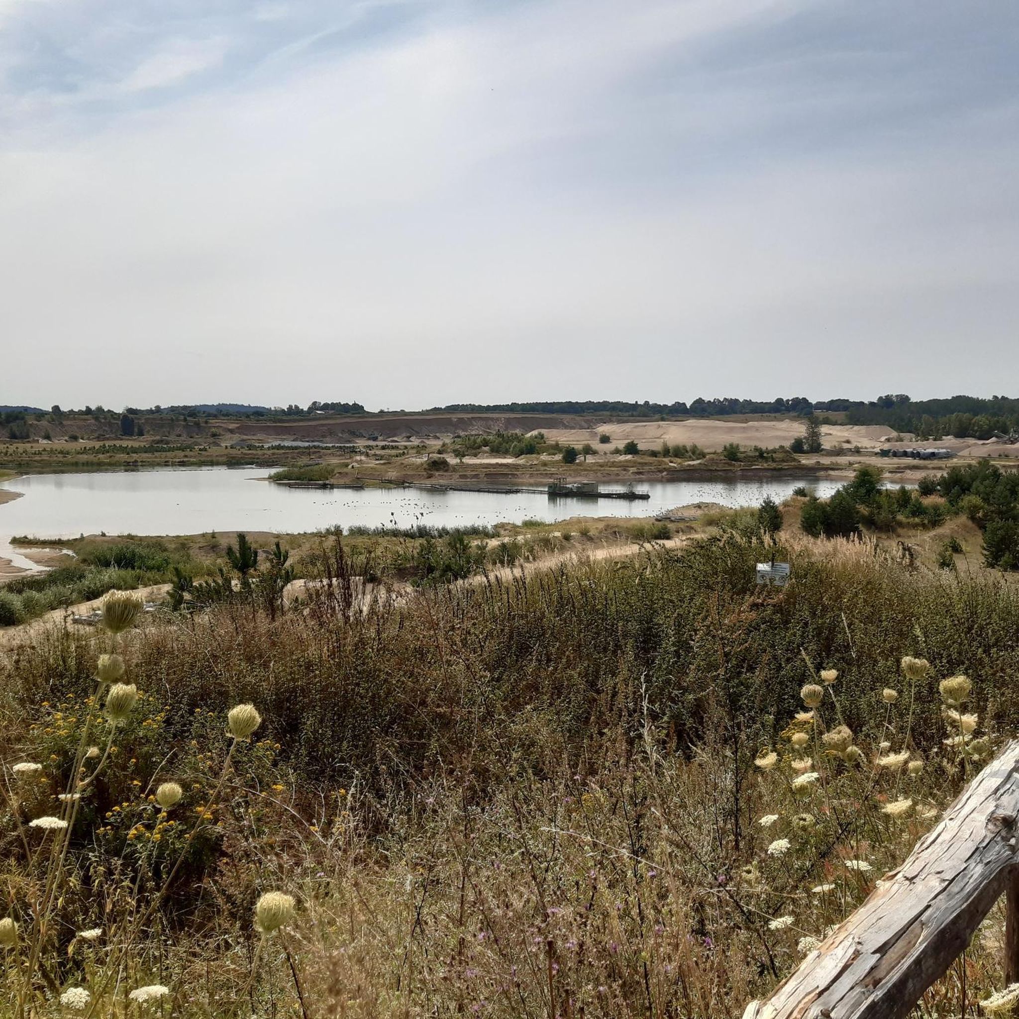
Hikes from bus stations around Seebach Lake
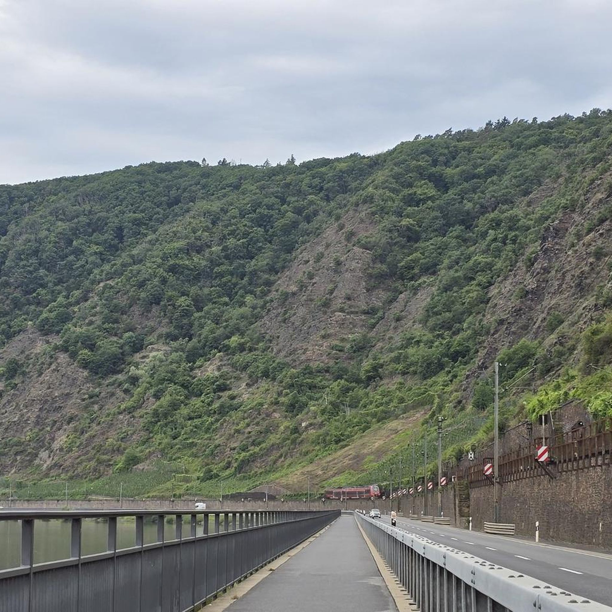
Hikes from bus stations in Weißbach Nature Park
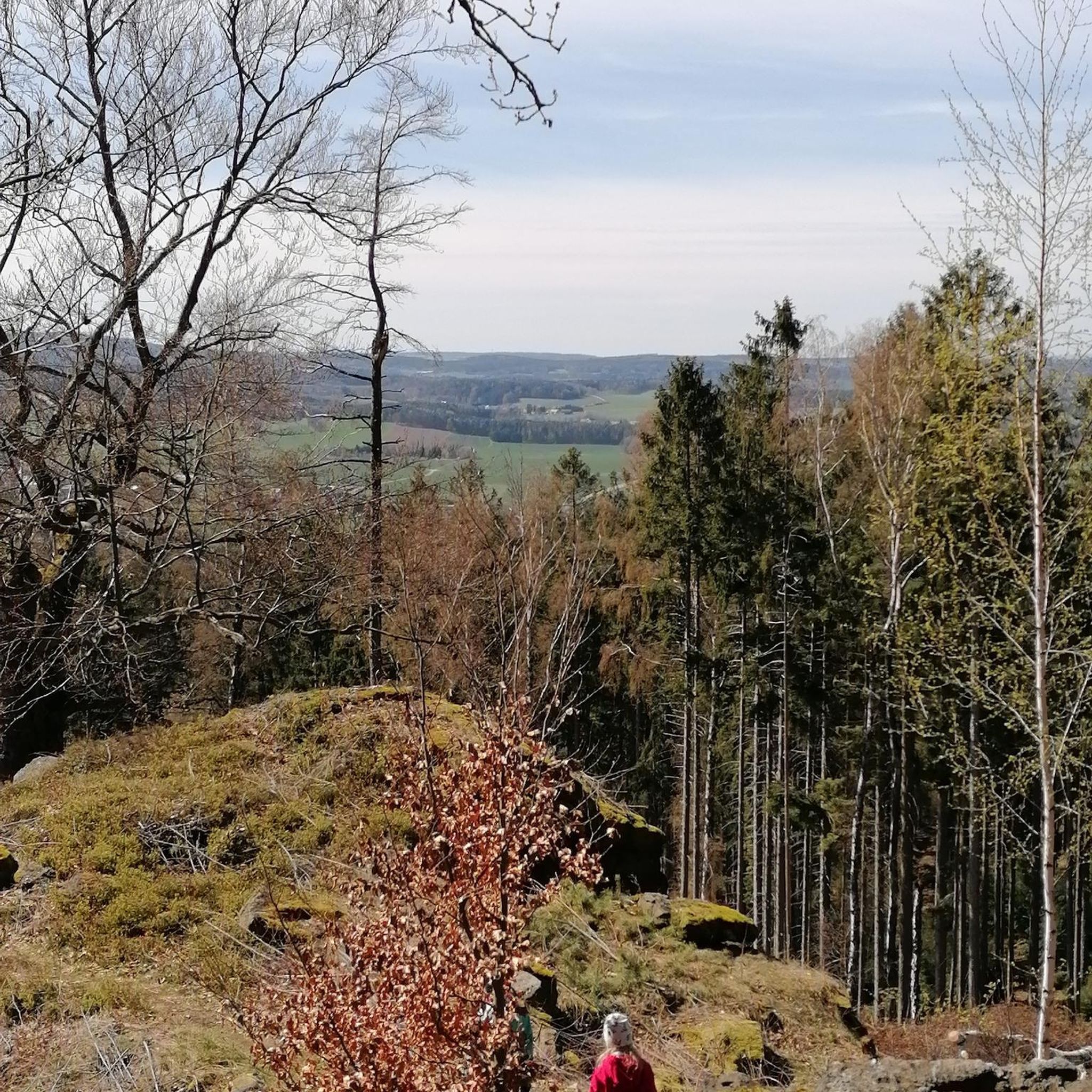
Hikes from bus stations around Speicher Durlaßboden
Other adventures around Bezirk Zell am See


Tips from the Community

The view offers a wide panorama over Saalbach and Hinterglemm. Those who start early enough will have the Glemmtal all to themselves before other guests arrive on the terrace.
1
0

Devil's Gorge near Lofer
0
0

Quaint, crooked, with smoke-blackened walls and ceilings inside. You feel like you've been transported back to a bygone era. Yes, you can see and smell the hut's age; it has a certain charm. Very friendly hosts. Wonderful view of the valley from outside. Highly recommended.
0
1

... the "Triefen" near "Hinterthal" in the Hochkönig region. - They were declared a natural monument in 2001 - The name "Triefen" refers to the rain-like curtains of drops - Information board available (somewhat weathered) - The Triefen is a water feature over an impermeable rock layer located about 2-3 meters above the "Urslau" River, creating a rain-like curtain of drops approximately 100 meters wide - The special scientific significance lies in the horizontal course of the spring, which causes the water curtain over the hard conglomerate body - In addition, the impressive spring tuff-like moss flora formed by numerous moss species, ferns, and other plant species https://www.hochkoenig.at/de/infrastruktur/maria-alm-triefen-wasserfall-hinterthal.html Note 2025 - The "former" circular trail (left and right of the "Urslau") no longer exists - From "Hinterthal" the outward and return journey is the same
0
0
- The "Holy Trinity Church" in Hinterthal in the Hochkönig region of the Zell am See district (Austria). - Dating from 1678, expanded in the mid-18th century - The altarpiece depicts the Most Holy Trinity crowning the Mother of God - Open during the day - https://www.pfarre-mariaalm.at/kirchen-kapellen - https://www.hochkoenig.at/de/infrastruktur/maria-alm-kirche-hinterthal.html
0
0
...the "Butterfly Adventure Trail" - this themed trail is located near Hinterthal (a district of Maria Alm) in the Zell am See district (Austria). - runs along hiking trail no. 401A. - just under 3 km long, with an elevation gain of approximately 250 meters. - several information boards provide information about the region's colorful butterflies. - the descent is the same as the ascent. - https://www.hochkoenig.at/de/touren/schmetterlings-erlebnisweg.html Description: - before the church in Hinterthal, turn right and hike on trail 401A, past the Obermussbach Inn, towards the Mussbachalm. After 10 minutes, the Butterfly Trail begins, ending above the Mussbachalm.
0
0
... near Hinterthal (a district of Maria Alm) in the Zell am See district (Austria) - Accessible via hiking trail no. 401A, among others - Steep, steep climb from Hinterthal - Closed in 2025: Mondays and Tuesdays https://www.hochkoenig.at/de/infrastruktur/maria-alm-mussbachalm-1213-m.html
0
0

Quaint, cozy, with great views and beautiful scenery all around. Remember to bring cash.✌️
0
0
Frequently Asked Questions
How many bus-accessible hiking trails are available in Bezirk Zell am See?
There are over 1,300 hiking routes in Bezirk Zell am See that are accessible by bus, offering a wide range of options for all skill levels.
What kind of difficulty levels can I expect on bus-accessible hiking trails in Bezirk Zell am See?
The trails accessible by bus in Bezirk Zell am See cater to all abilities. You'll find over 475 easy routes, 550 moderate trails, and more than 260 challenging options, ensuring there's a suitable hike for everyone.
Are there any bus-accessible hiking trails that feature waterfalls?
Yes, Bezirk Zell am See is home to impressive waterfalls. You can take a bus to access trails near the Krimml Waterfalls Trail, Austria's highest waterfalls, offering a powerful natural spectacle. A great option is the Salzburg: Krimmler Waterfall Way - National Park Hohe Tauern route, which is a moderate hike.
Which bus-accessible trails are suitable for families with children?
Many trails in Bezirk Zell am See are family-friendly. For an easy and engaging experience, consider routes around Lake Zell or Lake Klamm. The region also offers adventure trails like Schmidolin's Baptism of Fire, which are designed with children in mind.
Can I bring my dog on bus-accessible hiking trails in Bezirk Zell am See?
Generally, dogs are welcome on hiking trails in Bezirk Zell am See, provided they are kept on a leash, especially in nature protection areas or near livestock. Public transport rules for dogs may vary, so it's advisable to check with the specific bus operator before your trip.
Are there any circular hiking routes accessible by bus?
Yes, the region offers several circular routes that can be reached by bus. For instance, the The Triftsteig – over the wild waters of the Saalach is an easy circular option, allowing you to start and end your hike at the same bus stop.
What are some scenic viewpoints or natural features I can explore on bus-accessible hikes?
Bezirk Zell am See boasts stunning natural beauty. Many bus-accessible trails lead to panoramic viewpoints on mountains like Schmittenhöhe, offering views of up to thirty 3,000-meter peaks. You can also explore the mystical Sigmund Thun Gorge or enjoy the serene beauty of Lake Zell and Lake Klamm.
What is the best time of year for bus-accessible hiking in Bezirk Zell am See?
The best time for hiking in Bezirk Zell am See is typically from late spring to early autumn (May to October), when the weather is mild, and trails are clear of snow. However, some lower-altitude trails and winter hiking paths are also accessible by bus during the colder months.
Are there any bus-accessible trails that lead to mountain huts or places with refreshments?
Yes, many hiking routes in Bezirk Zell am See are designed to pass by or lead to traditional mountain huts and alpine pastures where you can enjoy local refreshments and meals. These huts often serve as excellent rest stops and offer stunning views.
What do other hikers enjoy most about bus-accessible trails in Bezirk Zell am See?
The komoot community highly rates the hiking experience in Bezirk Zell am See, with an average score of 4.5 stars. Hikers frequently praise the diverse landscapes, from pristine lakes to majestic alpine peaks, and the convenience of accessing trailheads via public transport.
Are there any bus-accessible trails that offer a high-alpine experience?
While many high-alpine routes require more extensive travel, some bus routes can bring you closer to the starting points for more challenging hikes. For a taste of the high mountains, consider routes that offer views of the Kitzsteinhorn Glacier or lead towards the Kaprun High Mountain Reservoirs, which are often reachable via specific bus services or cable car connections from bus stops.
Most popular routes around Bezirk Zell am See
Most popular attractions around Bezirk Zell am See

Get inspired with the komoot mobile app


Didn’t find what you were looking for?
Check out more Hikes throughout Bezirk Zell am See below and find the perfect route in your destination.
Explore more
Browse the best Hikes in other regions.
