The best hikes from bus stations in Schliersee
4.6
(15199)
90,128
hikers
141
hikes
Bus station hiking trails in Schliersee are situated within the Bavarian Alps, specifically the Mangfallgebirge range, offering varied terrain. The region features the clear alpine waters of Lake Schliersee, alongside lush forests, expansive Alpine meadows, and prominent peaks like Wendelstein and Brecherspitz. This landscape provides diverse hiking opportunities, from lakeside paths to challenging mountain ascents.
Best bus station hiking trails in Schliersee
- The most popular bus station hiking route is View of the Taubenstein – View of Rotwand loop from Spitzingsee, a 8.7 miles (14.1 km) trail that takes 5 hours 51 minutes to complete. This difficult route offers expansive views of the surrounding peaks.
- Another top favourite among local hikers is Josefsthal Waterfalls – View of the Spitzingsee loop from Neuhaus, a moderate 5.8 miles (9.3 km) path. This trail features the Josefsthal Waterfalls and scenic views of Spitzingsee.
- Local hikers also love the Brecherspitz – View of Schliersee loop from Neuhaus, a 6.2 miles (10.0 km) trail leading through alpine terrain to the Brecherspitz summit, often completed in about 4 hours 48 minutes.
- Hiking in Schliersee is defined by alpine lakes, dense forests, and mountain peaks, offering varied terrain for exploration. The network provides options for different ability levels, from easy lakeside strolls to difficult mountain ascents.
- The routes in Schliersee are highly rated by the komoot community with an average score of 4.5 stars from over 15,000 reviews. More than 90,000 hikers have used komoot to explore Schliersee's varied terrain.
Last updated: May 14, 2026
4.8
(831)
4,460
hikers
14.0km
05:50
760m
760m
Hard hike. Very good fitness required. Mostly accessible paths. Sure-footedness required.
4.7
(243)
1,071
hikers
9.30km
02:59
380m
380m
Moderate hike. Good fitness required. Mostly accessible paths. Sure-footedness required.

Sign up for free
4.8
(430)
2,187
hikers
10.0km
04:49
850m
850m
Hard hike. Good fitness required. Sure-footedness, sturdy shoes and alpine experience required.
4.7
(278)
1,551
hikers
9.68km
02:40
160m
160m
Moderate hike. Good fitness required. Easily-accessible paths. Suitable for all skill levels.
4.7
(402)
1,743
hikers
14.2km
04:09
340m
350m
Moderate hike. Good fitness required. Easily-accessible paths. Suitable for all skill levels.
Get access to more routes and recommendations from other explorers.
Sign up for free
Already have an account?
Our route recommendations are based on thousands of hikes, rides, and runs completed by other people on komoot.
Start today with a free account
Your next adventure awaits.
Login or Signup
Popular around Schliersee
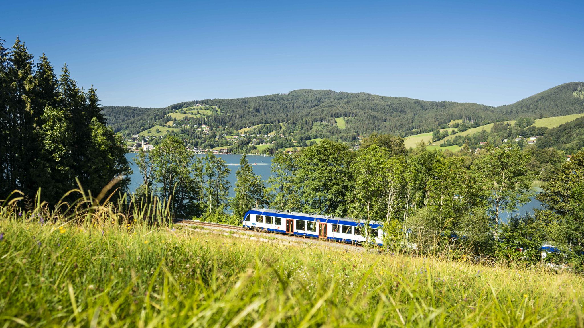
Mountain air by train – hiking in the BRB Network
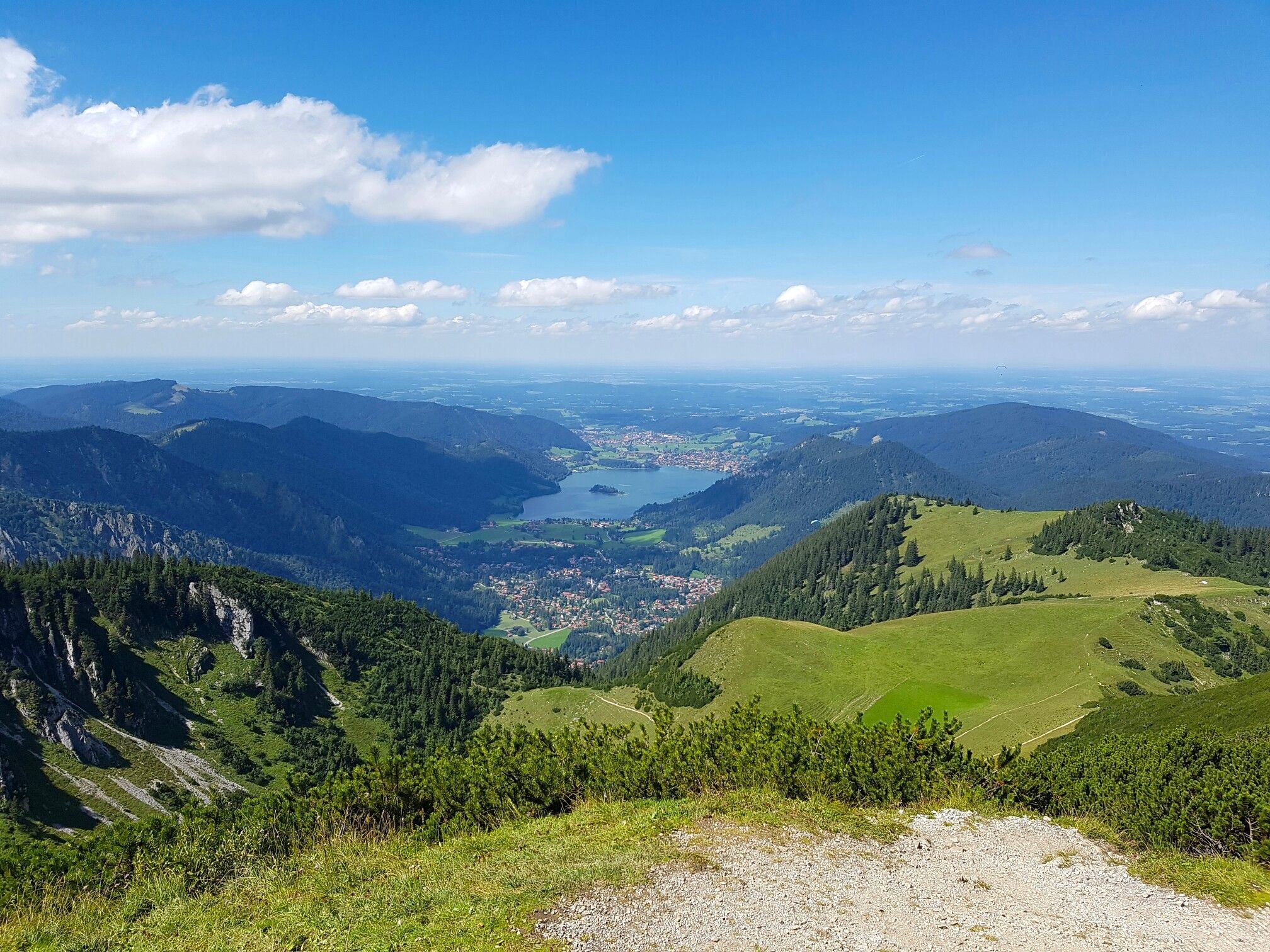
Three Lakes Tour – hut hikes in Munich's Hausberge Mountains

Triathlon around Germany
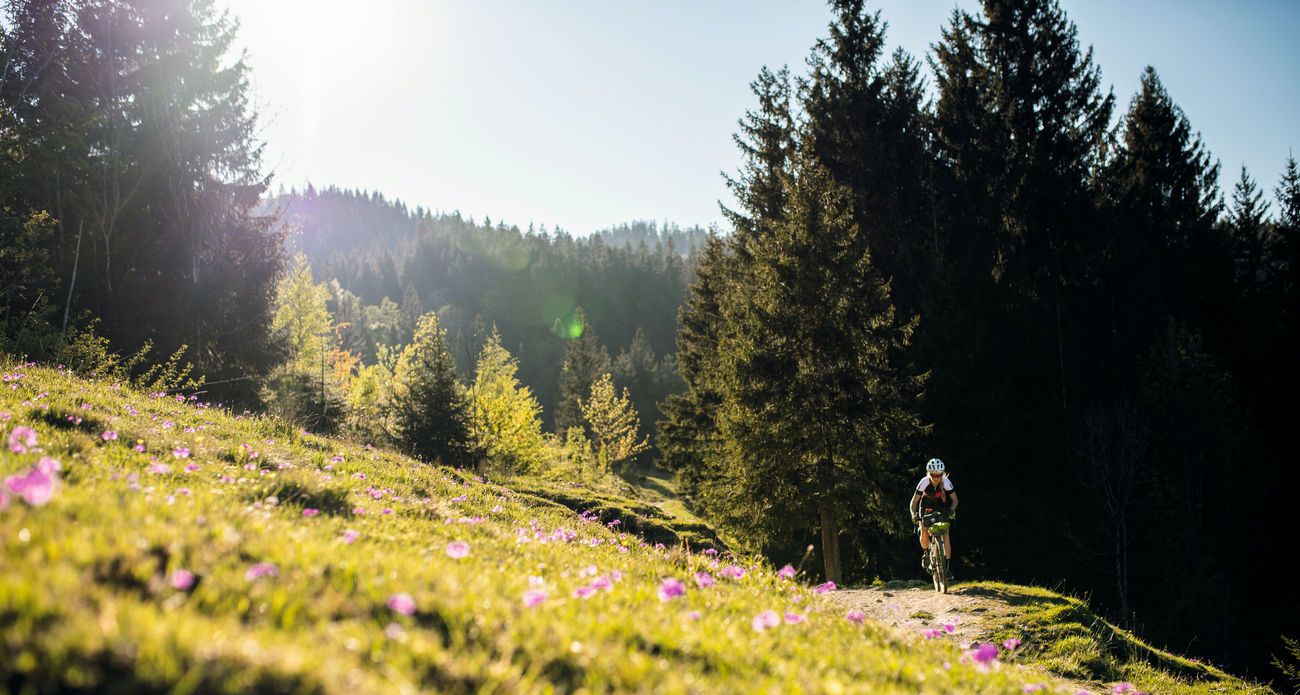
Bavarian Alps by Gravelbike: From Garmisch to Königssee
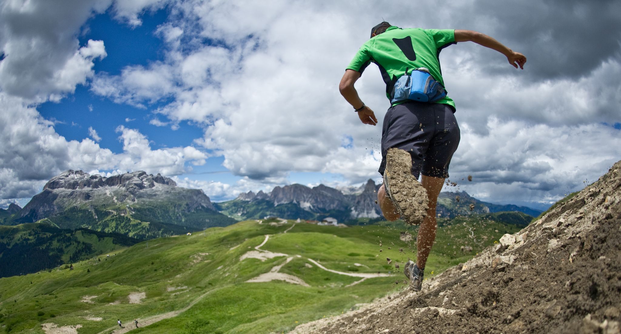
Autumn trail runs
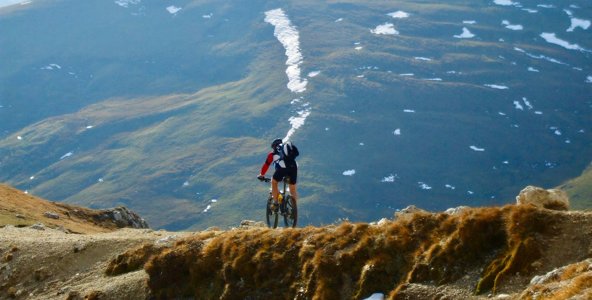
Flow trails in ski areas
Entdecke die Natur rund um München
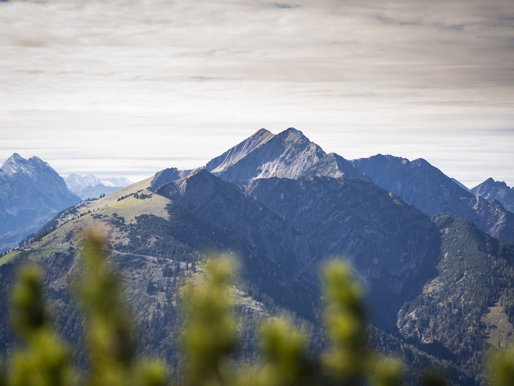
Hoch hinaus - Bergtouren in der Alpenregion Tegernsee Schliersee
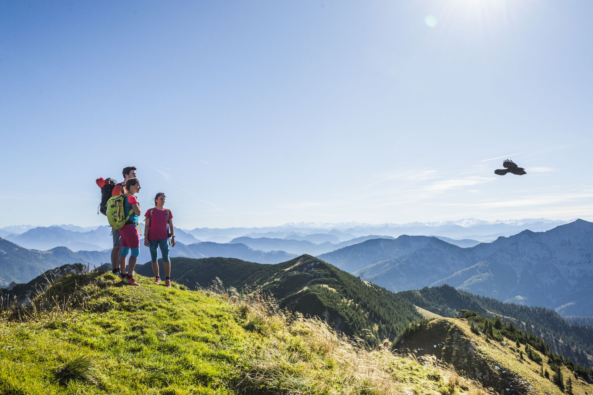
Wanderparadies Alpenregion Tegernsee Schliersee - Entdecken Sie de schönsten Touren
Other adventures in Schliersee


Tips from the Community

The circular route across the alpine pastures is wonderful in both winter and summer. Especially when you then stop at the Albert-Link Hütte.
1
0

Really cool there 👉
0
0

A really great lake, perfect for a hike. A leisurely walk around it takes about 1.5 hours.
0
0
Great views of the surrounding mountains and the Alps
0
0

Great path, great panorama, sometimes quite steep 😁
0
0
Great view of the Rotwandhaus.
1
0

A welcome break with a great panorama as you hike from Schliersee to the castle ruins.
0
0

Short detour on the hiking trail to Neuhaus
0
0
Frequently Asked Questions
How many hiking trails are accessible from bus stations in Schliersee?
There are over 140 hiking trails in the Schliersee region that are easily accessible from various bus stations. These routes cater to all skill levels, including 64 easy, 43 moderate, and 34 difficult options.
Are there family-friendly hiking routes accessible by bus in Schliersee?
Yes, Schliersee offers several family-friendly routes accessible by bus. The circular walk around Lake Schliersee is a popular choice, featuring a Tree Adventure Trail that children particularly enjoy. Another easy option is the loop trail around Lake Spitzing, which is also well-suited for families.
Can I bring my dog on bus-accessible hiking trails in Schliersee?
Most hiking trails in the Schliersee region are dog-friendly, provided your dog is kept on a leash, especially in nature protection areas or near livestock. Always check local regulations for specific routes. The diverse terrain, from lakeside paths to forest trails, offers plenty of options for you and your canine companion.
Are there any circular hiking routes starting from bus stops in Schliersee?
Many routes in Schliersee are designed as circular walks, making them convenient for public transport users. For example, the Josefsthal Waterfalls – View of the Spitzingsee loop from Neuhaus offers a moderate circular experience. Another option is the View of the Spitzingsee – Lake Spitzing loop from Spitzingsee, which is also a popular circular route.
What kind of natural attractions can I see along bus-accessible hikes in Schliersee?
The bus-accessible hikes in Schliersee offer a variety of natural attractions. You can visit the refreshing Josefsthaler Waterfalls, enjoy stunning views of Lake Schliersee and Spitzingsee, or explore the lush forests and alpine meadows of the Mangfallgebirge Mountains. Many routes also lead to prominent peaks like Brecherspitz, offering panoramic vistas.
What are some notable viewpoints or landmarks accessible from bus stations?
Several routes from bus stations lead to impressive viewpoints and landmarks. You can hike to the Summit cross on Gindelalmschneid for expansive views, or explore trails offering a View over Lake Tegernsee and the Bavarian Alps. The Riederstein Chapel also provides a beautiful outlook over Lake Tegernsee.
Are there any challenging mountain hikes accessible by bus in Schliersee?
Yes, for experienced hikers, there are challenging mountain routes accessible by bus. The Brecherspitz – View of Schliersee loop from Neuhaus is a difficult 10 km hike with significant elevation gain, rewarding you with breathtaking views. Another demanding option is the Josefsthal Waterfalls – At the Foot of Jägerkamp loop from Neuhaus, covering nearly 13 km with over 900 meters of ascent.
What do other hikers enjoy most about hiking in Schliersee?
The Schliersee region is highly rated by the komoot community, with an average score of 4.5 stars from over 15,000 ratings. Reviewers often praise the diverse landscapes, from serene lake walks to challenging mountain ascents, the well-maintained trails, and the stunning panoramic views of the Bavarian Alps. The accessibility via public transport is also frequently highlighted as a major benefit.
Are there mountain huts or places to stop for refreshments on bus-accessible trails?
Yes, many hiking routes in Schliersee pass by traditional mountain huts (Alms) where you can stop for refreshments and enjoy local cuisine. The Rotwandhaus is one such hut, offering a welcoming stop for hikers. The Schliersbergalm is also accessible via a hike and provides unique views and recreational activities.
What is the best season for hiking from bus stations in Schliersee?
The best season for hiking in Schliersee largely depends on your preferences. Spring and autumn offer pleasant temperatures and vibrant scenery, with fewer crowds. Summer is ideal for enjoying the lakes and waterfalls, though trails can be busier. Winter provides opportunities for snowshoeing and winter walks, especially around the frozen lakes and lower elevations, though higher mountain routes may require special equipment and experience.
Are there any easy, shorter hikes from bus stops for beginners?
Absolutely. For beginners or those seeking a relaxed walk, the paved 7.3-kilometer circular walk around Lake Schliersee is an excellent choice, offering minimal incline and stunning mountain views. The Spitzingsee loop trail is another easy option that is well-suited for a leisurely stroll.
Most popular routes in Schliersee
Most popular attractions in Schliersee

Get inspired with the komoot mobile app


Explore more
Browse the best Hikes in other regions.
