The best hikes from bus stations in Franconian Switzerland
4.6
(82808)
311,621
hikers
5,492
hikes
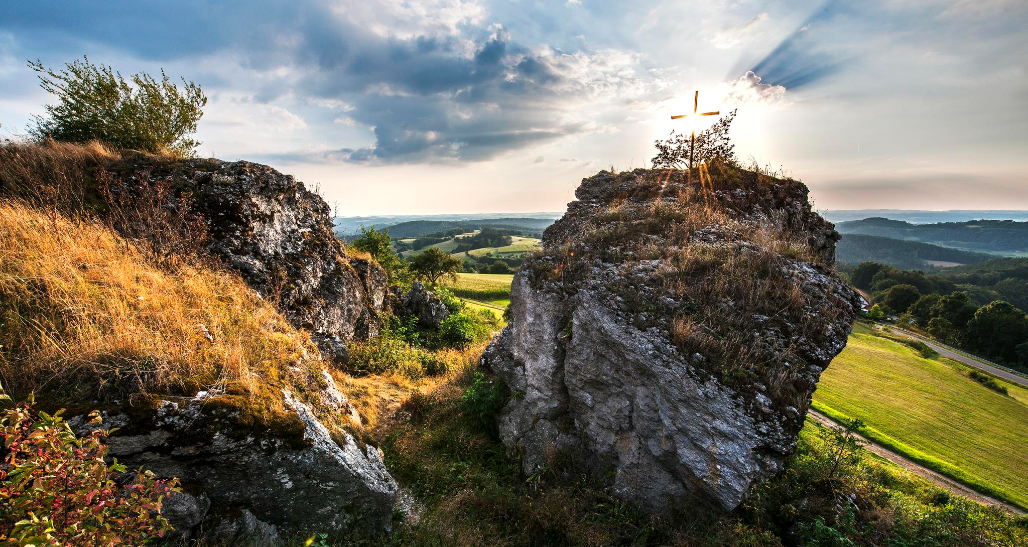
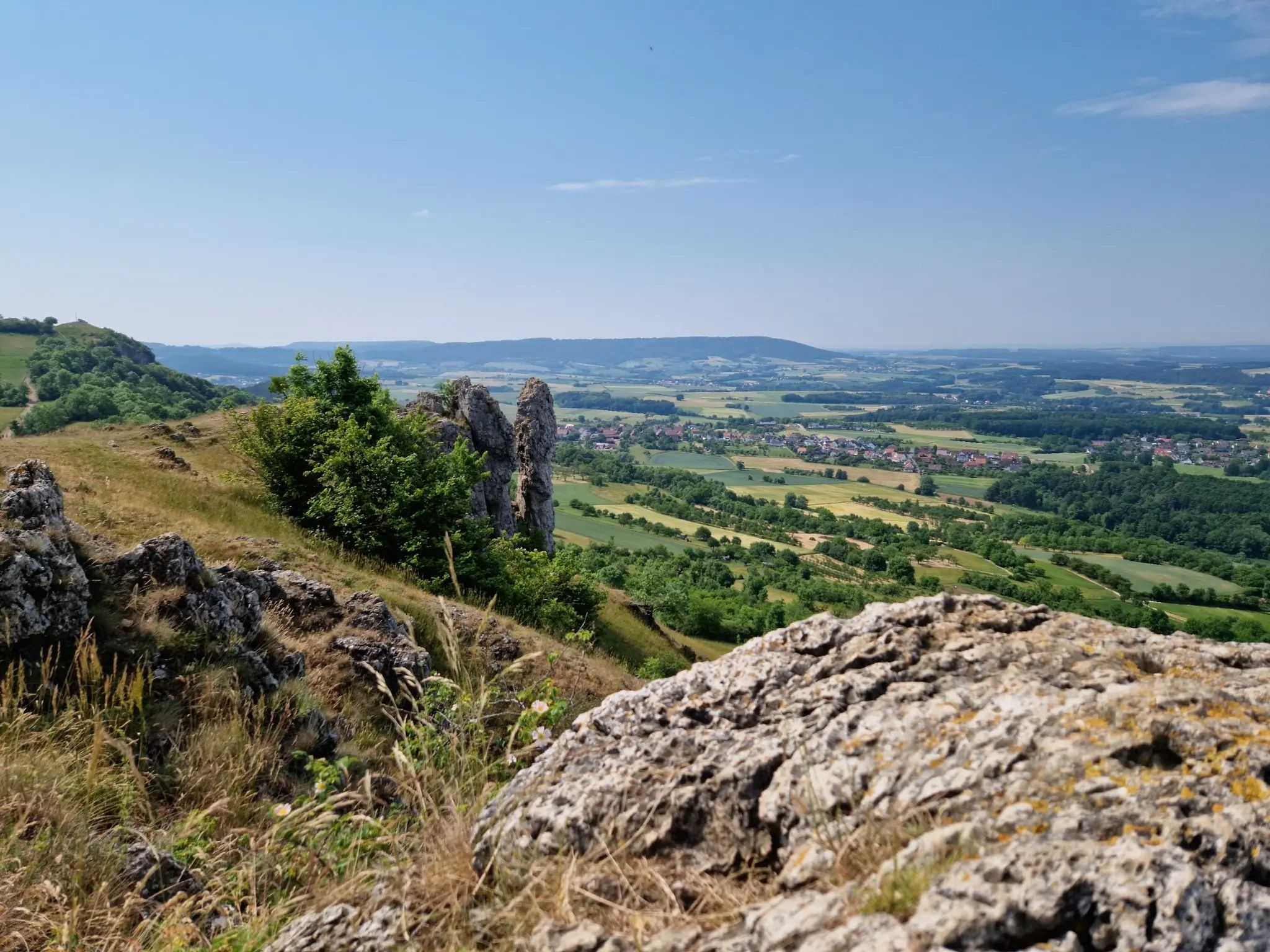
Bus station hiking trails in Franconian Switzerland navigate a landscape characterized by dramatic dolomite and limestone rock formations, winding river valleys, and dense woodlands. The region features a diverse terrain of hills, meadows, and extensive forests. This area offers a comprehensive network of paths suitable for various hiking abilities, often leading through picturesque scenery.
Best bus station hiking trails in Franconian Switzerland
- The most popular bus station hiking route is Hike to the beautiful view, a 8.4 miles (13.5…
Last updated: July 9, 2026
4.5
(200)
744
hikers
13.5km
03:47
270m
270m
Moderate hike. Good fitness required. Easily-accessible paths. Suitable for all skill levels.
4.7
(154)
537
hikers
18.0km
05:01
350m
350m
Hike the difficult 11.2 miles (18.0 km) Bierquellen-Wanderweg through Franconian Switzerland, enjoying scenic views and local breweries.

Sign up for free
4.8
(100)
428
hikers
15.9km
04:20
180m
320m
Moderate hike. Good fitness required. Easily-accessible paths. Suitable for all skill levels.
4.8
(1332)
4,692
hikers
13.1km
03:58
430m
430m
Moderate hike. Good fitness required. Easily-accessible paths. Suitable for all skill levels.
4.8
(831)
2,756
hikers
9.08km
02:31
160m
170m
Moderate hike. Good fitness required. Easily-accessible paths. Suitable for all skill levels.
Get access to more routes and recommendations from other explorers.
Sign up for free
Already have an account?
Our route recommendations are based on thousands of hikes, rides, and runs completed by other people on komoot.
Start today with a free account
Your next adventure awaits.
Login or Signup
Popular around Franconian Switzerland

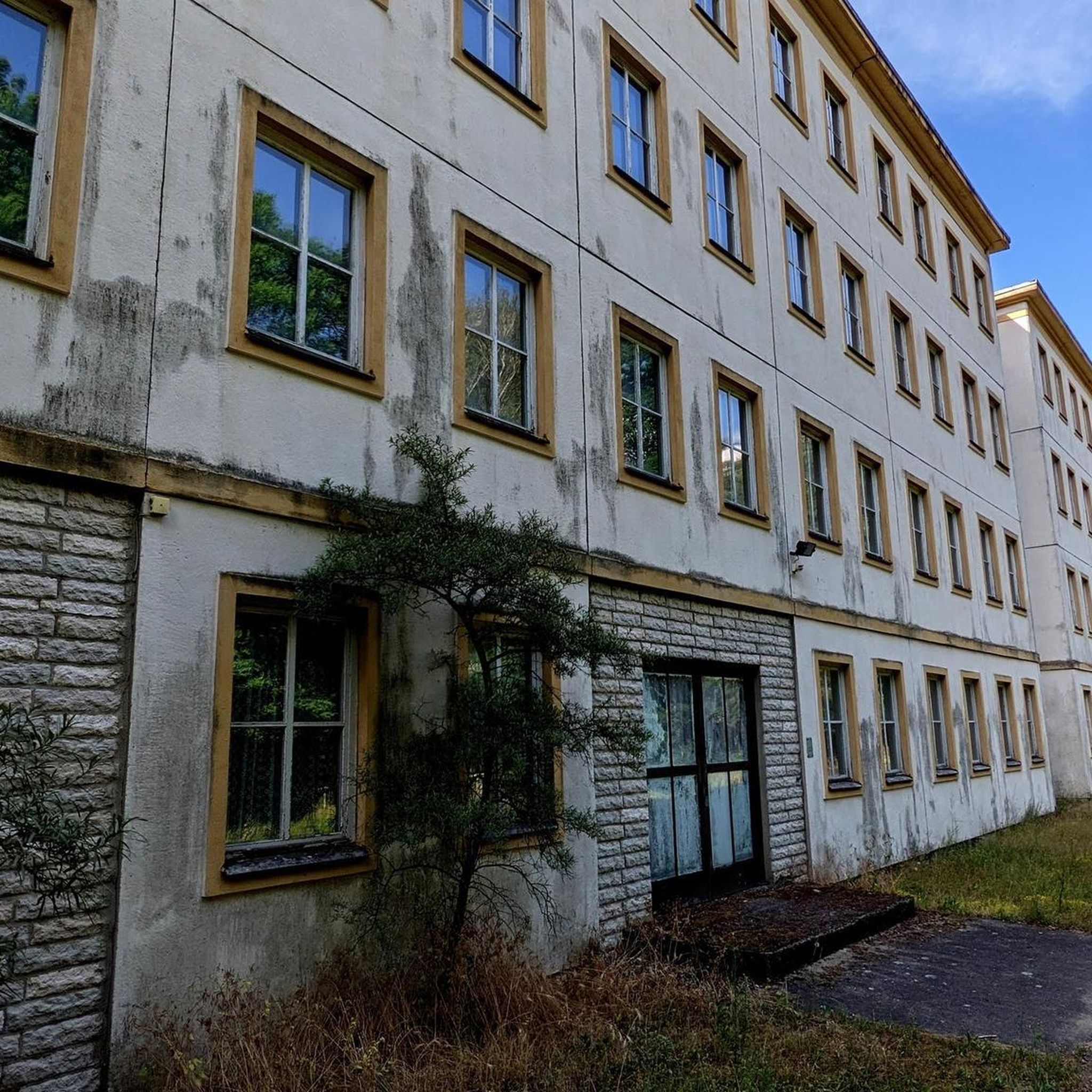
Hikes from bus stations around Landkreis Bayreuth
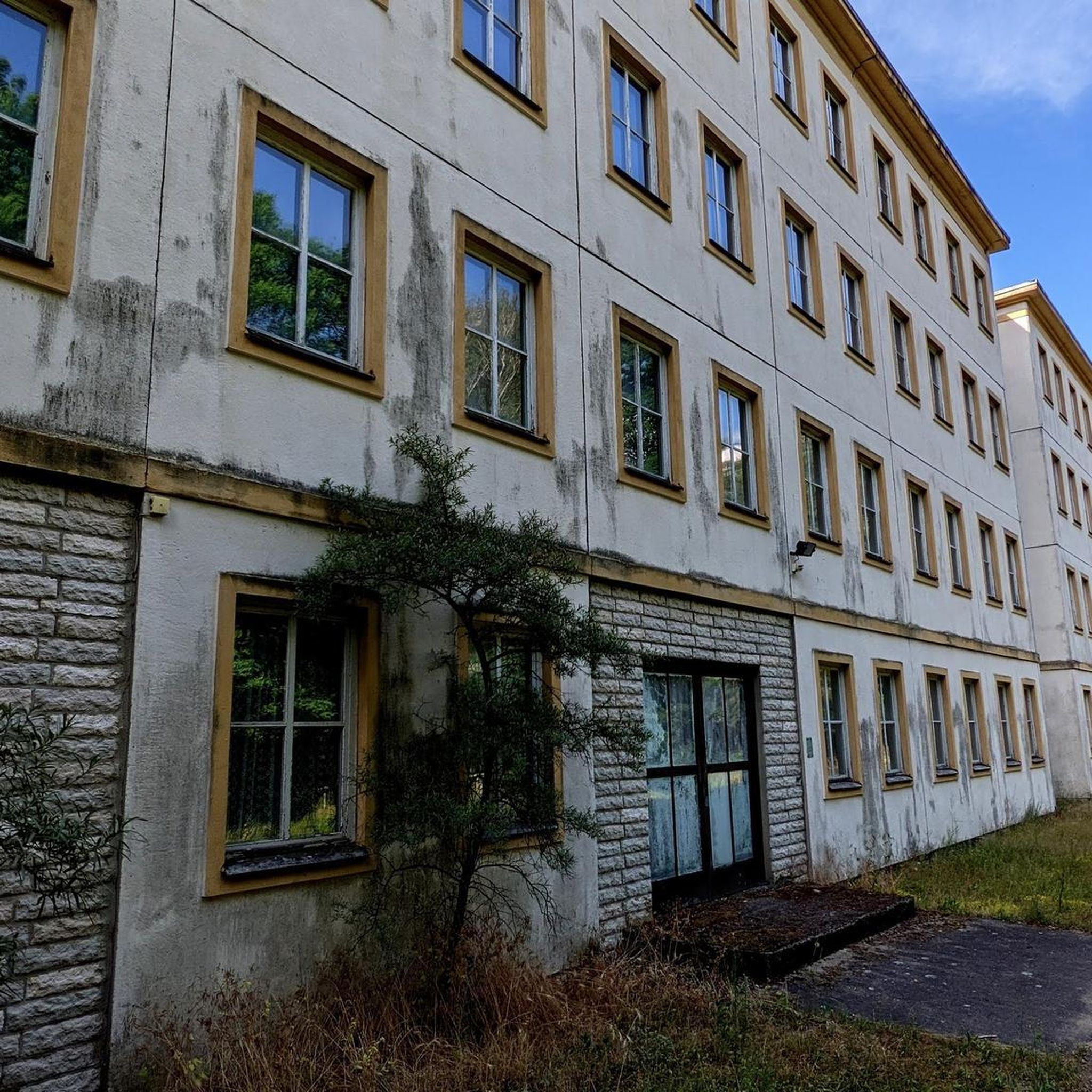
Hikes from bus stations around Erlangen
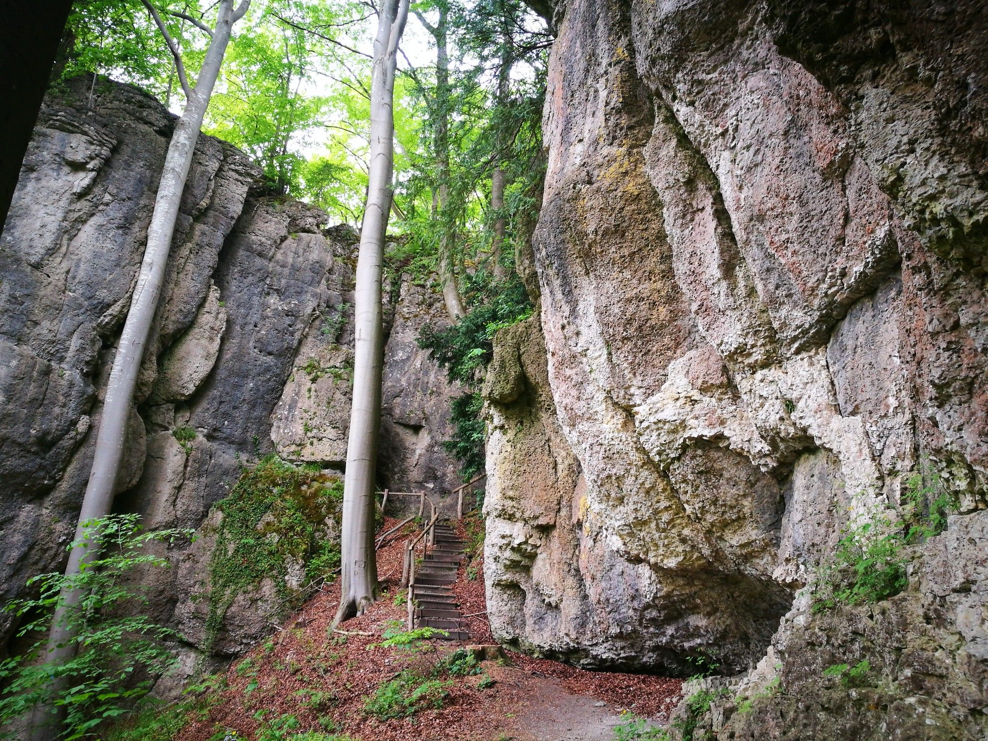
Hikes from bus stations around Forchheim
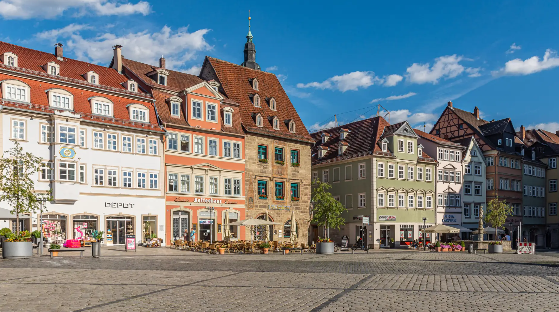
Forests, rocks and castles – 5-day circular through Franconian Switzerland

The National Natural Landscapes in Bavaria
From the metropolis to enjoyment – city hiking on the VGN
Fun hiking and wonderful views in Franconian Switzerland
Ten fantastic hikes throughout Germany
Catch the bus and train into nature – VGN Leisure Tips 2023
11 Days on the Erzweg Quality Hiking Trail
Other adventures in Franconian Switzerland


Tips from the Community

Don't forget your flashlight, and it's best to set off early so you have more time for the hells.
0
0

The 13 Breweries Trail can easily be completed in three stages, planning so that the start and finish are accessible by public transport. However, this requires careful planning.
0
0

Located directly in the old town center on a one-way street, but unfortunately closed
9
0
Overwhelming view of the castle perched on the rocky plateau
9
0

A great rock with a beautiful view of the valley. Especially recommended in spring and summer.
1
0

Pure nature, very idyllic...
0
0

Very good beer 🍺 and the snack was also great I like the ambience
0
0

Always follow the path along the edge of the "Hohlen Berg" upwards, past some beautiful spots, you reach the striking rock needle with a view down into the Wiesenttal 🏔
1
0
Frequently Asked Questions
How many bus station hiking trails are available in Franconian Switzerland?
There are over 5,500 hiking routes in Franconian Switzerland that are accessible by bus, offering a wide variety of experiences for all skill levels. The region is known for its extensive network of well-maintained and clearly signposted paths.
What kind of terrain can I expect on bus-accessible hikes in Franconian Switzerland?
Franconian Switzerland features a diverse landscape with dramatic dolomite and limestone rock formations, winding river valleys, dense woodlands, and lush meadows. You'll encounter impressive rocky and hilly sections, often with unique rock pinnacles and karst topography. Trails range from easy paths along rivers to more challenging ascents through forests.
Are there easy bus station hikes suitable for beginners or families?
Yes, Franconian Switzerland offers many easy bus-accessible hikes. Over 2,500 routes are classified as easy, making them perfect for beginners or families. While specific routes aren't listed here, you can find many gentle paths that explore the scenic valleys and charming villages without significant elevation gain.
What natural features or landmarks can I see along these bus station trails?
Many bus-accessible trails lead to or pass by significant natural features. You can explore the region's famous caves, such as the Devil's Cave near Pottenstein, or enjoy views over the Wiesent Valley. Some routes might even take you past picturesque ponds like the Ponds at the former Klumpermühle or the Märchenweiher near Atzelsberg. The region is also rich in impressive rock formations and gorges like the Upper Püttlach Valley.
Can I bring my dog on bus-accessible hiking trails in Franconian Switzerland?
Generally, dogs are welcome on hiking trails in Franconian Switzerland. However, it's always advisable to keep them on a leash, especially in nature reserves, near livestock, or in crowded areas. Check local regulations for specific trails or attractions you plan to visit, as some indoor sites or caves may not permit dogs.
Are there circular routes that start and end at a bus station?
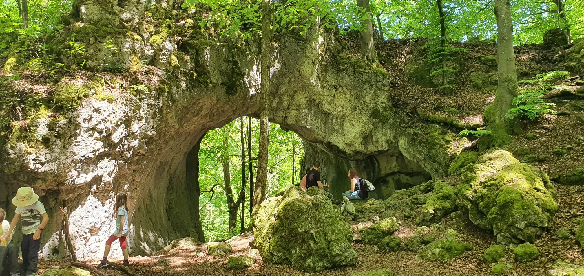
Yes, many bus-accessible routes in Franconian Switzerland are designed as circular hikes, allowing you to return to your starting point without needing additional transport. For example, the Oswald Cave – Rock Gate in the Forest loop from Muggendorf is a moderate circular hike that offers diverse scenery. Another option is the Trail Above the Devil's Cave – Pottenstein Castle loop from Pottenstein.
When is the best time of year to hike from bus stations in Franconian Switzerland?
Franconian Switzerland is beautiful year-round. Spring offers cherry blossoms, especially around Walberla, and lush greenery. Summer provides warm weather for exploring, while autumn brings vibrant foliage. Even winter can be magical, with snow-covered landscapes, though some trails might be more challenging. The extensive network of trails means you can find suitable options in any season.
Are there places to eat or drink along the bus station hiking routes?
Yes, Franconian Switzerland is famous for its traditional Franconian inns and breweries, many of which are located in the picturesque villages nestled throughout the landscape. You can find unique "brewery hiking trails" that allow you to trek between local breweries. The 7 breweries in one go - Franconian Switzerland route is a great example, offering opportunities to stop for refreshments.
What do other hikers enjoy most about hiking in Franconian Switzerland?
The area is highly rated by the komoot community, with an average score of 4.6 stars. Reviewers often praise the region's dramatic and varied terrain, the abundance of well-marked trails, and the captivating combination of natural wonders with centuries-old castles and charming villages. The accessibility of trails via public transport is also frequently highlighted.
Are there any challenging bus-accessible hikes for experienced hikers?
Yes, for experienced hikers seeking a challenge, Franconian Switzerland offers difficult bus-accessible routes. Over 340 routes are classified as difficult. An example is the Beer Sources Trail, which covers nearly 18 km with significant elevation changes, providing a demanding yet rewarding experience through the region's varied landscapes.
Can I combine hiking with cultural or historical sights on these bus routes?
Absolutely. Franconian Switzerland is dotted with cultural and historical attractions. Many bus-accessible trails pass by or lead to over 170 medieval castles and ruins, such as Rabenstein Castle or Gößweinstein Castle. You can also explore quaint half-timbered villages and even parts of the German Castle Road, which crosses the region. The town of Pottenstein, a central hub, offers a castle and is near the impressive Devil's Cave.
Most popular routes in Franconian Switzerland
Most popular attractions in Franconian Switzerland

Get inspired with the komoot mobile app


Didn’t find what you were looking for?
Check out more Hikes throughout Franconian Switzerland below and find the perfect route in your destination.
Explore more
Browse the best Hikes in other regions.
