The best hikes from bus stations in Hohenlohe
4.6
(6688)
27,404
hikers
1,531
hikes
Bus station hiking trails in Hohenlohe traverse a landscape characterized by gentle, wooded hills and fertile plains, shaped by the Kocher, Jagst, and Bühler rivers. These rivers have carved out wide, romantic valleys, providing varied terrain for hikers. The region features a mix of vineyards, orchards, and mixed forests, with elevations such as the Mühlberg reaching 1,716 ft (523 m).
Best bus station hiking trails in Hohenlohe
- The most popular bus station hiking route is Waldenburg Höhenrandweg and Höhenerlebnispark,…
Last updated: July 10, 2026
4.8
(100)
364
hikers
6.75km
01:46
50m
50m
Easy hike. Great for any fitness level. Easily-accessible paths. Suitable for all skill levels.
4.0
(13)
52
hikers
17.0km
04:56
450m
450m
Moderate hike. Good fitness required. Easily-accessible paths. Suitable for all skill levels.

Sign up for free
4.1
(7)
42
hikers
15.8km
04:30
340m
340m
Moderate hike. Good fitness required. Mostly accessible paths. Sure-footedness required.
4.6
(143)
475
hikers
11.3km
03:08
210m
210m
Moderate hike. Good fitness required. Easily-accessible paths. Suitable for all skill levels.
4.8
(86)
316
hikers
Easy hike. Great for any fitness level. Easily-accessible paths. Suitable for all skill levels.
Get access to more routes and recommendations from other explorers.
Sign up for free
Already have an account?
Our route recommendations are based on thousands of hikes, rides, and runs completed by other people on komoot.
Start today with a free account
Your next adventure awaits.
Login or Signup
Popular around Hohenlohekreis
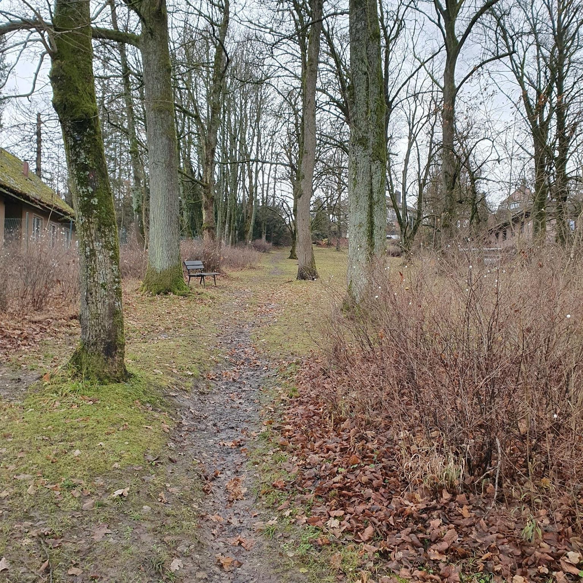
Hikes from bus stations around Waldenburg
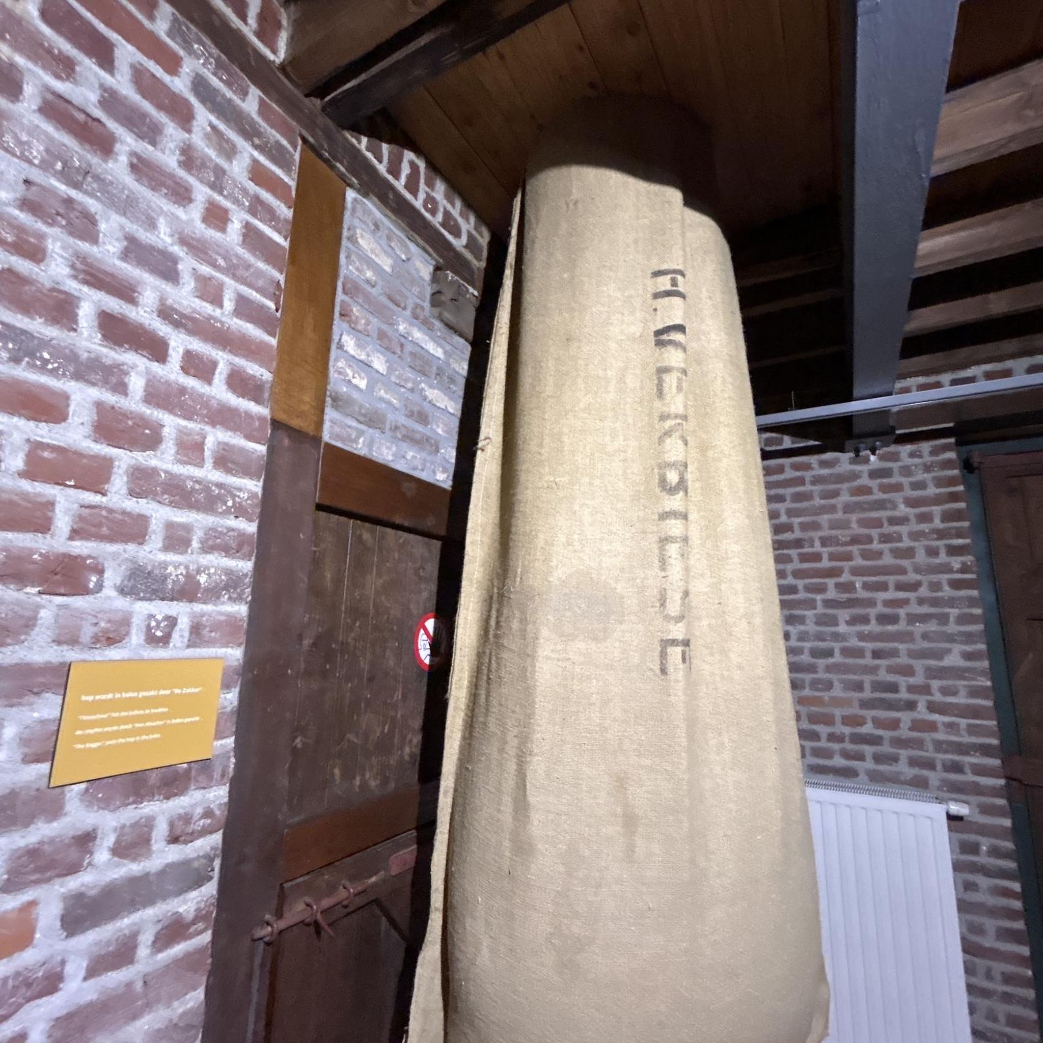
Hikes from bus stations around Pfedelbach
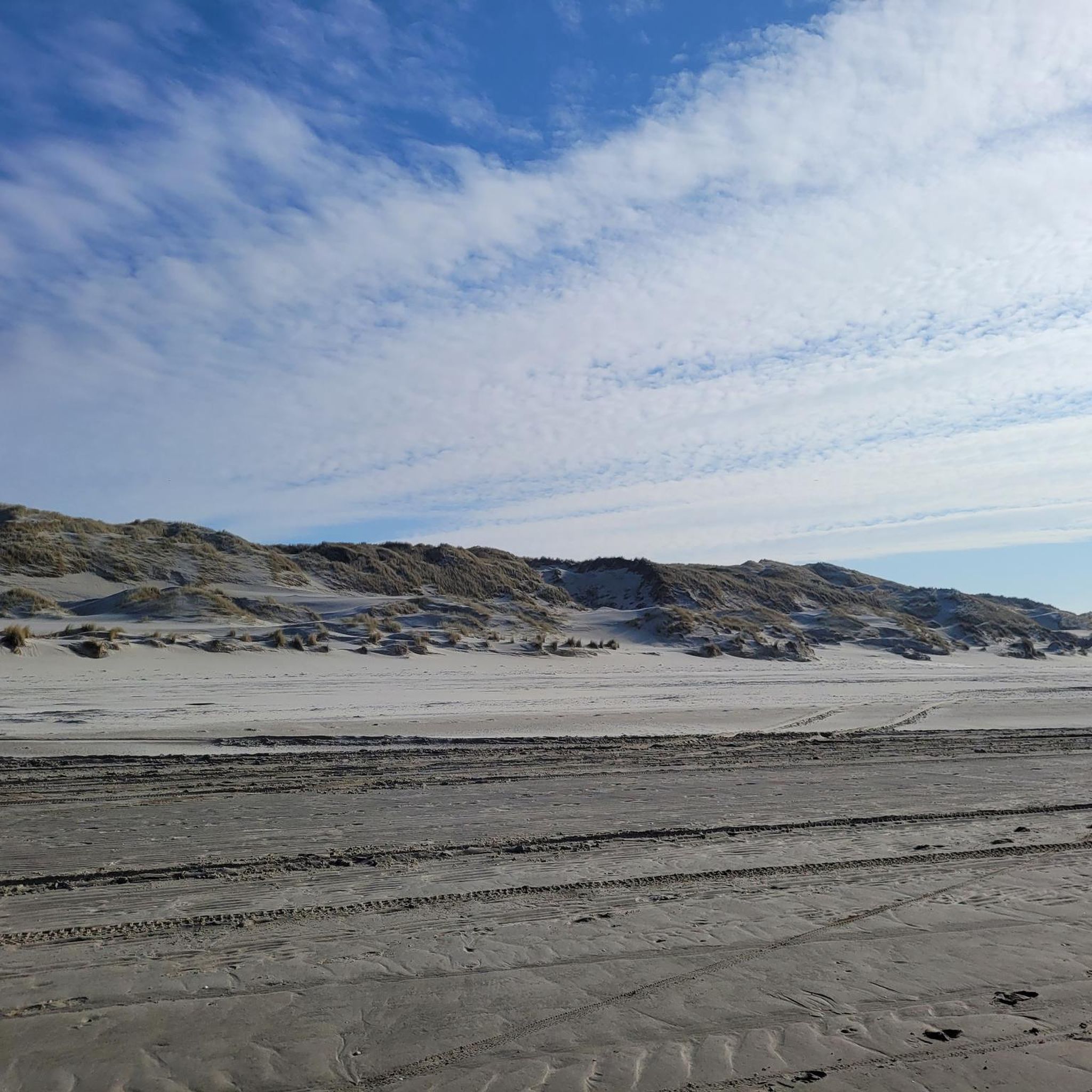
Hikes from bus stations around Schöntal
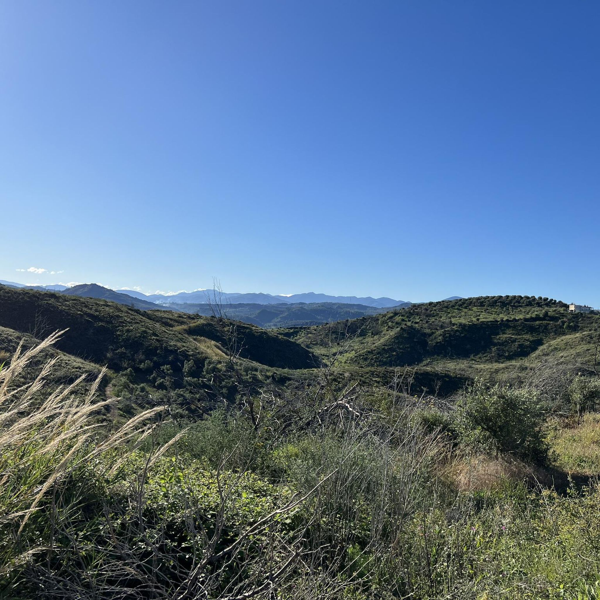
Hikes from bus stations around Forchtenberg

Hikes from bus stations around Mulfingen

Hikes from bus stations around Künzelsau

Hikes from bus stations around Niedernhall
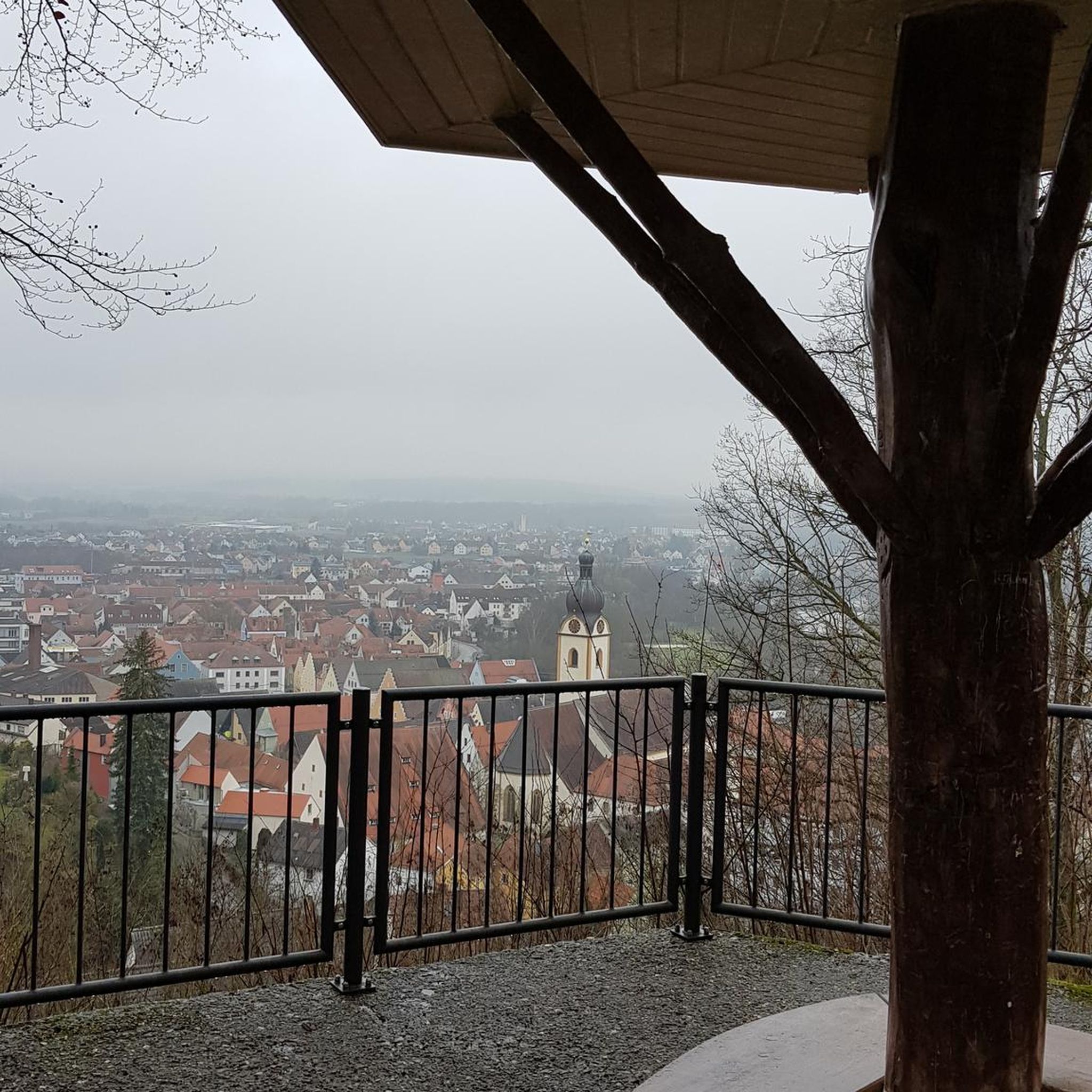
Hikes from bus stations around Ingelfingen

Hikes from bus stations around Bretzfeld
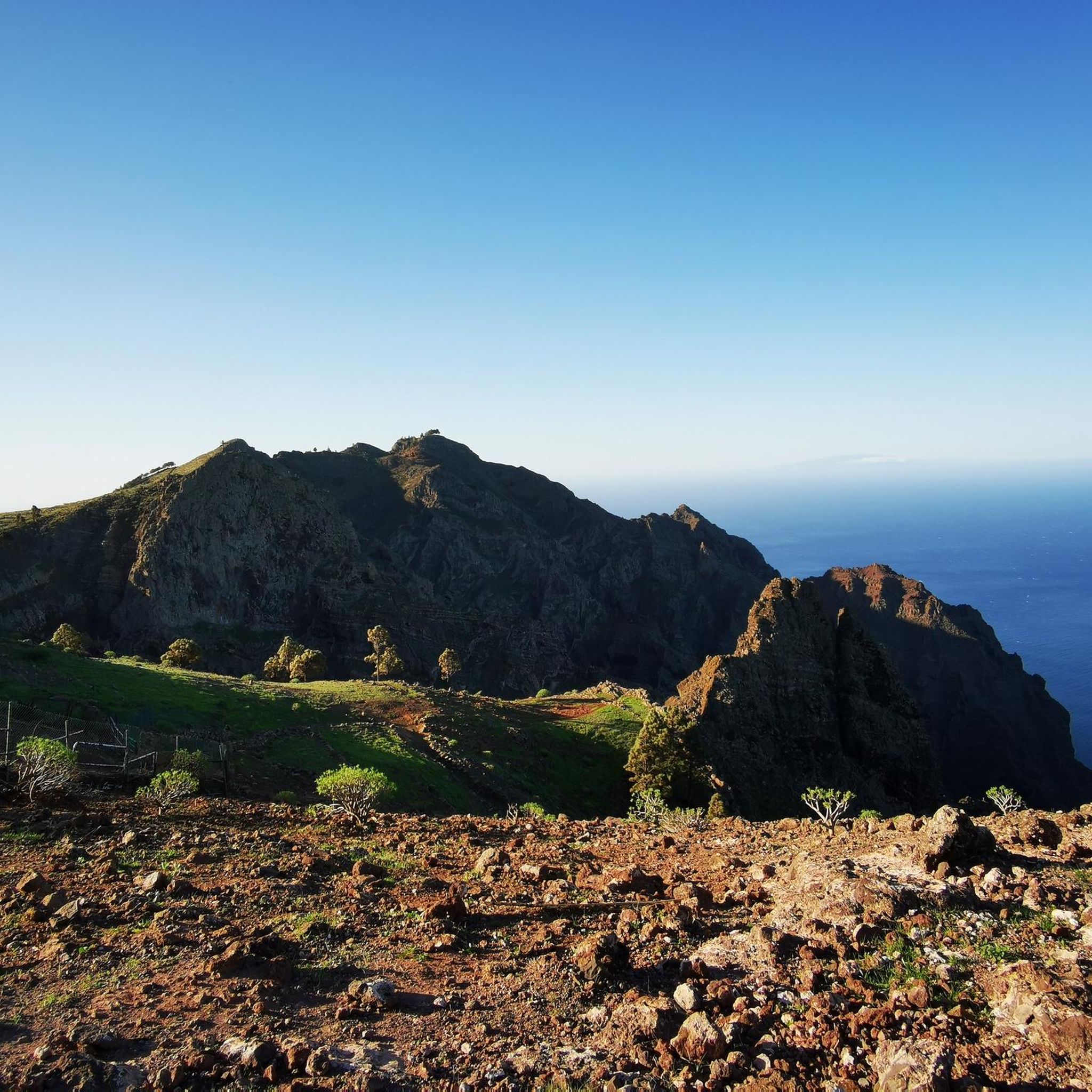
Hikes from bus stations around Öhringen
Other adventures in Hohenlohe


Tips from the Community

City wall and rampart in Hohenlohe
0
0

The Weinbaumuseum Ingelfinger Fass is a striking viewpoint and at the same time a small cultural highlight above Ingelfingen. The large, barrel-shaped building towers over the vineyards and offers a wide view into the Kochertal valley – a perfect place for a short break with a panorama.
4
0

definitely worth a visit, the city gate is only a few meters off the bike path
0
0

Waldenburg Castle sits majestically high above the Hohenlohe Plain, its walls, towers, and overall complex dominating the townscape. From the terraces and walls surrounding the castle, sweeping views of the landscape unfold – an impressive blend of history, architecture, and panorama, and one of the highlights of any tour around Waldenburg.
3
0
This viewpoint truly lives up to its name: like looking out from a balcony, you can see far across the Hohenlohe Plain with its fields, forests, and rolling hills. It's the perfect spot for a short break, a photo, and a moment to catch your breath before continuing your hike.
6
0
From here, there is a wide panoramic view over the Kocher Valley, the vineyards, and the Hohenlohe Plain, extending as far as the Löwenstein Mountains. The saddle lies at an altitude of approximately 330 meters and is a popular rest area with seating and an information panel.
8
0
The city walls and battlements of Forchtenberg are impressive examples of medieval defensive architecture – and still shape the appearance of the old town today. But beware: some pigeons live in the tower and have left a lot of droppings all over the place. It's not really that nice.
6
0
Frequently Asked Questions
How many bus station hiking trails are available in Hohenlohekreis?
There are over 1500 hiking routes in Hohenlohekreis that are accessible from bus stations. This includes a wide variety of trails, with more than 830 considered easy and over 660 moderate, ensuring options for all skill levels.
What makes Hohenlohekreis a good region for bus-accessible hiking?
Hohenlohekreis offers a diverse and picturesque landscape with gentle, wooded hills, fertile plains, and romantic river valleys carved by the Kocher, Jagst, and Bühler rivers. Its extensive network of trails, combined with numerous historical sites like castles and charming medieval towns, makes it ideal for exploring via public transport. The region is known for its quiet natural beauty spots and rich flora and fauna.
What do other hikers enjoy most about the trails in Hohenlohekreis?
The area is highly rated by the komoot community, with an average score of 4.6 stars from over 6,100 ratings. Hikers often praise the region's idyllic natural beauty, the well-maintained paths, and the blend of nature with historical and cultural points of interest.
Are there easy bus-accessible hikes suitable for beginners or families?
Yes, Hohenlohekreis offers many easy bus-accessible routes. For example, the Waldenburg Höhenrandweg and Höhenerlebnispark is an easy, largely flat path through the Limpurg Mountains, perfect for a leisurely walk with scenic views. Over 830 easy routes are available.
Are there circular routes accessible by bus?
Yes, many bus-accessible routes in Hohenlohekreis are circular, allowing you to start and end at the same bus stop. An example is the Forchtenberg Ruins – Kupfer Stream loop from Forchtenberg, which takes you through varied landscapes and past historical sites.
Can I bring my dog on these bus-accessible trails?
Most hiking trails in Hohenlohekreis are dog-friendly, offering plenty of natural spaces for your canine companion. However, it's always advisable to check local regulations, especially in nature reserves, and keep your dog on a leash where required. Public transport rules for dogs may also vary, so check with the local bus operator before your trip.
Are there any historical sites or castles along these bus-accessible routes?
Hohenlohekreis is known as the 'Land of Castles and Palaces'. Many bus-accessible routes pass by or lead to historical attractions. You can explore sites like the St. Wendel zum Stein Chapel or the Roman figure on the Limes Trail, which traces parts of the ancient Roman Limes.
What kind of natural landscapes can I expect to see on bus-accessible hikes?
You can expect to traverse through diverse landscapes including wide, romantic river valleys (Kocher, Jagst, Bühler), gentle wooded hills, fertile plains, vineyards, orchards, and mixed forests. The region also features idyllic side valleys like the Rötelbach valley and Meßbachtal, offering tranquil natural surroundings.
Are there any themed trails accessible by bus?
Yes, Hohenlohekreis features several themed trails. The Wine Hiking Trail Niedernhall, for instance, meanders through beautiful vineyards, offering insights into the region's viticulture and opportunities to stop at seasonal wine taverns.
What is the best time of year to hike in Hohenlohekreis using public transport?
Spring and autumn are particularly beautiful for hiking in Hohenlohekreis. In spring, the orchards blossom, and the valleys are lush green. Autumn brings vibrant colors to the forests and vineyards. Summer offers pleasant temperatures for riverside walks, while winter can provide unique, quiet experiences, though some bus services might be less frequent.
Are there options for longer, more challenging bus-accessible hikes?
Yes, for those seeking a greater challenge, Hohenlohekreis offers numerous moderate to difficult bus-accessible routes. The From the heights to the Kocher valley tour, for example, covers over 15 kilometers with significant elevation changes, providing a rewarding experience for experienced hikers. There are over 660 moderate and 40 difficult routes available.
Are there any huts or places to stop for refreshments along the bus-accessible routes?
Yes, you can find various huts and refreshment stops along the trails. Highlights include the Naturfreundehaus Steinknickle, the Weißlensberg Alpine Hut, and the Haußler Hinterespig Farm Shop & Self-Service Mountain Station, offering places to rest and refuel.
Most popular routes in Hohenlohe
Most popular attractions in Hohenlohe

Get inspired with the komoot mobile app


Didn’t find what you were looking for?
Check out more Hikes throughout Hohenlohekreis below and find the perfect route in your destination.
Explore more
Browse the best Hikes in other regions.
