The best mountain hikes in Hohenlohe
1
hikers
2
hikes
Mountaineering in Hohenlohe offers diverse terrain across wooded hills, fertile plains, and wide river valleys, primarily shaped by the Kocher and Jagst rivers. The region's elevation ranges from 168 to 564.7 meters above sea level, encompassing the Hohenlohe plain and parts of the Swabian-Franconian Forest Mountains. While lacking high alpine peaks, the area features 26 named hills, with Horkenberg reaching 566 meters and Mühlberg at 541 meters, providing opportunities for ascents and panoramic views. Vineyards and mixed forests are also…
Last updated: October 1, 2026
5.93km
01:48
190m
190m
Hard mountaineering route. Great for any fitness level. Sure-footedness, sturdy shoes and alpine experience required.
1
hikers
Moderate mountaineering route. Good fitness required. Easily-accessible paths. Suitable for all skill levels.

6.85km
02:00
180m
190m
Easy mountaineering route. Great for any fitness level. Easily-accessible paths. Suitable for all skill levels.
Our route recommendations are based on thousands of hikes, rides, and runs completed by other people on komoot.
Start today with a free account
Your next adventure awaits.
Popular around Hohenlohekreis
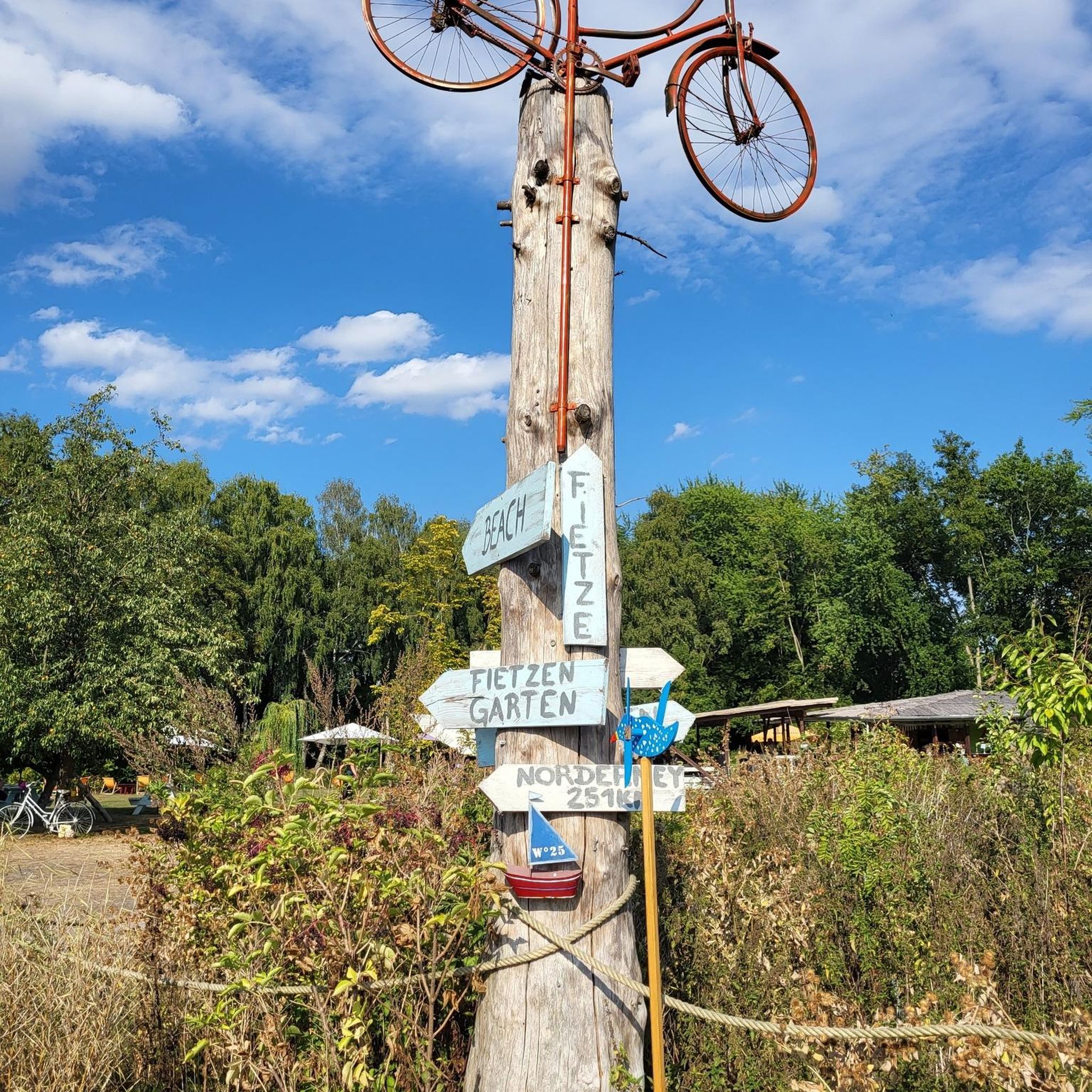
Mountain Hikes around Bretzfeld

German Limes Cycle Path – Riding from the Rhine to the Danube
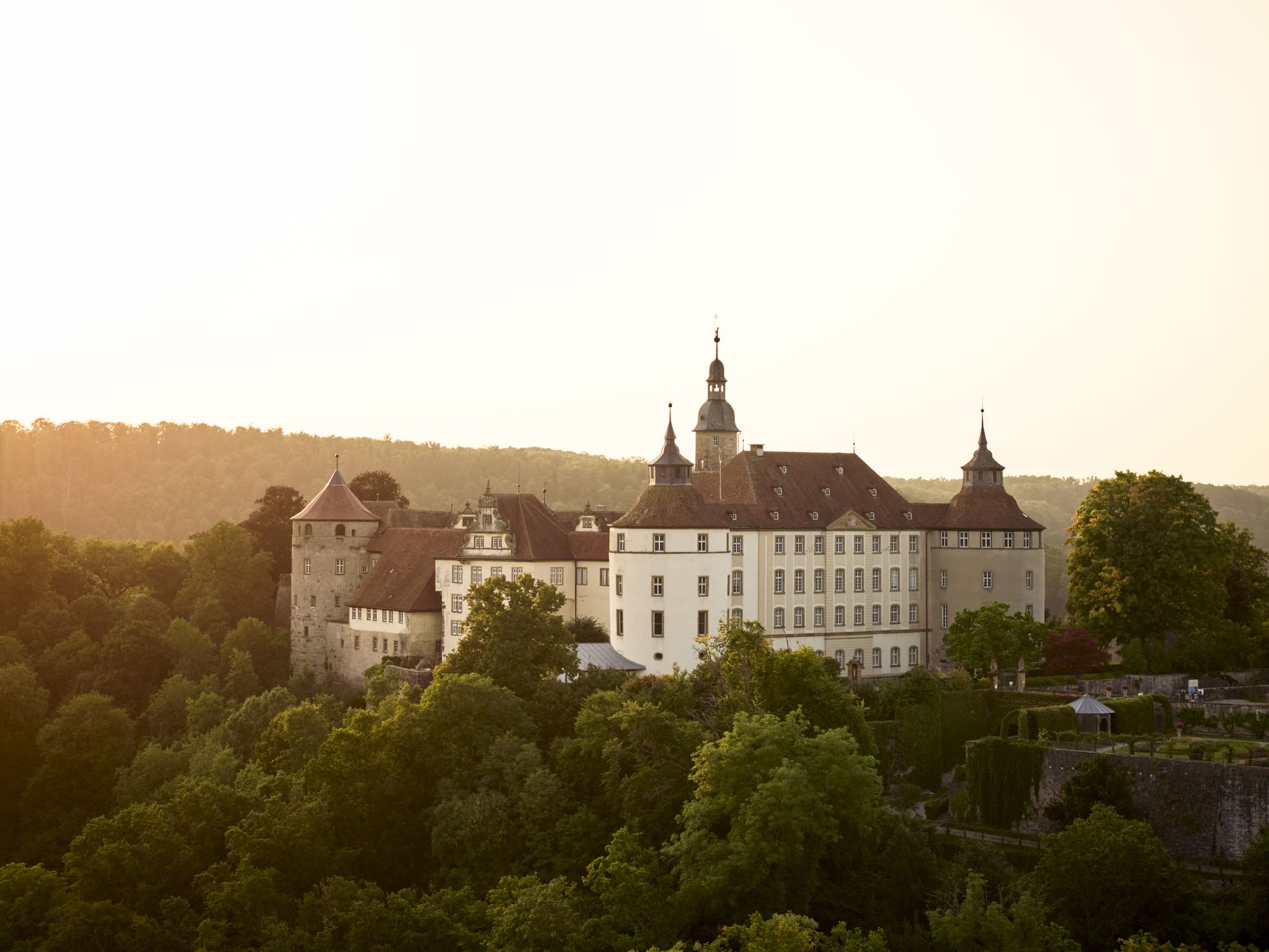
Where castles reign and palaces shine – cycling in the Süden ganz oben

Discover the best of the south on the Deutschland Tour
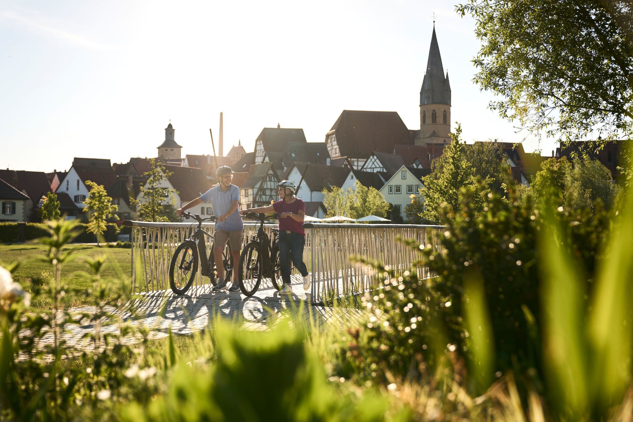
Half-timbered houses and superb cycling tours – the best of the South
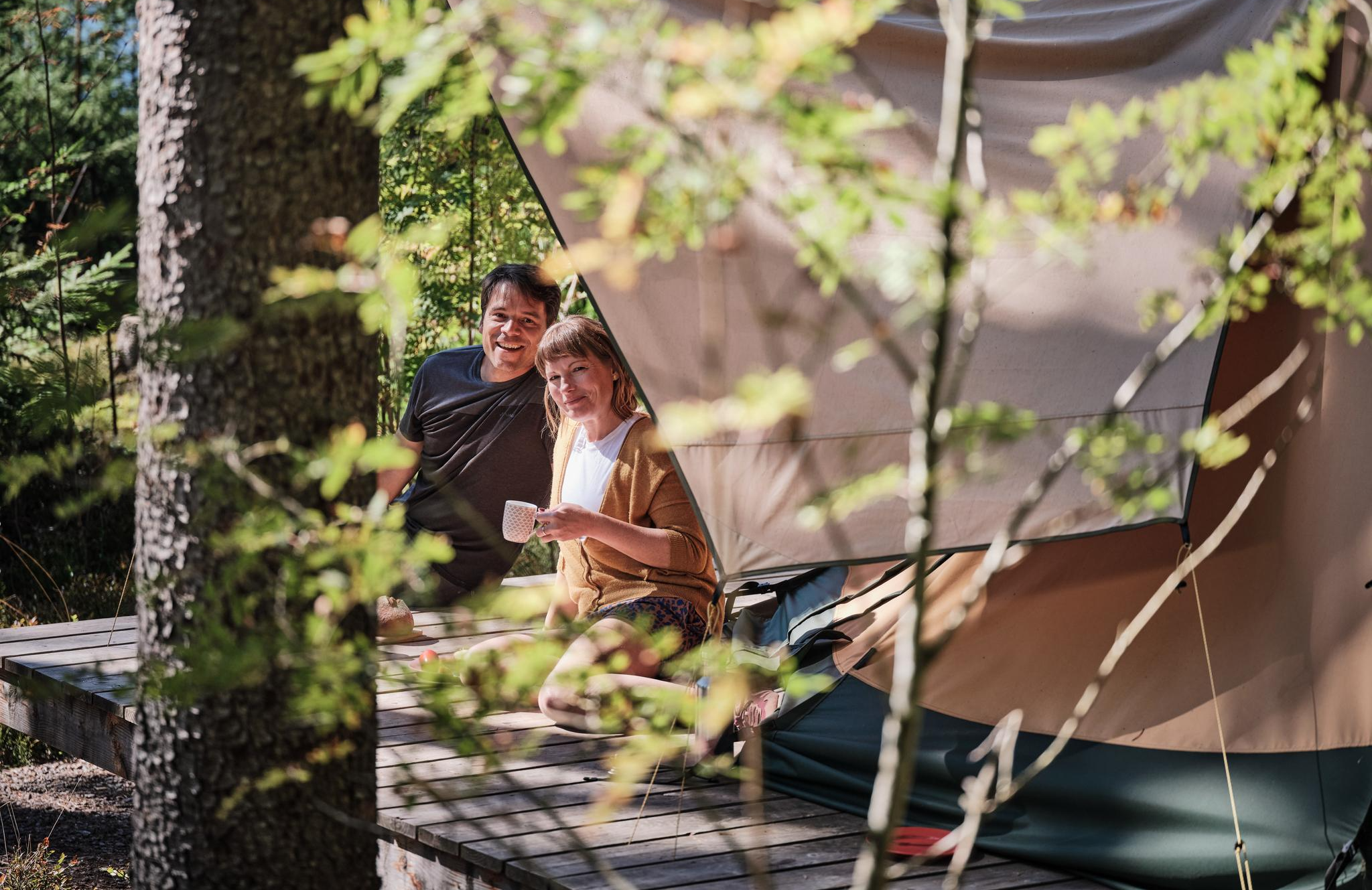
Hiking breaks in the South – two-day routes in Baden-Württemberg
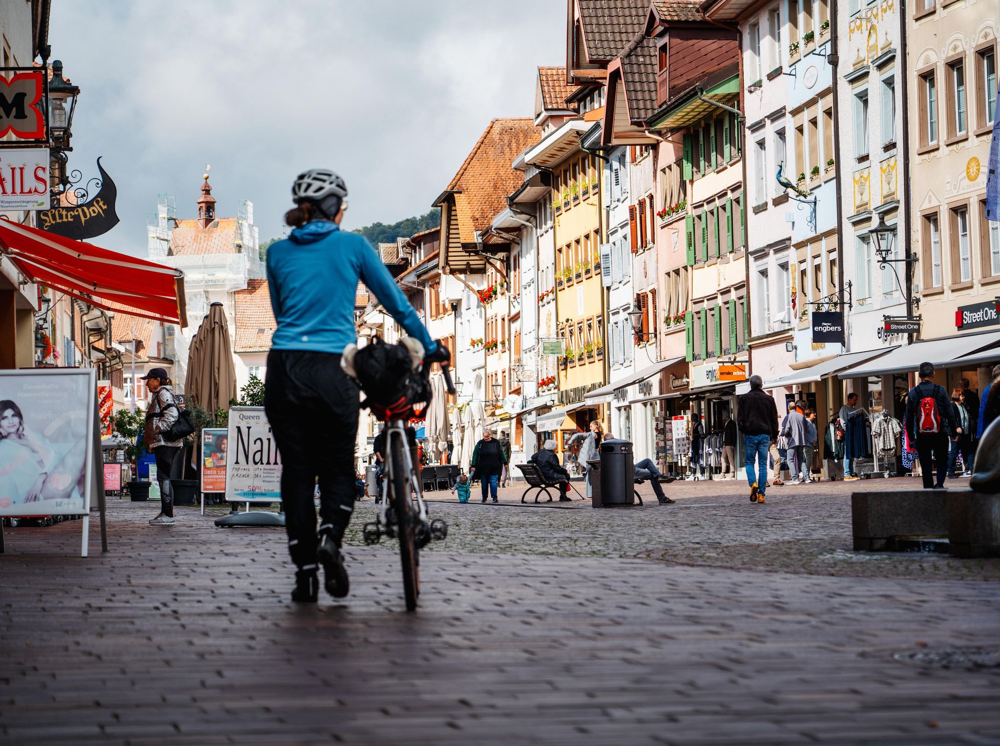
Adventure on two wheels – overnight cycling trips in Baden-Württemberg
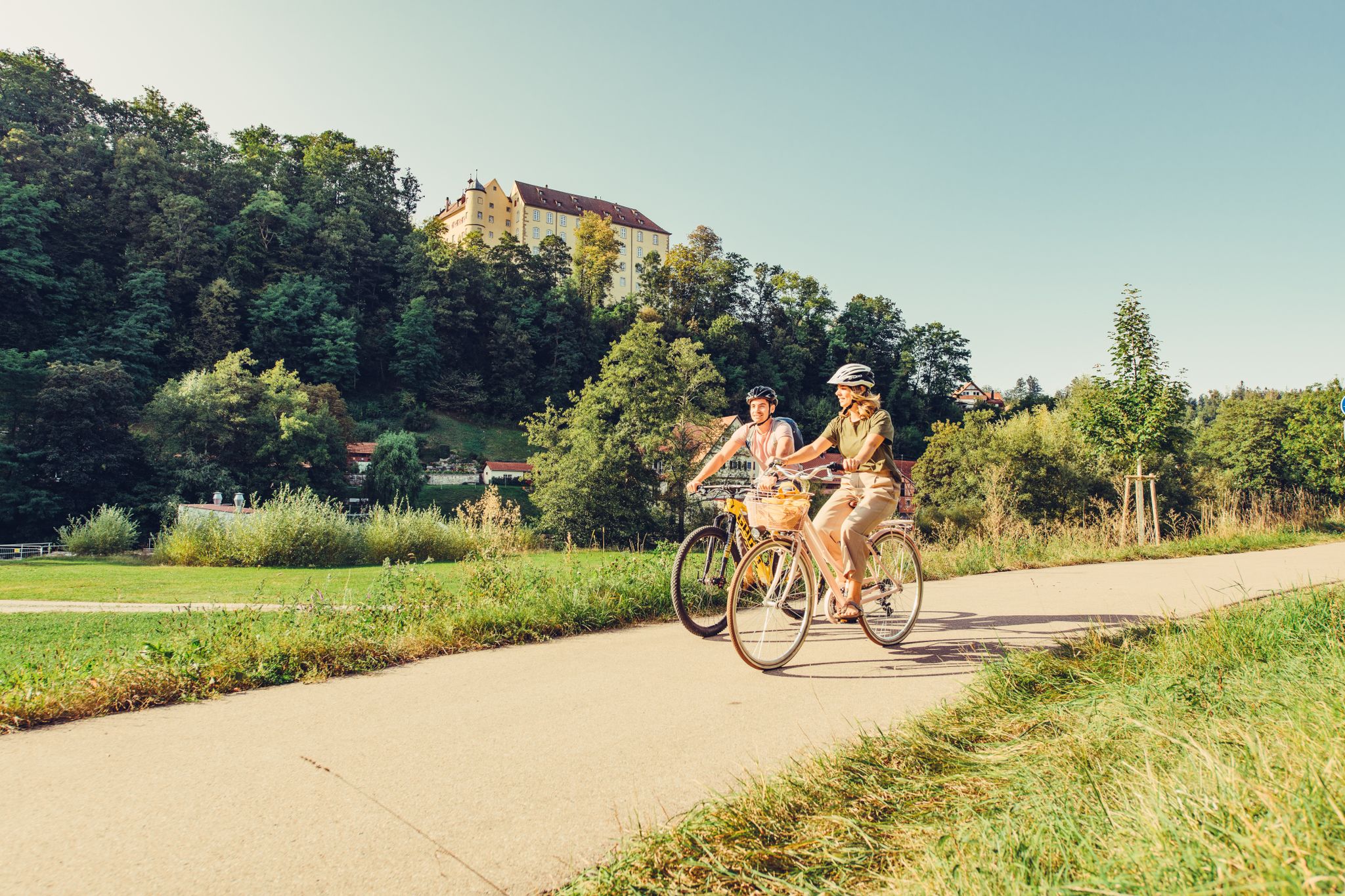
6 stages on the Kocher-Jagst cycle path through southern Germany

Family hiking with the adventure factor in the 'Süden ganz oben'

Family time on two wheels – in the 'Süden ganz oben'
Other adventures in Hohenlohe


Tips from the Community

Beautiful singletrack in Löwensteiner Land
0
0

The lake is located in the middle of the forest, beautifully secluded and quiet.
3
0

The language of the following quote may seem a little dated to us, but surely many hikers will be able to relate to the words of Josef Hofmiller (Dr. phil., 1872-1933): „... that is what hiking is: When do we ever feel so filled with life to the brim, to overflowing, as on a hike? We breathe more freely, our blood pulses more joyfully, the world seems more colorful and richer to us, happiness sings ahead of us from tree to tree like a finch...“
0
0

The telecommunications tower is located on the Hohe Brach, the highest point in the Rems-Murr district, between the villages of Erlach and Grab in the municipality of Großerlach. The tower itself is 133 meters high, with its summit reaching a total elevation of over 719 meters above sea level. Visitor Information Accessibility: Unfortunately, entering the telecommunications tower is not permitted; there is no publicly accessible viewing platform. Reaching the Tower: The tower is very impressive from below and can be a worthwhile destination for a trip to the Hohe Brach. The area is very secluded and situated in the forest, which ensures clean air. Accessibility: ...
1
0


A welcome passage
1
0
Frequently Asked Questions
What kind of terrain can I expect on mountaineering routes in Hohenlohekreis?
Mountaineering in Hohenlohekreis primarily involves navigating wooded hills, fertile plains, and wide river valleys shaped by the Kocher and Jagst rivers. You'll encounter diverse landscapes including mixed forests, vineyards, and gently rolling terrain. While there are no high alpine peaks, routes feature notable elevation changes, offering strenuous hikes and panoramic views from hills like Horkenberg (566m) and Mühlberg (541m).
Are there any easy mountaineering routes suitable for beginners in Hohenlohekreis?
Yes, Hohenlohekreis offers routes suitable for various ability levels. For a gentler introduction to mountaineering in the region, consider the Steinernes Sofa loop from Enzwiese. This easy route covers about 6.7 km and takes around 1 hour 58 minutes to complete, with manageable elevation changes.
Can I find circular mountaineering routes in Hohenlohekreis?
Absolutely. Many of the mountaineering routes in Hohenlohekreis are designed as loops, allowing you to start and end at the same point. Examples include the challenging Tobelschlucht Fountain – Tobel Gorge and the Hollow Stone loop from Wüstenrot, or the moderate Schloss Domeneck loop from Züttlingen, which leads through river valleys and past historic castles.
What historical landmarks can I see along the mountaineering trails?
Hohenlohekreis is rich in history. You can explore the UNESCO World Heritage Site of the Upper Germanic-Raetian Limes, with routes like the Limes Watchtower on Heidenbuckel – Hohe Brach Transmission Tower loop from Grab traversing historical Limes features. The region is also known as the 'Land of Castles and Palaces,' with many historic buildings and medieval townscapes, such as those found in Forchtenberg, adding to the charm of your journey.
Are there any huts or shelters available along the routes for a break?
Yes, there are several huts and shelters in the Hohenlohe region where you can take a break. Notable options include the Naturfreundehaus Steinknickle and Steinknickle Tower, the Weißlensberg Alpine Hut, and the Siebeneicher Himmelreich barbecue hut with a view of the Hohenlohe Plain. These can be great spots to rest and enjoy the scenery.
What are some of the natural features to look out for on these routes?
The natural beauty of Hohenlohekreis is a highlight of its mountaineering routes. You'll encounter scenic river valleys carved by the Kocher and Jagst, dense mixed forests, and picturesque vineyards. The region also features numerous small lakes and unique rock formations, such as those found on the Tobelschlucht Fountain – Tobel Gorge and the Hollow Stone loop from Wüstenrot.
How many mountaineering routes are available in Hohenlohekreis?
There are several dedicated mountaineering routes in Hohenlohekreis, with at least five highly-rated options available in this guide. These routes offer a range of distances and difficulty levels, from easy to difficult, ensuring there's something for every mountaineer.
What do other mountaineers enjoy most about the routes in Hohenlohekreis?
Mountaineers exploring Hohenlohekreis often praise the region's diverse landscape, which combines wooded hills, river valleys, and historical landmarks. The routes are appreciated for offering varied elevation changes and providing opportunities for both moderate ascents and more challenging paths, all within a picturesque setting.
Are there any routes that offer panoramic views?
Yes, several routes provide excellent panoramic views. The region's highest points, such as Horkenberg (566m) and Mühlberg (541m), offer opportunities for ascents with rewarding vistas. For example, the Limes Watchtower on Heidenbuckel – Hohe Brach Transmission Tower loop from Grab offers views from the Hohe Brach Transmission Tower, showcasing the expansive Hohenlohe landscape.
What is the typical duration for a mountaineering route in Hohenlohekreis?
The duration of mountaineering routes in Hohenlohekreis varies depending on the length and difficulty. For instance, an easy route like the Steinernes Sofa loop from Enzwiese can be completed in under 2 hours, while moderate routes like the Schloss Domeneck loop from Züttlingen typically take around 2 hours 19 minutes. Longer, more challenging routes may require up to 3 hours or more.
Are there any specific routes that are particularly challenging?
For those seeking a more challenging experience, the Tobelschlucht Fountain – Tobel Gorge and the Hollow Stone loop from Wüstenrot is classified as a difficult mountaineering route. This 5.2 km trail takes approximately 1 hour 33 minutes and explores a scenic gorge with unique rock formations, offering a more strenuous ascent.
Most popular routes in Hohenlohe
Most popular attractions in Hohenlohe

Get inspired with the komoot mobile app


Didn’t find what you were looking for?
Check out more Mountain Hikes & Routes throughout Hohenlohekreis below and find the perfect route in your destination.
Explore more
Browse the best Mountain Hikes & Routes in other regions.
