The best traffic-free bike rides in Santa Teresa County Park
4.6
(87)
1,396
riders
44
rides
Touring cycling in Santa Teresa County Park offers a diverse landscape for riders, situated within the Santa Teresa Hills just south of San Jose. This 1,673-acre park features an extensive network of over 17 miles of unpaved trails, including fire roads and singletrack, suitable for various skill levels. The terrain ranges from gentle rolling hills to challenging steep climbs, particularly around Coyote Peak, the park's highest point. Riders can expect a mix of non-native grasslands and mixed oak woodlands, providing…
Last updated: July 10, 2026
14
riders
Moderate bike ride. Good fitness required. Mostly paved surfaces. Suitable for all skill levels.
4
riders
12.1km
01:15
330m
330m
Moderate bike ride. Good fitness required. Mostly paved surfaces. Suitable for all skill levels.

Sign up for free
5.0
(1)
158
riders
15.3km
01:32
260m
260m
Moderate bike ride. Good fitness required. Mostly paved surfaces. Suitable for all skill levels.
97
riders
Hard bike ride. Very good fitness required. Mostly paved surfaces. Suitable for all skill levels.
5.0
(1)
12
riders
Hard bike ride. Very good fitness required. Mostly paved surfaces. Suitable for all skill levels.
Get access to more routes and recommendations from other explorers.
Sign up for free
Already have an account?
Our route recommendations are based on thousands of hikes, rides, and runs completed by other people on komoot.
Start today with a free account
Your next adventure awaits.
Login or Signup


Other adventures in Santa Teresa County Park

Tips from the Community


The Lisa Killough Trail is a popular blue-rated mountain biking trail that offers a casual climb with scenic views at the start, followed by a smooth, fun, and flowy descent toward the reservoir. It’s fairly beginner-friendly, but there are optional technical features along the way to add a bit of excitement for those seeking more variety.
0
0
This wooden footbridge crosses a small creek along the Rocky Ridge Trail.
0
0

The Pueblo Trail in Santa Teresa County Park, just 10 miles south of downtown San Jose, offers a scenic dirt trail over grassy hills and through clusters of small trees. Connecting the western and eastern sections of the Mine Trail, it leads to the park’s central picnic area, which features parking, restrooms, and other amenities. The trail provides picture-worthy views of the Almaden and Santa Clara Valleys.
0
0
The climb to Coyote Peak follows blue trails and brings bikers to an elevation of just about 1,000 feet above sea level. The climb has views all along the way as trees and shrubs are small and sparse, and the reward at the top is well worth the effort.
0
0

Located right by the parking area you can find some additional info before heading out on your ride.
0
0
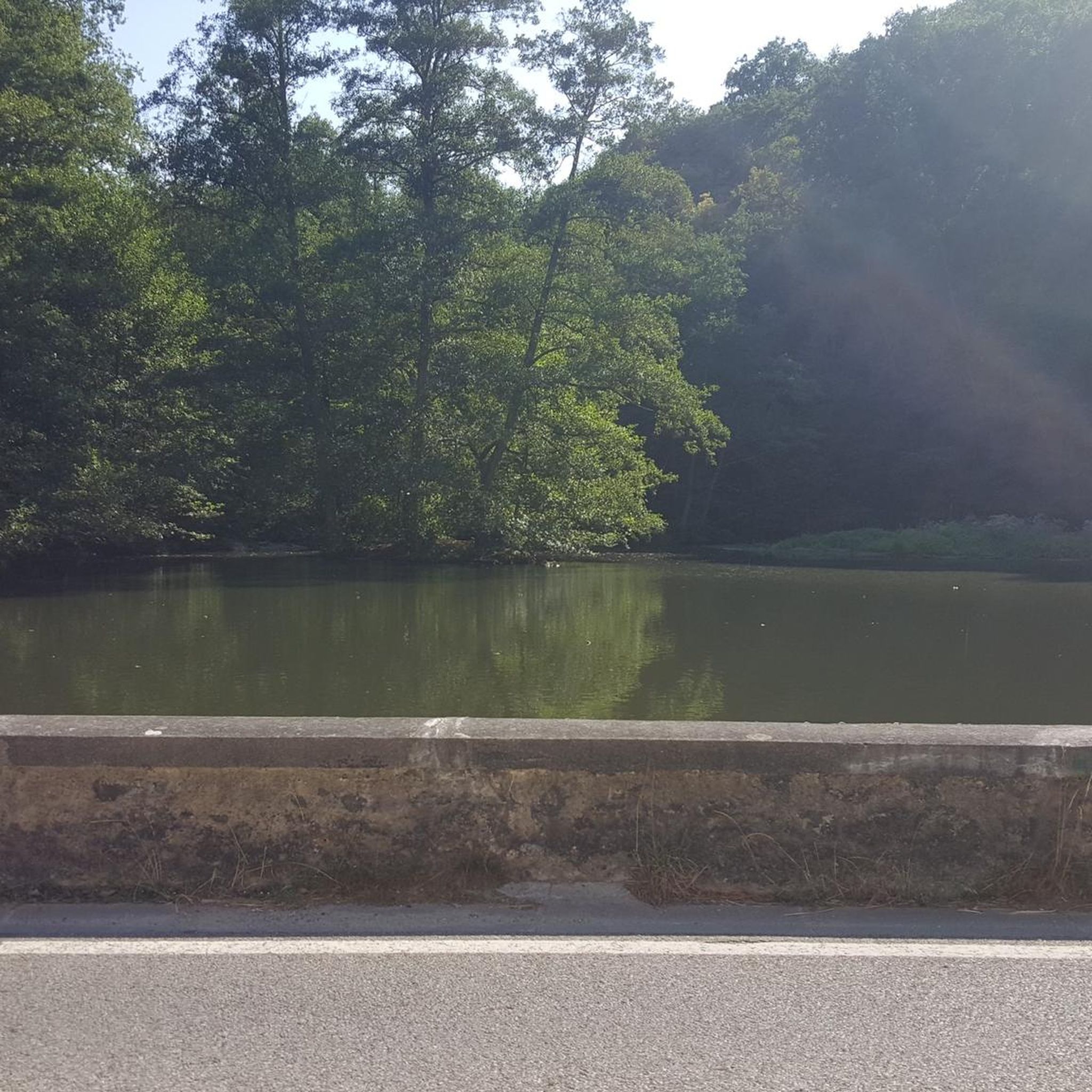
Nice gravel trail that winds its way through the park. Some sections follow long the water giving you some great views.
0
0
This viewpoint is worth all the elevation gain, and more. From here you'll get a commanding view across the hills, and each season brings its own unique charm.
0
0
Frequently Asked Questions
How many no traffic touring cycling routes are available in Santa Teresa County Park?
Santa Teresa County Park offers over 30 dedicated no traffic touring cycling routes. These routes cater to various skill levels, with approximately a third being easy, a third moderate, and a third challenging, ensuring a suitable ride for most cyclists.
What kind of terrain can I expect on the no traffic touring cycling routes in Santa Teresa County Park?
The park features a diverse trail system with over 17 miles of unpaved trails, including fire roads and some singletrack sections. While many routes are suitable for touring bikes, be prepared for varied terrain, from rolling hills to steeper climbs, particularly around areas like Coyote Peak. Some trails may include rocky stretches or tight switchbacks.
Are there any family-friendly no traffic touring cycling routes in Santa Teresa County Park?
Yes, there are several easy routes perfect for families. For a shorter, less strenuous ride, consider the Rancho San Vicente Trailhead loop from Rancho San Vicente Entrance, which is just over 3 km. Another accessible option is the Pfeiffer Park loop from McKean Road & Martwood Way, offering a longer, easy ride of about 20 km.
What are the best times of year to go touring cycling in Santa Teresa County Park?
The park is enjoyable year-round, but late winter and early spring are particularly beautiful. During this time, the serpentine soil areas, especially in the northwest and southern sections, burst with spectacular displays of native wildflowers. The weather is generally mild, making for pleasant riding conditions.
Can I find circular no traffic touring cycling routes in the park?
Yes, many of the no traffic touring cycling routes in Santa Teresa County Park are designed as loops. For example, the Bay Area Ridge Trail: Calero Park Loop offers a moderate 15 km circular ride. For a more challenging option, the Coyote Ranch – Coyote Pond loop from Santa Teresa is a difficult 42 km loop.
What scenic viewpoints or natural features can I expect to see along the routes?
Cyclists are treated to breathtaking panoramic vistas of the Almaden and Santa Clara Valleys from many trails. Coyote Peak, the highest point, offers expansive views of the entire San Francisco Bay Area. The Stile Ranch Trail also provides scenic views of the Almaden Valley and green pastures with the Sierra Azul mountains in the background. You'll also encounter diverse landscapes including non-native grasslands and mixed oak woodlands.
Are there any historical landmarks or attractions to visit near the cycling routes?
Beyond its natural beauty, Santa Teresa County Park holds historical interest. You can visit attractions like the Bernal-Gulnac-Joice Ranch and Santa Teresa Springs, which are open to the public. Some trails, like the Pueblo Trail or Mine Trail loop, might pass near or through areas with historical significance.
What do other touring cyclists enjoy most about the no traffic routes in Santa Teresa County Park?
The area is highly rated by the komoot community, with an average score of 4.6 out of 5 stars from 78 reviews. Reviewers often praise the park's extensive trail network, the diverse landscapes, and the spectacular panoramic views, especially from higher elevations like Coyote Peak. The quiet, secluded upland valleys are also frequently mentioned as a highlight for those seeking a peaceful ride.
Is parking available for touring cyclists at Santa Teresa County Park?
Yes, Santa Teresa County Park offers various parking areas. Specific trailheads and entrances typically have designated parking lots, making it convenient to access the no traffic touring cycling routes. It's advisable to check the park's official website or signage for the most current parking information and any potential fees.
Are dogs allowed on the no traffic touring cycling trails in Santa Teresa County Park?
Santa Teresa County Park is generally dog-friendly, but specific rules apply. Dogs are typically allowed on trails but must be kept on a leash. It's always best to check the park's official regulations regarding pets before your visit, as policies can vary for different areas or specific trails.
What are some challenging no traffic touring cycling routes for experienced riders?
For experienced touring cyclists seeking a challenge, the park offers routes with significant elevation gain and technical sections. The Coyote Ranch – Coyote Pond loop from Santa Teresa is a difficult 42.5 km route with substantial climbing. Trails around Coyote Peak are known for their steep sections, requiring good fitness and bike handling skills.
Most popular routes in Santa Teresa County Park
Most popular attractions in Santa Teresa County Park

Get inspired with the komoot mobile app


Explore more
Browse the best Cycling routes in other regions.
