The best cycling routes in Santa Teresa County Park
4.6
(91)
1,477
riders
76
rides
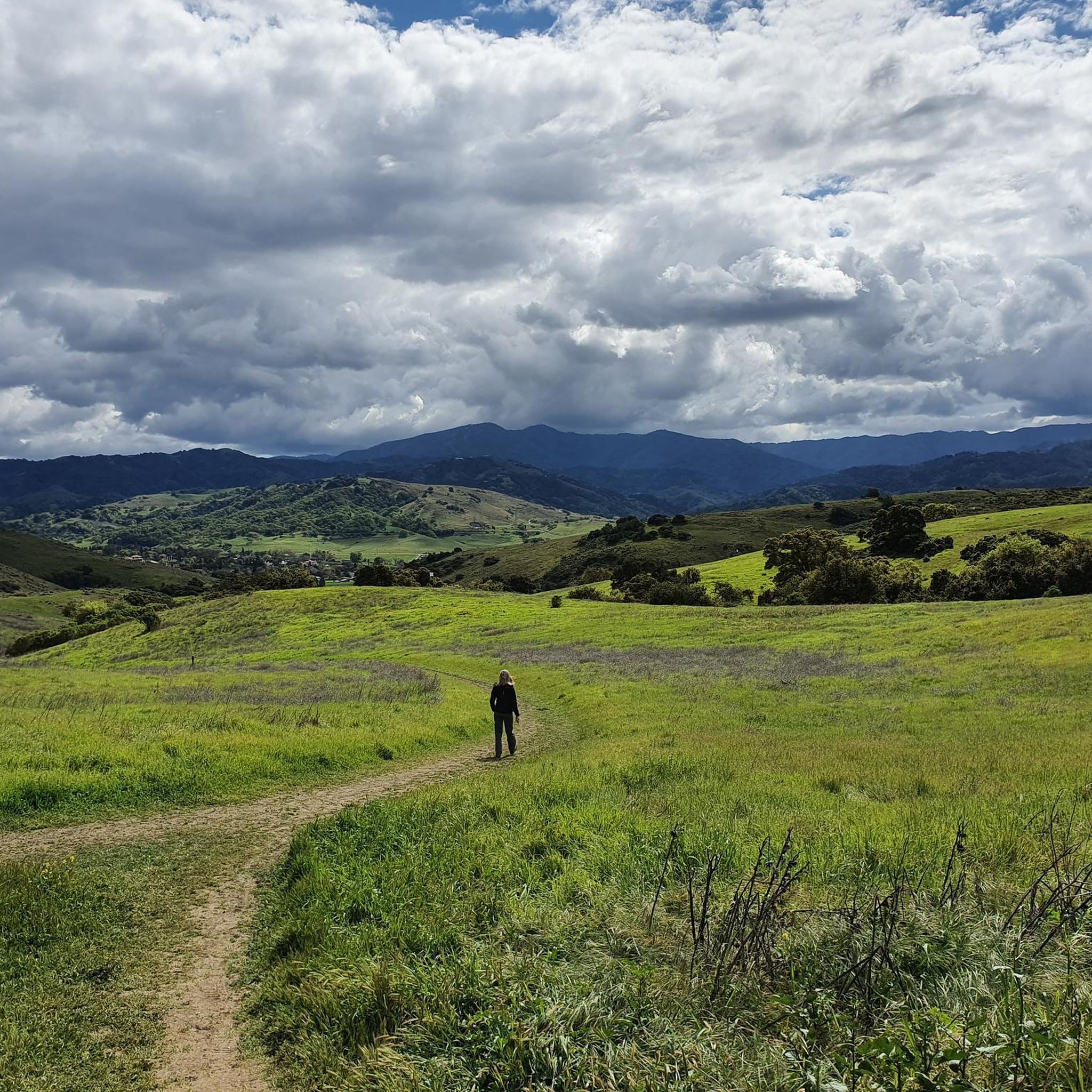
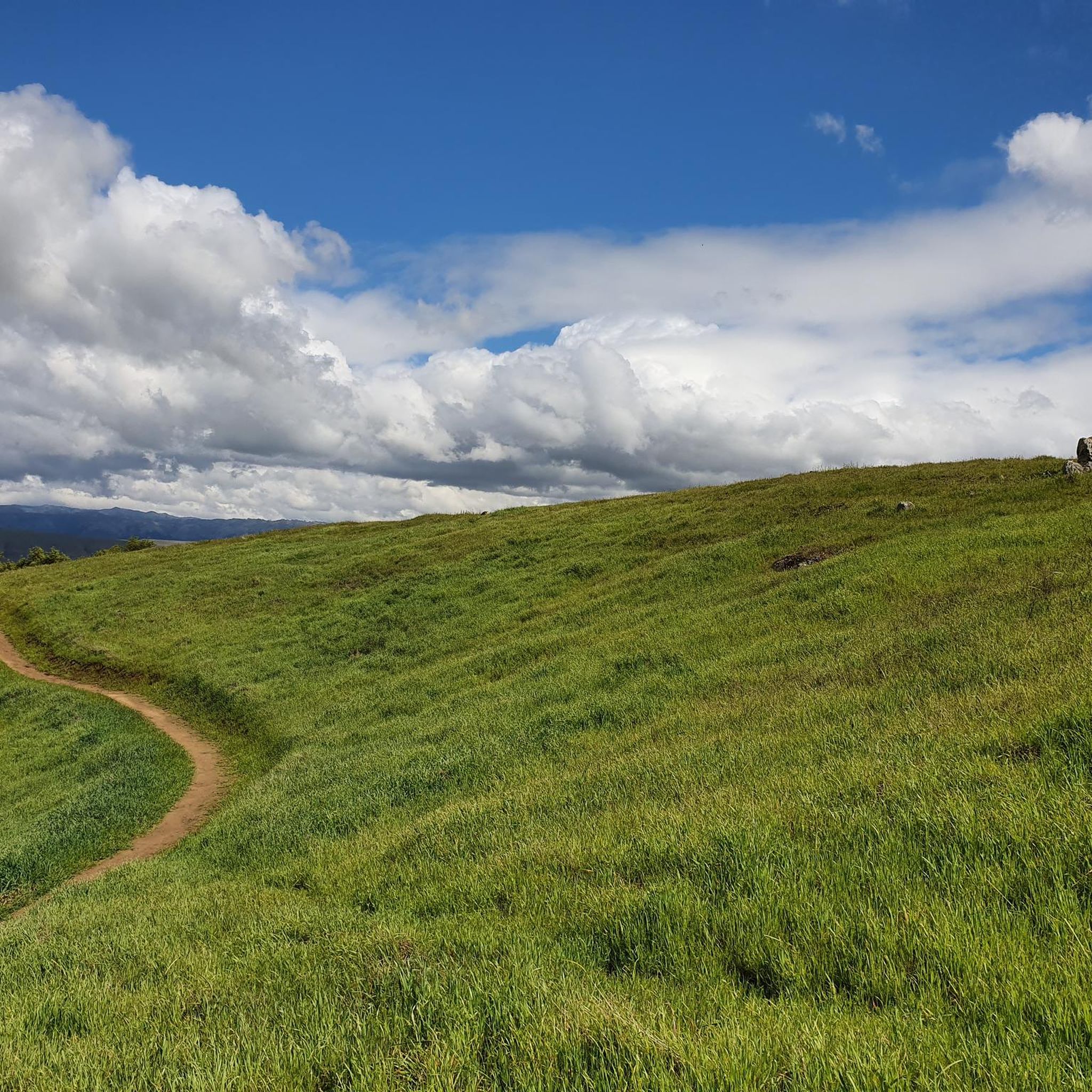
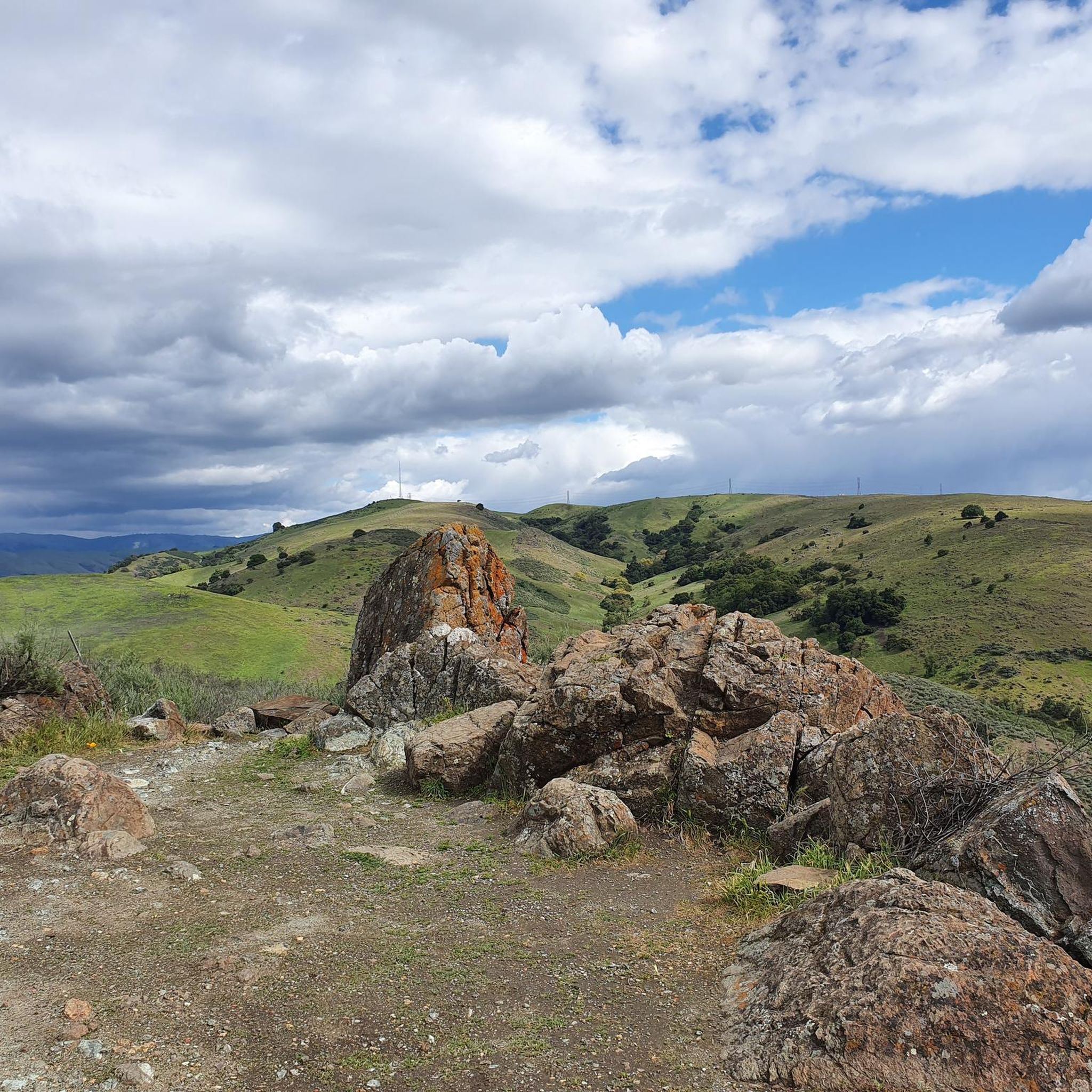
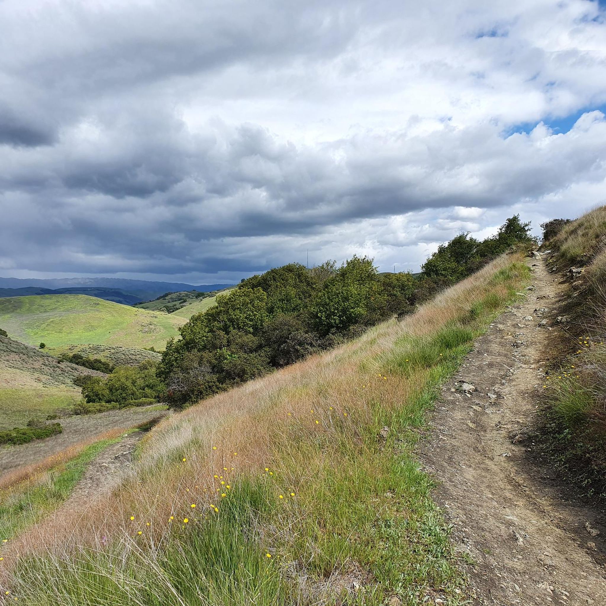
Touring cycling in Santa Teresa County Park offers access to 1,673 acres within the Santa Teresa Hills, featuring diverse landscapes for riders. The park is characterized by rolling hills, oak woodlands, and grasslands, providing varied terrain. Panoramic views of the Almaden and Santa Clara Valleys, the Diablo Range, and the Santa Cruz Mountains are accessible from various points, including Coyote Peak, the highest point at just over 1,000 feet. The park includes over 17 miles of unpaved trails suitable for bikes, with routes ranging from gentle rides to challenging ascents.
Best touring cycling routes in Santa Teresa County Park
- The most popular touring cycling route is Bay Area Ridge Trail: Calero Park Loop, a 9.5 miles (15.3 km) trail that takes 1 hour 32 minutes to complete. This route connects to other regional trails, offering extended touring opportunities.
- Another top favourite among local touring cyclists is Coyote Ranch – Ogier Ponds Bike Path loop from Martin Murphy Middle School, a moderate 23.4 miles (37.7 km) path. This route features varied terrain with some elevation changes.
- Local touring cyclists also love the Uvas Reservoir – Coyote Valley Farm loop from Santa Teresa, a 35.8 miles (57.6 km) trail leading through diverse landscapes, often completed in about 3 hours 25 minutes.
- Touring cycling in Santa Teresa County Park is defined by rolling hills, oak woodlands, and panoramic viewpoints. The network offers options for easy, moderate, and difficult routes, catering to different ability levels.
- The routes in Santa Teresa County Park are highly rated by the komoot community with an average score of 4.6 stars from over 70 reviews. More than 1300 touring cyclists have used komoot to explore Santa Teresa County Park's varied terrain.
Last updated: June 26, 2026
14
riders
Moderate bike ride. Good fitness required. Mostly paved surfaces. Suitable for all skill levels.
7
riders
11.9km
01:17
360m
360m
Moderate bike ride. Good fitness required. Mostly paved surfaces. Suitable for all skill levels.

Sign up for free
4
riders
12.1km
01:15
330m
330m
Moderate bike ride. Good fitness required. Mostly paved surfaces. Suitable for all skill levels.
5.0
(1)
157
riders
15.3km
01:32
260m
260m
The Bay Area Ridge Trail: Calero Park Loop offers a scenic and accessible touring cycling experience, winding through California Oak woodlands, chaparral, and rolling grassland hills. You'll enjoy expansive views of the Calero Reservoir and the Santa Cruz Mountains, with the landscape particularly lush and vibrant with wildflowers in early spring. The trail surface varies from hard-packed dirt to fine gray gravel, providing a smooth ride through open grass meadows and sparse oak woodlands.
This moderate 9.5-mile (15.3 km) route, with 837 feet (255 metres) of elevation gain, typically takes about 1 hour and 32 minutes to complete. It's considered beginner-friendly, featuring gentle climbs without extended steep ascents, making it a great option for those transitioning from flatter gravel paths. Remember that the loop is unidirectional (counter-clockwise) for bikes, and muddy patches can occur near a natural spring during winter.
As a key segment of the ambitious 550-mile Bay Area Ridge Trail, this loop integrates several trails, including the popular Lisa Killough Trail and Cottle Trail. Calero County Park has become a significant mountain biking destination, with new "flow" trails added since 2017. Keep an eye out for local wildlife like burrowing owls, coyotes, and even bald eagles as you explore this well-regarded route.
5.0
(1)
20
riders
20.1km
01:09
40m
40m
Easy bike ride. Great for any fitness level. Mostly paved surfaces. Suitable for all skill levels.
Get access to more routes and recommendations from other explorers.
Sign up for free
Already have an account?
Our route recommendations are based on thousands of hikes, rides, and runs completed by other people on komoot.
Start today with a free account
Your next adventure awaits.
Login or Signup
Popular around Santa Teresa County Park

Other adventures in Santa Teresa County Park

Tips from the Community


The Lisa Killough Trail is a popular blue-rated mountain biking trail that offers a casual climb with scenic views at the start, followed by a smooth, fun, and flowy descent toward the reservoir. It’s fairly beginner-friendly, but there are optional technical features along the way to add a bit of excitement for those seeking more variety.
0
0
This wooden footbridge crosses a small creek along the Rocky Ridge Trail.
0
0

The Pueblo Trail in Santa Teresa County Park, just 10 miles south of downtown San Jose, offers a scenic dirt trail over grassy hills and through clusters of small trees. Connecting the western and eastern sections of the Mine Trail, it leads to the park’s central picnic area, which features parking, restrooms, and other amenities. The trail provides picture-worthy views of the Almaden and Santa Clara Valleys.
0
0
The climb to Coyote Peak follows blue trails and brings bikers to an elevation of just about 1,000 feet above sea level. The climb has views all along the way as trees and shrubs are small and sparse, and the reward at the top is well worth the effort.
0
0

Located right by the parking area you can find some additional info before heading out on your ride.
0
0
Nice gravel trail that winds its way through the park. Some sections follow long the water giving you some great views.
0
0

This is a fun, rolling loop through the hills of Santa Teresa County Park, offering clear lines of sight in almost every direction.
0
0
Frequently Asked Questions
How many touring cycling routes are available in Santa Teresa County Park?
Santa Teresa County Park offers a wide selection of touring cycling routes, with over 80 options to explore. These routes cater to various skill levels, including 25 easy, 39 moderate, and 19 difficult paths.
What kind of landscapes can I expect to see while cycling in Santa Teresa County Park?
Touring cyclists in Santa Teresa County Park will experience diverse landscapes across 1,673 acres. The park features rolling hills, oak woodlands, and grasslands. You can also enjoy panoramic views of the Almaden and Santa Clara Valleys, the Diablo Range, and the Santa Cruz Mountains from various vantage points, especially from Coyote Peak.
Are there any family-friendly touring cycling routes in Santa Teresa County Park?
Yes, Santa Teresa County Park has 25 easy touring cycling routes that are suitable for families. These paths offer a gentler experience through the park's scenic landscapes, allowing everyone to enjoy the outdoors.
What are some challenging routes for experienced touring cyclists?
For experienced touring cyclists seeking a challenge, Santa Teresa County Park offers 19 difficult routes. Notable options include the Coyote Peak loop from Edenvale, which features a significant ascent to Coyote Peak, and the Lisa Killough Trail – Lisa Killough Lookout loop from Rancho San Vicente Entrance, a longer route through varied terrain. Another demanding option is the Mount Umunhum – Mount Umunhum loop from Santa Teresa.
Are there any circular touring cycling routes in the park?
Yes, many routes in Santa Teresa County Park are designed as loops, offering a convenient way to start and end your ride at the same point. Examples include the Bay Area Ridge Trail: Calero Park Loop and the Coyote Peak loop from Edenvale.
What can I see along the touring cycling routes in Santa Teresa County Park?
Along the touring cycling routes, you can discover several interesting points. Consider exploring the Pueblo Trail or the Rocky Ridge Trail for scenic views. Don't miss the Santa Teresa County Park Viewpoint for expansive panoramas. Other highlights include the Mine Trail loop and the Hidden Springs Trail.
What is the best time of year to go touring cycling in Santa Teresa County Park?
The park offers pleasant cycling conditions for much of the year. From March through June, you can witness spectacular displays of wildflowers, adding vibrant color to the landscape. While some routes can be demanding, requiring good to very good fitness, the varied terrain means there's usually a suitable option regardless of the season, though conditions can vary.
What do other touring cyclists enjoy most about Santa Teresa County Park?
The area is highly rated by the komoot community, with an average score of 4.7 stars from nearly 90 reviews. Reviewers often praise the diverse landscapes, the challenging climbs that reward with expansive views, and the extensive network of trails suitable for touring bikes.
Are there connections to other regional trails from Santa Teresa County Park?
Yes, Santa Teresa County Park offers connections to other regional trails and parks, providing opportunities for extended touring. For example, the Bay Area Ridge Trail: Calero Park Loop connects to other regional trails, allowing for longer rides beyond the park's boundaries.
What kind of terrain should I expect on the unpaved trails?
The park features over 17 miles of unpaved trails, including both fire roads and singletrack. Cyclists can expect a range of terrain, from challenging, steep climbs to exhilarating descents. Some trails, like Stile Ranch and Rocky Ridge, are known for technical sections with rocky terrain, tight switchbacks, and rock gardens. The Mine Trail also presents several steep hills.
Are there any historical sites accessible by bike in the park?
Yes, the park is home to the Bernal-Gulnac-Joice Ranch Historical Area, a preserved 20-acre site. While not directly on a touring cycling route, it's a significant attraction showcasing a historic ranch house, gardens, barn, and exhibits that delve into early California ranching life, offering a cultural stop during your visit to the park.
Most popular routes in Santa Teresa County Park
Most popular attractions in Santa Teresa County Park

Get inspired with the komoot mobile app


Explore more
Browse the best Cycling routes in other regions.
