The best walks and hikes in Santa Teresa County Park
4.6
(116)
1,520
hikers
15
hikes
If you've ever tried to plan hiking in Santa Teresa County Park, you know how quickly the options can feel overwhelming. With so many trails crisscrossing the hills, it's tough to know which routes are genuinely worth your time and effort, and which are just filler. We get it – sifting through countless maps and reviews to find the real gems can be a pain.
That's where komoot comes in. Our community has mapped, walked, and reviewed these routes, giving us the inside scoop on what makes Santa Teresa County Park special. We've curated this guide to save you the guesswork, pointing you straight to the trails that deliver the best experiences, not just the most miles.
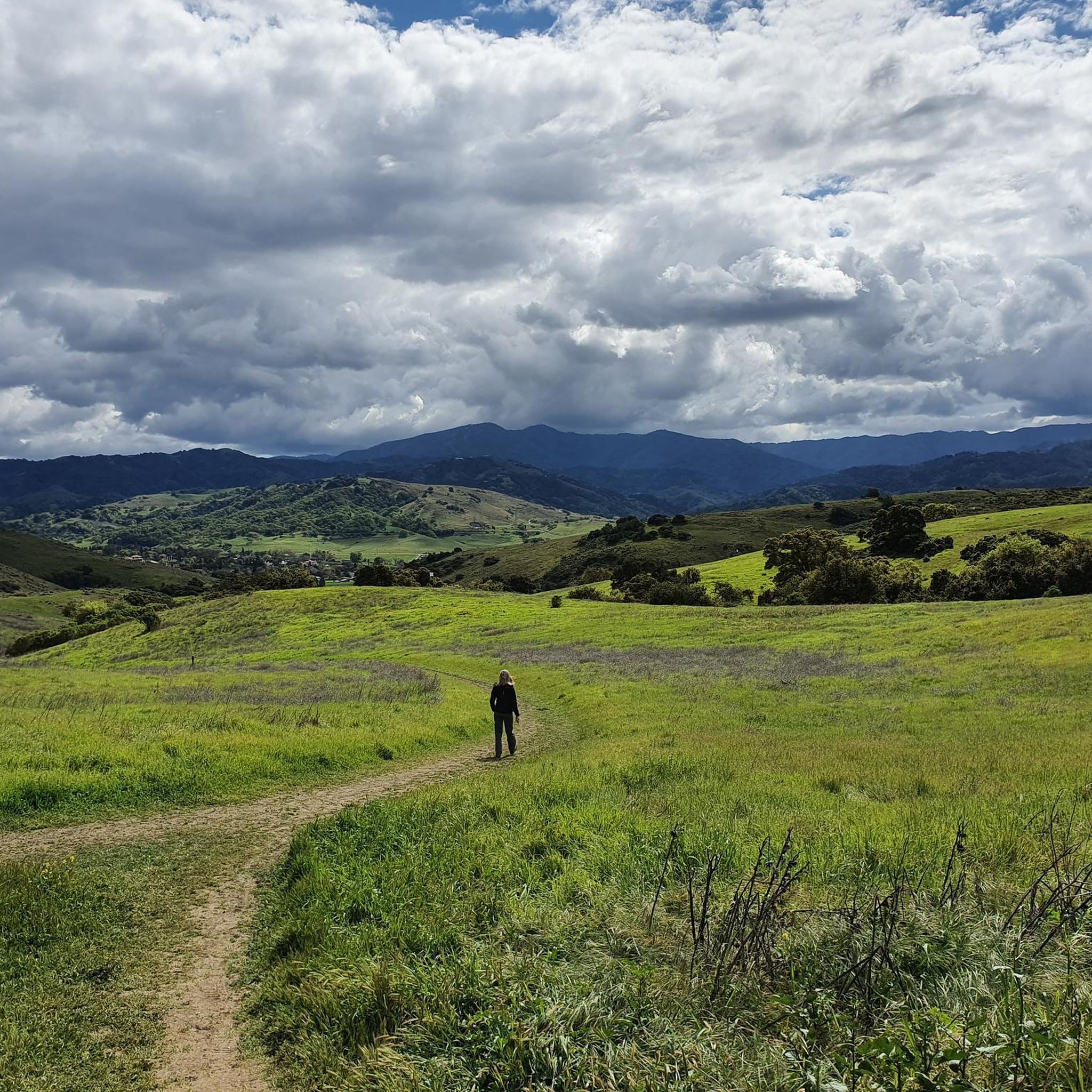
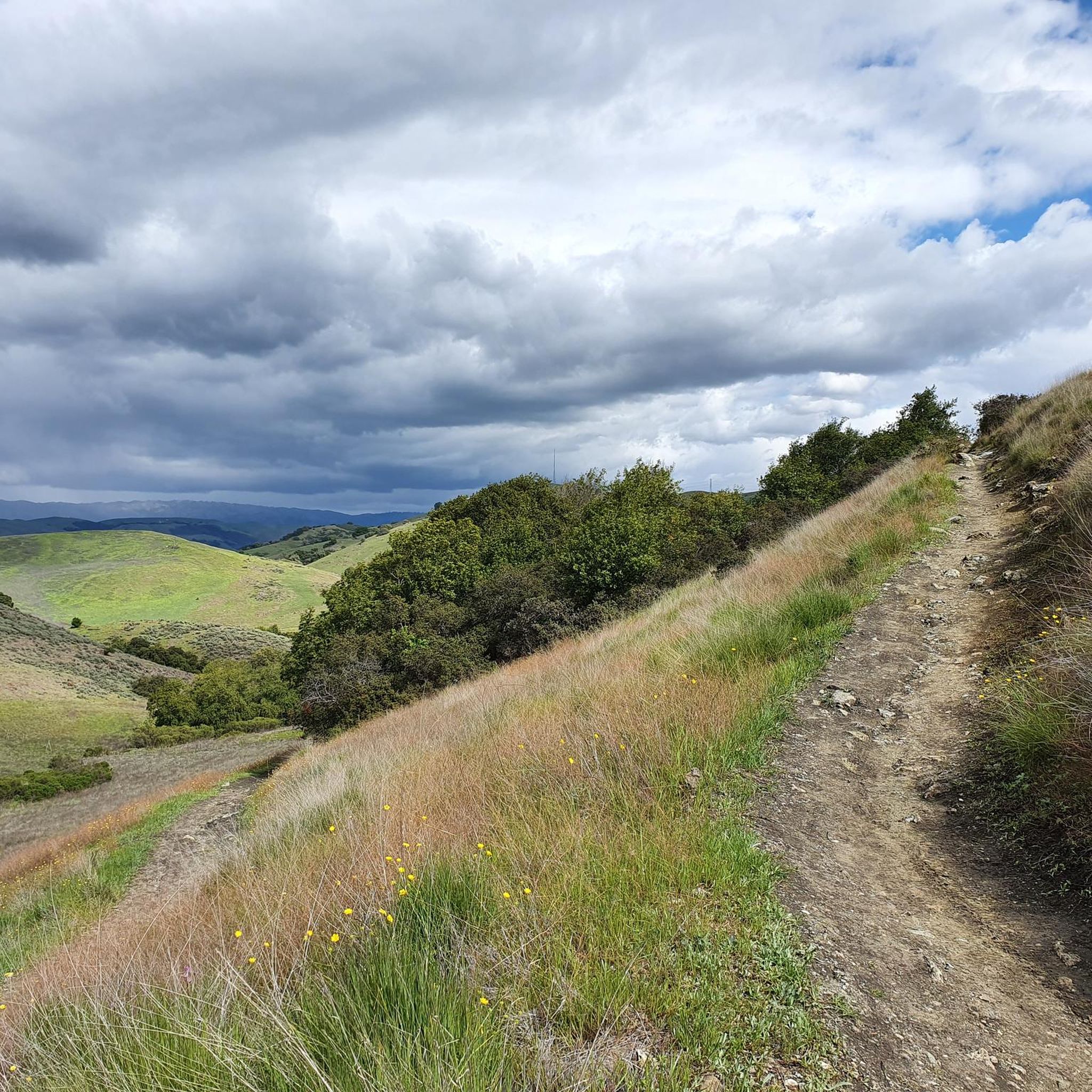
Hiking here means embracing rolling hills and expansive grasslands, with views that stretch across the Santa Clara Valley. The terrain offers everything from gentle strolls through oak woodlands to more demanding climbs up prominent ridges. What truly sets this park apart are the spectacular wildflower displays from March through June, transforming the hills into a vibrant tapestry.
If you only do one hike, make it the Coyote Peak and Rocky Ridge Trail Loop. At 6.9 miles (11.1 km), it's a moderate challenge that rewards you with panoramic views from the park's highest point – absolutely worth your legs. For a more relaxed, family-friendly option that still captures the park's charm, we love the Stile Ranch and Fortini Trail Loop, an easy 3.6 miles (5.8 km) path perfect for enjoying those spring wildflowers. Ready to explore? Let komoot guide your next adventure in Santa Teresa County Park.
Last updated: May 10, 2026
8
hikers
2.99km
00:50
60m
60m
The Mine Trail and Pueblo Loop offers a delightful, easy hiking experience, perfect for a quick escape into nature. This 1.9-mile (3.0 km) route features a gentle 196 feet (60 metres) of elevation gain, making it accessible for nearly everyone. You can comfortably complete this loop in about 50 minutes, enjoying the blend of what its name suggests: a journey through potential historical mining areas and a scenic natural loop.
Planning your visit to the Mine Trail and Pueblo Loop is generally simple due to its easy difficulty and short length. While specific details on parking or permits aren't widely publicized, it's always a good idea to check local park resources for the most current information. This trail is ideal for a casual outing, and you might find it most enjoyable during the cooler parts of the day.
This trail is a fantastic option for beginner hikers, families, or anyone looking for a low-impact outdoor activity in Santa Clara County. Its easy difficulty and short duration mean you don't need extensive preparation or gear, just a desire to get outside. It's a great way to experience the local landscape without committing to a longer, more strenuous adventure.
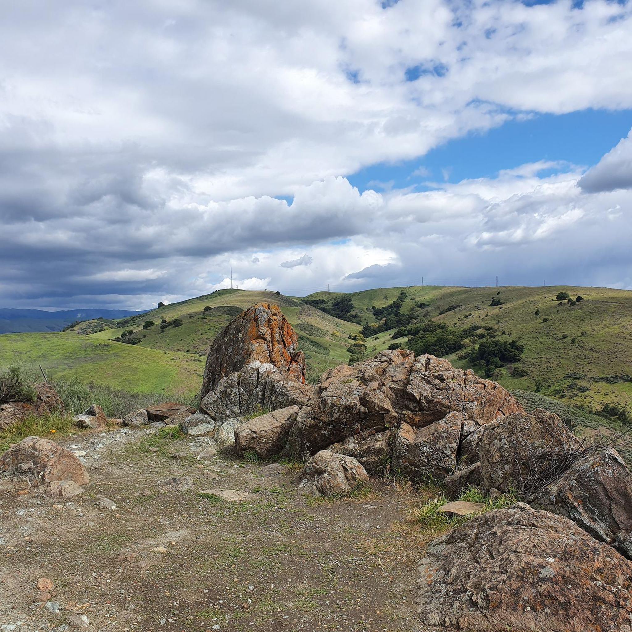
This section of the Bay Area Ridge Trail offers a dynamic hiking experience, transitioning from exposed, oak-studded grasslands to shaded creekside paths. You'll climb to Coyote Peak, where you're treated to expansive 360-degree views of the Santa Clara Valley, before descending to follow the tranquil Calero Creek and Los Alamitos Creek Trails. Keep an eye out for unique serpentine outcrops and vibrant spring wildflowers along the way.
Planning your visit requires a bit of foresight. The trail's exposed sections, particularly in Santa Teresa County Park, can get very hot during summer and early fall, so an early start with plenty of water is wise. Be sure to bring a reliable map, as trail signage can be inconsistent in some areas. This moderate 8.2-mile (13.2 km) hike, with 999 feet (305 metres) of elevation gain, typically takes around 3 hours and 46 minutes to complete.
This route is one of the best Bay Area Ridge Trail sections in South San Jose, known for its varied terrain and the stunning panoramic views from Coyote Peak. It's a multi-use trail, popular with hikers, equestrians, and cyclists, and is especially rewarding during spring when wildflowers carpet the hillsides. The contrast between the open ridges and the shaded creek environments makes for a truly engaging day out.

Sign up for free
5.0
(3)
39
hikers
11.1km
03:16
320m
320m
The Coyote Peak and Rocky Ridge Trail Loop offers a fantastic escape into nature with expansive views over the Santa Clara Valley. You'll traverse diverse terrain, from shaded oak woodlands to open grassy hillsides, passing unique serpentine rock formations and vibrant seasonal wildflowers. The ascent to Coyote Peak provides stunning panoramas, making the effort of this moderate route truly rewarding.
This 6.9-mile (11.1 km) hike, with 1052 feet (321 metres) of elevation gain, typically takes around 3 hours and 16 minutes. Parking is available at the Santa Teresa County Park trailhead, but it can fill up quickly on busy days. The trail is best enjoyed in spring for wildflowers or winter for green hills, but be mindful of potentially muddy conditions after rain.
What makes this trail particularly notable is its proximity to San Jose while offering a genuine sense of wilderness and far-reaching vistas that stretch to the Santa Cruz Mountains and even the San Francisco Bay Area on clear days. It's a well-loved spot for a day hike, providing a serene escape with ecological interest thanks to its unique serpentine ecosystems and rare plant species.
4.7
(7)
41
hikers
5.81km
01:40
140m
140m
The Stile Ranch and Fortini Trail Loop offers a delightful mix of open grasslands and chaparral habitats within Santa Teresa County Park. You'll experience varied terrain, from the rugged, switchbacking climb of the Stile Ranch Trail with its expansive views of the Santa Teresa hills and Mount Umunhum, to the gentler, rolling paths of the Fortini Trail winding through scattered oak trees. It's a fantastic way to immerse yourself in nature without venturing far from San Jose.
This easy 3.6-mile (5.8 km) hike involves 448 feet (136 metres) of elevation gain and typically takes around 1 hour and 39 minutes to complete. Be aware that the Stile Ranch section can be rocky and exposed, so bring water and sun protection. Spring is the best time to visit, as the trail bursts into color with abundant wildflower displays, including vibrant California poppies.
Beyond the scenic beauty, the loop is a haven for wildlife, making it a great spot for birdwatching with sightings of wrentits and sparrows, and you might even spot jackrabbits along the Fortini Trail. A portion of the Stile Ranch Trail is also part of the larger Bay Area Ridge Trail, offering a sense of connection to a broader network of paths.
5.0
(1)
13
hikers
12.4km
03:45
420m
420m
The Joice, Bernall Hill, Mine, Ohlone loop offers a dynamic hiking experience within Santa Teresa County Park, showcasing varied terrain and stunning vistas. You'll traverse unpaved paths and rocky sections, with the Joice Trail renowned for its vibrant spring wildflowers and Bernal Hill providing expansive views across San Jose and the bay. It's a moderate 7.7-mile (12.4 km) route with 1379 feet (420 metres) of elevation gain, making it a rewarding outing for those seeking a good workout and diverse scenery.
Planning your visit means preparing for largely exposed sections; bring plenty of water, sun protection, and a hat, particularly on warm days. The trail can be challenging with steep ascents, so good fitness is recommended for the estimated 3 hours and 45 minutes duration. Parking is available at Santa Teresa County Park, but consider an early start to beat the heat and secure a spot.
This loop provides a unique opportunity to explore nature close to an urban environment, with the historical
Get access to more routes and recommendations from other explorers.
Sign up for free
Already have an account?
Our route recommendations are based on thousands of hikes, rides, and runs completed by other people on komoot.
Start today with a free account
Your next adventure awaits.
Login or Signup
Popular around Santa Teresa County Park

Other adventures in Santa Teresa County Park

Tips from the Community

This viewpoint is worth all the elevation gain, and more. From here you'll get a commanding view across the hills, and each season brings its own unique charm.
0
0

The Santa Teresa County Park offers multiple trails leading through the hilly grasslands. When you run these trails in the morning or in the evening, you have good chances to spot birds or deer and coyotes in the park.
0
0

Coyote Peak is the highest point in Santa Teresa County Park at just over 1000 feet in elevation. From the lookout at the top, you get views of the entire San Francisco Bay Area.
0
0

Santa Teresa County Park is a 1,673 acre park offering an array of spectacular views. There are secluded upland valleys here that offer a quiet place to escape developed areas and enjoy some solitude.
0
0
Coyote Peak is the highest point in Santa Teresa County Park at just over 1000 feet in elevation. From the lookout at the top you get views of the entire San Francisco Bay Area.
0
0

From this vista you get a good overview of the park.
0
0
This loop trail takes you to its highest point, Coyote Peak. It is embellished with very beautiful views.
0
0

As the name suggests, this segment is rocks, rocks and more rocks! Definitely an intermediate to advanced level section. For the 1st 3/4th of the segment its as rocky as it can get, need to pick the line carefully and control the braking. If one goes too slow, we won't get over many of the rocks..and you can't go too fast either.
1
0
Frequently Asked Questions
How many hiking trails are available in Santa Teresa County Park?
Santa Teresa County Park offers a network of over 10 hiking trails. These routes traverse rolling hills and open grasslands, providing diverse options for exploring the park's natural beauty.
What types of terrain can I expect on the trails in Santa Teresa County Park?
The trails in Santa Teresa County Park feature varied terrain, including rolling hills, open grasslands, and prominent ridges. You'll find paths suitable for both gentle walks and more strenuous climbs, offering panoramic views of the Santa Clara Valley.
Are there any easy hiking options for beginners or families in Santa Teresa County Park?
Yes, Santa Teresa County Park has several easy hiking options. For instance, the Fortini Trail to Stile Ranch loop is an easy 3.6-mile path that explores open spaces and gentle ascents, perfect for a relaxed outing.
Are there any challenging hikes in Santa Teresa County Park?
While there are no trails officially rated as 'difficult', the park offers several moderate routes that provide a good workout. The Coyote Peak loop via Rocky Ridge Trail, for example, is a 6.9-mile moderate trail with significant elevation gain, offering rewarding views from Coyote Peak.
What are some notable landmarks or viewpoints I can see while hiking in Santa Teresa County Park?
Hikers in Santa Teresa County Park can enjoy several notable features. Coyote Peak offers panoramic views of the Santa Clara Valley. Other trails like the Rocky Ridge Trail and Mine Trail loop also provide scenic experiences through the park's varied landscape.
Are there any circular hiking routes in Santa Teresa County Park?
Yes, many trails in Santa Teresa County Park are designed as loops, allowing you to start and end at the same point. Examples include the Coyote Peak loop via Rocky Ridge Trail and the Joice, Bernall Hill, Mine, Ohlone loop, which covers multiple hills and varied terrain.
What do other hikers say about the trails in Santa Teresa County Park?
The trails in Santa Teresa County Park are highly rated by the komoot community, with an average score of 4.5 stars from over 100 reviews. Hikers often praise the park's diverse terrain, panoramic views, and the variety of options available for different skill levels.
How long do hikes typically take in Santa Teresa County Park?
Hiking durations vary depending on the trail and your pace. Shorter, easy routes like the Fortini Trail to Stile Ranch loop can be completed in under 2 hours, while longer, moderate trails such as the Joice, Bernall Hill, Mine, Ohlone loop might take around 3 hours and 45 minutes.
Is Santa Teresa County Park suitable for dog-friendly hikes?
While specific details on dog policies are not provided, many county parks in the region typically allow dogs on trails, often requiring them to be on a leash. It's always recommended to check the official Santa Teresa County Park website for the most current regulations regarding pets before your visit.
Are there any trails that offer views of the Santa Clara Valley?
Yes, many trails in Santa Teresa County Park provide excellent opportunities for panoramic views of the Santa Clara Valley. Routes that ascend to higher elevations, such as those leading to Coyote Peak, are particularly known for their expansive vistas.
What is the total elevation gain on some of the more strenuous trails?
For moderate trails, you can expect significant elevation gain. For example, the Joice, Bernall Hill, Mine, Ohlone loop involves an elevation gain of approximately 420 meters (1,378 feet) over its 7.7-mile length.
Most popular routes in Santa Teresa County Park
Most popular attractions in Santa Teresa County Park

Get inspired with the komoot mobile app


Explore more
Browse the best Hikes in other regions.
