The best traffic-free bike rides in Mount Tamalpais State Park
4.5
(22)
599
riders
31
rides
If you've ever tried to plan gravel biking in Mount Tamalpais State Park, you know how quickly the sheer number of trails can feel overwhelming. How do you pick the routes genuinely worth your effort, and avoid the filler? It's tough to tell the highlights from the endless options, and your legs deserve better than guesswork.
That's where komoot comes in. Our community has ridden, mapped, and reviewed these routes, and we've distilled that collective wisdom into a curated shortlist.…
Last updated: May 30, 2026
5.0
(3)
76
riders
35.0km
03:01
930m
930m
Hard gravel ride. Very good fitness required. Mostly paved surfaces. Suitable for all skill levels.
4.8
(6)
73
riders
47.4km
04:21
1,270m
1,270m
Hard gravel ride. Very good fitness required. Mostly paved surfaces. Suitable for all skill levels.

Sign up for free
15
riders
45.7km
03:59
1,180m
1,180m
The Phoenix Lake – Fish Gulch trail junction loop from Mill Valley offers a demanding yet incredibly scenic gravel biking adventure. You'll wind through diverse landscapes, from the cool shade…
10
riders
51.6km
04:12
1,200m
1,200m
Hard gravel ride. Very good fitness required. Mostly paved surfaces. Suitable for all skill levels.
Get access to more routes and recommendations from other explorers.
Sign up for free
Already have an account?
Our route recommendations are based on thousands of hikes, rides, and runs completed by other people on komoot.
Start today with a free account
Your next adventure awaits.
Login or Signup





Tips from the Community


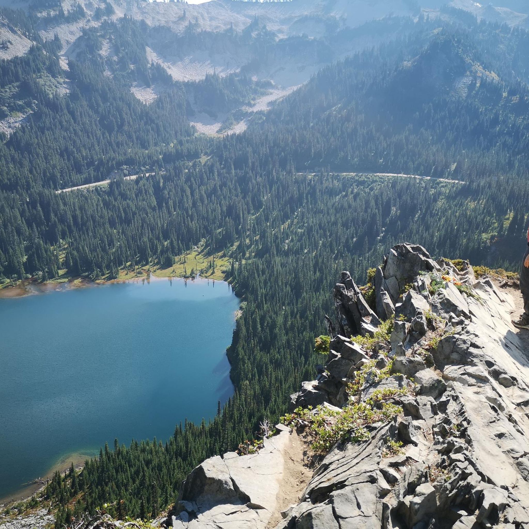
There is a great view of the northern point of Alpine lake where a small channel feeds over to Bon Tempe Lake. This is a great place to drop a line, or just enjoy the aquatic views.
0
0

From easiest to hardest climbs out of phoenix lake from this junction: -Shaver Grade, easy grade, longer, shaded and pretty -Eldridge Grade, medium, good length and can connect you to mt tam east peak -Fish Grade fire road, very steep, we hiked the bikes
1
0

On Shaver Grade Road, you get to ride along the incredibly blue waters of Phoenix Lake.
1
0

After looping around West Point the Railroad Grade trail snakes through open and tree-lined sections with fun curves.
0
0
On clear days views open up along the trail across the bay and including the San Francisco skyline
0
0
Uphill from this intersection a portion of the Railroad Grade has been taken over by Fern Canyon Rd after the Mt Tam railroad closed. A short distance uphill on pavement brings you to the end of Fern Cyn. A bit before the end the Railroad Grade gravel forest road splits off again to the right. The Temalpa Trail that joins here is steep with stairs, not open to biking.
0
0
Sweeping views south and east, all the way to SF, and Mt Tam right above behind you to the north. The bench is dedicated to the family who built their house in front of you 60 years ago.
0
0
Frequently Asked Questions
How many no-traffic gravel bike trails are available in Mount Tamalpais State Park?
Mount Tamalpais State Park offers a significant network of routes suitable for gravel biking with minimal traffic. This guide features over 30 such routes, ranging from moderate to difficult, ensuring a diverse experience for cyclists looking to explore the park's fire roads and mixed-terrain paths.
What is the typical difficulty level for no-traffic gravel bike trails in Mount Tamalpais State Park?
The no-traffic gravel bike trails in Mount Tamalpais State Park are generally considered challenging. While some sections of routes like the historic Old Railroad Grade offer a consistent, manageable ascent, many trails feature significant elevation gains and descents. This guide includes 7 moderate and 25 difficult routes, indicating that a good level of fitness and gravel biking experience is beneficial.
What scenic viewpoints or landmarks can I expect on these car-free gravel routes?
Many car-free gravel routes in Mount Tamalpais State Park offer breathtaking views and pass by notable landmarks. From the Mount Tamalpais Summits, you can enjoy 360-degree panoramic views of the San Francisco Bay Area, the Farallon Islands, and even the Sierra Nevada on clear days. Other highlights include Pantoll Road, which offers scenic vistas, and the diverse forests of redwood, fir, and oak that line many trails.
Are there family-friendly no-traffic gravel bike trails in Mount Tamalpais State Park?
While many routes in Mount Tamalpais State Park are rated moderate to difficult due to elevation and terrain, some sections of fire roads, like parts of the Old Railroad Grade, can be more accessible for families with older children or those comfortable with some climbing. It's advisable to check individual route profiles for specific details on distance and elevation to ensure suitability for your family's experience level.
Can I bring my dog on the gravel bike trails in Mount Tamalpais State Park?
Mount Tamalpais State Park has specific regulations regarding dogs on trails. Generally, dogs are permitted on paved roads and fire roads, but not on single-track hiking trails. Always keep your dog on a leash and be mindful of park rules. It's recommended to check the official California State Parks website for the most current pet policies before your visit.
What is the best time of year for gravel biking in Mount Tamalpais State Park?
Mount Tamalpais State Park is enjoyable year-round, but the best time for gravel biking is typically during the spring and fall. These seasons offer pleasant temperatures and less chance of extreme heat or heavy rain. Winter can be beautiful with lush greenery, but trails may be muddy. Summer can be warm, especially on exposed sections, so starting early is recommended.
Are there any loop options for no-traffic gravel bike trails?
Yes, many of the gravel routes in Mount Tamalpais State Park are designed as loops, allowing you to experience varied terrain without retracing your steps. For example, the Fern Creek and spring loop from Mill Valley offers a challenging 35 km loop with significant elevation gain, providing a comprehensive tour of the park's diverse landscapes.
Where can I park when accessing no-traffic gravel bike trails in Mount Tamalpais State Park?
Mount Tamalpais State Park offers several parking areas, including at Pantoll Campground, Bootjack Campground, and various trailheads. Many routes, such as those starting from Mill Valley, provide convenient access points. Always check for parking fees and availability, especially during peak seasons, and ensure you park in designated areas.
What kind of terrain should I expect on these gravel bike trails?
The terrain on Mount Tamalpais's no-traffic gravel bike trails is diverse. You'll encounter well-maintained fire roads, which are generally smooth but can have loose gravel, as well as mixed-terrain paths that may include sections of dirt, rocks, and roots. The park's landscape features cool redwood forests, oak woodlands, and open grasslands, providing varied surfaces and scenic backdrops.
What are some longer, more challenging no-traffic gravel routes for experienced riders?
For experienced riders seeking a significant challenge, routes like the Fish Gulch trail junction – Phoenix Lake loop from Mill Valley offer extensive distances and considerable elevation. This particular route covers over 51 km with more than 1200 meters of climbing, traversing deep canyons and sweeping hillsides, ideal for a full day's adventure.
What do other gravel bikers enjoy most about gravel biking in Mount Tamalpais State Park?
The area is highly rated by the komoot community, with an average score of 4.5 stars. Reviewers often praise the stunning panoramic views from the mountain's peaks, the tranquility of the redwood forests, and the challenging yet rewarding nature of the fire roads. The sense of escape from city traffic and the diverse natural beauty are frequently highlighted as major draws.
Are there any waterfalls or lakes accessible from the gravel bike trails?
Yes, the park features several natural water features. While not directly on every gravel bike trail, the Lagunitas Trail offers an easy gravel ride along the shore of Lake Lagunitas. Additionally, natural features like Caston Falls, Cascade Falls, and the scenic Cataract Falls are within the park and can be accessed via connecting trails, offering beautiful spots to explore off the bike.
Most popular routes in Mount Tamalpais State Park
Most popular attractions in Mount Tamalpais State Park

Get inspired with the komoot mobile app


Explore more
Browse the best Gravel rides in other regions.
