The best road cycling routes in Mount Tamalpais State Park
4.7
(212)
9,573
riders
85
rides
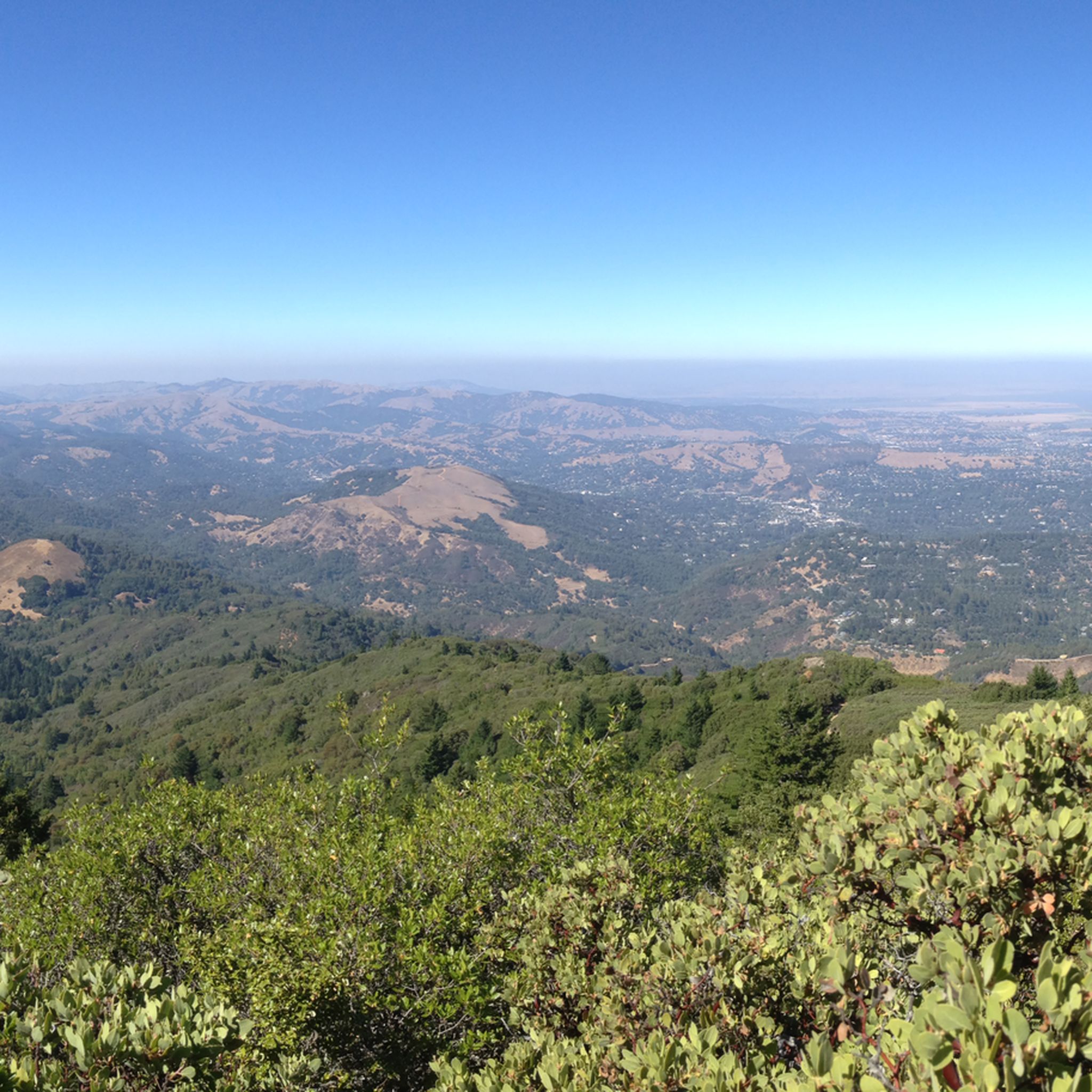
Road cycling in Mount Tamalpais State Park features diverse landscapes, including redwood forests, rocky outcrops, and open viewpoints. The terrain offers varied elevation gains, with routes ascending towards panoramic summits that provide views of the Pacific Ocean, San Francisco Bay, and surrounding hills. Cyclists encounter sustained climbs and descents across a landscape characterized by both dense woodlands and expansive vistas. The park's geography provides a range of road cycling experiences.
Best road cycling routes in Mount Tamalpais State Park
- The most popular road cycling route is Sausalito Path – Pickleweed Inlet crossing loop from Mill Valley, a 27.3 miles (44.0 km) trail that takes 2 hours 9 minutes to complete. This route connects coastal areas and offers views of the San Francisco Bay.
- Another top favourite among local road cyclists is Mount Tamalpais Summits – Pantoll Road loop from Stinson Beach, a difficult 24.2 miles (39.0 km) path. This route includes significant elevation gain as it ascends towards the park's summits, providing panoramic views.
- Local road cyclists also love the Martin Griffin Preserve – Bolinas Wharf loop from Stinson Beach, a 16.6 miles (26.8 km) trail leading through natural preserves and coastal areas, often completed in about 1 hour 13 minutes.
- Road cycling in Mount Tamalpais State Park is defined by redwood forests, challenging climbs to panoramic summits, and coastal views. The network offers options for different ability levels, from moderate loops to difficult ascents.
- The routes in Mount Tamalpais State Park are highly rated by the komoot community with an average score of 4.6 stars from more than 150 reviews. More than 9,000 road cyclists have used komoot to explore Mount Tamalpais State Park's varied terrain.
Last updated: September 2, 2026
5.0
(1)
130
riders
55.3km
03:12
1,250m
1,250m
Hard road ride. Very good fitness required. Mostly well-paved surfaces and easy to ride.
5.0
(1)
40
riders
30.0km
01:48
690m
690m
Moderate road ride. Good fitness required. Mostly well-paved surfaces and easy to ride.

Sign up for free
24
riders
Hard road ride. Very good fitness required. Mostly well-paved surfaces and easy to ride.
16
riders
19.7km
01:08
310m
310m
Moderate road ride. Good fitness required. Mostly well-paved surfaces and easy to ride.
15
riders
27.3km
01:15
200m
200m
Moderate road ride. Great for any fitness level. Some segments of this route may be unpaved and difficult to ride.
Get access to more routes and recommendations from other explorers.
Sign up for free
Already have an account?
Our route recommendations are based on thousands of hikes, rides, and runs completed by other people on komoot.
Start today with a free account
Your next adventure awaits.
Login or Signup
Popular around Mount Tamalpais State Park

Bay Area Ridge Trail — Circumnavigating the San Francisco Bay

Bay Area Ridge Trail — Hiking the backbone of The Bay

Chasing flow in the Bay Area
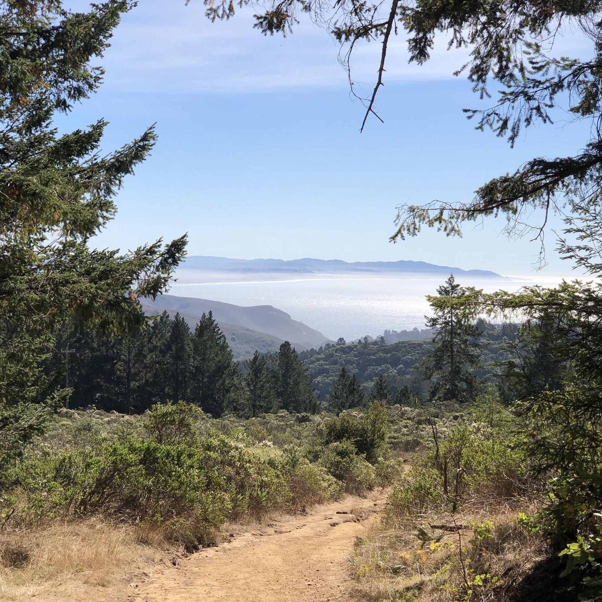
Hiking in Mount Tamalpais State Park
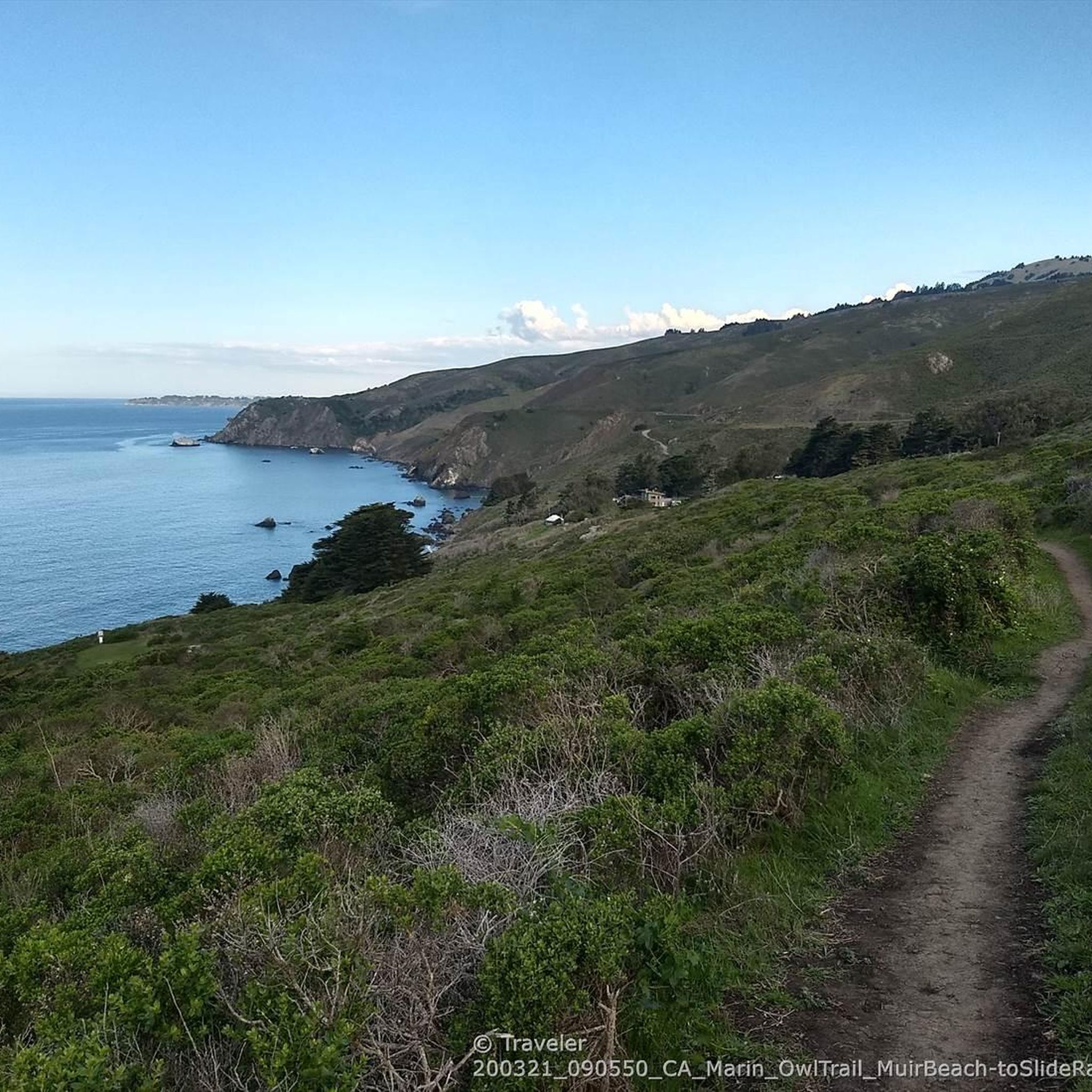
Running Trails in Mount Tamalpais State Park
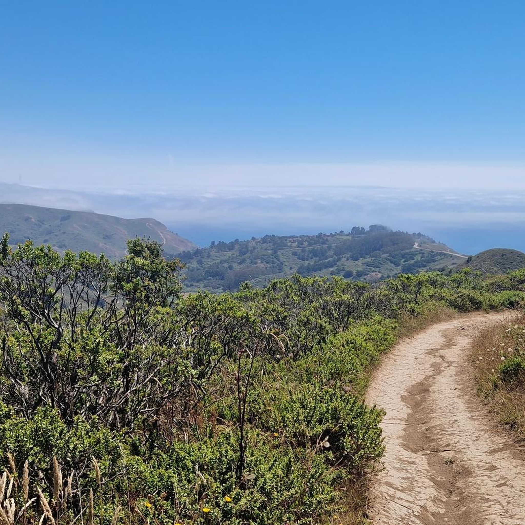
Cycling in Mount Tamalpais State Park
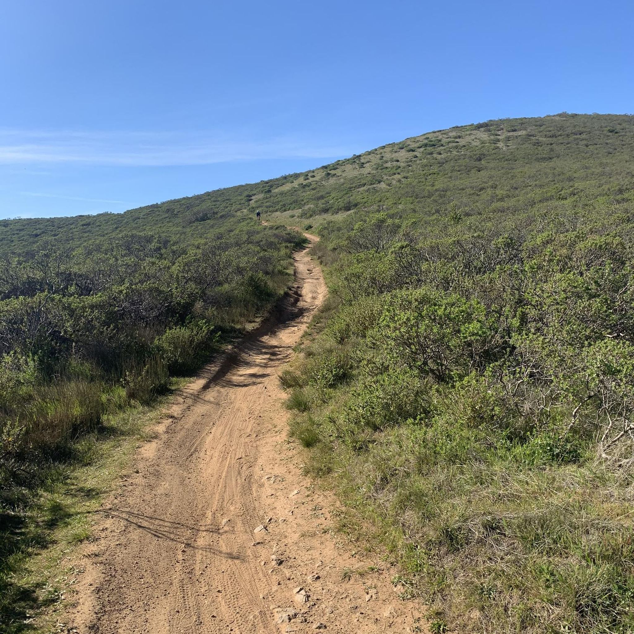
MTB Trails in Mount Tamalpais State Park
Gravel biking in Mount Tamalpais State Park


Tips from the Community

Paved section riding on the ridge between Pan Toll Road and Fairfax-Bolinas Road where it contains as Bolinas Ridge Trail, with spectacular views along the way toward the Pacific Ocean and Stinson Beach far below. The road is open during daylight hours only, in winter that means 9am to sunset.
0
0
Pleasant gradual paved road, branching off Shoreline Highway and deadending for vehicles at the Tennessee Valley Trailhead staging area. Bikers can continue all the way down to the beach.
0
0
Staging and rest area with parking, restrooms, and the historic horse stables that used to be part of a ranch before the headlands became a protected national recreation area.
0
0

Huggin Corte Madera Creek this 3.5-mile, multi-use path is a great option for those looking for a mellow route. It passes through Hal Brown-Creekside Park, which is a good spot for a break.
0
0


Set beneath the towering trees of Mount Tam, Rock Springs is the perfect jumping-off point for scenic hikes and quiet picnics—where trails, wildlife, and wide-open views begin.
0
0
Nestled in the quiet coastal hills of Bolinas, the Peace Barn is a soulful retreat space where creativity, community, and calm converge—ideal for workshops, gatherings, or simply slowing down.
0
0

The Pantoll Campground is a First-come/first-serve site in Mt. Tamalpais State Park. Each site has a barbeque grill, a fire ring, and a picnic table. You need to pay for the site at the Ranger Station as you enter the park.
1
0
Frequently Asked Questions
What is the overall difficulty level for road cycling in Mount Tamalpais State Park?
Mount Tamalpais State Park offers a range of road cycling routes, from moderate to difficult. You'll find routes with significant elevation gain, such as the Mount Tamalpais Summits – Pantoll Road loop from Stinson Beach, which is rated difficult. However, there are also moderate options like the Sausalito Path – Pickleweed Inlet crossing loop from Mill Valley, providing a variety of challenges.
What kind of elevation gain can I expect on road cycling routes in Mount Tamalpais State Park?
Road cycling in Mount Tamalpais State Park often involves sustained climbs, with routes generally featuring gradients around 6% and rarely exceeding 9%. For example, the Mount Tamalpais Summits – Pantoll Road loop from Stinson Beach includes nearly 950 meters of elevation gain, while the Shoreline Highway in Mount Tamalpais State Park – Shoreline Highway 1 loop from Mill Valley features almost 1000 meters of ascent.
What natural features will I encounter on a road cycling trip in Mount Tamalpais State Park?
You'll experience diverse natural beauty, from enchanting redwood forests with towering trees and a misty atmosphere to rocky outcrops and open viewpoints. The park offers sweeping vistas of the Pacific Ocean, the San Francisco Bay, and the Marin County hills. On clear days, views can extend to the Farallon Islands and even the Sierra Nevada mountains.
Are there any notable landmarks or attractions along the road cycling routes?
Yes, road cycling routes in Mount Tamalpais State Park pass by several significant landmarks and natural attractions. You can explore areas near Muir Woods National Monument Entrance, experience the panoramic views from Mount Tamalpais Summits, or discover the unique Redwood: A Slice of Tree-Ring History. The park also features the historic Old Railroad Grade, offering glimpses into its past.
Where can I find the best panoramic views while road cycling in Mount Tamalpais State Park?
For breathtaking panoramic views, aim for the summits. The East Peak, at 2,571 feet, and the West Peak offer 360-degree vistas of the Pacific Ocean, San Francisco Bay, and surrounding hills. The Mount Tamalpais Summits are a major draw for their expansive outlooks.
What do other road cyclists enjoy most about road cycling in Mount Tamalpais State Park?
The area is highly rated by the komoot community, with an average score of 4.6 stars from over 150 reviews. Reviewers often praise the combination of challenging climbs with incredibly scenic rewards, the diverse landscapes from redwood forests to coastal views, and the unparalleled vistas from the summits.
Are there any circular road cycling routes available?
Yes, Mount Tamalpais State Park features several excellent circular road cycling routes. Examples include the Sausalito Path – Pickleweed Inlet crossing loop from Mill Valley, the Mount Tamalpais Summits – Pantoll Road loop from Stinson Beach, and the Martin Griffin Preserve – Bolinas Wharf loop from Stinson Beach, all offering varied experiences.
What is the best time of year to go road cycling in Mount Tamalpais State Park?
Mount Tamalpais State Park is generally enjoyable for road cycling year-round, but conditions vary. Clear days offer the most expansive views. The misty atmosphere in redwood forests can be present at any time, adding to the unique experience. Always check local weather forecasts before heading out, especially for fog or rain.
Are there any challenging road cycling routes for experienced riders?
Absolutely. Experienced road cyclists will find routes with significant elevation gain and sustained climbs. The ascent to both the East and West Peaks of Mount Tamalpais is a popular challenge. Routes like the Mount Tamalpais Summits – Pantoll Road loop from Stinson Beach and the Shoreline Highway in Mount Tamalpais State Park – Shoreline Highway 1 loop from Mill Valley are rated as difficult and offer substantial climbs.
How many road cycling routes are available in Mount Tamalpais State Park?
There are over 80 road cycling routes available in Mount Tamalpais State Park, catering to various skill levels and preferences. This includes a good mix of easy, moderate, and difficult options to explore the diverse terrain.
Are there any road cycling routes that lead to the coast or offer ocean views?
Yes, several routes provide stunning coastal access and ocean views. Trails like the Matt Davis Trail lead through redwood forests down to the Pacific Ocean, reaching Stinson Beach. The Shoreline Highway in Mount Tamalpais State Park – Shoreline Highway 1 loop from Mill Valley is another excellent option for experiencing the dramatic coastline.
Most popular routes in Mount Tamalpais State Park
Most popular attractions in Mount Tamalpais State Park

Get inspired with the komoot mobile app


Explore more
Browse the best Road cycling routes in other regions.
