The best MTB trails in Mount Tamalpais State Park
4.6
(313)
2,700
riders
101
rides
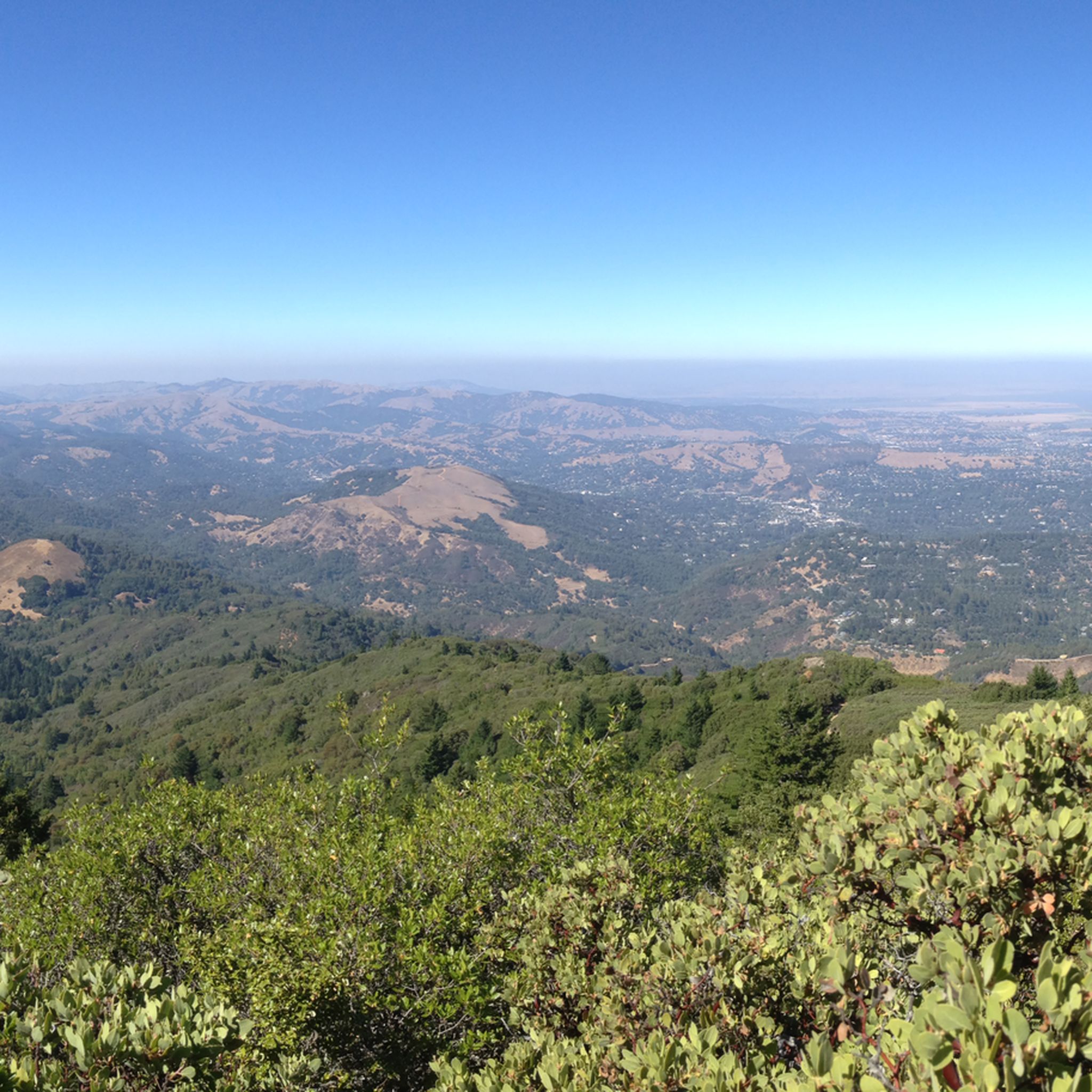
Mountain biking in Mount Tamalpais State Park offers diverse terrain, from fire roads to designated multi-use trails, just north of San Francisco. The park features a mosaic of cool redwood forests, oak woodlands, open grasslands, and chaparral, carved by deep canyons and rolling hills. East Peak, rising to 2,571 feet, provides significant elevation gains and panoramic views of the San Francisco Bay Area and the Pacific Ocean. This environment supports cross-country routes for various difficulty levels.
Best mountain bike trails in Mount Tamalpais State Park
- The most popular mountain bike trail is Old Railroad Grade and Gravity Car Loop, an 8.1 miles (13.0 km) trail that takes 1 hour 14 minutes to complete. This moderate route follows the historic Old Railroad Grade, offering a path to the East Peak.
- Another top favourite among local mountain bikers is Old Mine Trail (lower) 🌲 – Coast View Trail loop from Muir Woods National Monument, a moderate 15.8 miles (25.4 km) path. This route features significant elevation gain through varied terrain.
- Local mountain bikers also love the Muir Beach ⛱️ – Dias Ridge Trail loop from Muir Beach, an 8.3 miles (13.4 km) trail leading through coastal landscapes and redwood forests, often completed in about 1 hour 28 minutes.
- Mountain biking in Mount Tamalpais State Park is defined by redwood forests, oak woodlands, and coastal paths. The network offers options for different ability levels, from moderate rides to more challenging ascents.
- The routes in Mount Tamalpais State Park are highly rated by the komoot community with an average score of 4.7 stars from over 210 reviews. More than 2300 mountain bikers have used komoot to explore Mount Tamalpais State Park's varied terrain.
Last updated: August 30, 2026
5.0
(1)
5
riders
13.0km
01:14
320m
320m
Moderate mountain bike ride. Good fitness required. Suitable for all skill levels.
5.0
(1)
37
riders
Moderate mountain bike ride. Good fitness required. Suitable for all skill levels.

Sign up for free
15
riders
28.5km
03:03
840m
840m
Moderate mountain bike ride. Good fitness required. Suitable for all skill levels.
4
riders
110km
10:48
2,830m
2,830m
Hard mountain bike ride. Very good fitness required. Suitable for all skill levels.
7
riders
53.6km
04:46
1,230m
1,230m
Hard mountain bike ride. Very good fitness required. Suitable for all skill levels.
Get access to more routes and recommendations from other explorers.
Sign up for free
Already have an account?
Our route recommendations are based on thousands of hikes, rides, and runs completed by other people on komoot.
Start today with a free account
Your next adventure awaits.
Login or Signup
Popular around Mount Tamalpais State Park

Chasing flow in the Bay Area

Bay Area Ridge Trail — Circumnavigating the San Francisco Bay

Bay Area Ridge Trail — Hiking the backbone of The Bay
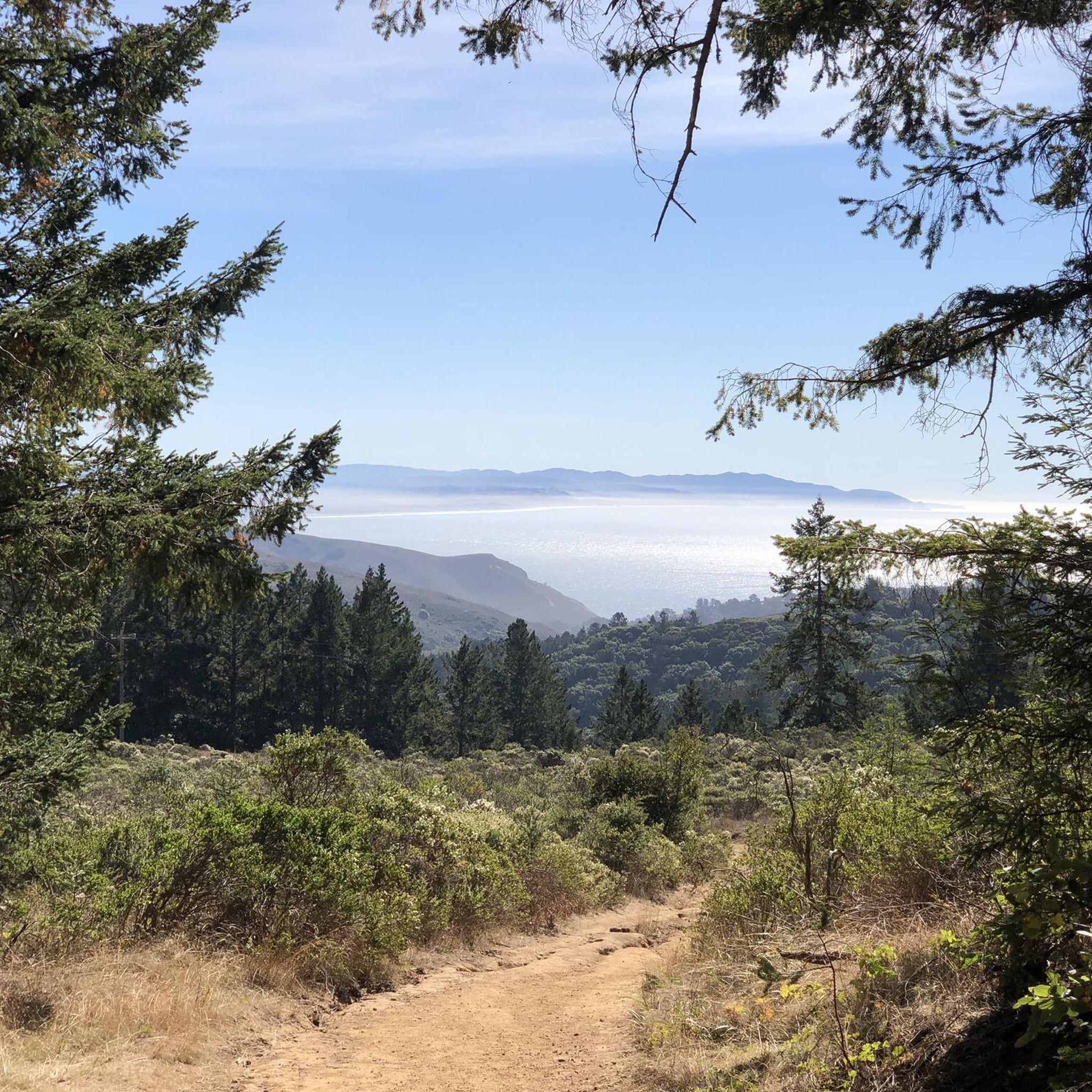
Hiking in Mount Tamalpais State Park
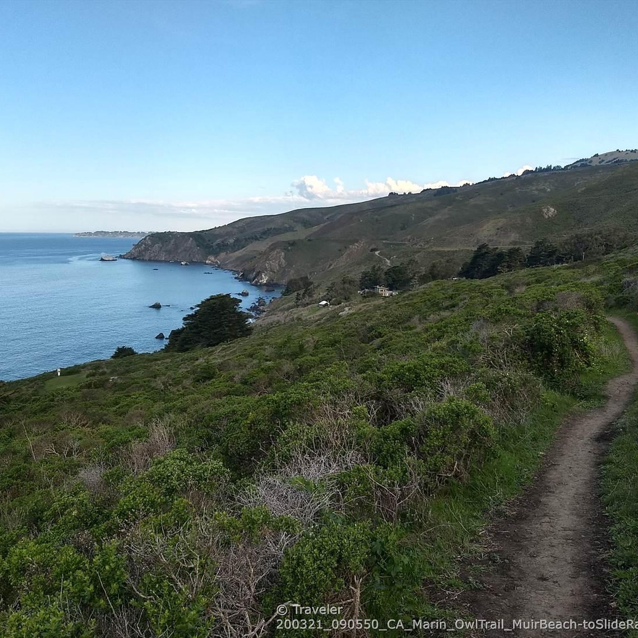
Running Trails in Mount Tamalpais State Park
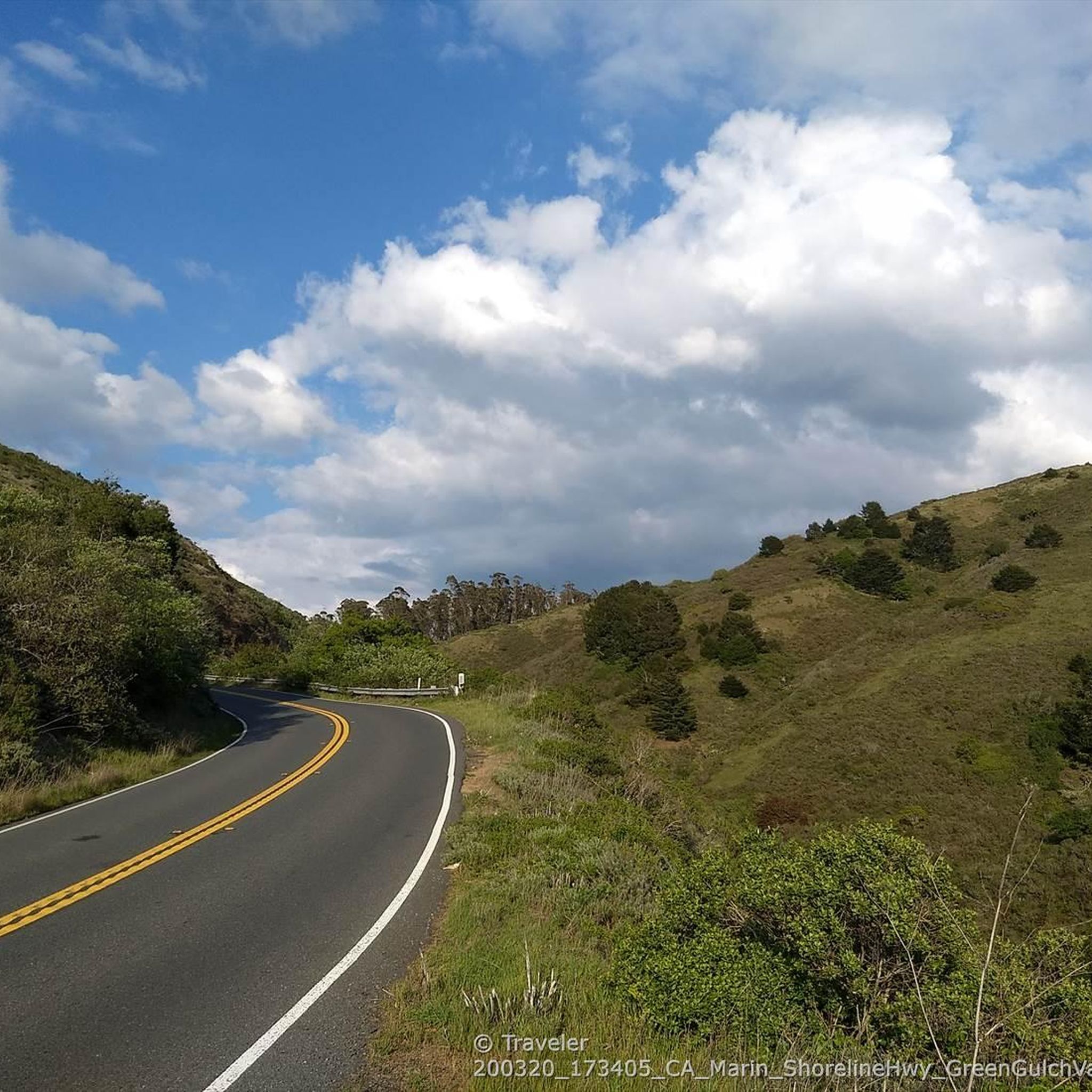
Road Cycling Routes in Mount Tamalpais State Park
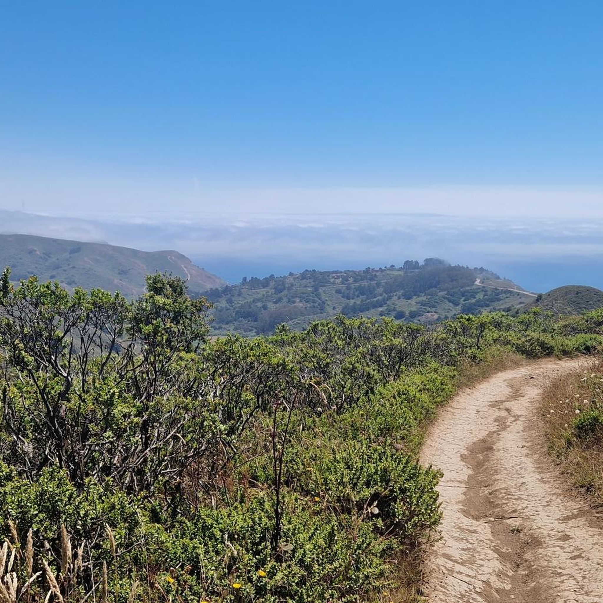
Cycling in Mount Tamalpais State Park
Gravel biking in Mount Tamalpais State Park


Tips from the Community


The eponymous name of this hill mostly refers to the climb to this point from the beach about 1300 feet (400 meters) up. Deer Park Fire Road is actually reasonably gradual, following the ridgeline. Still, it is a good place for a rest, take in the views to the Pacific, and refill the water bottles at the water fountain, and read info panels about the recent history.
0
0
Geodesic point at the top of Coyote Ridge, with panoramic views across the Marin Headlands, with low brush offering views down toward the coast
0
0


Beautiful, quiet bay. With great surroundings. Not too crowded.
0
0


Pantoll Road is a beautiful, mostly paved route through Mount Tamalpais State Park, connecting the Panoramic Highway to Ridgecrest Boulevard. It winds closely along the curves of the hillside, with some shade from the trees in some spots. There are fantastic views along the way of San Francisco and the Marin Headlands, with incredible viewpoints over the Pacific coastline.
0
0

There is a great view of the northern point of Alpine lake where a small channel feeds over to Bon Tempe Lake. This is a great place to drop a line, or just enjoy the aquatic views.
0
0
Frequently Asked Questions
How many mountain bike trails are available in Mount Tamalpais State Park?
Mount Tamalpais State Park offers over 100 mountain bike routes. These include a mix of easy, moderate, and challenging trails, primarily utilizing fire roads and designated single-track paths.
What kind of terrain can I expect when mountain biking in Mount Tamalpais State Park?
The park features diverse terrain, from smooth fire roads to more technical single-track trails. You'll encounter redwood forests, oak woodlands, open grasslands, and coastal paths, with significant elevation gains and descents that develop both fitness and skills. Trails like the Coast View Trail and Dias Ridge Trail offer varied riding experiences.
Are there any family-friendly mountain bike trails in Mount Tamalpais State Park?
While many trails involve significant elevation, there are 15 routes classified as easy, which may be suitable for families or beginners. These trails typically follow wider fire roads, offering a less technical ride. Always check the specific trail details for suitability before heading out.
What are some scenic viewpoints or points of interest along the mountain bike trails?
Mount Tamalpais State Park is renowned for its panoramic views. You can expect breathtaking vistas of the San Francisco Bay Area, the Pacific Ocean, and on clear days, even the distant Sierra Nevada mountains. Notable points of interest include the Mount Tamalpais Summits, which offer 360-degree views, and Pantoll Road, known for its scenic overlooks. The West Point Inn loop is particularly known for its sweeping views.
What is the best time of year for mountain biking in Mount Tamalpais State Park?
The park is enjoyable year-round, but conditions vary. The rainy months bring vibrant seasonal waterfalls and lush greenery, while clear days offer expansive views. Always check local weather forecasts and trail conditions before your ride, as some trails may be affected by rain.
Are there any loop mountain bike trails in Mount Tamalpais State Park?
Yes, many of the mountain bike routes in Mount Tamalpais State Park are designed as loops. Popular options include the Gravity Car Fire Rd Trail – Hoo-Koo-E-Koo Fire Road Trail loop and the Muir Beach ⛱️ – Dias Ridge Trail loop, which offer diverse scenery and return you to your starting point.
What do other mountain bikers say about the trails in Mount Tamalpais State Park?
The mountain biking routes in Mount Tamalpais State Park are highly rated by the komoot community, with an average score of 4.7 stars from over 230 reviews. Riders frequently praise the diverse terrain, from redwood forests to coastal views, and the challenging yet rewarding ascents.
Are dogs allowed on mountain bike trails in Mount Tamalpais State Park?
Regulations regarding dogs in state parks can vary. While some areas may permit dogs on leash, it's best to check the official Mount Tamalpais State Park website for the most current rules and designated dog-friendly areas before planning your ride. You can find more information on the California State Parks website.
Where can I find parking for mountain biking in Mount Tamalpais State Park?
Mount Tamalpais State Park has several designated parking areas, including those near trailheads and popular access points like Pantoll and Bootjack. Parking availability can vary, especially on weekends, so it's advisable to arrive early. Some parking areas may require a fee.
Are there any trails that lead through redwood forests?
Yes, Mount Tamalpais State Park, along with the adjacent Muir Woods National Monument, is home to impressive coast redwood trees. Trails like the Old Mine Trail (lower) 🌲 – Coast View Trail loop offer sections that wind through these majestic redwood forests, providing a cool and shaded riding experience.
What is the difficulty level of mountain biking in Mount Tamalpais State Park?
The park offers a range of difficulty levels. There are 15 easy routes, 65 moderate routes, and 26 difficult routes. Many trails involve significant elevation changes, making them suitable for cross-country riders looking to build fitness and skills. Always check the specific route's difficulty rating before you go.
Can I reach Mount Tamalpais State Park by public transport for mountain biking?
While public transport options to the immediate trailheads might be limited, some regional transit services may connect to areas near the park. For detailed information on public transport routes and schedules that serve Mount Tamalpais State Park, it is recommended to consult local transit authority websites or the California State Parks website for visitor information.
Most popular routes in Mount Tamalpais State Park
Most popular attractions in Mount Tamalpais State Park

Get inspired with the komoot mobile app


Explore more
Browse the best MTB trails in other regions.
