The best city hikes and walks in Bayerische Hohe Rhön
4.6
(11233)
40,023
hikers
3
hikes
Urban hiking trails in Bayerische Hohe Rhön traverse a landscape shaped by volcanic origins, featuring rounded peaks, high plateaus, and basalt formations. This UNESCO Biosphere Reserve is known for its "Land der offenen Fernen," offering expansive views even within its towns and villages. The region's diverse flora and fauna, including rare plant species, can be observed along paths that often follow historical routes or connect urban green spaces. These trails provide access to both natural beauty and cultural sites within…
Last updated: July 9, 2026
6
hikers
2.51km
00:42
40m
40m
Easy hike. Great for any fitness level. Easily-accessible paths. Suitable for all skill levels.
5
hikers
2.85km
00:45
20m
20m
Easy hike. Great for any fitness level. Easily-accessible paths. Suitable for all skill levels.

Sign up for free
4.6
(5)
19
hikers
Easy hike. Great for any fitness level. Easily-accessible paths. Suitable for all skill levels.
Our route recommendations are based on thousands of hikes, rides, and runs completed by other people on komoot.
Start today with a free account
Your next adventure awaits.
Login or Signup
Popular around Bayerische Hohe Rhön

Extra tours South - Excellent premium hiking trails of the Rhön

Discover Rhön - Half-day tours through the biosphere reserve

Naturlehrpfade – Natur und Wissen

Discover the Green Belt in the Rhön with BUND

Hiking in the Rhön Mountains where nature and history combine
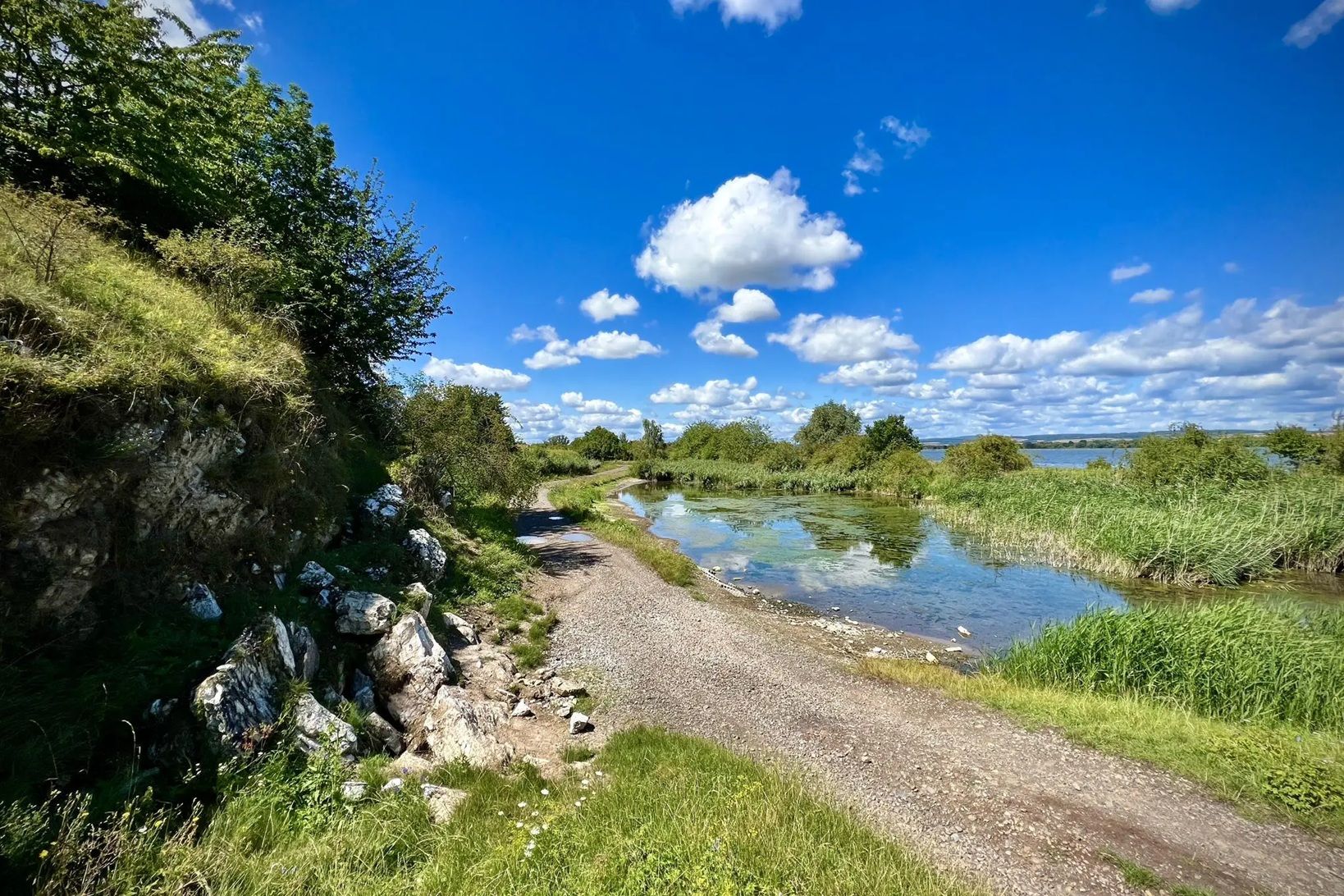
Die Nationalen Naturlandschaften in Thüringen

Rundwanderwege um Oberelsbach
Other adventures in Bayerische Hohe Rhön


Tips from the Community

The old elementary school was built with Marshall Plan funds in the early 1950s. Today, it houses a special needs school. The name derives from the then district administrator and former mayor of Ostheim vor der Rhön, Dr. Alfred Hauser.
0
0

Very beautiful pond, especially when the water lilies are in bloom.
1
0
In the morning, the silence at the Streu in the still sleeping town of Ostheim vor der Rhön is a reward for the short walk. Here, your head is cleared for an active and beautiful day.
1
0

There is much more nature to discover here than you might initially think. The diversity of bird species is particularly high in the right season.
1
0
A historic bridge worth seeing.
1
0
Frequently Asked Questions
How many urban hiking trails are available in Bayerische Hohe Rhön?
Currently, there are a few dedicated urban hiking trails in Bayerische Hohe Rhön, all categorized as easy. These routes are perfect for exploring the towns and their immediate surroundings.
What kind of terrain can I expect on urban hikes in Bayerische Hohe Rhön?
Urban hikes in Bayerische Hohe Rhön typically feature gentle, well-maintained paths suitable for all skill levels. You'll often find yourself on paved or gravel paths, exploring town centers, parks, and riverside areas, with minimal elevation changes.
Are there any family-friendly urban hikes in Bayerische Hohe Rhön?
Yes, all the urban hiking trails in Bayerische Hohe Rhön are considered easy and are suitable for families. They offer short distances and gentle terrain, making them perfect for a leisurely outing with children. For example, the Castle Park – Chestnut Avenue loop from Gersfeld (Rhön) is a great option.
Can I bring my dog on urban hiking trails in Bayerische Hohe Rhön?
Most urban trails in Bayerische Hohe Rhön are dog-friendly, provided your dog is kept on a leash. Always be mindful of local regulations and other pedestrians, especially in town centers and parks. The Lottenmühle loop from Hohe Rhön is a pleasant walk that can be enjoyed with your canine companion.
What are some interesting landmarks or attractions I can see along urban hikes?
Urban hikes often lead you through charming towns and past local points of interest. While the region is known for its natural beauty, you might encounter historical buildings, local parks, or even small waterfalls. For instance, the Gate Bridge, Ostheim vor der Rhön – Kneipp Basin Ostheim loop from Ostheim vor der Rhön takes you through Ostheim, where you can experience the town's character. For natural highlights nearby, consider visiting the Eisgraben Waterfall or the Schwarzes Moor Nature Trail.
Are there circular urban hiking routes available?
Yes, all the urban hiking routes listed in this guide are circular, allowing you to start and end your journey in the same location. This makes planning your walk convenient and straightforward.
What is the best time of year for urban hiking in Bayerische Hohe Rhön?
Urban hiking in Bayerische Hohe Rhön is enjoyable year-round. Spring brings blooming flowers, summer offers pleasant temperatures for strolls, autumn showcases vibrant foliage, and even winter can be charming with crisp air and potential snow. The region's low light pollution also makes it an International Dark Sky Park, offering exceptional stargazing opportunities on clear nights.
How accessible are urban hiking trails by public transport?
Many towns in Bayerische Hohe Rhön are connected by local bus services, making some urban trails accessible via public transport. It's advisable to check local bus schedules for the specific town you plan to visit to confirm connections to trailheads.
Is parking available near urban hiking trailheads?
Parking is generally available in or near the towns where urban hikes begin. Look for designated public parking areas within the town centers or near popular attractions. Specific parking information for each route can often be found on the individual tour pages.
What do other hikers enjoy most about urban hiking in Bayerische Hohe Rhön?
The komoot community highly rates the hiking experiences in Bayerische Hohe Rhön, with an average score of 4.65 stars from over 10,000 ratings. Reviewers often praise the region's unique volcanic landscapes, the expansive 'Land der offenen Fernen' views, and the well-maintained trails that allow for easy exploration of its charming towns and natural beauty.
Are there cafes or restaurants along urban hiking routes?
Yes, urban hikes in Bayerische Hohe Rhön often pass through or near town centers, where you'll find various cafes, bakeries, and restaurants. This provides convenient opportunities for refreshments or a meal during or after your walk. The region is also known for its local breweries, such as the one at Kloster Kreuzberg.
Most popular routes in Bayerische Hohe Rhön
Most popular attractions in Bayerische Hohe Rhön

Get inspired with the komoot mobile app


Explore more
Browse the best Hikes in other regions.
