The best mountain hikes in Bayerische Hohe Rhön
5.0
(5)
22
hikers
8
hikes
Mountaineering routes in Bayerische Hohe Rhön traverse a landscape characterized by rolling hills, dense forests, and open plateaus. The region, part of the Rhön Mountains, features elevations that offer expansive views without extreme alpine conditions. These routes often lead through varied terrain, including wooded sections and open meadows, providing a diverse experience for mountaineers. The area is known for its distinctive basalt formations and rich biodiversity, shaped by its volcanic origins.
Best mountaineering routes in Bayerische Hohe Rhön
- The most…
Last updated: July 2, 2026
3
hikers
7.31km
02:05
170m
170m
Moderate mountaineering route. Good fitness required. Easily-accessible paths. Suitable for all skill levels.
2
hikers
Moderate mountaineering route. Good fitness required. Easily-accessible paths. Suitable for all skill levels.

Sign up for free
5.0
(2)
6
hikers
13.6km
04:12
490m
490m
Moderate mountaineering route. Good fitness required. Easily-accessible paths. Suitable for all skill levels.
5.0
(3)
7
hikers
7.75km
02:27
290m
290m
Moderate mountaineering route. Good fitness required. Mostly accessible paths. Sure-footedness required.
5.0
(1)
3
hikers
4.18km
01:23
190m
190m
Moderate mountaineering route. Great for any fitness level. Mostly accessible paths. Sure-footedness required.
Get access to more routes and recommendations from other explorers.
Sign up for free
Already have an account?
Our route recommendations are based on thousands of hikes, rides, and runs completed by other people on komoot.
Start today with a free account
Your next adventure awaits.
Login or Signup
Popular around Bayerische Hohe Rhön

Extra tours South - Excellent premium hiking trails of the Rhön

Discover Rhön - Half-day tours through the biosphere reserve

Naturlehrpfade – Natur und Wissen

Discover the Green Belt in the Rhön with BUND

Hiking in the Rhön Mountains where nature and history combine
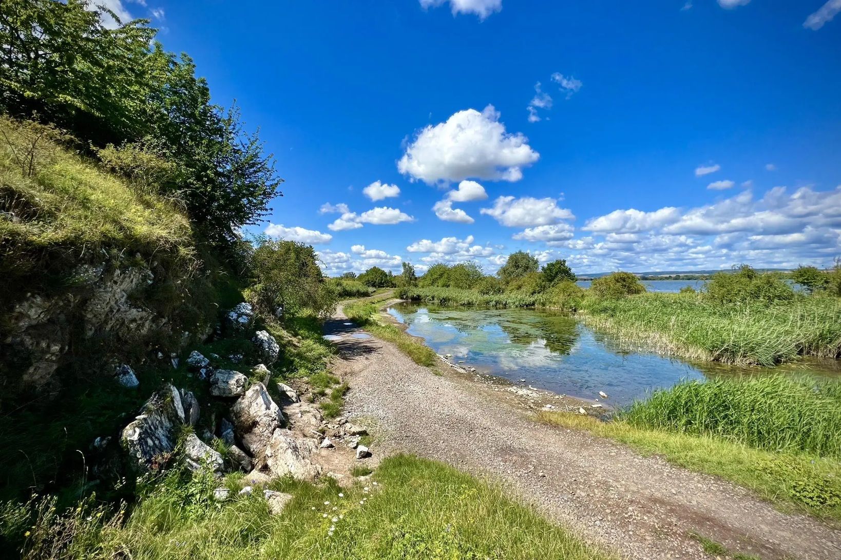
Die Nationalen Naturlandschaften in Thüringen

Rundwanderwege um Oberelsbach
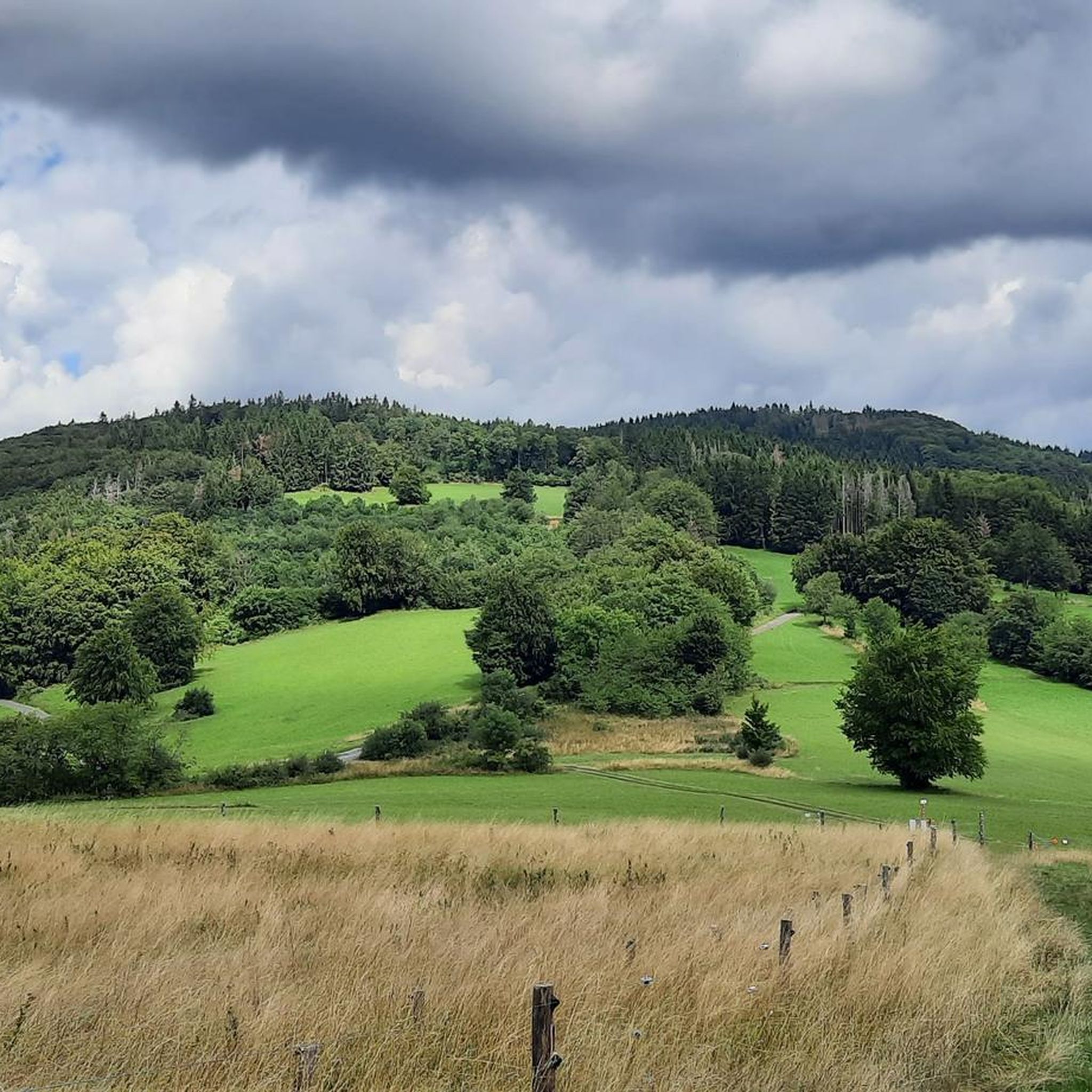
Hiking in Bayerische Hohe Rhön
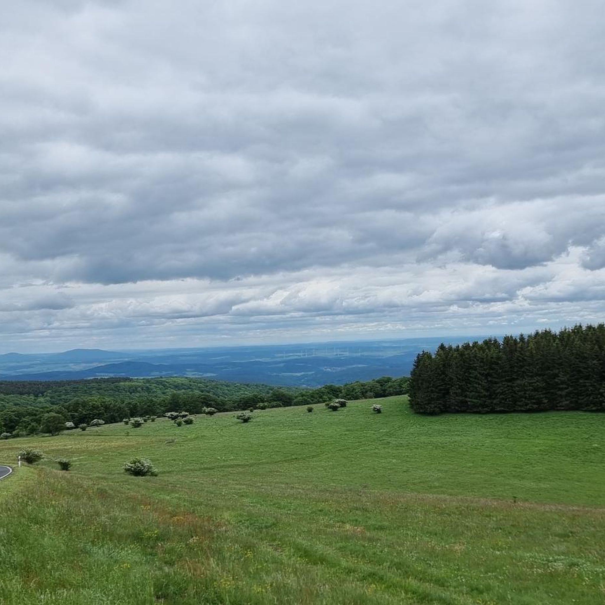
Road Cycling Routes in Bayerische Hohe Rhön
Cycling in Bayerische Hohe Rhön
Other adventures in Bayerische Hohe Rhön


Tips from the Community


One of the last raised bogs in Hesse. Peat mining was stopped here in 1986… Today, renaturation is the magic word
13
0

You can stop by
3
0

Really nice and quiet in the morning. From 12pm onwards it is often very busy.
1
1

After the climb you have a fantastic view.
1
0

This small fountain is located on the way down from Kreuzberg to Neustädter Haus.
0
0

Nice view and a good place to take a break.
1
0
Frequently Asked Questions
What kind of terrain can I expect on mountaineering routes in Bayerische Hohe Rhön?
The Bayerische Hohe Rhön offers a diverse landscape characterized by rolling hills, dense forests, and open plateaus. You'll encounter varied terrain, including wooded sections and open meadows, often featuring distinctive basalt formations. The routes provide expansive views without the extreme alpine conditions found in higher mountain ranges.
Are there any easy or difficult mountaineering routes in this region?
According to our current guide, all mountaineering routes in Bayerische Hohe Rhön are rated as moderate. There are no easy or difficult routes listed, making the area well-suited for those with a reasonable level of fitness looking for a balanced challenge.
What are some of the most popular mountaineering routes in Bayerische Hohe Rhön?
One of the most popular routes is the Cascade Gorge – View of the Wasserkuppe loop from Rotes Moor, a 7.3 km trail offering views towards the Wasserkuppe. Another highly favored option is the View from the summit of Kreuzberg – Kreuzberg Monastery loop from Bischofsheim in der Rhön, which ascends to the Kreuzberg summit.
Are there any circular mountaineering routes available?
Yes, many of the mountaineering routes in Bayerische Hohe Rhön are designed as circular loops. For instance, the popular Cascade Gorge – View of the Wasserkuppe loop from Rotes Moor and the View from the summit of Kreuzberg – Kreuzberg Monastery loop from Bischofsheim in der Rhön are both circular tours, allowing you to start and end at the same point.
What interesting natural sights can I see along the mountaineering routes?
The region is rich in natural beauty. You can explore highlights such as the Schwarzes Moor Nature Trail, visit the Himmeldunkberg summit, or discover the Eisgraben Waterfall. These natural monuments add unique points of interest to your mountaineering experience.
Are there any huts or places to stop for refreshments on the trails?
Yes, there are several huts and places to stop. You might find the Gemündener Hut or the Würzburger Karl-Straub-Haus along some routes. The Jagdschloss Holzberghof also offers a place for refreshments.
What do other mountaineers say about the routes in Bayerische Hohe Rhön?
The mountaineering routes in Bayerische Hohe Rhön are highly regarded by the komoot community, boasting an average rating of 5.0 stars from 5 reviews. Users often praise the well-maintained paths, the diverse scenery, and the rewarding panoramic views from summits like Kreuzberg.
Are there any longer mountaineering routes for those seeking a greater challenge?
While all routes are moderate, some offer a longer distance. For example, the View from the summit of Kreuzberg – Kreuzberg Monastery loop from Bischofsheim in der Rhön covers 15.0 km and typically takes around 4 hours 35 minutes, providing a more extended experience through forested slopes and open areas.
Can I find routes that pass by historical or cultural landmarks?
Absolutely. The View from the summit of Kreuzberg – Kreuzberg Monastery loop from Bischofsheim in der Rhön takes you to the historic Kreuzberg Monastery. Another route, the Osterburg castle ruins – Kreuzberg Monastery loop from Bischofsheim in der Rhön, allows you to explore the Osterburg castle ruins.
What is the typical duration for mountaineering routes in this area?
The duration of routes varies depending on their length and elevation gain. For instance, shorter routes like the Cascade Gorge – View of the Wasserkuppe loop from Rotes Moor can be completed in about 2 hours, while longer ones such as the Marienbrünnlein – Kreuzberg Summit loop from Unterweißenbrunn might take over 4 hours.
What are the highest points or best viewpoints accessible on these routes?
Many routes offer excellent viewpoints. The Himmeldunkberg summit and Heidelstein summit are notable high points. The View from Bergwachthütte also provides expansive vistas across the Rhön landscape.
Most popular routes in Bayerische Hohe Rhön
Most popular attractions in Bayerische Hohe Rhön

Get inspired with the komoot mobile app


Explore more
Browse the best Mountain Hikes & Routes in other regions.
