The best running trails in Bayerische Hohe Rhön
4.7
(63)
798
runners
69
runs
Jogging routes in Bayerische Hohe Rhön traverse a landscape characterized by wide, open vistas and rolling hills, part of the UNESCO Biosphere Reserve Rhön. The region's volcanic origins have shaped unique basalt formations and diverse ecosystems, including flat moors and extensive pastures. An extensive network of trails, including premium hiking paths suitable for running, connects these natural features. This area offers varied terrain for runners, from gentle paths to more challenging ascents.
Best jogging routes in Bayerische Hohe Rhön
- The…
Last updated: July 2, 2026
4.7
(6)
71
runners
11.8km
01:23
180m
180m
Moderate run. Good fitness required. Mostly paved surfaces. Suitable for all skill levels.
4.5
(4)
50
runners
6.38km
00:49
190m
190m
Moderate run. Good fitness required. Mostly paved surfaces. Suitable for all skill levels.

Sign up for free
4.3
(3)
30
runners
Moderate run. Good fitness required. Mostly paved surfaces. Suitable for all skill levels.
4.0
(1)
29
runners
Moderate run. Good fitness required. Mostly paved surfaces. Suitable for all skill levels.
4.8
(6)
76
runners
Hard run. Very good fitness required. Mostly paved surfaces. Suitable for all skill levels.
Get access to more routes and recommendations from other explorers.
Sign up for free
Already have an account?
Our route recommendations are based on thousands of hikes, rides, and runs completed by other people on komoot.
Start today with a free account
Your next adventure awaits.
Login or Signup
Popular around Bayerische Hohe Rhön

Extra tours South - Excellent premium hiking trails of the Rhön

Discover Rhön - Half-day tours through the biosphere reserve

Naturlehrpfade – Natur und Wissen

Discover the Green Belt in the Rhön with BUND

Hiking in the Rhön Mountains where nature and history combine
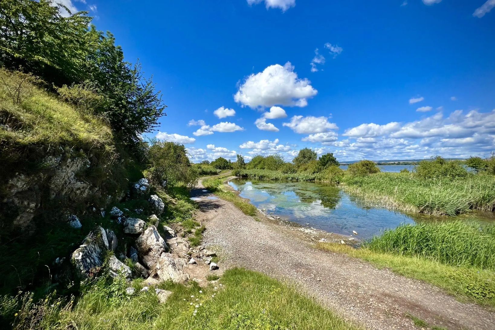
Die Nationalen Naturlandschaften in Thüringen

Rundwanderwege um Oberelsbach
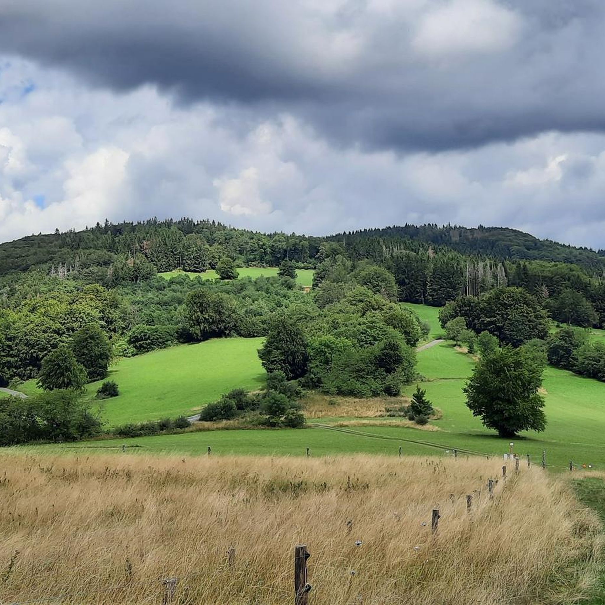
Hiking in Bayerische Hohe Rhön
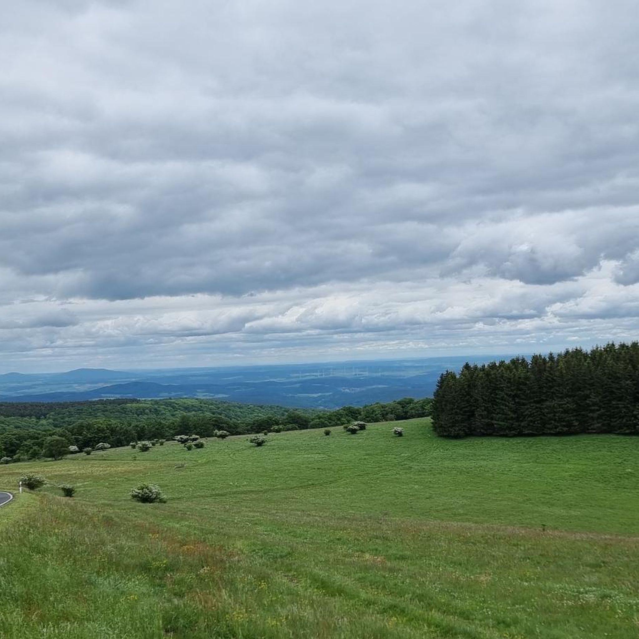
Road Cycling Routes in Bayerische Hohe Rhön
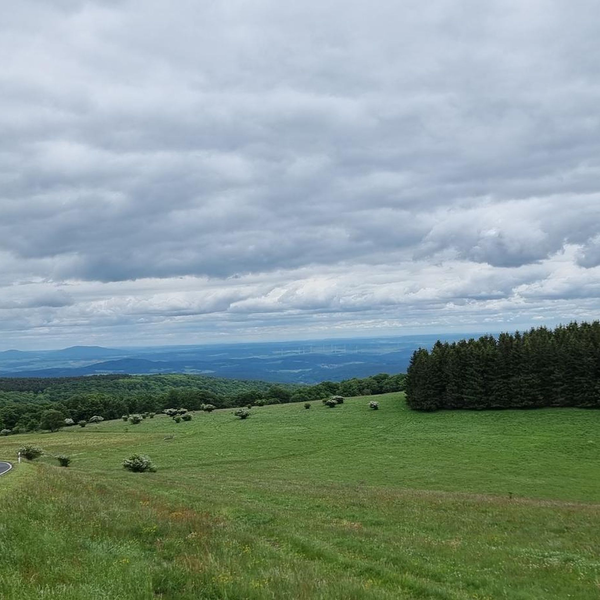
Cycling in Bayerische Hohe Rhön
Other adventures in Bayerische Hohe Rhön


Tips from the Community

Campsite just out in the landscape
0
0

The parking lot is always a good starting point for a walk - whether to the Heidenstein or to the Schornberg
0
0

Really rustic forest, the trees have the most interesting shapes and are covered with moss and lichen
0
0

Observation tower accessible even in winter, allowing you to enjoy the view of the former peat mining area
13
0
A place of silence and reflection…
13
0
Here, on the fourth highest mountain in the Rhön, the Hessian-Bavarian border runs... from here, if the weather is good, you can see the Lange Rhön. At the summit, there is a German Telekom transmission tower that can be seen from far away.
12
0

Good restaurant with a view.
4
0

Frequently Asked Questions
How many running routes are available in Bayerische Hohe Rhön, and what are their difficulty levels?
Bayerische Hohe Rhön offers a wide selection of running routes, with over 70 trails to choose from. These include 4 easy routes, 40 moderate routes, and 27 difficult routes, catering to various fitness levels and preferences.
Are there many circular running routes in Bayerische Hohe Rhön?
Yes, the Bayerische Hohe Rhön is well-suited for circular running routes, allowing you to start and finish at the same point. Many trails, such as the Golden Spring – Ulster Spring loop from Kesselrain, are designed as loops, offering diverse scenery without retracing your steps.
Where can I find more challenging running routes in the Bayerische Hohe Rhön?
For those seeking a challenge, the Bayerische Hohe Rhön has 27 difficult running routes. An example is the Rhönklub Memorial Site – View of the Lange Rhön loop from Kesselrain, which covers 17.3 km with significant elevation gain, leading through open distances and offering expansive views.
Are there easy running trails suitable for beginners in Bayerische Hohe Rhön?
Absolutely. The region features 4 easy running routes, perfect for beginners or those looking for a more relaxed jog. These trails typically have less elevation gain and cover shorter distances, allowing you to enjoy the beautiful Rhön landscape at a comfortable pace.
What scenic viewpoints or natural landmarks can I expect to see along the running trails?
The Bayerische Hohe Rhön is rich in natural beauty and offers numerous scenic viewpoints and landmarks. You can encounter unique basalt formations, expansive 'Land der Offenen Fernen' vistas, and significant natural sites like the Schwarzes Moor Nature Trail. Other notable spots include the Himmeldunkberg summit with its panoramic views, and the Eisgraben Waterfall.
Are there any running routes that pass by the Schwarzes Moor?
Yes, the unique Schwarzes Moor, one of Central Europe's most significant raised bogs, is accessible via running trails. The Women's Cave (Klefallsloch) – Schwarzes Moor Parking Lot loop from Hillenberg is a moderate 14.5 km path that guides runners past this fascinating ecosystem.
What do other runners enjoy most about jogging in Bayerische Hohe Rhön?
The running routes in Bayerische Hohe Rhön are highly rated by the komoot community, with an average score of 4.7 stars from over 65 reviews. Runners frequently praise the region's wide, open vistas, diverse terrain, and the well-maintained network of trails that offer both challenging ascents and gentler paths.
Are there any running routes that offer views of the Wasserkuppe?
Yes, you can find routes that provide stunning views of the Wasserkuppe, the highest mountain in the Rhön. The View of the Wasserkuppe – Häuser Moor Nature Reserve loop from Höllwald bei Rodenbach is a moderate 12.5 km route that offers picturesque glimpses of this iconic peak.
Can I find running routes that pass by huts or places to stop for refreshments?
Yes, some running routes in Bayerische Hohe Rhön pass by traditional huts or establishments where you can take a break. For instance, the Moor lake in the Red Moor – Jagdschloss Holzberghof loop from Höllwald bei Rodenbach includes the Jagdschloss Holzberghof, which is a restaurant, offering a chance to refuel during your run.
What is the best time of year for running in Bayerische Hohe Rhön?
The Bayerische Hohe Rhön is beautiful year-round, but spring and autumn often offer the most pleasant conditions for running. In spring, you'll see vibrant greenery and blooming meadows, while autumn brings stunning foliage. Summer is also great, especially in the mornings or evenings, to avoid the midday heat. Winter running is possible, but some trails might be covered in snow or ice, requiring appropriate gear.
Are there long-distance running trails available in the Hohe Rhön?
Yes, the Hohe Rhön offers several longer running trails for those looking to cover more distance. Many routes extend beyond 15 km, providing ample opportunity for endurance training or longer scenic runs through the expansive 'open distances' and varied landscapes of the region.
Most popular routes in Bayerische Hohe Rhön
Most popular attractions in Bayerische Hohe Rhön

Get inspired with the komoot mobile app


Explore more
Browse the best Running Trails & Routes in other regions.
