Wiesent-Tal Mit Seitentälern
Wiesent-Tal Mit Seitentälern
The best traffic-free bike rides in Wiesent-Tal Mit Seitentälern
4.6
(1261)
6,749
riders
110
rides
No traffic touring cycling routes in Wiesent-Tal Mit Seitentälern traverse a diverse landscape within Franconian Switzerland. The region is characterized by the gentle Wiesent river valley, which offers flat cycling paths, contrasting with surrounding hilly terrain featuring significant elevation changes. Extensive forested areas and distinctive rock formations are common features throughout the area. This combination provides varied cycling experiences, from riverside routes to more challenging climbs.
Best no traffic touring cycling routes in Wiesent-Tal Mit Seitentälern
- The most popular no traffic touring cycling route is Senftenberg Viewpoint – Heiliges Brünnlein Spring loop from St. Veit und St. Michael, a 26.3 miles (42.3 km) trail that takes 3 hours 43 minutes to complete. This difficult route features substantial elevation gain through varied terrain.
- Another top favourite among local touring cyclists is Leinleiter Cycle Path – Ebermannstadt Market Square loop from Pretzfeld, a moderate 21.9 miles (35.4 km) path. This route combines riverside cycling with passages through historic towns and market squares.
- Local touring cyclists also love the View of Pottenstein – View of Pottenstein Castle loop from Pottenstein, a 14.7 miles (23.6 km) trail leading through hilly landscapes with views of historic castles, often completed in about 1 hour 41 minutes.
- Touring cycling in Wiesent-Tal Mit Seitentälern is defined by river valleys, extensive forested areas, and distinctive rock groups. The network offers options for different ability levels, from leisurely rides along the Wiesent river to more demanding routes with significant climbs.
- The routes in Wiesent-Tal Mit Seitentälern are highly rated by the komoot community with an average score of 4.6 stars from over 1100 reviews. More than 6500 touring cyclists have used komoot to explore Wiesent-Tal Mit Seitentälern's varied terrain.
Last updated: July 9, 2026
4.4
(25)
95
riders
35.4km
02:38
430m
430m
Moderate bike ride. Good fitness required. Mostly paved surfaces. Suitable for all skill levels.
4.5
(15)
75
riders
22.6km
01:38
370m
370m
Hard bike ride. Good fitness required. You may need to push your bike for some segments of this route.

Sign up for free
4.5
(2)
65
riders
Hard bike ride. Very good fitness required. You may need to push your bike for some segments of this route.
4.4
(5)
56
riders
Hard bike ride. Very good fitness required. You may need to push your bike for some segments of this route.
4.4
(9)
49
riders
16.1km
01:13
120m
120m
Easy bike ride. Great for any fitness level. Mostly paved surfaces. Suitable for all skill levels.
Get access to more routes and recommendations from other explorers.
Sign up for free
Already have an account?
Our route recommendations are based on thousands of hikes, rides, and runs completed by other people on komoot.
Start today with a free account
Your next adventure awaits.
Login or Signup
Popular around Wiesent-Tal Mit Seitentälern
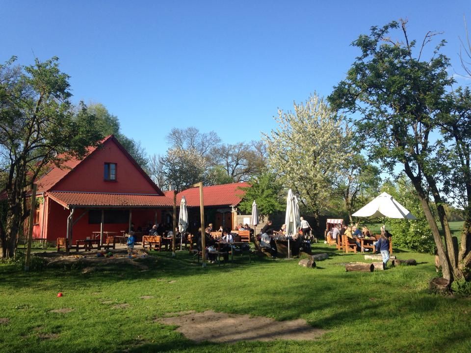
Farmer's shops — escape to the country
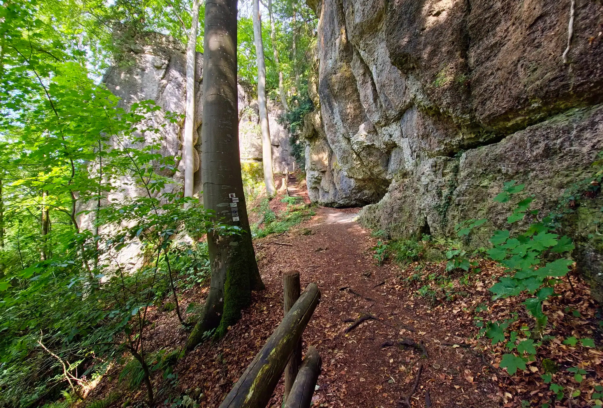
Ultratrail Fränkische Schweiz – 2 Days Burgen, Wälder, Trails
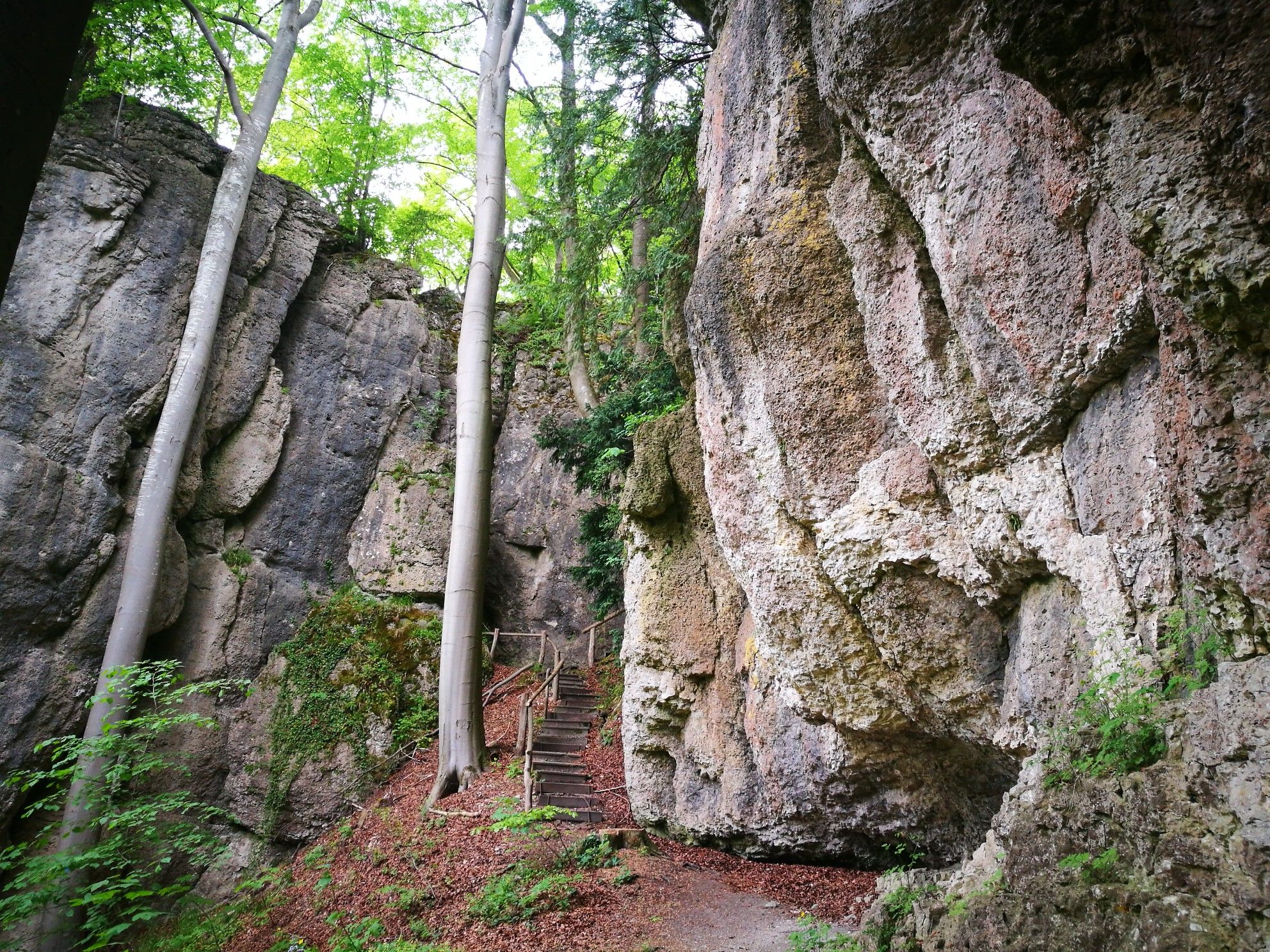
Forests, rocks and castles – 5-day circular through Franconian Switzerland

The National Natural Landscapes in Bavaria
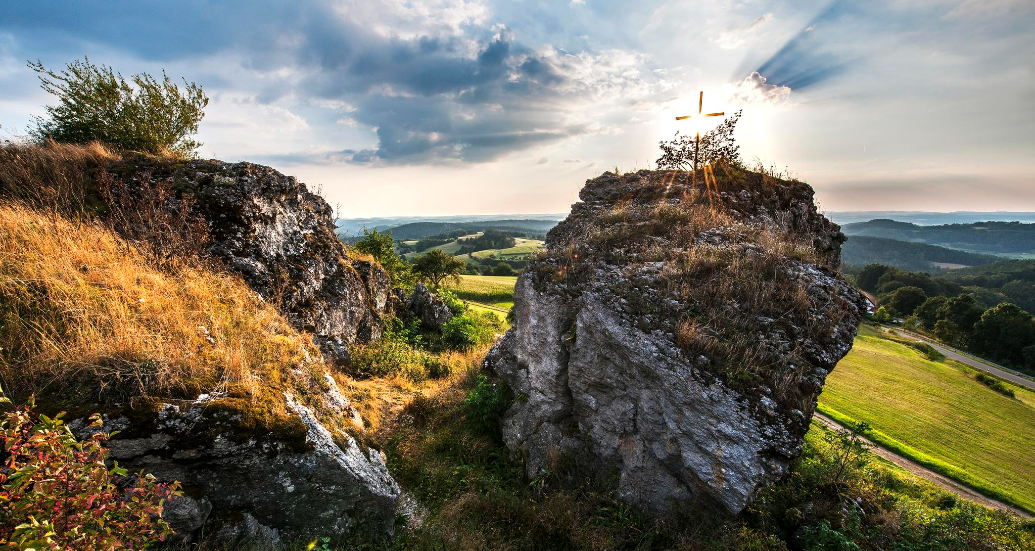
Fun hiking and wonderful views in Franconian Switzerland
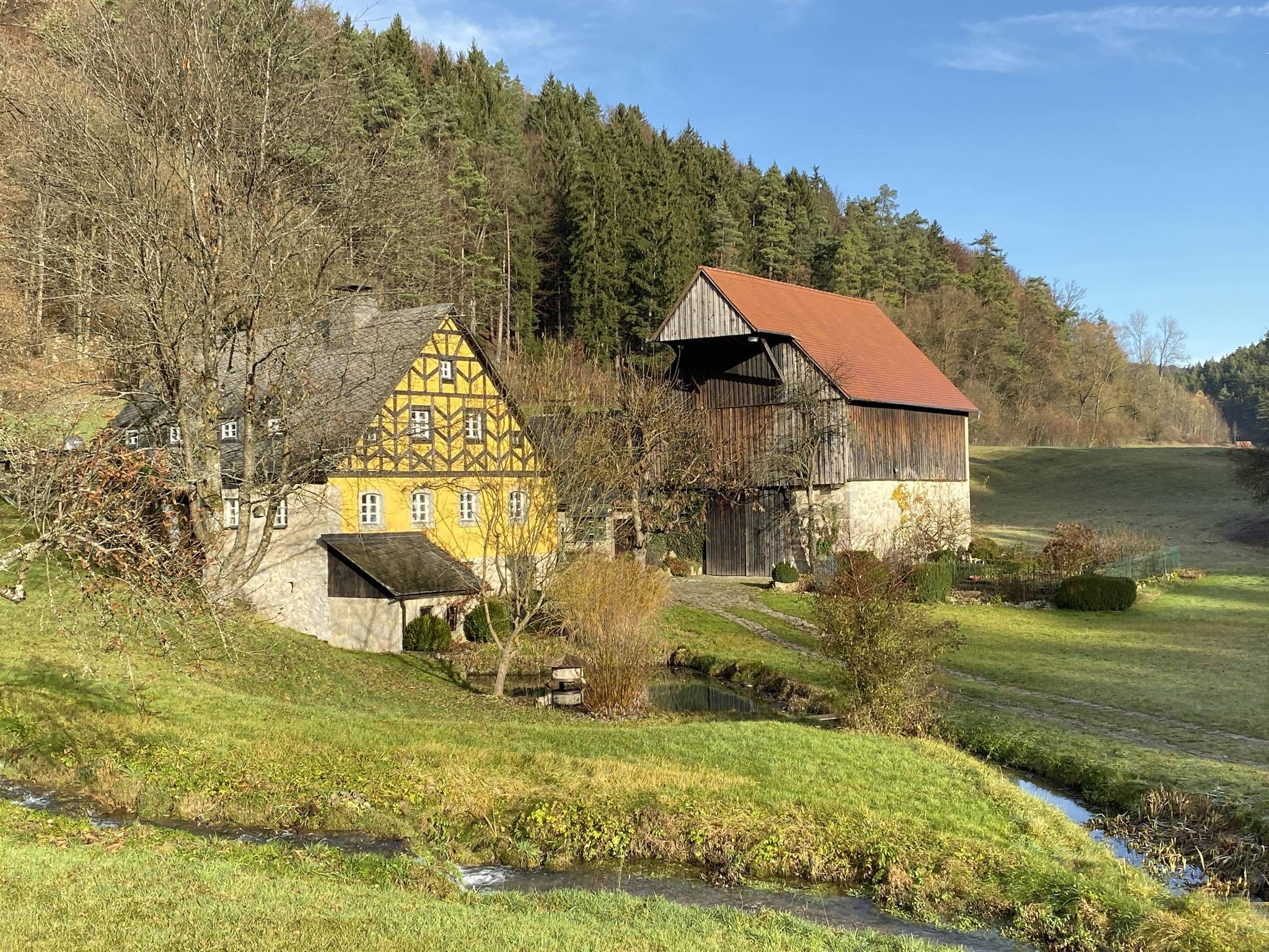
From the view to the Seidla – Nature and BeerEnjoyment in the Franconian Switzerland

The Franconian Trail – A Diverse Hiking Dream Across 24 Stages
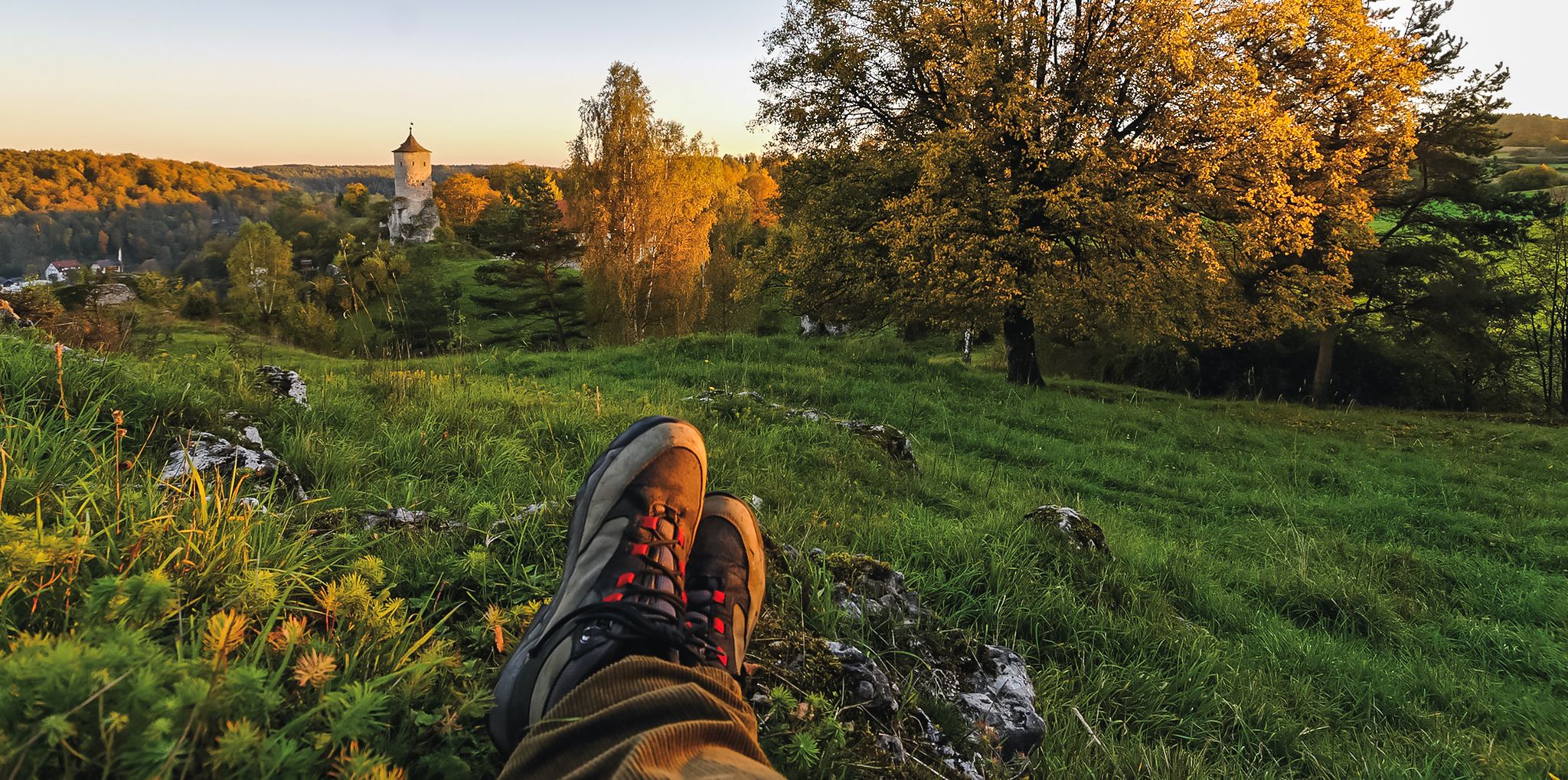
Breweries, hops & beer – Four days hiking in Franconian Switzerland
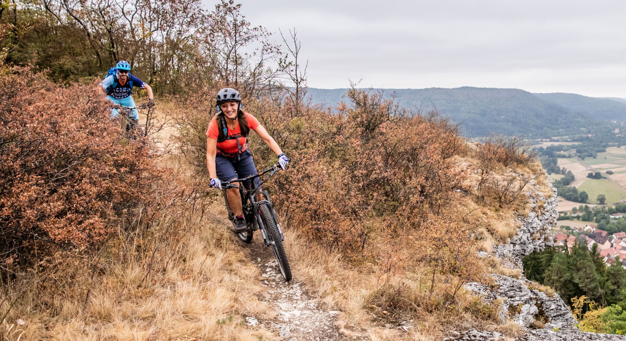
Castles, mountains, beer & trails – bikepacking in Franconian Switzerland

Hike & Beer in Franconia and Upper Palatinate — the VGN leisure tips
Other adventures in Wiesent-Tal Mit Seitentälern


Tips from the Community

Very beautiful old town with a lot of half-timbered houses
0
0

The Schwalbenloch is a striking rock formation and cave in the idyllic Mariental valley near Pottenstein in Franconian Switzerland. It is particularly known for its impressively large portal, but does not penetrate deep into the rock. The cave entrance, with a width of about 12 meters and a height of around 5 meters, is one of the largest in the Franconian Jura. "Big mouth and nothing behind it": Despite the massive entrance, the cave is only very shallow. The floor meets the ceiling after a short distance, making deeper penetration impossible. A narrow, partly steep path leads from the valley trail up to the cave. However, this path is closed due to nature conservation. Corresponding signs are posted directly on the path and should, of course, be observed. Above the cave, there is a rock plateau with a table and bench, offering a fantastic view over the Mariental valley towards Pottenstein Castle.
0
0

E-bike charging station
0
0

Historic old town with many half-timbered houses on a river island in the Wiesent.
5
0
The cycle path between Hollfeld and Stechendorf is officially known as the Franconian Switzerland High Trail. The path follows the former railway line between Bayreuth and Hollfeld, which was closed in 1974. Thanks to the use of the old railway line, the route is largely flat and gently sloping. From Hollfeld, the path leads along the Wiesent Valley towards Stechendorf and on to Bayreuth. It is often also referred to as a leisure cycle path or a railway line path.
1
0
The Wiesent is the main river of Franconian Switzerland and is considered one of Bavaria's most idyllic rivers for hiking and paddling. It originates in Steinfeld (municipality of Stadelhofen) from a capped karst spring in the Franconian Jura. The river is approximately 78 kilometers long and flows into the Regnitz near Forchheim. Along its course, it passes through Hollfeld, Waischenfeld, Behringersmühle, Muggendorf, Streitberg, and Ebermannstadt, among other places. The Wiesent is a legendary salmonid river and is known worldwide among fly fishermen for its brown trout and grayling. Its high oxygen content and low temperatures make it ecologically valuable. It meanders in numerous loops through a romantic Jura valley, past striking rock formations.
2
0

A great lake with plenty of benches, sun loungers, and rest areas. A nice playground and a pool for refreshments are right next door. The lake is tiered with varying depths. Restrooms are nearby, at the parking lot, and they are very clean.
6
0

The Bayreuth–Hollfeld railway line was a branch line. It branched off the Schnabelwaid–Bayreuth railway line at the Kreuzstein junction in Bayreuth and led to Hollfeld in northern Franconian Switzerland.
1
0
Frequently Asked Questions
How many traffic-free touring cycling routes are available in Wiesent-Tal Mit Seitentälern?
There are over 100 dedicated traffic-free touring cycling routes in Wiesent-Tal Mit Seitentälern. These routes cater to various skill levels, with a good selection of moderate and challenging options, alongside easier paths ideal for a relaxed ride.
What kind of terrain can I expect on the no-traffic touring cycling routes in Wiesent-Tal Mit Seitentälern?
The region offers a diverse landscape. You'll find many routes following the gentle Wiesent river valley, providing relatively flat and easy cycling. However, Franconian Switzerland is also known for its picturesque, hilly terrain with significant elevation changes, so more challenging routes with climbs are also available for those seeking a workout.
Are there any circular no-traffic touring cycling routes in the area?
Yes, many of the traffic-free routes in Wiesent-Tal Mit Seitentälern are designed as circular tours, allowing you to start and end at the same point. An example is the challenging Senftenberg Viewpoint – Heiliges Brünnlein Spring loop from St. Veit und St. Michael, which covers over 42 km with significant elevation.
What attractions can I see along the no-traffic touring cycling routes?
The routes often pass by or near numerous points of interest. You can explore fascinating caves like the Oswald Cave or the Quackenschloss. Historic sites such as the Ruins of Neideck Castle offer spectacular views. Quaint towns like Muggendorf and Ebermannstadt also provide charming stops.
Are there family-friendly, traffic-free cycling routes in Wiesent-Tal Mit Seitentälern?
Absolutely. The gentle paths along the Wiesent Valley are particularly suitable for families. These routes often connect charming villages and offer a safe, enjoyable experience away from car traffic. Look for routes with lower elevation gain for the most family-friendly options.
Can I bring my dog on the no-traffic touring cycling routes?
Many of the traffic-free routes are suitable for cycling with dogs, provided they are well-behaved and kept on a leash where necessary. The natural environment and quiet paths make it a pleasant experience for both you and your canine companion. Always ensure you carry enough water for your dog, especially on longer rides.
What is the best time of year to go touring cycling in Wiesent-Tal Mit Seitentälern?
The spring and autumn months generally offer the most pleasant conditions for touring cycling, with mild temperatures and beautiful scenery. Summer is also popular, but routes can be busier, and it's advisable to start early to avoid the midday heat. Winter cycling is possible, but some paths may be less accessible due to snow or ice.
Are there any moderate difficulty no-traffic touring cycling routes I can try?
Yes, there are 40 routes classified as moderate difficulty. A great option is the Leinleiter Cycle Path – Ebermannstadt Market Square loop from Pretzfeld. This route covers over 35 km with a moderate ascent, offering a balanced challenge and scenic views.
What do other touring cyclists enjoy most about the routes in Wiesent-Tal Mit Seitentälern?
The area is highly rated by the komoot community, with an average score of 4.6 out of 5 stars from over 1,100 ratings. Reviewers often praise the picturesque scenery, the variety of terrain from gentle river paths to challenging climbs, and the abundance of historic castles and charming villages along the way.
Are there options for parking or public transport access to the no-traffic cycling routes?
Yes, many starting points for these routes offer ample parking facilities. Additionally, the region is served by public transport, including the Museumseisenbahn (steam train) which operates on Sundays and has stops in towns like Muggendorf, making it possible to access routes without a car. Check local schedules for specific details.
Where can I find scenic viewpoints along the no-traffic touring cycling routes?
Wiesent-Tal Mit Seitentälern is rich in scenic viewpoints. Many routes will lead you to elevated spots offering panoramic vistas of the valleys and rock formations. A notable highlight is the Himmelsleiter Observation Tower, Pottenstein, which provides expansive views of the surrounding Franconian Switzerland landscape.
Most popular routes in Wiesent-Tal Mit Seitentälern
Most popular attractions in Wiesent-Tal Mit Seitentälern

Get inspired with the komoot mobile app


Explore more
Browse the best Cycling routes in other regions.
