Wiesent-Tal Mit Seitentälern
Wiesent-Tal Mit Seitentälern
The best gravel rides in Wiesent-Tal Mit Seitentälern
4.5
(170)
843
riders
207
rides
Gravel biking in Wiesent-Tal Mit Seitentälern offers diverse terrain across wooded hills, river valleys, and distinctive rock formations. The region features a mix of paved and unpaved paths, providing varied surfaces suitable for gravel cycling. Routes range from moderate to difficult, often including significant elevation changes and scenic passages along the Wiesent River. This landscape provides a comprehensive setting for gravel bikers seeking both challenging rides and varied natural features.
Best gravel bike trails in Wiesent-Tal Mit Seitentälern
- The most…
Last updated: July 10, 2026
4.6
(8)
44
riders
71.5km
05:55
1,070m
1,070m
This challenging 44.4-mile gravel tour from Forchheim through Franconian Switzerland offers diverse terrain and scenic views.
4.6
(10)
22
riders
32.9km
02:21
370m
370m
Moderate gravel ride. Good fitness required. Mostly paved surfaces. Suitable for all skill levels.

Sign up for free
4.8
(4)
21
riders
45.4km
02:58
560m
570m
Hard gravel ride. Very good fitness required. Mostly paved surfaces. Suitable for all skill levels.
4.3
(6)
28
riders
Hard gravel ride. Very good fitness required. Mostly paved surfaces. Suitable for all skill levels.
5
riders
92.0km
06:08
1,410m
1,410m
Hard gravel ride. Very good fitness required. Mostly paved surfaces. Suitable for all skill levels.
Get access to more routes and recommendations from other explorers.
Sign up for free
Already have an account?
Our route recommendations are based on thousands of hikes, rides, and runs completed by other people on komoot.
Start today with a free account
Your next adventure awaits.
Login or Signup
Popular around Wiesent-Tal Mit Seitentälern
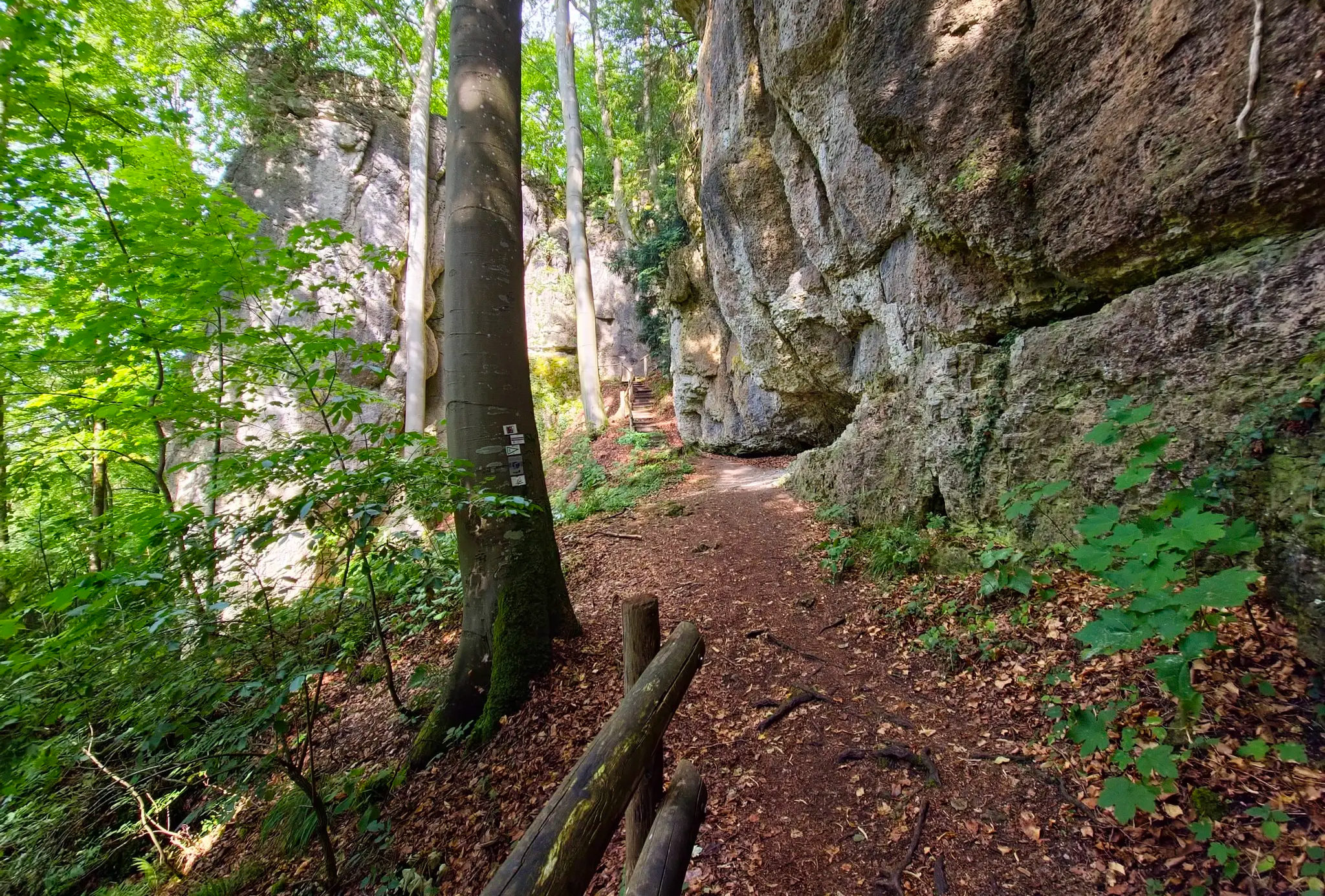
Ultratrail Fränkische Schweiz – 2 Days Burgen, Wälder, Trails
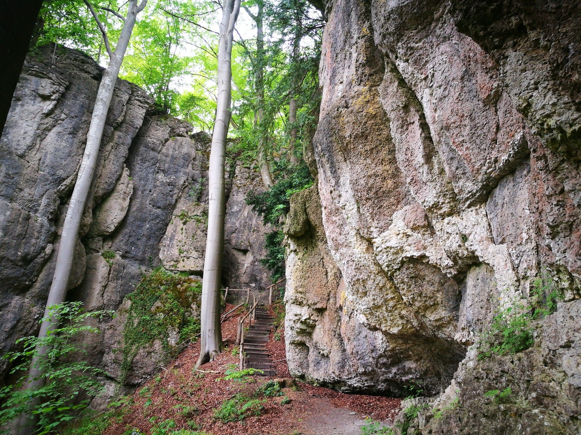
Forests, rocks and castles – 5-day circular through Franconian Switzerland

The National Natural Landscapes in Bavaria
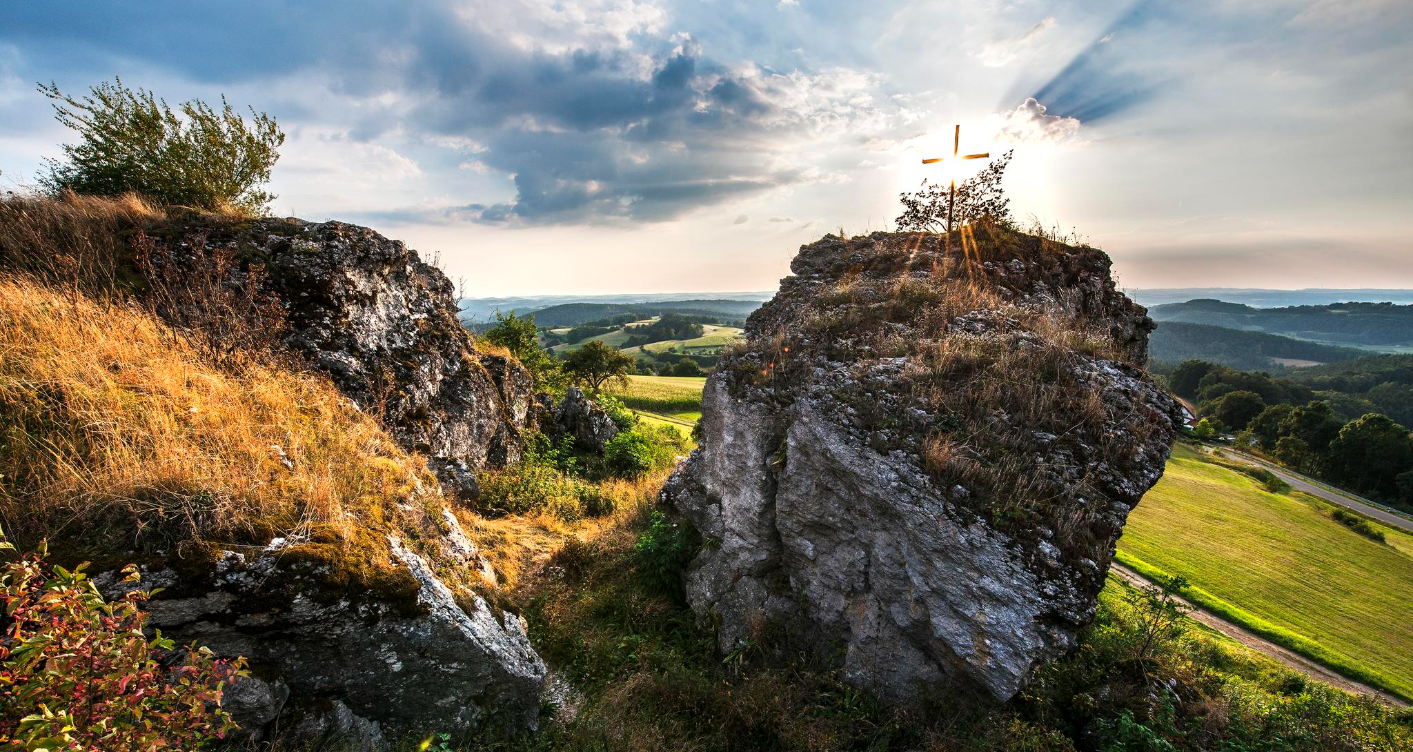
Fun hiking and wonderful views in Franconian Switzerland
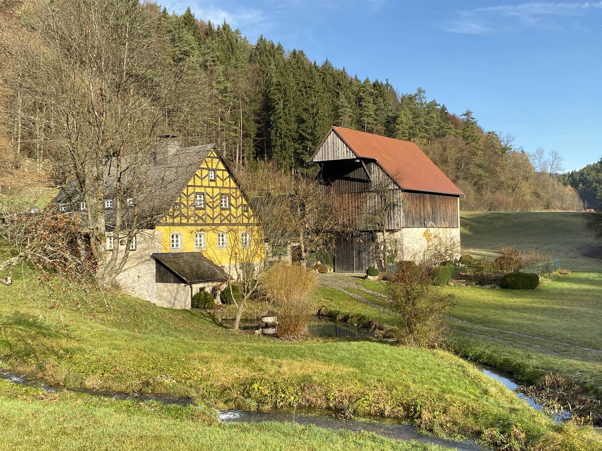
From the view to the Seidla – Nature and BeerEnjoyment in the Franconian Switzerland

The Franconian Trail – A Diverse Hiking Dream Across 24 Stages
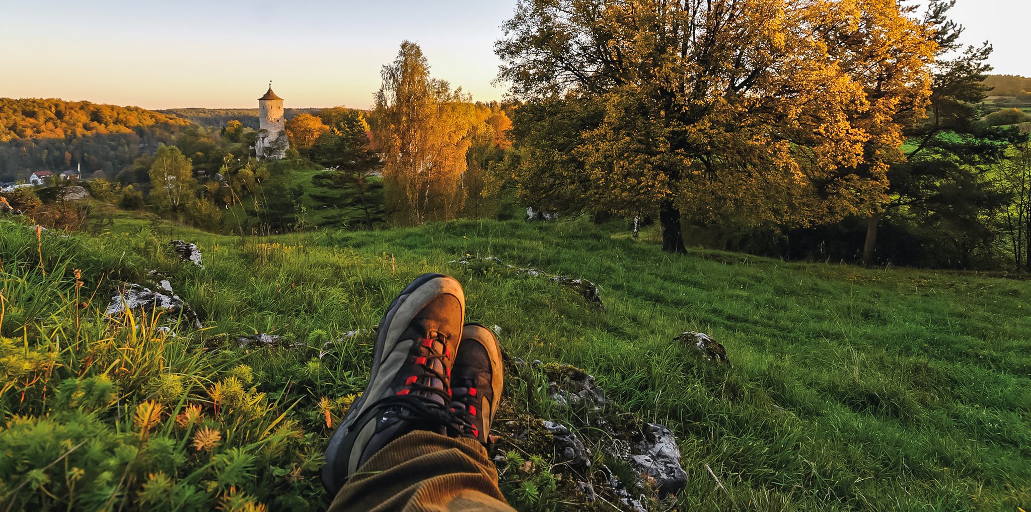
Breweries, hops & beer – Four days hiking in Franconian Switzerland
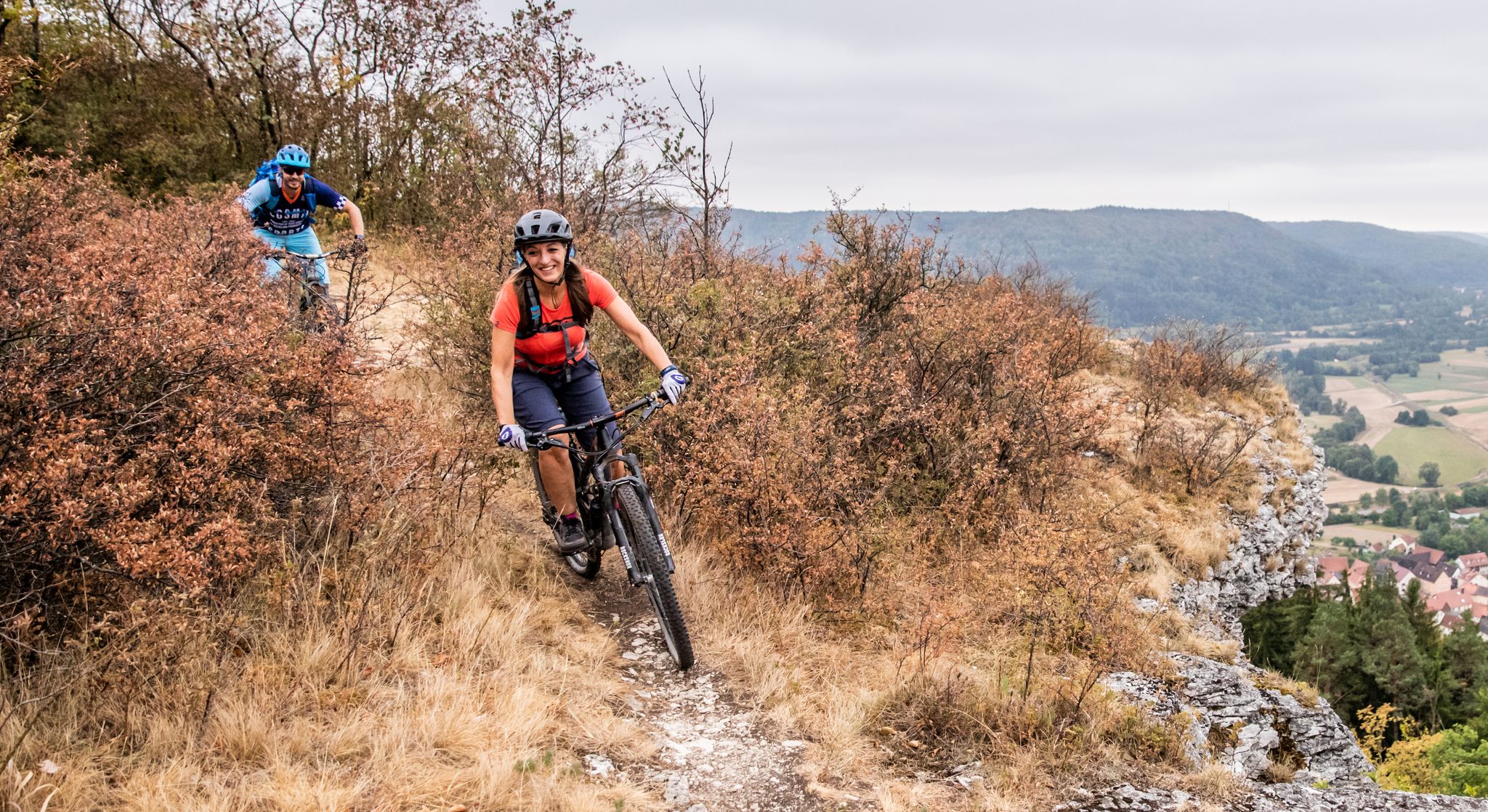
Castles, mountains, beer & trails – bikepacking in Franconian Switzerland

Hike & Beer in Franconia and Upper Palatinate — the VGN leisure tips
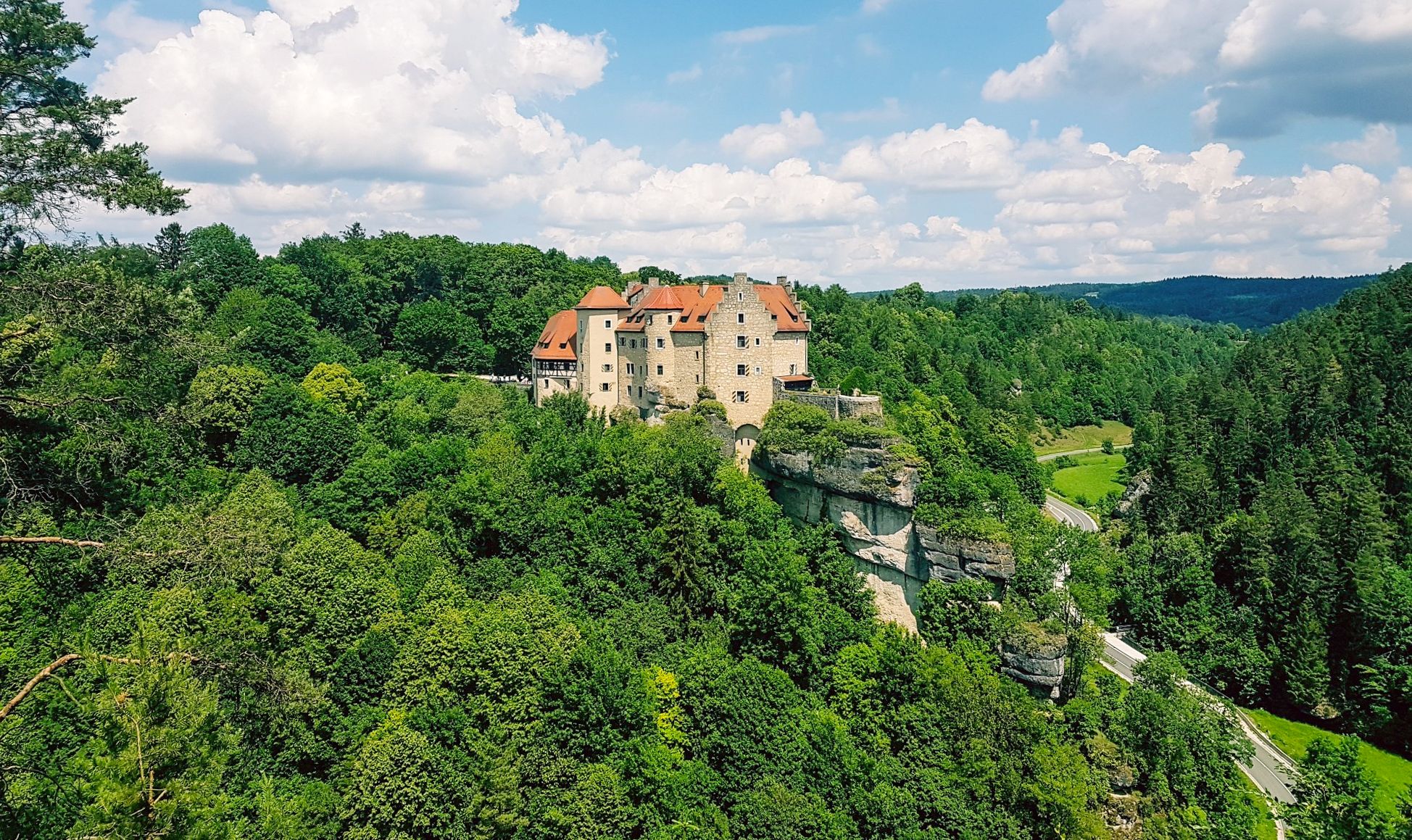
Hikes for tiny boots – VGN recreational activities for families
Other adventures in Wiesent-Tal Mit Seitentälern


Tips from the Community

Great scenery for cycling. It also works great with a gravel bike.
0
0

The cycle path between Hollfeld and Stechendorf is officially known as the Franconian Switzerland High Trail. The path follows the former railway line between Bayreuth and Hollfeld, which was closed in 1974. Thanks to the use of the old railway line, the route is largely flat and gently sloping. From Hollfeld, the path leads along the Wiesent Valley towards Stechendorf and on to Bayreuth. It is often also referred to as a leisure cycle path or a railway line path.
1
0

Very striking, unusual rock formation
0
0

A very nice hike with beautiful views of Pottenstein and rock formations. Hiking boots are essential. The rocks and tree roots in the forest are very slippery.
0
0


Beautiful forest path, off the road.
0
0
I always enjoy riding this great bike path.
4
1

Café Pflaum in Zochenreuth invites you to enjoy coffee and delicious cakes🫶
0
2
Frequently Asked Questions
How many gravel bike trails are available in Wiesent-Tal Mit Seitentälern?
The region offers a good selection of gravel bike trails, with 28 routes mapped on komoot. These include 2 easy, 8 moderate, and 18 difficult routes, providing options for various skill levels.
What kind of terrain can I expect on gravel bike routes in Wiesent-Tal Mit Seitentälern?
You'll find a diverse mix of terrain, characteristic of Franconian Switzerland. Routes often feature wooded hills, scenic river valleys, and distinctive limestone rock formations. Expect a blend of paved and unpaved paths, including forest trails and sometimes narrow, rocky passages, with varying elevation changes.
Are there any family-friendly gravel biking options in the region?
Yes, there are a few easier routes suitable for families, often following the Wiesent River. While the region is known for its varied terrain, some paths offer a gentler experience. Always check the route details for specific difficulty and surface information before heading out with children.
Can I bring my dog on the gravel bike trails in Wiesent-Tal Mit Seitentälern?
Generally, dogs are welcome on trails in the Wiesent-Tal Mit Seitentälern, especially on forest paths and less crowded routes. However, it's always best to keep them on a leash, particularly in nature reserves, near wildlife, or when passing through villages. Ensure your dog is fit enough for the chosen route's distance and elevation.
What are some scenic viewpoints or natural landmarks I can see along the gravel routes?
The region is rich in natural beauty. You might encounter impressive limestone formations and caves like the Oswald Cave or Quackenschloss. For panoramic views, consider routes that pass near the Himmelsleiter Observation Tower in Pottenstein or the Frauenstein viewpoint.
Are there any routes that pass by historical sites or castles?
Many routes in the Wiesent-Tal Mit Seitentälern offer glimpses of historical landmarks. For example, the Klumpertal Trail Overlook – Wasserstein Gate loop from Pottenstein offers views of the region's characteristic rock formations, and other paths often pass near castle ruins like Neideck Castle or Streitburg.
What is the best time of year for gravel biking in Wiesent-Tal Mit Seitentälern?
Spring and autumn are generally ideal for gravel biking in the Wiesent-Tal Mit Seitentälern, offering pleasant temperatures and beautiful scenery with blooming nature or vibrant fall foliage. Summer can also be great, especially on shaded forest trails, but be prepared for warmer weather. Winter riding is possible but may require appropriate gear for colder conditions and potentially icy or muddy paths.
Are there any circular gravel bike routes available?
Yes, many of the gravel bike routes in the region are designed as loops, allowing you to start and end at the same point. For instance, the Wiesent River at Streitberg – Ebermannstadt Market Square loop from Muggendorf is a popular circular path following the river.
What do other gravel bikers enjoy most about the Wiesent-Tal Mit Seitentälern?
The area is highly rated by the komoot community, with an average score of 4.5 stars from over 350 reviews. Reviewers often praise the diverse terrain, the scenic beauty of the river valleys and rock formations, and the variety of routes suitable for different fitness levels.
Are there challenging gravel routes for experienced riders?
Absolutely. The Wiesent-Tal Mit Seitentälern offers 18 difficult routes, characterized by significant elevation changes and more demanding terrain. An example is the Wiesent Valley Cycle Path – Pottenstein Old Town loop from Muggendorf, which features substantial climbs.
Where can I find parking for gravel biking routes in the region?
Parking is typically available in the market towns and villages that serve as starting points for many routes, such as Pottenstein, Muggendorf, or Gößweinstein. Look for designated parking areas near trailheads or town centers. It's advisable to check local signage for any parking fees or restrictions.
Are there any waterfalls along the gravel bike trails?
While not traditional large waterfalls, the region features unique tufa terraces and smaller cascades. You might find highlights like the Sinter terraces and waterfall on the Wasserwiesenbach or the Wedenbach tufa terraces and waterfall, which are beautiful natural formations to discover.
Can I access the gravel biking trails using public transport?
Public transport options, such as regional buses, connect some of the main towns and villages in the Wiesent-Tal Mit Seitentälern. Some services may allow bike carriage, but it's essential to check the specific bus line's policy and availability in advance, especially during peak seasons or for larger groups.
Most popular routes in Wiesent-Tal Mit Seitentälern
Most popular attractions in Wiesent-Tal Mit Seitentälern

Get inspired with the komoot mobile app


Explore more
Browse the best Gravel rides in other regions.
