The best hikes from bus stations in Wiesent-Tal Mit Seitentälern
4.6
(31168)
107,087
hikers
587
hikes
Bus station hiking trails in Wiesent-Tal Mit Seitentälern traverse a landscape characterized by rolling green hills, dense forests, and river valleys. The region features limestone rock formations and unique geological features, including various caves and impressive rock groups. Hikers can expect varied terrain, from narrow paths through mixed forests to open meadows and fields, with significant elevation changes in some areas. The Wiesent River is a central element, offering scenic paths along its course.
Best bus station hiking trails in…
Last updated: September 1, 2026
4.8
(1418)
4,599
hikers
13.1km
03:58
430m
430m
Moderate hike. Good fitness required. Easily-accessible paths. Suitable for all skill levels.
4.8
(847)
2,730
hikers
9.08km
02:31
160m
170m
Moderate hike. Good fitness required. Easily-accessible paths. Suitable for all skill levels.

Sign up for free
4.7
(627)
1,844
hikers
10.3km
02:49
140m
140m
Moderate hike. Good fitness required. Easily-accessible paths. Suitable for all skill levels.
4.8
(351)
1,166
hikers
7.13km
01:54
80m
80m
Easy hike. Great for any fitness level. Easily-accessible paths. Suitable for all skill levels.
4.7
(271)
877
hikers
14.8km
04:10
290m
290m
Moderate hike. Good fitness required. Mostly accessible paths. Sure-footedness required.
Get access to more routes and recommendations from other explorers.
Sign up for free
Already have an account?
Our route recommendations are based on thousands of hikes, rides, and runs completed by other people on komoot.
Start today with a free account
Your next adventure awaits.
Login or Signup
Popular around Wiesent-Tal Mit Seitentälern
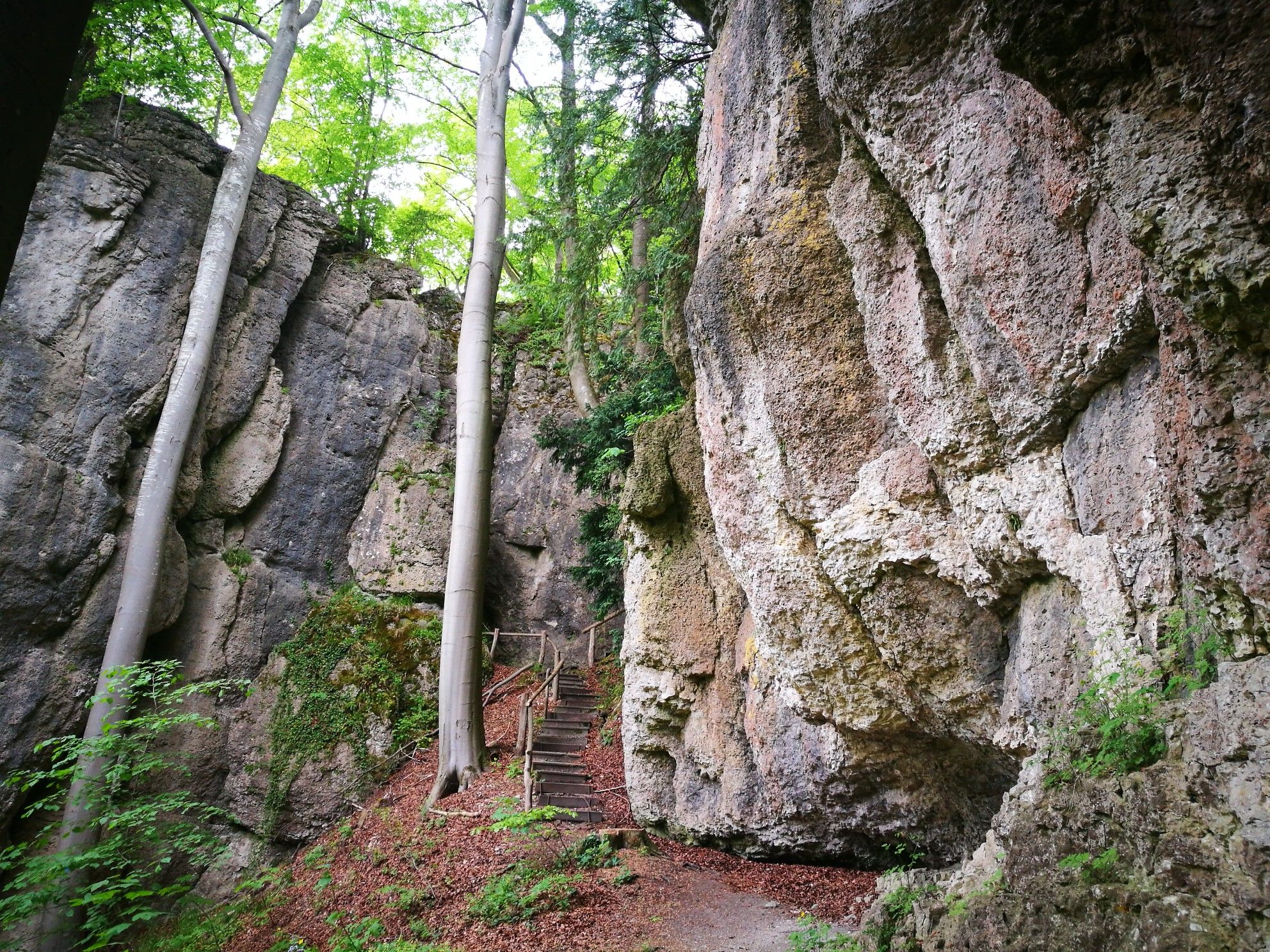
Forests, rocks and castles – 5-day circular through Franconian Switzerland

The National Natural Landscapes in Bavaria
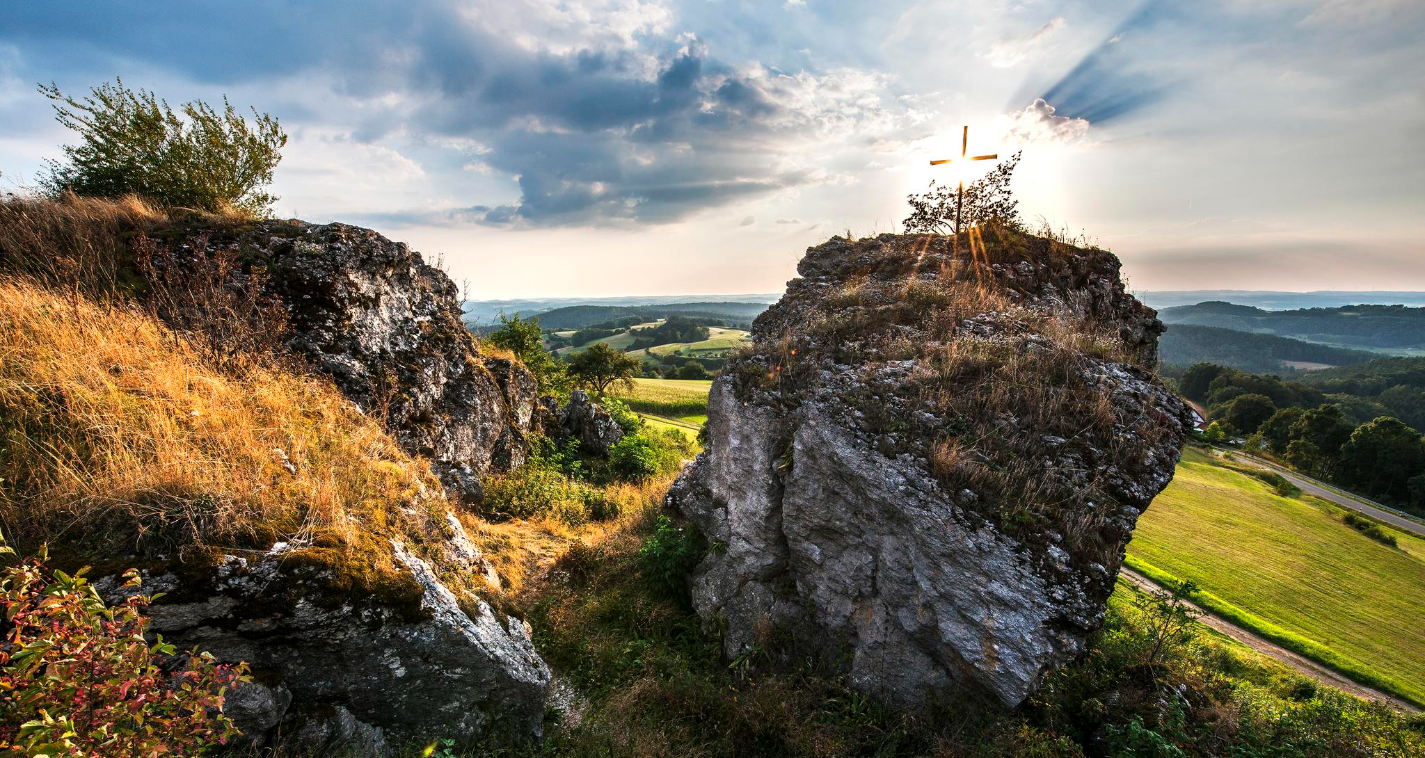
Fun hiking and wonderful views in Franconian Switzerland
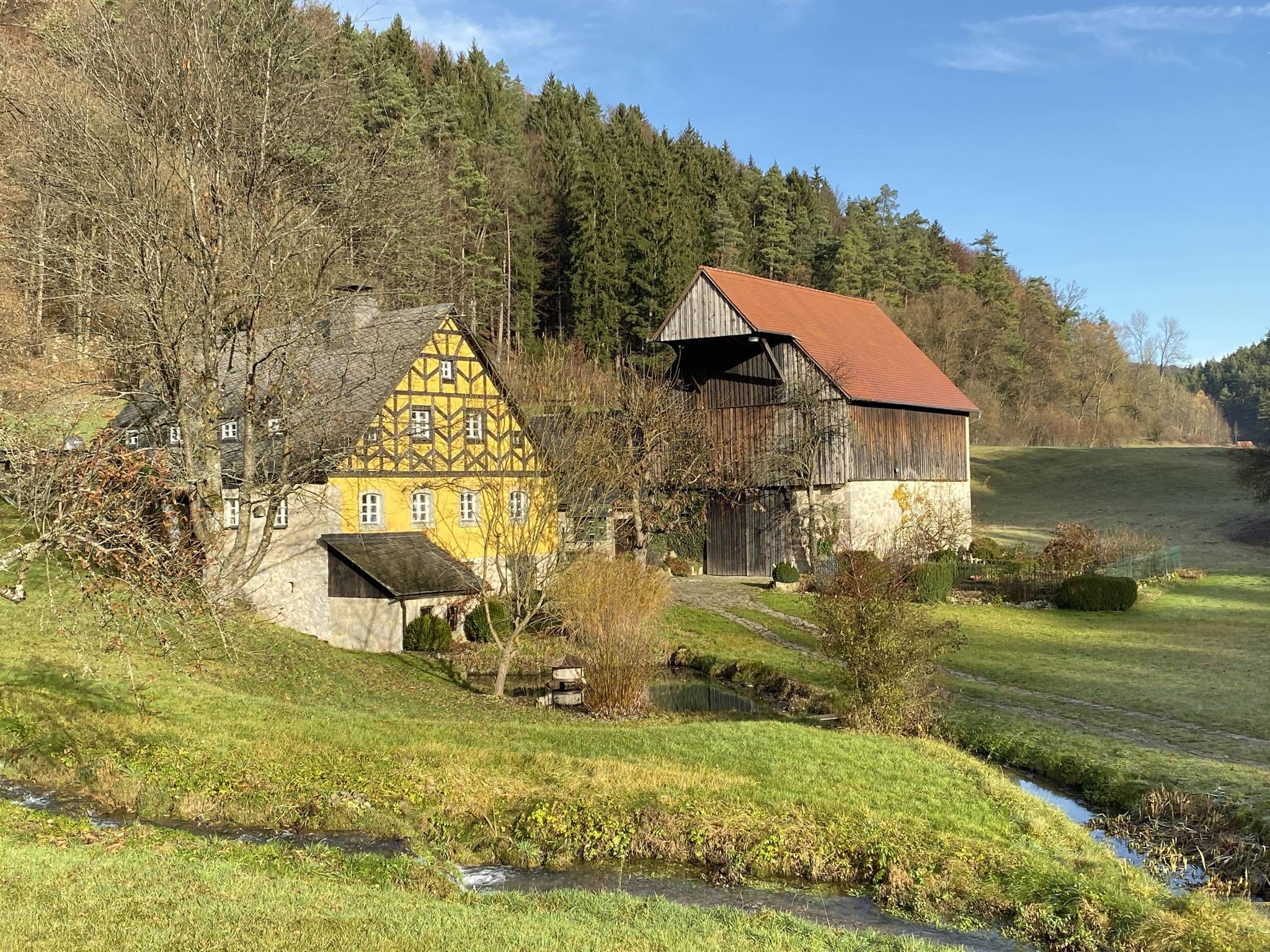
From the view to the Seidla – Nature and BeerEnjoyment in the Franconian Switzerland

The Franconian Trail – A Diverse Hiking Dream Across 24 Stages
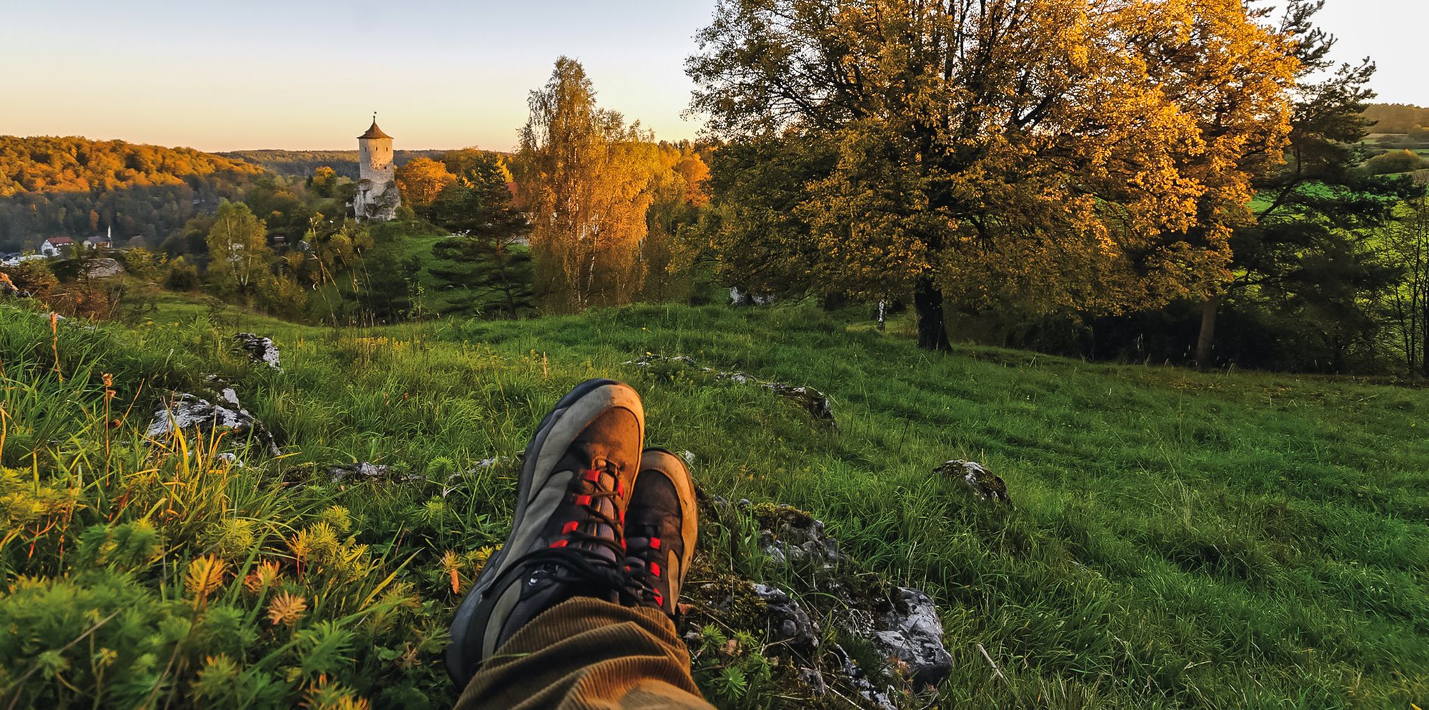
Breweries, hops & beer – Four days hiking in Franconian Switzerland

Hike & Beer in Franconia and Upper Palatinate — the VGN leisure tips
Hikes for tiny boots – VGN recreational activities for families
Franconian Switzerland — on the trace of the Purity Law
Delightful hiking in Franconian Switzerland
Other adventures in Wiesent-Tal Mit Seitentälern


Tips from the Community


Beautiful, wild and romantic small rocky gorge
1
0
After the spectacular cave tour, you are once again royally rewarded with this view.
1
0

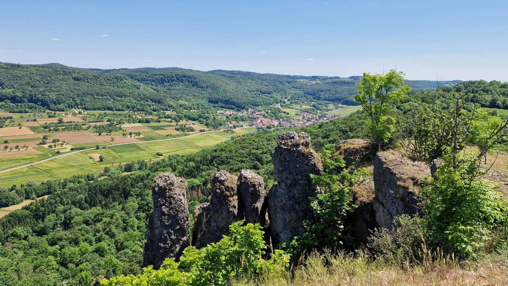
One of several beautiful and impressive rock formations in the area.
1
0

Very fine passage of the tour around the Teufelshöhle
1
0

Here, too, bat protection applies. To view it from above, leave the main path. Approach Kuhloch from below. A sign at the junction from the main path would be useful!
0
0

Don't forget your flashlight, and it's best to set off early so you have more time for the hells.
0
0

Tüchersfeld is the typical Franconian "showcase town" with its striking rocks and the location of the half-timbered houses, which in some cases seem to be glued to the rocks.
9
0
Frequently Asked Questions
How many bus station hiking trails are available in Wiesent-Tal Mit Seitentälern?
Wiesent-Tal Mit Seitentälern offers a vast network of over 580 hiking trails that are accessible from various bus stations. This includes a wide range of difficulties, with more than 200 easy routes, over 300 moderate trails, and nearly 70 challenging options.
What is the best time of year to hike from bus stations in this region?
The best seasons for hiking in Wiesent-Tal Mit Seitentälern are spring and autumn. In spring, you'll experience nature in full bloom, while autumn offers stunning golden foliage and pleasant temperatures, making for a beautiful hiking experience.
Are there easy hiking routes accessible from bus stops for beginners or casual walkers?
Yes, there are many easy routes perfect for beginners or those looking for a relaxed walk. For example, the Klumpertal Stream – Klumpertal loop from Teufelshöhle is an easy 7.1 km trail that takes about 1 hour 55 minutes, featuring gentle elevation changes and scenic views of the stream.
What kind of terrain can I expect on bus-accessible trails in Wiesent-Tal Mit Seitentälern?
The region is known for its diverse terrain, even on bus-accessible trails. You can expect a mix of rolling green hills, dense forests, picturesque river valleys along the Wiesent, and impressive limestone rock formations. Some trails, like those in the 'Muggendorfer Gebürg', feature sections with an alpine, rocky character, while others offer open meadows and fields.
Are there challenging routes I can reach by bus for experienced hikers?
Absolutely. For experienced hikers, the region offers routes with significant elevation changes. The Oswald Cave – Rock Gate in the Forest loop from Muggendorf is a moderate 13 km trail with over 400 meters of ascent, taking approximately 4 hours, and offers a good challenge with varied terrain.
Can I find circular walks starting from bus stations in the area?
Yes, many trails are designed as circular routes, allowing you to start and end at the same bus station. The Trail Above the Devil's Cave – Pottenstein Castle loop from Pottenstein is a popular moderate 8.8 km circular hike that takes around 2 hours 25 minutes, offering historical sights and natural beauty.
Are the bus station trails suitable for families with children?
Many trails are family-friendly, especially the easier and shorter loops. The region's unique rock formations and caves, like the Oswald Cave or Quackenschloss, provide exciting points of interest for children. Look for routes with less elevation gain and shorter distances for younger hikers.
Are dogs allowed on these trails accessible by bus?
Generally, dogs are welcome on most hiking trails in Wiesent-Tal Mit Seitentälern, provided they are kept on a leash, especially in nature protection areas or near wildlife. Always be mindful of local regulations and other hikers. Remember to bring water for your dog, especially on longer routes.
What natural attractions or landmarks can I see along bus-accessible routes?
You'll encounter numerous natural and historical highlights. Many routes pass by impressive limestone formations and caves such as the Oswald Cave, Quackenschloss, and the Riesenburg Collapse Cave. You can also discover historic sites like the Ruins of Neideck Castle, offering magnificent panoramic views.
Are there places to eat or drink near the bus station trailheads?
Yes, many villages and towns in the Wiesent-Tal, such as Muggendorf, Streitberg, and Pottenstein, have bus stations that are close to cafes, restaurants, and traditional Franconian inns. You can often find places like the Kuchenmühle in the Aufseß Valley or the Schweigelberg Forester's Lodge near trailheads, perfect for a refreshment before or after your hike.
What do other hikers say about the bus station trails in Wiesent-Tal Mit Seitentälern?
The komoot community highly rates the hiking experience in Wiesent-Tal Mit Seitentälern, with an average score of 4.6 stars from over 26,500 ratings. Hikers frequently praise the region's diverse landscapes, well-maintained trails, and the unique combination of natural beauty and historical sites, all easily accessible by public transport.
How long do the bus station hikes typically take?
Hike durations vary significantly depending on the route's length and difficulty. Easy trails can be as short as 1.5 to 2 hours, while moderate routes often range from 2.5 to 4 hours. More challenging hikes, like the Gößweinstein Rock Trail – Esper Cave loop from Gößweinstein (14.3 km), can take over 4 hours.
Most popular routes in Wiesent-Tal Mit Seitentälern
Most popular attractions in Wiesent-Tal Mit Seitentälern

Get inspired with the komoot mobile app


Explore more
Browse the best Hikes in other regions.
