The best hikes from bus stations in Panamá Oeste
4.6
(774)
3,866
hikers
19
hikes
Hiking in Panamá Oeste offers diverse landscapes, characterized by volcanic hills and formations, including the caldera of El Valle de Antón. The region features dense tropical forests and cloud forests, rich in biodiversity, alongside rolling hills and interior mountain ranges. Numerous waterfalls and rivers are integrated into many routes, providing varied terrain and scenic viewpoints.
Best bus station hiking trails in Panamá Oeste
- The most popular bus station hiking route is View of El Valle de Antón – Pacific Ocean…
Last updated: June 23, 2026
4.7
(106)
364
hikers
8.72km
02:44
310m
310m
Moderate hike. Good fitness required. Easily-accessible paths. Suitable for all skill levels.
4.7
(64)
239
hikers
7.80km
02:38
290m
290m
Moderate hike. Good fitness required. Mostly accessible paths. Sure-footedness required.

Sign up for free
4.6
(38)
107
hikers
16.1km
04:59
450m
450m
Hard hike. Good fitness required. Sure-footedness, sturdy shoes and alpine experience required.
4.6
(14)
59
hikers
7.42km
02:22
300m
300m
Moderate hike. Good fitness required. Easily-accessible paths. Suitable for all skill levels.
4.5
(17)
92
hikers
12.2km
03:29
270m
270m
Moderate hike. Good fitness required. Easily-accessible paths. Suitable for all skill levels.
Get access to more routes and recommendations from other explorers.
Sign up for free
Already have an account?
Our route recommendations are based on thousands of hikes, rides, and runs completed by other people on komoot.
Start today with a free account
Your next adventure awaits.
Login or Signup




Other adventures in Panamá Oeste

Tips from the Community

View of the mystical La India dormida. The trail there is highly recommended.
0
0
Hut with trail information. A good place for shelter in bad weather.
0
0
Click here for the Cerro Cara Iguana Trail
0
0
comfortable bench to rest on with a great view
0
0
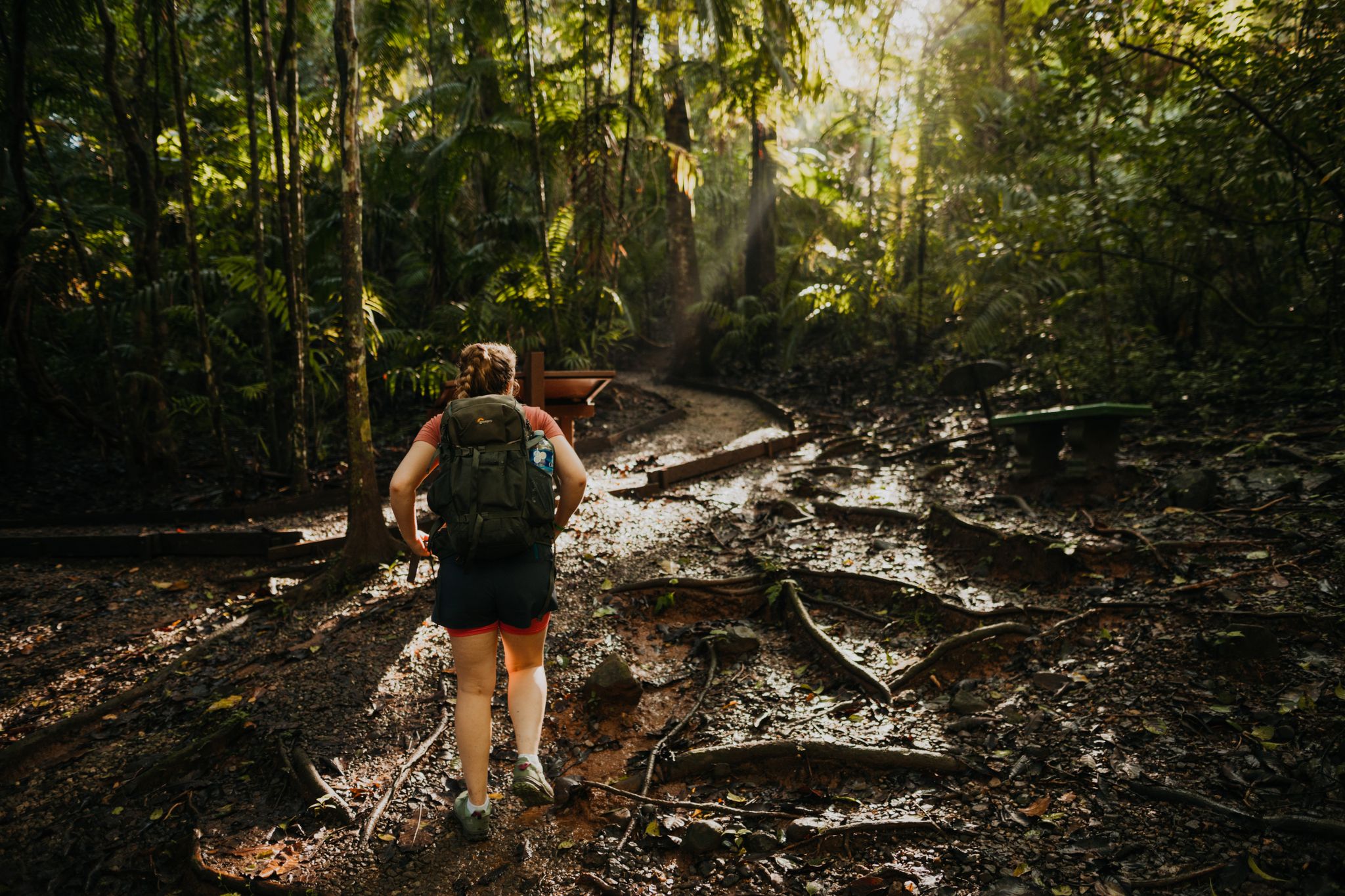
the roots are exposed here and form a natural staircase
0
0

And what do you think the drawings on the stone are?
0
0
Frequently Asked Questions
How many hiking trails are accessible directly from bus stations in Panamá Oeste?
There are over 14 hiking routes in Panamá Oeste that you can start directly from a bus station. These trails range from easy walks to challenging ascents, making it convenient to explore the region without a car.
What kind of terrain can I expect on bus-accessible hikes in Panamá Oeste?
Panamá Oeste's bus-accessible trails offer diverse terrain, from lush tropical and cloud forests to volcanic hills and rolling mountain ranges. You'll encounter dramatic ridges, scenic viewpoints, and often moss-covered paths, especially around areas like El Valle de Antón.
Are there any easy, family-friendly hikes near bus stops in Panamá Oeste?
Yes, there are several easy options. While specific family-friendly routes from bus stops aren't detailed, the region offers trails suitable for various skill levels. For a moderate option with great views, consider the View of La India Dormida – Gravel Road loop from El Valle, which is accessible from El Valle de Antón.
Can I find circular hiking routes that start and end at a bus station?
Many of the routes designed for bus accessibility are circular, allowing you to return to your starting point without needing additional transport. For example, the View of El Valle de Antón – Pacific Ocean Viewpoint loop from El Valle is a moderate circular hike that begins and ends in El Valle.
What are some notable natural features or landmarks I might see on these trails?
The trails often lead to stunning natural features. You can expect to see volcanic formations, dense tropical forests, and numerous waterfalls. Highlights include the unique caldera of El Valle de Antón, the silhouette of La India Dormida, and panoramic views from peaks like Cerro Picacho. You might also encounter the Golden Frog Conservation Center and Trailhead.
Are there any challenging hikes accessible by public transport in Panamá Oeste?
Absolutely. For experienced hikers seeking a challenge, the region offers difficult routes accessible by bus. The Cerro Gaital Loop Trail – El Gaital Trail loop from El Valle is a challenging 17.5 km path through cloud forest, perfect for birdwatching and offering extensive views.
What is the best time of year to go hiking in Panamá Oeste?
Panamá Oeste offers hiking opportunities year-round. The dry season (typically December to April) provides clearer skies and less muddy trails, while the rainy season (May to November) brings lush greenery and more active waterfalls, though trails can be slippery. Always check local weather conditions before heading out.
What do other hikers enjoy most about the bus-accessible trails in Panamá Oeste?
The komoot community highly rates these trails, with an average score of 4.65 stars. Hikers frequently praise the convenience of starting directly from bus stations, the diverse landscapes, and the rewarding panoramic views, especially from routes like the Cerro La Cruz – Cerro Picacho Viewpoint loop from El Valle.
Are there opportunities for birdwatching or wildlife spotting on these trails?
Yes, the dense tropical and cloud forests of Panamá Oeste are rich in biodiversity, making them excellent for birdwatching and wildlife spotting. Trails like those around Cerro Gaital are particularly known for their diverse flora and fauna, including orchids, bromeliads, and various bird species.
Can I find trails with waterfalls along the bus-accessible routes?
Many areas in Panamá Oeste are home to numerous waterfalls and rivers. While specific bus-accessible routes directly to waterfalls aren't listed, the region's natural features often include these refreshing stops. The India Dormida trail, for instance, is known for its cascading waterfalls.
What should I consider regarding elevation and difficulty on these hikes?
The trails vary significantly in elevation gain and difficulty. You'll find easy walks with minimal ascent, moderate routes with rolling hills, and difficult trails involving significant climbs, such as the View of the Rainforest – Viewpoint loop from El Valle, which has over 500 meters of elevation gain. Always check the route details for specific elevation profiles.
Most popular attractions in Panamá Oeste

Get inspired with the komoot mobile app


Didn’t find what you were looking for?
Check out more Hikes throughout Panamá Oeste below and find the perfect route in your destination.
Explore more
Browse the best Hikes in other regions.
