The best hikes from bus stations around Innerleithen And District
4.4
(375)
3,899
hikers
14
hikes
Bus station hiking trails around Innerleithen And District traverse a landscape characterized by rolling hills, meandering rivers, and expansive woodlands within the Scottish Borders. The region features diverse terrain, from gentle riverside paths along the River Tweed and Leithen Water to more challenging ascents of hills like Minchmoor Hill. Numerous forests, including Cardrona Forest and Cademuir Forest, offer shaded routes and varied flora. This area provides a comprehensive network of trails suitable for various abilities, often starting directly from public…
Last updated: October 10, 2026
5.0
(2)
114
hikers
Moderate hike. Good fitness required. Easily-accessible paths. Suitable for all skill levels.
4.5
(2)
23
hikers
Moderate hike. Good fitness required. Easily-accessible paths. Suitable for all skill levels.

5.0
(1)
33
hikers
Easy hike. Great for any fitness level. Easily-accessible paths. Suitable for all skill levels.
4.0
(1)
8
hikers
28.9km
08:07
560m
560m
Hard hike. Very good fitness required. Easily-accessible paths. Suitable for all skill levels.
22
hikers
Easy hike. Great for any fitness level. Easily-accessible paths. Suitable for all skill levels.
Get access to more routes and recommendations from other explorers.
Already have an account?
Our route recommendations are based on thousands of hikes, rides, and runs completed by other people on komoot.
Start today with a free account
Your next adventure awaits.
Popular around Innerleithen And District
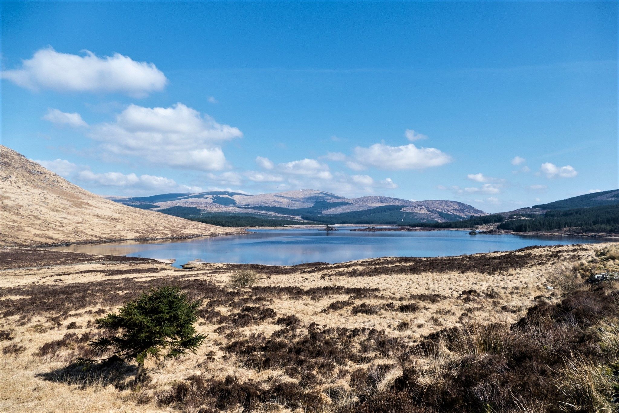
Southern Upland Way — A wild and undiscovered coast-to-coast challenge
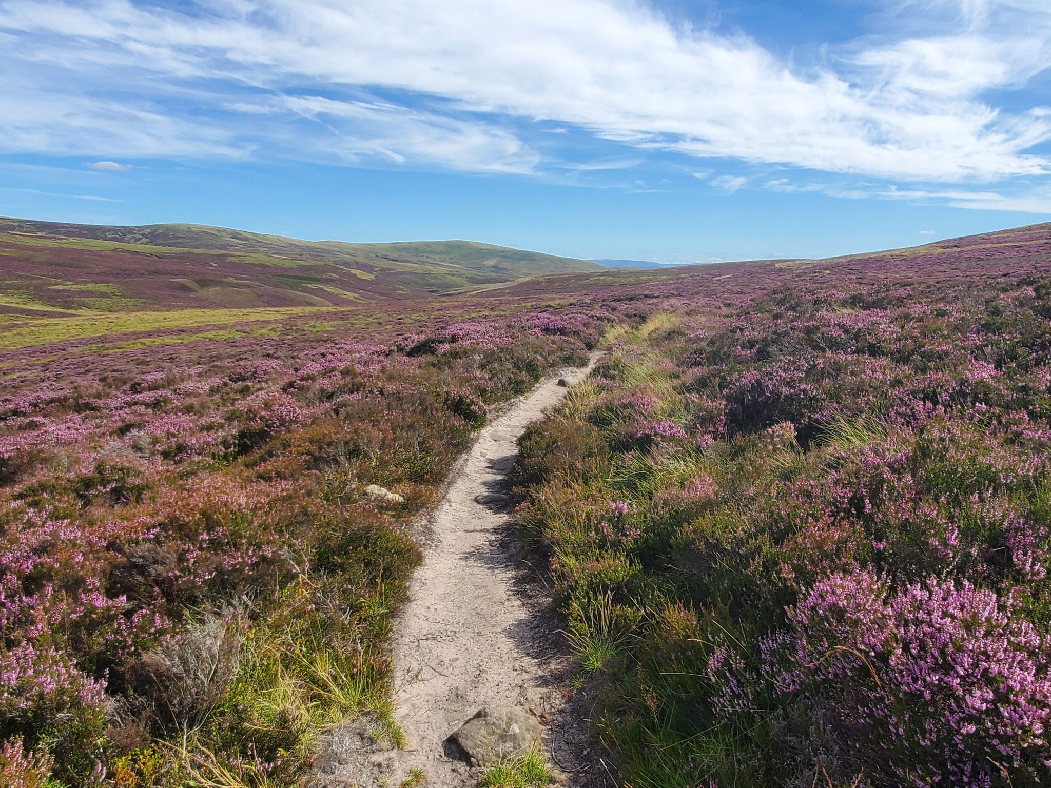
Hike in the footsteps of history – Cross Borders Drove Road
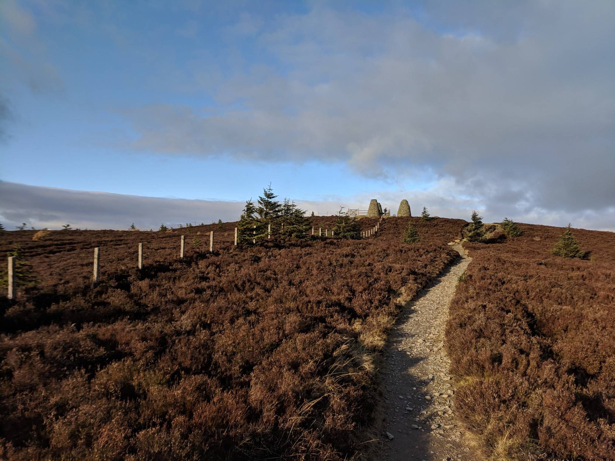
The Central Belter — Gravel trails of the coast and Cairngorms
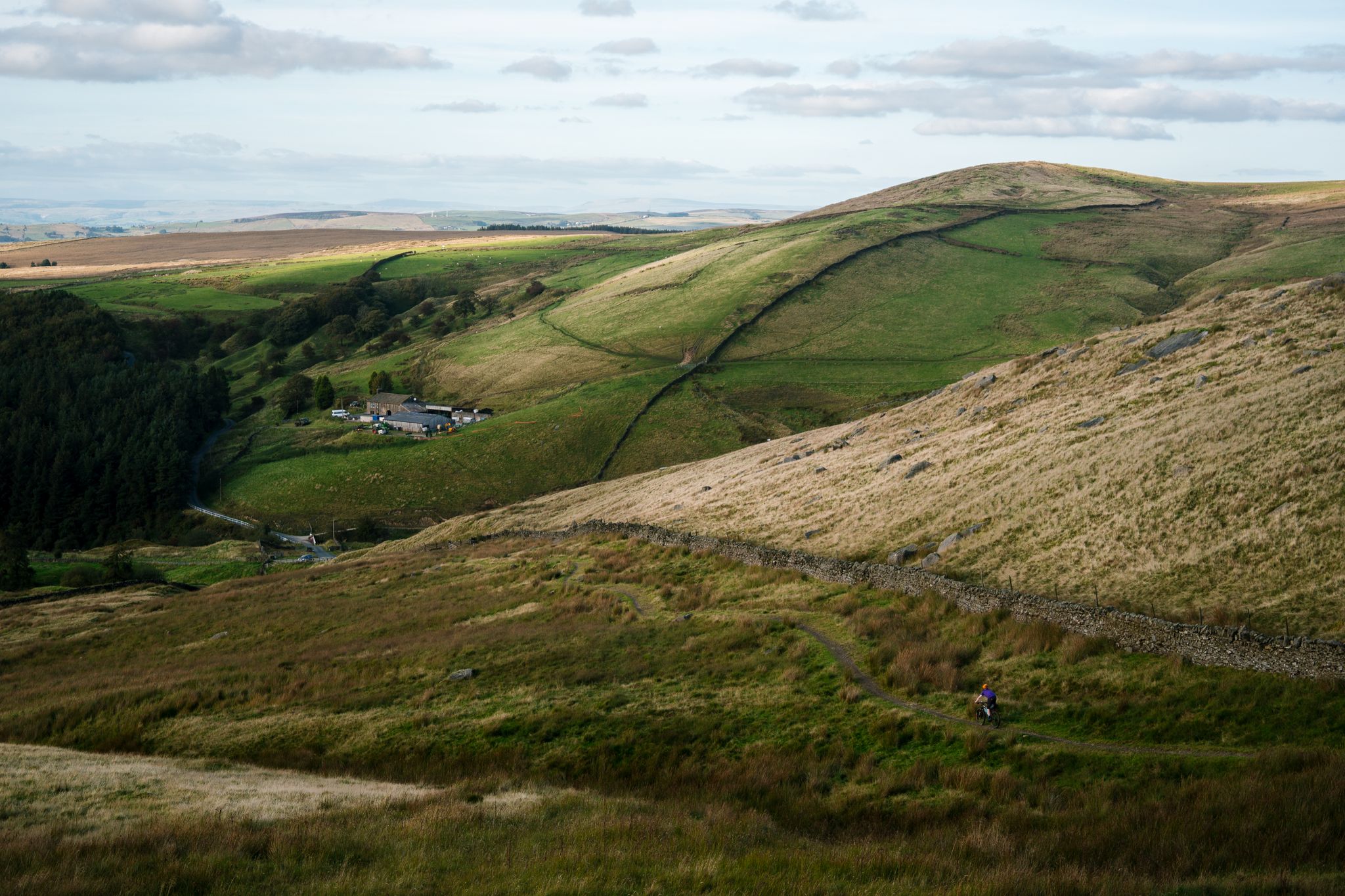
Great North Trail — From the Pennine Hills to the tip of Scotland
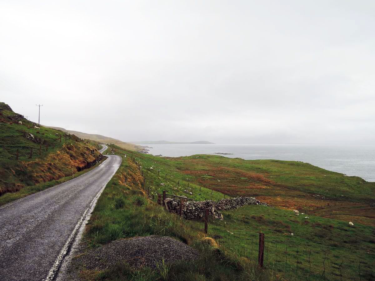
The North Sea Coast Cycle Route part 7 — Scotland
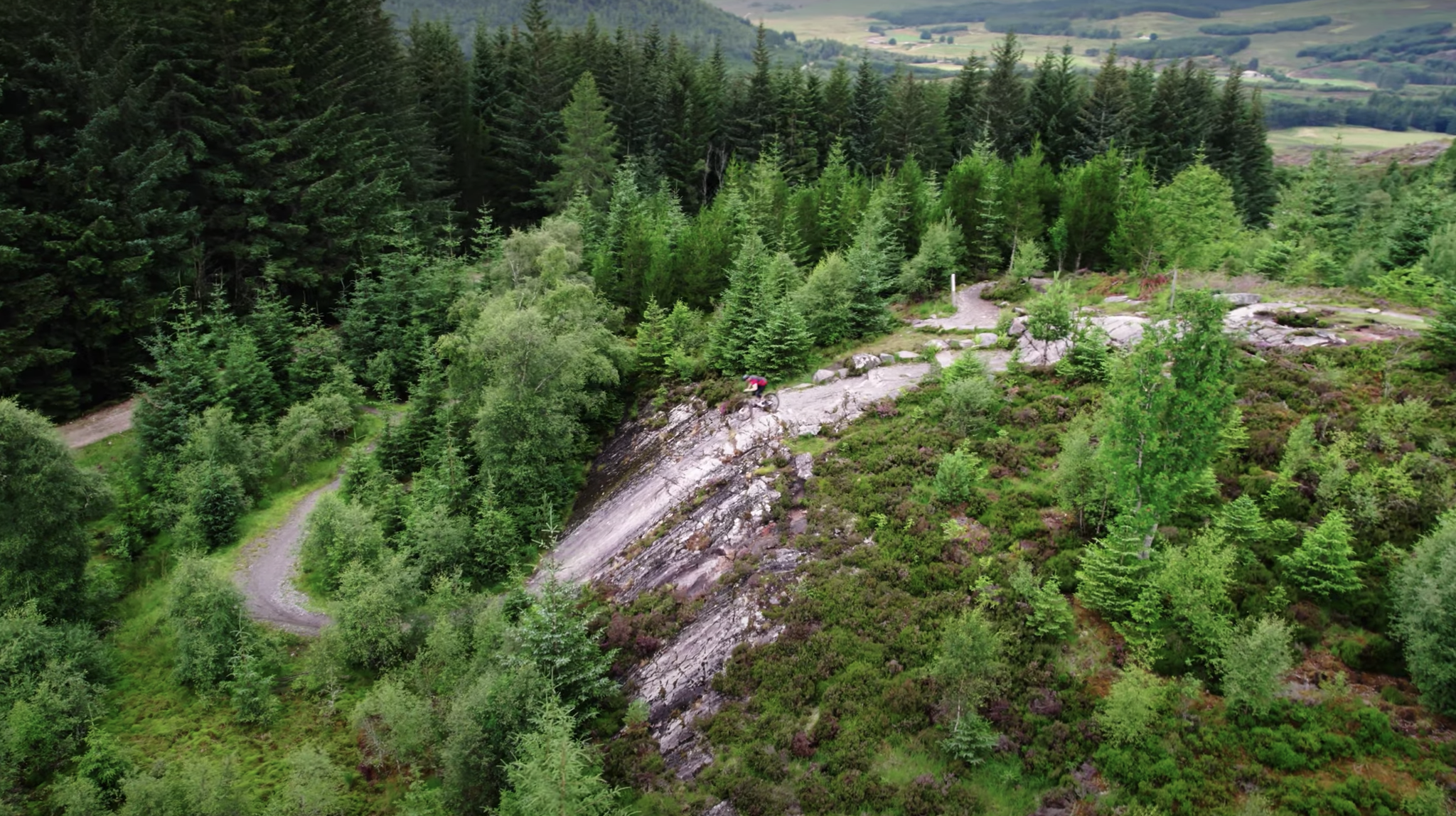
Scotty's Scotland Showcase — A sustainable tour of the country's best trails
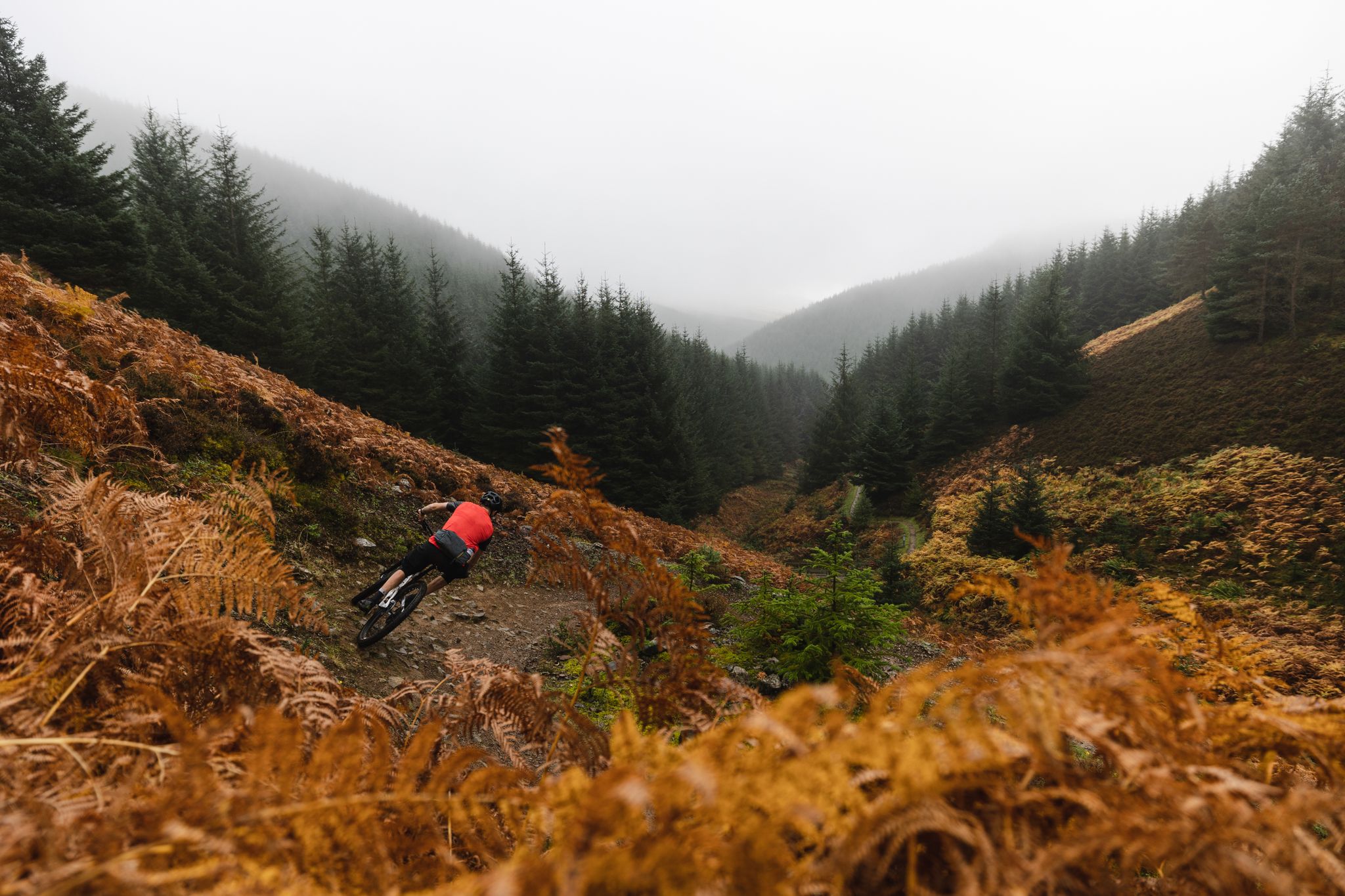
The Tweed Valley — Scotty's Scotland Showcase
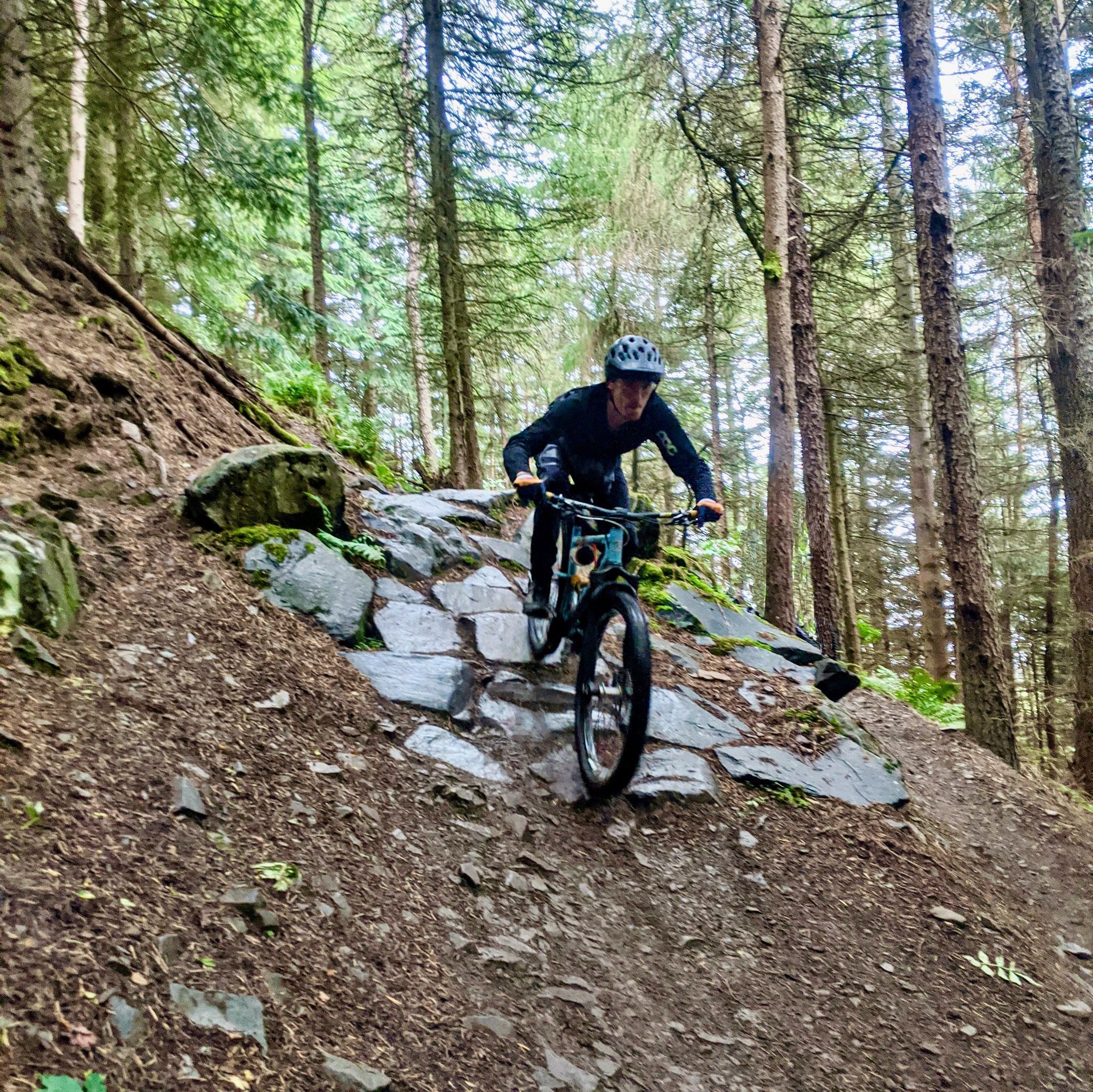
Innerleithen — World-class 7Stanes MTB in the Tweed Valley
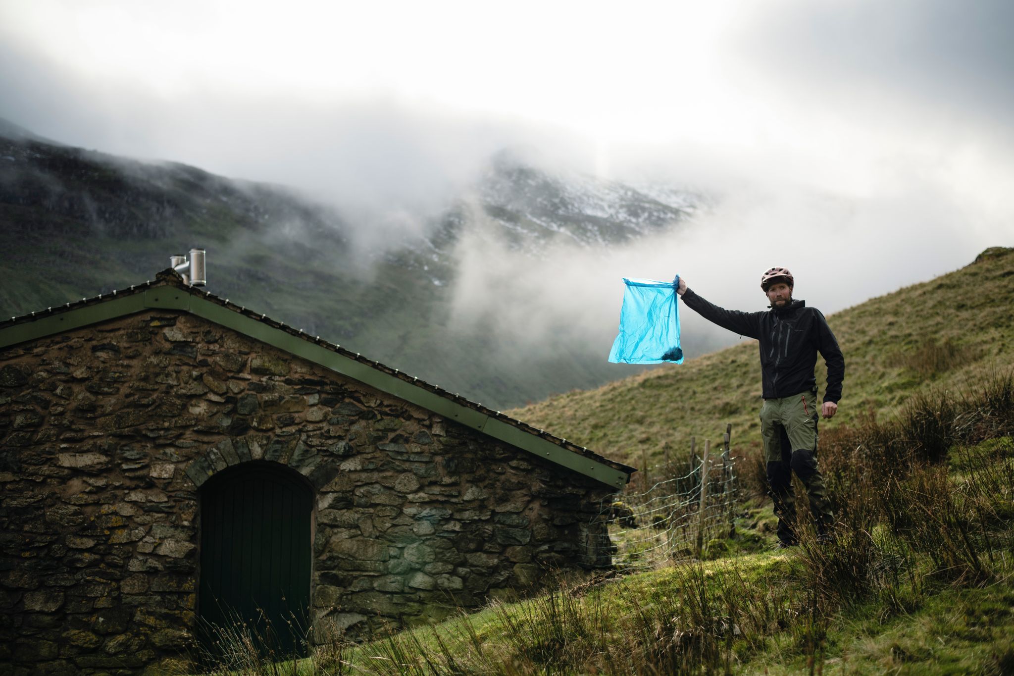
The Trash Free Trails Autumn Litter Watch
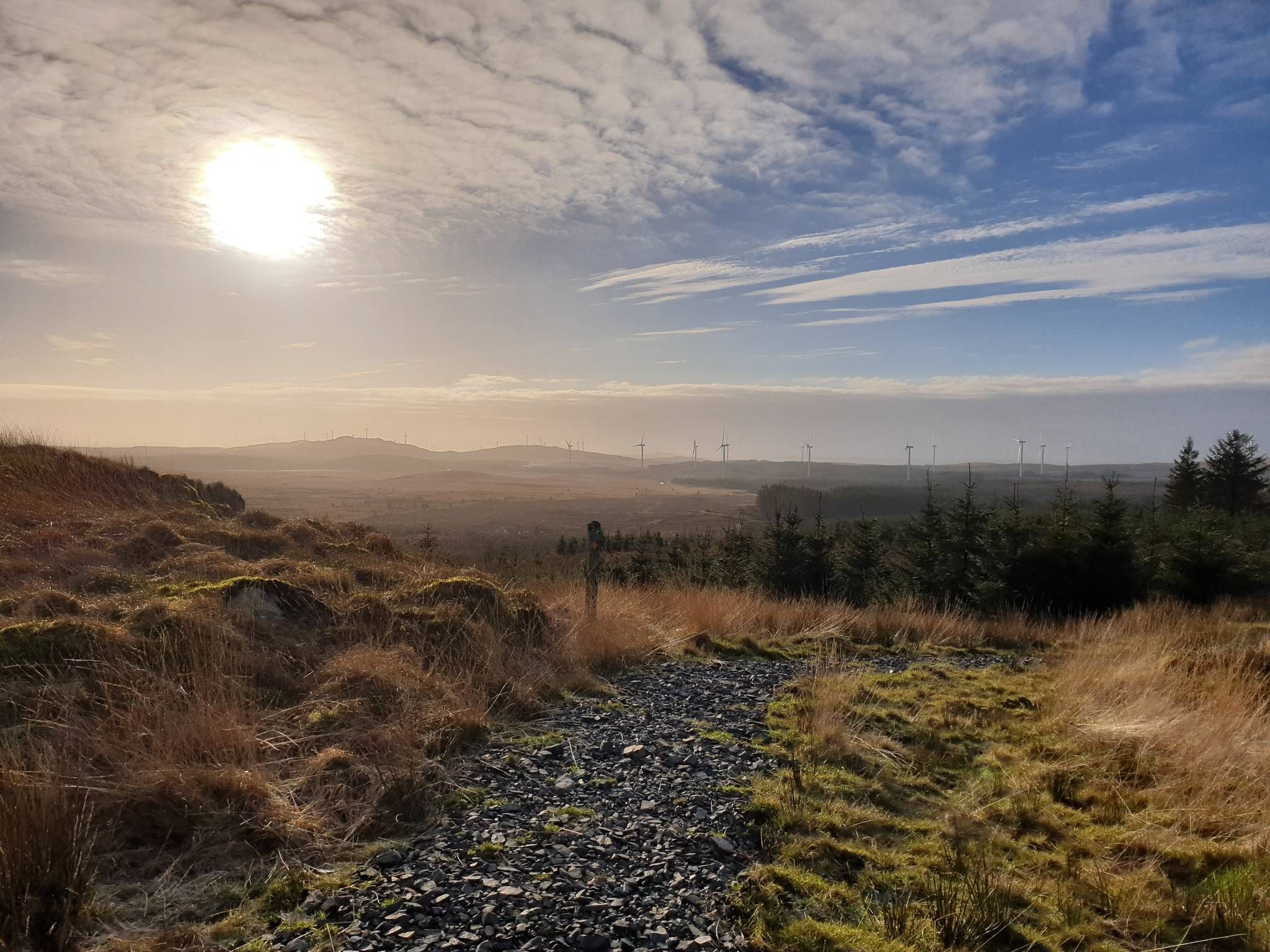
Bikepacking the breadth of the Borderlands — Southern Upland Way
Other adventures around Innerleithen And District


Tips from the Community

This excursion from the Southern Upland Way and the Cross Borders Drove Road is well worth the effort. On a clear day, you can see the hills surrounding the Tweed and Yarrow valleys. It's a special feeling, standing in a place where travelers, shepherds, and (Roman) armies passed through centuries ago.
0
0

Lovely town in the Scottish Borders with the best pies from Forsyths
1
0


From this viewpoint near Minch Moor summit, you are afforded wonderful panoramic views of the surrounding landscape. On a clear day, you can see the rolling hills and valleys of the Scottish Borders region, with the Tweed Valley stretching out before you. You may also spot towns and villages such as Peebles and Innerleithen nestled among the greenery.
1
0
Traquair House is the oldest continually inhabited house in Scotland. It proudly states on a sign outside that it has been visited by 27 Scottish kings and queens since it was built in 1107. It's a magnificent building with equally magnificent gardens. You can access the house from the road here, but do keep in mind it is only open to the public seasonally, between March and October. You can find information on prices and daily opening times here https://www.traquair.co.uk/visitor-information/
1
0
This lovely piece of architecture is the gatehouse to Glen House, a classic Scottish estate hidden in the hills of the Scottish Borders. The estate dates from the 13th century, but the present Glen House was built in the mid 19th century. You can't fully access Glen House, but there is a road a couple of hundred metres to the east that is accessible to the public and goes very close to the magnificent building, so you can get a closer look.
0
0
Frequently Asked Questions
How many bus station hiking trails are available in Innerleithen And District?
There are over 15 hiking trails in Innerleithen And District that start directly from bus stations, making it convenient to explore the region without a car. These routes cater to various fitness levels, from easy strolls to more challenging ascents.
Are there easy bus station hikes suitable for beginners or families?
Yes, the region offers 5 easy bus station hikes perfect for beginners or families. A great option is the Innerleithen Golf Club – Leithen Water Swimming Spot loop from Innerleithen, which is an easy 5.2 km walk with minimal elevation gain, following the serene Leithen Water.
Can I find challenging hikes accessible by bus in this region?
Absolutely. For those seeking a challenge, there is 1 difficult bus station hike available. The Peebles Town Centre – Riverside Path loop from Innerleithen is a demanding 28.8 km route with over 550 meters of elevation, offering a full-day adventure through the scenic Tweed Valley.
What kind of natural features can I expect to see on these bus station trails?
The bus station trails in Innerleithen And District traverse a diverse landscape of rolling hills, picturesque rivers like the Tweed and Leithen Water, and expansive woodlands such as Cardrona Forest and Pirn Wood. You can also discover natural highlights like St Mary's Loch and the Leithen Water Swimming Spot.
Are the bus station trails in Innerleithen And District dog-friendly?
Many of the trails in Innerleithen And District are dog-friendly, offering plenty of opportunities for your canine companion to enjoy the outdoors. However, always keep dogs under control, especially near livestock, and check local signage for any specific restrictions in certain areas or nature reserves.
What historical sites or landmarks can I explore on these hikes?
The region is rich in history. While hiking, you might encounter ancient Iron Age forts on hills like Caerlee Hill and Pirn Hill, or pass by historical estates such as Traquair House. Some trails, like the Pilots' Trail in Cademuir Forest, also have World War II significance. You can also find landmarks like the View of the Three Brethren.
Are there any scenic viewpoints accessible from bus station trails?
Yes, many trails offer spectacular views. The rolling hills of Innerleithen And District, including Lee Pen, Kirnie Law, and Minchmoor Hill, provide breathtaking vistas. Specific viewpoints like Manor Sware Viewpoint and Pike's Knowe Cairn and Viewpoint are accessible, offering panoramic outlooks over the Scottish Borders.
What do other hikers say about the bus station trails in Innerleithen And District?
The bus station trails in Innerleithen And District are highly regarded by the komoot community, with an average rating of 4.4 out of 5 stars from over 300 reviews. Hikers often praise the diverse landscapes, well-maintained paths, and the convenience of starting directly from public transport stops.
Are there any bus station hikes that include riverside paths?
Yes, the meandering River Tweed and Leithen Water are central to the district's charm, providing serene riverside paths. The Innerleithen Golf Club – Leithen Water Swimming Spot loop from Innerleithen is a great example, following the Leithen Water. The region also features the River Tweed Walk, offering captivating views and tranquil escapes.
Are there any circular bus station walks available?
Several bus station routes offer circular options, allowing you to return to your starting point without retracing your steps. For instance, the Glenpeggy Trail – Cardrona Pump Track loop from Cardrona is a moderate 14.6 km circular hike exploring the varied terrain of Cardrona Forest.
Can I find bus station hikes that go through forests?
Absolutely. Innerleithen is surrounded by a wealth of forests, and many bus station trails lead through them. You can explore shaded paths in Cademuir Forest, Elibank Forest, Cardrona Forest, and Pirn Wood. The Glenpeggy Trail – Cardrona Pump Track loop from Cardrona is an excellent example of a forest hike accessible by bus.
Are there bus station hikes suitable for a half-day outing?
Yes, many bus station hikes are perfect for a half-day adventure. Routes like the Innerleithen High Street – No1 Peebles Road Café loop from Innerleithen, at 5.7 km, can be completed in a few hours, allowing you to enjoy the scenery and still have time to explore Innerleithen.
Most popular routes around Innerleithen And District
Most popular attractions around Innerleithen And District

Get inspired with the komoot mobile app


Explore more
Browse the best Hikes in other regions.
