The best traffic-free bike rides in Pachaug State Forest
3.5
(2)
58
riders
14
rides
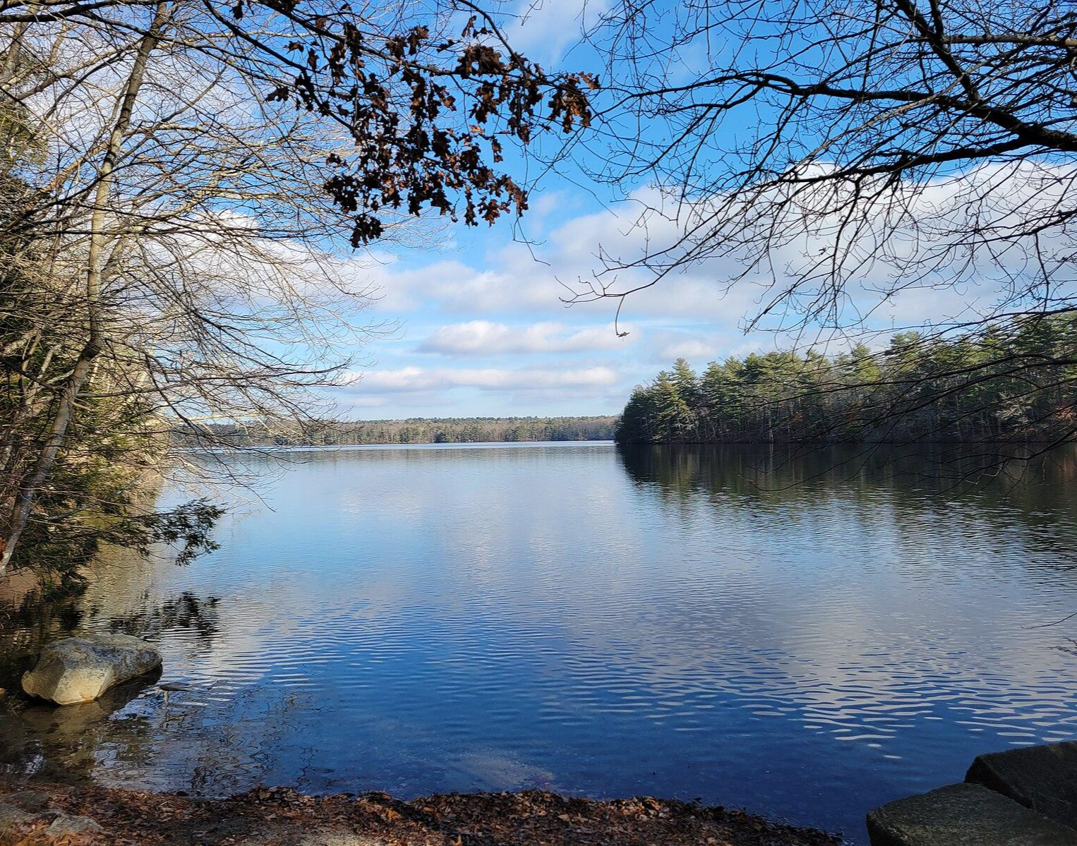
No traffic touring cycling routes in Pachaug State Forest traverse Connecticut's largest state forest, spanning over 26,000 acres of diverse landscapes. The region features an extensive network of trails, including both paved and unpaved surfaces like dirt and gravel multi-use paths suitable for touring bikes. Cyclists can expect varied terrain, from smooth sections to areas with roots and rocks, alongside moderate elevation changes. The forest is characterized by dense woodlands, numerous ponds, streams, and the meandering Pachaug River.
Best no traffic touring cycling routes in Pachaug State Forest
- The most popular no traffic touring cycling route is Stone Hill – Mount Misery loop from Thomas Wilcox Plot, a 12.6 miles (20.3 km) trail that takes 1 hour 44 minutes to complete. This route offers varied terrain and climbs to the Mount Misery Overlook.
- Another top favourite among local touring cyclists is Arcadia Management Area gravel loop, a moderate 14.6 miles (23.4 km) path. This route explores gravel surfaces through forested areas, providing a classic touring experience.
- Local touring cyclists also love the Arcadia Management Area loop from Midway Parking, a 6.3 miles (10.2 km) trail leading through woodlands and alongside water bodies, often completed in about 59 minutes.
- Touring cycling in Pachaug State Forest is defined by extensive woodlands, diverse multi-use trails, and numerous ponds and rivers. The network offers options for various ability levels, from easy loops to more challenging routes with significant elevation gain.
- The routes in Pachaug State Forest are highly rated by the komoot community with an average score of 2.0 stars from over 1 review. More than 21 touring cyclists have used komoot to explore Pachaug State Forest's varied terrain.
Last updated: July 6, 2026
3
riders
20.3km
01:44
200m
200m
Moderate bike ride. Good fitness required. Mostly paved surfaces. Suitable for all skill levels.
23.4km
01:53
230m
230m
Moderate bike ride. Good fitness required. Mostly paved surfaces. Suitable for all skill levels.

Sign up for free
6
riders
30.1km
02:58
420m
420m
Moderate bike ride. Good fitness required. Mostly paved surfaces. Suitable for all skill levels.
3
riders
10.2km
01:00
110m
110m
Easy bike ride. Great for any fitness level. Mostly paved surfaces. Suitable for all skill levels.
21.3km
01:31
150m
150m
Easy bike ride. Great for any fitness level. Mostly paved surfaces. Suitable for all skill levels.
Get access to more routes and recommendations from other explorers.
Sign up for free
Already have an account?
Our route recommendations are based on thousands of hikes, rides, and runs completed by other people on komoot.
Start today with a free account
Your next adventure awaits.
Login or Signup


Other adventures in Pachaug State Forest

Tips from the Community

This is a great spot for families, as Frosty Hollow Pond is a kids-only, trout-stocked pond. There's a parking area next to it, and it can also be a nice place to sit by the pond while having a snack.
1
0

Arcadia is by far the largest recreation area in Rhode Island. Whether you like hiking, mountain biking, fishing, paddling, or even horseback riding, you can pursue all of these hobbies here. The numerous idyllic ponds offer beautiful sandy beaches and there are also a number of campgrounds.
0
0

Breakheart Pond is a small reservoir in the Arcadia State Management Area that is right next to a major trailhead. There is a singletrack trail that hugs the banks of the pond and creates a popular loop. There are a lot of other popular trails with more hills and forest scenes that connect to the path circling the pond (aka, Hicks Trail).
0
0
Breakheart Pond is a small reservoir in the Arcadia State Management Area that is right next to a major trailhead. There is a singletrack trail that hugs the banks of the pond and creates a popular loop. There are a lot of other popular trails with more hills and forest scenes that connect to the path circling the pond (aka, Hicks Trail).
0
0
Arcadia is by far the largest recreation area in Rhode Island. Whether you like hiking, mountain biking, fishing, paddling, or even horseback riding, you can pursue all of these hobbies here. The numerous idyllic ponds offer beautiful sandy beaches and there are also a number of campgrounds.
0
0

This nicely wooded area features a dirt road that guides you to Skunk Hill. Skunk Hill, more of a pleasant area than a steep hill, allows you to access a trail through the woods, offering scenic views of the creek along the way.
0
0

At just 441 feet (130 m) in elevation, Mount Misery is a lot nicer than its name suggests. This is a great place for birding, taking in the best views around (as this is the highest point in the area), or just mainlining yourself into the many miles of walking and running trails.
0
0

Browning Mill Pond is a pretty pond in Arcadia Management Area that is surrounded by awesome mountain bike trails. The whole Arcadia area features a great network of singletracks that range from mildly to challenging. Grab your mountain bike, you will have a blast!
1
0
Frequently Asked Questions
How many no-traffic touring cycling routes are available in Pachaug State Forest?
Pachaug State Forest offers a good selection of traffic-free touring cycling routes. Our guide features 13 distinct routes, ranging from easy to difficult, ensuring options for various skill levels.
What kind of terrain can I expect on the no-traffic touring cycling routes?
The routes in Pachaug State Forest feature a mix of surfaces suitable for touring bikes. You'll encounter both paved and unpaved sections, including dirt and gravel multi-use trails. Some trails, like portions of the Pachaug Multi-Use Trail, may have smooth sections interspersed with rocky areas and roots.
Are there any easy, family-friendly no-traffic routes for touring cyclists?
Yes, there are several easy routes suitable for families. For instance, the Arcadia Management Area loop from Midway Parking is an easy option, covering about 10 km with moderate elevation gain. Another easy choice is the Browning Mill Pond gravel loop, which is around 21 km long.
What are some notable natural features or landmarks I can see along the routes?
Pachaug State Forest is rich in natural beauty. You can explore the unique ecology of the Pachaug-Great Meadow Swamp, a designated National Natural Landmark. For panoramic views, consider routes that offer access to Mount Misery Overlook. The forest also features numerous ponds, streams, and the Pachaug River, as well as the Rhododendron Sanctuary, which is particularly stunning in bloom around July 4th.
Are there any routes that offer significant elevation gain for a more challenging ride?
Yes, for a more challenging experience with significant elevation gain, consider routes like the Trestle Trail gravel loop. This difficult route spans over 50 km and features an elevation gain of over 460 meters, providing a demanding ride through varied terrain.
Where can I park my car when accessing these no-traffic cycling routes?
Pachaug State Forest has various parking areas and trailheads. While specific parking for each route isn't detailed here, general access points for the forest are available. For detailed information on facilities and parking, you can consult the official Connecticut DEEP website for Pachaug State Forest.
What is the best time of year to go touring cycling in Pachaug State Forest?
The best time for touring cycling in Pachaug State Forest is typically during spring, summer, and fall. Spring offers blooming rhododendrons and fresh foliage, while fall provides stunning autumn colors. Summer is also pleasant, though some trails might be shared with motorized users. Always check trail conditions, especially after heavy rain, as some unpaved sections can become muddy.
Are dogs allowed on the no-traffic touring cycling trails?
Generally, dogs are permitted in Pachaug State Forest, but they must be kept on a leash. It's always a good idea to check specific trail regulations or signage at trailheads, as rules can vary. Ensure your dog is comfortable with the terrain and distance of your chosen route.
What do other touring cyclists enjoy most about cycling in Pachaug State Forest?
The komoot community rates the touring cycling experience in Pachaug State Forest with an average score of 2.0 stars. Cyclists often praise the quiet, natural environment, the diverse terrain, and the opportunity to explore Connecticut's largest state forest away from busy roads.
Are there any circular no-traffic touring routes available?
Yes, many of the routes in Pachaug State Forest are designed as loops, offering a circular journey. For example, the Stone Hill – Mount Misery loop from Thomas Wilcox Plot and the Arcadia Management Area gravel loop are both excellent circular options for touring cyclists.
Do I need any special permits or passes to cycle in Pachaug State Forest?
For general recreational use, including cycling, no special permits are typically required for Pachaug State Forest. However, it's always advisable to check the official Connecticut Department of Energy and Environmental Protection (DEEP) website for any updated regulations or specific requirements for certain activities or areas within the forest. You can find more information on the CT DEEP website.
Most popular routes in Pachaug State Forest

Get inspired with the komoot mobile app


Explore more
Browse the best Cycling routes in other regions.
