The best running trails in Pachaug State Forest
5.0
(3)
45
runners
17
runs
Jogging in Pachaug State Forest offers an extensive network of trails across over 26,000 acres, making it a prime destination for outdoor running. The region is characterized by diverse ecosystems, including dense woodlands of oak and maple, unique Atlantic White Cedar Swamps, and riverine systems. Numerous ponds and the Pachaug River wind through the forest, providing varied terrain and scenic views for runners. The varied landscape includes both flat sections and gradually ascending or descending paths, catering to different fitness…
Last updated: June 28, 2026
5
runners
7.93km
01:01
150m
150m
Moderate run. Good fitness required. Mostly paved surfaces. Suitable for all skill levels.
5
runners
6.68km
00:49
60m
60m
Moderate run. Good fitness required. Mostly paved surfaces. Suitable for all skill levels.

Sign up for free
10
runners
5.61km
00:35
60m
60m
Moderate run. Good fitness required. Mostly paved surfaces. Suitable for all skill levels.
4.83km
00:35
10m
10m
Easy run. Great for any fitness level. Mostly paved surfaces. Suitable for all skill levels.
6.17km
00:44
40m
40m
Moderate run. Good fitness required. Mostly paved surfaces. Suitable for all skill levels.
Get access to more routes and recommendations from other explorers.
Sign up for free
Already have an account?
Our route recommendations are based on thousands of hikes, rides, and runs completed by other people on komoot.
Start today with a free account
Your next adventure awaits.
Login or Signup


Other adventures in Pachaug State Forest

Tips from the Community

The Trestle Trail is best known for its 5-mile paved path that shares a route with the Coventry Greenway. This extra section west of the Moosup River leaves the pavement and becomes a rough double-track road. The path is utilized by hikers, runners, cyclists, and ATVs. It also offers access to the Carbuncle Pond area.
0
0
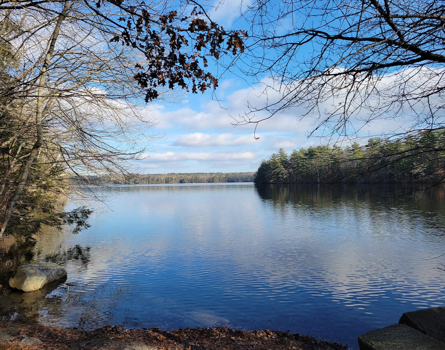
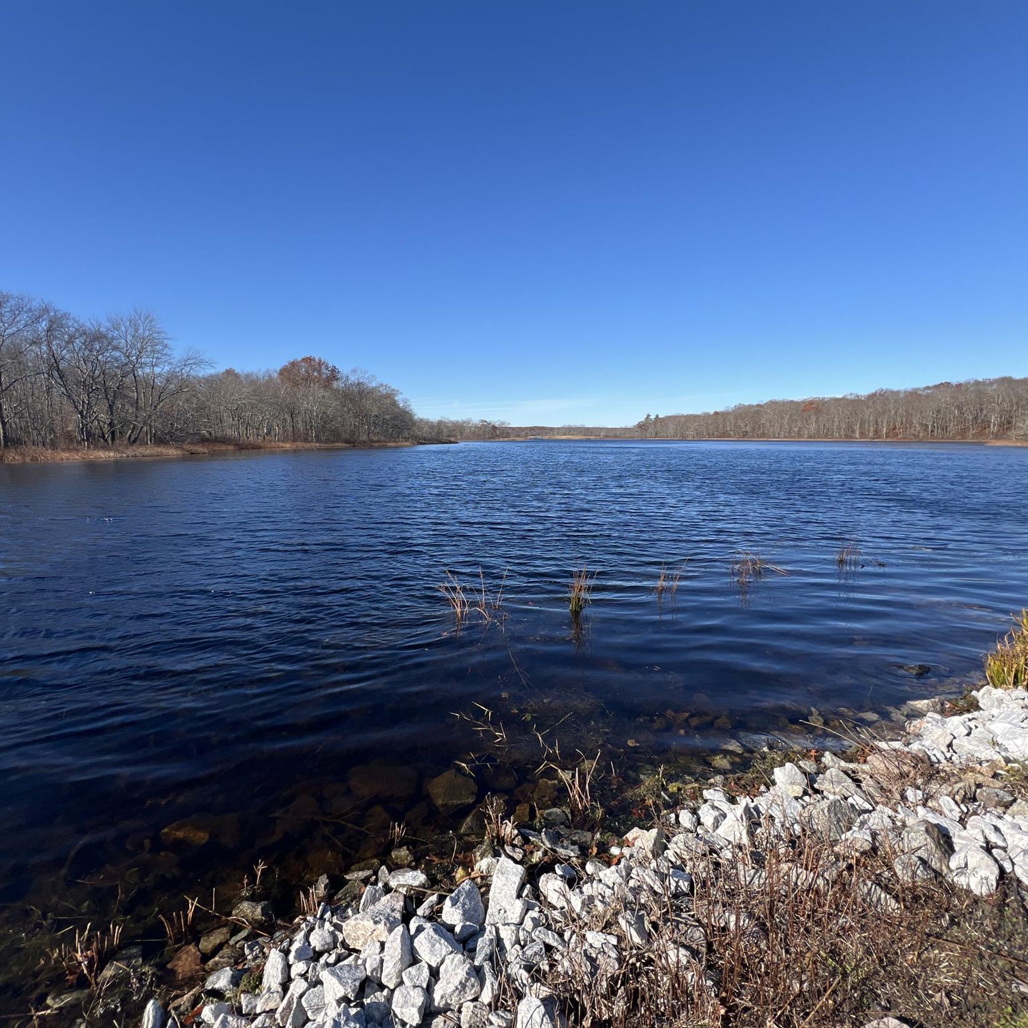
Tillinghast Pond is a small reservoir that serves as the centerpiece of the Tillinghast Pond Management Area. There are multiple trails that leave from the southern end of the pond, and one path even circles around the banks of the water.
0
0
Tillinghast Pond is a small reservoir that serves as the centerpiece of the Tillinghast Pond Management Area. There are multiple trails that leave from the southern end of the pond, and one path even circles around the banks of the water.
0
0
The Trestle Trail is best known for its 5-mile paved path that shares a route with the Coventry Greenway. This extra section west of the Moosup River leaves the pavement and become a rough double-track road. The path is utilized by hikers, runners, cyclists, and ATVs. It also offers access to the Carbuncle Pond area.
0
0
Frequently Asked Questions
How many running routes are available in Pachaug State Forest?
Pachaug State Forest offers a wide selection of running routes. Our guide features 18 distinct routes, catering to various preferences and fitness levels. These include a mix of easy, moderate, and challenging paths through the forest's diverse landscapes.
What kind of terrain can I expect on the jogging trails in Pachaug State Forest?
The terrain in Pachaug State Forest is quite varied, ranging from flat or gradually ascending and descending sections, ideal for steady running, to more challenging paths with some elevation gain. You'll encounter dense woodlands, riverine systems, and areas around scenic ponds. Trails like the Pachaug Trail are known for their relatively flat sections, while others might offer more undulations.
Are there any easy or beginner-friendly jogging routes in Pachaug State Forest?
Yes, Pachaug State Forest has several easy running options perfect for beginners or those seeking a more relaxed pace. For example, the Trestle Trail loop run — Carbuncle Pond is an easy route. The forest's extensive network ensures there are paths suitable for all experience levels, including those with minimal elevation changes.
Can I bring my dog on the running trails in Pachaug State Forest?
Pachaug State Forest is generally dog-friendly, making it a great place to jog with your canine companion. Most trails allow dogs, but it's always recommended to keep them on a leash and practice Leave No Trace principles. Always check for specific signage on individual trails regarding pet policies.
What are some scenic points or natural features to look out for while running in Pachaug State Forest?
Pachaug State Forest is rich in natural beauty. You can enjoy views of several ponds like Beach Pond, Green Fall Pond, and Phillips Pond. The Pachaug River winds through the forest, offering picturesque riverine scenery. For a unique experience, the Rhododendron Sanctuary Trail features a planked wooden boardwalk and is particularly beautiful when the rhododendrons bloom around July. For rewarding elevated views, consider the climb to Mount Misery Overlook.
Are there any loop running routes in Pachaug State Forest?
Yes, many of the running paths in Pachaug State Forest are designed as loops, providing a convenient way to explore without retracing your steps. Examples include the popular Lost Pond loop from North Stonington and the Coney Brook Trail & Tillinghast Pond loop run, which offer varied distances and scenery.
What is the best time of year to go jogging in Pachaug State Forest?
Pachaug State Forest is enjoyable for jogging year-round, but each season offers a different experience. Spring brings blooming rhododendrons and fresh foliage, while autumn showcases vibrant fall colors. Summer is great for shaded runs, and winter, with proper gear, can offer serene, snowy landscapes. Always check local weather conditions before heading out.
Are there any family-friendly running trails in Pachaug State Forest?
Absolutely! Many trails in Pachaug State Forest are suitable for families. The diverse trail system includes options with gentler slopes and shorter distances, perfect for a family outing. The Trestle Trail loop run — Carbuncle Pond is an easy route that could be a good choice for families.
What do other runners enjoy most about jogging in Pachaug State Forest?
The komoot community highly rates the running experience in Pachaug State Forest, with an average score of 5.0 stars. Runners frequently praise the extensive and well-maintained trail system, the peaceful natural environment, and the beautiful scenery, especially around the ponds and through the dense woodlands. The variety of terrain also allows for different types of workouts.
Are there any historical elements or unique ecosystems to discover while running?
Yes, Pachaug State Forest offers more than just scenic trails. You can encounter historical elements like old mill ruins and glacial fields scattered throughout the landscape. The forest also features unique ecosystems, including rare Atlantic White Cedar Swamps, which are designated National Natural Landmarks, adding an interesting dimension to your run.
What are the typical distances for running routes in Pachaug State Forest?
The running routes in Pachaug State Forest vary significantly in length. You can find shorter loops, such as the Running loop from Buttonwood Farm at 3.5 miles (5.6 km), up to longer trails like the Pachaug Trail which spans 28 miles. This variety ensures options for quick jogs or longer endurance runs.
Is parking available at the trailheads in Pachaug State Forest?
While specific trailhead parking details are not always listed for every route, Pachaug State Forest, as a large state forest, generally provides designated parking areas for trail access. It's advisable to check the starting point of your chosen route on komoot or the official state park website for the most accurate parking information.
Most popular routes in Pachaug State Forest

Get inspired with the komoot mobile app


Explore more
Browse the best Running Trails & Routes in other regions.
