Top 2 Gorges in Main-Taunus-Kreis
Canyons in Main-Taunus-Kreis are primarily characterized by picturesque gorges, steep-sided valleys, and notable rock formations within the Taunus low mountain range. This region features diverse landscapes, including dense forests and rolling hills. These geological features in Main-Taunus-Kreis offer natural experiences for visitors. The area is known for its varied terrain, providing opportunities for outdoor activities.
Best canyons in Main-Taunus-Kreis
- The most popular canyons is Silberbach Valley, a gorge where the Silberbach stream flows through a wooded valley. This area…
Last updated: October 4, 2026
Silberbach Valley
Highlight • Gorge
Translated by Google •
Tip by

Rotes Hohlchen
Highlight (Segment) • Gorge
Translated by Google •
Tip by
Sign up now to discover places like this
Get recommendations on the best single tracks, peaks, & plenty of other exciting outdoor places.
Scenic Side Valley Behind Alteburg (Lorsbach, Taunus)
Highlight (Segment) • Gorge
Translated by Google •
Tip by

Heinerbach Gorge
Highlight • Gorge
Translated by Google •
Tip by

Forest singletrack near gorge, Taunus
Highlight (Segment) • Trail
Translated by Google •
Tip by

Gorge
Highlight • Gorge
Showing Translation
Tip by
Deep Gorge
Highlight • Gorge
Showing Translation
Tip by
Start today with a free account
Your next adventure awaits.
Popular around Main-Taunus-Kreis

Delightfully scenic hiking in the Taunus range
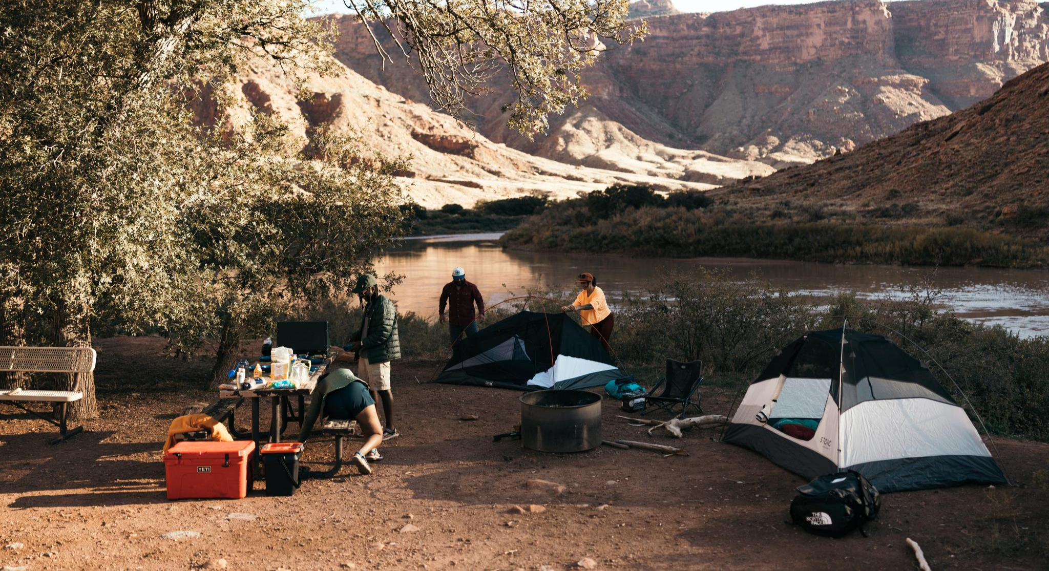
Glamping Adventures on Foot
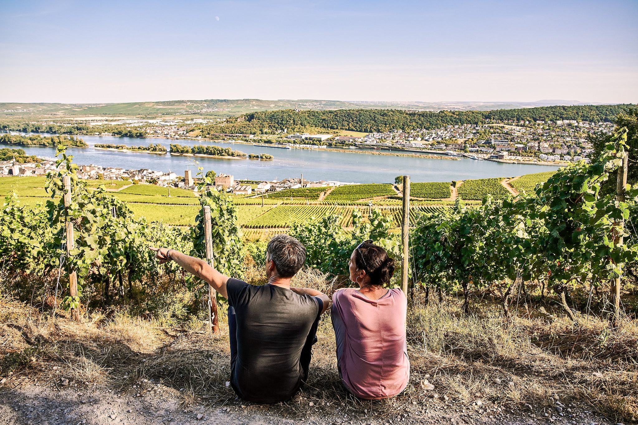
Riesling Loops – 14 routes rich in wine and history

By bike and train into the green - cycling Tours around the EUROBIKE

Orchards, vineyards, taverns – hikes in the RMV area

#GoFurther – discover the views of Germany!
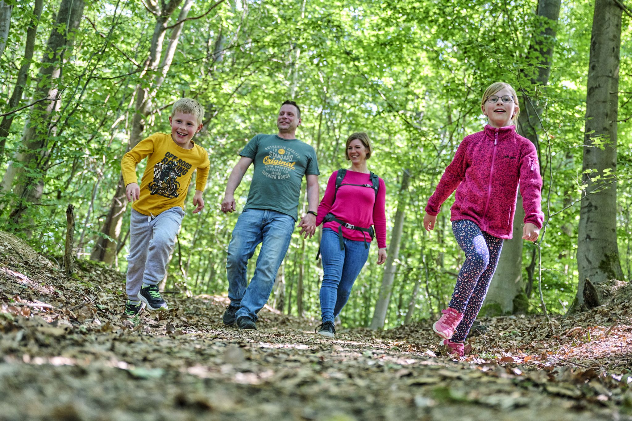
The journey is the adventure – hikes in Germany’s Taunus Mountains

On the Bonifatius Route from Mainz to Fulda

Onto the train, out into the snow – winter hiking for all ages in the Rhine-Main
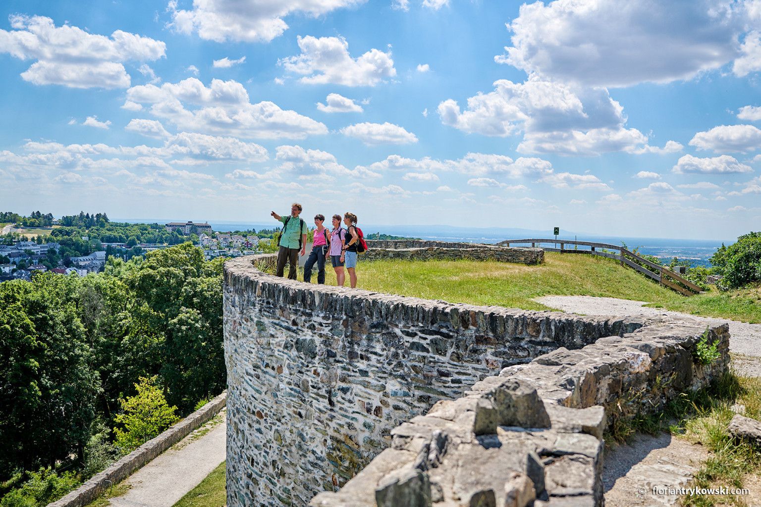
Experience nature and culture — hiking in Germany’s Taunus region
Other adventures in Main-Taunus-Kreis


Tips from the Community

The "gorge" is not the problem from my point of view. However, bikers should be careful, as large and small logs regularly lie on the trail. Partly in a size where considerable skill is already required to get over or around them in the saddle.
0
0

The summit of the mountain spur is enclosed by an oval main rampart. Originally, this was a massive stone-and-earth wall, supported by wooden beams, which offered protection to the high-altitude settlement. Today, this construction is visible in the terrain as a clearly recognizable, overgrown earthwork.
11
1
The region, which is geologically strongly characterized by slate and gneiss, has been rising steadily for millions of years. Flowing waters such as the Emsbach or small streams take advantage of this steep gradient and carve deep into the ground through the erosion-resistant rocks. This deep erosion is intensified by sporadic heavy rainfall events, which cause the water to swell and develop enormous erosive power.
14
1
The region, which is geologically strongly characterized by slate and gneiss, has been steadily rising for millions of years. Flowing waters such as the Emsbach or small streams take advantage of this steep gradient and cut deep into the subsurface through the erosion-resistant rocks. This deep erosion is intensified by sporadic heavy rainfall events, which cause the water to swell and develop enormous erosive power.
10
0
Source & Course: The Silberbach stream rises in the High Taunus mountains near Schloßborn (municipality of Glashütten). From there, it flows southeast through the wooded Silberbach Valley. Mouth: It flows into the Schwarzbach stream, which in its upper reaches, up to its confluence with the Daisbach stream in Eppstein, is often still referred to as the Dattenbach. The mouth of the Schwarzbach lies between Glashütten-Schloßborn and Eppstein-Vockenhausen. Special Features: The Silberbach Valley is considered ecologically valuable and is managed by the BUND (Friends of the Earth Germany) Königstein-Glashütten branch. The name may historically suggest a stony streambed or former mining attempts. Recreation: A popular hiking trail is the Silberbach Loop, which leads from Dattenbach Valley, passing, among other things, the Atzelberg Tower.
8
1
Here you can find traces of the Romans, who used this narrow sunken lane (apparently called "Hohlchen" in Hessian dialect) to travel from Wiesbaden to their camp on the Hochfeld – today within the city limits of Hofheim. The "Rote Hohlchen" (Red Hollow) is now a Hessian cultural monument, having been filled in for some time and then uncovered a few years ago.
19
1
There's a really nice trail here. Unfortunately, there are a few trees in it now, and it's not so easy to ride anymore.
11
1
Three kilometers north of the Wiesbadener Kreuz, the intersection of the A3 and A66 motorways, we walked a short distance in the footsteps of the Romans, who used the narrow hollow road (apparently "Hohlchen" in Hessian) to travel from Wiesbaden to their camp on the Hochfeld – today within the territory of the city of Hofheim. The "Rote Hohlchen" (Red Hollow) is now a Hessian cultural monument, having been filled in for some time and then uncovered a few years ago.
15
1
Frequently Asked Questions
What are the notable gorges and valleys to explore in Main-Taunus-Kreis?
The Main-Taunus-Kreis features several picturesque gorges and steep-sided valleys. Key areas include the Silberbach Valley, known for its ecological value and popular hiking loop, and the Heinerbach Gorge, where the Heinerbach stream has carved a deep channel through the forest. Another interesting spot is the Kassernbach Ravine, which leads towards the Hochheimer Stadtwald.
Are there family-friendly gorges or valleys in the Main-Taunus-Kreis?
Yes, the Silberbach Valley is considered family-friendly, offering a pleasant environment for walks and breaks by the stream. Additionally, the Dachsbau Rock Formation, while not a gorge itself, is a natural monument within the region that is accessible via a path and offers opportunities for harmless climbing, making it suitable for families.
What kind of natural features can I expect to see in these gorges?
You can expect to see deep channels carved by streams, dense forests, and unique geological formations. Areas like the Heinerbach Gorge showcase how water has incised the landscape. The region is part of the Taunus low mountain range, characterized by forested slopes, diverse landscapes, and mossy rock formations, especially in higher elevations.
Are there any historical sites near the gorges in Main-Taunus-Kreis?
Yes, some natural areas are intertwined with historical significance. For instance, near one of the gorges (highlight 8460447), there's mention of a region geologically characterized by slate and gneiss, with a mountain spur enclosed by an oval main rampart, indicating a former high-altitude settlement. The Kassernbach Ravine also has Roman historical connections, with a narrow hollow road used by Romans.
What is the best time of year to visit the gorges in Main-Taunus-Kreis?
The gorges and valleys in Main-Taunus-Kreis are beautiful year-round. Spring offers lush greenery and wildflowers, while summer provides cool, shaded paths. Autumn brings vibrant foliage, and even in winter, a snowy landscape can be picturesque. For comfortable hiking, spring through autumn is generally ideal.
Are there hiking trails suitable for different skill levels?
Yes, the region offers a mix of trails. The Silberbach Valley provides intermediate trails, while the Scenic Side Valley Behind Alteburg is described as challenging due to steep slopes and potential obstacles like fallen trees. Many trails through the Taunus Nature Park offer both accessible paths and more demanding routes.
What outdoor activities can I do near these gorges?
Beyond exploring the gorges themselves, the Main-Taunus-Kreis offers a variety of outdoor activities. You can find numerous running trails, such as those detailed in the Running Trails in Main-Taunus-Kreis guide. For cyclists, there are many traffic-free bike rides, including routes like the 'View of the Taunus – Lange Meile loop from Eschborn' or 'View of Frankfurt Skyline – Liederbach Corn Maze loop from Kriftel', which you can find in the Traffic-free bike rides in Main-Taunus-Kreis guide.
Are there any loop trails for hiking in the gorges?
Yes, for example, the Silberbach Valley is known for its popular Silberbach Loop, which starts from the Dattenbach Valley and passes by landmarks like the Atzelberg Tower. This allows for a circular hiking experience through the natural beauty of the area.
What should I wear for a hike in the gorges?
Given the varied terrain, including potentially deep channels and forest paths, sturdy hiking shoes with good grip are recommended. Layered clothing is advisable to adapt to changing weather conditions, and depending on the season, rain gear might be useful. For challenging trails, consider trekking poles.
What do visitors enjoy most about the gorges in Main-Taunus-Kreis?
Visitors appreciate the tranquil natural settings, the opportunity for peaceful walks along streams, and the distinctive geological features. Many enjoy the blend of natural beauty with accessible paths, making these areas ideal for a break or a longer hiking excursion. The ecological value and the chance to connect with nature are frequently highlighted.
Are there any less-known gorges or valleys worth exploring?
While not always explicitly named as 'hidden,' areas like the Scenic Side Valley Behind Alteburg offer a more secluded experience, with paths leading steadily uphill above a small stream through steep-sided terrain. These less-trafficked spots provide a quiet escape into nature.
Most popular routes in Main-Taunus-Kreis
Most popular attractions in Main-Taunus-Kreis

Get inspired with the komoot mobile app


Didn’t find what you were looking for?
Want to see even more gorges? See the best ones in Main-Taunus-Kreis region by region:
Explore more
Already discovered everything in this region? See additional gorges in Main-Taunus-Kreis for your next adventure:
