The best road cycling routes in Main-Taunus-Kreis
4.5
(1033)
14,868
riders
256
rides
Road cycling in Main-Taunus-Kreis features a varied topography, encompassing both the hilly Taunus mountains and serene paths along the Main River. The region offers challenging climbs in the Taunus, including ascents towards the Großer Feldberg, alongside flatter routes through the Rhine-Main Plain. Cyclists can navigate well-maintained paths that traverse vineyards, open fields, and historic villages. This diverse landscape provides a range of road cycling experiences.
Best road cycling routes in Main-Taunus-Kreis
- The most popular road cycling route is Friedensbrücke —…
Last updated: October 5, 2026
4.4
(63)
1,279
riders
67.8km
02:41
200m
200m
Moderate road ride. Good fitness required. Some segments of this route may be unpaved and difficult to ride.
4.4
(29)
698
riders
84.7km
03:30
170m
170m
Moderate road ride. Good fitness required. Some segments of this route may be unpaved and difficult to ride.

4.7
(34)
530
riders
54.5km
02:51
960m
960m
Hard road ride. Very good fitness required. Mostly well-paved surfaces and easy to ride.
4.6
(41)
355
riders
42.4km
01:47
100m
100m
Easy road ride. Great for any fitness level. Mostly well-paved surfaces and easy to ride.
4.9
(11)
382
riders
Hard road ride. Very good fitness required. Mostly well-paved surfaces and easy to ride.
4.4
(61)
322
riders
28.9km
01:16
240m
240m
Easy road ride. Great for any fitness level. Mostly well-paved surfaces and easy to ride.
4.2
(32)
432
riders
Moderate road ride. Good fitness required. Some segments of this route may be unpaved and difficult to ride.
4.7
(11)
379
riders
49.6km
02:05
130m
130m
Moderate road ride. Good fitness required. Mostly well-paved surfaces and easy to ride.
4.2
(15)
284
riders
Moderate road ride. Good fitness required. Mostly well-paved surfaces and easy to ride.
4.4
(12)
204
riders
Moderate road ride. Good fitness required. Mostly well-paved surfaces and easy to ride.
Get access to more routes and recommendations from other explorers.
Already have an account?
Our route recommendations are based on thousands of hikes, rides, and runs completed by other people on komoot.
Start today with a free account
Your next adventure awaits.
Popular around Main-Taunus-Kreis
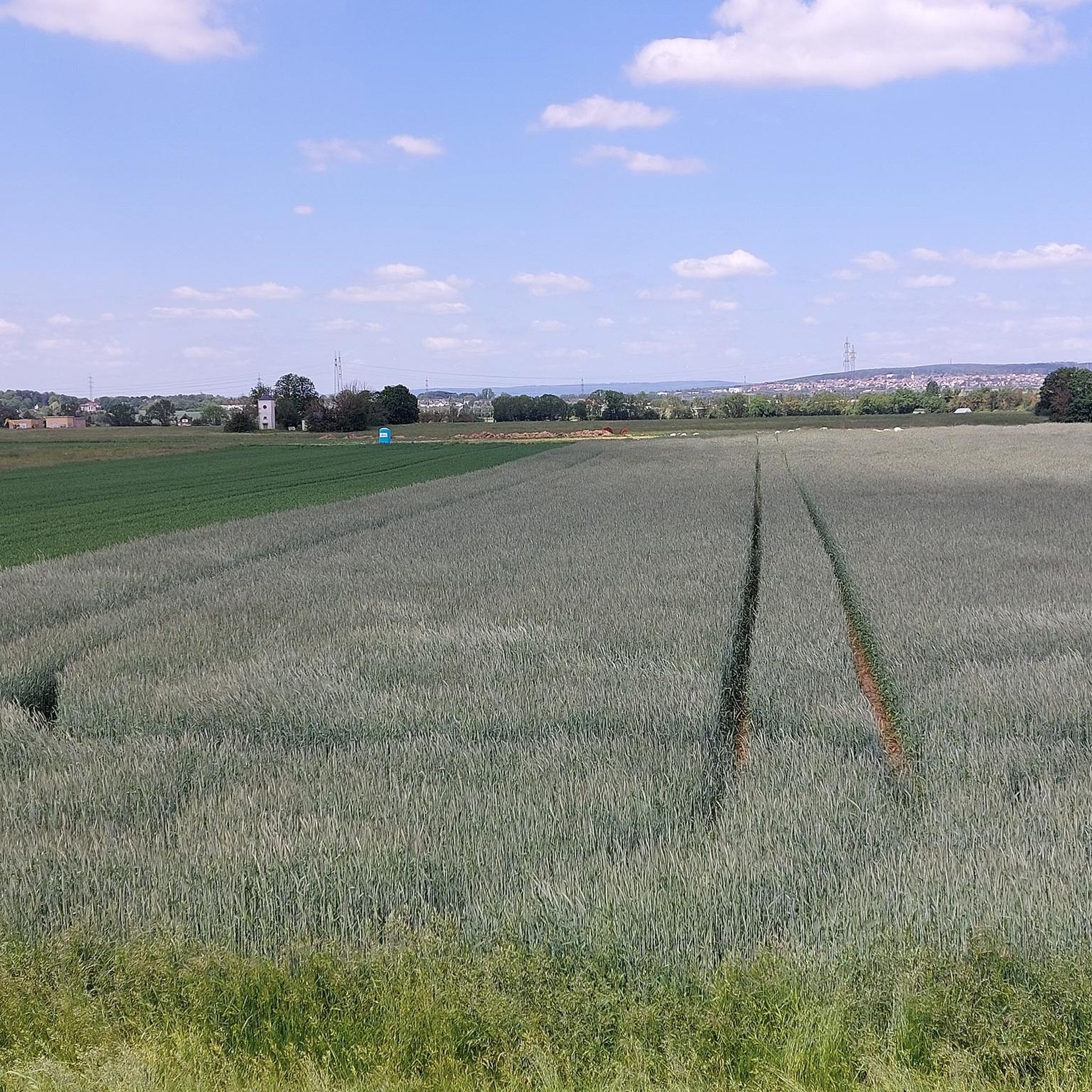
Road Cycling Routes around Hattersheim
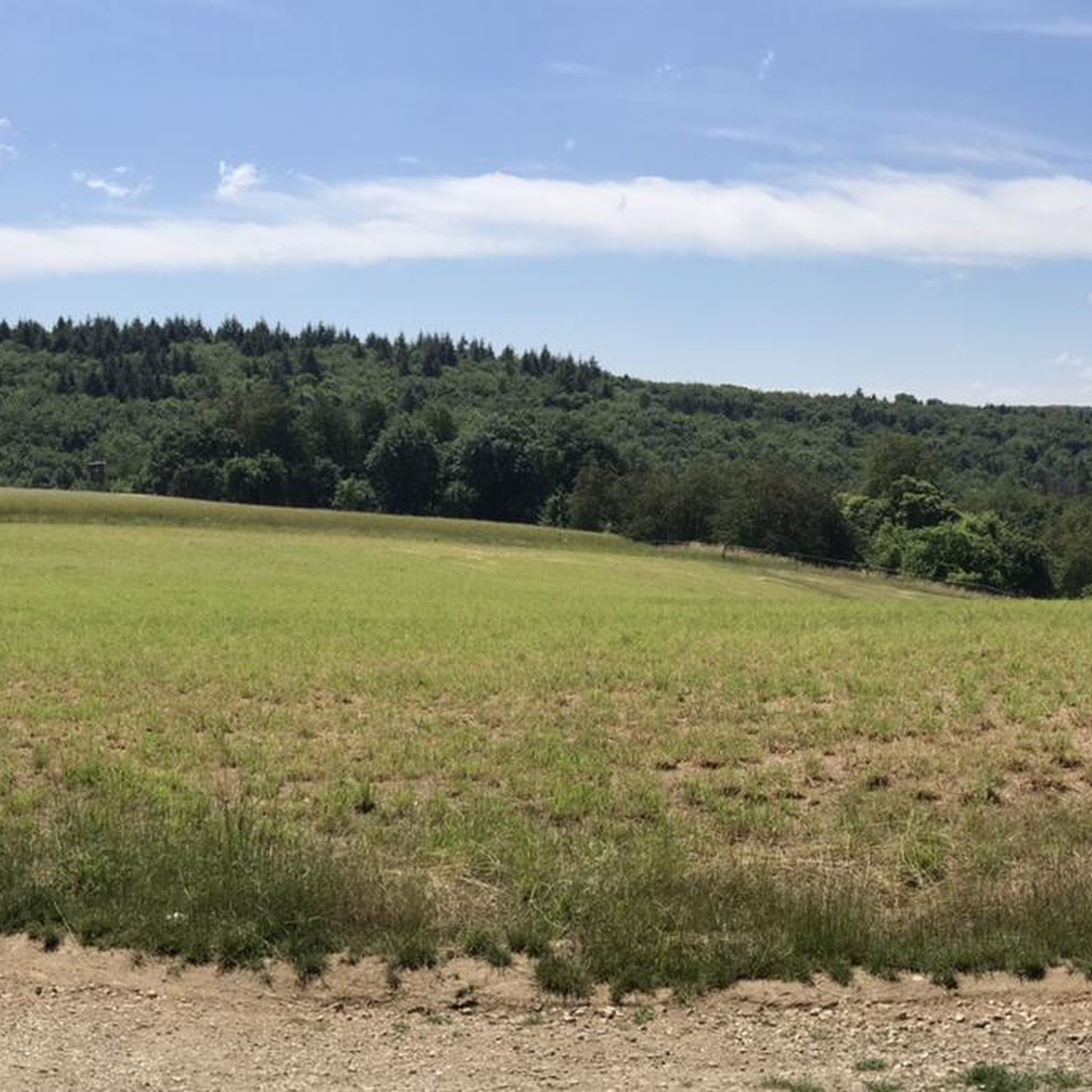
Road Cycling Routes in Stadtwald Hofheim
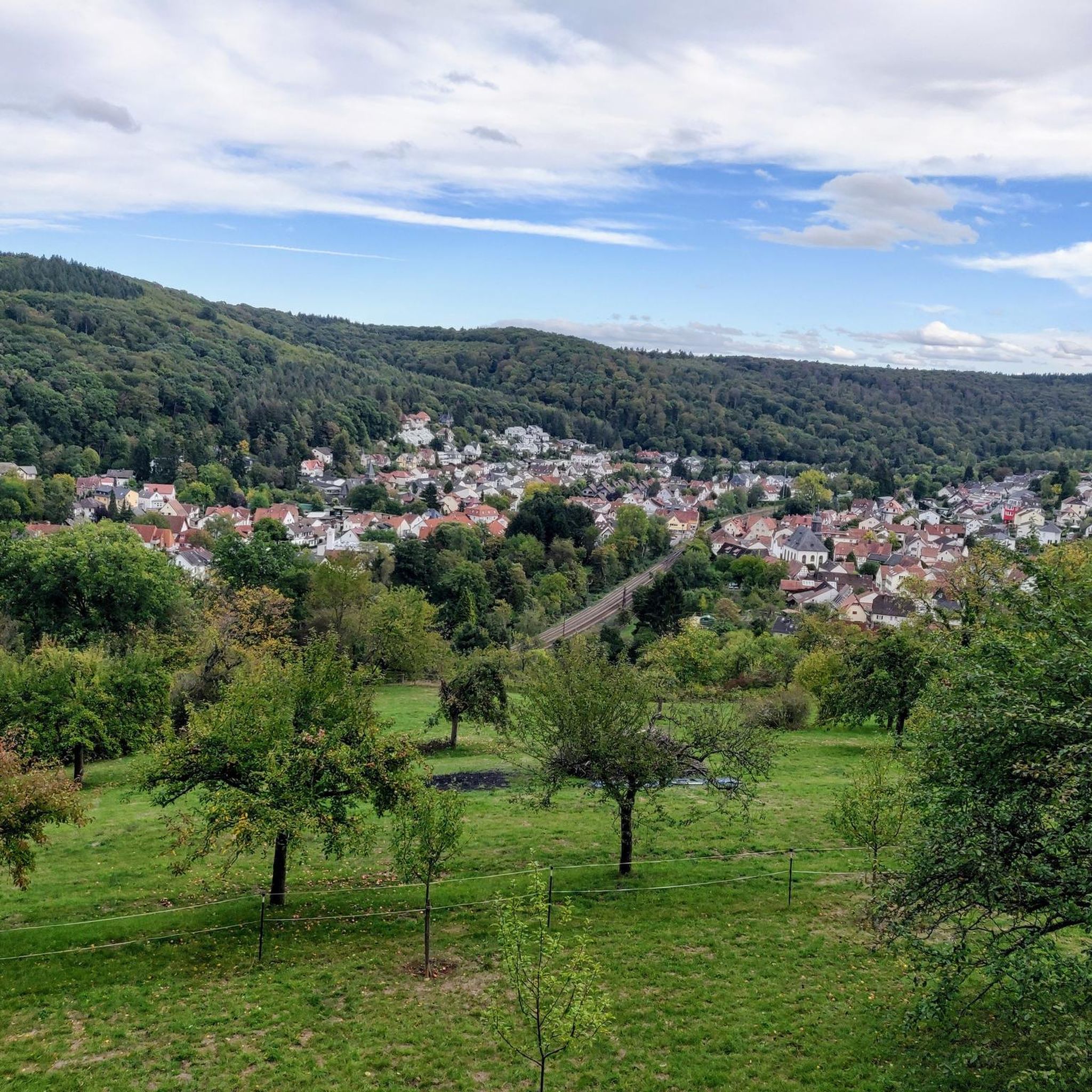
Road Cycling Routes around Hofheim am Taunus
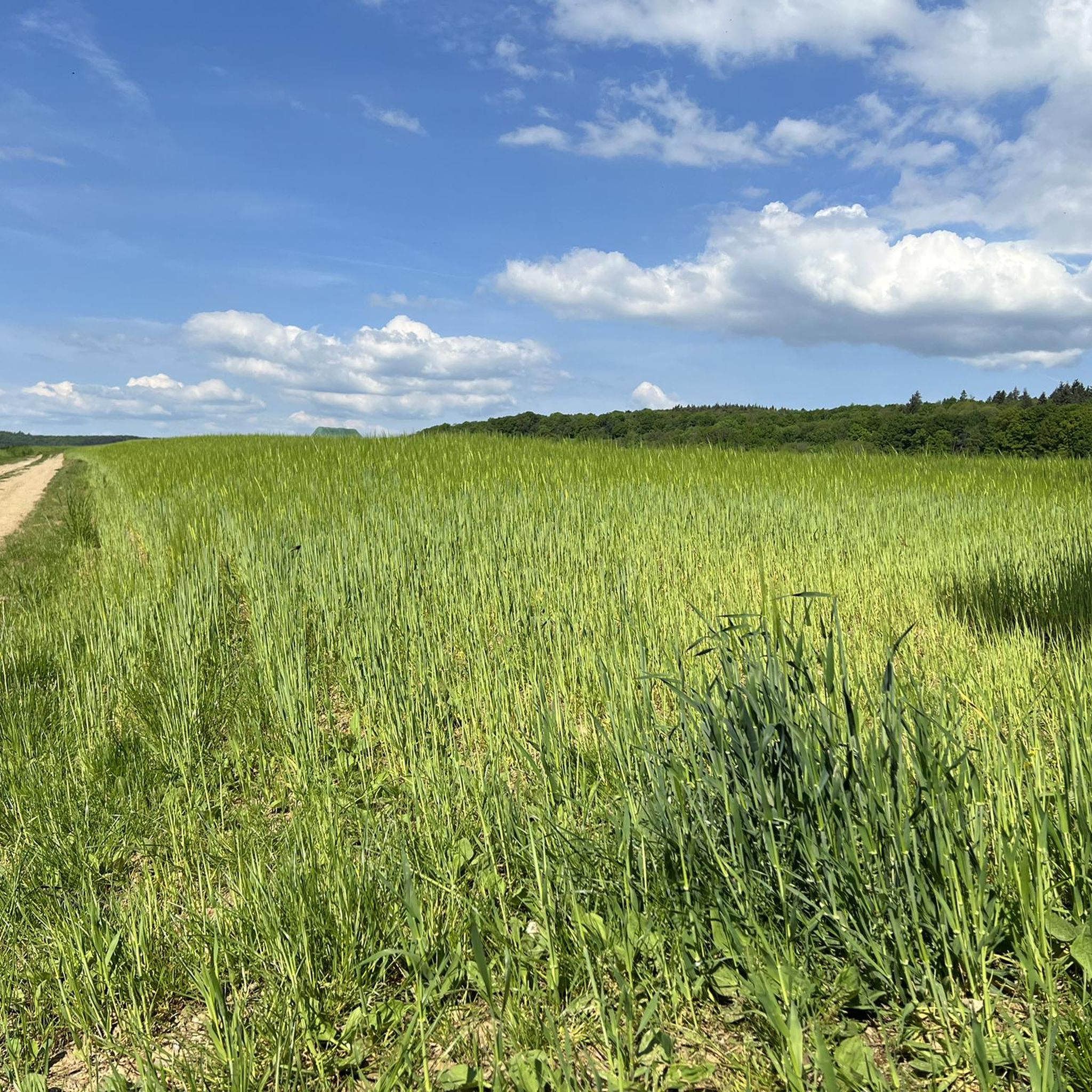
Road Cycling Routes around Kelkheim
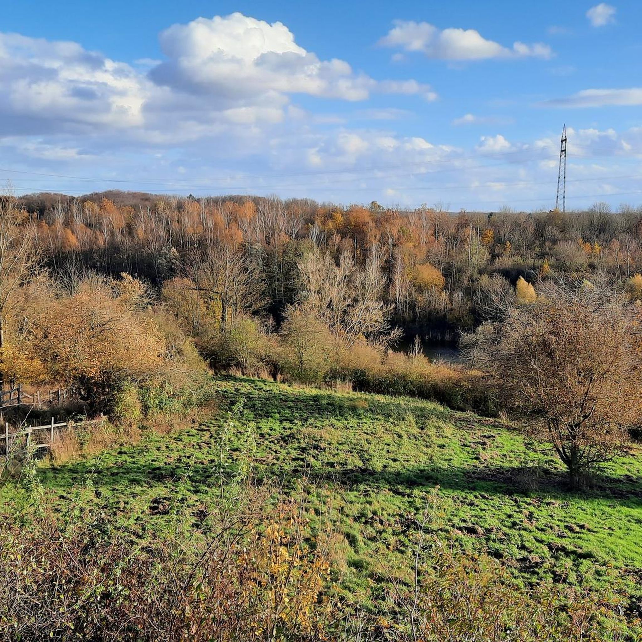
Road Cycling Routes around Flörsheim
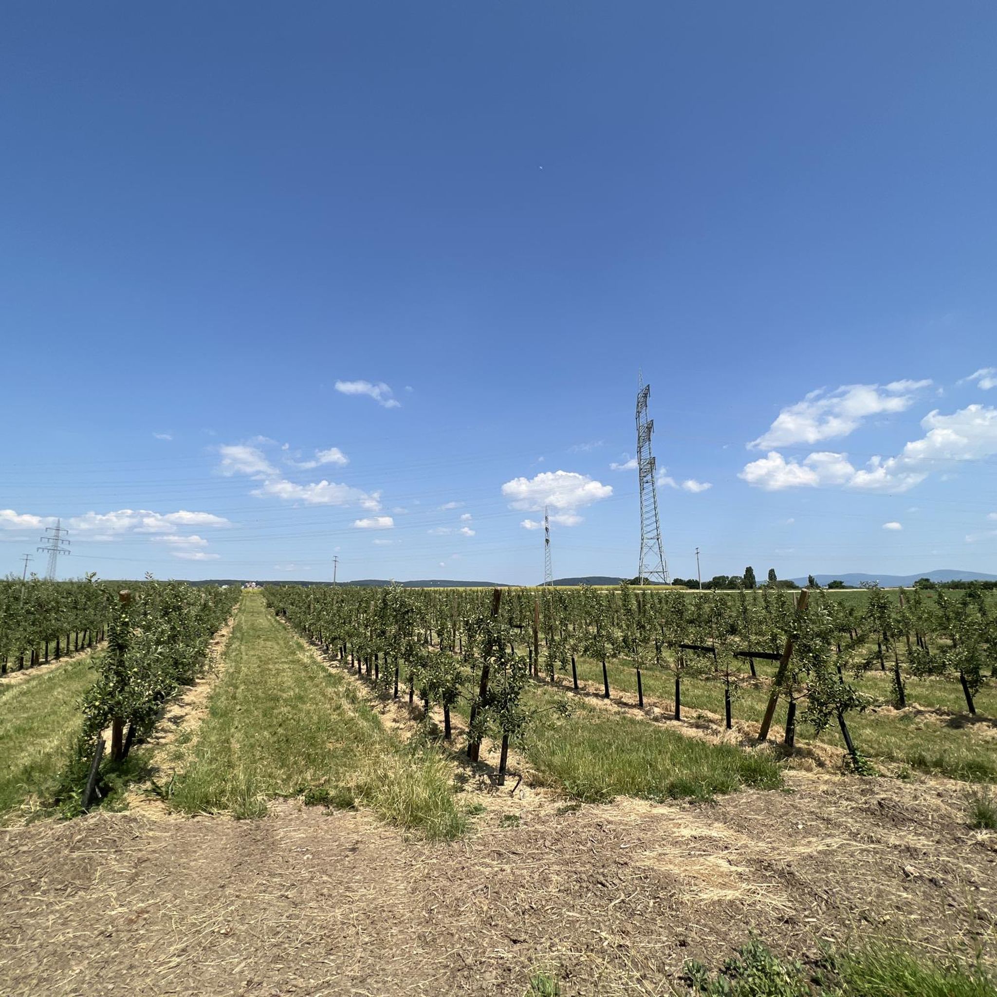
Road Cycling Routes around Kriftel
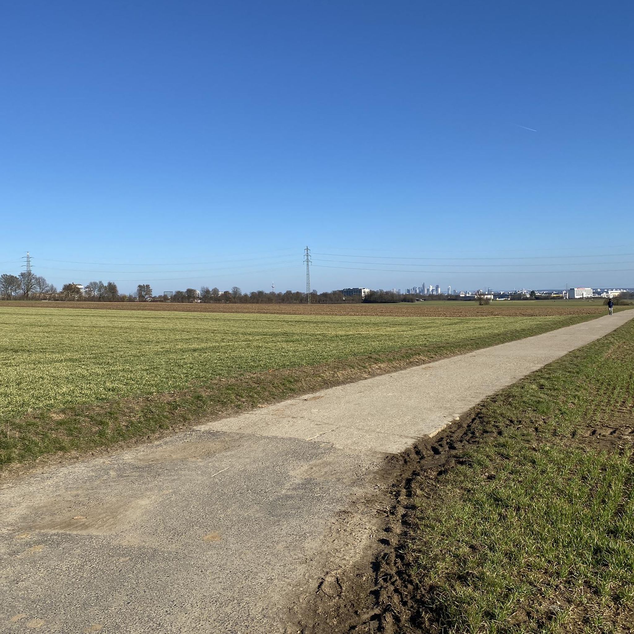
Road Cycling Routes around Liederbach am Taunus
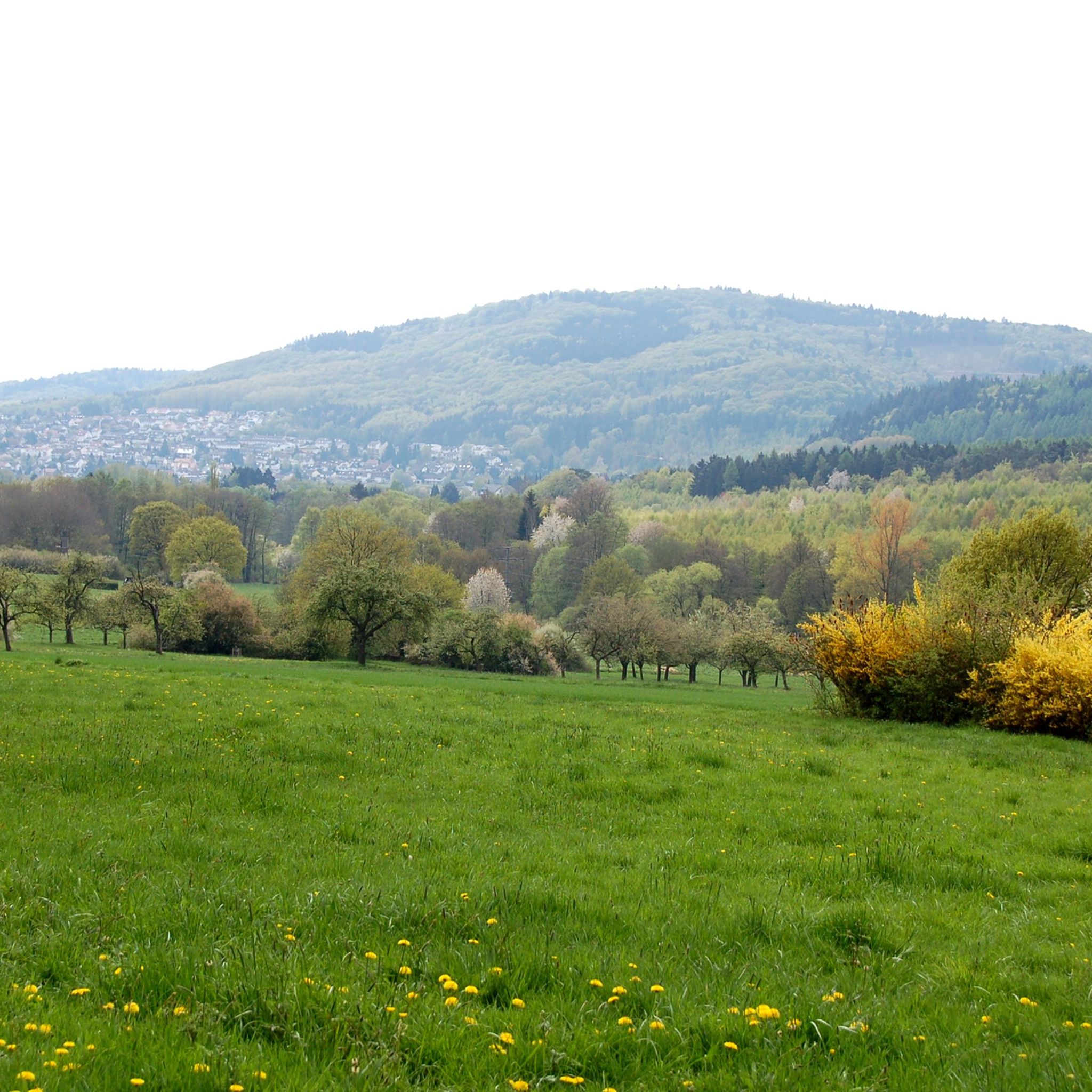
Road Cycling Routes around Eppstein
Road Cycling Routes around Bad Soden am Taunus
Road Cycling Routes around Eschborn
Other adventures in Main-Taunus-Kreis


Tips from the Community

Beautiful country road where you can also race along (if there is no strong headwind).
0
0

Great viewing platform for air spotting
0
0

This perspective describes the absolute center of the Hofheim old town at the distinctive Y-junction of the main street. Photographically and architecturally, this is referred to as the classic sightline to the historic ensemble of the Old Town Hall (Hauptstraße 40) and the towering spire of the Catholic parish church of St. Peter and Paul, built in the 15th century. This picturesque location in the pedestrian zone combines the distinctive half-timbering of the town hall, built in 1529, the babbling historic fountain, and the historic backdrop to form one of the most beautiful and most frequently photographed postcard motifs in the entire city.
10
0

Third highlight on the same building! 🤦♂️
1
0

Altrhein near Ginsheim with harbor. Pedal boats and small cafes.
0
0

Good starting point for medium-length summit tours
0
0
With a total length of 527 kilometers, the Main is the longest right-hand tributary of the Rhine and flows as a lifeline through the heart of the entire Rhine-Main region. It officially originates near Kulmbach in Bavaria through the confluence of its two source rivers, the Red Main and the White Main. On its westward journey, the river winds in characteristic loops through Franconia and Hesse, past major metropolises such as Würzburg, Offenbach, and Frankfurt, before finally flowing into the Rhine near Mainz-Kastel (opposite Mainz). For the region, the Main holds immense economic importance as a major shipping route, as it forms a continuous waterway from the North Sea to the Black Sea via the Main-Danube Canal. In addition to its industrial role, the river has been transformed over the past decades into one of the most important areas for local recreation and culture. Kilometers of green spaces stretch along its banks, such as the Frankfurt Mainufer or the promenades in Rüsselsheim and Höchst, offering space for sports, gastronomy, and relaxation. The popular, largely flat Main Cycle Path accompanies the river along its entire length, connecting historic old towns, wine regions, and modern cityscapes. Furthermore, the river significantly shapes the region's climate and nature and serves as a habitat for numerous protected water birds and fish species.
10
0
Here is an interesting information sign Leuna Bridge - View of the industrial park Downstream on the Main, the eastern part of the Höchst Industrial Park can be seen. In the south of the area, which covers over four square kilometers, research and logistics are located, while in the older northern factory there is production, administration, and infrastructure. An important connecting artery is the central factory bridge, which has spanned the Main since 1959. To the right rise the chimneys of the gas power plant completed in 2023. Immediately to the right of the bridge, you will see the fully automated river water plant, which was commissioned in 2023. Leuna Bridge - View of the Höchst district Above the redesigned banks of the Main rises the old town of Höchst. Striking viewpoints are the castle, resting on medieval foundations with its slender, towering keep, the customs tower, and the Bolongaropalast, built in the second half of the 18th century. From the Carolingian era dates the oldest surviving religious building north of the Alps in this completeness, St. Justin's Church, built between 830 and 850.
9
0
Frequently Asked Questions
What kind of terrain can I expect when road cycling in Main-Taunus-Kreis?
Main-Taunus-Kreis offers a diverse landscape for road cyclists. You'll find challenging climbs in the hilly Taunus mountains, including ascents towards the Großer Feldberg, which is the highest mountain in the Rhine-Main region. Additionally, there are serene, well-maintained paths along the Main River, offering idyllic panoramas and flatter sections through the Rhine-Main Plain. Routes often traverse vineyards, open fields, and charming historic villages.
Are there road cycling routes suitable for beginners or those seeking an easier ride?
Yes, Main-Taunus-Kreis provides options for various fitness levels. For an easier ride, consider routes that stick to the river plains. An example is the KelsterBar on the banks of the Main – Mönchbruch Hunting Lodge loop from Flörsheim(Main), which is 42.5 km long with minimal elevation gain.
Where can I find challenging road cycling routes in the region?
For a more rigorous experience, focus on the Taunus mountains. The region is known for its demanding climbs. A difficult route that includes significant elevation gain is the Großer Feldberg Summit – Ascent to Kleiner Feldberg loop from Liederbach, covering 47.9 km with over 900 meters of ascent.
What are the best times of year for road cycling in Main-Taunus-Kreis?
The most pleasant seasons for road cycling in Main-Taunus-Kreis are spring (April to June) and autumn (September to October). During these months, you can expect mild temperatures and generally favorable weather conditions for longer rides.
Are there any scenic viewpoints or natural attractions along the road cycling routes?
Many routes offer beautiful views and pass by natural attractions. You can enjoy breathtaking views of the entire Taunus region from the Großer Feldberg. Additionally, routes along the Main River provide idyllic panoramas. For specific viewpoints, consider visiting the Großer Mannstein (Staufenschwur Lookout) or the View from the Atzelberg Tower.
Can I find routes that pass through historic towns or cultural sites?
Absolutely. Road cycling routes in Main-Taunus-Kreis often weave through areas rich in culture and history. You'll encounter charming villages, historic buildings, and impressive vineyards. Routes frequently pass through towns like Hochheim and Delkenheim, offering opportunities to explore local culture. The View of the Feldberg – Idstein Old Town loop from Hattersheim (Main), for example, takes you towards the historic Idstein Old Town.
Are there any long-distance road cycling paths that pass through Main-Taunus-Kreis?
Yes, the Main-Taunus-Kreis is part of the broader cycling network. The Saar-Mosel-Main long-distance cycle path (D-Route 5) runs through the area, offering connections for longer tours beyond the immediate region.
What do other road cyclists enjoy most about the routes in Main-Taunus-Kreis?
The road cycling routes in Main-Taunus-Kreis are highly rated by the komoot community, with an average score of 4.5 stars from over 790 reviews. Cyclists often praise the varied terrain, which combines challenging mountain climbs with scenic river paths, and the well-maintained routes that pass through picturesque landscapes and charming villages.
Are there any circular road cycling routes available?
Many of the routes in Main-Taunus-Kreis are designed as loops, allowing you to start and end at the same point. An example is the Cycle expressway along the Rhine embankment – The Main River at Kostheim loop from Kriftel, a 83.9 km route that offers a comprehensive tour along the river.
What kind of facilities or stops can I expect along the routes?
Routes often pass through charming villages and towns where you can find cafes, restaurants, and other facilities for a break. The presence of vineyards also suggests opportunities for local stops. While specific cafes aren't listed, the regional research indicates that routes are designed to allow for breaks at significant sites and in towns.
How many road cycling routes are available in Main-Taunus-Kreis?
There are over 240 road cycling routes available in Main-Taunus-Kreis, catering to a wide range of abilities from easy to difficult. This extensive network ensures plenty of options for exploration.
Can I find routes that offer views of the Frankfurt skyline?
Yes, some routes in the Main-Taunus-Kreis, particularly those in the Rhine-Main Plain area or from higher vantage points in the Taunus, offer views of the Frankfurt skyline, adding an urban vista to the natural beauty. The KelsterBar on the banks of the Main – Viewpoint of Frankfurt Airport loop from Bad Soden provides views towards the airport and surrounding areas, which can include parts of the skyline.
Most popular routes in Main-Taunus-Kreis
Most popular attractions in Main-Taunus-Kreis

Get inspired with the komoot mobile app


Didn’t find what you were looking for?
Check out more Road cycling routes throughout Main-Taunus-Kreis below and find the perfect route in your destination.
Explore more
Browse the best Road cycling routes in other regions.
