Top 2 Mountain Passes around Santo António Da Serra
Best mountain passes around Santo António Da Serra are characterized by elevated routes and viewpoints rather than traditional passes. This village, situated on a plateau at approximately 700 meters altitude in eastern Madeira, offers expansive mountain views and lush landscapes. Its network of scenic routes and hiking trails provides experiences akin to mountain passes, connecting different parts of the island. The area is known for its "levadas," irrigation channels that double as accessible walking paths through diverse natural features, including…
Last updated: May 13, 2026
Boca do Risco
Highlight • Mountain Pass
Translated by Google •
Tip by

Cabeça do Urso
Highlight • Trail
Translated by Google •
Tip by

Sign up now to discover places like this
Get recommendations on the best single tracks, peaks, & plenty of other exciting outdoor places.
Sign up for free
Vereda da Encumeada
Highlight • Trail
Translated by Google •
Tip by

Saddle
Highlight • Mountain Pass
Translated by Google •
Tip by

PR1 Vereda do Areeiro (Pico do Areeiro to Pico Ruivo Trail)
Highlight • Trail
Translated by Google •
Tip by

Start today with a free account
Your next adventure awaits.
Login or Signup

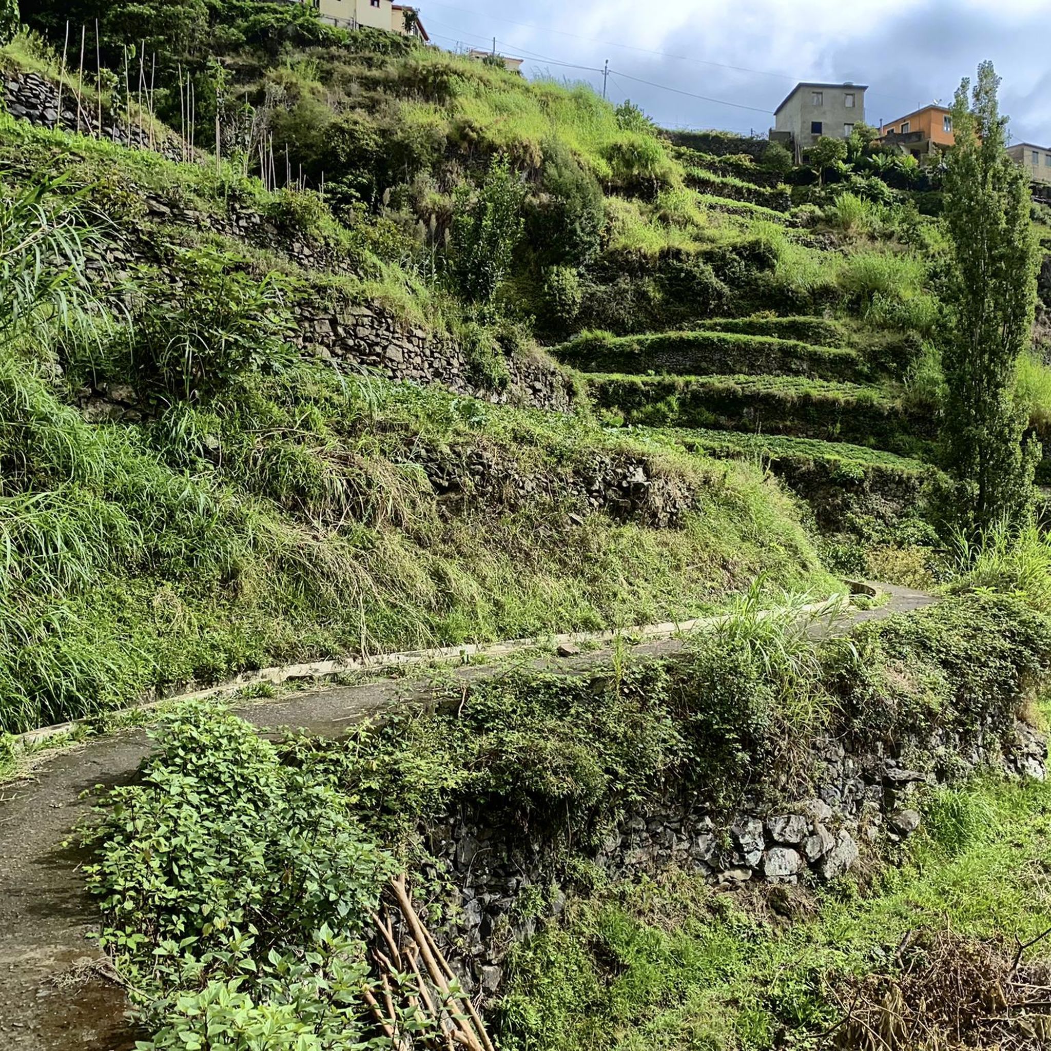
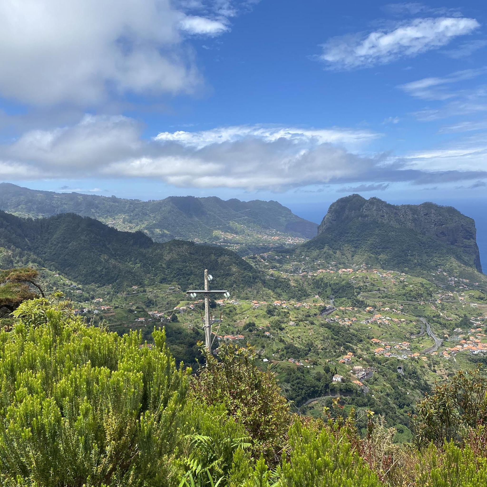
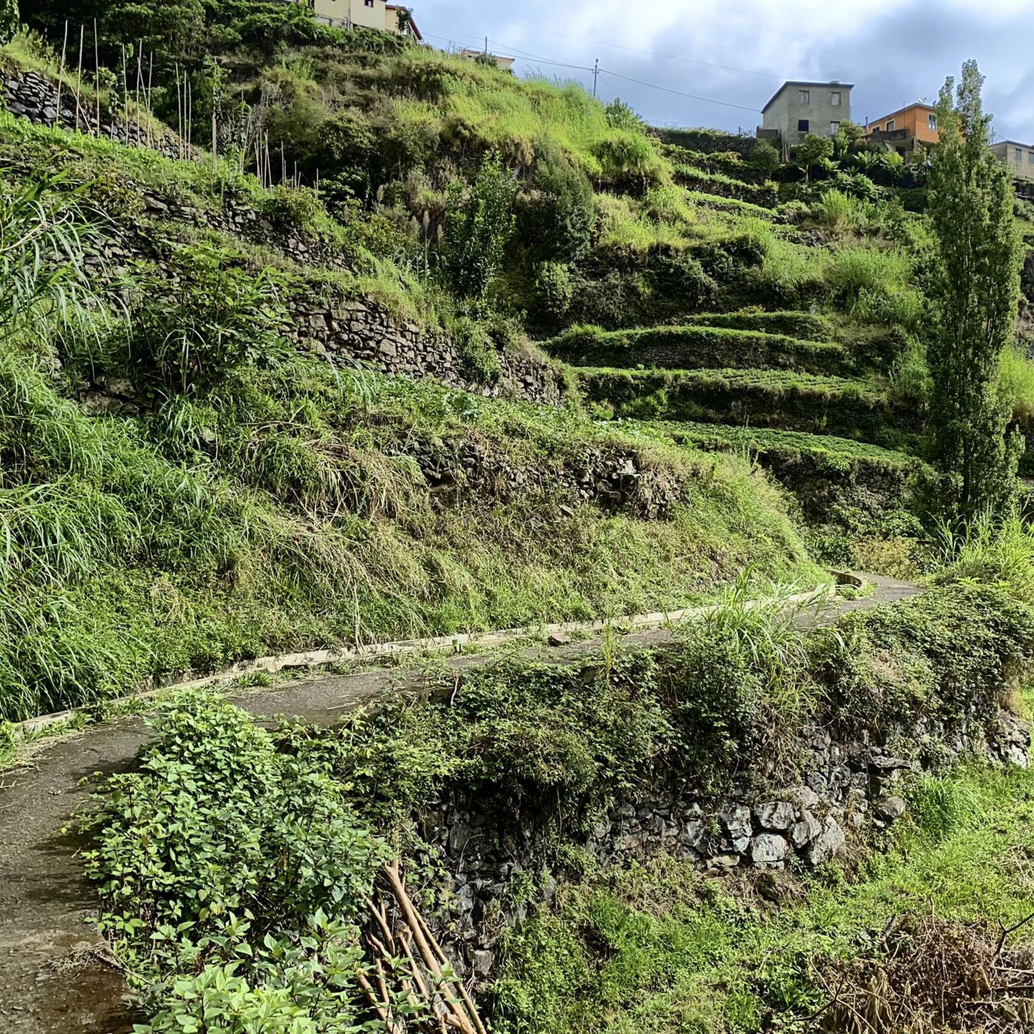
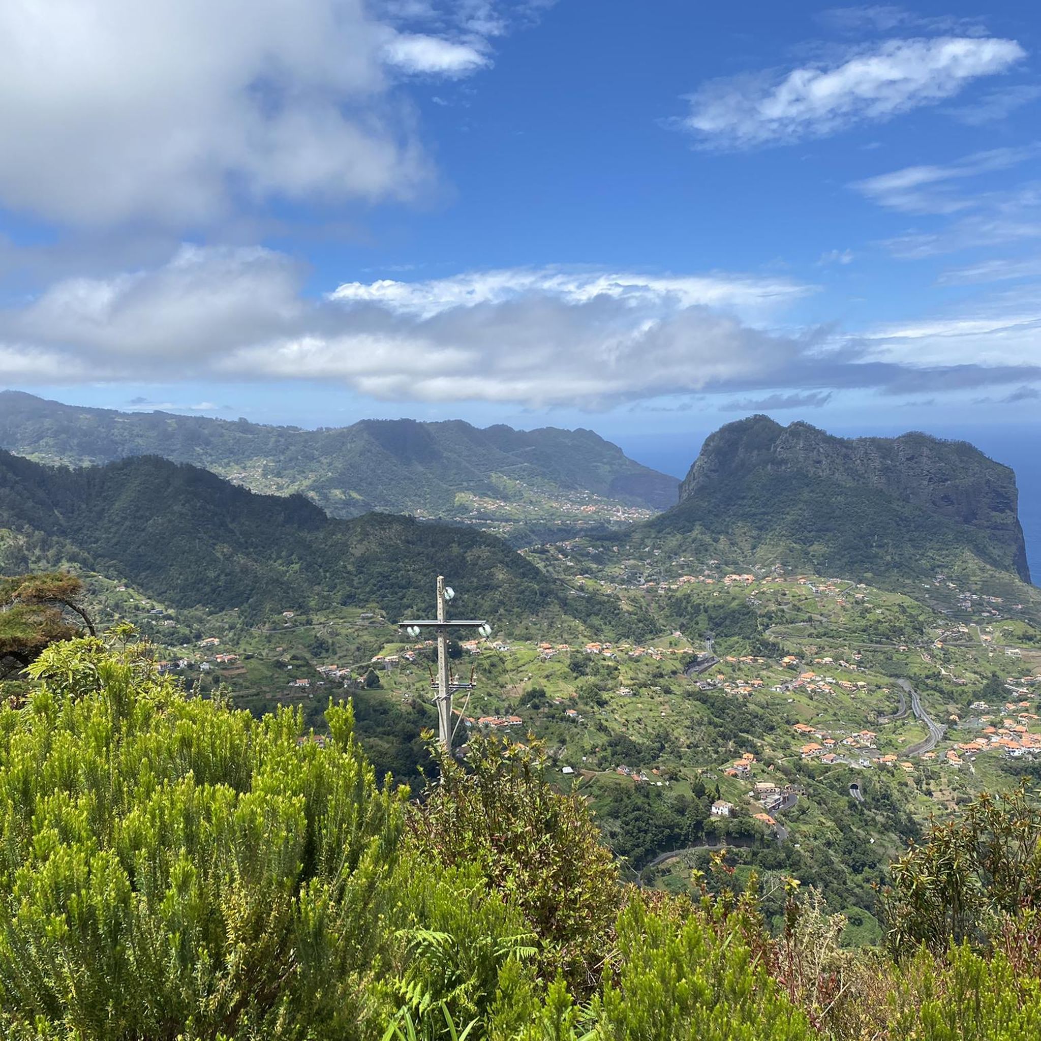
Tips from the Community

The Vereda da Encumeada trail offers scenic views along mountain ridges and slopes, repeatedly connecting deep valleys with vistas stretching all the way to the coast. The route alternates between narrow paths, some steeper sections, and quieter stretches through lush greenery – ideal if you're looking for a longer, varied hike. In wet conditions, hiking poles and sturdy shoes are invaluable, as the ground can be slippery in places.
4
0

The Pico do Arreeio summit is GIANT in the morning and worth every effort. Unfortunately, the hike to Pico Ruivo is closed shortly after the start – without any warning! The signs say you can go (September 2025), but suddenly you find yourself in front of an iron gate! On the way back, you're charged €3 per person, without any warning... The beautiful view at the beginning was worth it, but the overall impression is strange...
2
0

The route begins at the Pico Ruivo refuge at approximately 1,764 m and continues westward along the central ridge to the Encumeada Pass at 1,007 m. Along the way, you'll pass through two important ecosystems that are part of the Natura 2000 network: Laurisilva forest: An evergreen, humid laurel forest known for its biodiversity. Central mountain range: Characterized by volcanic escarpments and open heathlands. Along the trail are historic caves such as the Furna da Lapa da Cadela, which once served as shelters for heathland gatherers. Current Notice: Trail Closure (as of May 2025): Please note that the PR1.3 hiking trail is currently officially closed. The closure affects the section between kilometer point PK7+680 (Boca da Corrida) and Encumeada. It is strongly recommended to obtain up-to-date information from official bodies or local authorities before planning a hike.
5
0
The PR1 Vereda do Areeiro is one of the most spectacular hikes in Madeira and leads through the island's central mountain range. It connects Madeira's three highest peaks: Pico do Areeiro (1,818 m) Pico das Torres (1,851 m) Pico Ruivo (1,862 m) Difficulty: Moderate to challenging Elevation gain: Between 1,491 m and 1,857 m The route includes tunnels, steep stairs, and narrow paths along rock faces. It requires surefootedness, a head for heights, and a good level of fitness. The ascent to Pico Ruivo is particularly challenging, but the views of the surrounding mountain landscape are breathtaking. Note (as of May 2025) Due to forest fires in August 2024, the hiking trail is currently only partially open. Currently, only the section between Pico do Areeiro and the Pedra Rija viewpoint (approx. 1.2 km) is accessible. There is no information yet as to when the entire path will be reopened.
2
0


An adventurous coastal trail between Porto da Cruz and Machico.
23
2

Wonderful view over the north coast 🤩.
28
2

Frequently Asked Questions
What natural features and viewpoints can I explore around Santo António Da Serra?
The region around Santo António Da Serra offers stunning natural beauty and numerous viewpoints. You can experience the UNESCO-protected Laurissilva forest, especially along the Vereda da Encumeada trail. Key viewpoints include Boca do Risco, offering wonderful views over the north coast, and the Miradouro dos Ingleses within Quinta do Santo da Serra park, which provides panoramic vistas over the Ribeira de Machico valley and Ponta de São Lourenço. The area is also in proximity to Madeira's highest peaks, Pico Ruivo and Pico do Areeiro, which offer magical, panoramic views.
What types of trails can I expect on mountain passes near Santo António Da Serra?
You'll find a variety of trails, from relatively flat levada walks to challenging mountain ascents. Many trails, like the Vereda da Encumeada, alternate between narrow paths, steeper sections, and quieter stretches through lush greenery. The region is famous for its 'levadas,' which are irrigation channels that double as walking paths, such as the PR 10 - Levada do Furado Trail and Levada da Serra do Faial, offering serene experiences through verdant forests.
How challenging are the mountain passes and trails in this region?
The difficulty varies significantly. Some levada walks, like the PR 10 - Levada do Furado Trail, are considered easy. However, many mountain passes and trails, especially those connecting the highest peaks, are quite challenging. For instance, the Cabeça do Urso and the Saddle between Pico Ruivo and Pico das Torres involve steep ascents and descents, often on stairs, requiring good fitness, surefootedness, and a head for heights. The PR1 Vereda do Areeiro is also known for its moderate to challenging sections with tunnels and narrow paths.
Are there easy mountain passes or trails suitable for beginners around Santo António Da Serra?
Yes, for those seeking easier options, the region's levada walks are a great choice. The PR 10 - Levada do Furado Trail is an easy 5.0 km route through the Laurissilva forest, taking about 1 hour and 33 minutes. The Levada Nova – Levada dos Tornos Loop is another easy 6.1 km path. These trails offer a gentler introduction to the mountainous landscape.
When is the best time of year to visit the mountain passes around Santo António Da Serra?
Madeira generally enjoys a mild climate year-round, but for mountain passes, spring and autumn often offer the most pleasant conditions with moderate temperatures and less rainfall than winter. Summer can be warm, but higher altitudes remain cooler. Always check the local weather forecast before heading out, especially for higher, more exposed routes, as conditions can change rapidly.
Are there family-friendly trails or activities near the mountain passes?
While some of the higher mountain passes are challenging, the area around Santo António Da Serra does offer family-friendly options. The levada walks, such as the PR 10 - Levada do Furado Trail, are generally suitable for families due to their relatively flat terrain. Additionally, the Quinta do Santo da Serra park, home to the Miradouro dos Ingleses, is a large public space with exotic plants and animal enclosures, perfect for a family outing.
What outdoor activities can I do near these mountain passes?
Beyond exploring the mountain passes, Santo António Da Serra is a hub for various outdoor activities. You can find numerous hiking routes, including the 'Waterfall on Levada do Furado' and 'Levada Nova – Roma Bridge loop'. For cycling enthusiasts, there are routes like the 'Porto da Cruz, Portela e Poiso — circular route'. Mountain biking is also popular, with trails such as 'Pico do Furado, Levada da Serra do Faial e Levada da Portela'. You can find more details on these activities in the Hiking around Santo António Da Serra, Cycling around Santo António Da Serra, and MTB Trails around Santo António Da Serra guides.
How long do hikes typically take around these mountain passes?
Hike durations vary greatly depending on the trail's length and difficulty. Easy levada walks like the PR 10 - Levada do Furado Trail can take around 1.5 to 2 hours for 5 km. Longer, more challenging routes, such as the PR1 Vereda do Areeiro connecting Pico do Areeiro to Pico Ruivo, can take 6-8 hours or more, especially if done as a return trip. Always check the specific route details for estimated times and plan accordingly.
What do visitors enjoy the most about the mountain passes and trails in this region?
Visitors consistently praise the breathtaking views and the adventurous nature of the trails. Many highlight the 'gigantic' and 'spectacular' landscapes, especially along routes like the Cabeça do Urso and the PR1 Vereda do Areeiro. The unique experience of hiking through the Laurissilva forest and the sense of accomplishment after a challenging climb to a saddle or viewpoint are also frequently mentioned.
Are there any specific safety considerations for hiking mountain passes in Santo António Da Serra?
Yes, safety is paramount. For challenging routes like the Cabeça do Urso or the PR1 Vereda do Areeiro, surefootedness, a head for heights, and good footwear are mandatory. Always carry sufficient water and provisions, as facilities may be limited. Weather conditions can change rapidly in the mountains, so check forecasts and be prepared for rain or fog. Some trails may have closures, so it's advisable to check for up-to-date information from official bodies before planning your hike.
How can I access the mountain passes and trails around Santo António Da Serra?
Access to the mountain passes and trails around Santo António Da Serra is primarily by car, with various parking areas available near popular trailheads. Public transport, specifically regional bus routes connecting Funchal to Santana via the mountains, can also provide access to areas near Santo António Da Serra, offering high mountain views. However, for direct access to specific trail starting points, a car is often more convenient.
Most popular routes around Santo António Da Serra
Most popular attractions around Santo António Da Serra

Get inspired with the komoot mobile app


Explore more
See even more epic mountain passes by checking out these guides around Santo António Da Serra:
