The best road cycling routes around Santo António Da Serra
4.7
(17)
332
riders
9
rides
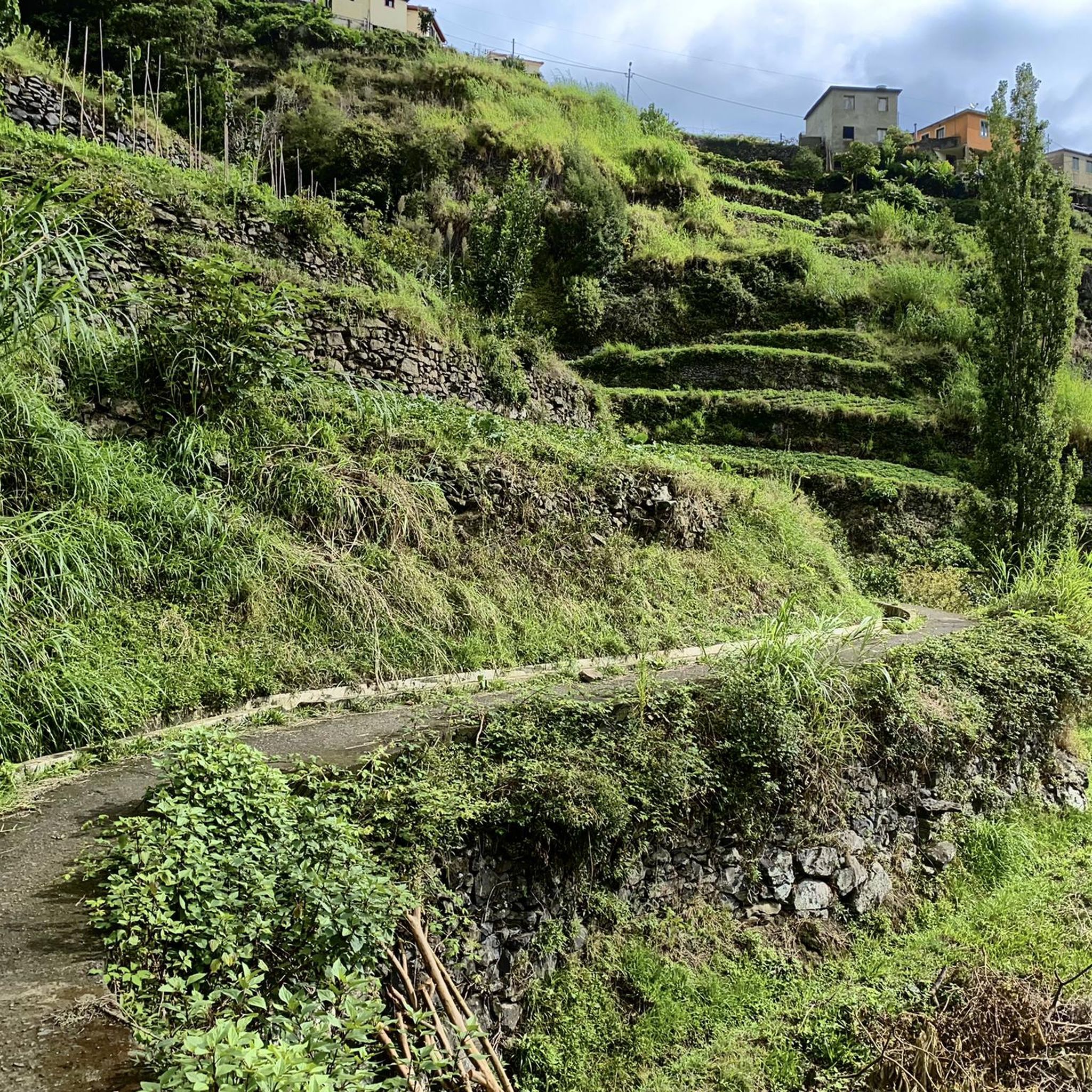
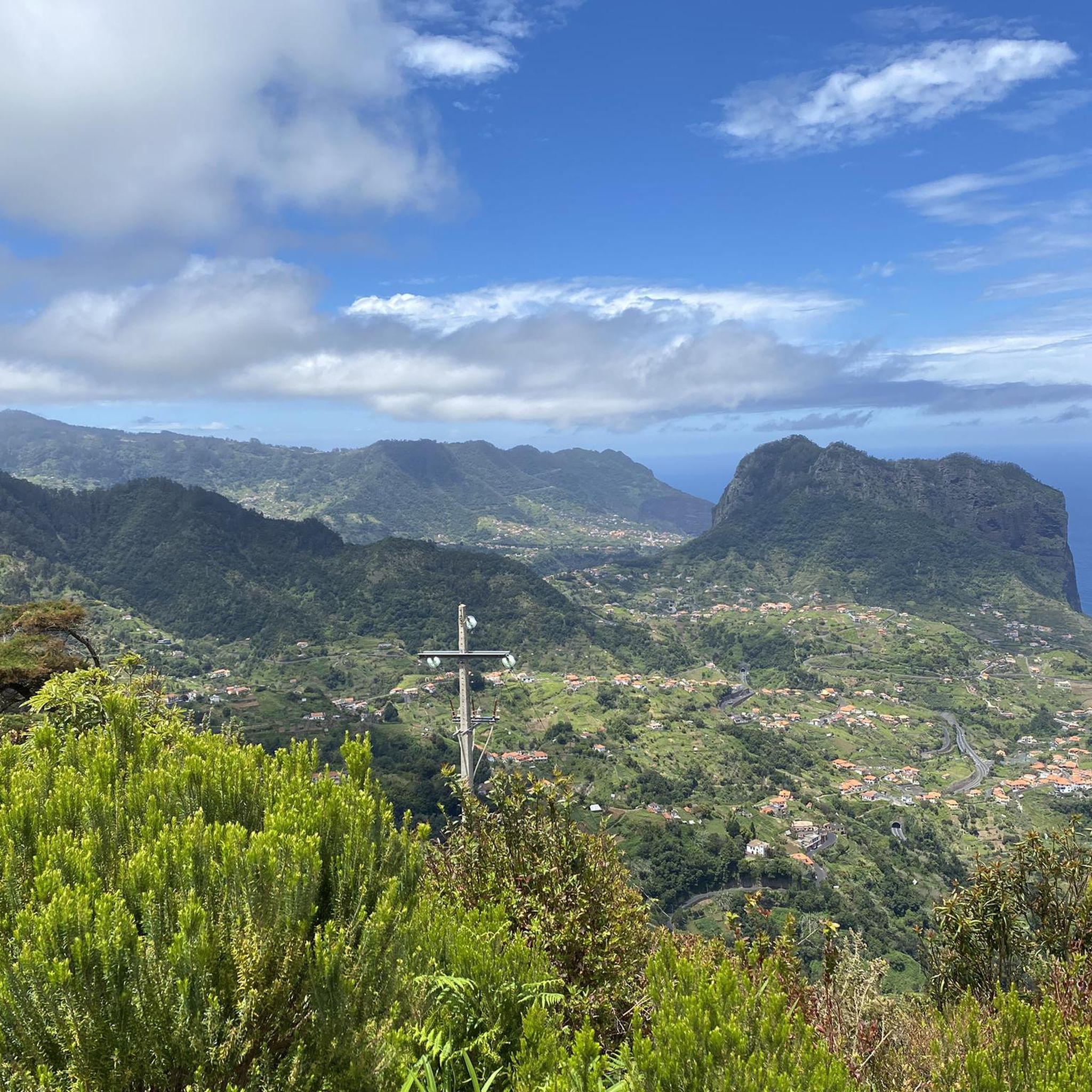
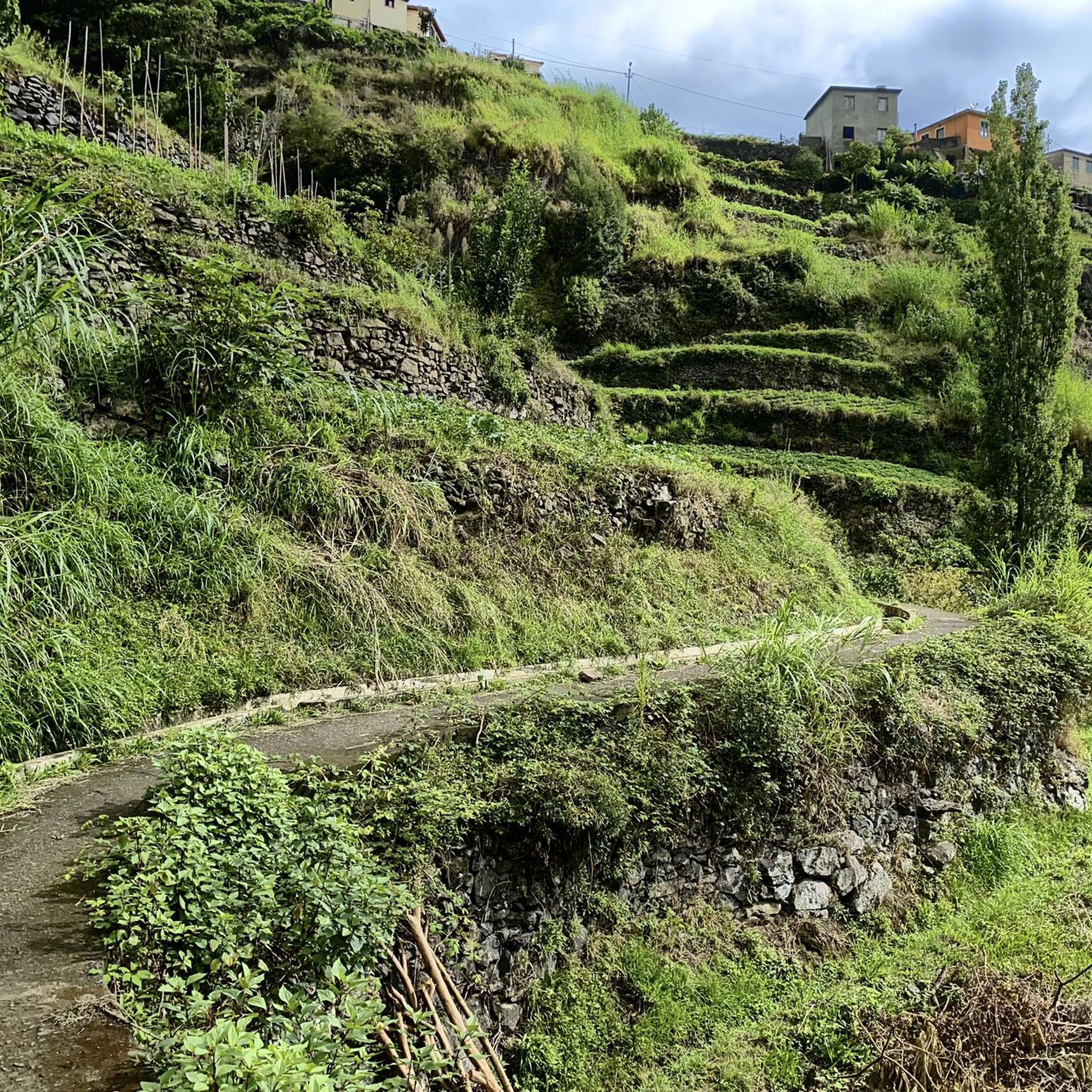
Road cycling routes around Santo António Da Serra are situated on an elevated plateau at approximately 700 meters altitude, offering a temperate climate and diverse landscapes. The region features extensive forest vistas of chestnut, acacia, and elderberry trees, providing a scenic backdrop for rides. Its elevated position contributes to cooler temperatures, and the terrain includes a mix of ascents and descents, characteristic of road cycling in Madeira.
Best road cycling routes around Santo António Da Serra
- The most popular road cycling route is Porto da Cruz, Portela, and Poiso Circuit, a 23.8 miles (38.3 km) trail that takes 3 hours 1 minute to complete, offering a challenging circuit through varied terrain.
- Another top favourite among local road cyclists is View of Funchal – Poiso Trailhead and Rest Area loop from Santo António da Serra, a difficult 26.6 miles (42.9 km) path. This route provides scenic landscapes with views of Funchal.
- Local road cyclists also love the View of Funchal – View of Funchal loop from Santo António da Serra, a 32.8 miles (52.7 km) trail leading through elevated plateaus and panoramic viewpoints, often completed in about 3 hours 18 minutes.
- Road cycling around Santo António Da Serra is defined by elevated plateaus, lush forest vistas, and panoramic viewpoints. The network offers options for different ability levels, though many routes feature significant elevation gain.
- The routes in Santo António Da Serra are highly rated by the komoot community with an average score of 4.7 stars from over 19 reviews. More than 400 road cyclists have used komoot to explore Santo António Da Serra's varied terrain.
Last updated: August 27, 2026
5.0
(2)
15
riders
38.3km
03:02
1,700m
1,700m
Hard road ride. Very good fitness required. Mostly well-paved surfaces and easy to ride.
5.0
(1)
53
riders
44.1km
02:55
1,400m
1,400m
Hard road ride. Very good fitness required. Mostly well-paved surfaces and easy to ride.

Sign up for free
5.0
(1)
34
riders
54.7km
03:31
1,580m
1,580m
Hard road ride. Very good fitness required. Mostly well-paved surfaces and easy to ride.
4.0
(2)
13
riders
28.1km
01:55
900m
900m
Hard road ride. Very good fitness required. Mostly well-paved surfaces and easy to ride.
10
riders
67.2km
05:01
2,670m
2,670m
Hard road ride. Very good fitness required. Mostly well-paved surfaces and easy to ride.
Get access to more routes and recommendations from other explorers.
Sign up for free
Already have an account?
Our route recommendations are based on thousands of hikes, rides, and runs completed by other people on komoot.
Start today with a free account
Your next adventure awaits.
Login or Signup

Tips from the Community

Nice cafe under the picture, ideal for a stop on the way back
0
0


From here you have a beautiful view of Porto da Cruz.
0
0
The Sanctuary of Nossa Senhora da Paz is the largest monument on the island of Madeira, both symbolically and in terms of size.
1
0

The ABRISO DO POISO restaurant at 1412 meters above sea level offers good and inexpensive places to stop for a bite to eat with parking and toilets. There are also good picnic options on the other side of the road with tables and benches in the shade and in the sun. There is also a bus stop at the house. A great starting point for hiking and biking. A stage of the Enduro World Cup MTB series was even held nearby.
3
0
There are several hiking trails around the reception center. MTB riders will also enjoy themselves here. There are even official enduro trails just for bikers that are marked with signs.
3
1

A classic here in Funchal, this place has everything a mountain bike needs, parking, a place to stop for refreshments, and plenty of trails nearby
5
0

Luckily this is accessible by public transport, that's not the case with many trailheads in Maideira.
0
0
Frequently Asked Questions
How many road cycling routes are available in Santo António Da Serra?
There are 12 road cycling routes around Santo António Da Serra listed on komoot. These routes offer a variety of experiences, from challenging climbs to scenic rides across diverse terrain.
What is the general difficulty level of road cycling routes in Santo António Da Serra?
Most road cycling routes in Santo António Da Serra are considered challenging, with 10 routes rated as difficult and 2 as moderate. This is due to the region's elevated plateau and significant elevation gains, offering rewarding experiences for experienced cyclists.
What kind of terrain can I expect on road cycling routes in Santo António Da Serra?
Road cycling in Santo António Da Serra features diverse terrain, from challenging climbs on elevated plateaus to scenic rides through lush forest vistas of chestnut, acacia, and elderberry trees. You'll also encounter coastal roads, laurel forests, and stunning mountain views across the broader Madeira Island.
Are there any circular road cycling routes in Santo António Da Serra?
Yes, several routes are circular. For example, the Porto da Cruz, Portela, and Poiso Circuit is a popular 38.3 km loop offering varied terrain. Another option is the Neves Viewpoint – Pinnacle Viewpoint loop from Barreiros, which provides expansive views.
What are the elevation gains like on road cycling routes in this region?
Road cycling routes in Santo António Da Serra typically feature significant elevation gains. For instance, the Porto da Cruz – Santa Cruz Beach loop from Machico involves over 2,600 meters of ascent, providing a substantial challenge for cyclists.
Are there routes with scenic viewpoints in Santo António Da Serra?
Absolutely. Many routes offer breathtaking panoramic views. The Neves Viewpoint – Pinnacle Viewpoint loop from Barreiros is specifically designed to showcase multiple stunning vistas. You can also find routes with views of Funchal, the Ribeira de Machico valley, and the Atlantic Ocean.
What natural attractions can I see along road cycling routes in Santo António Da Serra?
While cycling, you can experience the region's extensive forest vistas. Nearby attractions include the dramatic rock formations visible from the Ninho da Manta Viewpoint and the historic levada trails. For specific natural features, consider exploring highlights like the Tunnel and waterfalls on the Levada do Caldeirão do Inferno.
Are there any interesting landmarks or points of interest near the cycling routes?
Yes, the area boasts several points of interest. You might pass by the Quinta do Santo da Serra, a large public park with exotic flora and animal enclosures. For unique geological features, consider visiting highlights like the Gruta da Furna do Bode or the Levada Tunnel Under Nogueira.
What do other road cyclists enjoy most about road cycling in Santo António Da Serra?
The area is highly rated by the komoot community, with an average score of 4.7 stars from over 19 reviews. Cyclists often praise the challenging climbs, the diverse landscapes, and the rewarding panoramic views from the elevated plateaus.
Is Santo António Da Serra suitable for family-friendly road cycling?
Given that most routes are rated as difficult with significant elevation gains, Santo António Da Serra is generally more suited for experienced road cyclists. There are currently no routes specifically categorized as easy, which might be more appropriate for families or beginners.
What is the best time of year for road cycling in Santo António Da Serra?
Santo António Da Serra, situated at 700 meters altitude, benefits from a temperate climate. This means it offers pleasantly cool temperatures, especially during summer months, making it an excellent destination for road cycling year-round. However, always check local weather forecasts before heading out.
Are there facilities like rest areas or shelters along the routes?
Yes, some routes pass by facilities. For instance, the View of Funchal – Poiso Trailhead and Rest Area loop from Santo António da Serra includes the Poiso Trailhead and Rest Area, which can be a convenient stop during your ride.
Most popular routes around Santo António Da Serra
Most popular attractions around Santo António Da Serra

Get inspired with the komoot mobile app


Explore more
Browse the best Road cycling routes in other regions.
