Top 20 Natural Monuments around Rangersdorf
Best natural monuments around Rangersdorf are located in the Hohe Tauern National Park Region of Carinthia, Austria. This area features expansive alpine vistas, pristine valleys, and extensive hiking opportunities. The region presents a diverse natural landscape, including high mountain peaks, clear lakes, and waterfalls. Visitors can explore a variety of natural features that define the Austrian Alps.
Best natural monuments around Rangersdorf
- The most popular natural monument is Ederplan, a summit that offers a great all-round view from the…
Last updated: June 24, 2026
Ederplan
Highlight • Summit
Translated by Google •
Tip by

Nassfeldriegel Summit (2,236 m)
Highlight • Summit
Translated by Google •
Tip by

Sign up now to discover places like this
Get recommendations on the best single tracks, peaks, & plenty of other exciting outdoor places.
Sign up for free
Debanttal
Highlight • Gorge
The end of …
Translated by Google •
Tip by

Frauenbach Waterfall
Highlight • Waterfall
Tip by

Mohar Summit
Highlight • Summit
Translated by Google •
Tip by

Sign up for free to discover even more natural monuments around Rangersdorf.
Sign up for free
Already have an account?
Start today with a free account
Your next adventure awaits.
Login or Signup
Popular around Rangersdorf

Alpe-Adria-Trail: My long-distance hike from the glacier to the sea

From the Grossglockner to the sea on the Alpe Adria Trail
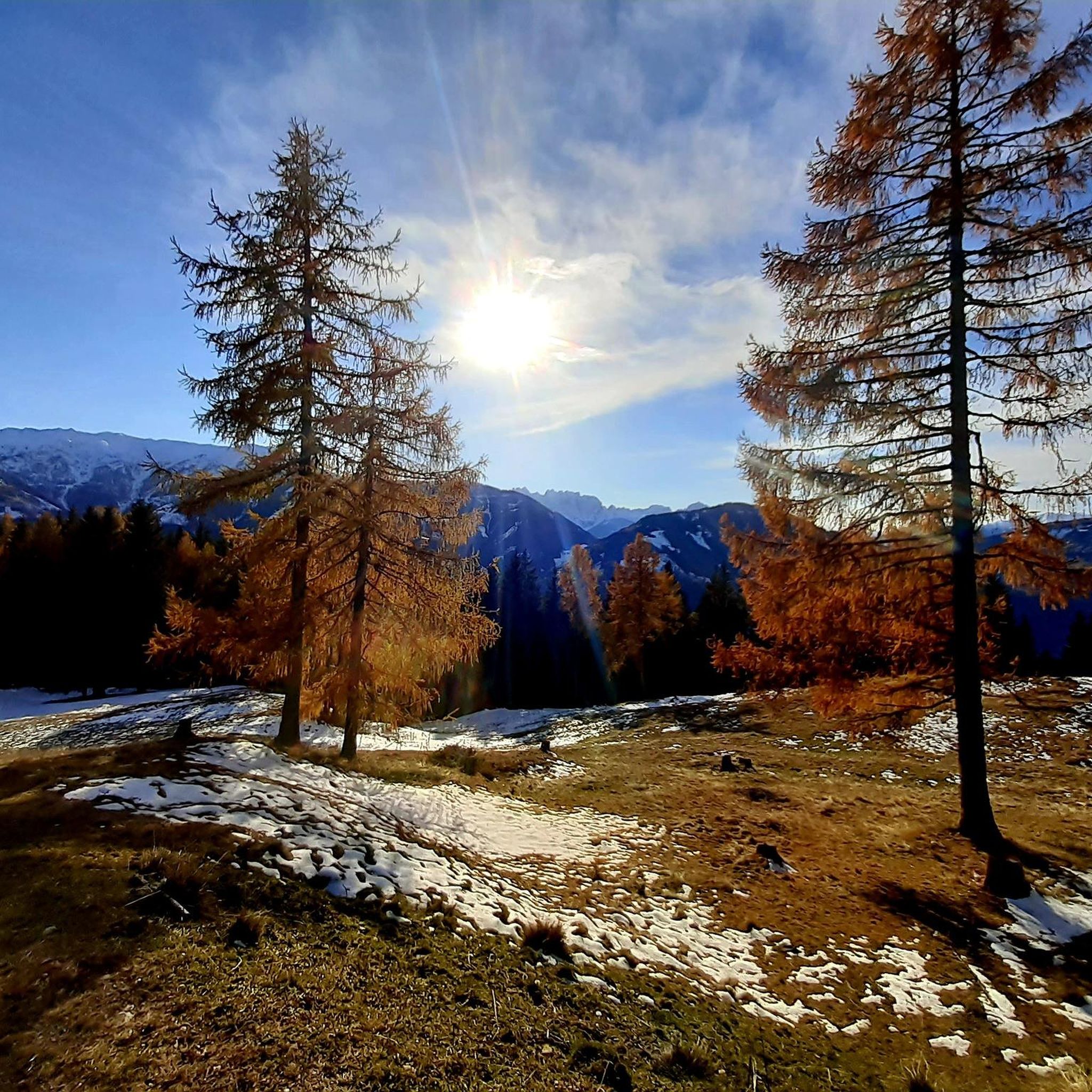
Cycling around Rangersdorf
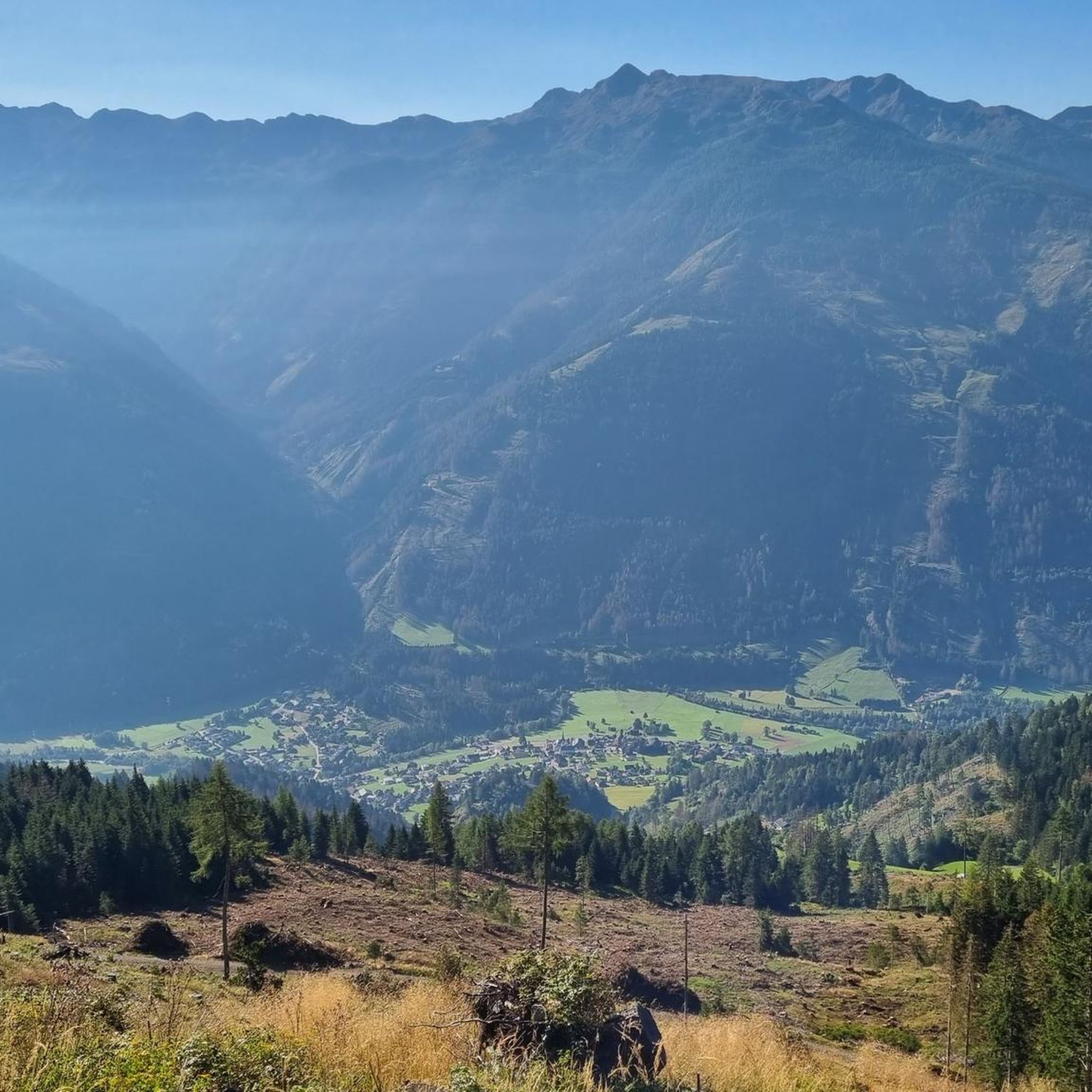
Hiking around Rangersdorf
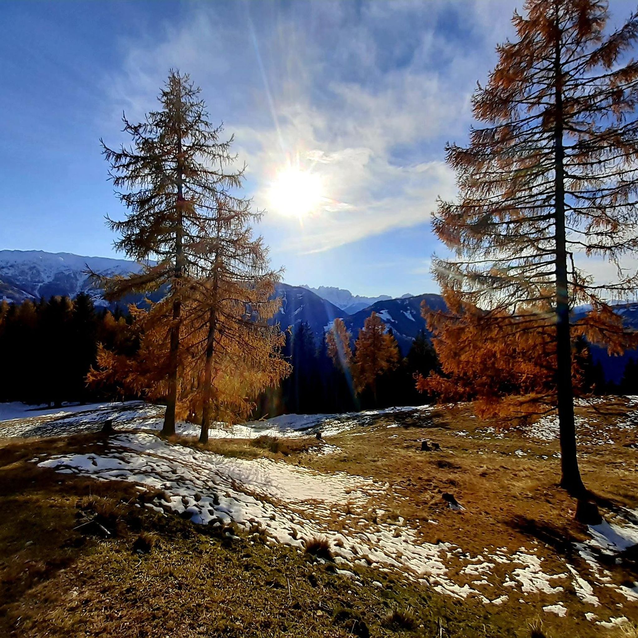
MTB Trails around Rangersdorf
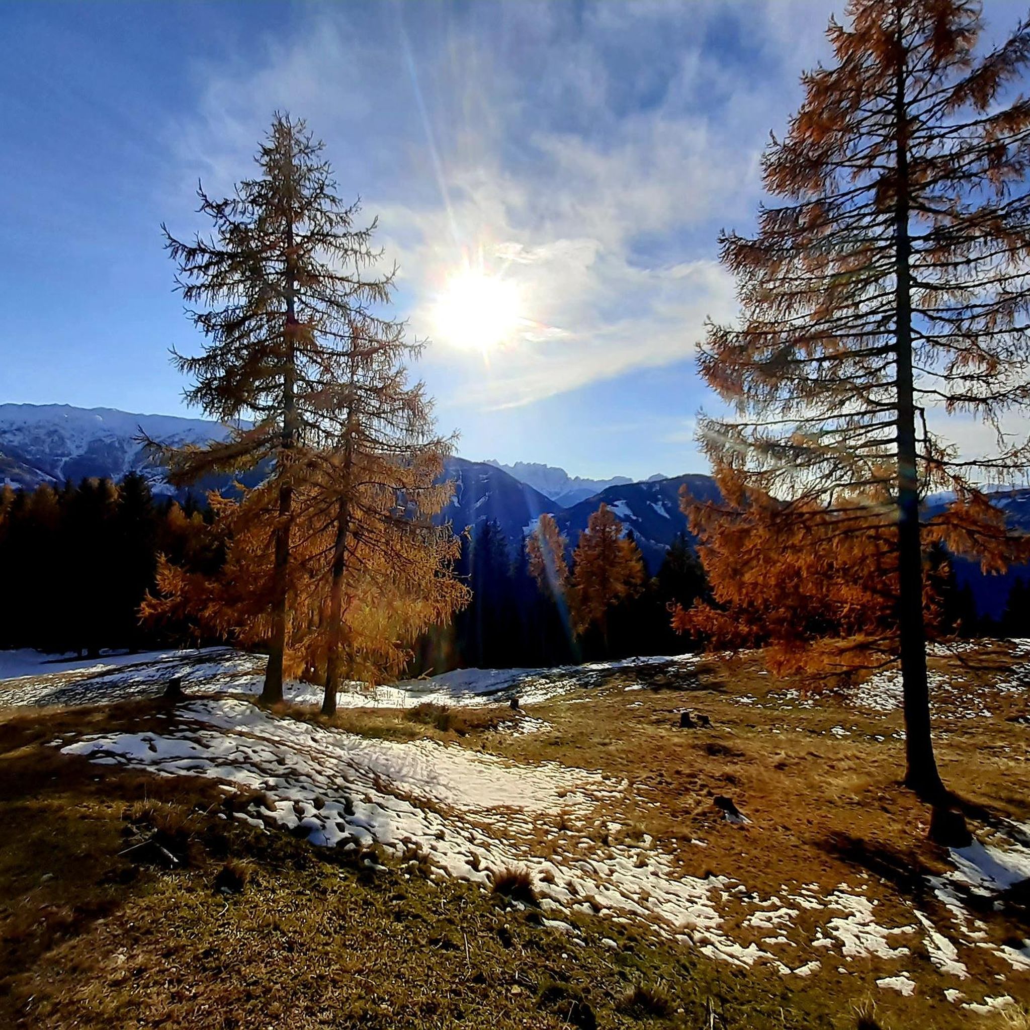
Road Cycling Routes around Rangersdorf
Mountain Hikes around Rangersdorf
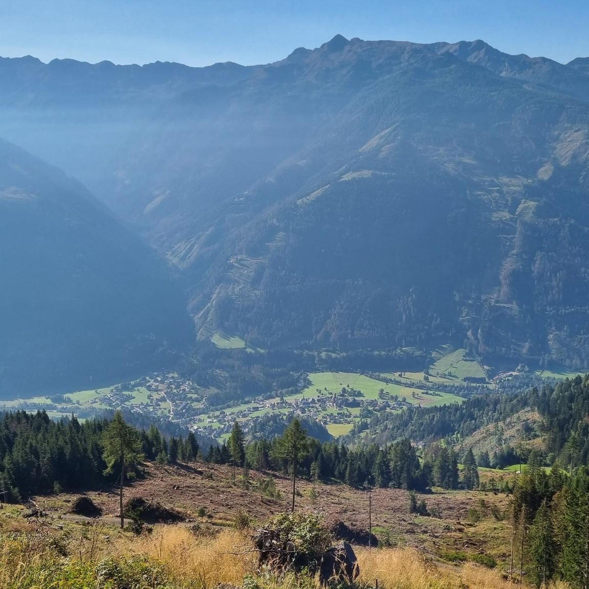
Running Trails around Rangersdorf
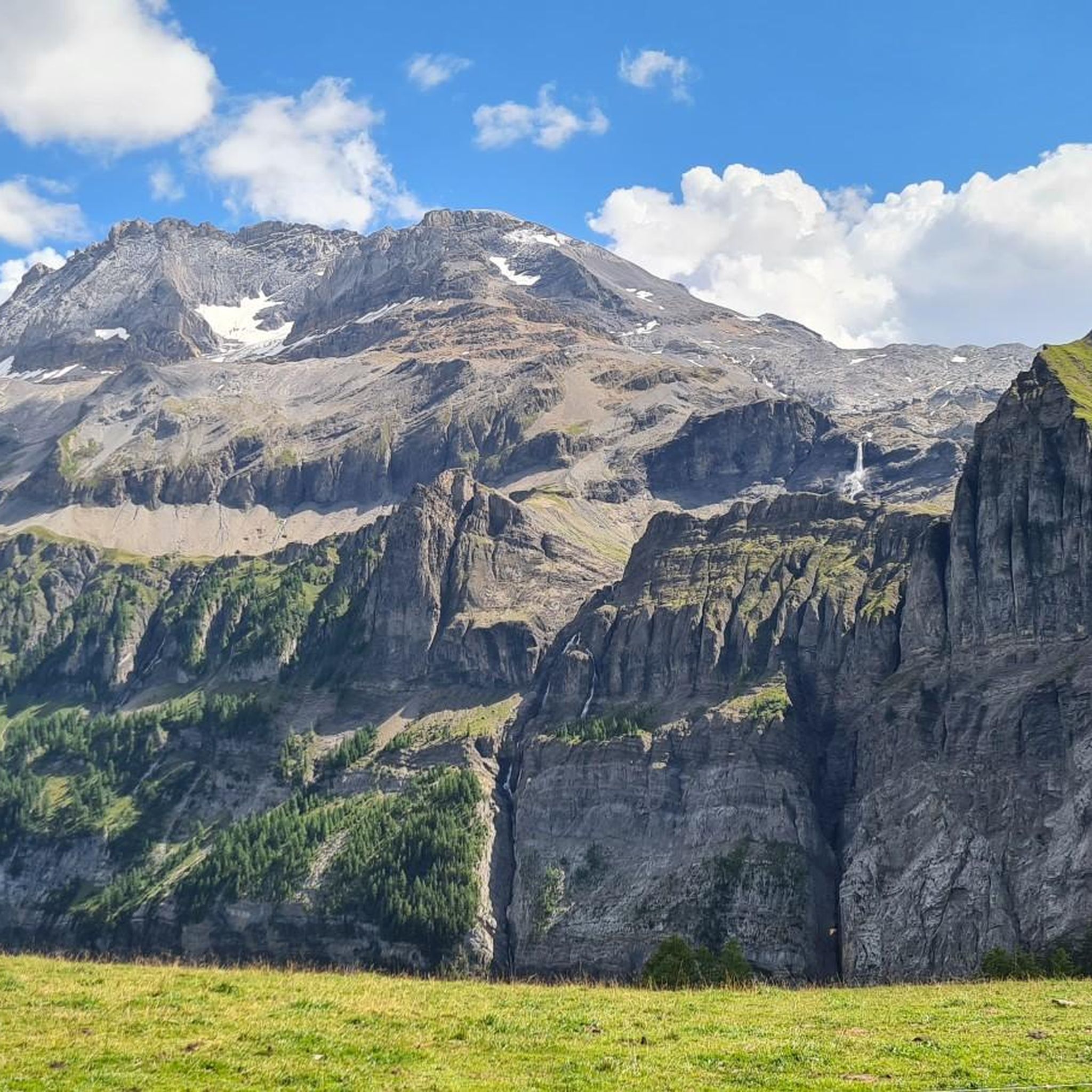
Gravel biking around Rangersdorf


Tips from the Community

Beautiful mountain for a short afternoon tour from the Emberger Alm. When the weather is clear, the Ankogel and Hochalmspitze greet you over the Kreuzeck group, and the view to the south is fantastic.
0
0

This setting, perfect for a short rest or as a photo opportunity, reveals the untouched beauty of the region. Ideal for a refreshing break during a hike. Impressive view from the viewing platform.
1
2

The Naßfeldriegel, 500 meters above the Emberger Alm, is the ideal destination for a short and enjoyable hike. The botanists will be particularly enthusiastic. A wide variety of dwarf shrubs (Almrausch, heather, cranberries), gentian, Scheuchzer cotton grass in damp places and many other plants thrive here. At the summit, hikers are delighted by the comprehensive panoramic view. Unpack the snack and simply enjoy it! (Source Bergfex)
2
0


Shortly after Pentecost there is not much going on here. In 2023 the path from the Emberger Alm was free of snow. We were at the summit for 1 hour and three people passed by in that time.
1
0

From Anna-Schutzhasu, 10 minutes on foot to the Ederplan summit cross. Even for an eMTB, a short, very steep final climb - but very worthwhile. The last 700 meters to the hut are a bad, trail-like road, the first 300 meters of which are very steep.
1
1

Easily accessible from the parking lot, nice as a stopover about 15 minutes walk to the waterfall with two beautiful viewing platforms
0
1

The tour from Dölsach was very disappointing. Most of the way goes along the Drau, where you walk almost continuously in the sun in the morning and afternoon. Moreover, the entire path is gravel or asphalt. Only the last section in the forest and at the waterfall was very pleasant and good for walking.
1
1
Frequently Asked Questions
What types of natural monuments can I explore around Rangersdorf?
Rangersdorf, situated in the Hohe Tauern National Park Region, offers a diverse natural landscape. You can explore majestic alpine vistas, pristine valleys, and prominent mountain ranges like the Kreuzeck Group and Lienz Dolomites. Specific natural features include impressive summits such as Ederplan and Nassfeldriegel Summit (2,236 m), the crystal-clear waters of Tristacher See, the expansive Debanttal valley, and the refreshing Frauenbach Waterfall.
Are there any family-friendly natural monuments or activities in the area?
Yes, several natural monuments around Rangersdorf are suitable for families. Ederplan offers a super panoramic view and is suitable for an afternoon hike. Tristacher See, the only natural bathing lake in East Tyrol, is perfect for a refreshing swim and has facilities. The Frauenbach Waterfall also provides an impressive view from its platform, ideal for a short, refreshing break during a hike.
What are the best times of year to visit the natural monuments near Rangersdorf?
The Möll Valley and surrounding natural areas are particularly vibrant in spring when nature awakens, and in autumn with its spectacular display of red, yellow, and orange foliage. These seasons offer ideal conditions for hiking and enjoying the scenic beauty. Summer is also excellent for activities like swimming in Tristacher See and high-alpine exploration.
What kind of hiking opportunities are available near Rangersdorf's natural monuments?
Rangersdorf is a prime location for hiking. You can find a variety of trails, from leisurely walks along the Möll river to more challenging routes. The Debanttal, Austria's longest self-contained alpine valley, is part of the Hohe Tauern National Park and offers pure nature experiences. For experienced hikers, the Hochalmspitze, at 3,360 meters, provides a challenging ascent with breathtaking panoramic views. You can find more detailed hiking routes in the Mountain Hikes around Rangersdorf guide.
Are there any natural monuments that offer particularly good panoramic views?
Absolutely. Ederplan is a summit renowned for its great all-round view, stretching from the Dolomites to the Schober group. Similarly, Nassfeldriegel Summit (2,236 m) offers an ideal destination for a short hike with a comprehensive panoramic view. The Marterle area, home to Carinthia's highest pilgrimage church, also provides glorious views of the majestic Kreuzeck group and distant Lienz Dolomites.
What can I expect to see in terms of wildlife or unique flora?
The Debanttal valley, due to its favorable climate and geological conditions, is home to a wide range of wild animals and mountain plants. You can experience pure nature here, with cows grazing on alpine pastures and larch and stone pine forests spreading higher up. At Nassfeldriegel Summit (2,236 m), botanists will appreciate the wide variety of dwarf shrubs like Almrausch, heather, and cranberries, as well as gentian and Scheuchzer cotton grass in damp areas.
Are there places to eat or rest near the natural monuments?
Yes, you can find options for refreshments. At the Debanttal valley, the beautifully situated Lienzer Hütte welcomes visitors with regional delicacies at the end of the valley. Near the Lainacher Kuhalm, the Ronahütte mountain lodge offers homemade cheese from its own alpine dairy. These spots provide a chance to rest and enjoy local fare amidst the natural beauty.
What other outdoor activities can I do near these natural monuments?
Beyond hiking, the region around Rangersdorf offers various outdoor activities. You can explore numerous MTB Trails, including routes to Marterle and the Lainacher Kuhalm. There are also several Running Trails for those who enjoy jogging through the scenic landscape. The Tristacher See is also a popular spot for swimming.
What makes the Möll Valley a significant natural highlight?
The Möll Valley itself is a significant natural highlight, offering a variety of hiking experiences. It is characterized by lush green alpine meadows and clear streams, providing a picturesque setting for leisurely walks or more challenging routes. The valley is especially vibrant in spring and autumn, showcasing the natural beauty of the Hohe Tauern National Park Region.
What is the significance of the Marterle area?
The Marterle area is notable for its location at 1,836 meters above sea level, home to Carinthia's highest pilgrimage church. While the church is a cultural landmark, its natural setting offers glorious panoramic views of the majestic Kreuzeck group and the distant Lienz Dolomites. It also serves as a popular starting point for various hiking trails, including a stage of the long-distance Alpe-Adria-Trail, connecting visitors to the elevated natural spaces.
How challenging are the hikes to the summits around Rangersdorf?
The difficulty of hikes varies. Ederplan is considered an intermediate hike suitable for an afternoon. Nassfeldriegel Summit (2,236 m) is also an intermediate hike, described as short and enjoyable. For experienced hikers seeking a significant challenge, the Hochalmspitze, at 3,360 meters, is the highest peak in the vicinity and offers a demanding ascent with unparalleled views.
What do visitors particularly enjoy about the natural monuments in Rangersdorf?
Visitors frequently praise the stunning panoramic views from summits like Ederplan and Nassfeldriegel Summit (2,236 m). The crystal-clear water and bathing quality of Tristacher See are also highly appreciated. Many enjoy the untouched beauty and pure nature experiences found in areas like the Debanttal and the refreshing break offered by the Frauenbach Waterfall.
Most popular routes around Rangersdorf
Most popular attractions around Rangersdorf

Get inspired with the komoot mobile app


Explore more
Extend your search for the best caves by checking out these guides of the top ones around Rangersdorf:
