The best walks and hikes around Rangersdorf
4.5
(1956)
10,457
hikers
29
hikes
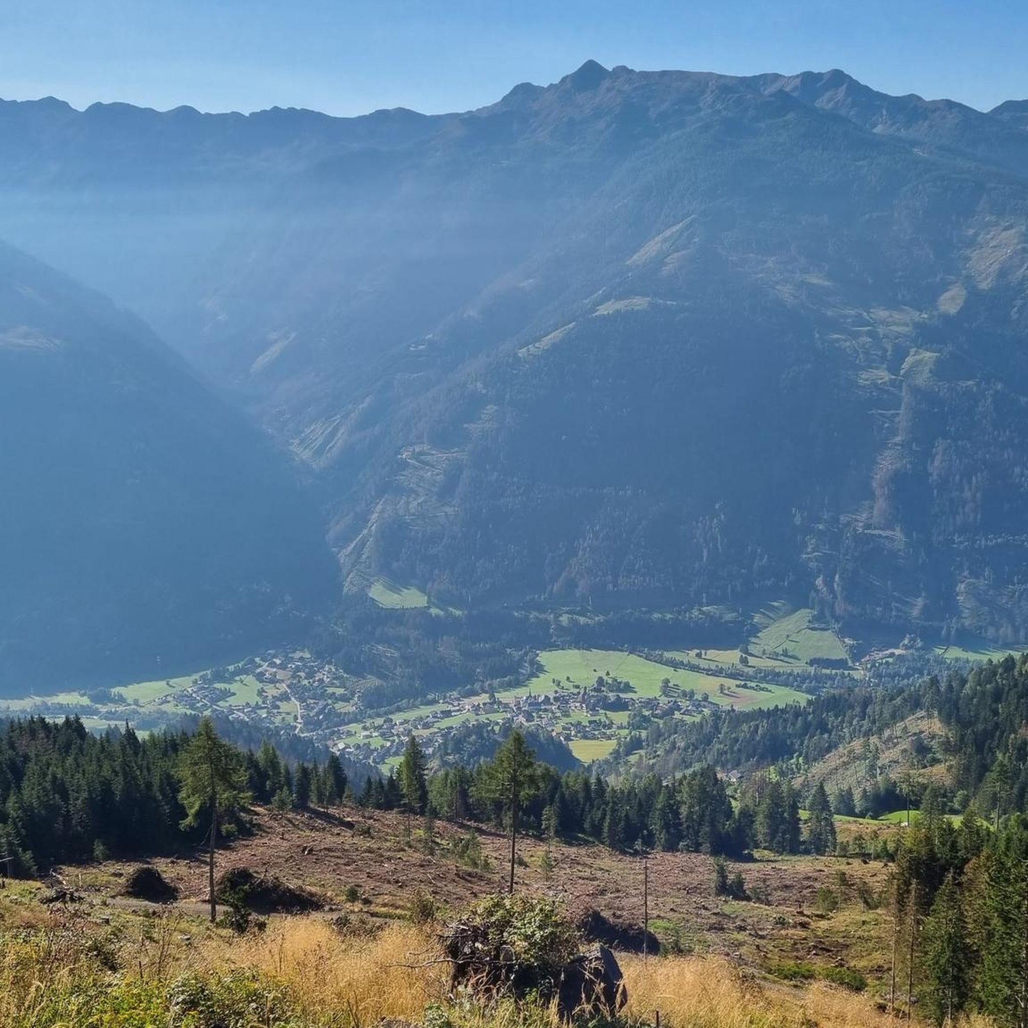
Hiking around Rangersdorf, located in Carinthia, Austria, offers diverse terrain within the Kreuzeck Group and Mölltal. The region features high-mountain landscapes, alpine meadows, and dense forests, with trails often following mountain streams. Elevations vary, providing options from gentle valley walks to challenging ascents with significant gains. The area is characterized by its natural setting, offering varied hiking experiences.
Best hiking trails around Rangersdorf
- The most popular hiking route is Marterle – Marterle Alpine Inn loop from Marterle, a 6.0…
Last updated: September 25, 2026
4.7
(24)
150
hikers
9.65km
05:35
790m
790m
Hard hike. Very good fitness required. Sure-footedness, sturdy shoes and alpine experience required.
4.7
(17)
50
hikers
5.94km
01:44
170m
170m
Easy hike. Great for any fitness level. Easily-accessible paths. Suitable for all skill levels.

4.1
(21)
67
hikers
9.38km
03:20
500m
500m
Moderate hike. Good fitness required. Mostly accessible paths. Sure-footedness required.
4.4
(8)
32
hikers
4.79km
02:47
430m
430m
Hard hike. Good fitness required. Sure-footedness, sturdy shoes and alpine experience required.
4.8
(4)
21
hikers
7.07km
02:23
380m
380m
Moderate hike. Good fitness required. Easily-accessible paths. Suitable for all skill levels.
Get access to more routes and recommendations from other explorers.
Already have an account?
Our route recommendations are based on thousands of hikes, rides, and runs completed by other people on komoot.
Start today with a free account
Your next adventure awaits.
Popular around Rangersdorf

Alpe-Adria-Trail: My long-distance hike from the glacier to the sea

From the Grossglockner to the sea on the Alpe Adria Trail
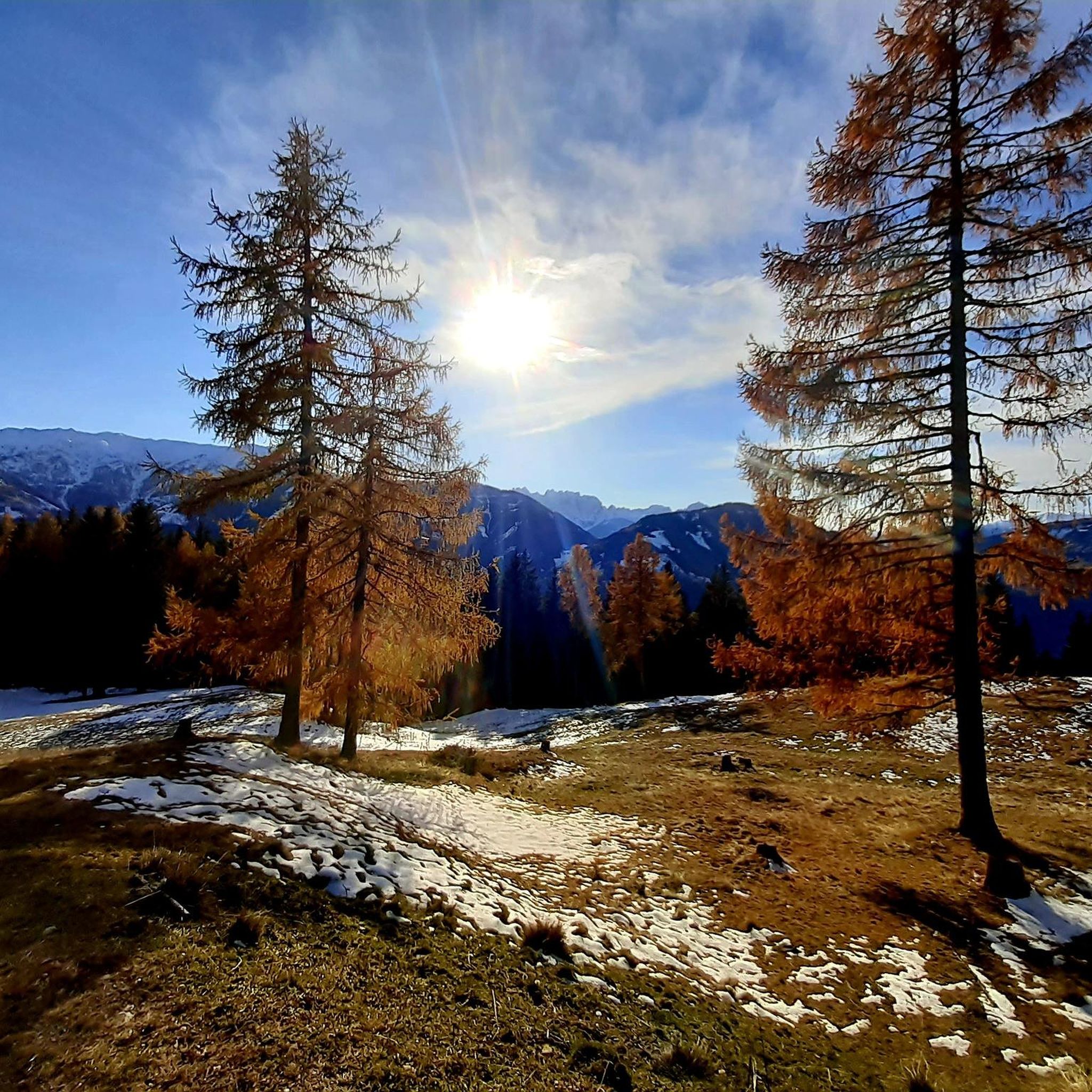
Cycling around Rangersdorf
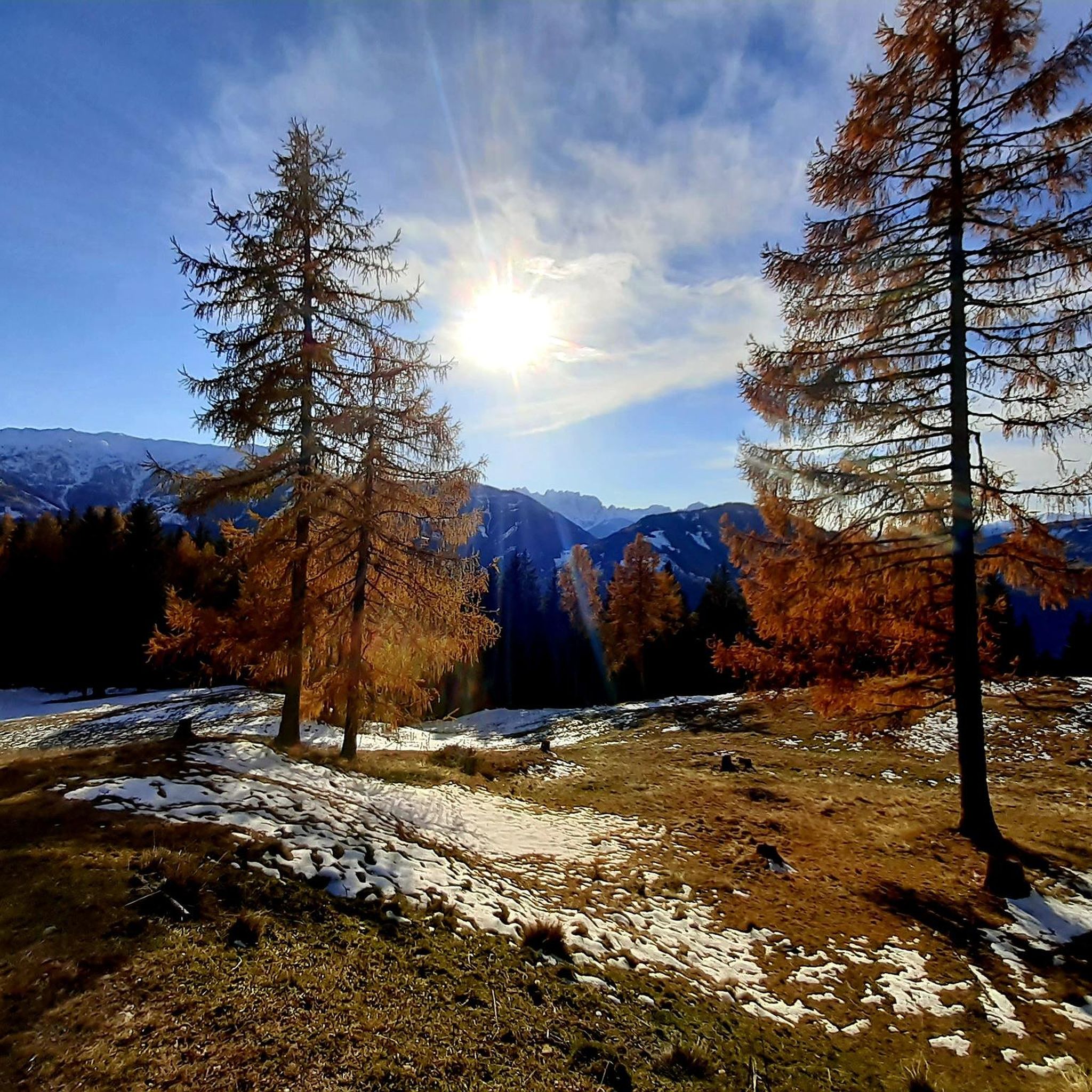
Road Cycling Routes around Rangersdorf
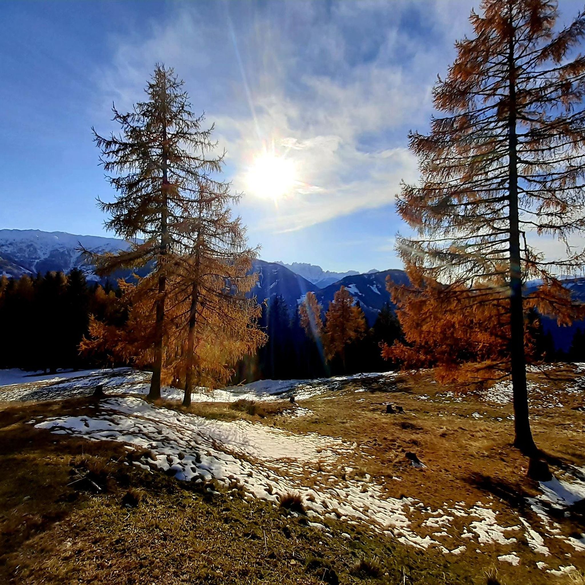
MTB Trails around Rangersdorf
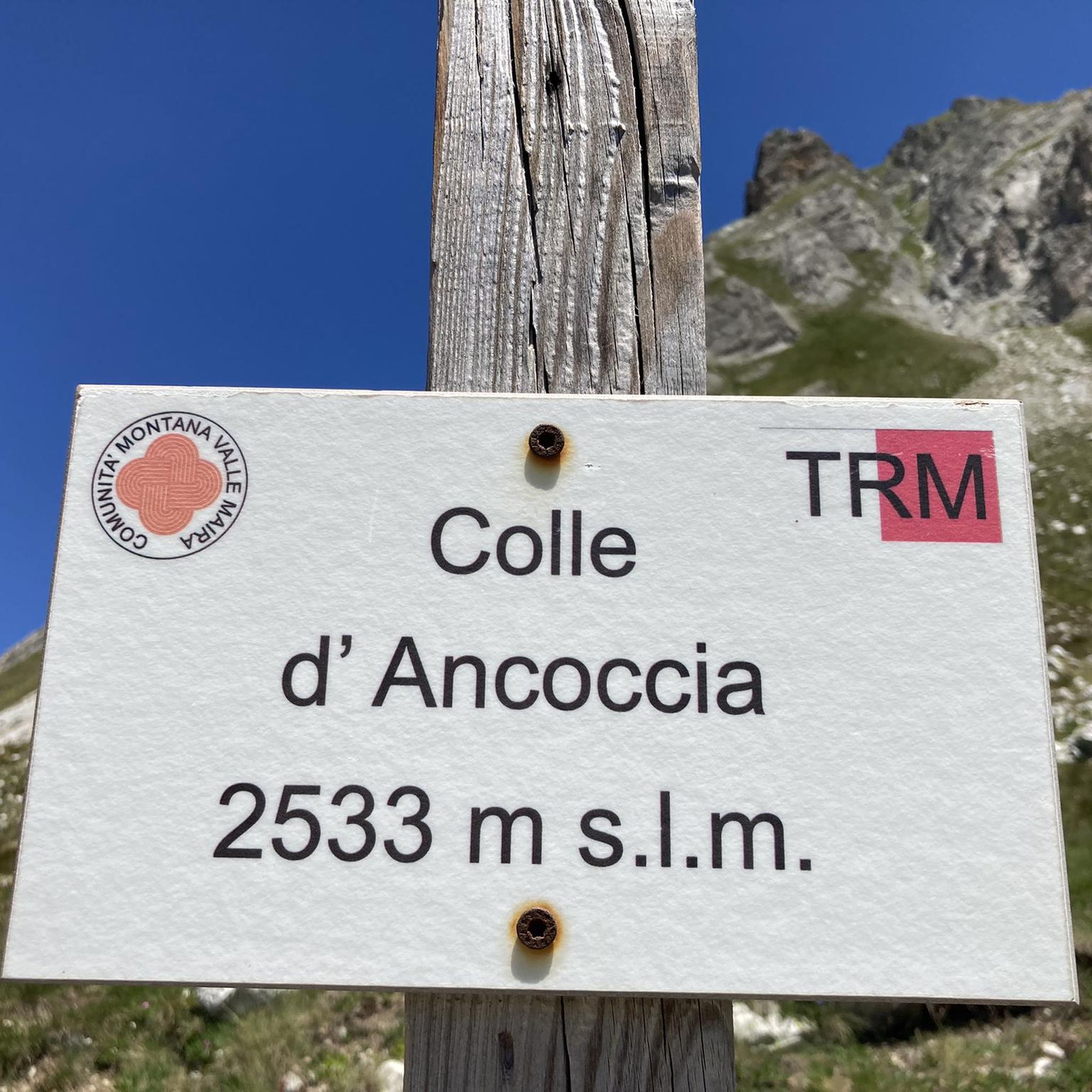
Mountain Hikes around Rangersdorf
Running Trails around Rangersdorf
Gravel biking around Rangersdorf


Tips from the Community

The Marterle pilgrimage church is located at 1861 meters above sea level near Wenneberg in the municipality of Rangersdorf. It is beautifully situated and offers a fantastic panoramic view. In good weather you can even see the Lienz Dolomites. The pilgrimage church is not always open. Unfortunately we were not lucky. There is a bench in front of the church where you can enjoy the last rays of the sunset even in winter.
0
0
You can also spend the night in the hut. It is run by a private host. It is a self-catering hut.
0
0
A beautifully situated pilgrimage site. On the south side there is a small bench where you can enjoy the sunset. Simply fantastic up here. If you want to know more, you can visit the Rangersdorf community website, because the pilgrimage church has a lot to tell historically: https://gemeinde-rangersdorf.at/urlaub-bei-freunden/naherholungsziele/das-marterle-wallfahrt/
0
0

Beautiful hike up from Marterle in about 2-2.5 hours with a bit of scrambling at the end. Best done in dry weather and well suited in addition to Zellinkopf and Leitenkopf.
0
0

Very nice guesthouse with beautiful views of the valley and the surrounding mountains from the rooms.
0
1


Rustic mountain inn with simple accommodation in a fantastic location right next to the pilgrimage church and a great view of the valley.
0
1

Frequently Asked Questions
How many hiking trails are available around Rangersdorf?
Rangersdorf offers a wide variety of hiking experiences, with over 30 distinct routes available. These range from easy strolls to challenging mountain expeditions, ensuring options for all fitness levels.
What kind of terrain and elevation can I expect on hikes in Rangersdorf?
The terrain around Rangersdorf is diverse, nestled within the Kreuzeck Group and Mölltal. You'll find high-mountain landscapes, lush alpine meadows, and dense forests. Elevation gains vary significantly; easy routes might have up to 1,000 feet of gain, while difficult trails can involve over 3,000 feet, often requiring good fitness and sure-footedness.
Are there any family-friendly hiking options in Rangersdorf?
Yes, Rangersdorf has several family-friendly hiking options. For example, the Marterle Alpine Inn – Marterle loop from Marterle is an easy 3.7-mile (5.9 km) path, perfect for accessible walking near the Marterle Alpine Inn. Many trails through alpine meadows and along streams are also suitable for families.
Can I bring my dog on the hiking trails in Rangersdorf?
Generally, dogs are welcome on hiking trails in Rangersdorf. However, it's always recommended to keep them on a leash, especially in alpine pastures where livestock may be present, and to respect local regulations. Ensure you carry water for your dog and clean up after them.
What are some notable natural features or landmarks to look out for while hiking?
The region is rich in natural beauty and landmarks. You can explore the pristine high-mountain landscapes of the Kreuzeck Group, enjoy panoramic views of the Lienz Dolomites from higher points, and discover numerous mountain streams. A significant landmark is the Marterle Pilgrimage Church, situated at 1861 meters, which offers fantastic views and is a starting point for several hikes.
Are there any circular hiking routes available?
Yes, circular routes are a popular way to explore the area. The Hiking loop from Lainach is a great example, covering 5.8 miles (9.4 km) through varied landscapes. Another option is the challenging Marterle – Marterle Alpine Inn loop from Marterle, which explores high-mountain terrain.
What is the best time of year to go hiking in Rangersdorf?
Rangersdorf offers seasonal beauty throughout the year. Spring brings lush green meadows, while autumn transforms the landscape with breathtaking red, yellow, and orange foliage. Summer is ideal for high-altitude hikes. Always check local weather conditions, especially for higher mountain routes, as conditions can change rapidly.
Where can I find parking or public transport options for trailheads?
Many trailheads around Rangersdorf offer designated parking areas, particularly near popular starting points like the Marterle Pilgrimage Church or within the Mölltal. While public transport options exist, they might be limited for reaching more remote trailheads. It's advisable to check local bus schedules if relying on public transport.
Are there any huts or places to eat along the trails?
Yes, the region features charming, rustic huts that often serve traditional Austrian specialties. For instance, the Sadnighaus and Fraganter Schutzhaus are examples of huts where you can stop for refreshments or a meal. The Maltatal Hochalmhütte is also a family-friendly option offering food and views.
What do other hikers say about the trails in Rangersdorf?
The hiking trails in Rangersdorf are highly regarded by the komoot community, with an average rating of 4.6 stars from over 1,600 reviews. Hikers frequently praise the pristine high-mountain landscapes, the continuous dreamlike views, and the diverse options catering to all skill levels, from leisurely walks to challenging ridge hikes.
Are there any easy hikes for beginners in Rangersdorf?
Absolutely. Rangersdorf offers several easy hikes suitable for beginners or those seeking a relaxed stroll. These accessible paths often have up to 1,000 feet of elevation gain and can be completed in about 2 hours. An example is the Marterle – Marterle Alpine Inn loop from Rangersdorf, an easy 5.6 km route.
Can I find any mountain passes or viewpoints with extensive vistas?
Rangersdorf is known for its breathtaking panoramic views. From higher points, such as the Marterle pilgrimage church, you can often see the Lienz Dolomites. The Kreuzeck High Trail also offers continuous dreamlike views. Notable mountain passes in the vicinity include the Iselsberg Pass and Ochsentörl, providing expansive vistas.
Most popular routes around Rangersdorf
Most popular attractions around Rangersdorf

Get inspired with the komoot mobile app


Explore more
Browse the best Hikes in other regions.
