The best gravel rides around Rangersdorf
4.6
(25)
175
riders
4
rides
Gravel biking around Rangersdorf offers diverse terrain within a picturesque alpine setting. The region is characterized by impressive mountain ranges, high mountain landscapes, and the scenic Möll Valley, through which the Möll river flows. Riders can explore routes with views of the Kreuzeck group and the Lienz Dolomites, with options connecting to the Drava Cycle Path. The area provides an extensive network of gravel paths suitable for various skill levels.
Best gravel bike trails around Rangersdorf
- The most popular gravel…
Last updated: October 5, 2026
4.6
(11)
68
riders
62.5km
03:55
1,000m
1,000m
Hard gravel ride. Very good fitness required. Mostly paved surfaces. Suitable for all skill levels.
4.0
(2)
16
riders
37.1km
03:50
1,370m
1,370m
Hard gravel ride. Very good fitness required. Mostly paved surfaces. Suitable for all skill levels.

4.8
(6)
37
riders
96.9km
06:11
1,560m
1,560m
Hard gravel ride. Very good fitness required. Mostly paved surfaces. Suitable for all skill levels.
4.5
(4)
19
riders
40.2km
02:11
260m
260m
Moderate gravel ride. Good fitness required. Mostly paved surfaces. Suitable for all skill levels.
12
riders
46.5km
03:21
1,020m
1,020m
Hard gravel ride. Very good fitness required. Mostly paved surfaces. Suitable for all skill levels.
Our route recommendations are based on thousands of hikes, rides, and runs completed by other people on komoot.
Start today with a free account
Your next adventure awaits.
Popular around Rangersdorf

Alpe-Adria-Trail: My long-distance hike from the glacier to the sea

From the Grossglockner to the sea on the Alpe Adria Trail
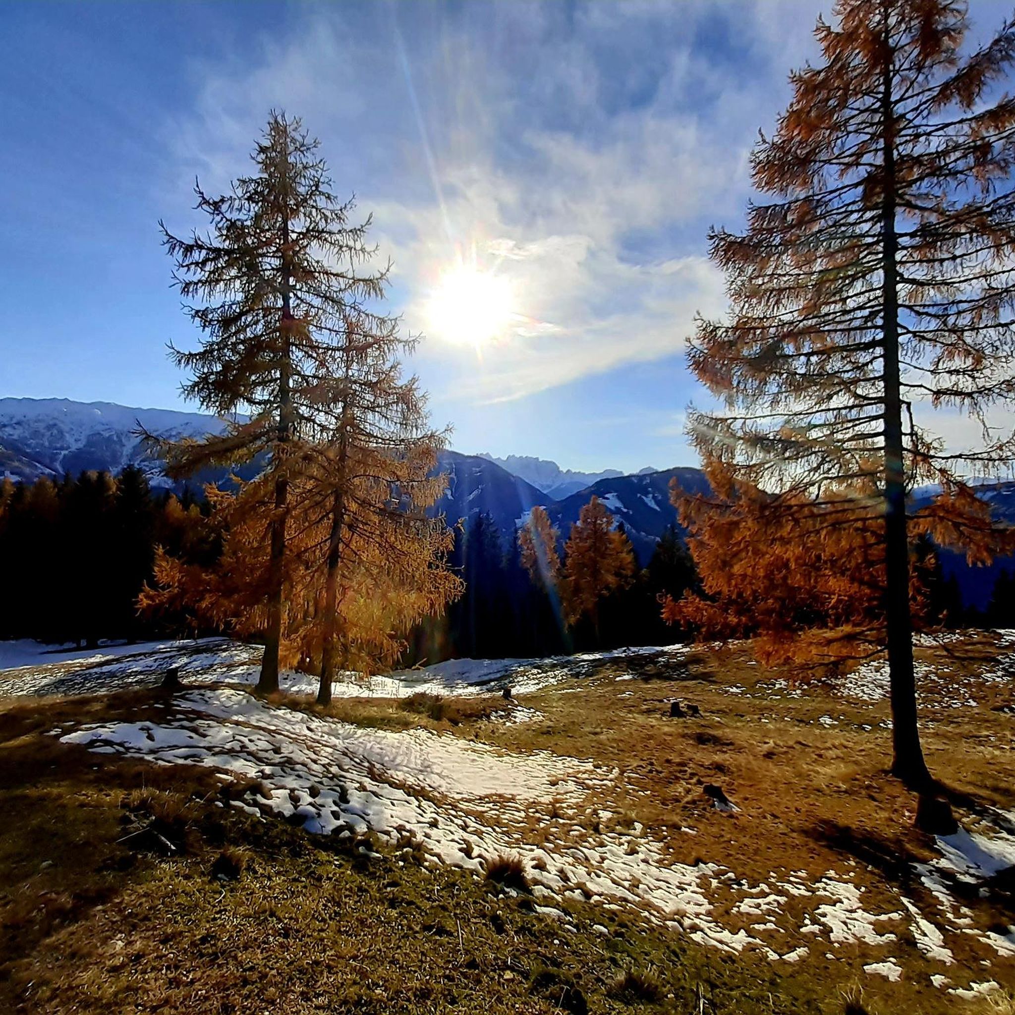
Cycling around Rangersdorf
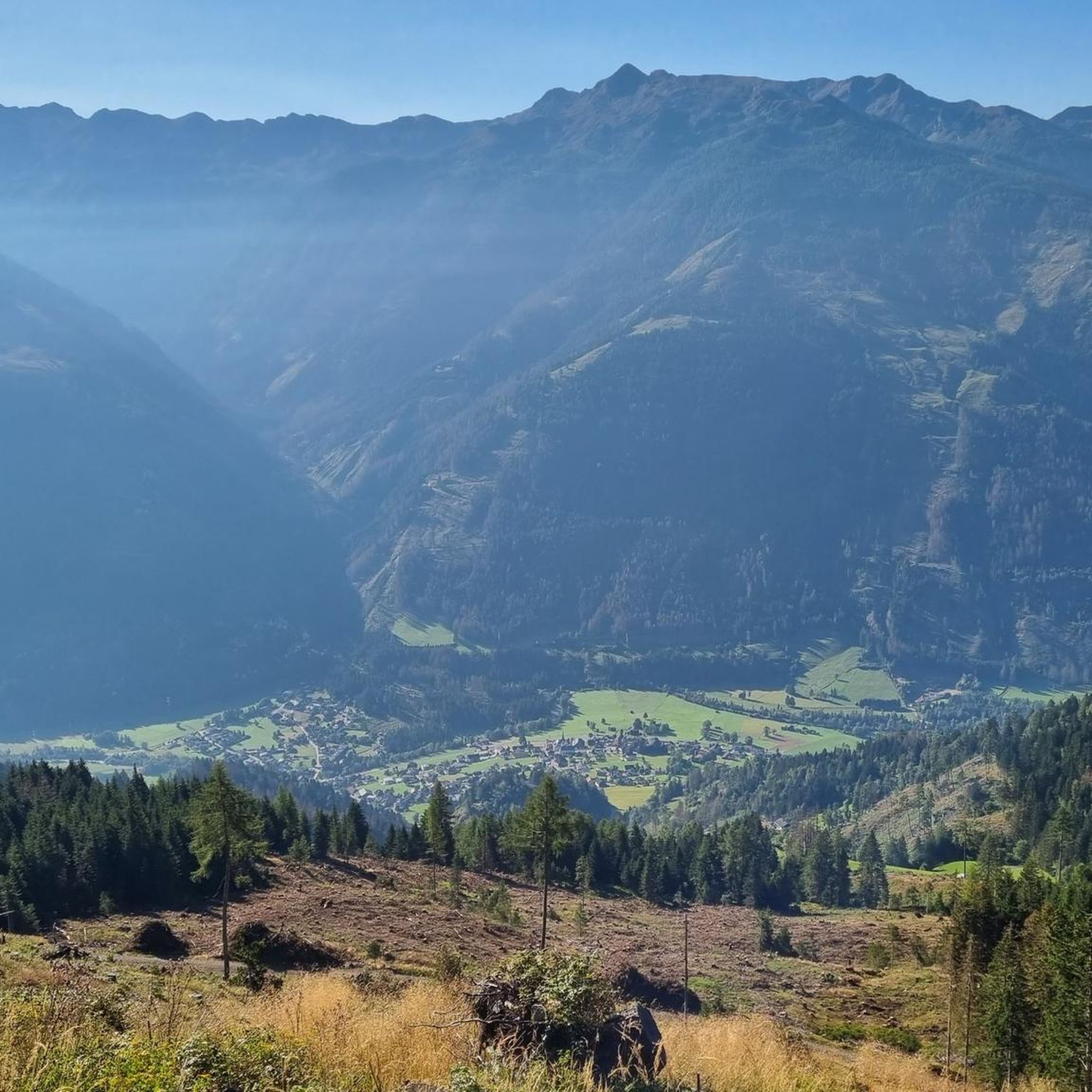
Hiking around Rangersdorf
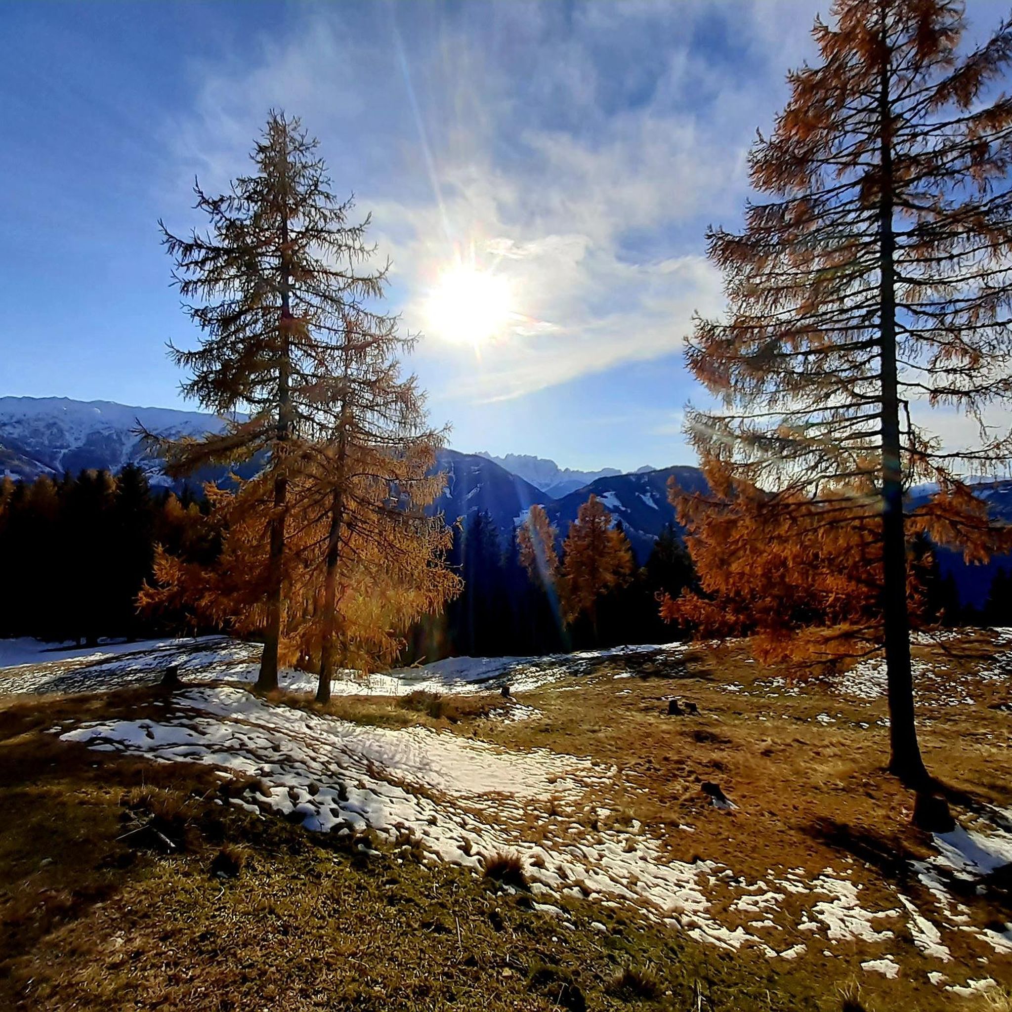
Road Cycling Routes around Rangersdorf
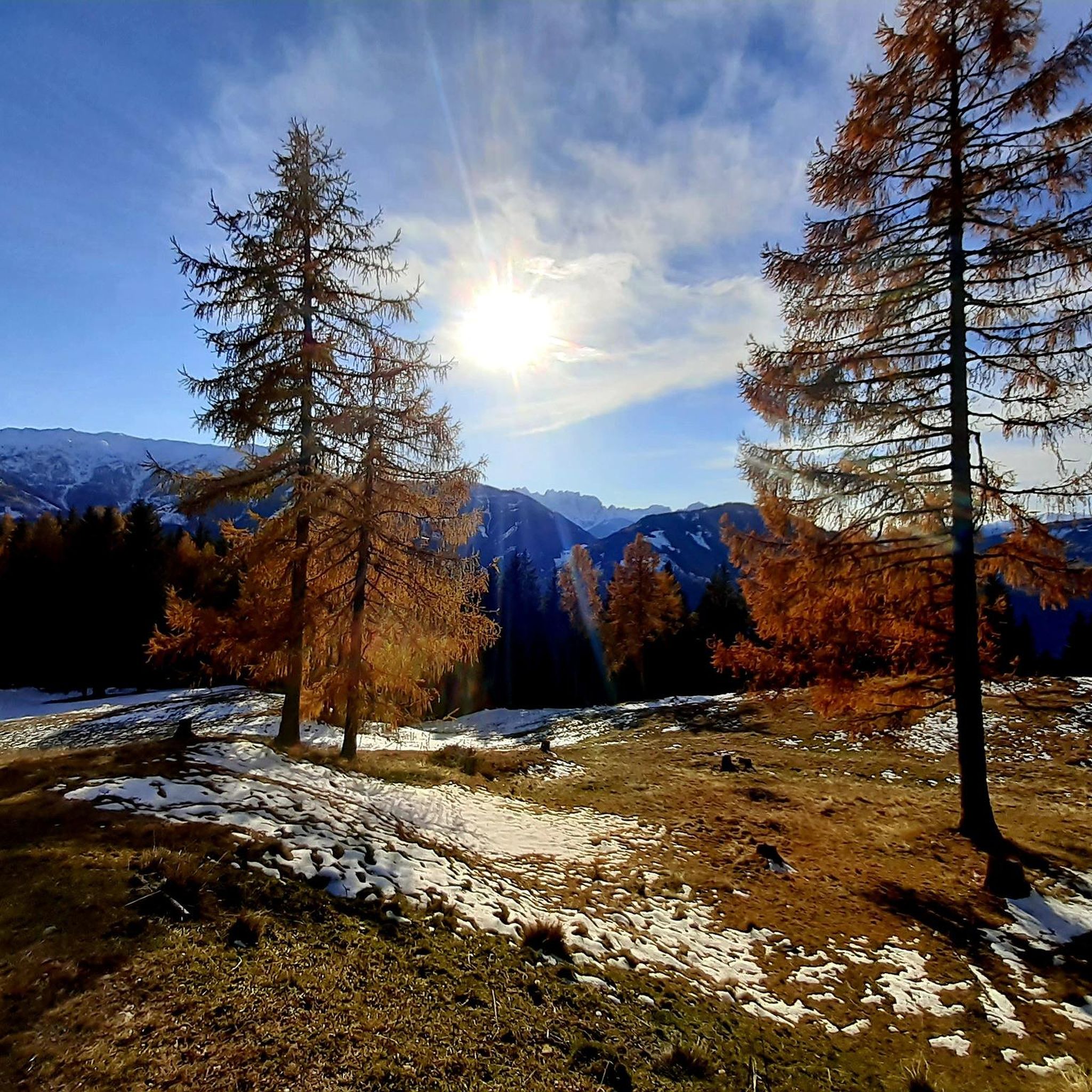
MTB Trails around Rangersdorf
Mountain Hikes around Rangersdorf
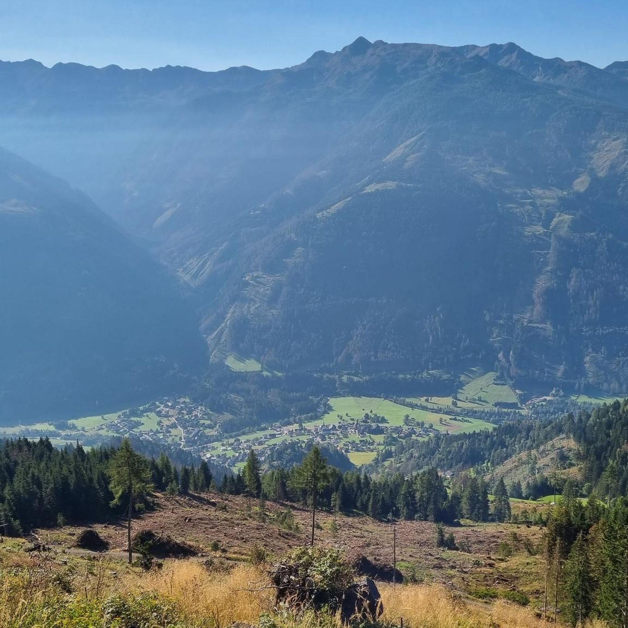
Running Trails around Rangersdorf


Tips from the Community


One of the most beautiful cycle paths, very varied.
0
0

This Russian chapel is located on the Cossack cemetery in Peggetz near Lienz in East Tyrol
0
0

a scenic highlight from the Iselsberg to the Lienzer Hütte
0
0
beautifully laid out cycle path in the Drautal
1
0
ideal starting point for all tours in the Schobergruppe
0
0


a shady section, which was pleasant given today's temperatures.
0
0
Frequently Asked Questions
What kind of terrain can I expect on gravel bike trails around Rangersdorf?
The terrain around Rangersdorf is quite varied, offering everything from well-maintained gravel paths along river valleys to more challenging routes with significant elevation gain and technical descents in the Gailtal Alps. You'll encounter impressive mountain ranges, lush valleys, and scenic river paths, often with views of the Kreuzeck group and the Lienz Dolomites.
Are there any easy or beginner-friendly gravel routes in the area?
While many routes directly around Rangersdorf feature significant elevation changes and are rated as difficult, the broader region offers options for various skill levels. The Gail Cycle Path and sections of the Drava Cycle Path, which pass through the area, combine paved roads and well-maintained gravel paths, offering less strenuous options for beginners or those seeking a more relaxed ride.
What are some scenic highlights or landmarks I can see along the gravel bike trails?
Many gravel routes offer breathtaking views of the Kreuzeck group and the Lienz Dolomites. You can also pass by the scenic Möll Valley and the Möll River. For specific landmarks, consider routes that take you near Ederplan, a prominent summit, or the Iselsberg Pass, known for its panoramic vistas. The Maiden's Leap Waterfall – Möll Cycle Path loop from Großkirchheim Burgstallbrücke specifically features a waterfall.
When is the best time of year to go gravel biking in Rangersdorf?
The best seasons for gravel biking in the Rangersdorf area are spring, summer, and early autumn. Spring brings wildflowers and mild temperatures, summer offers longer daylight hours, and autumn showcases vibrant fall foliage as you ride through alpine forests. It's always advisable to check local weather conditions before heading out.
Are there any family-friendly gravel biking options around Rangersdorf?
While many of the listed routes are rated as difficult due to elevation gain, the broader region offers family-friendly sections, particularly along the main cycle paths like the Gail Cycle Path or the Drava Cycle Path. These often feature flatter, well-maintained gravel or paved sections suitable for families. Always check the route details for distance and elevation to ensure it matches your family's ability.
Can I bring my dog on the gravel bike trails in Rangersdorf?
Many trails in the Rangersdorf area are suitable for dogs, especially those along river paths or through less technical terrain. However, it's crucial to keep your dog on a leash, especially in areas with wildlife or livestock, and to be mindful of other trail users. Always carry enough water for both yourself and your dog, and check specific trail regulations if available.
Are there any circular gravel bike routes available?
Yes, many of the gravel bike routes around Rangersdorf are designed as loops. For example, the Mölltal Cycle Path (R8) – Möll Cycle Path loop from Iselsberg and the Möll River Cycle Path – Möll River Near Oberkolbnitz loop from Tresdorf are both extensive circular routes that allow you to start and end in the same location.
What is the typical elevation gain on gravel bike trails in this region?
Gravel biking around Rangersdorf often involves significant elevation gain, as the region is characterized by impressive mountain ranges and alpine valleys. Many routes, even those following river paths, can feature over 1,000 meters of ascent. For instance, the Lienzer Hut in Debanttal – Lienzer Hut loop from Dölsach includes over 1,300 meters of climbing.
Are there options for public transport access to gravel trails in Rangersdorf?
Rangersdorf is part of Carinthia, a region with public transport options that can help access various trailheads. While specific bus routes directly to every gravel trail might be limited, you can often use regional buses or trains to reach nearby towns or starting points along major cycle paths like the Drava Cycle Path, which connects with East Tyrol and Carinthia. It's recommended to check local transport schedules for specific connections.
What do other gravel bikers enjoy most about gravel biking in Rangersdorf?
The area is highly rated by the komoot community, with an average score of 4.4 stars from over 30 reviews. Reviewers often praise the stunning alpine scenery, the diverse terrain that caters to different challenges, and the extensive network of gravel paths that allow for exploration of the Möll Valley and views of the surrounding mountain ranges.
Are there any long-distance gravel biking opportunities that connect to Rangersdorf?
Yes, Rangersdorf is well-situated for connecting to longer-distance routes. The Drava Cycle Path (Drauradweg), which includes both gravel and asphalt sections, passes through the broader area, offering routes that connect with East Tyrol and Carinthia. Additionally, the Gail Cycle Path is another popular route that combines paved and well-maintained gravel paths, following the scenic River Gail.
Are there any places to eat or stay that are particularly cyclist-friendly in Rangersdorf?
Rangersdorf, being a picturesque village in Carinthia, offers various accommodations and eateries. While specific cyclist-friendly establishments are best found through local directories, many guesthouses and restaurants in the region are accustomed to outdoor enthusiasts. For more general information about the destination, you can visit visitcarinthia.at.
Most popular routes around Rangersdorf
Most popular attractions around Rangersdorf

Get inspired with the komoot mobile app


Explore more
Browse the best Gravel rides in other regions.
