Top 3 Natural Monuments in Burgau
Best natural monuments in Burgau include diverse natural features, from protected lakes to scenic viewpoints and man-made hills. This region, situated in Germany, offers opportunities to explore landscapes shaped by both natural processes and human activity. Visitors can experience areas of ecological significance, such as rehabilitated lakes and managed river systems. The natural monuments in Burgau provide insights into local geography and conservation efforts.
Best natural monuments in Burgau
- The most popular natural monuments is View of the Federbach and…
Last updated: October 8, 2026
Knielinger Lake
Highlight • Lake
Translated by Google •
Tip by

Holzbierebuggel Summit Bench
Highlight • Summit
Translated by Google •
Tip by

Sign up now to discover places like this
Get recommendations on the best single tracks, peaks, & plenty of other exciting outdoor places.
View of the Federbach and the Rheinhafen power plant
Highlight • Viewpoint
The Knielinger See was supplied with too many nutrients …
Translated by Google •
Tip by

Start today with a free account
Your next adventure awaits.
Tips from the Community


Tip for "Buggel": https://bnn.de/karlsruhe/muellkippen-zugeschuettet-deponien-abfall-im-boden or: https://www.leo-bw.de/kartenvergleich 🤔!?
1
0

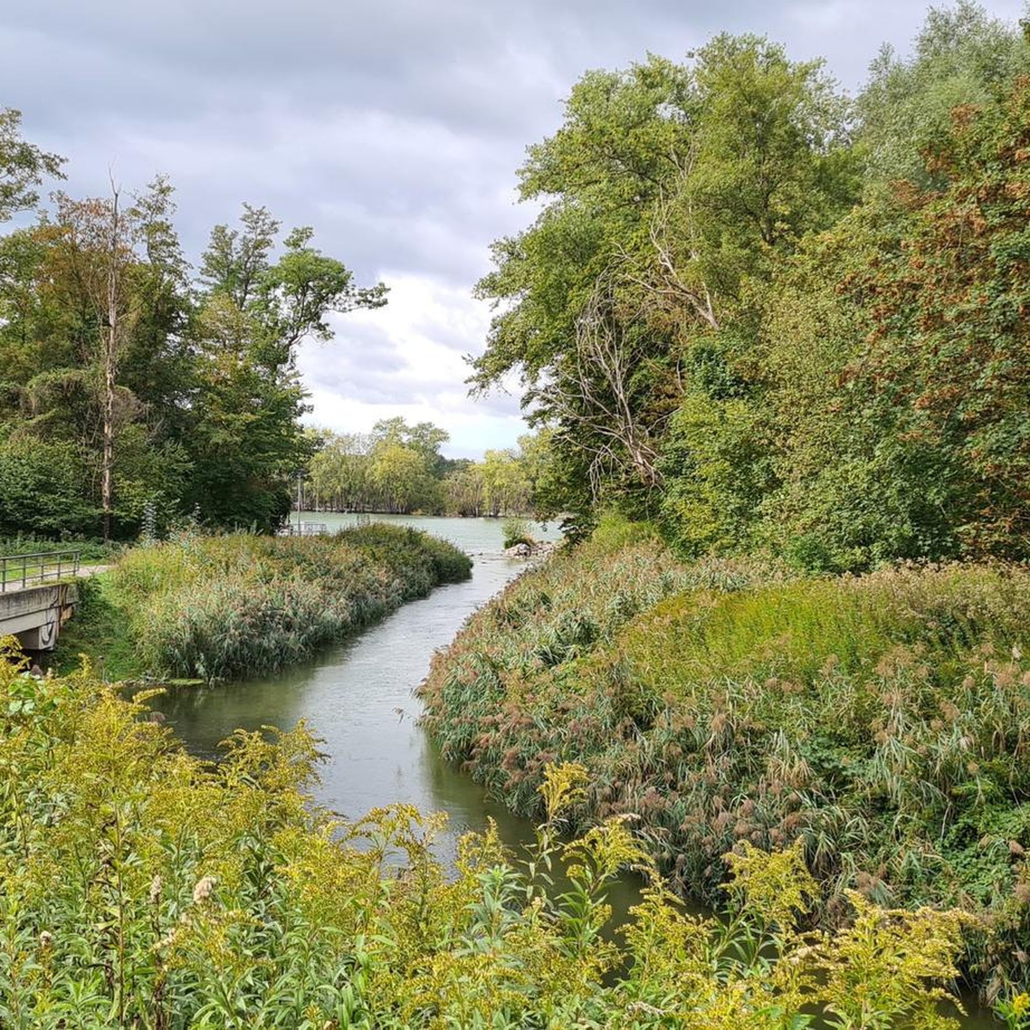
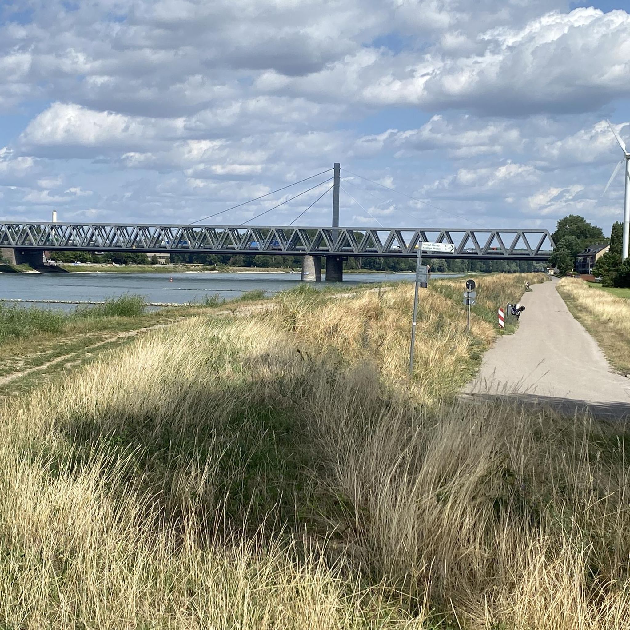
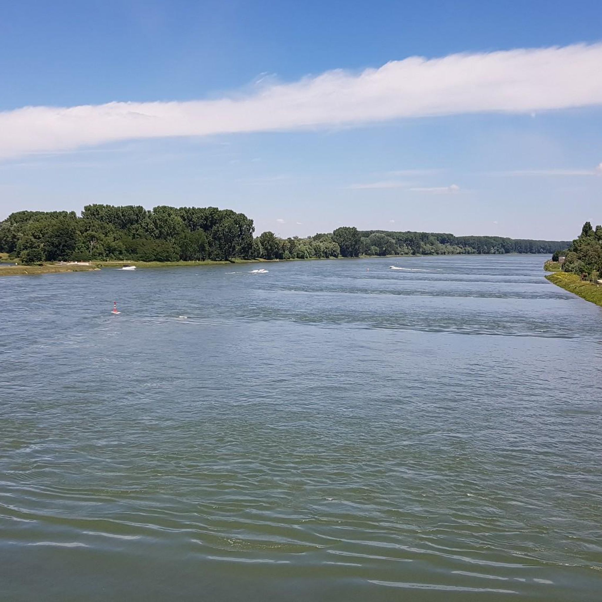
There is a bridge over the Federbach and next to it an extra bridge for pedestrians. A nice connection to the Knielinger See as an alternative to the path in the Rheinhafen. From here you can see the coal-fired power plant behind a beautiful landscape of meadows and streams. The Federbach arises in the local area of Malsch, is approx. 42 km long and flows parallel to the Rhine for a long time. It crosses under the harbor basin in a culvert and then leads into the Knielinger See. The water management and ecological pilot project "Federbach lowland development concept" from 1993 aimed at the natural development of the Federbach and its lowland areas. In the meantime, he is guided past the lake.
5
1

The Federbach is an approximately 42-kilometer-long stream in Baden-Württemberg. It flows through the districts of Karlsruhe and Rastatt and today flows into the Alb near the Karlsruhe district of Maxau. See https://de.wikipedia.org/wiki/Federbach_(Alb)
5
2

It is not a mountain of rubble as is sometimes claimed (so it has nothing to do with the rubble of the Second World War), but was only created in the 1970s, when the excavation from the construction of the southern bypass on Knielingen was heaped up into a hill and then (below other things, probably also with wooden pears (wooden beers)) was planted. The view that could still be enjoyed from its “summit” until the 1990s has unfortunately almost grown over in the meantime (2007). Source: ka.stadtwiki.net
4
0

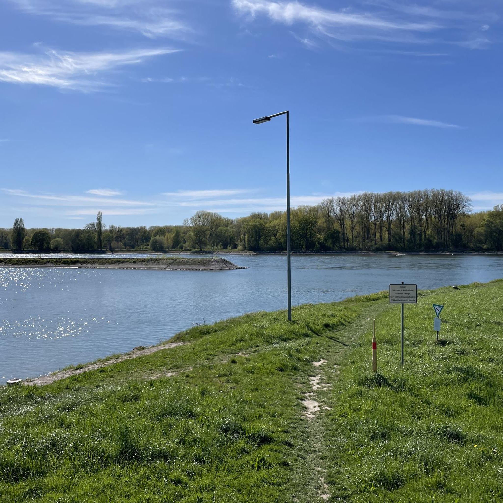
The Federbach no longer flows into the Knielinger See, but is routed around the lake in its own ditch. The reason: The Knielinger See was supplied with too many nutrients by the Federbach and penetrating groundwater and threatened to tip over in hot and long summers (massive growth of algae ...). The lake was therefore rehabilitated from January 2013 to February 2016. In order to increase the oxygen content, an inlet structure was built and connected to the southern part of the lake via a canal. This means that nutrient-poor and oxygen-rich Rhine water gets into the lake. Anyone who crosses the bridge over the Federbach has a view of beautiful, lively nature. However, the industrial chimneys of the Rhine port flash through between the trees and bushes. Nature and industry at a glance.
9
0

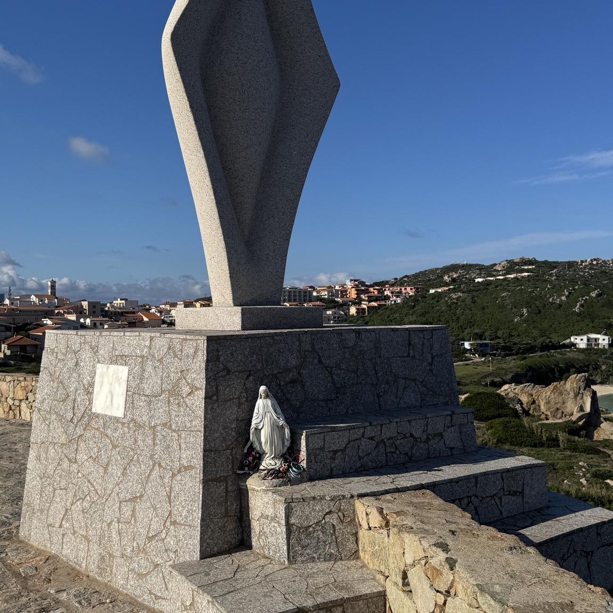
Small, inconspicuous hill with a bench on the top. The path is lined with some sculptures.
3
0
Frequently Asked Questions
What types of natural monuments can I explore in Burgau?
In Burgau, you can explore diverse natural features including protected lakes, scenic viewpoints, and unique man-made hills. These sites offer a blend of natural beauty and insights into local conservation efforts.
Are there any protected nature areas among Burgau's natural monuments?
Yes, Knielinger Lake is a significant protected nature area. Originally a gravel pit, it is now part of a nature reserve and is supplied with fresh water from the Rhine port, contributing to its ecological importance.
What is unique about the natural monuments in Burgau regarding industry and nature?
The View of the Federbach and the Rheinhafen power plant offers a unique perspective where natural landscapes, like the Federbach river, coexist with industrial elements of the Rheinhafen power plant. This area showcases ecological efforts to manage the Federbach and rehabilitate the Knielinger See.
Are there any viewpoints to enjoy panoramic scenery in Burgau?
Absolutely. The View of the Federbach and the Rheinhafen power plant provides a scenic outlook. Additionally, the Holzbierebuggel Summit Bench, a hill created from construction excavation, offers a bench at its top for visitors to enjoy the surroundings.
What outdoor activities can I do near these natural monuments?
The area around Burgau offers various outdoor activities. You can find numerous hiking trails, including easy loops like the 'Boat landing at Knielinger Lake – Federbach at Knielinger See loop' or 'Cattle at Knielinger Lake – View of Knielinger Lake loop'. For cycling enthusiasts, there are routes such as the 'Flood Protection Dike – Alb Riverside Trail loop'. Mountain biking trails are also available for more challenging rides. You can explore more options on the Hiking in Burgau, MTB Trails in Burgau, and Cycling in Burgau guide pages.
Are the natural monuments in Burgau suitable for families?
Yes, several natural monuments are considered family-friendly. Knielinger Lake, Holzbierebuggel Summit Bench, and the View of the Federbach and the Rheinhafen power plant are all categorized as suitable for families, offering accessible and enjoyable experiences for all ages.
What is the history behind the Holzbierebuggel Summit Bench?
The Holzbierebuggel Summit Bench is a man-made hill created in the 1970s from excavation during the construction of the southern bypass on Knielingen. It's not a rubble mountain from wartime, but rather a landscaped feature that now offers a bench at its summit and is lined with sculptures.
How has the Knielinger Lake been managed for conservation?
The Knielinger Lake, which originated from gravel extraction, has undergone significant rehabilitation efforts. From 2013 to 2016, it was rehabilitated to increase oxygen content, with an inlet structure built to supply it with nutrient-poor, oxygen-rich Rhine water. The Federbach, which previously flowed into the lake, is now routed around it to prevent nutrient overload.
What do visitors particularly enjoy about Burgau's natural monuments?
Visitors appreciate the variety of experiences, from the tranquil waters of Knielinger Lake to the elevated perspectives offered by viewpoints like the Holzbierebuggel Summit Bench. The blend of nature and industry, as seen from the View of the Federbach and the Rheinhafen power plant, also captures interest, showcasing the region's unique character and conservation efforts.
Are there easy walking trails to access the natural monuments?
Yes, there are several easy walking trails in the vicinity. For instance, the 'Maxau Estate – Maratz Estate Farm Shop & Café loop' is an easy 3.5 km walk. Many of the trails around Knielinger Lake are also rated as easy, making them suitable for leisurely exploration. You can find more easy options on the Hiking in Burgau guide page.
Can I spot wildlife near the natural monuments in Burgau?
The protected status of areas like Knielinger Lake and the ecological management of the Federbach create habitats that can attract various wildlife. While specific sightings are not guaranteed, these natural areas offer opportunities for observing local flora and fauna, especially around the water bodies and along the riverbanks.
How long does it typically take to explore the natural monuments in Burgau?
The time needed depends on how many sites you wish to visit and your chosen activity. For example, an easy loop hike around Knielinger Lake might take 1-2 hours. Visiting a viewpoint like Holzbierebuggel Summit Bench could be a shorter stop. To experience all the main natural monuments and enjoy some of the nearby trails, you could easily spend a half to a full day.
Most popular routes in Burgau
Most popular attractions in Burgau

Get inspired with the komoot mobile app


Explore more
Extend your search for the best caves by checking out these guides of the top ones in Burgau:
