Top 5 Mountain Passes in Duitama
Mountain passes in Duitama, situated in Colombia's Andean mountains, offer diverse high-altitude routes. The region provides challenging terrain and panoramic views. These routes are known for their natural features and varied ecosystems. Duitama's mountain passes are suitable for different outdoor activities.
Best mountain passes in Duitama
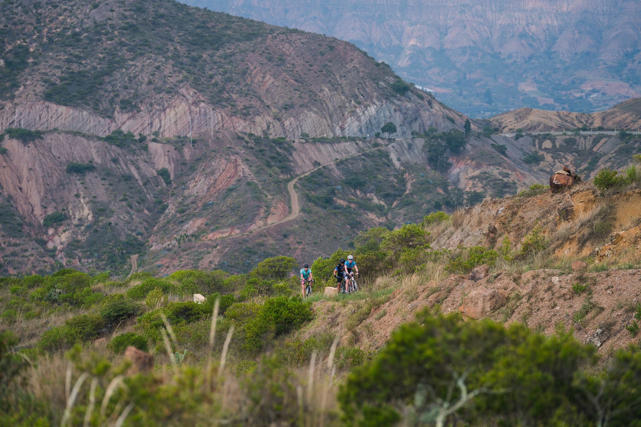
- The most popular mountain pass is Curies Summit, a mountain pass that reaches an elevation of 2900 meters above sea level. This destination is popular with road and mountain cyclists, offering a challenging…
Last updated: July 3, 2026
Curies Summit
Highlight • Mountain Pass
Translated by Google •
Tip by

Puerta de Cuche
Highlight • Mountain Pass
Translated by Google •
Tip by
Sign up now to discover places like this
Get recommendations on the best single tracks, peaks, & plenty of other exciting outdoor places.
Sign up for free
Alto de Tobasía
Highlight • Mountain Pass
Translated by Google •
Tip by
Alto del Portachuelo
Highlight • Mountain Pass
Translated by Google •
Tip by
Alto de Santa Ana (Charalá Road)
Highlight • Mountain Pass
Translated by Google •
Tip by
Sign up for free to discover even more mountain passes in Duitama.
Sign up for free
Already have an account?
Start today with a free account
Your next adventure awaits.
Login or Signup

Other adventures in Duitama

Tips from the Community

I did it by diverting onto an unpaved route from Santa Rosa de Viterbo, a good option if you want to avoid traffic on the main road, however, it is recommended on MTB or Gravel.
0
0

Summit between the municipalities of Santa Rosa de Viterbo and Belén. Elevation close to 3000 meters above sea level
0
0
Stop between the municipalities of Santa Rosa de Viterbo and Cerinza. Elevation 2974 meters above sea level.
0
0
Mythical port at 2940 masl between Tobasía and Santa Rosa de Viterbo. Completely paved road in very good condition.
0
0

it is very good to climb 2 km to the antennas
0
0
Detour point from via Cuche to Santa Rosa de Viterbo. By a branch you can reach the top of Tobasía. Unpaved segments.
1
0
Mythical paved port in very good condition from Duitama. Average slope of 7.5%. Loosen up to 4% in the last kilometer.
0
0
Mythical port very visited by road and mountain cyclists. Elevation of 2900 meters above sea level. Completely paved section from Firavitoba. From Paipa there are still some segments to be paved.
1
0
Frequently Asked Questions
What unique natural features can I expect to see in Duitama's mountain passes?
The mountain passes around Duitama offer diverse high-altitude ecosystems. You can explore páramos rich in native flora like frailejones (some reaching up to 10 meters), chite, siete cueros, gaque, and encenillo. Areas like Páramo Pan de Azúcar and Páramo de La Rusia feature numerous lagoons, wetlands, stone outcrops, and beautiful waterfalls.
Which mountain passes are popular for cycling in Duitama?
Several mountain passes are highly favored by cyclists. Curies Summit is a mythical port popular with both road and mountain cyclists, offering a challenging ascent to 2,900 meters above sea level. Alto de Santa Ana (Charalá Road) is another mythical paved port with an average slope of 7.5%, known for its good condition. Some sections of Páramo de La Rusia are also popular for mountain biking. For more cycling routes, check out the Cycling in Duitama guide.
Are there challenging trekking experiences available in Duitama's mountain passes?
Yes, Duitama offers several challenging trekking experiences. The trek through Páramo Pan de Azúcar is approximately five hours, allowing for flora observation and experiencing high-mountain ecosystems. Páramo de La Rusia provides an even more demanding 8-hour trekking experience amidst spectacular landscapes and unique biodiversity. The Sendero Ecológico La Zarza also offers immersive hikes through high Andean forests and páramo.
What hiking trails can I find near Duitama's mountain passes?
The Sendero Ecológico La Zarza is a notable ecological trail extending approximately 14 kilometers, with elevations from 2,650 to 3,550 meters. It features clean-water streams, numerous bridges, and beautiful waterfalls. There are two routes: 'Ruta El Chorro' (6.5 km, 6 hours) and 'Ruta La Rastra' (7.5 km, 7 hours). For other hiking and running options, explore the Running Trails in Duitama guide.
Are there any mountain passes with historical significance in the Duitama region?
Yes, the Sendero Ecológico La Zarza, located in the Surba and Bonza Norte de la Trinidad village, was historically used as a 'Camino Real' for trade. This trail offers a blend of natural beauty and a glimpse into the region's past.
What kind of views can I expect from Duitama's mountain passes?
Many mountain passes in Duitama offer breathtaking panoramic views. From Páramo Pan de Azúcar, you can enjoy expansive vistas of the municipalities of Duitama, Sogamoso, Santa Rosa de Viterbo, and Paipa. Puerta de Cuche and Alto de Tobasía are also recognized as viewpoints, providing stunning perspectives of the Andean landscape.
What is the best time to visit Duitama's mountain passes for outdoor activities?
The mountain passes in Duitama are situated in the Andean mountains, meaning they can experience cold climates, especially at higher elevations. While specific seasonal recommendations aren't provided, generally, the dry season (typically December to March and July to August) offers more stable weather conditions for outdoor activities like cycling and trekking, though you should always be prepared for changing mountain weather.
What are the typical elevations of mountain passes in Duitama?
The mountain passes in Duitama vary significantly in elevation. For instance, Curies Summit reaches 2,900 meters above sea level, while Alto de Tobasía is at 2,940 meters. Higher up, Páramo Pan de Azúcar sits at approximately 3,850 meters, and Páramo de La Rusia reaches an impressive 4,000 meters above sea level.
Are there any unpaved sections on the mountain passes in Duitama?
Yes, some mountain passes in Duitama feature unpaved segments. While Curies Summit has paved sections from Firavitoba, some parts from Paipa are still unpaved. Similarly, Puerta de Cuche also includes unpaved sections. However, passes like Alto de Tobasía are known for completely paved roads in very good condition.
What kind of wildlife can be spotted in the páramos of Duitama?
The páramos around Duitama, such as Páramo Pan de Azúcar and Páramo de La Rusia, are rich in native flora and fauna. While specific animal species are not detailed, these high-altitude ecosystems are home to various animals adapted to the unique environment, offering opportunities for wildlife observation, particularly birds and small mammals.
Can I combine a visit to a mountain pass with cultural attractions?
Yes, you can. The Sendero Ecológico La Zarza, for example, culminates near the charming Pueblito Boyacense, an architectural recreation of iconic Boyacá towns. This allows visitors to combine an immersive hiking experience through natural landscapes with a cultural excursion.
Most popular attractions in Duitama

Get inspired with the komoot mobile app


Explore more
See even more epic mountain passes by checking out these guides in Duitama:
